


Trail run route Palfries: Gonzen ladder
Úroveň náročnosti: T4

The T4 route to the Palfries mountain station is a challenging trail run that requires technical skill, surefootedness, and endurance. On varied paths, we encounter rocky passages, steep climbs, and dense...
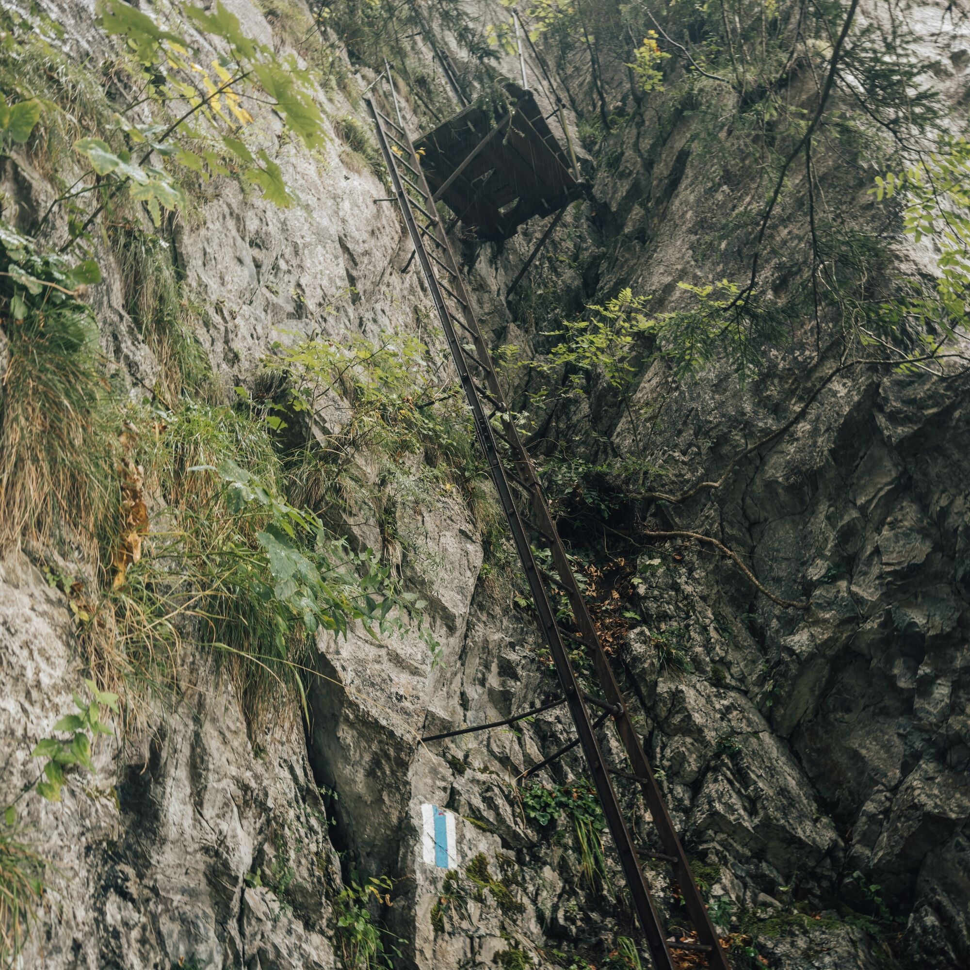
The T4 route to the Palfries mountain station is a challenging trail run that requires technical skill, surefootedness, and endurance. On varied paths, we encounter rocky passages, steep climbs, and dense forests. Especially the spectacular Gonzen ladder with its steep ladders demands a head for heights and concentration but rewards with unforgettable views of the Rhine Valley, the Principality of Liechtenstein, and the Bündner mountains.
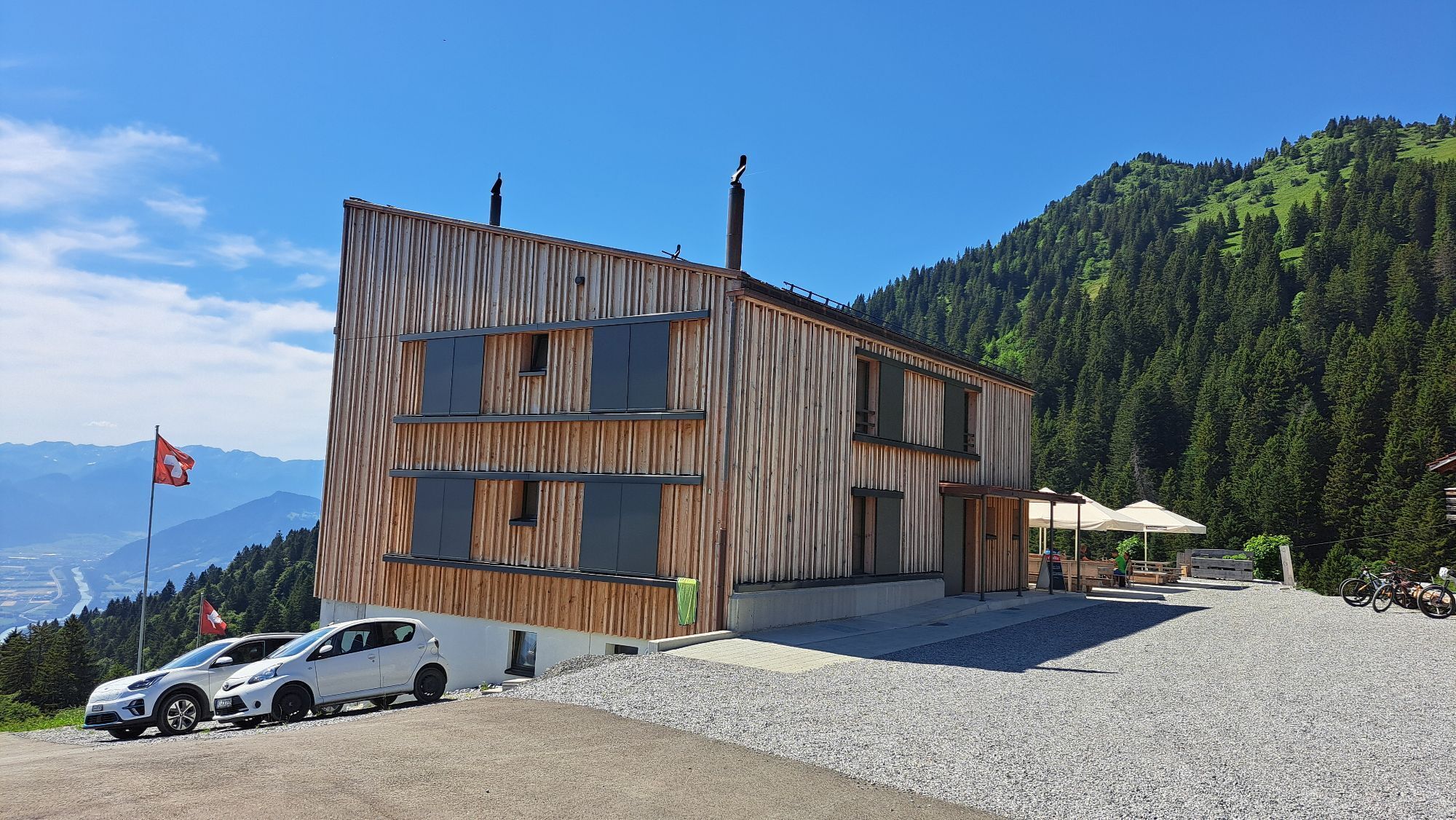
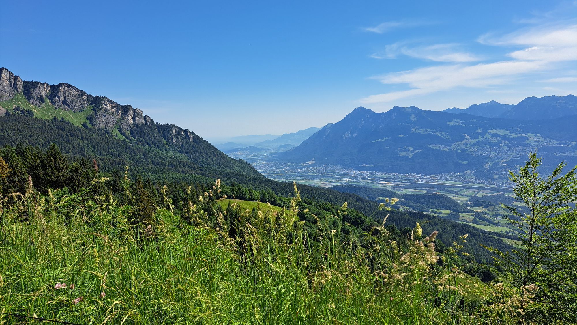
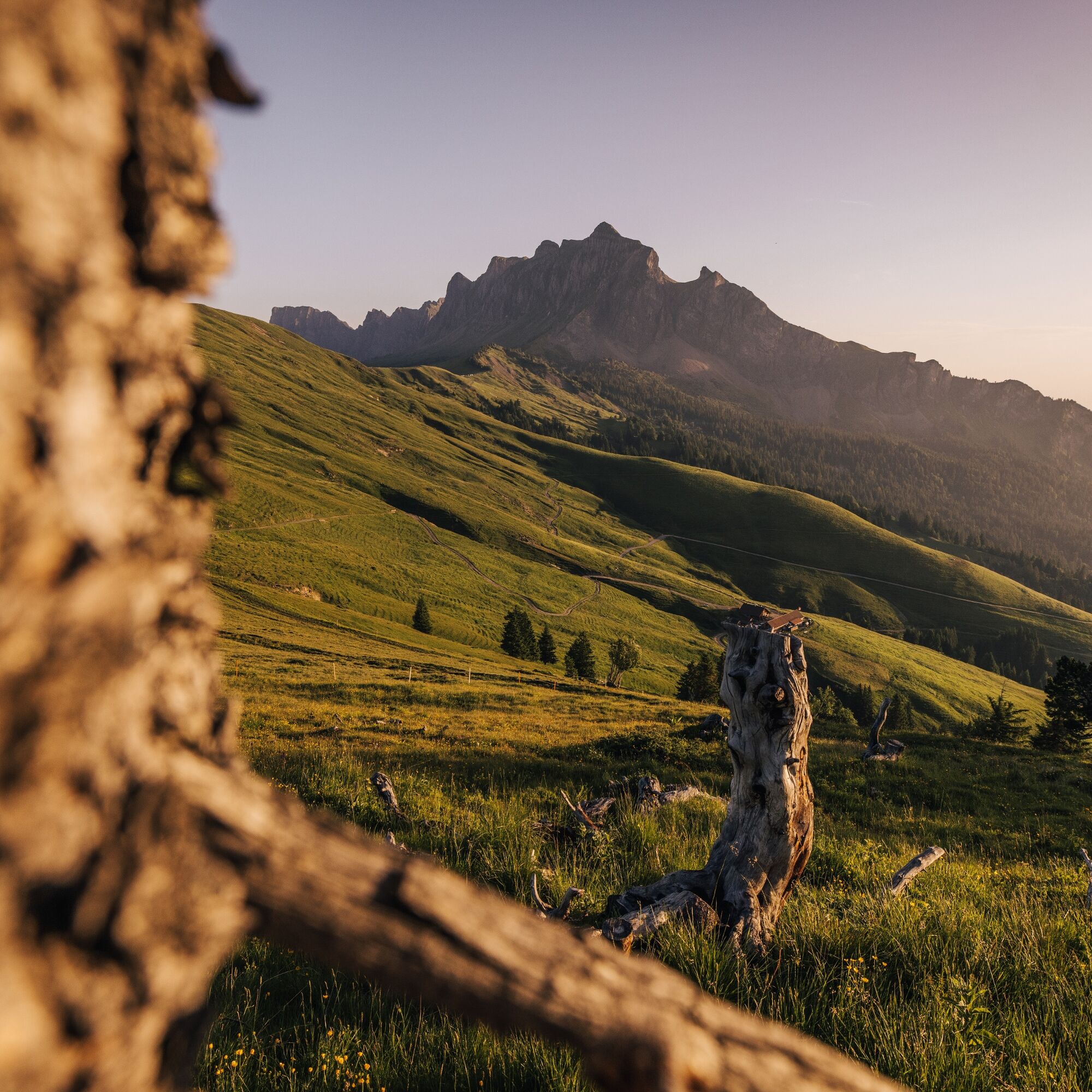
The route leads through impressive natural landscapes characterized by alpine flora and idyllic meadows. Panoramic views open up again and again, quickly making us forget the effort. After the demanding climb, the mountain inn Gonzen invites you to a well-deserved rest before the route continues over gentle meadows and easily passable paths to the Palfries mountain station.
At the top, we are rewarded with a magnificent view and can relax at the Palfries mountain inn before the cable car comfortably takes us back down to the valley.


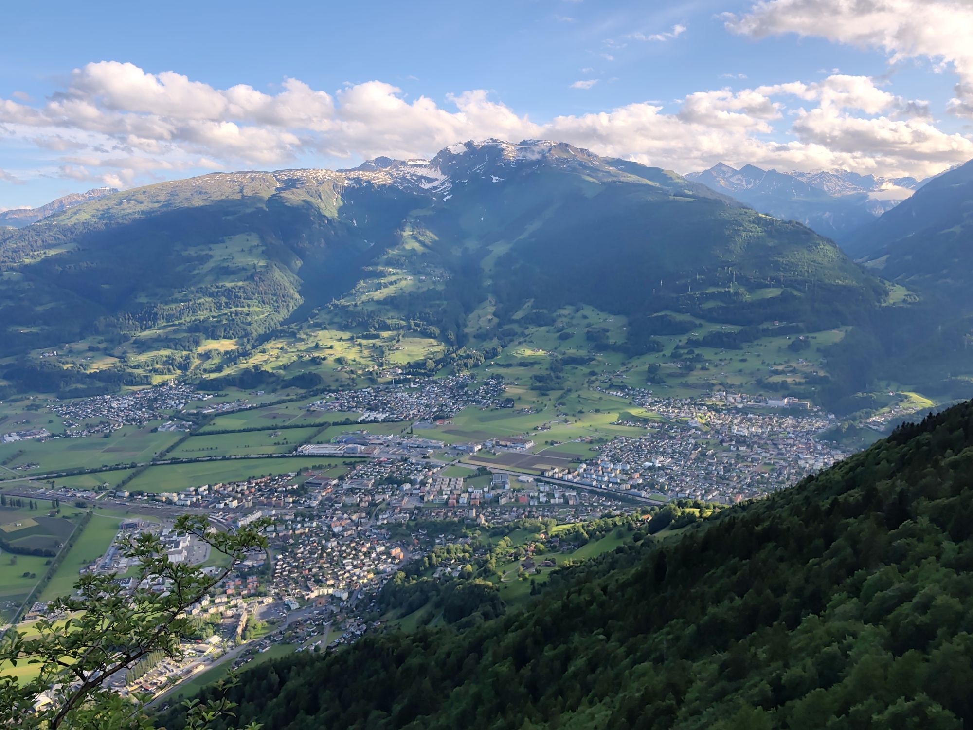
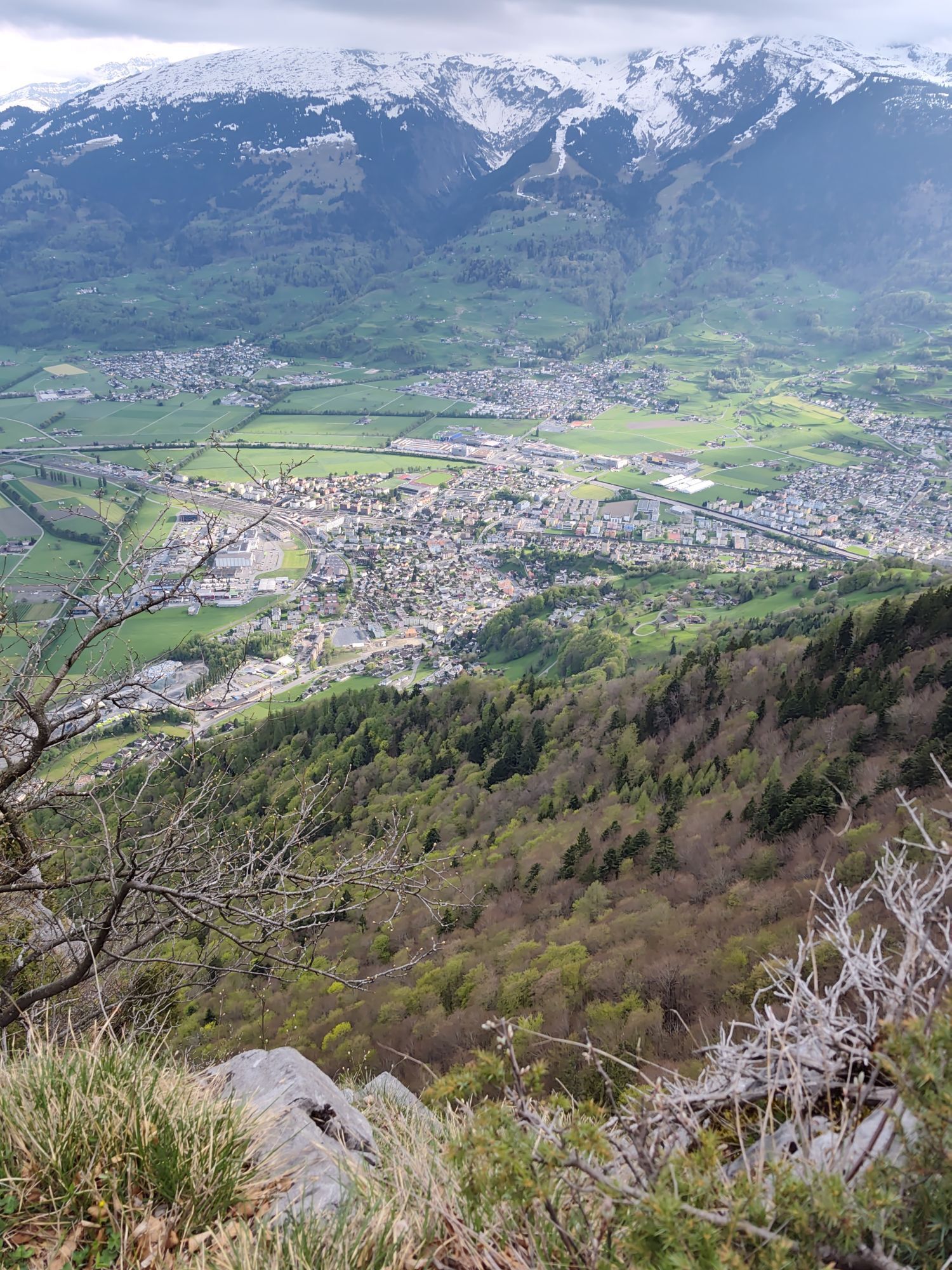
The starting point at the valley station of the Palfries cable car first leads us through the shady Ragnatscher Forest towards Heiligkreuz. At the intersection where Kürschnengasse, Tscherfingergasse, and Erzweg meet, we follow the well-marked Erzweg, which leads us further towards Sargans to the Erzbild. This first section offers varied and well-marked hiking trails. Upon reaching Erzbild, we have already gained the first altitude meters and can take a short break.
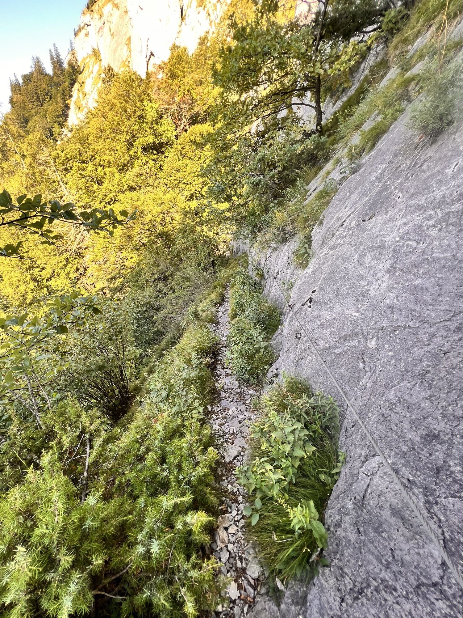
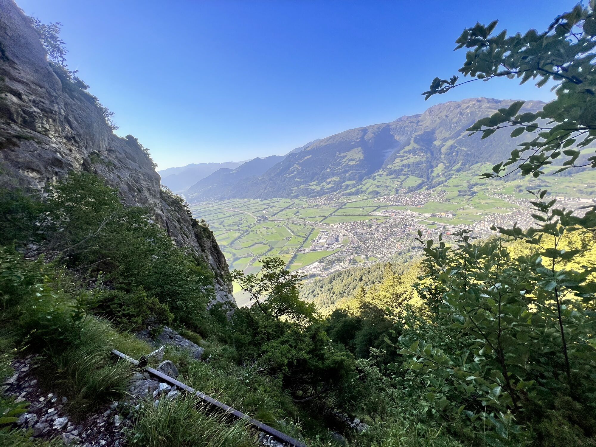
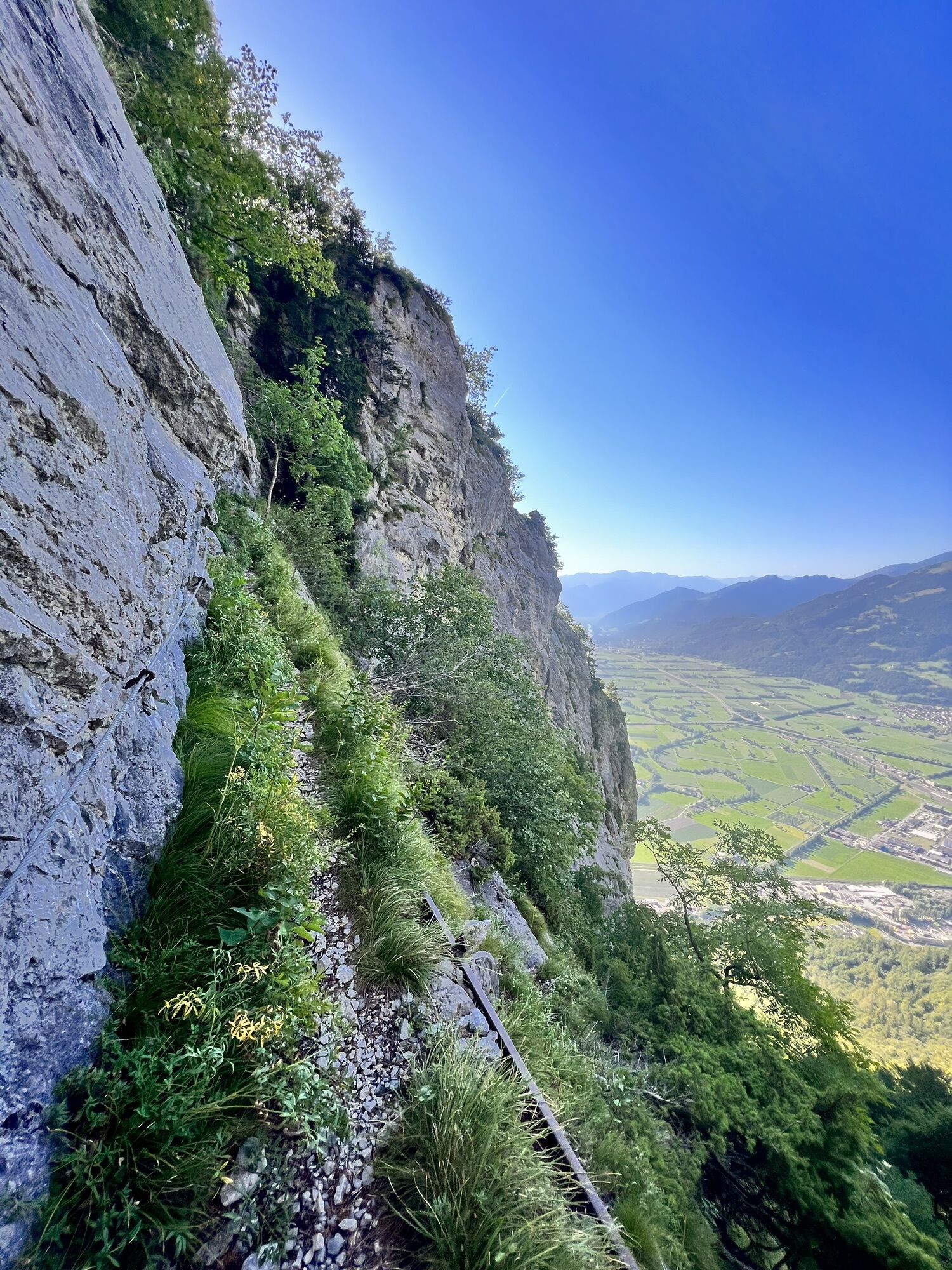
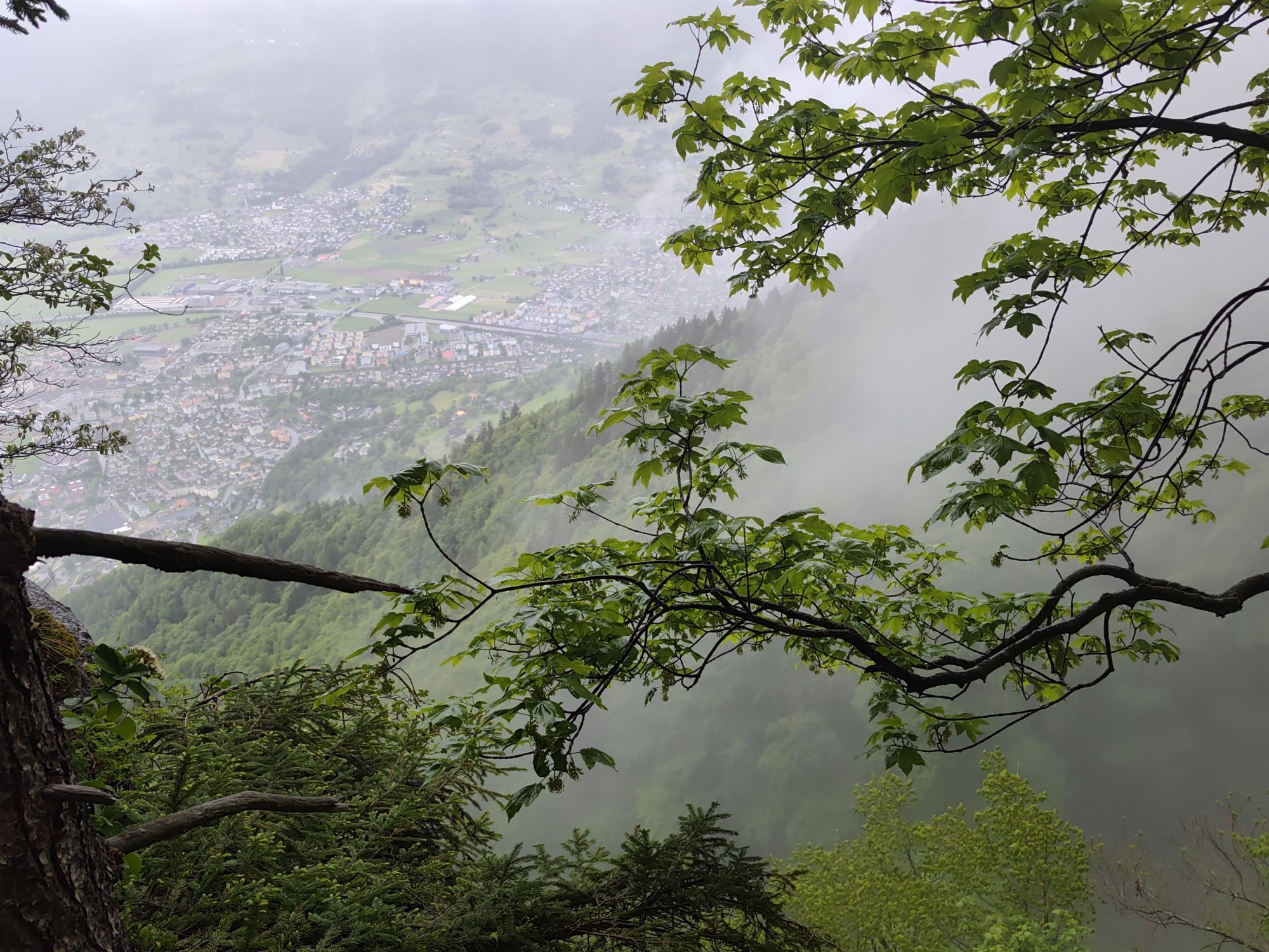
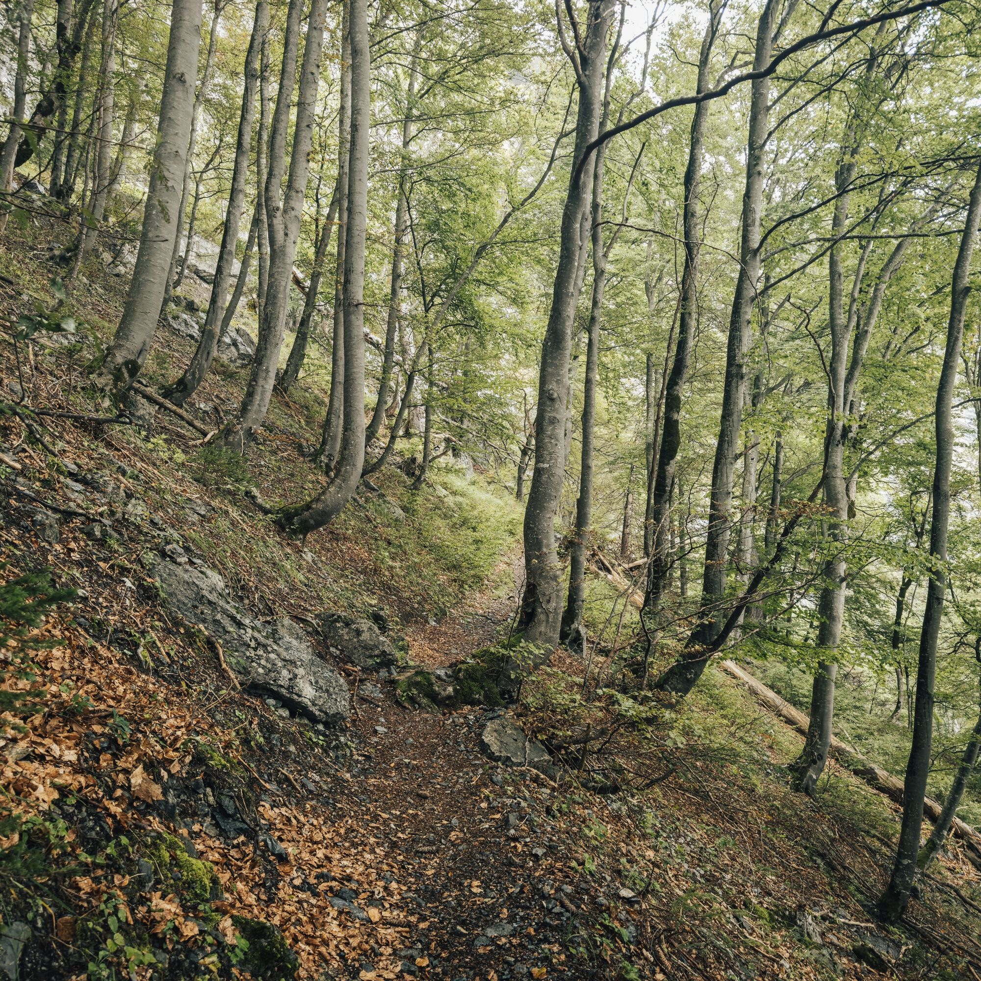
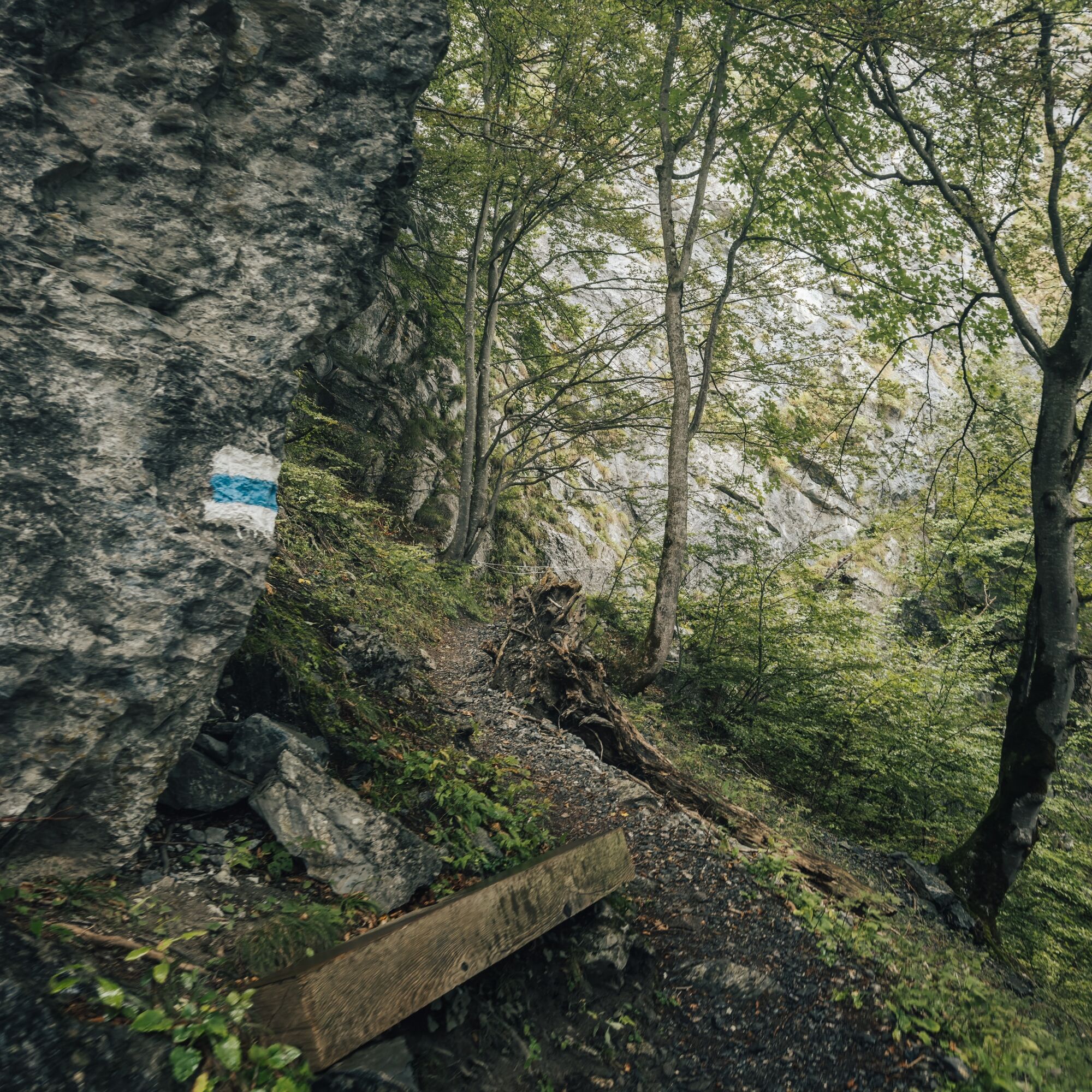
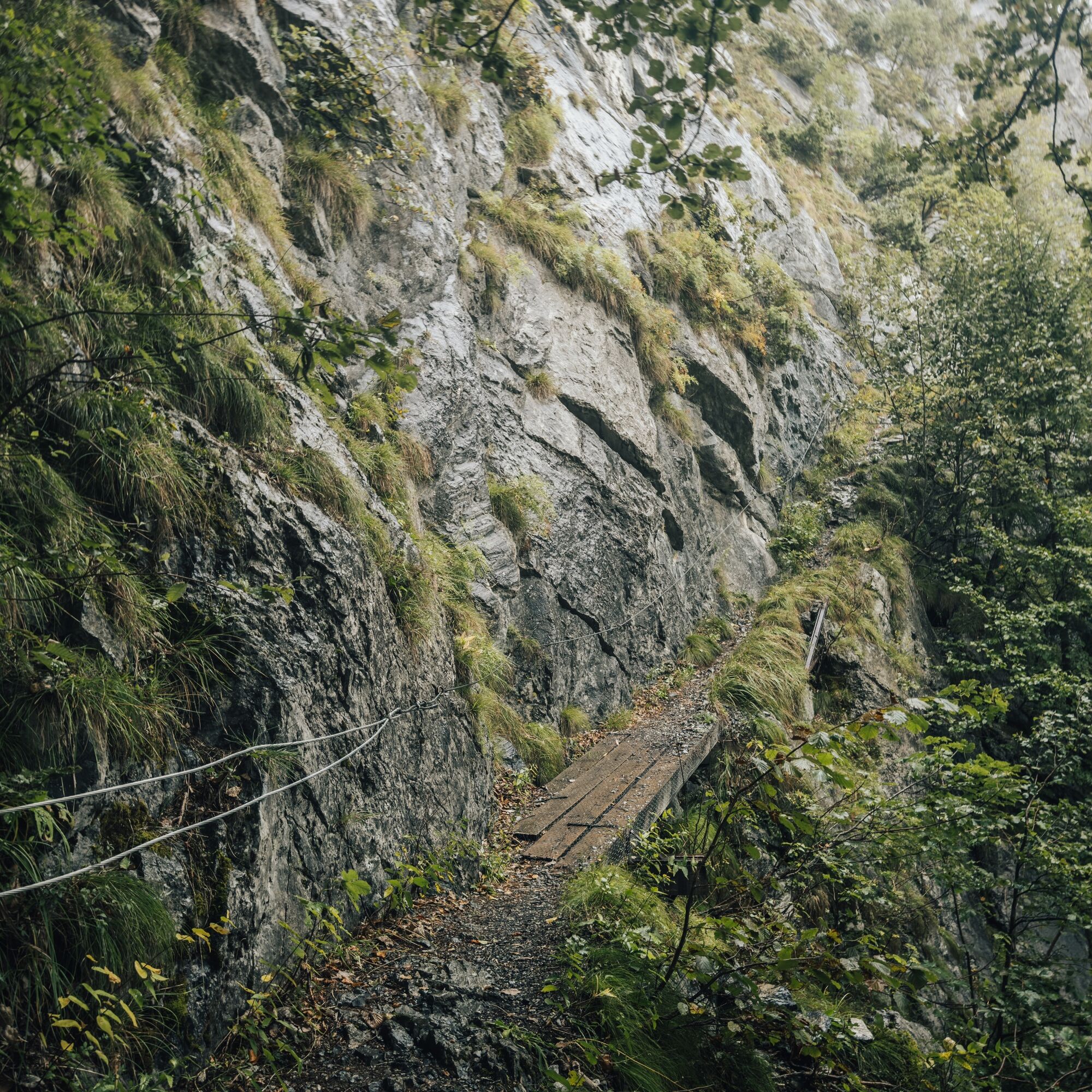
From Erzbild, a narrow path leads further until we reach the blue-white marked path to the Gonzen ladder. The path begins initially as a forest road and passes by Cholplatz, where the crossing to the Gonzen ladder starts. This section is continuously well marked and offers impressive views down to Sargans. The last meters to the ladder are secured with wire ropes before the most spectacular section of the route follows: we climb up two steep ladders – a passage that requires surefootedness and a head for heights. We are rewarded with breathtaking views before ascending through the steep forest to the Älpli.
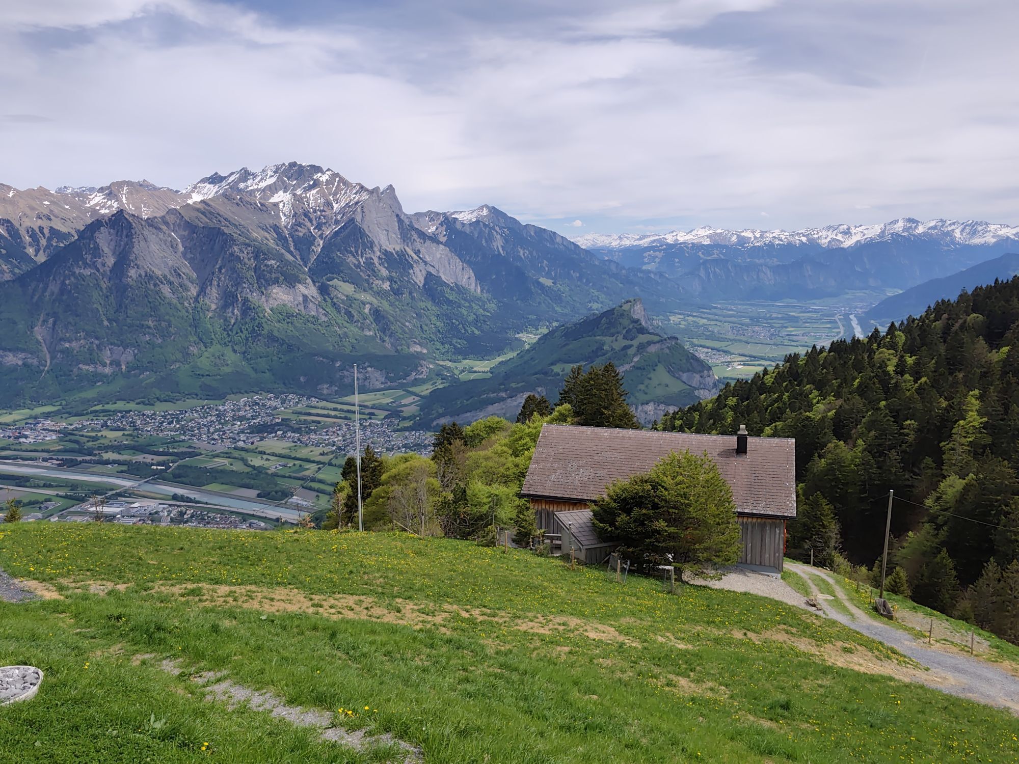
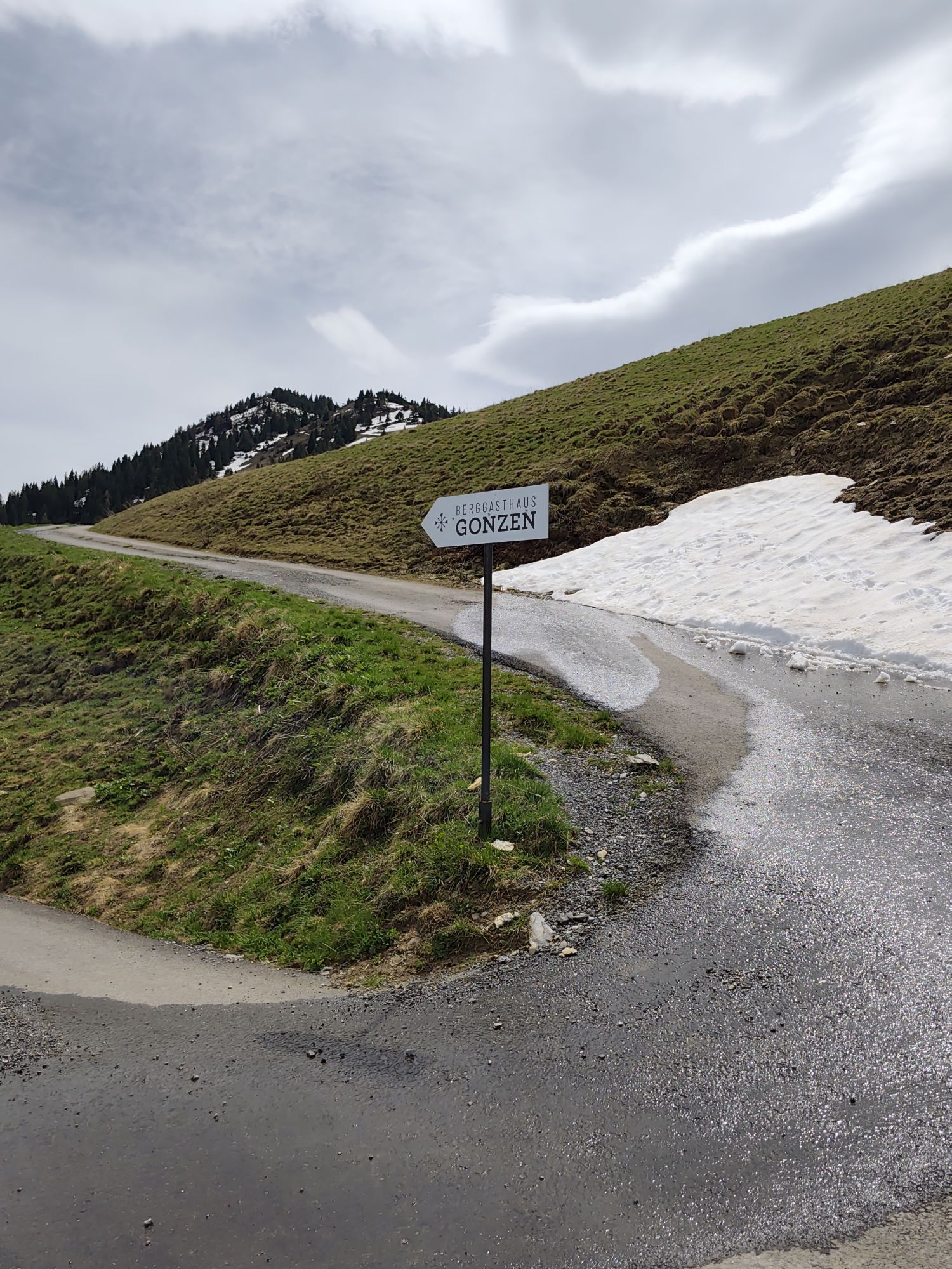
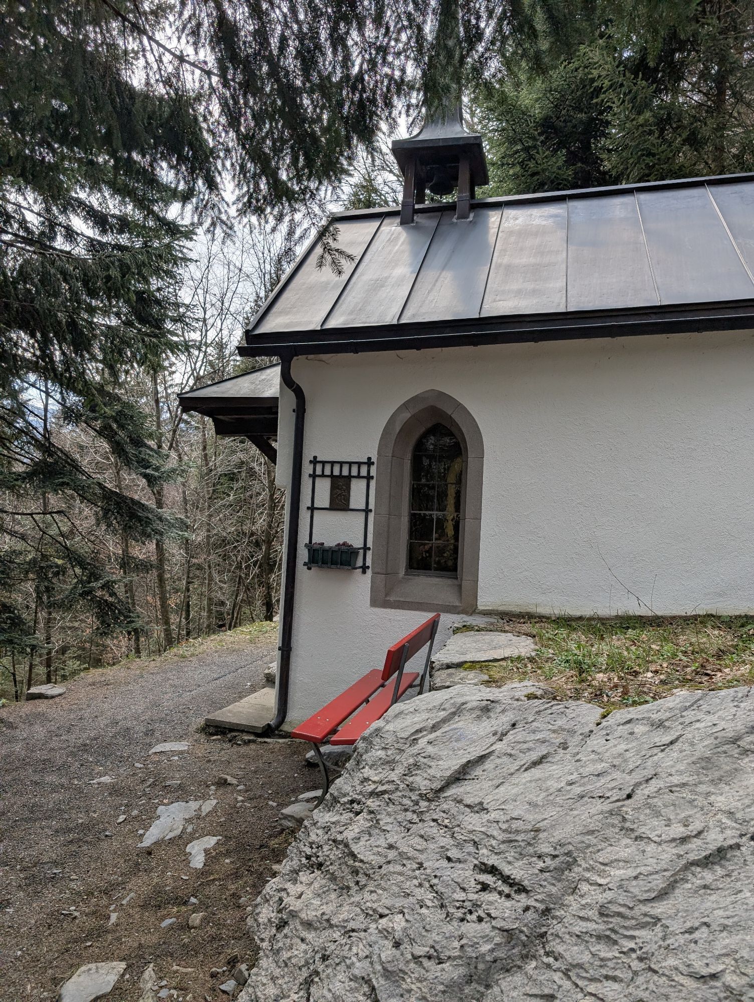
From Älpli, we continue our run over gentle meadows until we reach the mountain inn Gonzen. Here, a magnificent view of the Rhine Valley, the Principality of Liechtenstein, and the surrounding Bündner mountains awaits.
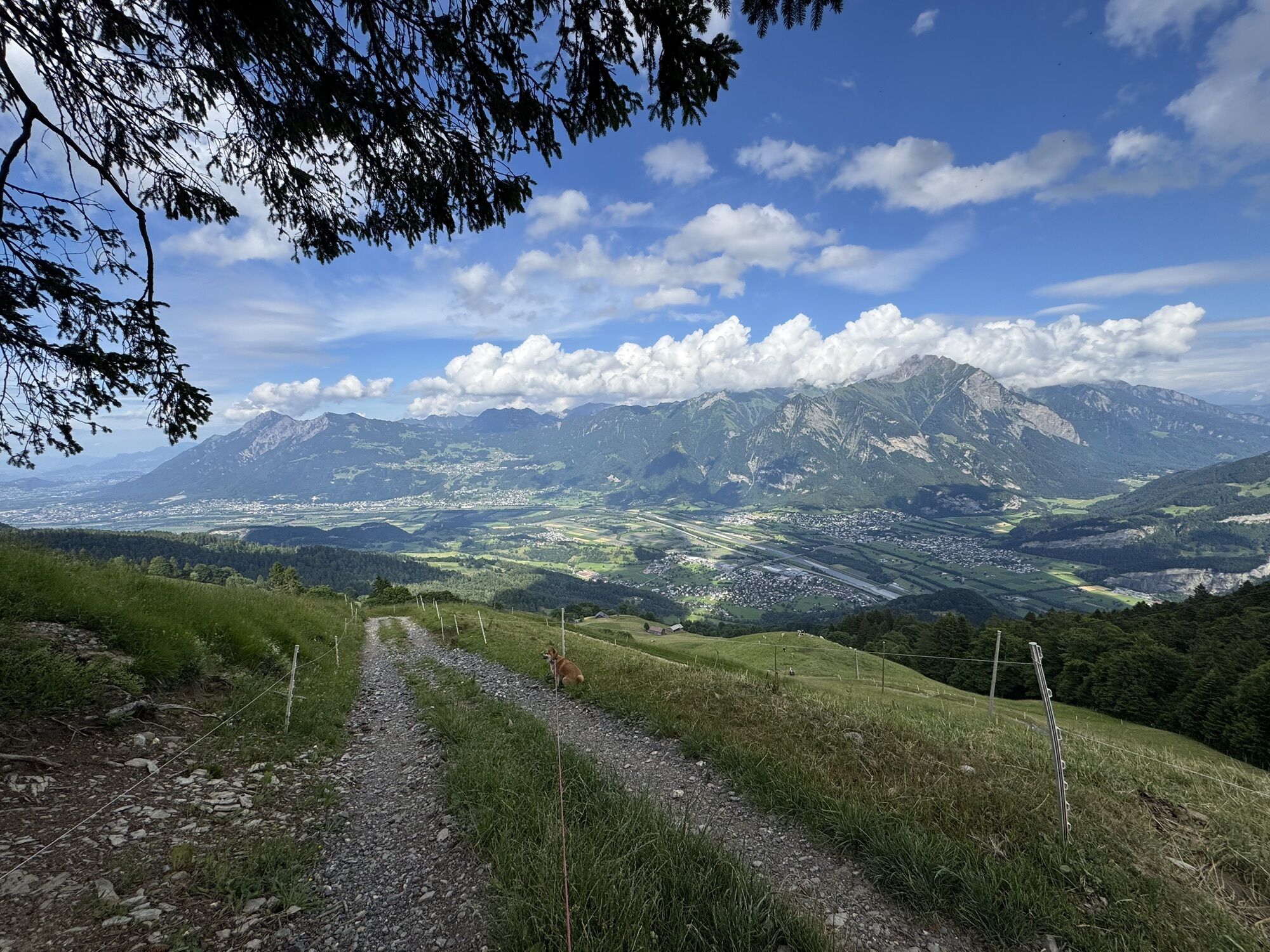
Well rested, we continue the run, passing the Rieter huts and the Alp Riet. From here, we proceed on the alpine road to the Chamm. Finally, we reach the Palfries mountain station, where the relaxed finale of the route begins. We admire the impressive view on the Palfries plateau before the cable car safely takes us back to the valley station – an ideal way to end the altitude meters without the strenuous descent.
Normal trail running gear (good trail shoes recommended), weather-appropriate and durable clothing in a layering system, if necessary telescopic poles, sun and rain protection. Carry enough food and drink (self-catering principle). Map and mobile phone with good reception.
Motorway exit Flums, then on the main road towards Sargans/Mels. The valley station of the Palfries cable car is located in Heiligkreuz on the left side of the road. The Palfries cable car is signposted.
By train to Flums or Sargans, then by bus to the Heiligkreuz Ragnatsch stop. Ride with the Palfries cable car.
Public parking at the valley station of the Palfries cable car available (paid)
T4
Palfries Cable Car
+41 81 599 43 79
www.seilbahn-palfries.ch
(Reservation required)
Heidiland Tourism
Information Office Bad Ragaz
T +41 81 300 40 20
www.heidiland.com
This trail running route is ideal for cross adventurers and ambitious trail runners who want to test their technique, strength, and endurance in alpine terrain. The demanding T4 route challenges our fitness and pushes us to our limits, while the cable car provides a relaxed return to the valley station.
Webové kamery z prehliadky
Obľúbené výlety v okolí
-
4,7
Riviera Lake Walen Walenstadt-Quinten
strednáTuristika 10,4 km -
4,6
To the summit cross of the Alpspitz
svetloTuristika 6,27 km -
4,6
5-Seen Wanderung am Pizol
svetloTuristika 10,1 km -
3,7
Fürstin-Gina-Weg
Turistika 10,7 km -
3,8
Sassweg - von Malbun zum Sass-Seelein
Turistika 4,14 km -
4,8
From Malbun to the Schönberg
strednáTuristika 12,4 km -
4,7
Tamina Gorge Circular Route
strednáTuristika 14,0 km -
4,6
Pizalun circular route
svetloTuristika 7,18 km -
4,7
Alvier
strednáTuristika 3,33 km -
4,6
4-Summit-Route Flumserberg
strednáTuristika 8,65 km
Turistika a stopovanie


Nenechajte si ujsť ponuky a inšpiráciu na ďalšiu dovolenku
Vaša e-mailová adresa bol pridaný do poštového zoznamu.