


From Lake Walen to Sargans Castle
From the town hall built in 1812, we ascend past the church to Dorfhalde. Time and again, we look back at the beauty of the Churfirsten with the Walenstadtberg. After the bridge, we descend and hike along...
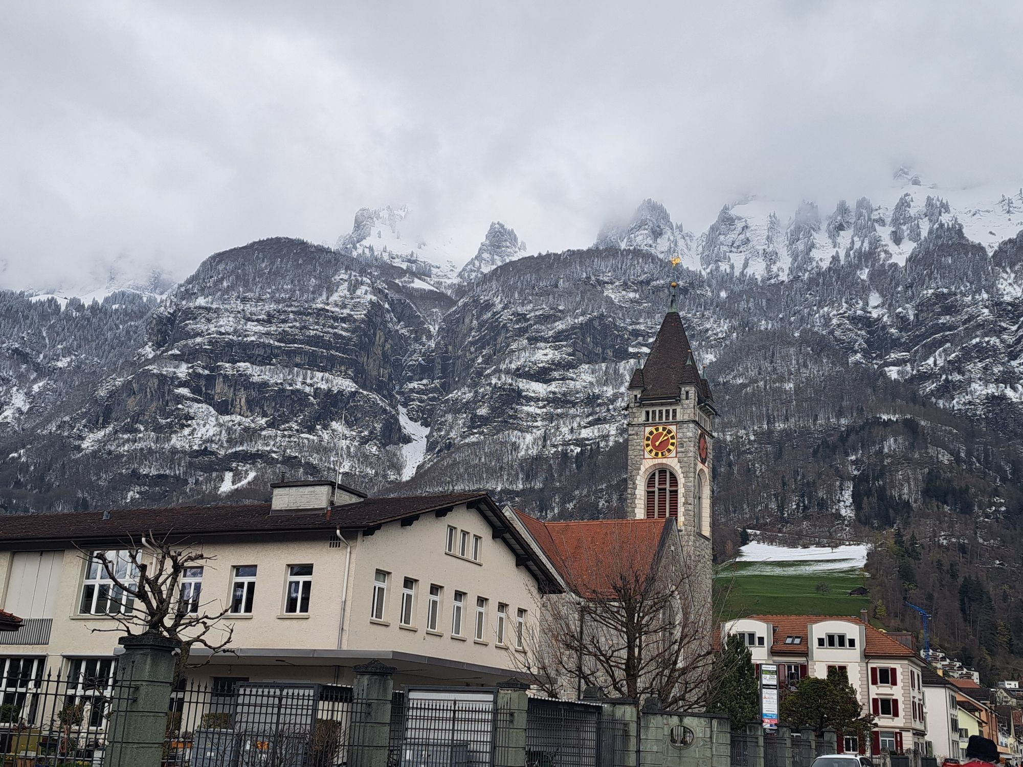
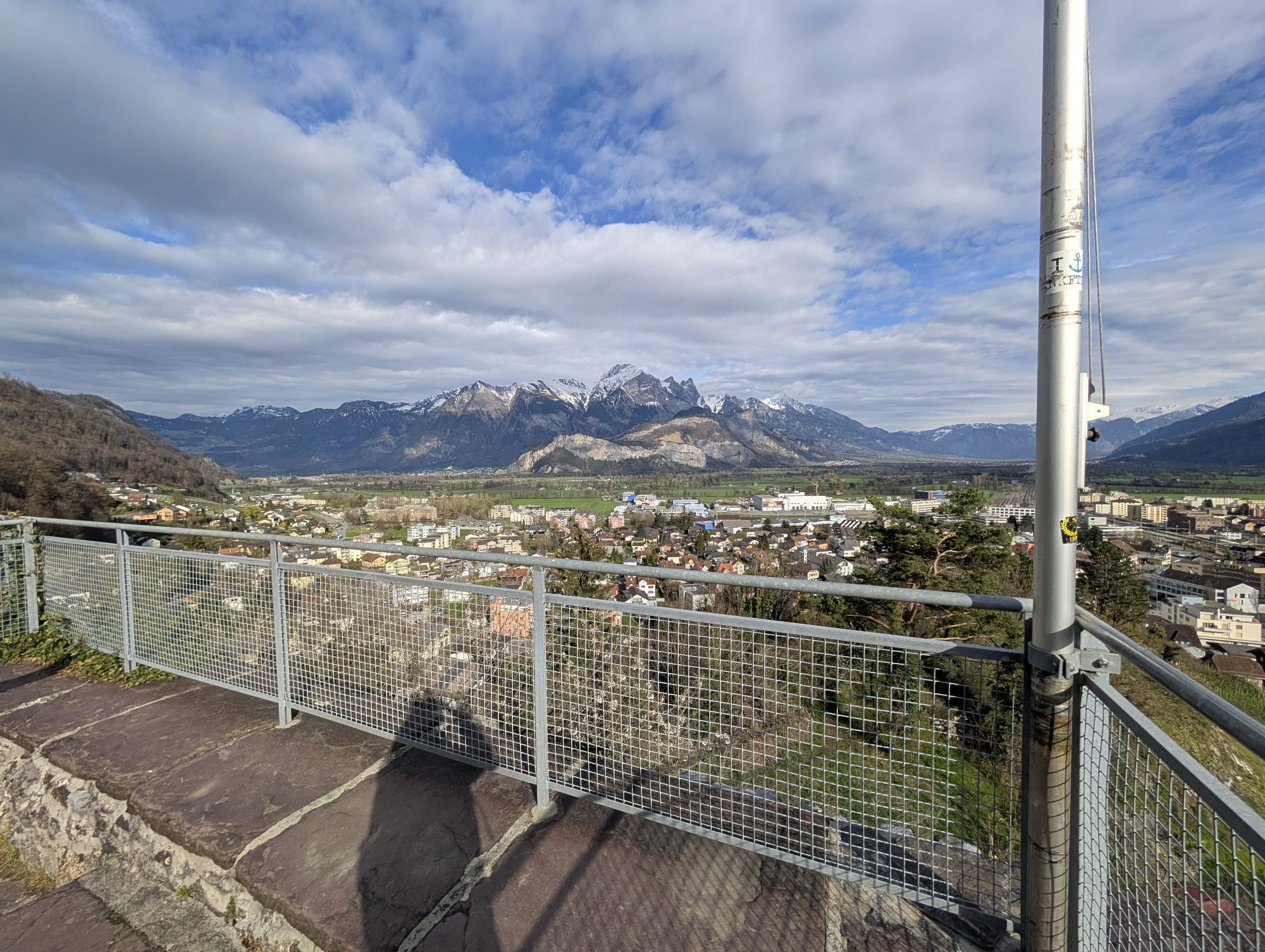
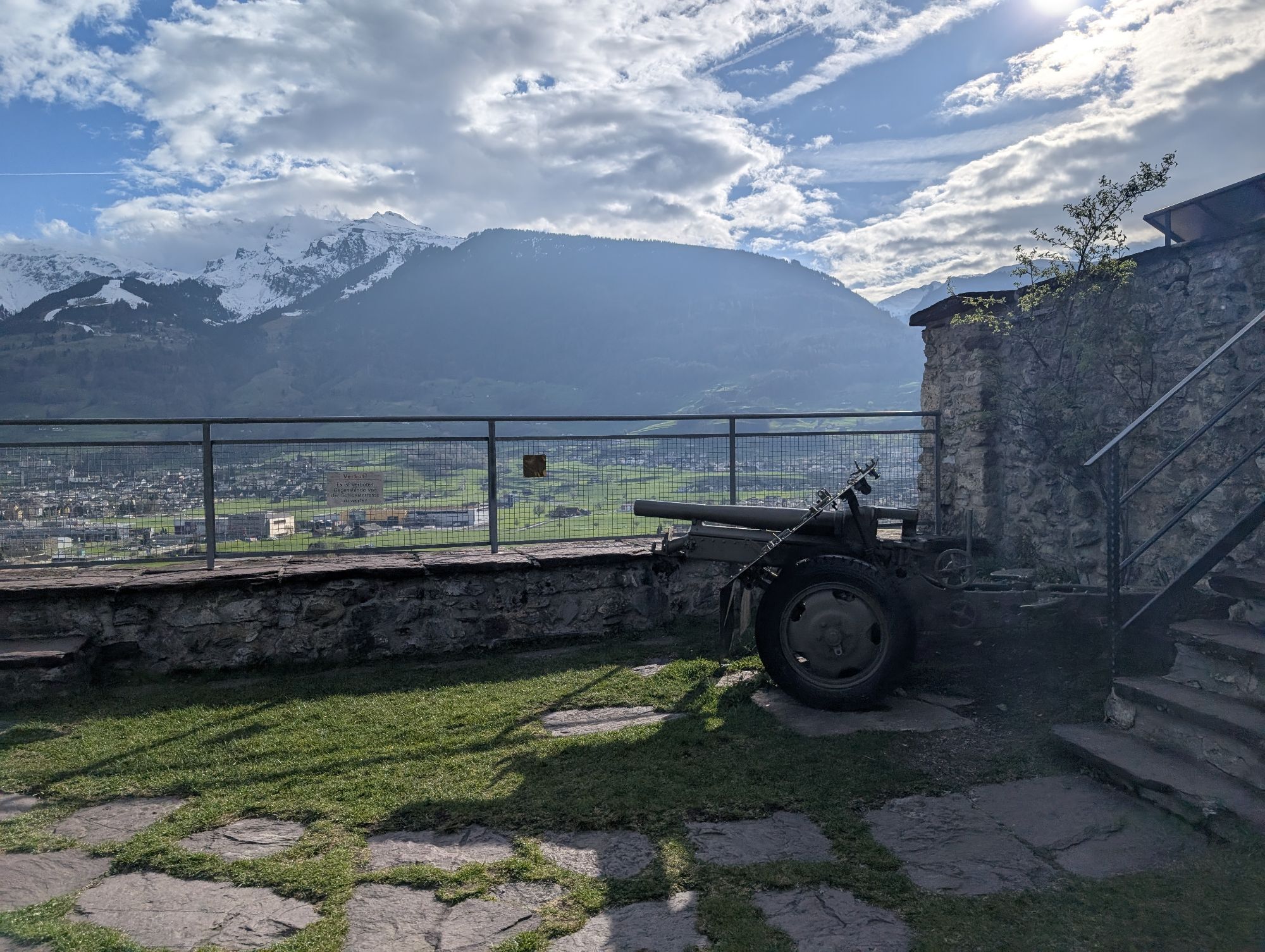
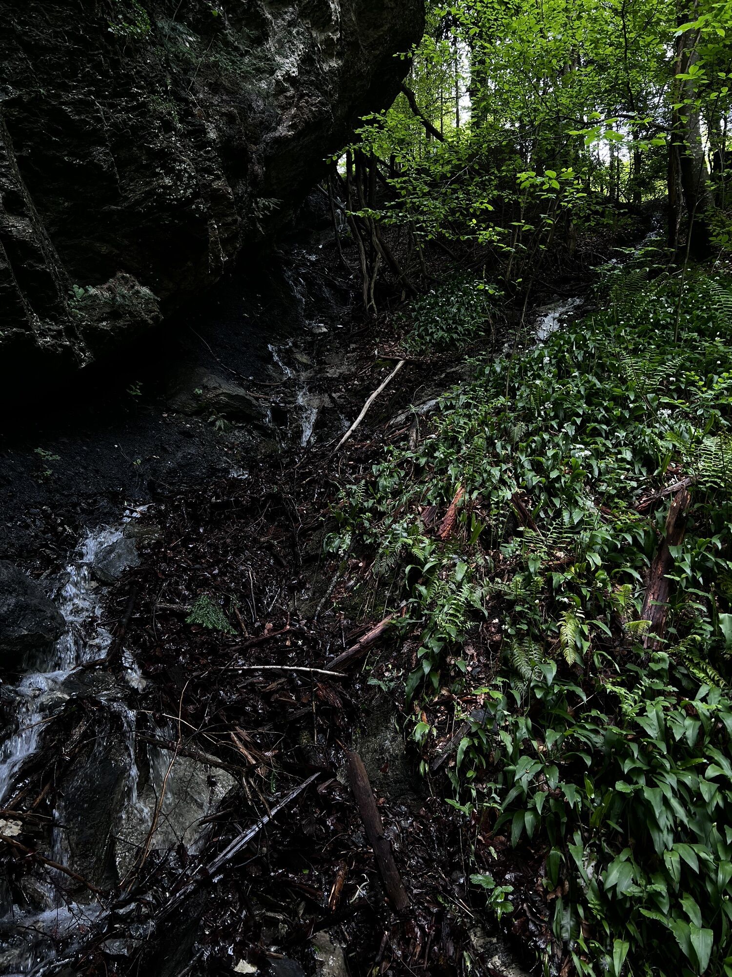
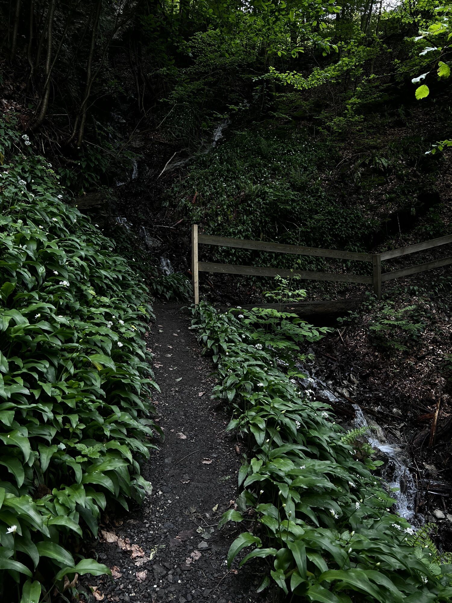
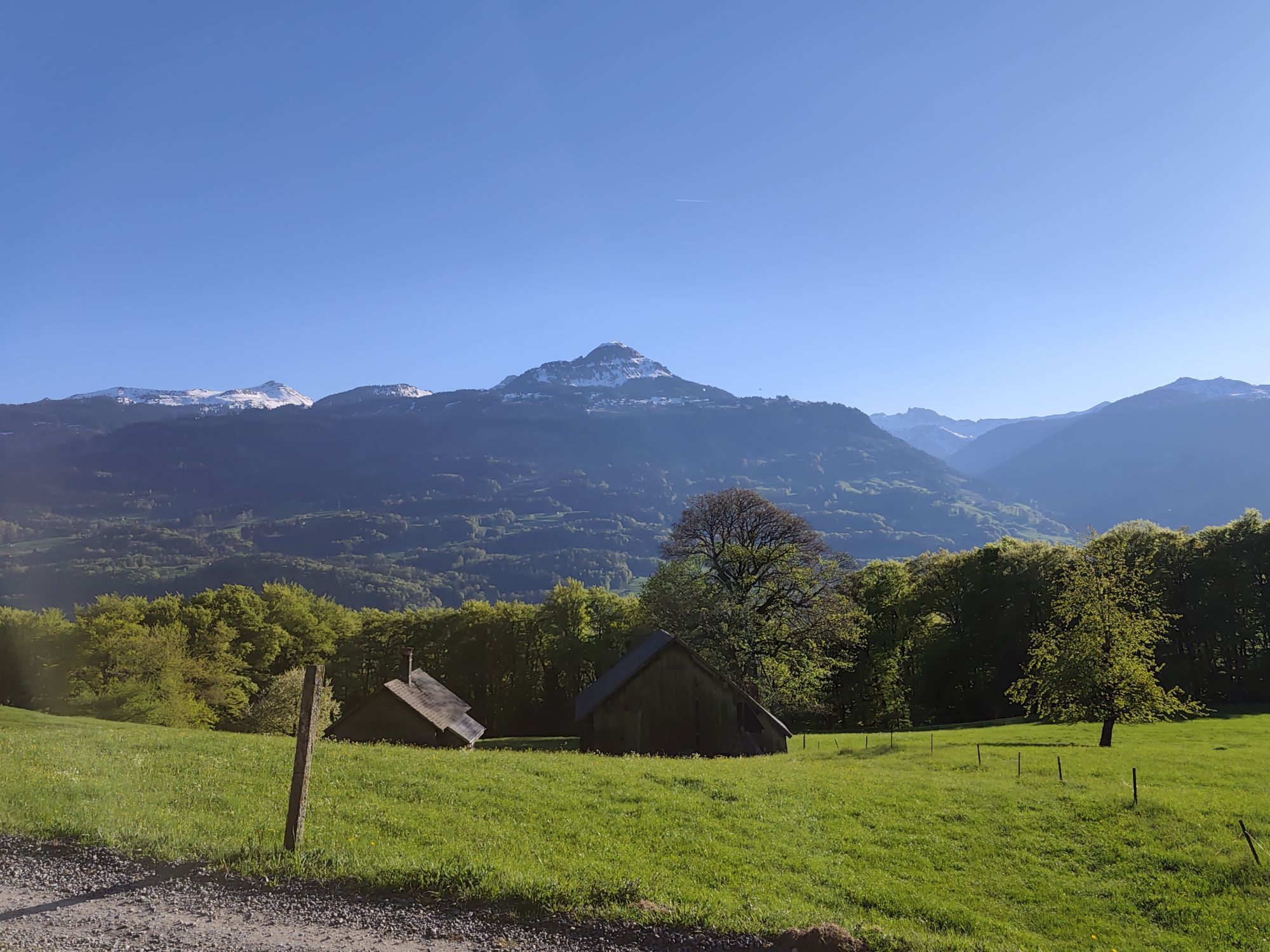
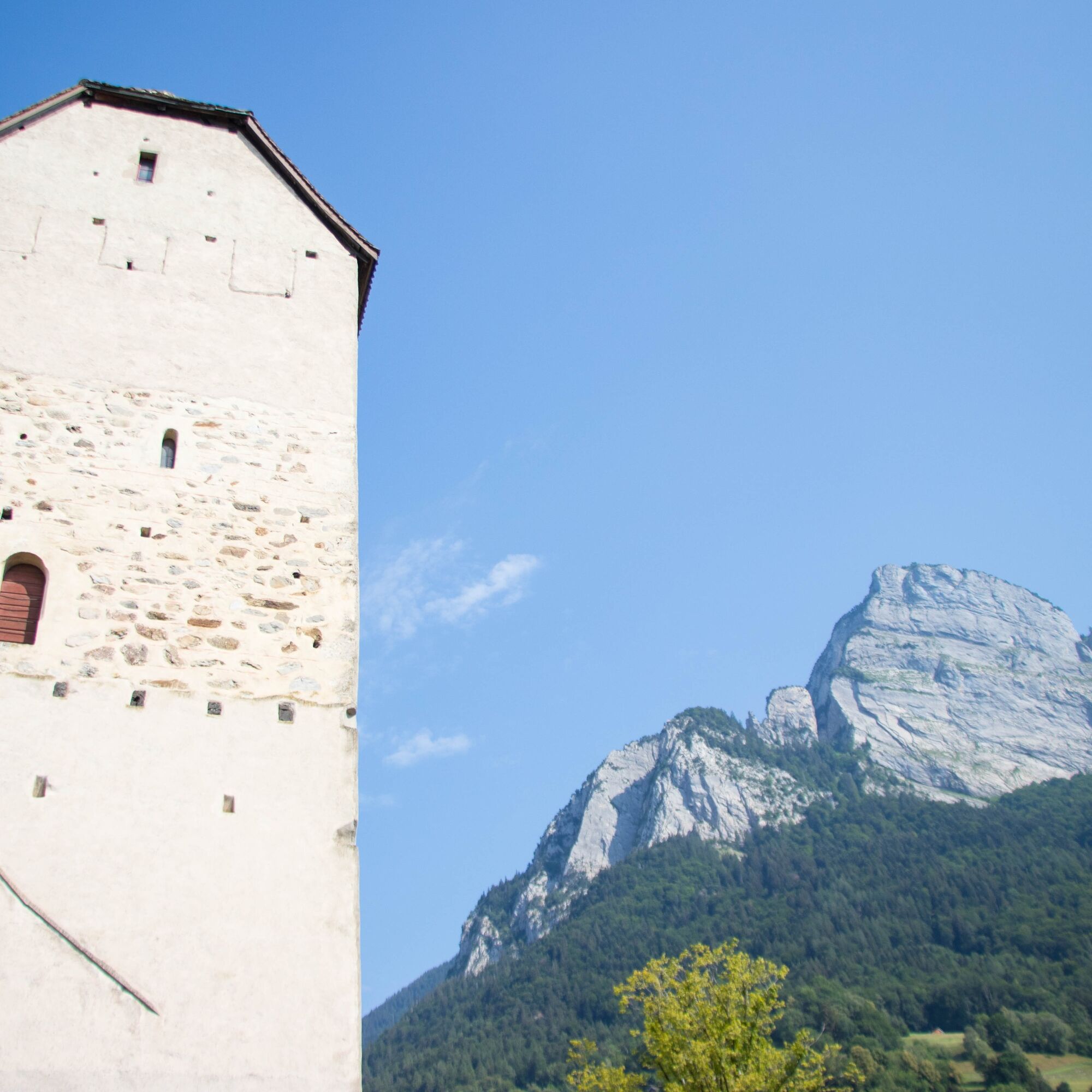
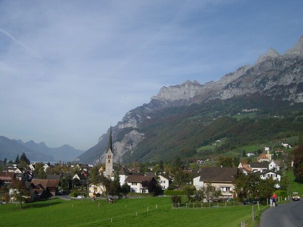
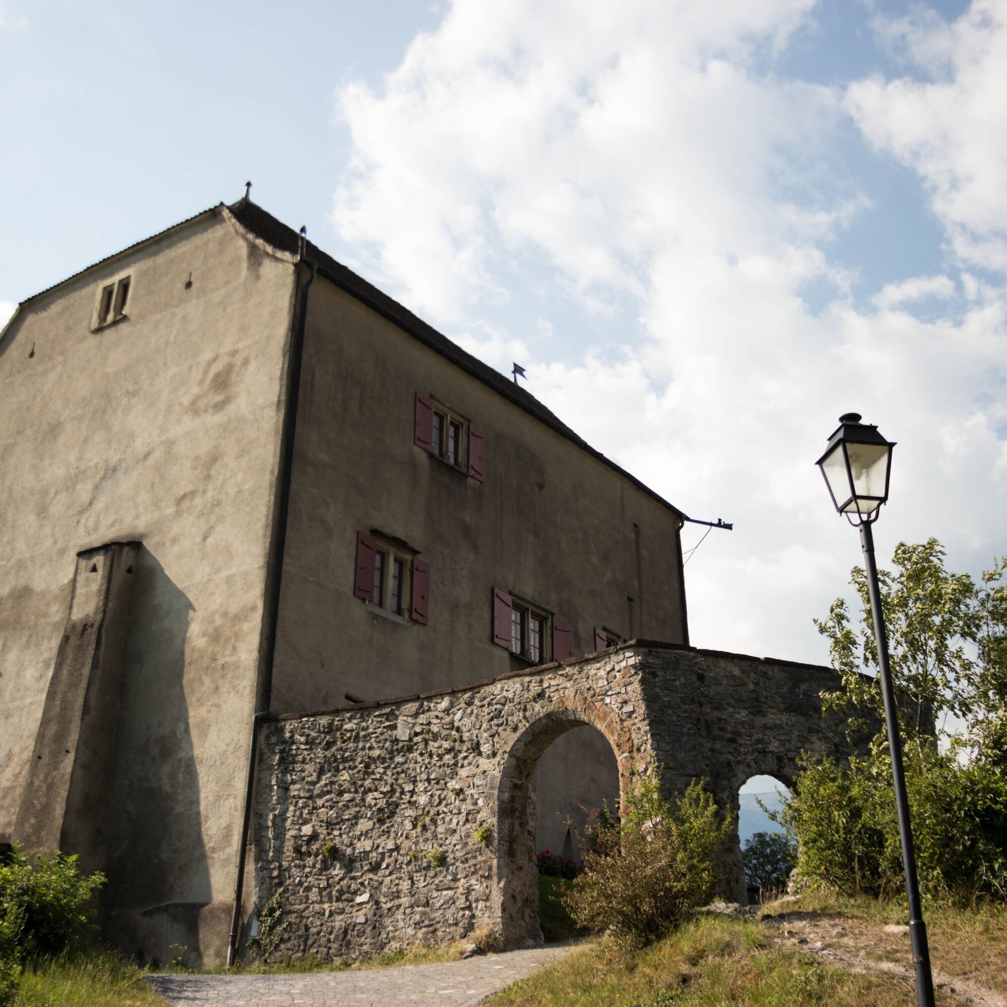
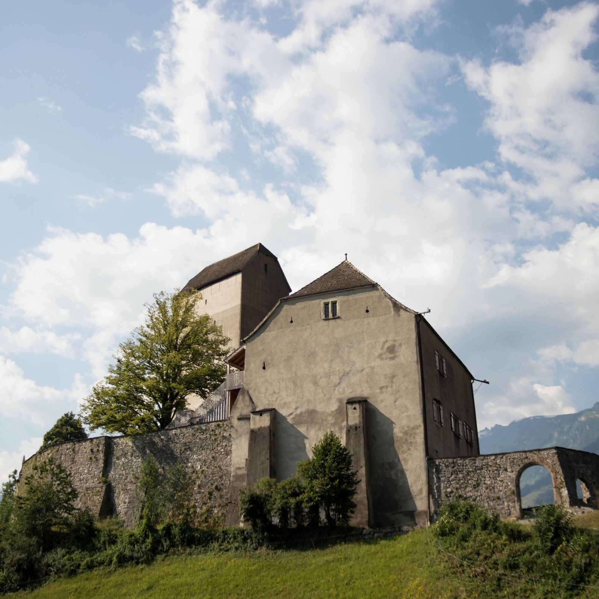
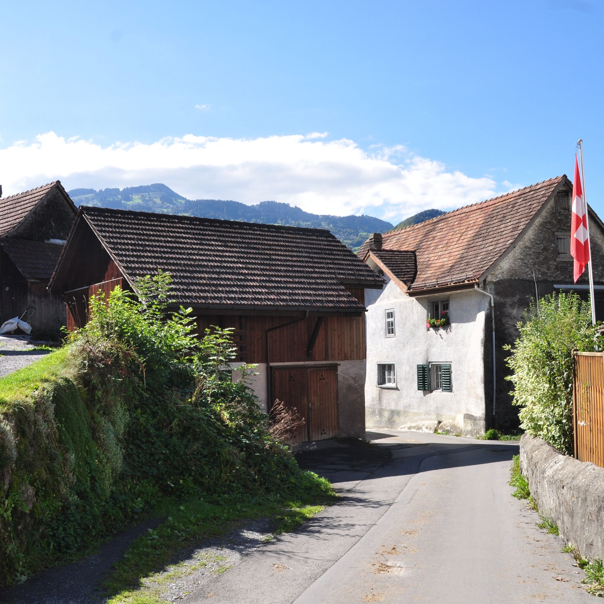
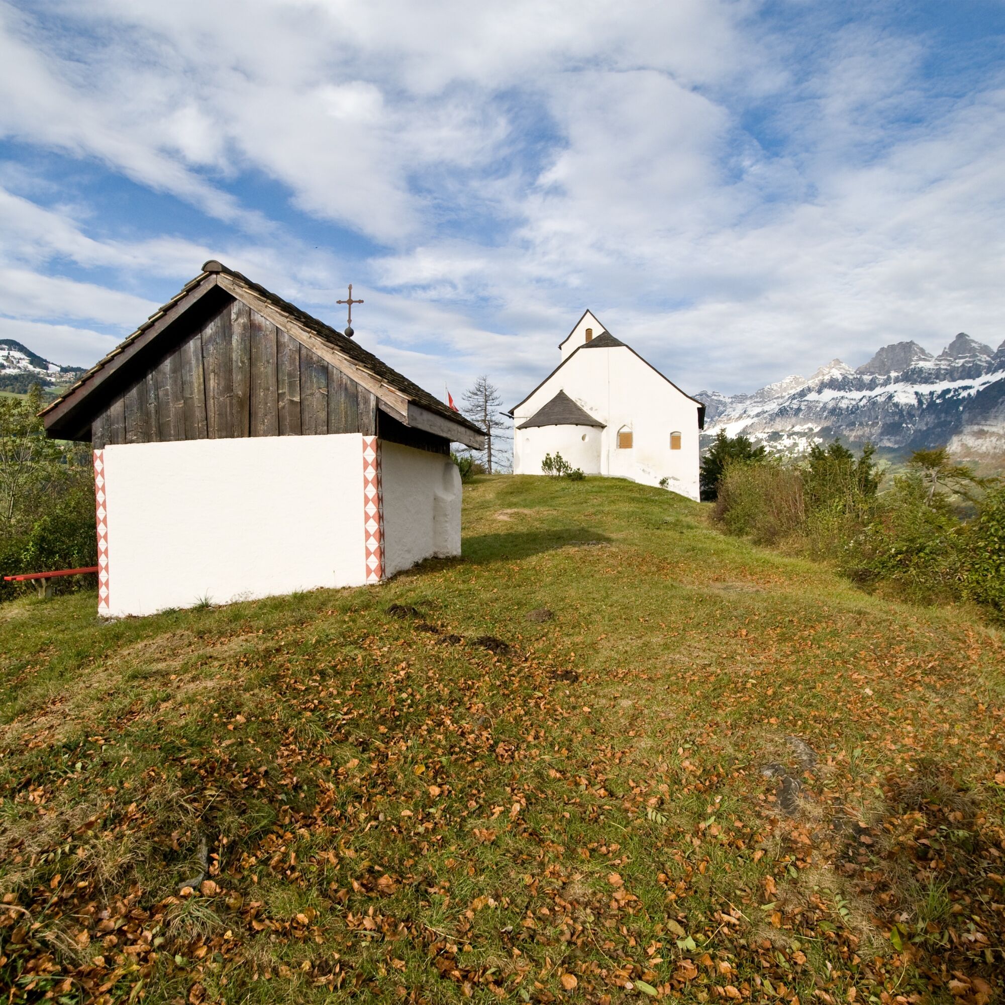
From the town hall built in 1812, we ascend past the church to Dorfhalde. Time and again, we look back at the beauty of the Churfirsten with the Walenstadtberg. After the bridge, we descend and hike along the field path to Tscherlach. At the mill, we cross the Tscherler Bach, ascend on the left, and reach Berschis via Brüsis - Gela, whose pointed church tower greets us from afar. Above it, on a rocky hill, stands the St. George Chapel, probably originating from an early medieval church fortress. It is considered the oldest chapel in Sarganserland. We hike above the village along the stream and enter the beech forest, where the path climbs steeply. To the left below, the wild Berschner Bach rushes. We follow the road along the forest edge, pass through Furggelswald, and arrive at Calspert-Valaschga. Again and again, we enjoy the magnificent view of Guscha and the spa area of Flumserberg. On flat terrain, we go to Langwisen, then steeply descend through the forest over Schreien-Bach to Gapöscha and Poli. We bypass the Hagerbach gravel trap and glimpse the summit of Gamidauerspitz, the outermost outpost of the Schwarzen Hörner. Before March, we reach the valley floor. We follow the path to Reschu near Heiligkreuz, a district of Mels. Above the vineyards at Heiligkreuzerhalde, where the famous Melser grows, we continue hiking into the Talid forest. Ahead of us, the Käsbissenturm of the church and the castle of Sargans greet us.

Walenstadt - Dorfhalden - Tscherlach - Brüsis - Berschis - Furggels - Valaschga - Langwisen - Poli - March - Ragnatscher Forest - Reschu - Heiligkreuz - Passati - Sargans
For this route, a light equipment is usually sufficient, but certain path sections can be wet and slippery after rainfall.
It is also recommended to bring enough water and a small hiking snack.
Since the path lies on the sunny side of the valley, it can generally also be walked in winter. However, it should be noted that in this season, shaded spots may have wet or slippery sections.
Motorway exit Flums, then continue on the main road to Walenstadt train station
The starting point in Walenstadt is well connected by train and bus.
Paid public parking is available at the starting point at Walenstadt train station (P+R) or also at the end point at Sargans train station.
Heidiland Tourismus AG, Flumserberg Information Point
T +41 81 720 18 18
www.heidiland.com
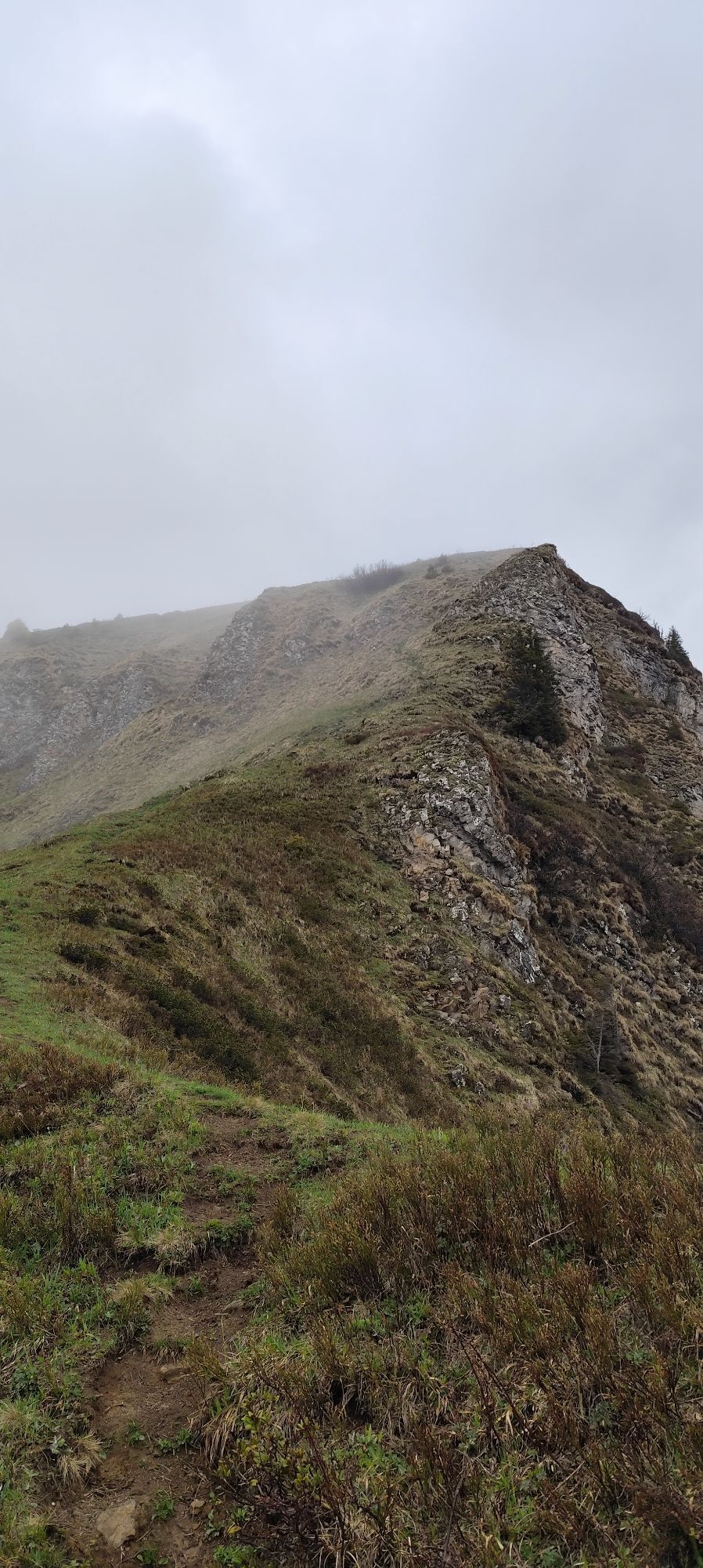
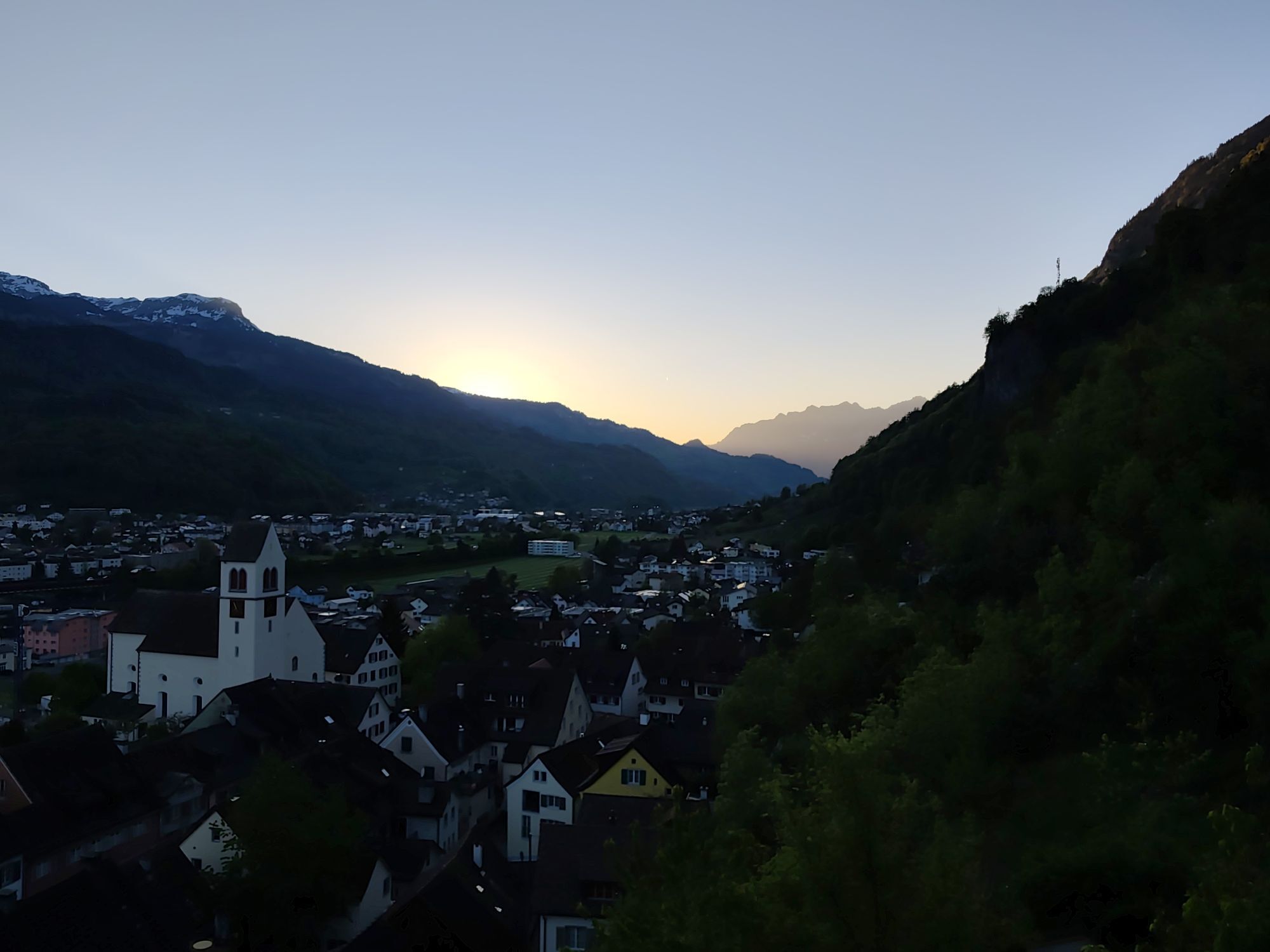
A detour to the St. George Chapel is worthwhile, as from up here you have a beautiful view of Walenstadt and Lake Walen.
Webové kamery z prehliadky
Obľúbené výlety v okolí
-
4,7
Riviera Lake Walen Walenstadt-Quinten
strednáTuristika 10,4 km -
4,6
To the summit cross of the Alpspitz
svetloTuristika 6,27 km -
3,7
5-Seen-Wanderung - DER KLASSIKER
ťažkéTuristika 9,70 km -
4,6
Tamina Gorge Circular Route
strednáTuristika 14,0 km -
4,7
Alvier
strednáTuristika 3,33 km -
4,6
4-Summit-Route Flumserberg
strednáTuristika 8,65 km -
5,0
Schrina Alp and Cultural Trail
strednáTematická trasa 11,5 km -
4,7
Quinten-Trail 453
strednáBeh 8,97 km -
4,0
Winter hike on the Rosenboden panoramic circular route
svetloZimná turistika 2,95 km -
4,7
Mädems Trail
strednáSnežnice 7,48 km

Turistika a stopovanie


Nenechajte si ujsť ponuky a inšpiráciu na ďalšiu dovolenku
Vaša e-mailová adresa bol pridaný do poštového zoznamu.