





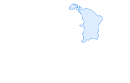
Hike from the mini-town Lichtensteig to the countryside

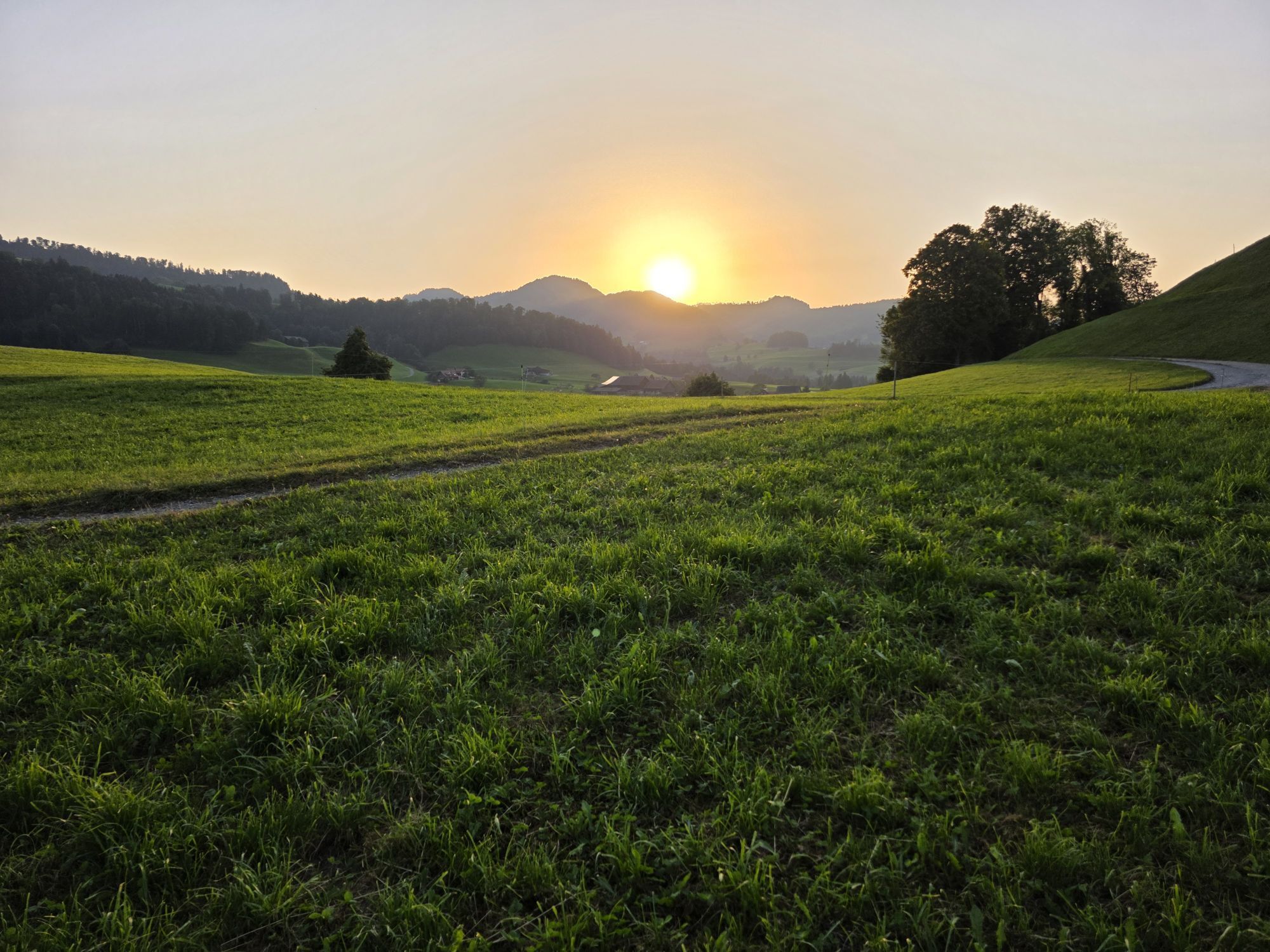
The circular hike starts at the train station Lichtensteig. On the first two kilometers, the path leads steadily uphill through forest and across meadows. The highest point is reached at Schwendi, then...
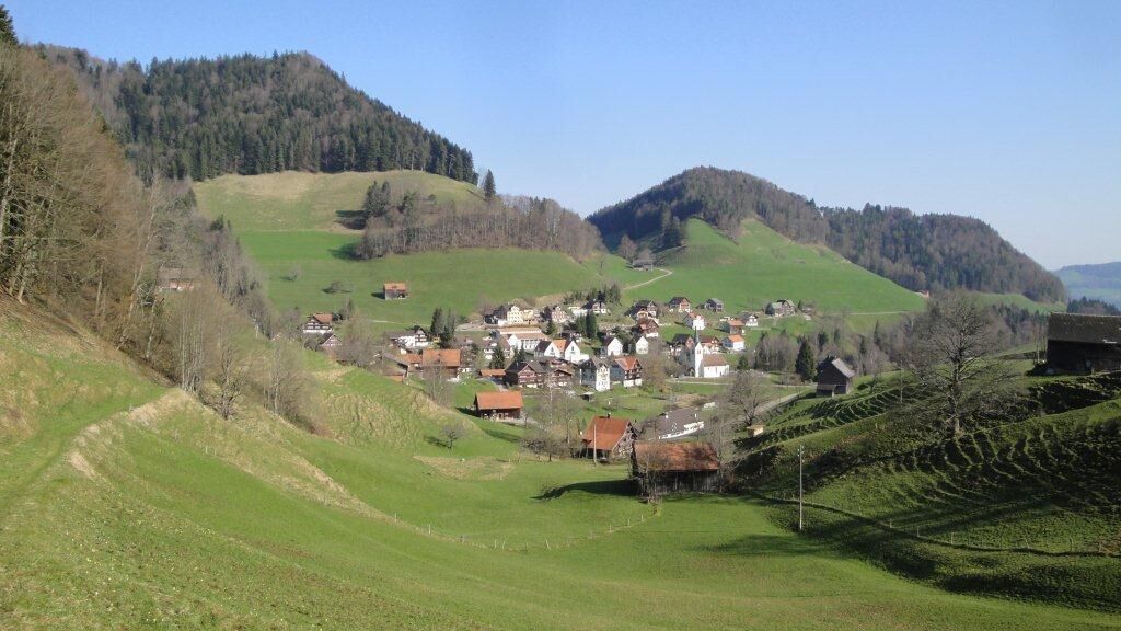
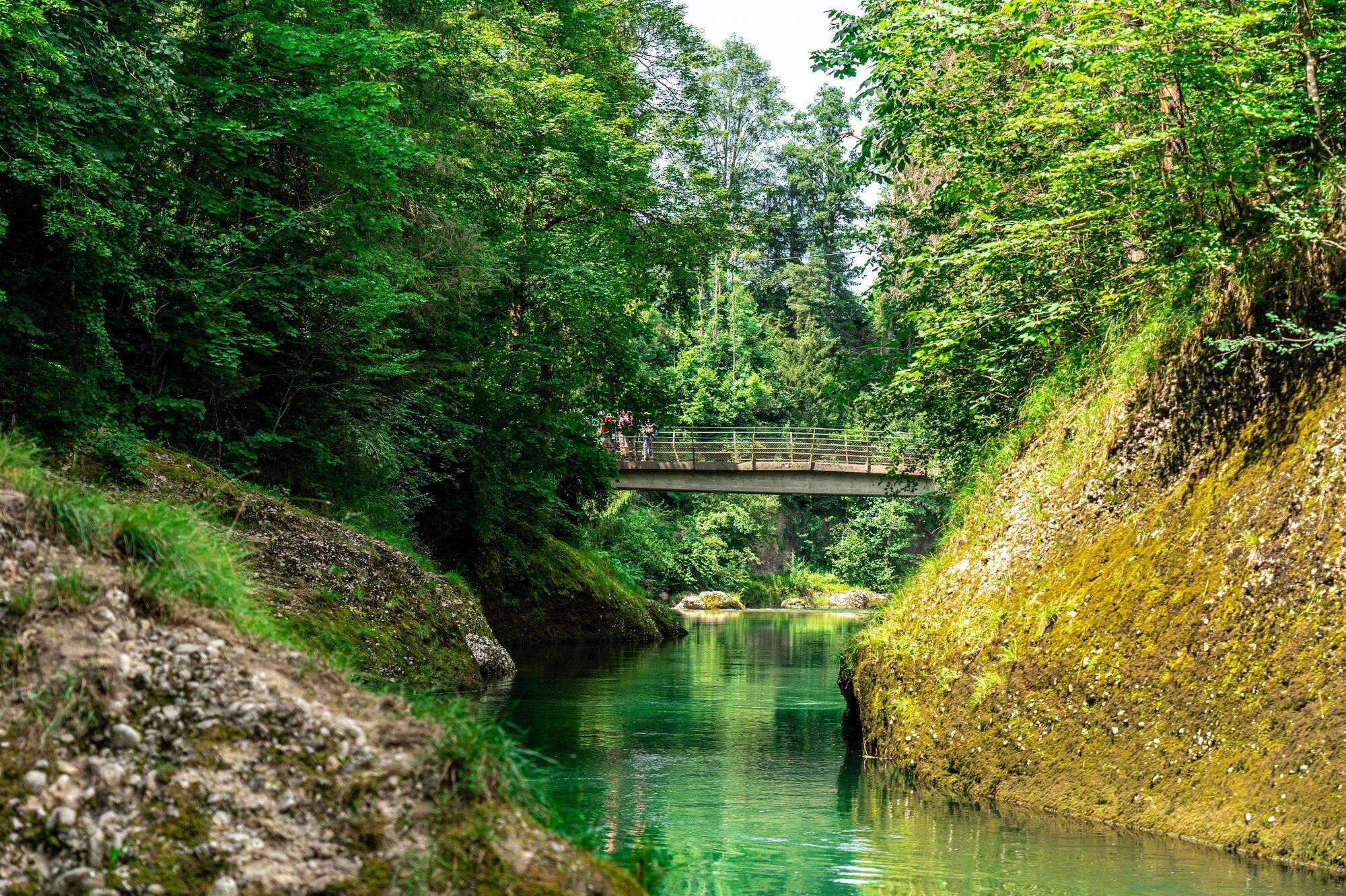
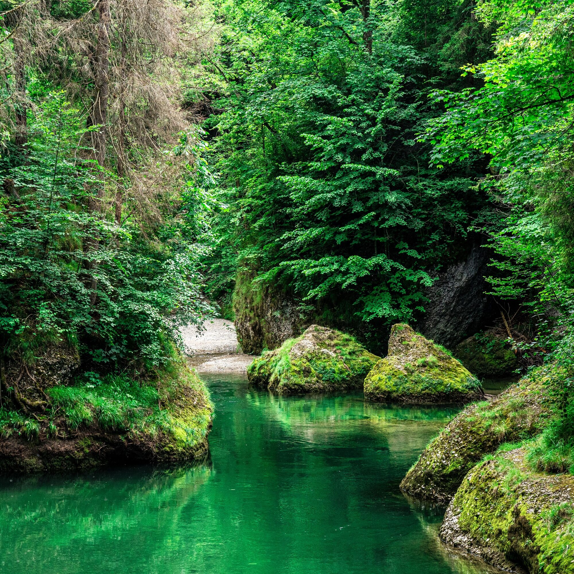
The circular hike starts at the train station Lichtensteig. On the first two kilometers, the path leads steadily uphill through forest and across meadows. The highest point is reached at Schwendi, then it goes down into the Toggenburg village of Krinau. Here you can admire some typical Toggenburg houses. The path then leads along an asphalt road and a wide trail up to Sedelberg. From here, it goes down to the small hamlet Kengelbach. Now it goes over meadows down to the Thur, which winds beautifully through the wild nature of the Aeulischlucht. Hidden gorges, fire pits, gravel banks, a waterfall, bathing spots, viewpoints, and woods where you can wonderfully play hide and seek invite you to take a longer break here. Then an asphalted path leads back to the train station Lichtensteig.
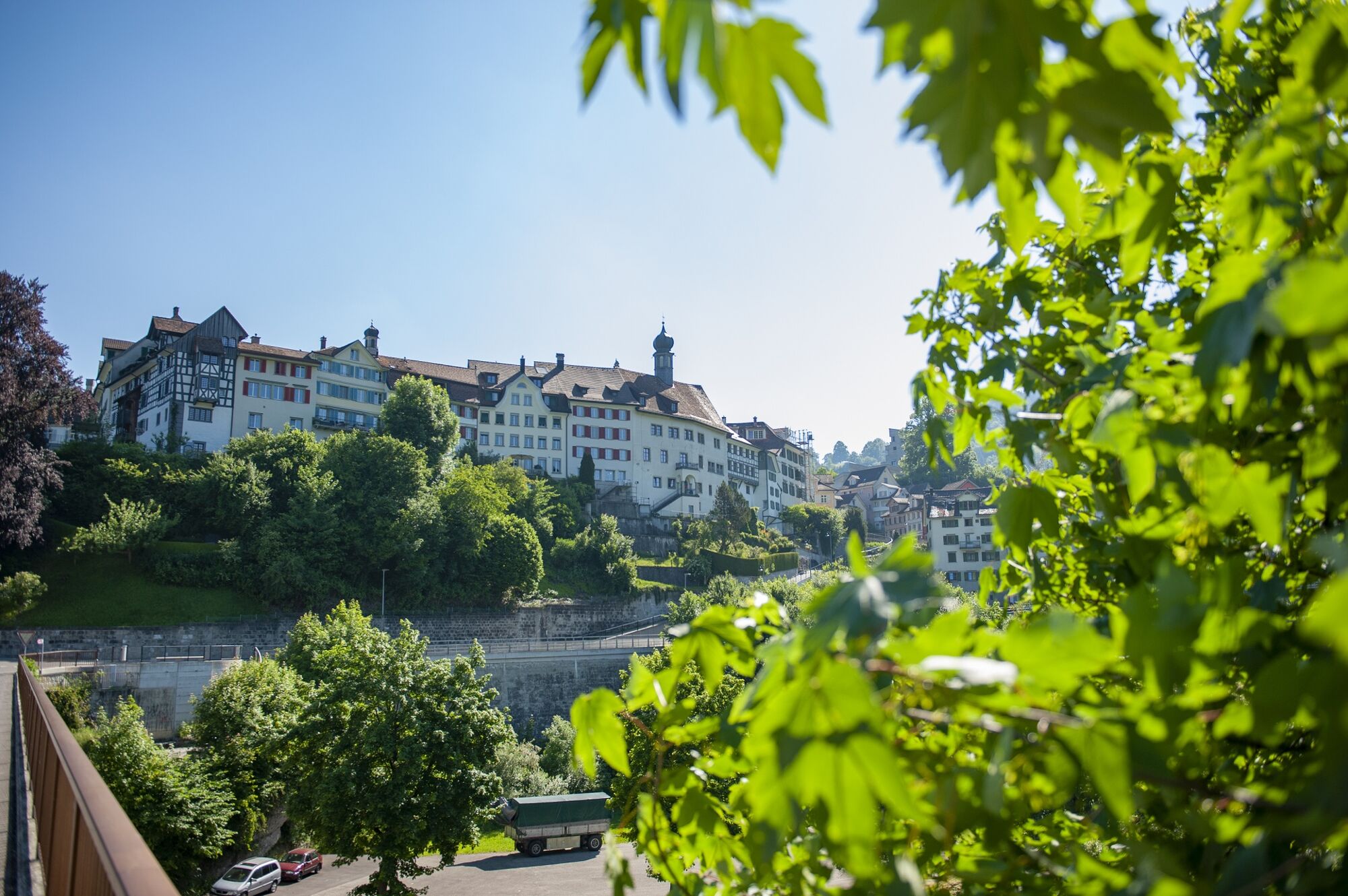

Train station Lichtensteig - Amtwis - Egeten - Untergrueben - Schwendi - Egg - Krinau - Sedelberg - Gubel - Kengelbach - Aeuli - Felsental - Gurtberg - Amtwis - train station Lichtensteig
Day hiking backpack (approx. 20 liters) with rain cover, sturdy and comfortable footwear, weather-appropriate and durable clothing in layers, possibly telescopic poles, sun and rain protection, provisions and drinking water, first aid kit, pocket knife, mobile phone, possibly headlamp, map material
The path is not specially signposted. Please follow the general yellow hiking signs.
- From the Zurich metropolitan area and Central Switzerland:
On the A3 at Reichenburg towards Rapperswil and then over the Ricken Pass to Wattwil, then via main road to Lichtensteig.
- From Eastern Switzerland:
Drive from St. Gallen on the A1 to Wil, take the Toggenburg exit. Follow the main road to Lichtensteig.
- From the southern German area:
Via Bregenz and St. Margrethen on the A13 to Haag and take the exit towards Toggenburg/Wildhaus. Or via Konstanz to Wil, then take the Toggenburg exit and follow the main road to Lichtensteig.
Start and finish: train station Lichtensteig
In the small town and at the train station Lichtensteig there are various paid parking options.
For more information see: https://www.lichtensteig.ch/verkehrsicherheit
Toggenburg Tourism
Hauptstrasse 104
CH-9658 Wildhaus
+41 (0)71 999 99 11
info@toggenburg.swiss
www.toggenburg.swiss
Plan enough time and enjoy a longer rest in the wild nature of the Aeulischlucht - a perfect place to recharge your energy.


Obľúbené výlety v okolí
-
4,2
Schnebelhorn Rundwanderung
strednáTuristika 11,9 km -
3,2
Winter hike at the Hulftegg
svetloZimná turistika 7,39 km -
4,5
Hulftenegg - Hörndli
svetloZimná turistika 6,98 km -
4,5
Hike from Ebnat-Kappel to Tanzboden
strednáTuristika 14,5 km -
Hike from Hemberg to the Ofenloch
strednáTuristika 10,9 km -
4,3
Steg-Schnebelhorn
strednáTuristika 17,9 km -
4,5
Bauma - Chlihörnli - Hörnli - Steg
strednáTuristika 10,3 km -
4,7
Hike at Hulftegg
svetloTuristika 7,42 km -
4,5
Hike from Ganterschwil to Bruedertöbeli
svetloTuristika 7,15 km -
4,7
Gratwanderung– Hagheerenloch Runde von Sternenberg
strednáTuristika 9,96 km
Turistika a stopovanie


Nenechajte si ujsť ponuky a inšpiráciu na ďalšiu dovolenku
Vaša e-mailová adresa bol pridaný do poštového zoznamu.





