







Hike above the roofs of Mosnang
The short hike starts and ends at the Gasthaus Krone in the middle of the village of Mosnang. Shortly after the start, you walk along the school and then follow the path up to Wisshusberg. From here it...
The short hike starts and ends at the Gasthaus Krone in the middle of the village of Mosnang. Shortly after the start, you walk along the school and then follow the path up to Wisshusberg. From here it continues on a flat high-altitude path along the forest edge. Along the way you can enjoy a beautiful view over Mosnang to the Alpstein and the Churfirsten. Various benches invite you to linger. Let your thoughts run free and enjoy the quiet atmosphere including the view. The descent back to the village follows several stairs between neighborhood streets.

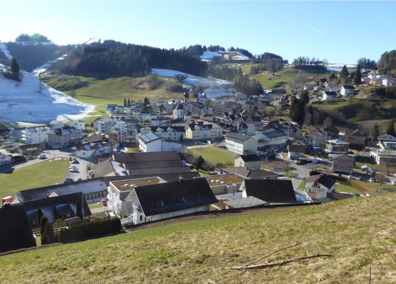
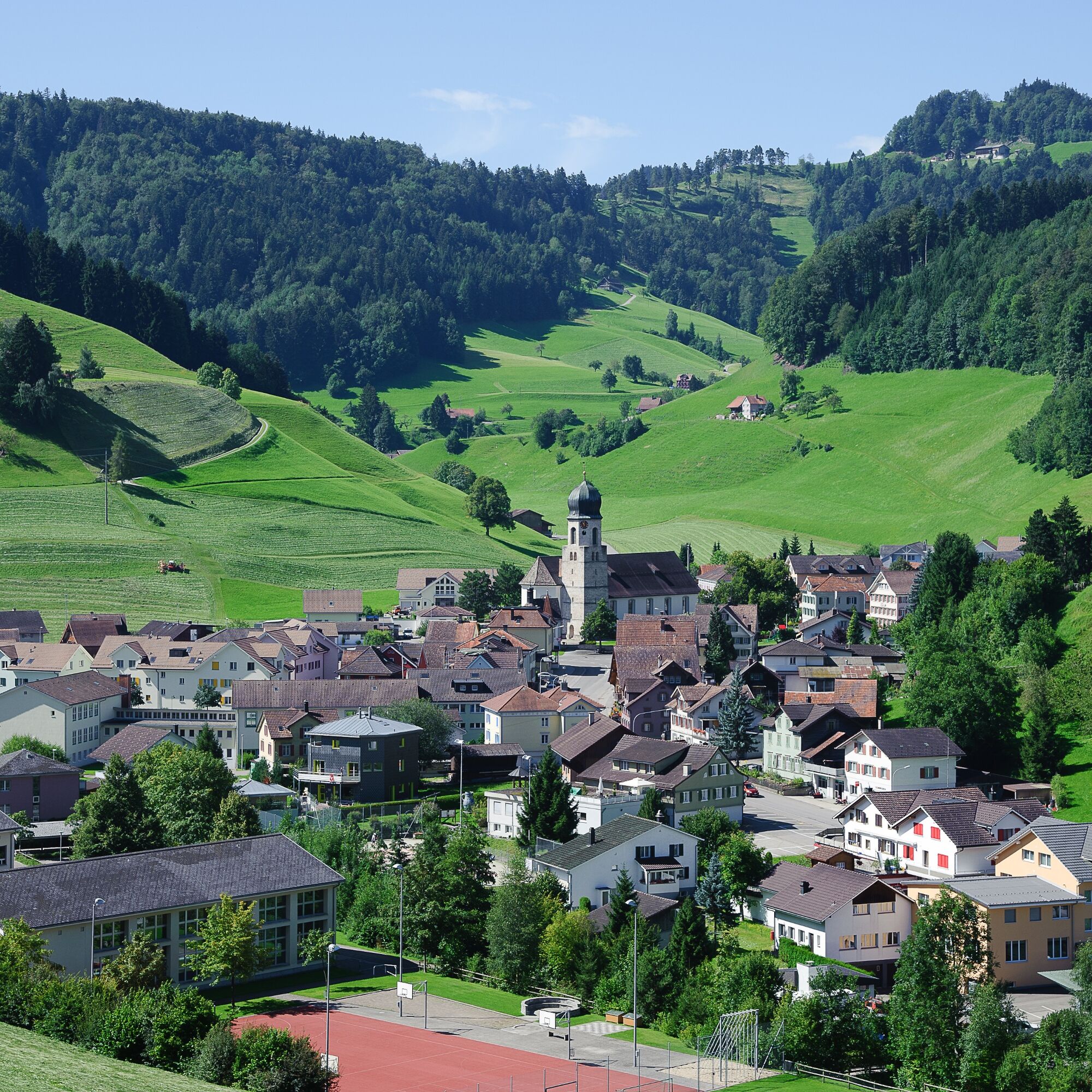

First towards the church, then stay left on Schulstrasse until the end. There again turn left and hike up Neuhofstrasse. At the red bench turn right onto the narrow path into the forest. In the forest, follow the forest path horizontally along the edge to the two benches with the best view of Mosnang and the long-distance view to the Alpstein. Then again turn right in the forest to the stairs leading down into the village.
Light day backpack (approx. 15 liters) with rain cover, comfortable footwear, weather-appropriate clothing, sun and rain protection, small snacks and drinking water, hiking map or corresponding app on the smartphone
The path is not specially signposted. Please follow the general hiking trail signs.
- From the greater Zurich area and central Switzerland:
On the A3 near Reichenburg towards Rapperswil and then over the Ricken Pass to Wattwil. Then on the main road to Bütschwil and from there onwards to Mosnang.
or via the A15 to Uster and then on the main road via Bauma and Steg over the Hulftegg to Mosnang.
- From eastern Switzerland:
From St. Gallen drive on the A1 to Wil, take the Bütschwil exit. Follow the main road to Mosnang.
- From southern Germany:
Via Bregenz and St. Margrethen on the A13 to Haag and take the exit towards Toggenburg/Wildhaus and drive via Wattwil to Bütschwil and Mosnang. Or via Konstanz to Wil, then take the Toggenburg exit and follow the main road to Bütschwil and then Mosnang.
Start and finish: Mosnang, village
By train to Bütschwil (either via Wil or Wattwil), then by bus to Mosnang
Toggenburg Tourism
Hauptstrasse 104
CH-9658 Wildhaus
Tel: +41 (0)71 999 99 11
info@toggenburg.swiss
www.toggenburg.swiss
You shouldn't miss the fine coupe on the terrace of the Krone Mosnang.
Obľúbené výlety v okolí
-
4,3
Schnebelhorn Rundwanderung
strednáTuristika 11,9 km -
3,2
Winter hike at the Hulftegg
svetloZimná turistika 7,39 km -
4,5
Hulftenegg - Hörndli
svetloZimná turistika 6,98 km -
4,3
Steg-Schnebelhorn
strednáTuristika 17,9 km -
4,5
Bauma - Chlihörnli - Hörnli - Steg
strednáTuristika 10,3 km -
4,7
Hike at Hulftegg
svetloTuristika 7,42 km -
4,7
Gratwanderung– Hagheerenloch Runde von Sternenberg
strednáTuristika 9,96 km -
4,5
Hike from Ganterschwil to Bruedertöbeli
svetloTuristika 7,15 km -
4,0
Ski route to Tanzboden
strednáSkitour 6,89 km -
4,8
Bahnhof - Hüttchopf - Scheidegg - Wald ZH
strednáTuristika 12,8 km
Turistika a stopovanie


Nenechajte si ujsť ponuky a inšpiráciu na ďalšiu dovolenku
Vaša e-mailová adresa bol pridaný do poštového zoznamu.





