


Bettlerweg
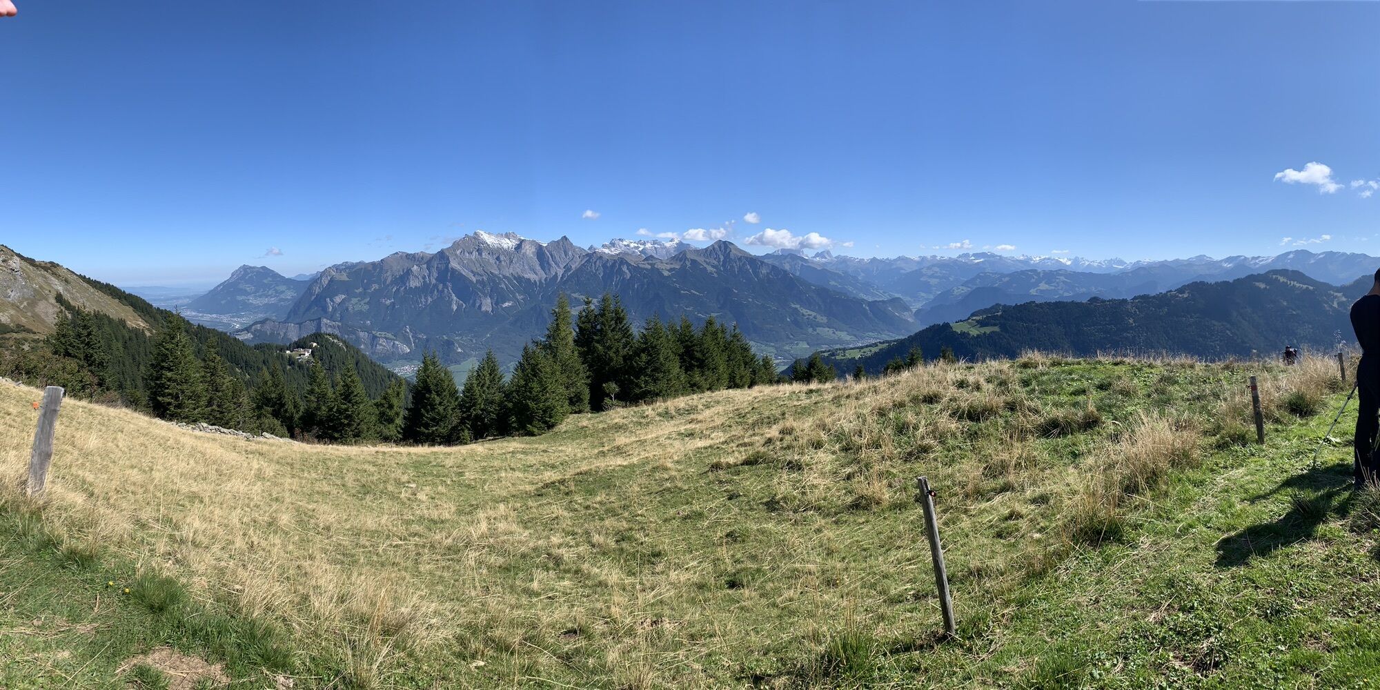
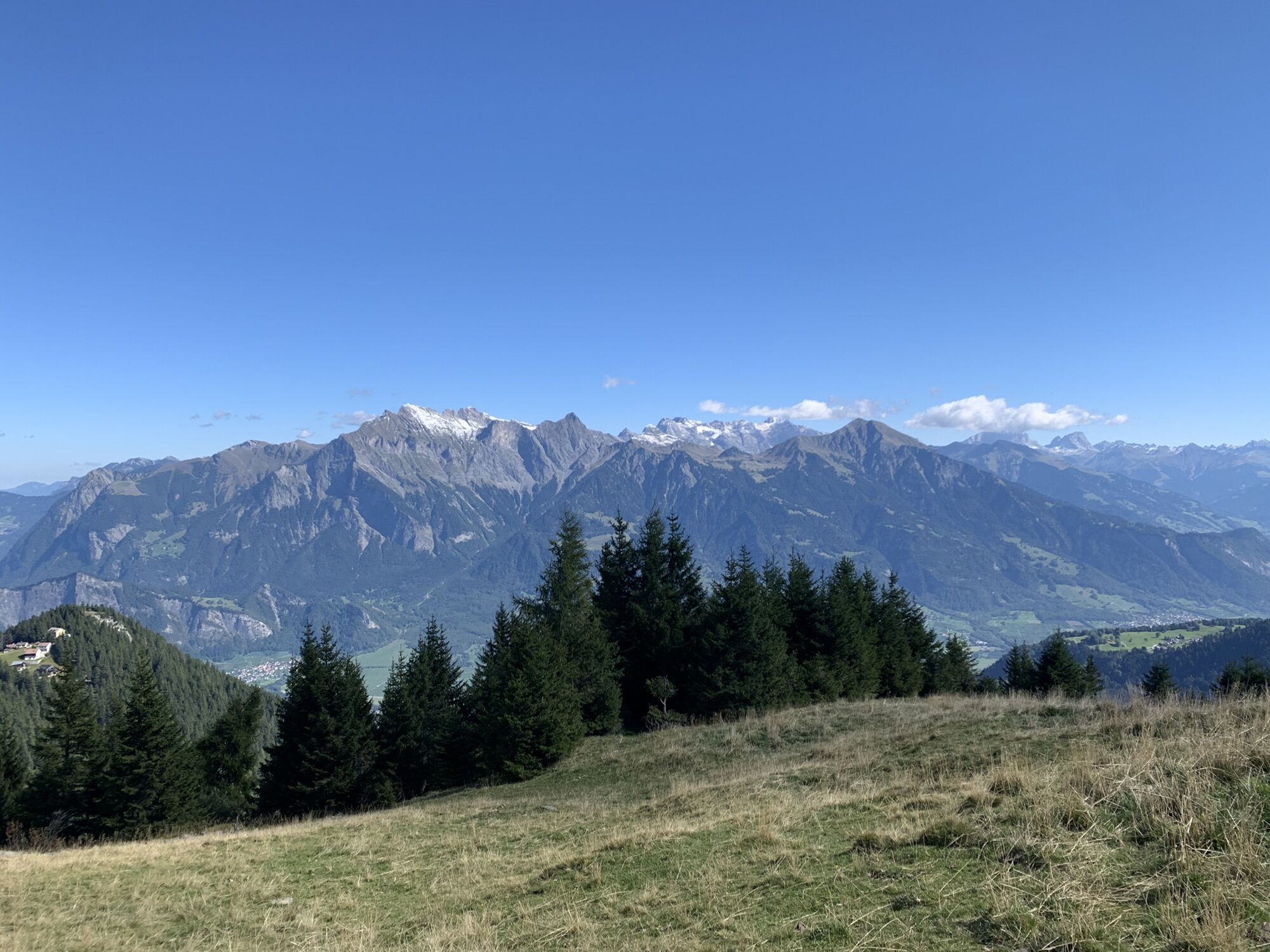
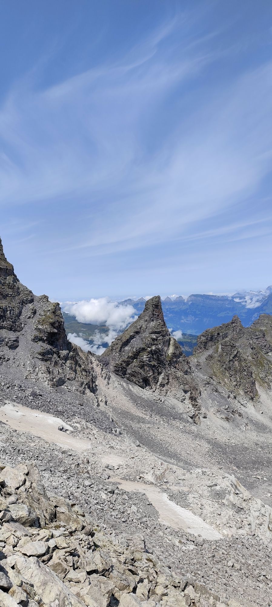
The hike from Valens downstream towards Wildboden offers the most beautiful view of the Bündner Herrschaft. It goes steeply uphill through the forest to Pardiel, where the breathtaking view into the Rhine...
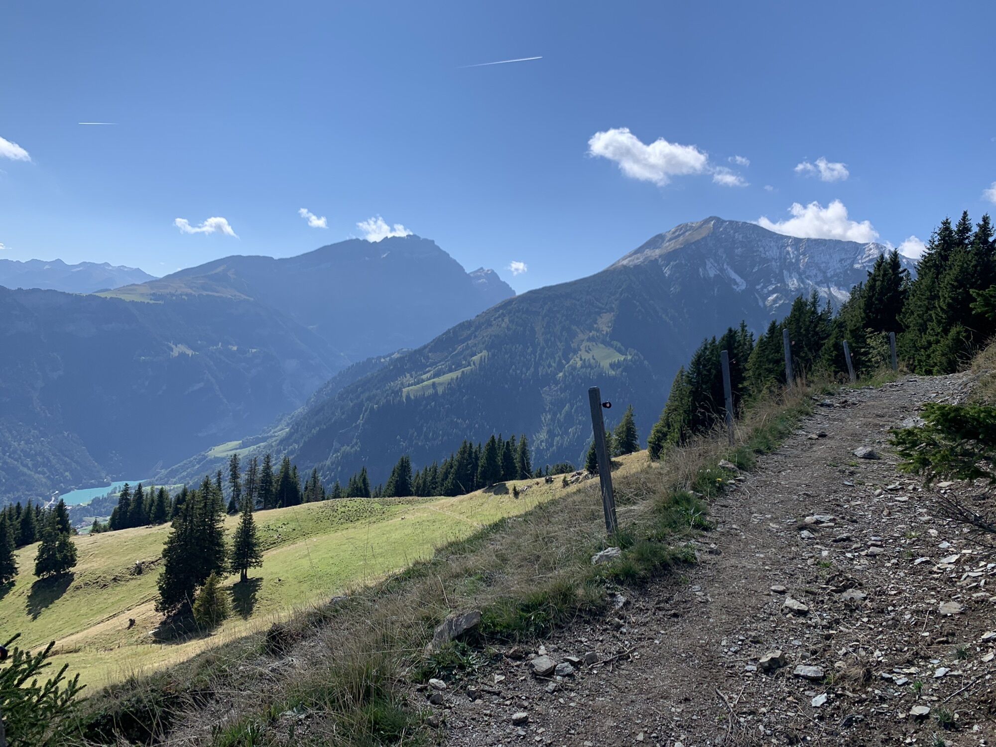
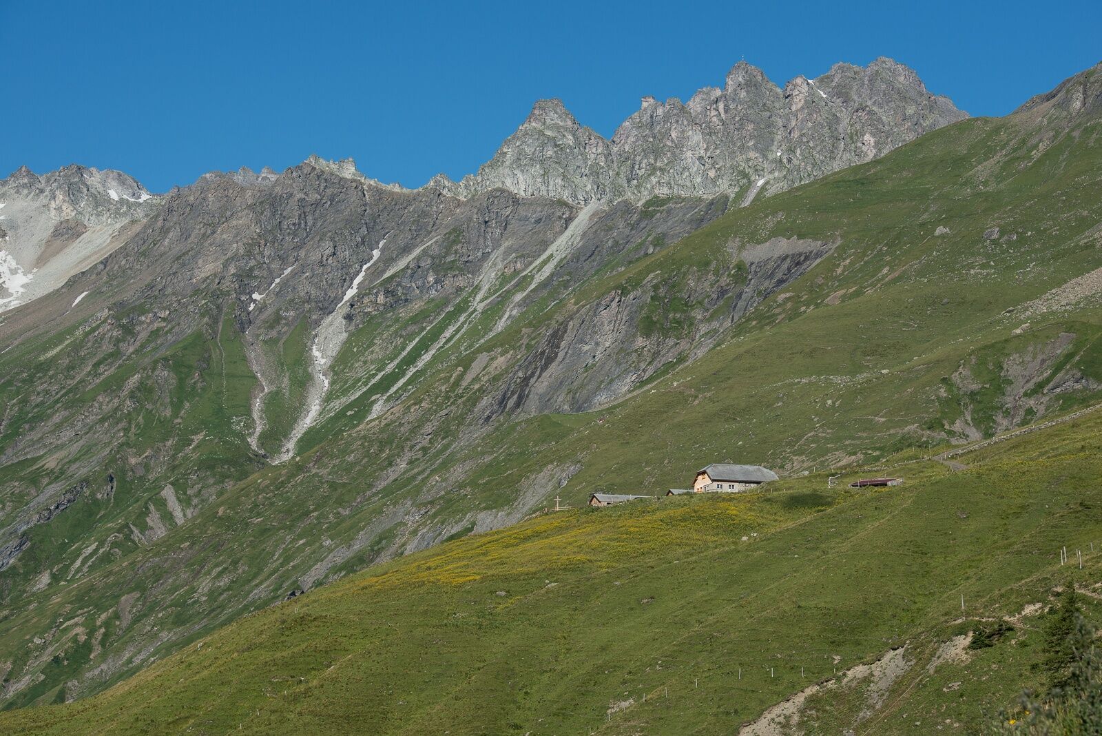
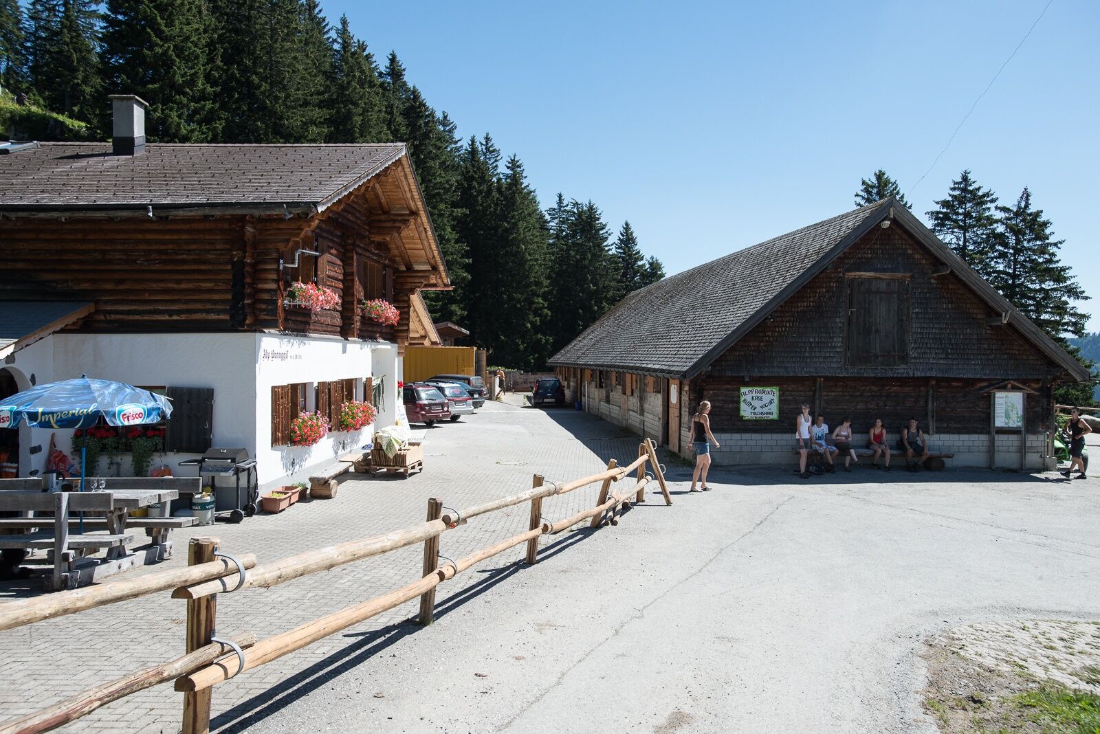
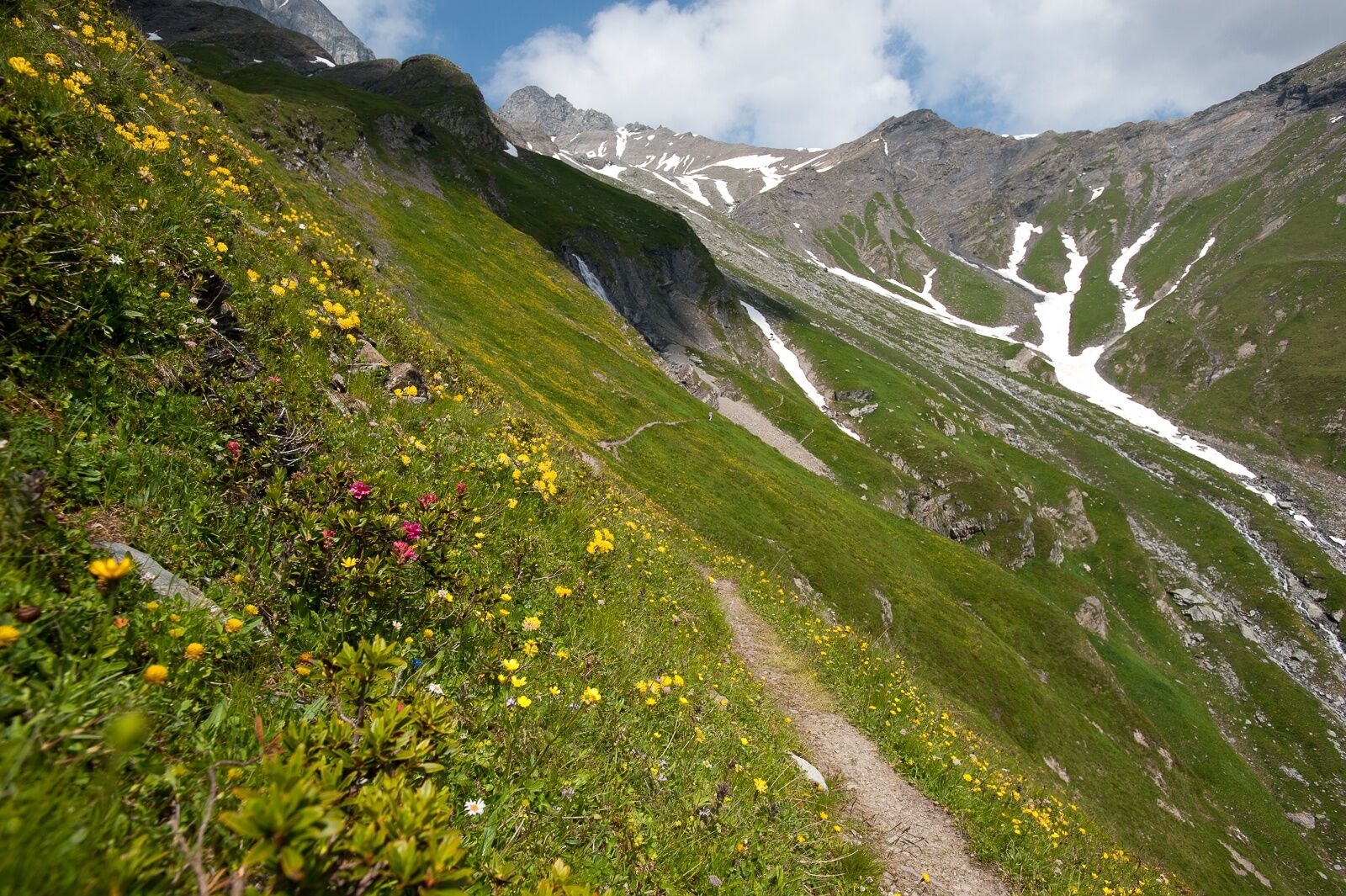
The hike from Valens downstream towards Wildboden offers the most beautiful view of the Bündner Herrschaft. It goes steeply uphill through the forest to Pardiel, where the breathtaking view into the Rhine Valley rewards the ascent. Via the famous Bettlerweg, hikers get closer step by step to Alp Tristeli. The descent into the Tamina Valley leads via Alp Branggis and through mountain meadows back to Valens.

Valens – Gassaura – Sergeuris - Wildboden – Pardiel – Bettlerweg – Tristeli – Branggis – Valens
Normal hiking equipment, sturdy mountain boots.
Depending on the weather, some sections can be very slippery.
You will occasionally encounter the highway on the way, so special caution is required.
Take the Bad Ragaz motorway exit, then drive on the mountain road towards Pfäfers/Valens to Valens.
By train to Bad Ragaz, then by postbus to Valens.
Parking spaces can be found at the clinic.
Heidiland Tourism, Bad Ragaz Information Office
T +41 81 300 40 20
www.heidiland.com
After the hike, you can relax with a visit to the thermal pool of the Valens Clinic.
Webové kamery z prehliadky
-
Laufböden
-
Furt - Wangs Bergstation
-
Furt - Wangs Bergstation
-
Furt - Wangs Bergstation
-
Furt - Wangs Bergstation
-
Furt - Wangs Bergstation
-
Furt - Wangs Bergstation
-
Pardiel
-
Gaffia
-
Pizolhütte
-
Furt - Wangs Bergstation
-
Bergstation Vättnerberg / Vättis
-
Taminatal
-
Pardiel-Prodboden
-
Station-Pardiel
-
SAC Bergstation
-
Pizol
-
Pardiel
-
Pardiel
-
Pardiel
-
Pardiel

Obľúbené výlety v okolí
-
3,7
5-Seen-Wanderung - DER KLASSIKER
ťažkéTuristika 9,70 km -
4,8
Pizalun circular route
svetloTuristika 7,18 km -
4,7
Alvier
strednáTuristika 3,33 km -
4,5
Tamina Gorge Circular Route
strednáTuristika 14,0 km -
4,5
Off to the Falknis
ťažkéTuristika 18,2 km -
5,0
Circular hike Bettlerweg & 2-Lakes Hike Pizol
strednáTuristika 11,4 km -
4,5
St. Martin - Alp Sardona - St. Martin
strednáTuristika 14,2 km -
4,5
Pizol summit tour
strednáTuristika 9,28 km -
5,0
Malans-Jenins Wine Route
svetloTuristika 10,3 km -
5,0
Leiterliweg, Fläsch, Schweiz
svetloTuristika 12,5 km
Turistika a stopovanie


Nenechajte si ujsť ponuky a inšpiráciu na ďalšiu dovolenku
Vaša e-mailová adresa bol pridaný do poštového zoznamu.