


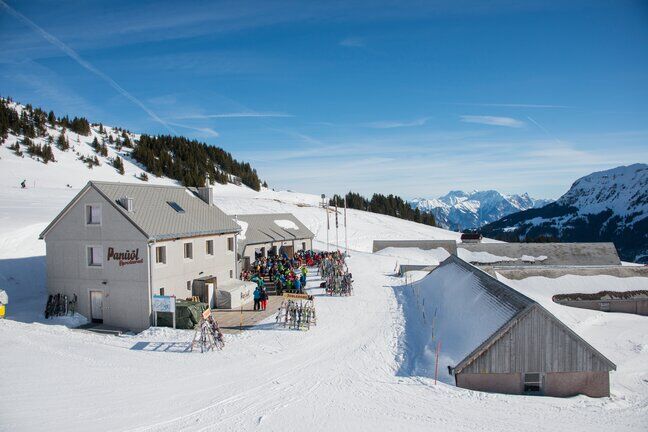
Maschgenkamm - Panüöl
Úroveň náročnosti: 3
Fotografie našich používateľov
-
 © Алексей СобчукVytvorené dňa 28.03.2026
 -
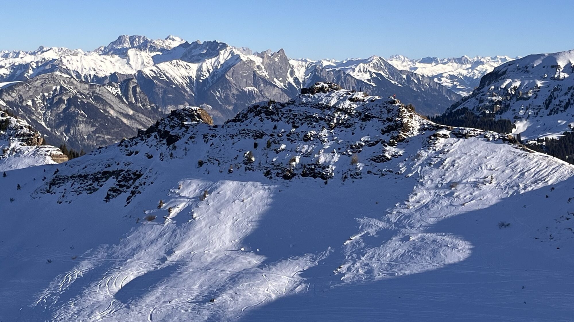
 © Алексей СобчукVytvorené dňa 09.02.2026
 -
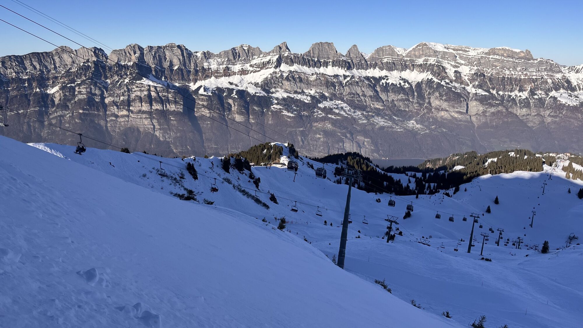
 © Алексей СобчукVytvorené dňa 09.02.2026
 -
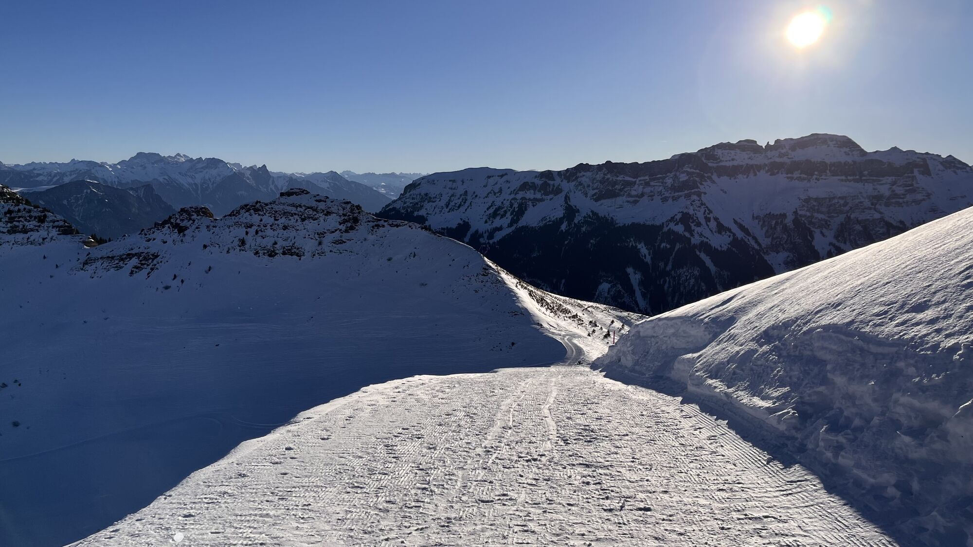
 © Алексей СобчукVytvorené dňa 09.02.2026
 -
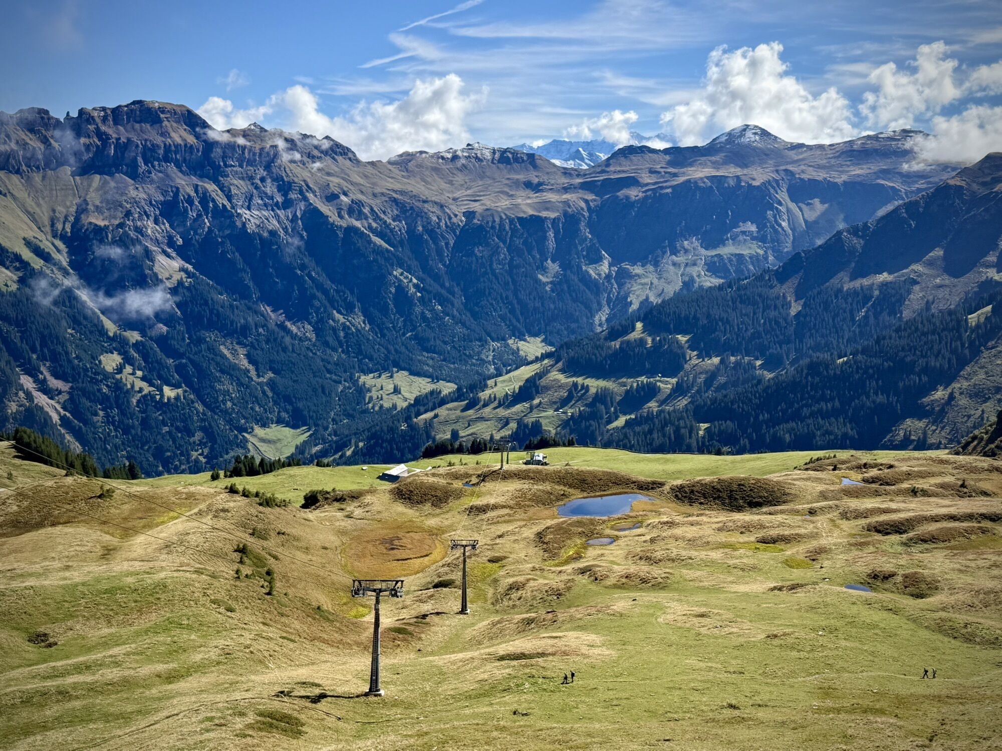
 © Xun GuVytvorené dňa 25.01.2026
 -
 © Xun GuVytvorené dňa 25.01.2026
 -
 © Xun GuVytvorené dňa 25.01.2026
 -

 © Erich Graf 2Vytvorené dňa 18.01.2025
 -
 © Erich Graf 2Vytvorené dňa 18.01.2025
 -
 © Erich Graf 2Vytvorené dňa 18.01.2025
 -
 © Daniel HerzVytvorené dňa 28.03.2026
 -
 © Daniel HerzVytvorené dňa 28.09.2025
 -
 © Daniel HerzVytvorené dňa 28.09.2025
 -
 © Daniel HerzVytvorené dňa 28.09.2025
 -
 © mosi mönäVytvorené dňa 07.09.2025
 -
 © mosi mönäVytvorené dňa 07.09.2025
 -
 © mosi mönäVytvorené dňa 07.09.2025
 -
 © mosi mönäVytvorené dňa 07.09.2025
 -
 © mosi mönäVytvorené dňa 07.09.2025
 -
 © mosi mönäVytvorené dňa 07.09.2025
 -
 © PezzottaVytvorené dňa 22.06.2025
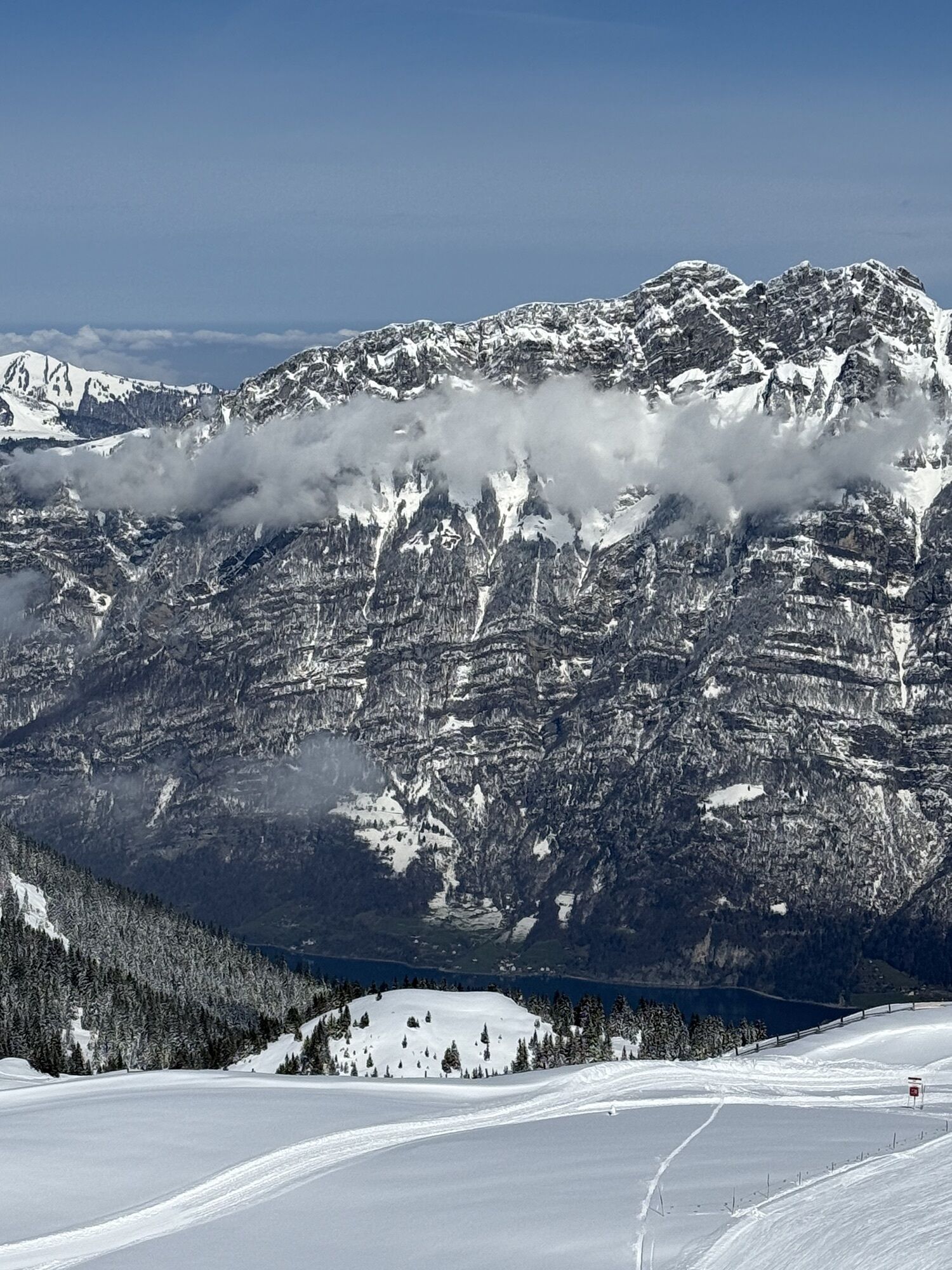

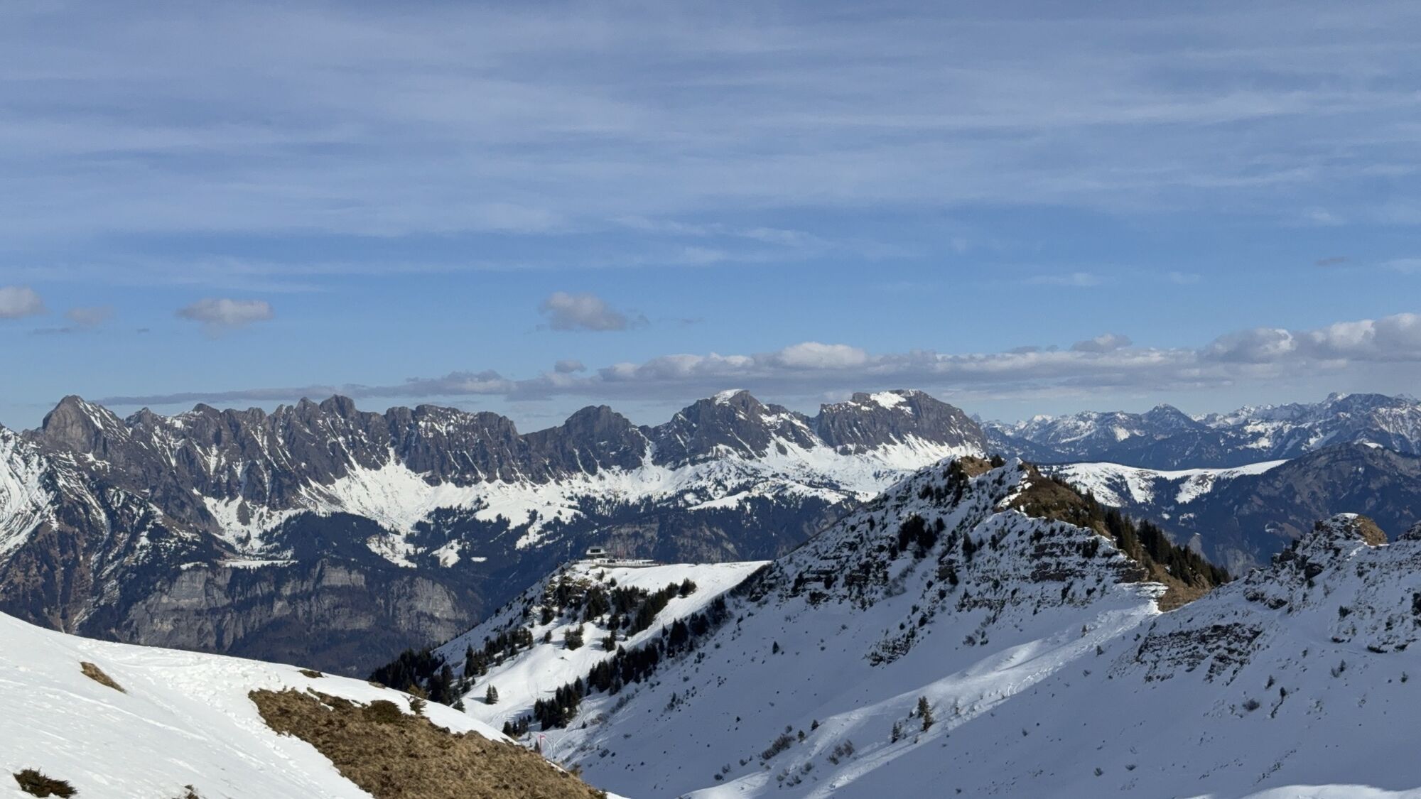
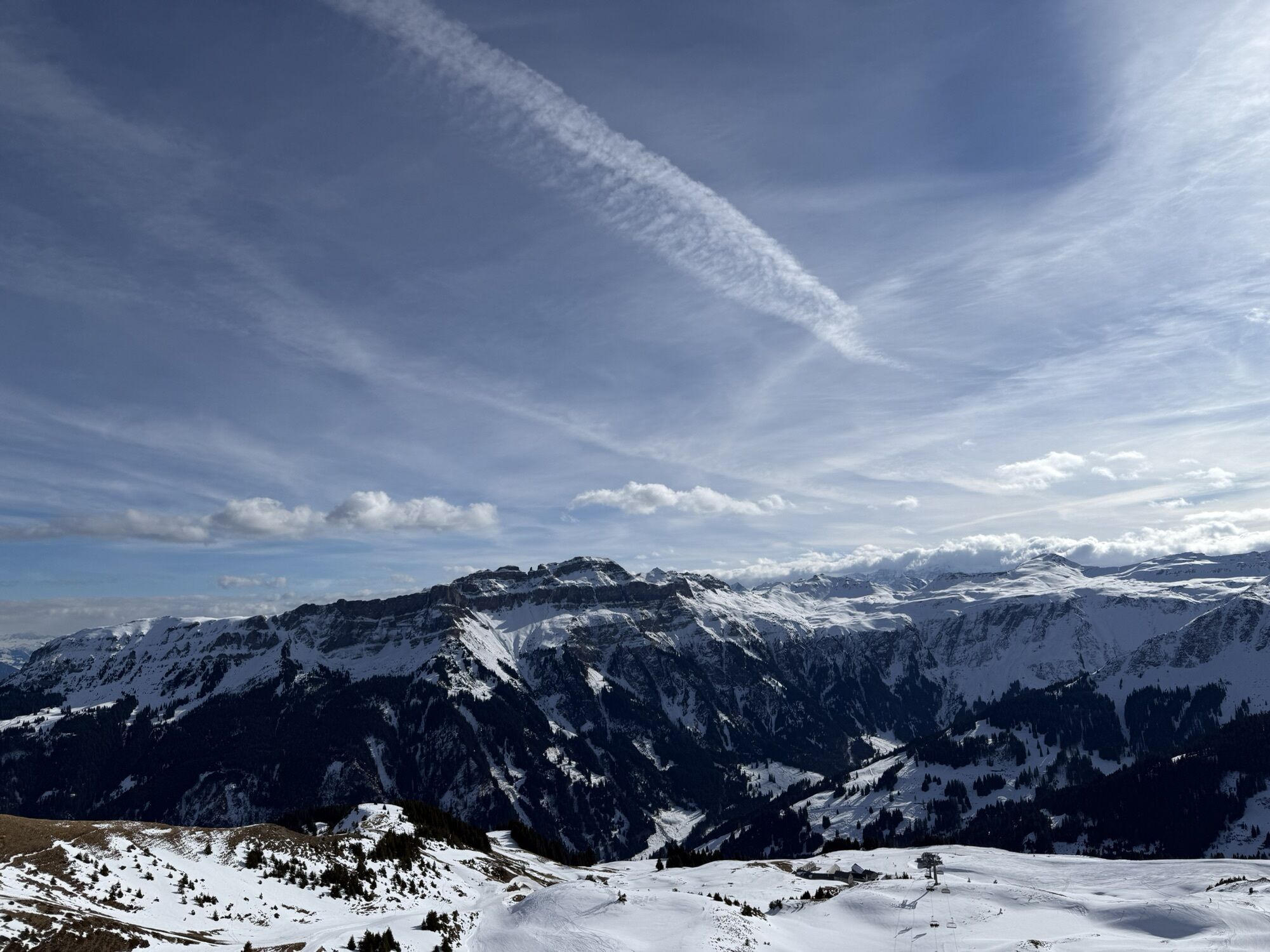


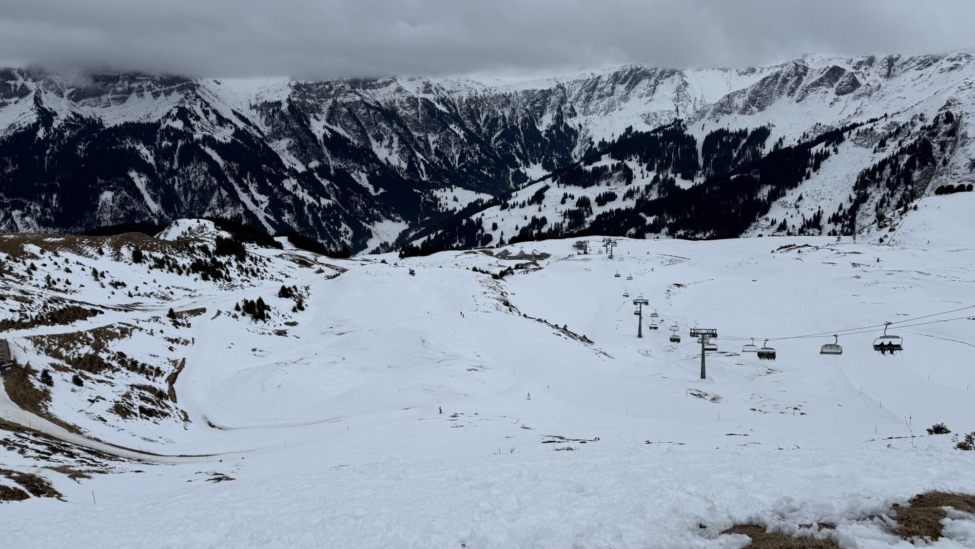


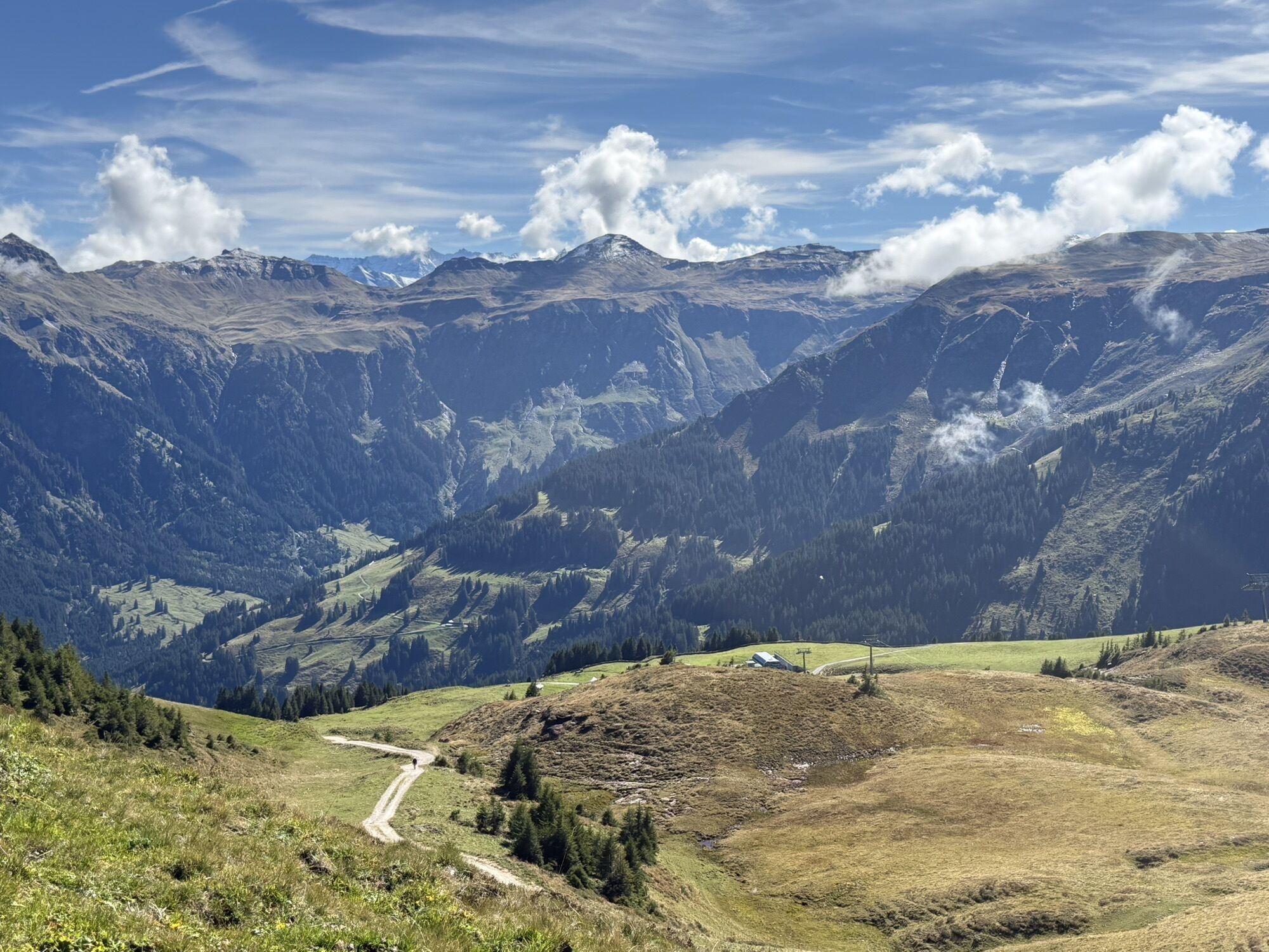


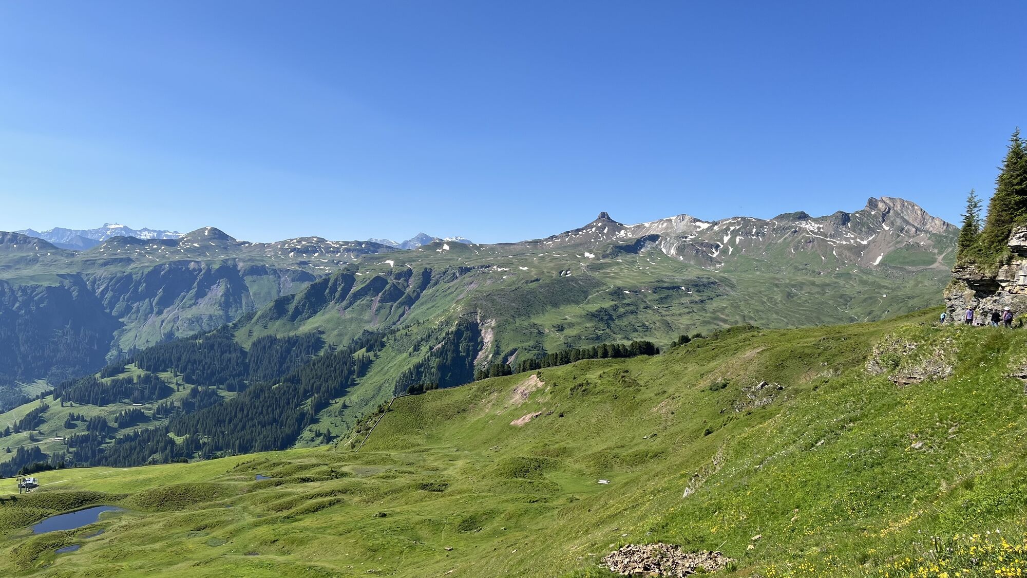
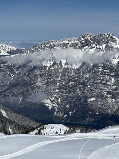
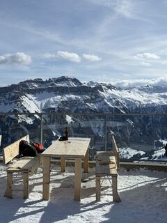
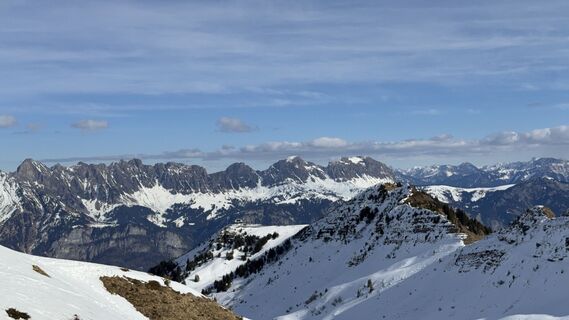
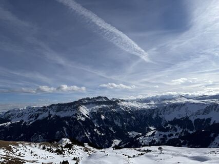
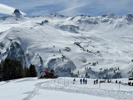
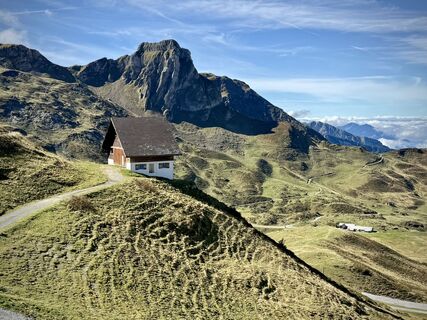
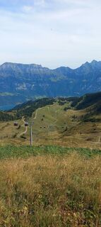
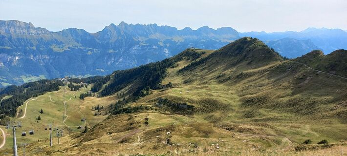
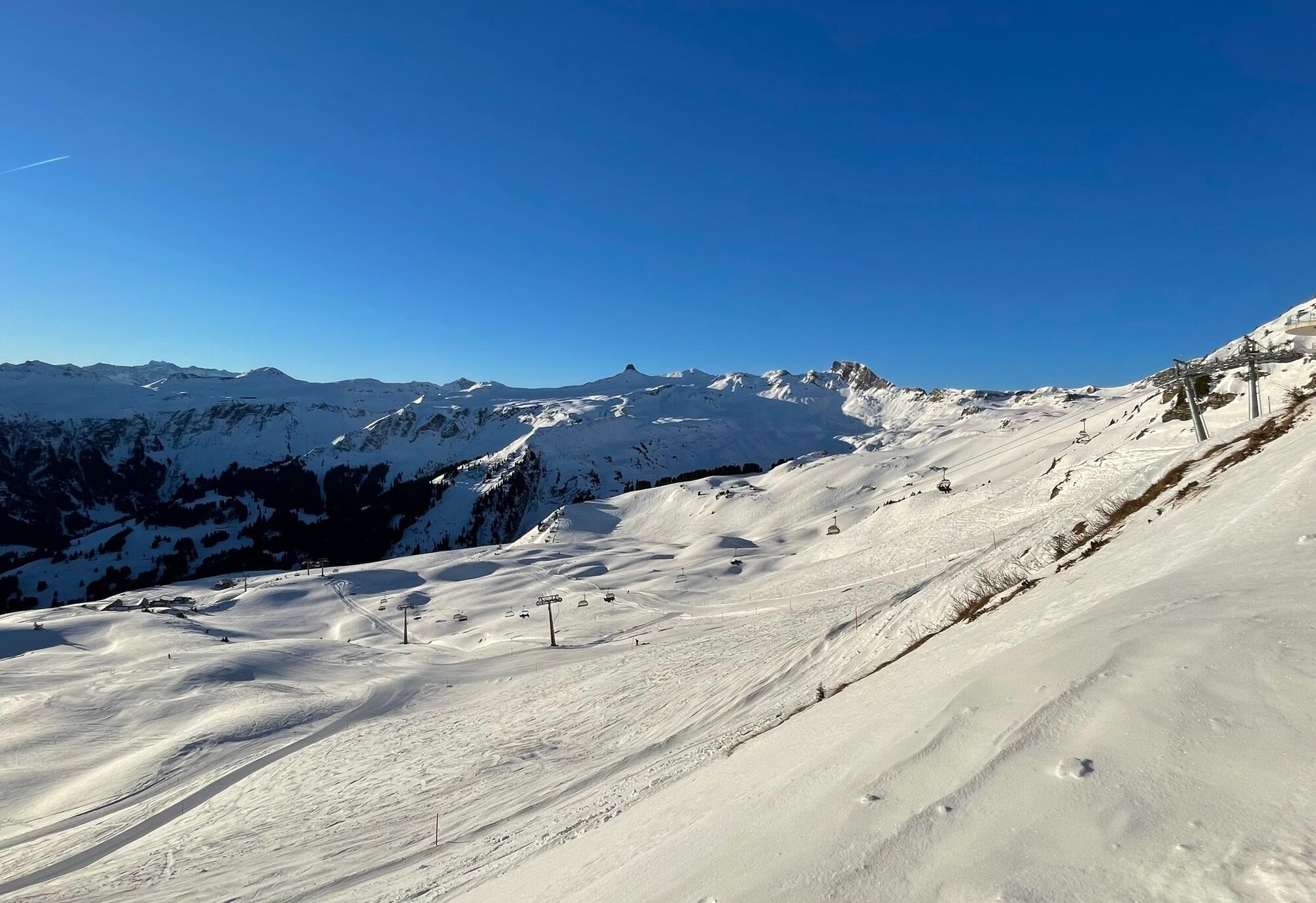
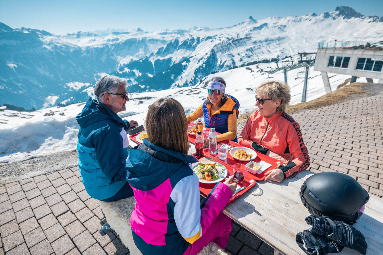
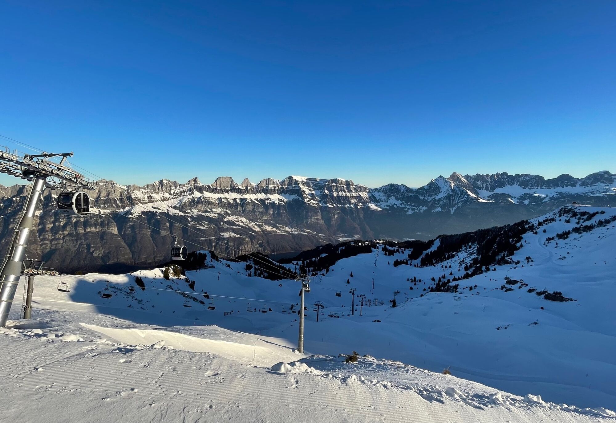
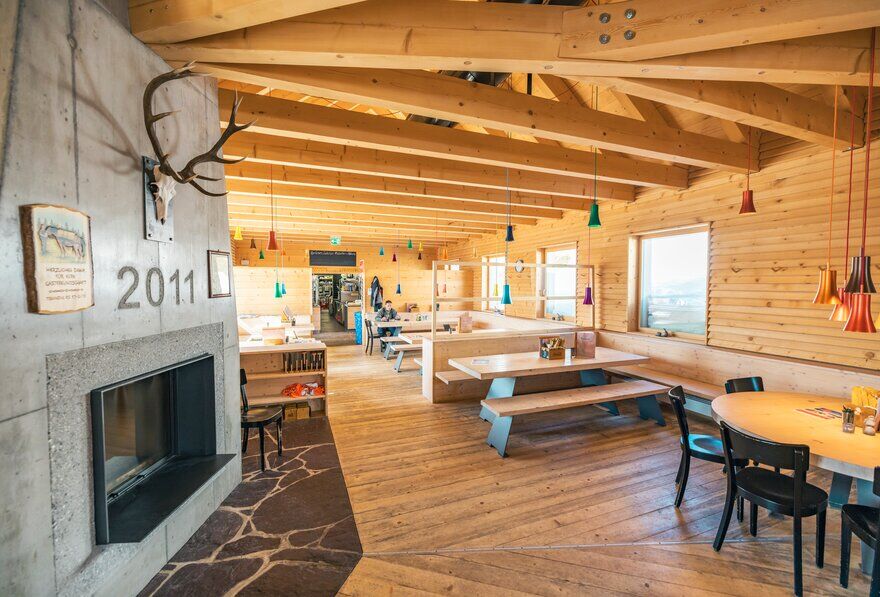
You hike between the Maschgenkamm panoramic restaurant and the top station of the Arven chairlift, around the panoramic restaurant. The first 250 m lead down a steep path 60 meters in altitude to the Maschgenlücke...
You hike between the Maschgenkamm panoramic restaurant and the top station of the Arven chairlift, around the panoramic restaurant. The first 250 m lead down a steep path 60 meters in altitude to the Maschgenlücke restaurant. We recommend taking hiking poles with you. The next meters are shared with alpine sportsmen until the winter hiking trail turns left. With a view of the Spitzmeilen area, the hiking trail leads over a small hill, where a short stop is worth it to enjoy the beautiful panorama. With some luck, you can see wild animals such as chamois on the left near the rock face. Then continue through a quiet forest area and at the junction choose the right way; to the left leads to Prodalp. Then it always goes gently downhill to the plain where the Panüöl alpine restaurant is located. From here you can continue hiking to Alp Fursch, to Prodalp, or you take the 6-person chairlift back to Maschgenkamm.


Normal winter hiking equipment, sturdy shoes. Hiking poles are recommended.
Motorway exit Flums/Flumserberg, follow the main road towards Flumserberg Tannenboden. Then take the gondola to Maschgenkamm.
Arrival by train to Unterterzen and up with the Unterterzen - Tannenboden aerial cableway
Daily from Zurich with the S25 to Ziegelbrücke, changing to the S4 to Unterterzen
Daily from St. Gallen directly with the S4 to Unterterzen
Daily from Zurich and Chur with the RE to Walenstadt, changing to bus 444 to Unterterzen
From Unterterzen, the 8-person gondola takes you directly to Flumserberg to the valley station Tannenboden LUFAG.
Arrival by train to Flums and Postbus to Flumserberg Tannenboden
Daily to Flums or Sargans, then by bus 441 towards Flumserberg to the stop Tannenboden, gondola cable car.
Then take the gondola to Maschgenkamm.
Public parking lots available at Tannenboden.
The parking lots are chargeable from 07:00 to 17:00. From 17:00 to 02:00 we may leave the car free of charge.
From 02:00 to 07:00 a night parking ban applies. There are enough night parking spaces in the Tannenboden parking garage or in the Tannenheim.
The night parking can be used for a fee, but camping is prohibited.
3
Heidiland Tourism
Information Office Flumserberg
T +41 81 720 18 18
www.heidiland.com
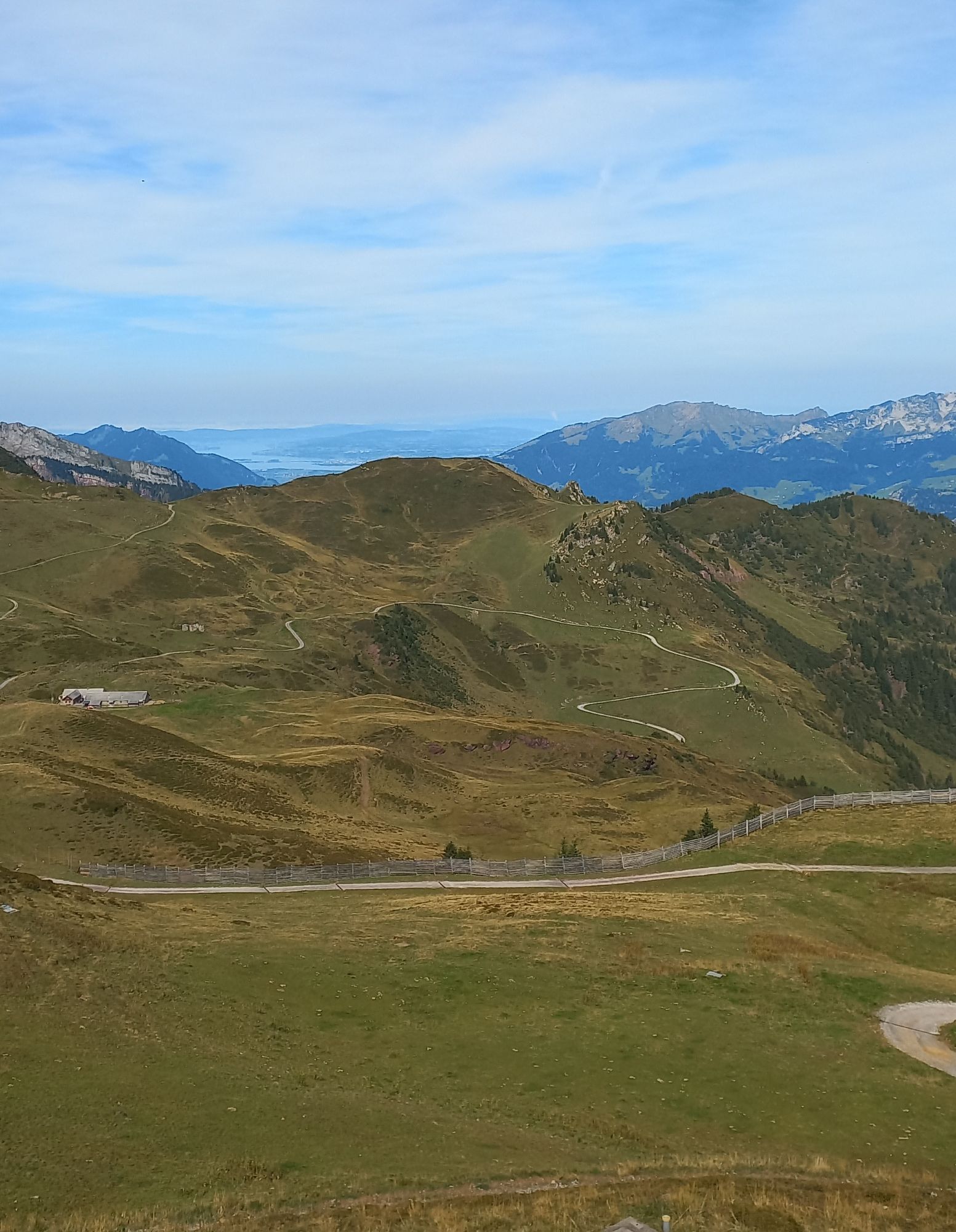
From Maschgenkamm towards Panüöl there are very steep sections. Therefore, a route can also be done using the chairlift.
Webové kamery z prehliadky
Obľúbené výlety v okolí
-
4,7
Walensee Riviera Weesen - Quinten
strednáTuristika 10,2 km -
4,7
Riviera Lake Walen Walenstadt-Quinten
strednáTuristika 10,4 km -
3,7
5-Seen-Wanderung - DER KLASSIKER
ťažkéTuristika 9,70 km -
4,7
Alvier
strednáTuristika 3,33 km -
4,6
4-Summit-Route Flumserberg
strednáTuristika 8,65 km -
5,0
Schrina Alp and Cultural Trail
strednáTematická trasa 11,5 km -
4,7
Quinten-Trail 453
strednáBeh 8,97 km -
3,2
Route of amazement Flumserberg
svetloTuristika 8,03 km -
4,5
Amden - Speer (Rundkurs)
svetloTuristika 17,6 km -
3,7
Winter hike on the Rosenboden panoramic circular route
svetloZimná turistika 2,95 km

Turistika a stopovanie


Nenechajte si ujsť ponuky a inšpiráciu na ďalšiu dovolenku
Vaša e-mailová adresa bol pridaný do poštového zoznamu.