


Winter hiking trail Vättis - Kunkels
Úroveň náročnosti: 2
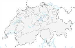
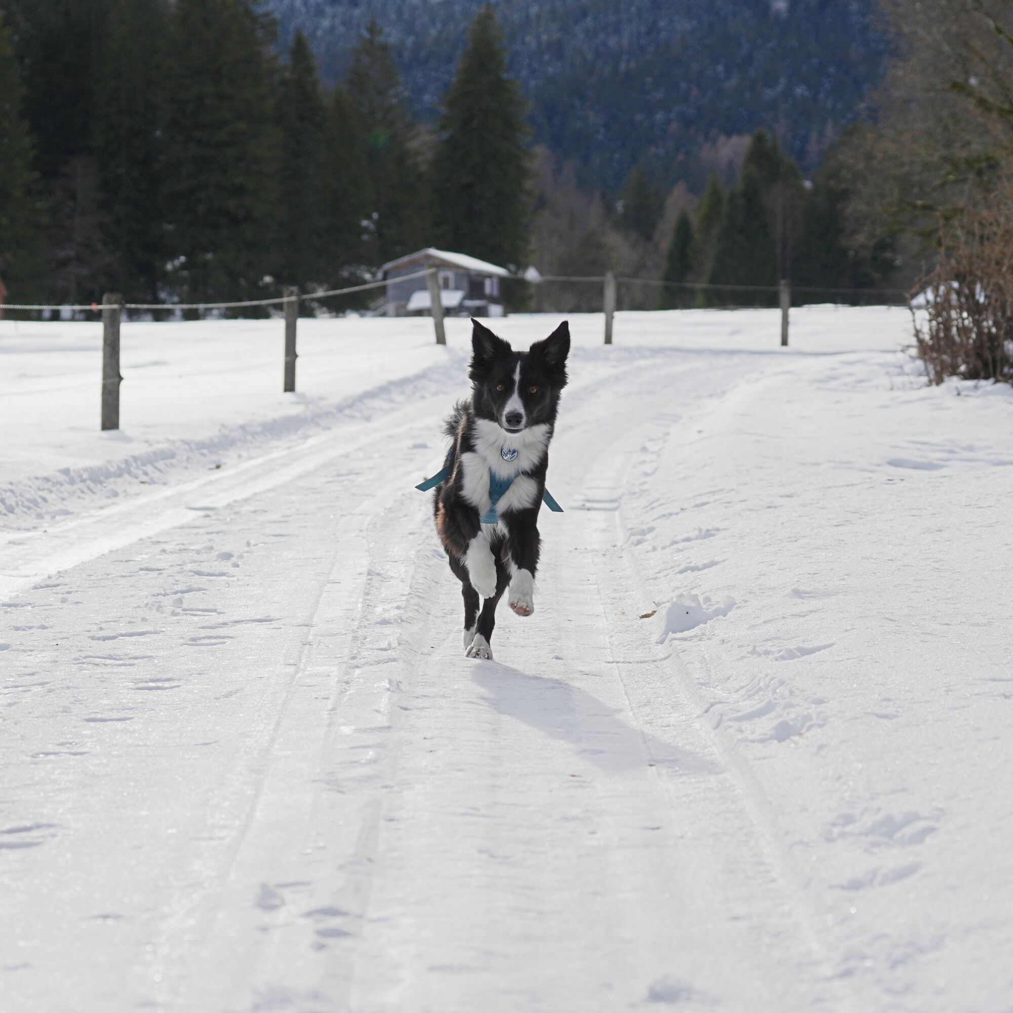
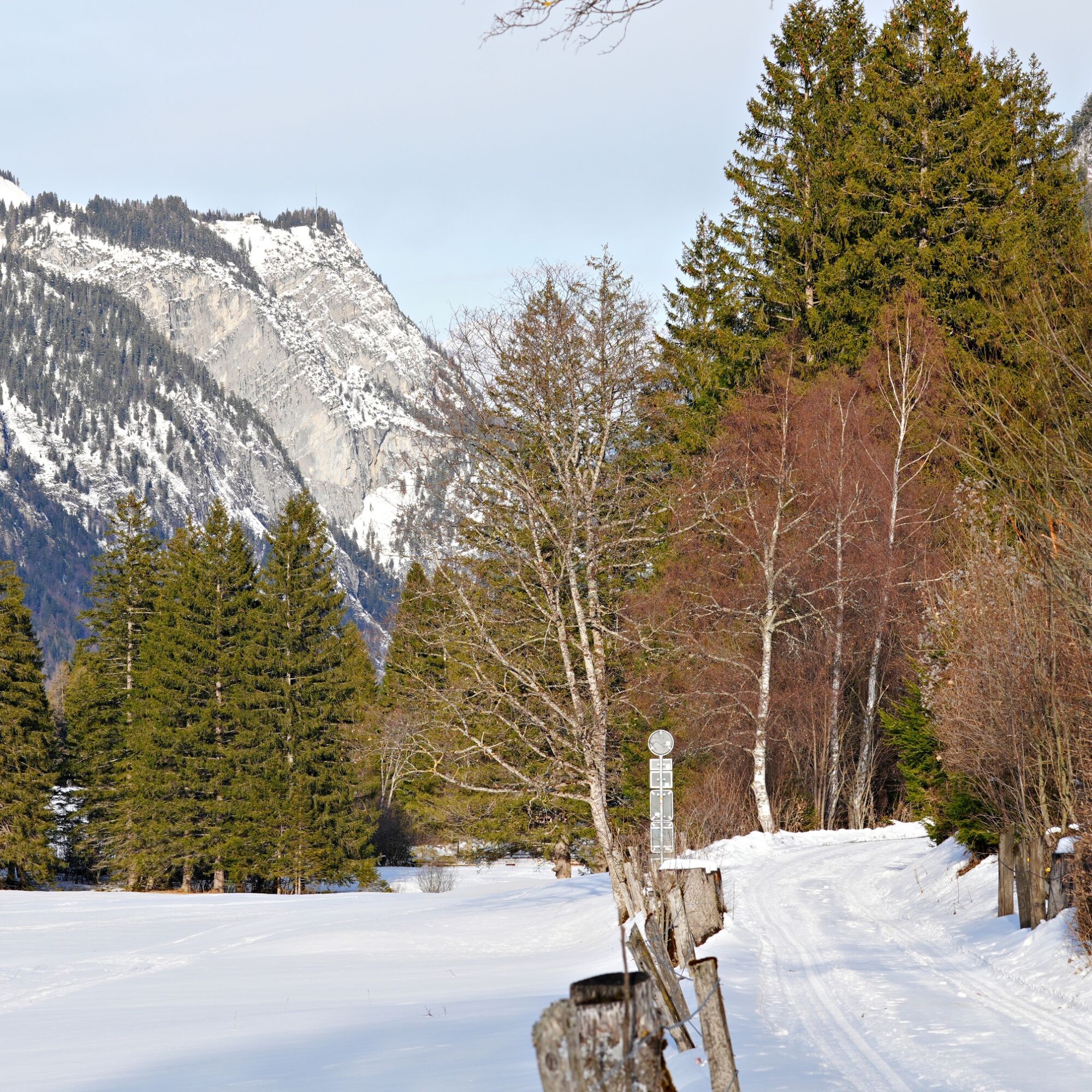
The village of Vättis, where this leisurely winter hiking trail starts, lies at the very back of the Tamina Valley. At 10.3 kilometers and 200 meters in altitude, the trail is almost flat and is therefore...
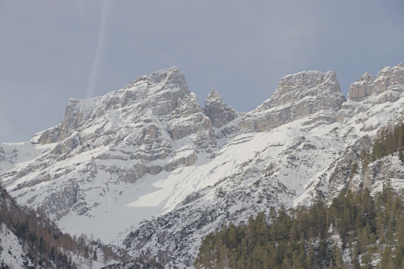
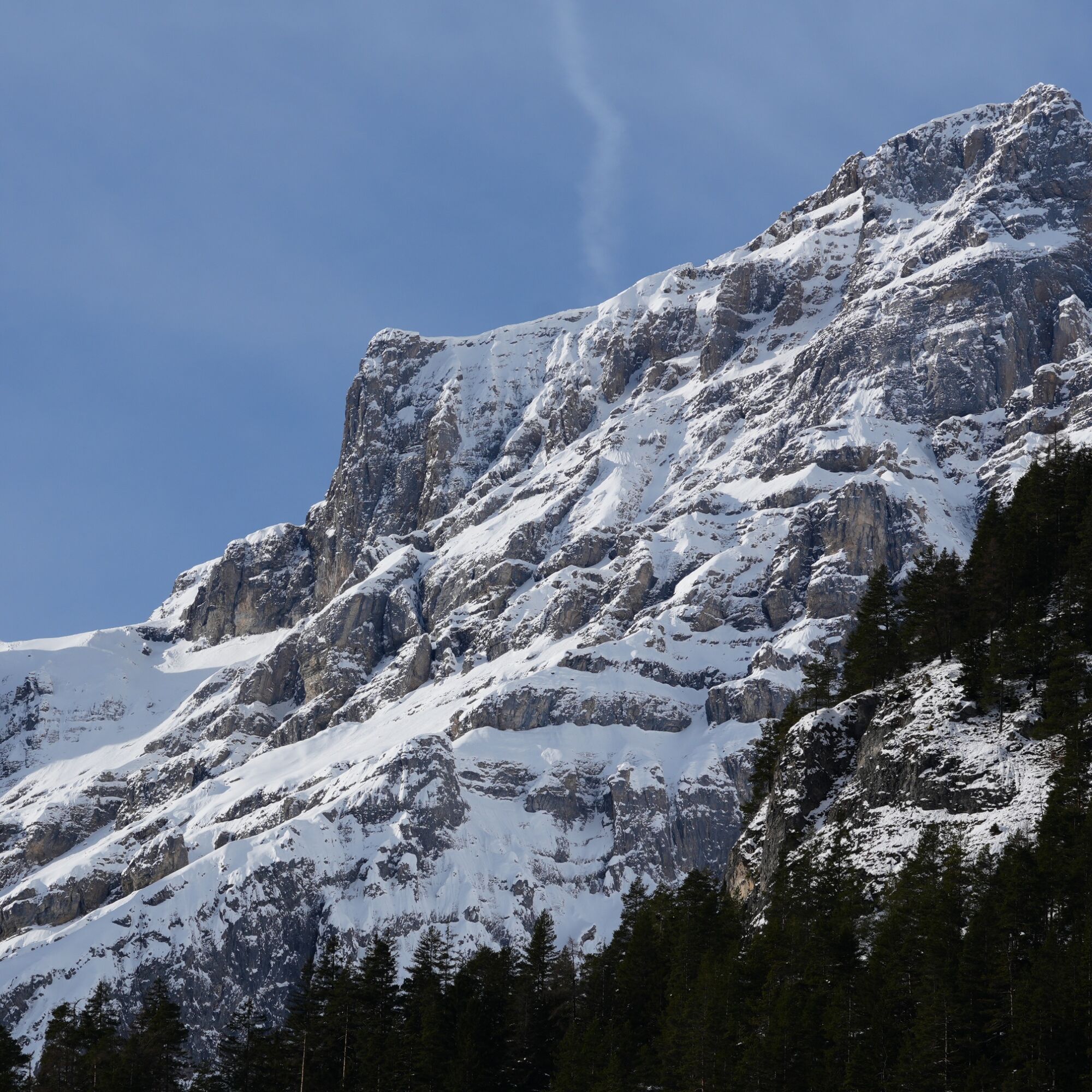
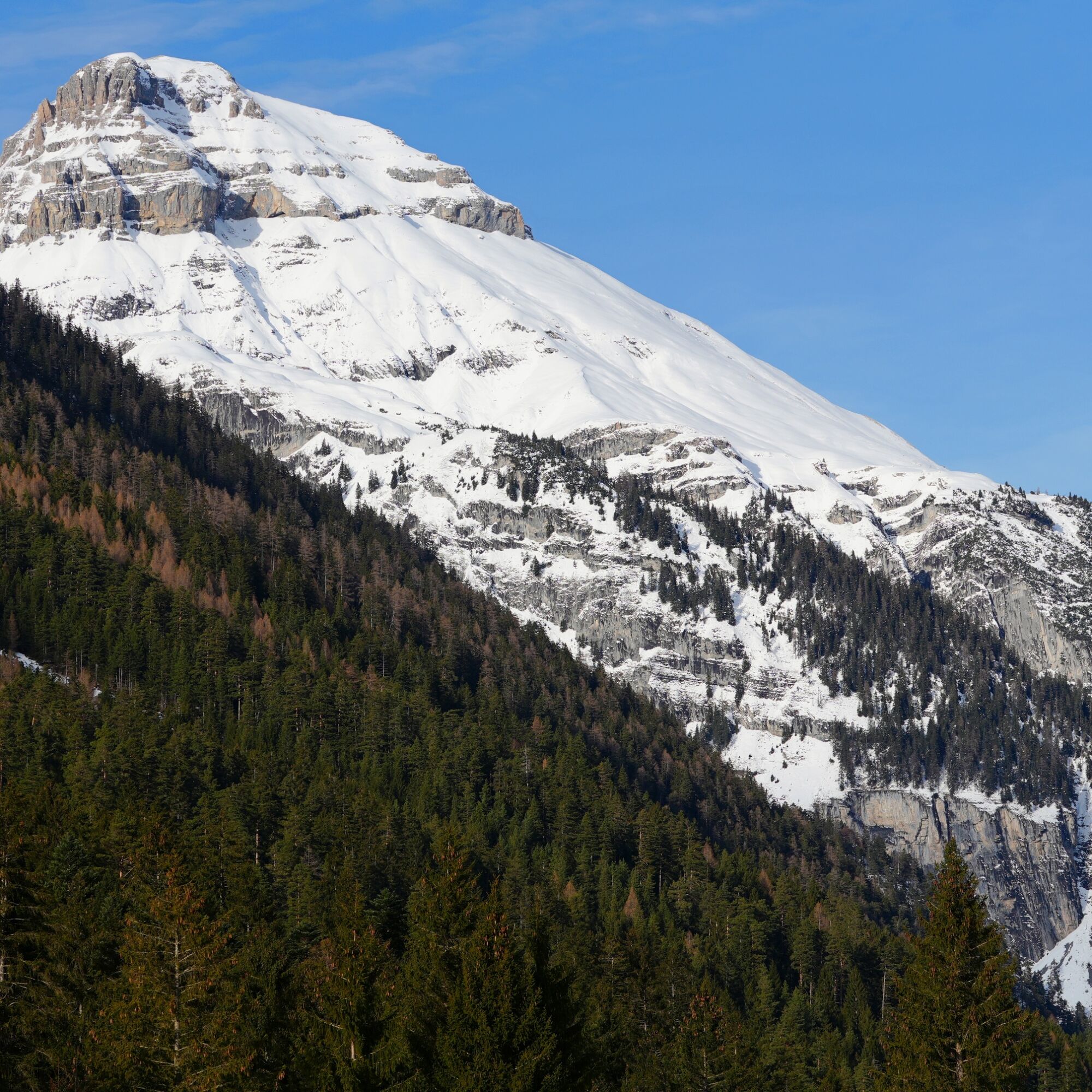
The village of Vättis, where this leisurely winter hiking trail starts, lies at the very back of the Tamina Valley. At 10.3 kilometers and 200 meters in altitude, the trail is almost flat and is therefore also suitable for leisurely hikers and families. You won't find any winter hustle and bustle here and can enjoy the tranquillity of the winter landscape. The trail runs along the Kunkelsstrasse and you always have a view of the imposing mountain personalities of the Tamina Valley, such as the Calanda.

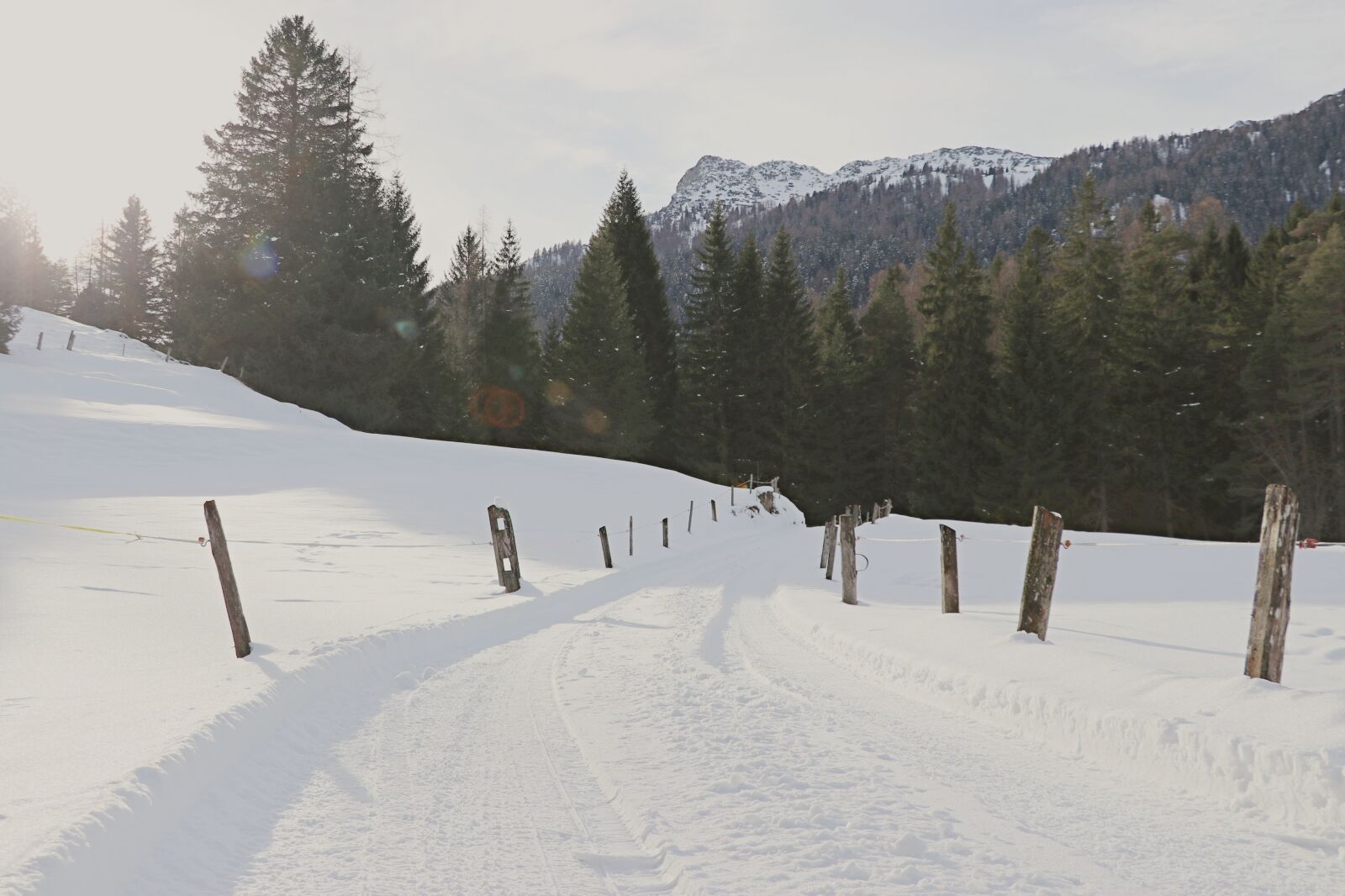
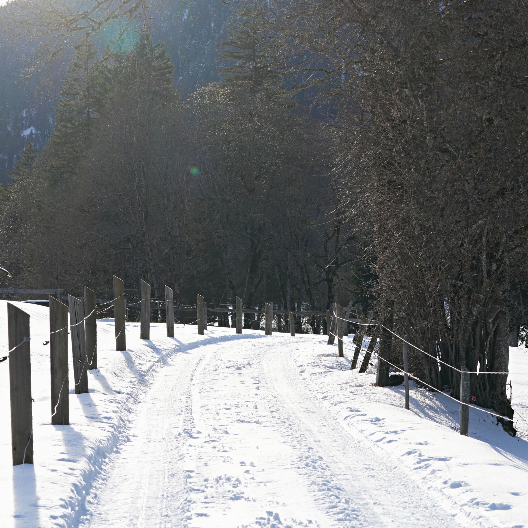
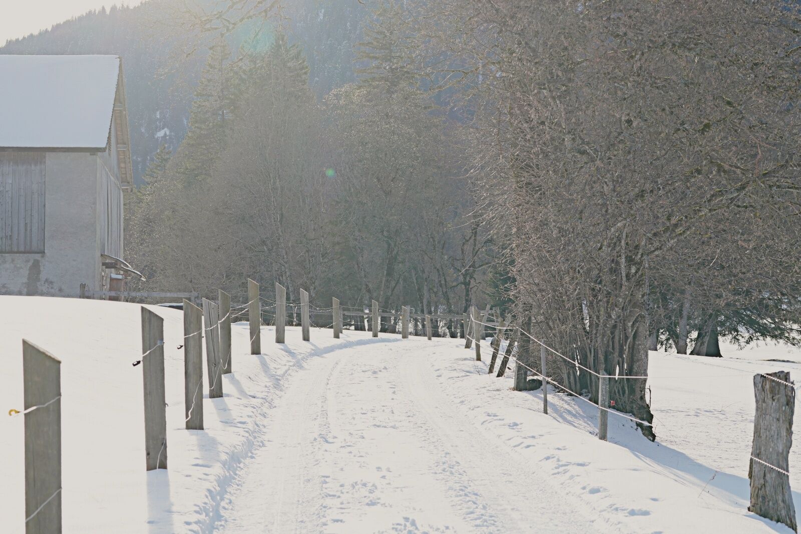
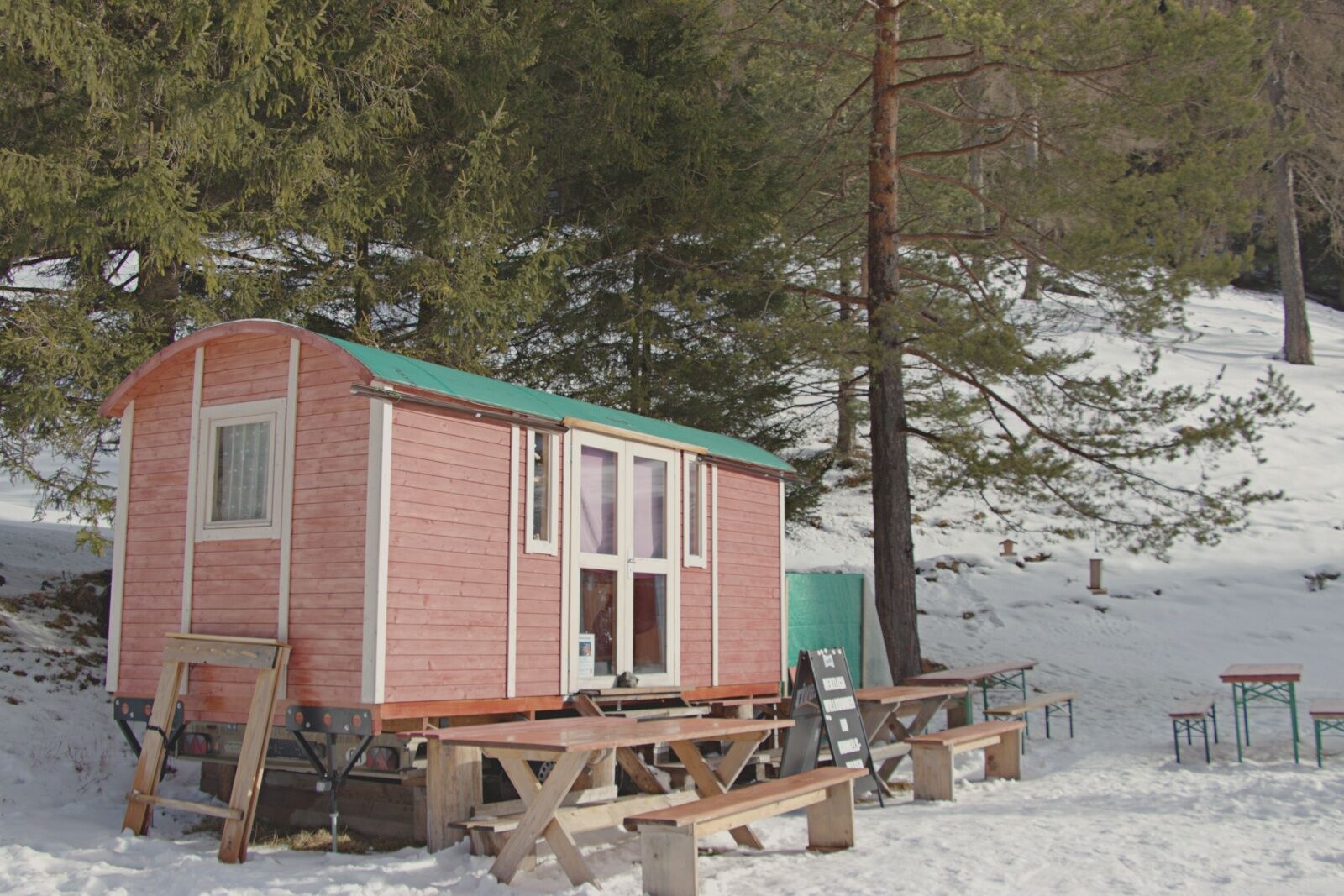
The tour starts near the village store in Vättis. There you will also find a bus stop and a free parking lot. From there, you set off on a narrow footpath, which takes you back to Langgasse shortly afterwards. Follow this until you reach the junction with Kunkelsstrasse. Now follow the path past the Kunkelswagen and the Hüttenwiese campsite (only in summer). The path leads you to the Berggasthaus Eggwald (no restaurant), from where you take the same way back.
Áno
Áno
Normal winter hiking equipment, sturdy shoes.
Take the Bad Ragaz highway exit, then the main road to Pfäfers. In the village of Pfäfers, continue to Vättis.
Take the train to Bad Ragaz, continue by bus to the bus stop Vättis, Dorf.
Parking spaces are available opposite the petrol station in the village center (Calfeisenstrasse) or at the bus stop in Vättis, Dorf.
2
Info point Bad Ragaz
T +41 81 300 40 20
www.heidiland.com
Current information on the trail conditions and contact options can be found here: Vättis Ski Club
Sun loungers await you at the Kunkelswagen (1 km after the start) as well as various snacks and drinks on Wednesday, Saturday and Sunday.
Obľúbené výlety v okolí
-
3,7
5-Seen-Wanderung - DER KLASSIKER
ťažkéTuristika 9,70 km -
4,5
4-lake hike: Caumasee - Crestasee - Felsbach Gorge
strednáTuristika 12,8 km -
4,8
Pizalun circular route
svetloTuristika 7,18 km -
4,5
Tamina Gorge Circular Route
strednáTuristika 14,0 km -
4,7
Rhine Gorge Hike: Senda Ruinaulta (659)
svetloTuristika 9,39 km -
4,7
The Water Trail: Trutg dil Flem 764
ťažkéTematická trasa 8,56 km -
5,0
Caumasee tour: Flims - Caumasee - Conn - Flims
svetloTuristika 7,94 km -
4,7
Mountain hike to the Strudeltöpfe on Alp Mora: Bargis-Trin
ťažkéTuristika 18 km -
5,0
Circular hike Bettlerweg & 2-Lakes Hike Pizol
strednáTuristika 11,4 km -
5,0
Lower Segnesboden: Nagens Sura - Lower Segnesboden - Segnes hut - Alp Nagens
strednáTuristika 6,66 km

Turistika a stopovanie


Nenechajte si ujsť ponuky a inšpiráciu na ďalšiu dovolenku
Vaša e-mailová adresa bol pridaný do poštového zoznamu.