






Winter hiking on the Ricken
Ricken, a small village on the eponymous pass in the canton of St. Gallen, lies between Lake Zurich and the Toggenburg, at 800 meters altitude. Part belongs to Gommiswald on the upper Lake Zurich, the...
Ricken, a small village on the eponymous pass in the canton of St. Gallen, lies between Lake Zurich and the Toggenburg, at 800 meters altitude. Part belongs to Gommiswald on the upper Lake Zurich, the other half of the village including the church to Wattwil in Toggenburg

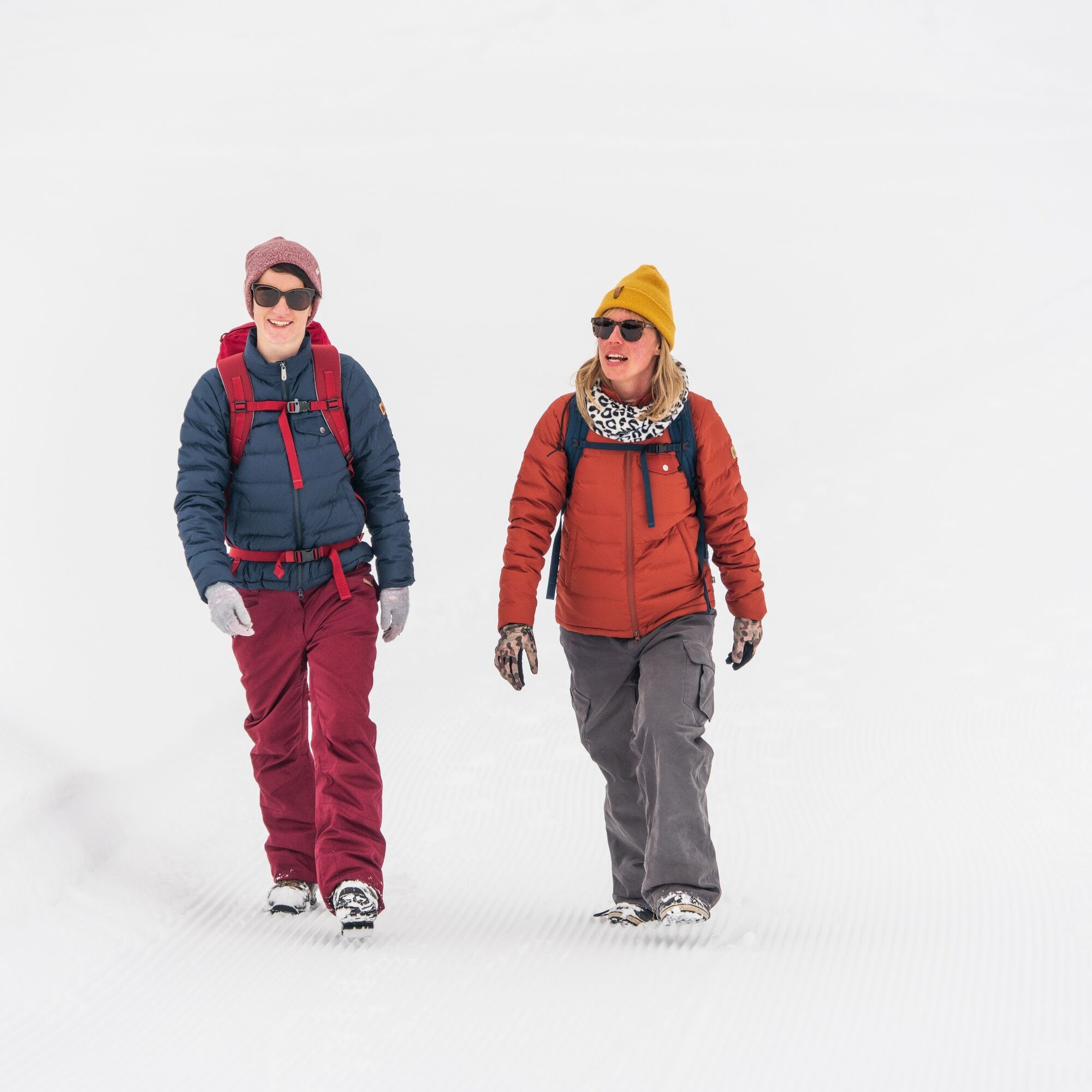
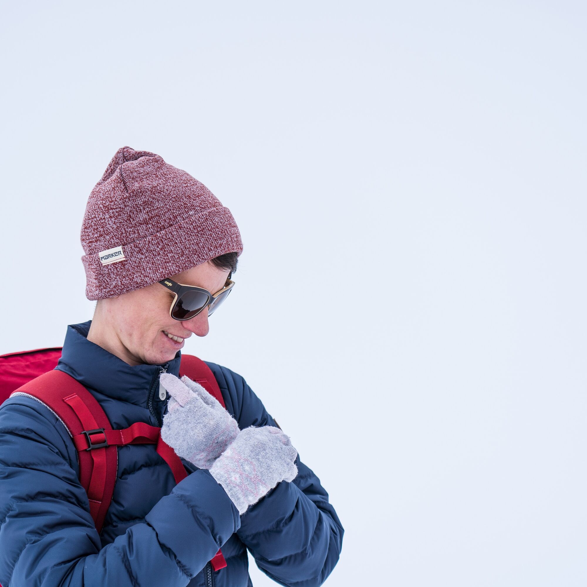
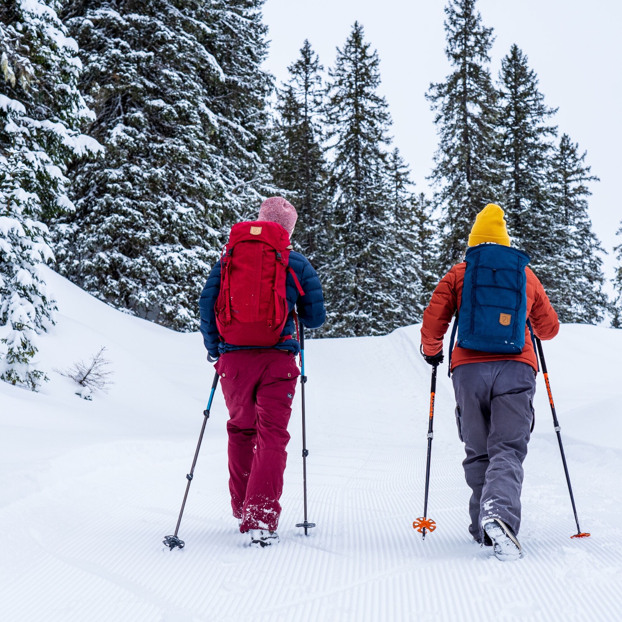

The start is at the Ricken club house and leads to the Bildhus restaurant. The winter hiking route is continuously signposted.
Áno
Day hiking backpack (approx. 20 liters) with rain cover, comfortable and waterproof winter shoes or sturdy hiking boots, possibly crampons and gaiters, warm and weatherproof clothing in layers, hat/headband, scarf, gloves, sun and rain protection, provisions and drinking water, thermos bottle with hot drink, first aid kit, pocket knife, mobile phone, possibly headlamp, map material, possibly telescopic poles
The start is located at the club house of the Rickenloipe at Rickenschwingerweg 2. The club house is clearly visible between Uznacher- and Rapperswilerstrasse.
The winter hiking trail on the Ricken is conveniently accessible by bus or post bus in about 20 minutes from Uznach or Wattwil. The bus ride from Rapperswil takes about 40 minutes.
Parking in the village is available directly at the club house or at the Schweizerhaus restaurant opposite Sparmini Ricken. On weekends, you will be guided by the parking team.
Outside the village, there are additional parking options at the Bildhaus restaurant or at the Eich parking lot.
All parking lots are free of charge
The snow report informs you about the current condition of the winter hiking trail.
You can find dining options on the website of Rickenloipe.
Webové kamery z prehliadky
Získajte prehľad
Vždy naživo na mieste s viac ako 9 500 webovými kamerami. bergfex Ako používateľ Pro si teraz môžete pozrieť príslušné webové kamery pre mnohé zájazdy v aplikácii zájazdy z. Môžete si tak priamo prezerať aktuálne podmienky.
Obľúbené výlety v okolí
-
4,3
Schnebelhorn Rundwanderung
strednáTuristika 11,9 km -
3,2
Winter hike at the Hulftegg
svetloZimná turistika 7,39 km -
4,5
Amden - Speer (Rundkurs)
svetloTuristika 17,6 km -
4,5
Hulftenegg - Hörndli
svetloZimná turistika 6,98 km -
4,5
Hike from Ebnat-Kappel to Tanzboden
strednáTuristika 14,5 km -
Hike from Hemberg to the Ofenloch
strednáTuristika 10,9 km -
4,3
Steg-Schnebelhorn
strednáTuristika 17,9 km -
4,7
Hike at Hulftegg
svetloTuristika 7,42 km -
4,0
Ski route to Tanzboden
strednáSkitour 6,89 km -
2,6
Snowshoe hike to Tanzboden
strednáSnežnice 11,6 km
Turistika a stopovanie


Nenechajte si ujsť ponuky a inšpiráciu na ďalšiu dovolenku
Vaša e-mailová adresa bol pridaný do poštového zoznamu.





