




The Great Island Circuit of Konnivesi, Heinola
Úroveň náročnosti: 5
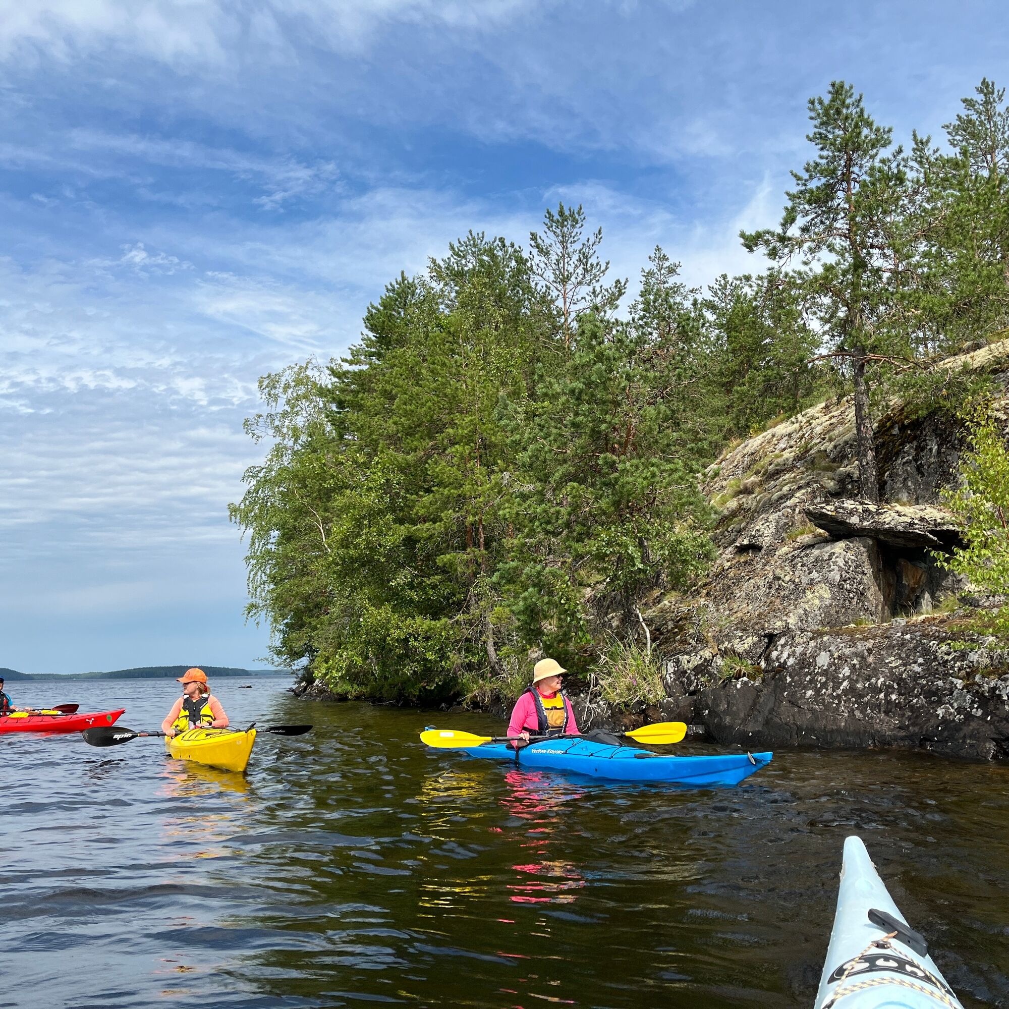
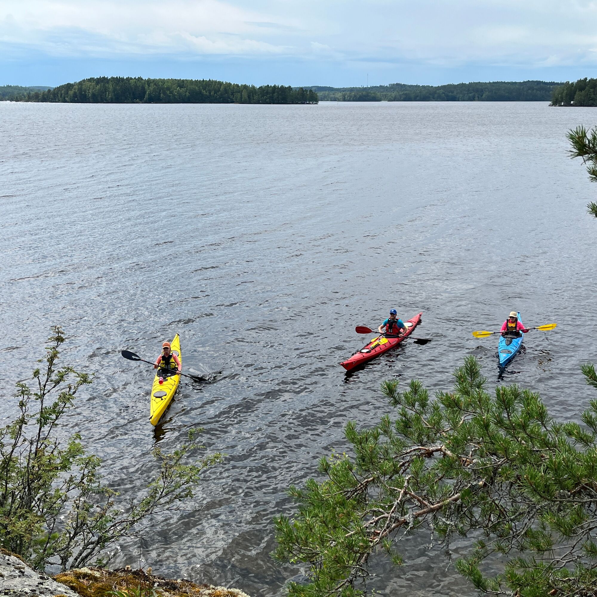
The route starting from Jyrängö at Koskensaari beach runs on Konnivesi south of Heinola. The proposed route partly crosses wide open waters but also goes through narrower straits. Due to the large open...
The route starting from Jyrängö at Koskensaari beach runs on Konnivesi south of Heinola. The proposed route partly crosses wide open waters but also goes through narrower straits. Due to the large open waters, the Great Island Circuit of Konnivesi requires good paddling skills.
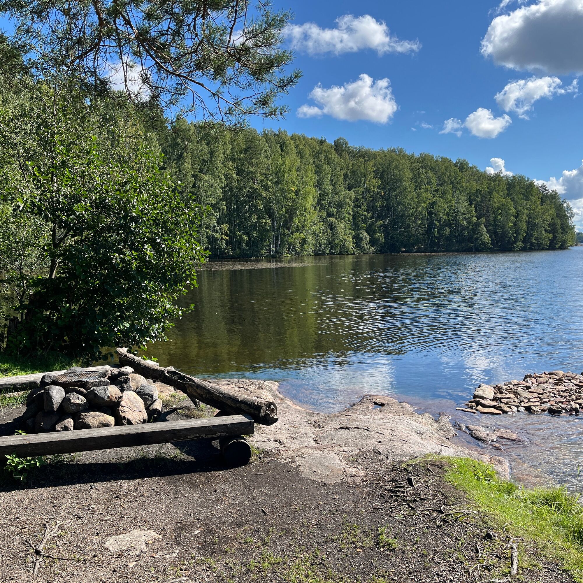
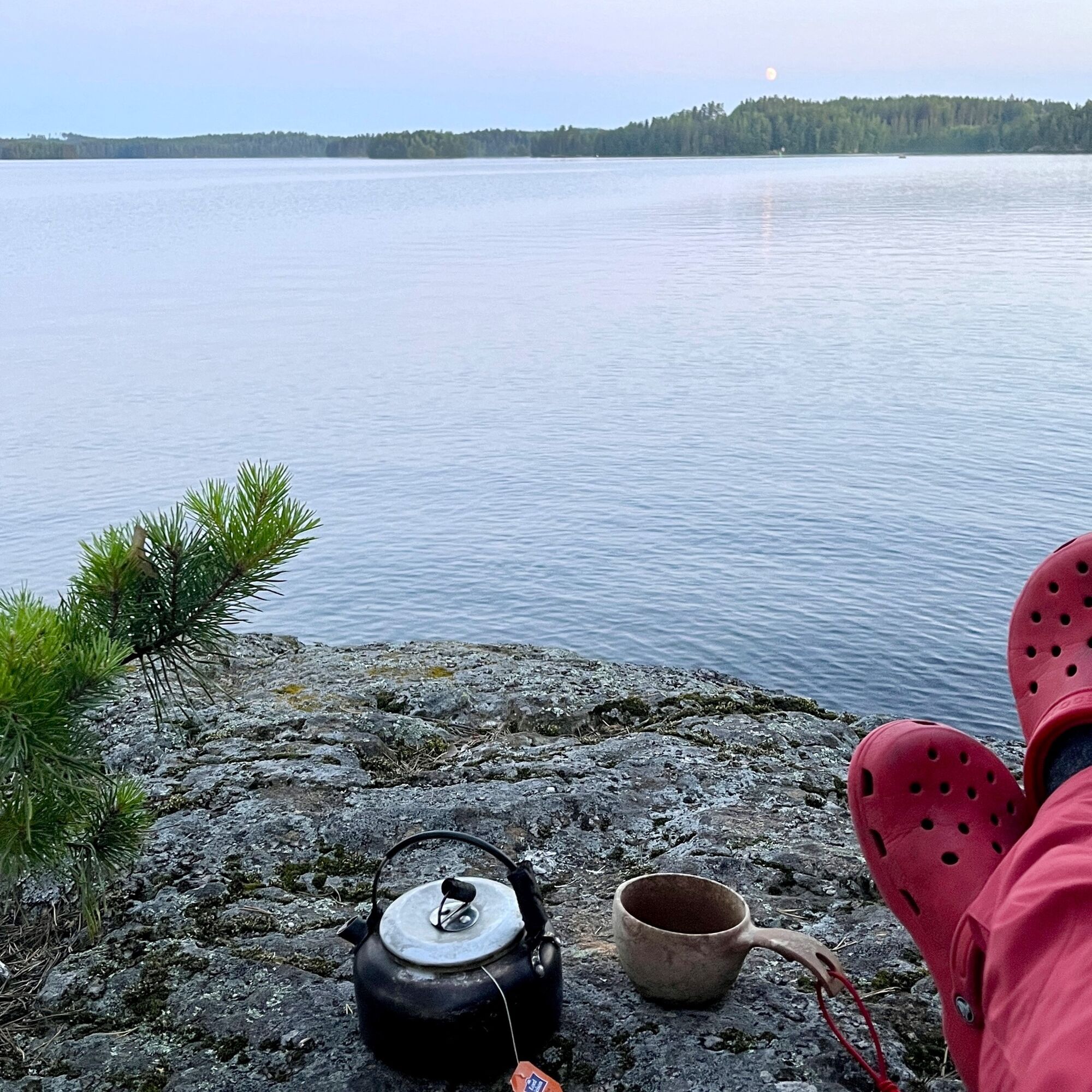
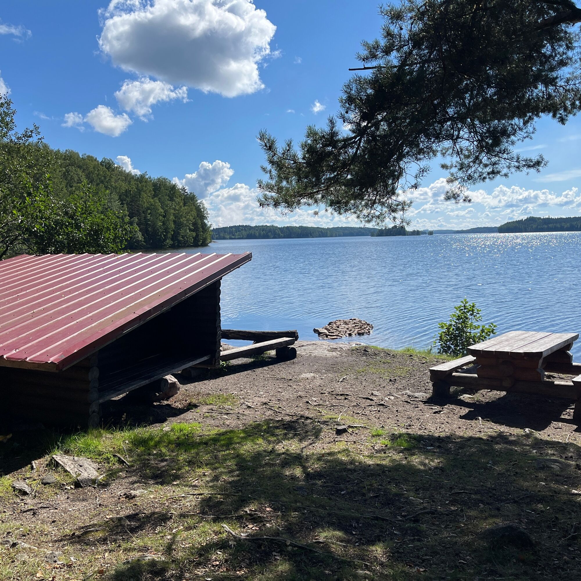
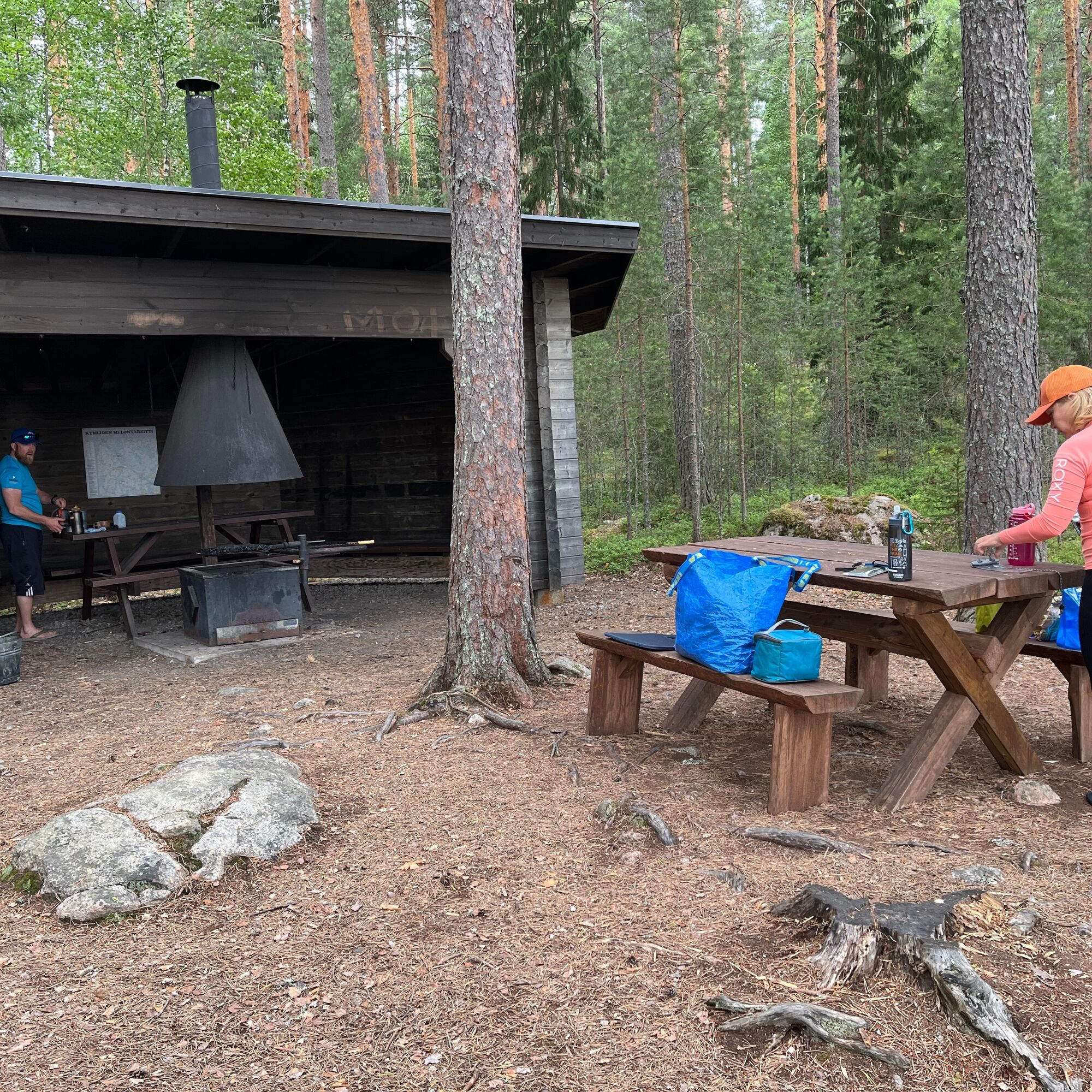
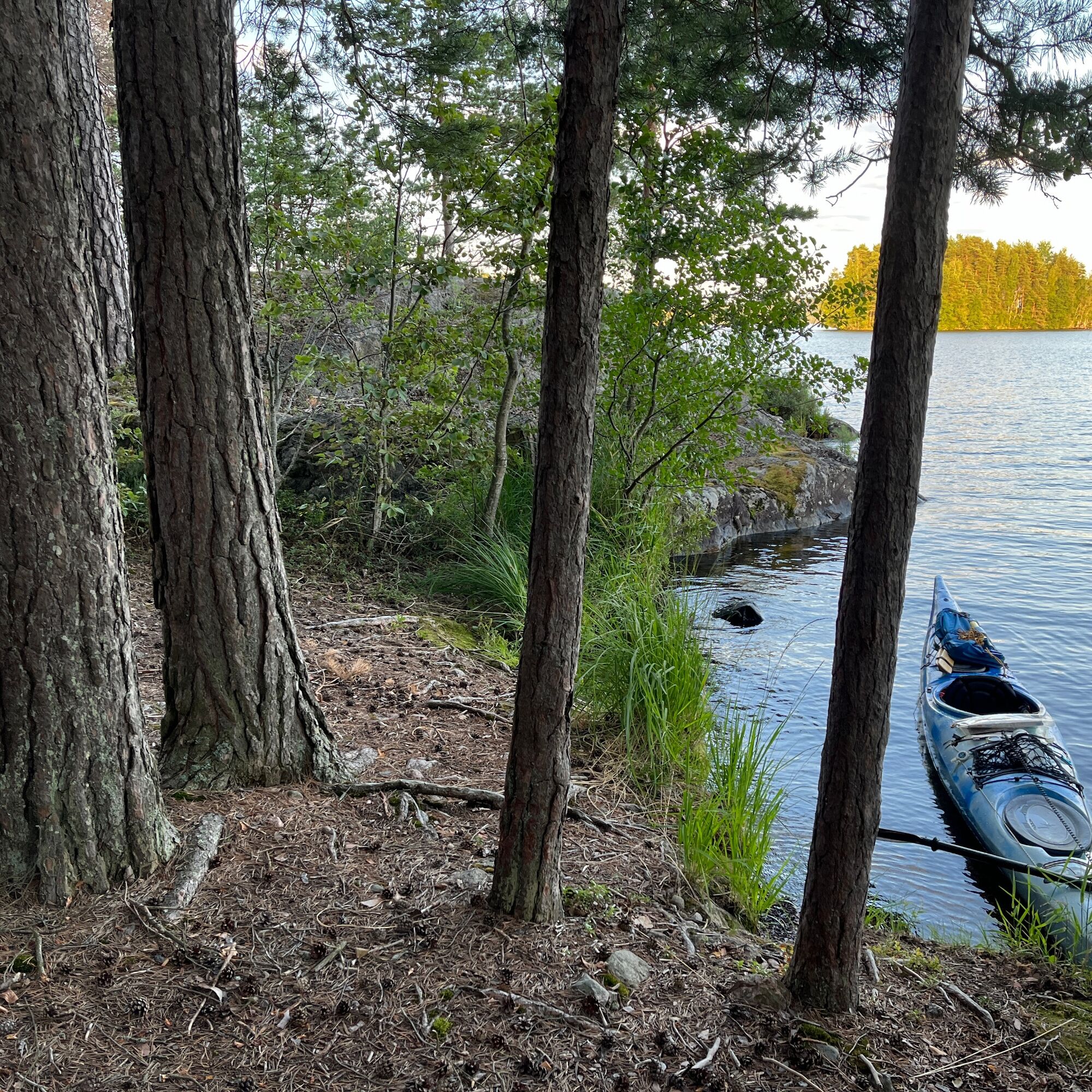
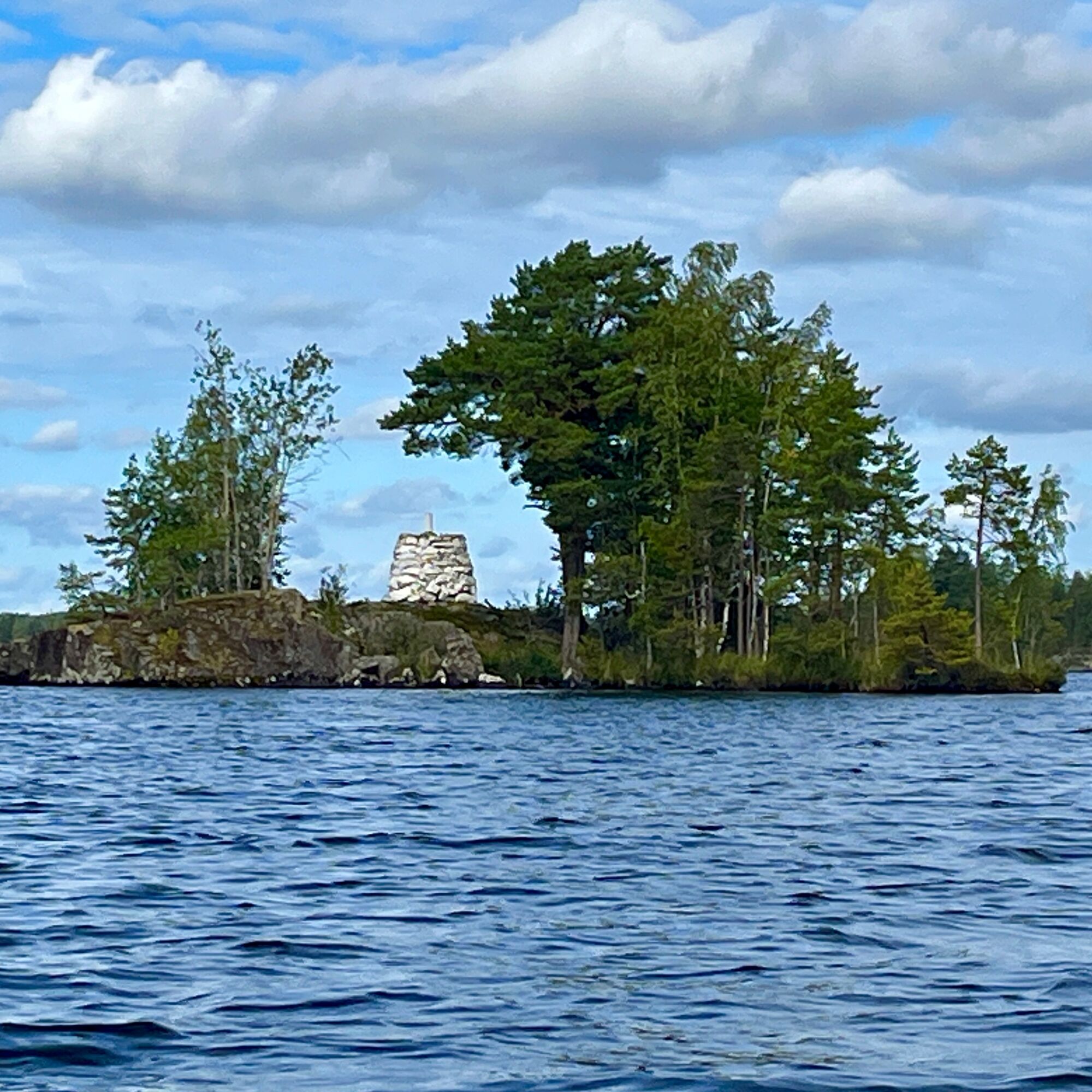
Rest stops along the way include Heinola's Rautsaari and Vasikkasaari campsite with a cooking shelter on the Iitti side. At the border point of Heinola and Iitti municipalities on Laivasaari, there is an ancient relic, an old border stone. Landing on the island can be difficult, but the cliff offers magnificent views over Konniselkä. Near Jyränkö at the southern tip of Koskensaari is a nice picnic spot with a lean-to shelter and fire place.
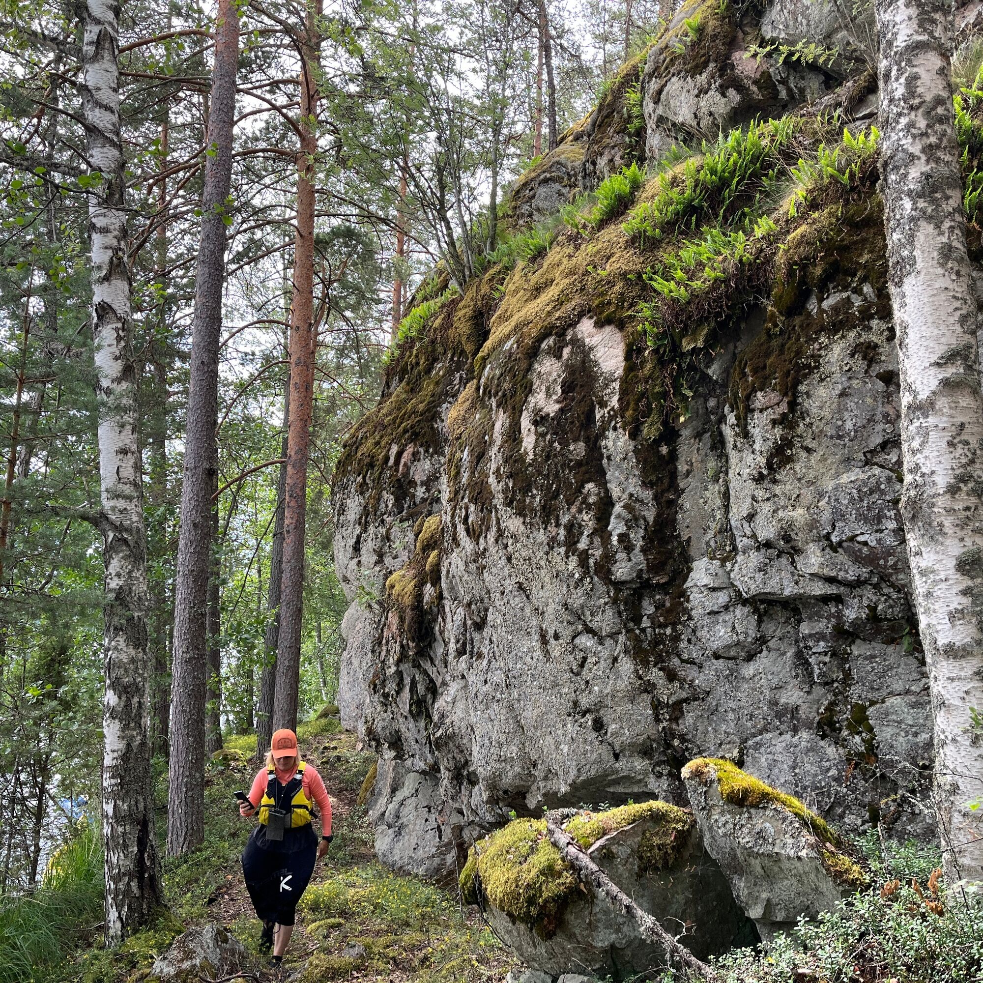
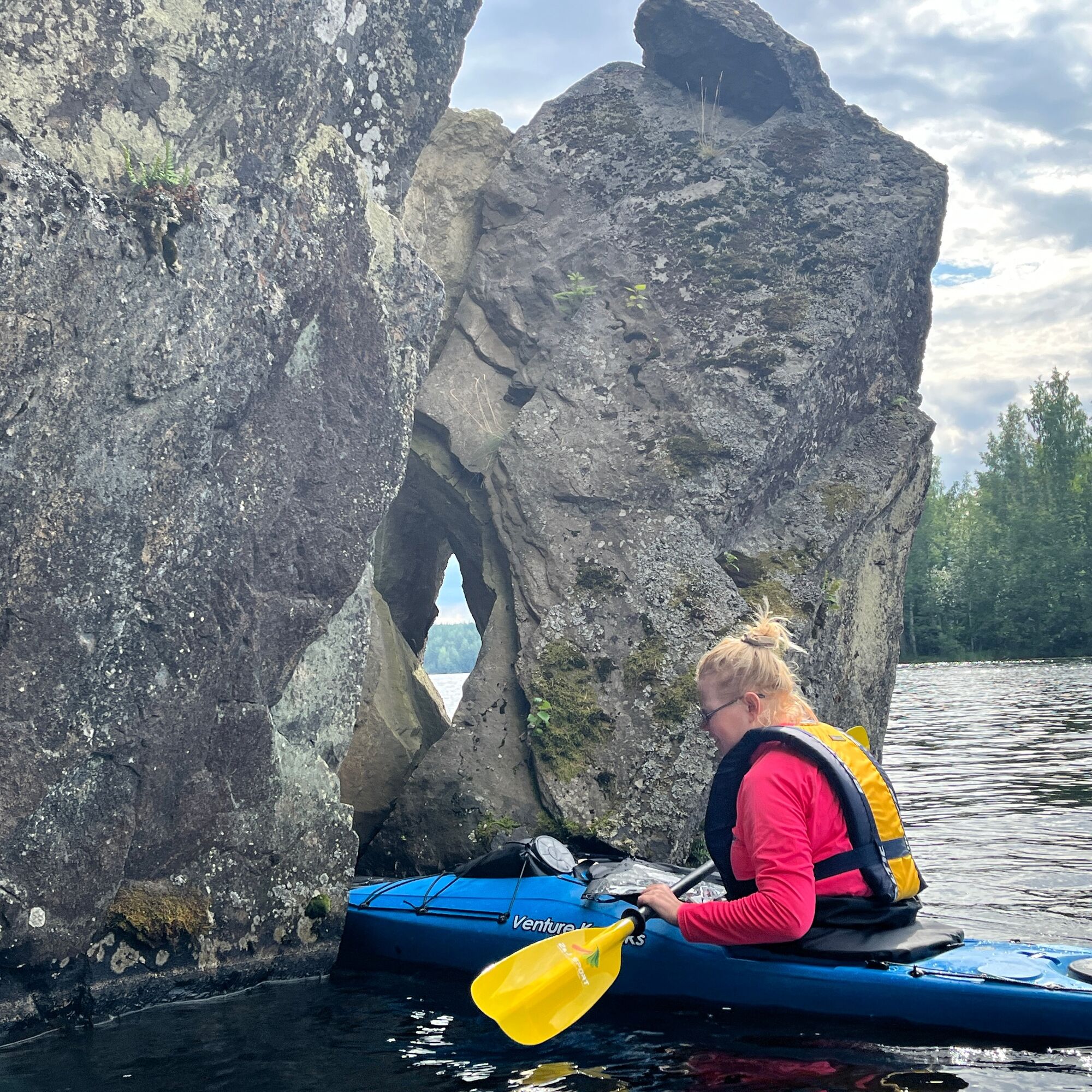
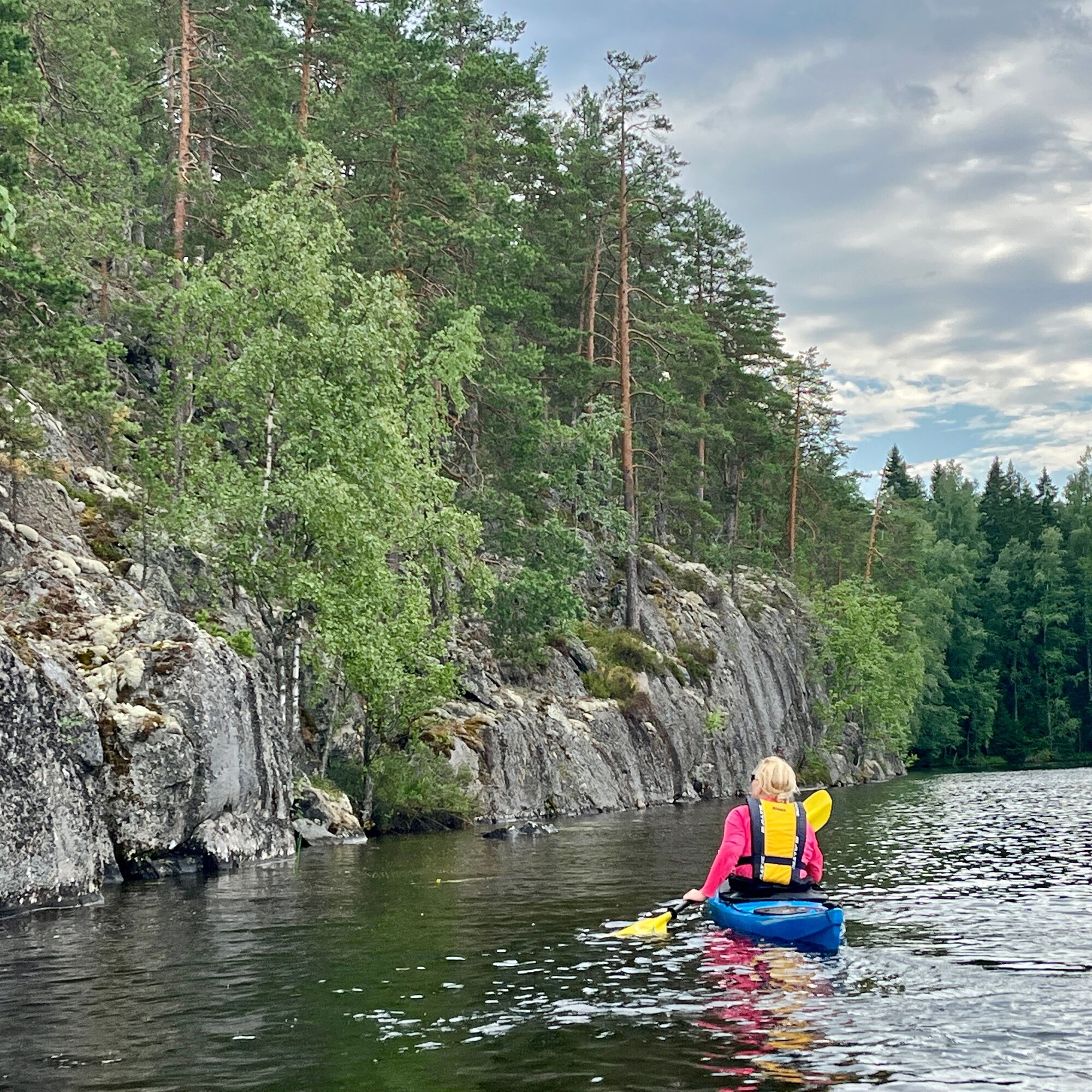
As a shorter route option, you can circle only around Rautsaari in a small island circuit, about 12-13 km long. The northern and northwest tips of Rautsaari have truly spectacular rock cliffs, and at the northwest tip also a "nearly paddle-throughable cliff."
For a longer trip, even lasting several days, you can head northeast from Konniselkä, from where Sulkavankoski provides a connection to Mäntyharju water routes. Or you can go south via Vuolenkoski towards Kymenkäänne and further through a chain of small lakes and rivers towards Lahti's Kymijärvi, or alternatively via the Kimola canal towards Iitti.

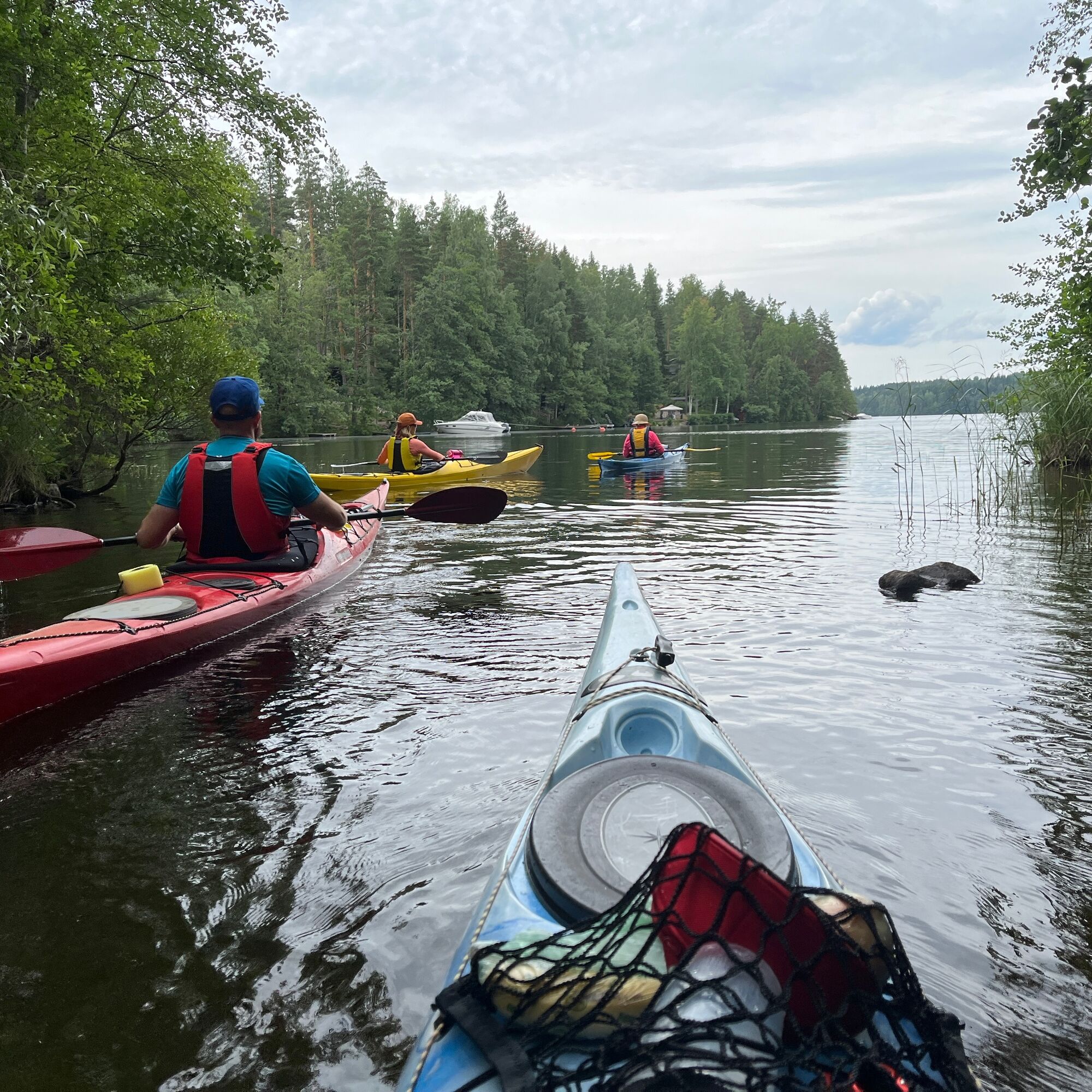

The route is not marked on the water but is a suggested example route.
Always check the condition of your equipment.
Kayak, canoe, and rowboat are suitable equipment.
Mandatory gear: life jacket, spray cover, whistle, and either a bilge pump or sponge.
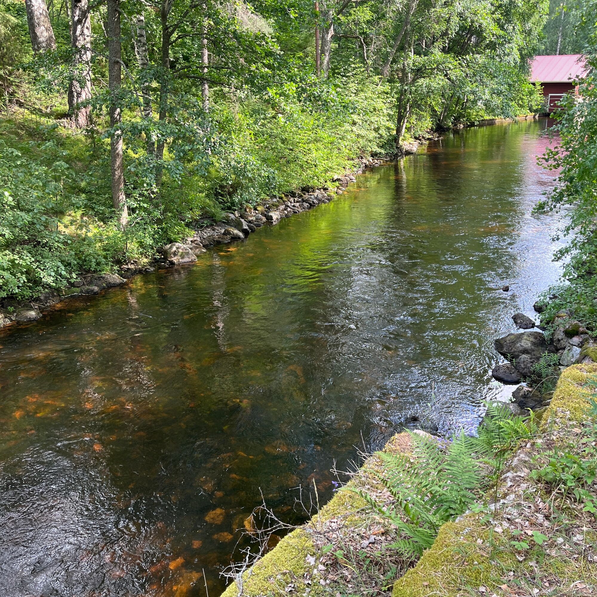
The strong current of Jyrängönvirta also affects the north and east sides of Koskensaari. NOTE! The current strength varies depending on the season and Päijänne water releases.
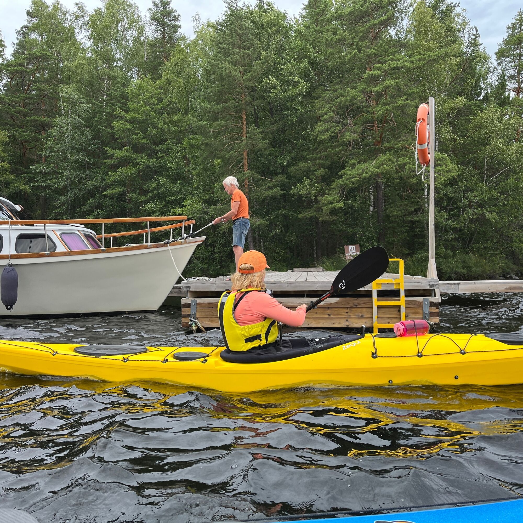
Watch out for busy boat traffic and stay outside the fairways. Koskensaari is safer to circle from the west side narrow passage.
There is parking available at the Jyrängön beach and boat harbor area. Some spots have time limits.
5
A small sandy cove next to the shore shelters and church boat at Siltasaari café is suitable for landing.
A skilled river paddler can also paddle in Jyrängönvirta. NOTE! The current strength varies depending on the season and Päijänne water releases. Going upstream is along the eastern side of Siltasaari, i.e., the flow on the town side, passing under the old stone bridge right at the edge of the island (or carrying your equipment under the bridge along the island’s edge). Downstream goes along the island's west side flow, i.e., the flow on the Forskulla manor side.
Near the start/finish point is Koskensaari lean-to shelter in a magnificent lake scenery.
From the steep rock face of Karhusaari’s Kylkiäinen, you can look for rock paintings or climb to Laivasaari to search for an old border stone.
The trip is crowned by ice cream or coffee with pastries at Siltasaari – but beware of the current in Jyrängönvirta. Of course, at the very end of the trip, go swimming!
Obľúbené výlety v okolí
-
Three rock painting route, Vuolenkoski
strednáKajak / Kanu 20,5 km -
Rautvuori - short circular route, Heinola
strednáTuristika 2,11 km -
Korvenlampi route, Heinola
strednáTuristika 13,8 km -
Hevossaari loop, Heinola
svetloKajak / Kanu 9,78 km -
Tähtisilta island circuit, Heinola
strednáKajak / Kanu 10,5 km -
Tornimäen polku, Heinola
strednáTuristika 13,0 km -
Kimola Canal nature route
strednáTuristika 4,24 km -
Koskensaari nature trail, Heinola
svetloTematická trasa 2,66 km -
Heinola swing 17 km
svetloCyklistika 17,1 km -
Sataoja nature trail, Heinola
svetloTematická trasa 5,70 km
Turistika a stopovanie


Nenechajte si ujsť ponuky a inšpiráciu na ďalšiu dovolenku
Vaša e-mailová adresa bol pridaný do poštového zoznamu.





