




Kannaksen route, Paistjärvi recreation area, Heinola

The Paistjärvi area is part of the national shore protection program and one of the highlights of the Salpausselkä UNESCO Global Geopark. The area’s rich geological foundation is visible in the landscape...
The Paistjärvi area is part of the national shore protection program and one of the highlights of the Salpausselkä UNESCO Global Geopark. The area’s rich geological foundation is visible in the landscape as rapakivi rock formations and stones, ridges, kettle holes, and clear waters. These can also be admired along the Kannaksen route. Highlights include the scenically impressive Kuijärvi ridge, which is about 3 km from the parking area. From the narrow isthmus, you can admire the magnificent views of Saarijärvi to the east and the beauty of Kuijärvi to the west. The path continues around the Kalaton pond and returns from the Kuijärvi isthmus via the Harjulampi campfire site towards the Sonnanen parking area.
The Paistjärvi area is managed by Metsähallitus Nature Services. Trails and service structures are maintained by the city of Heinola.

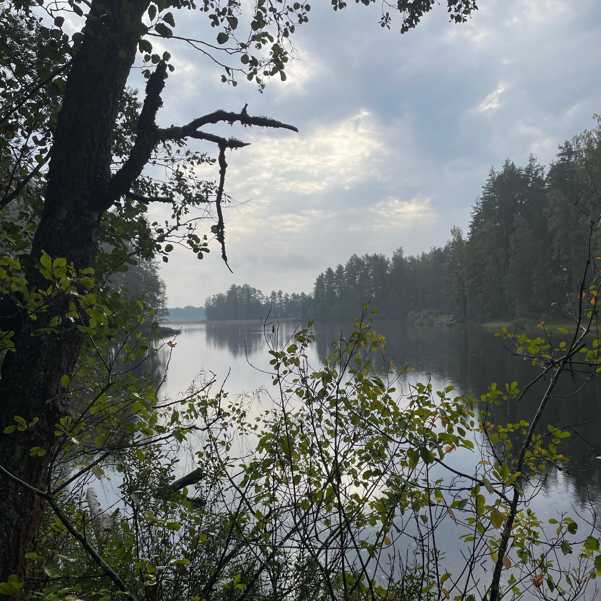
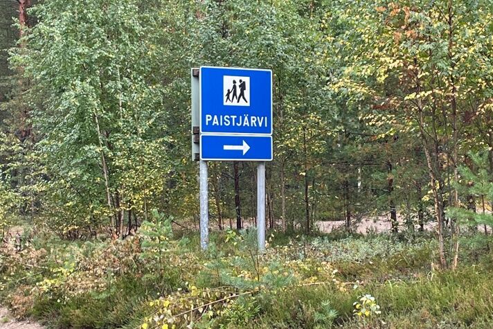
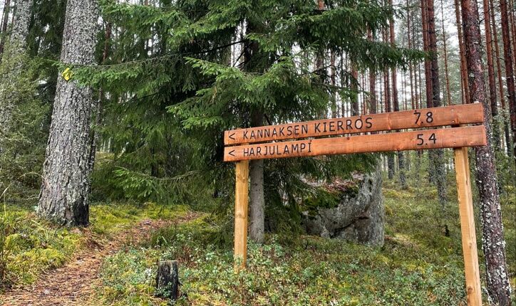
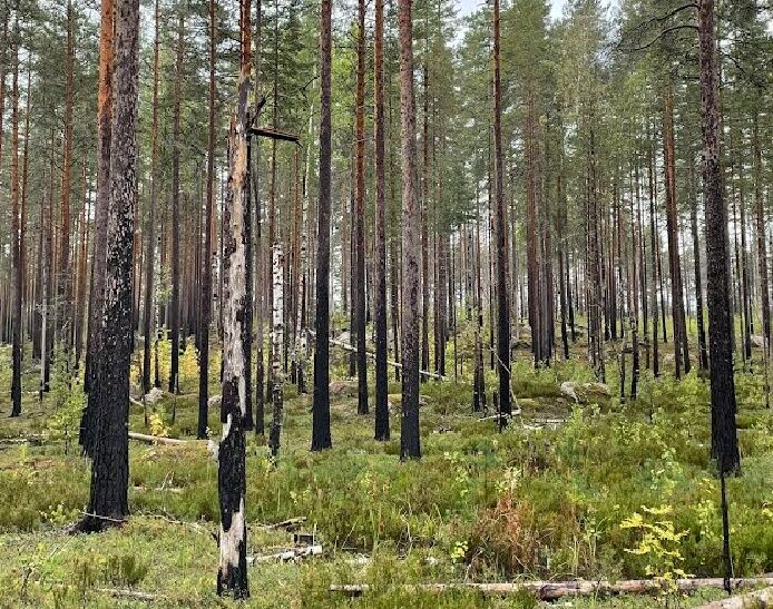
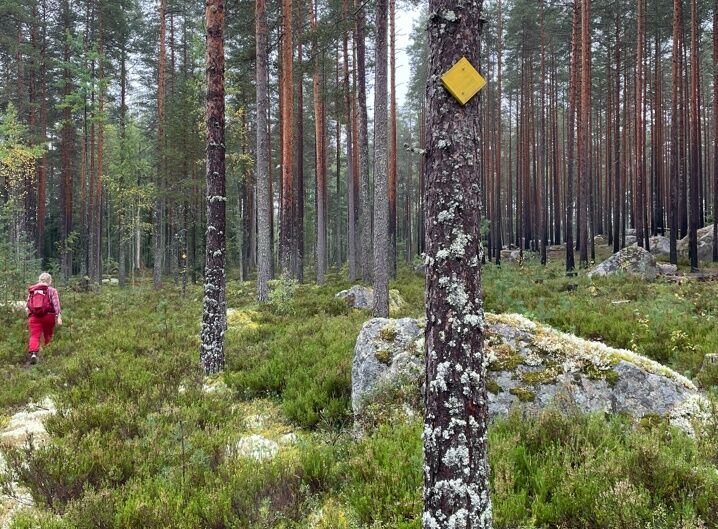
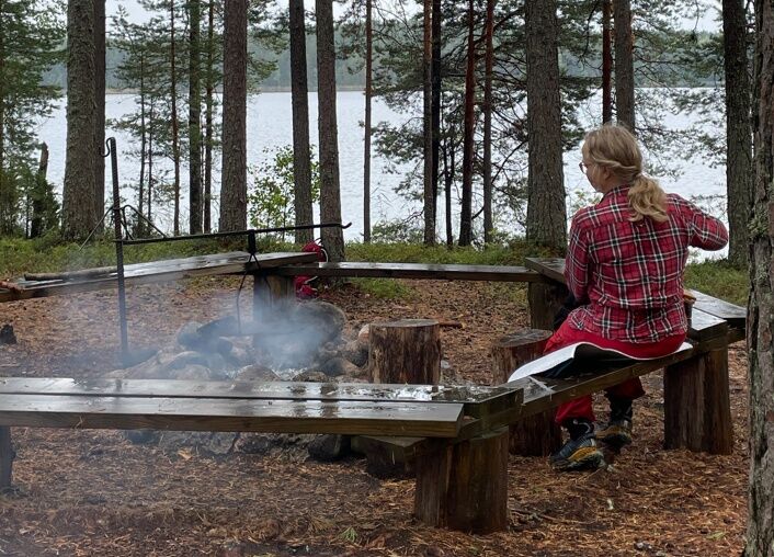
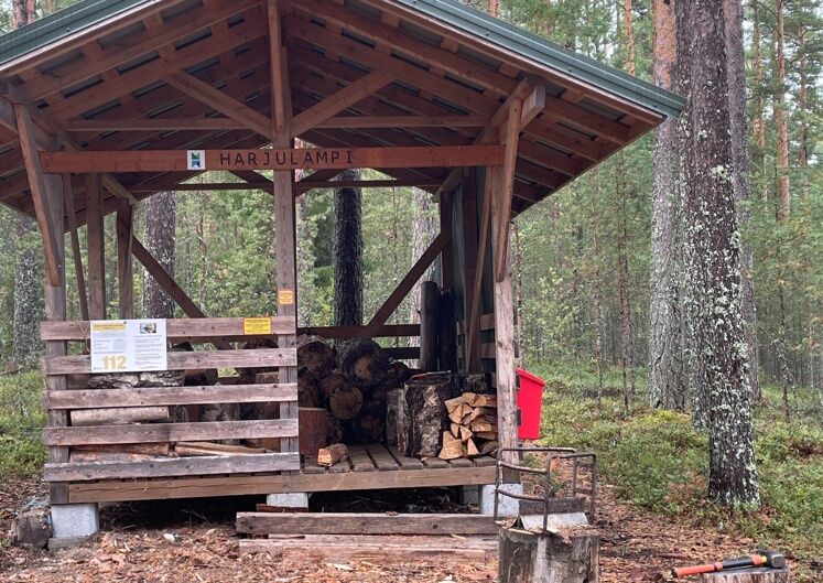
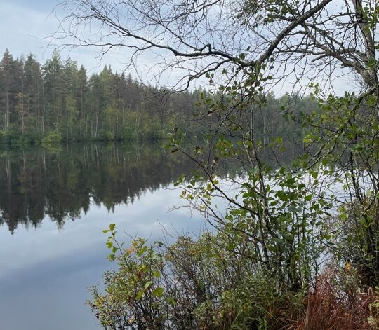
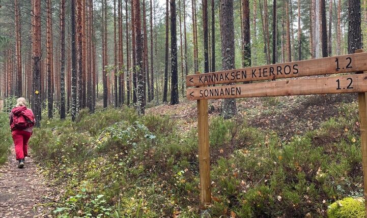
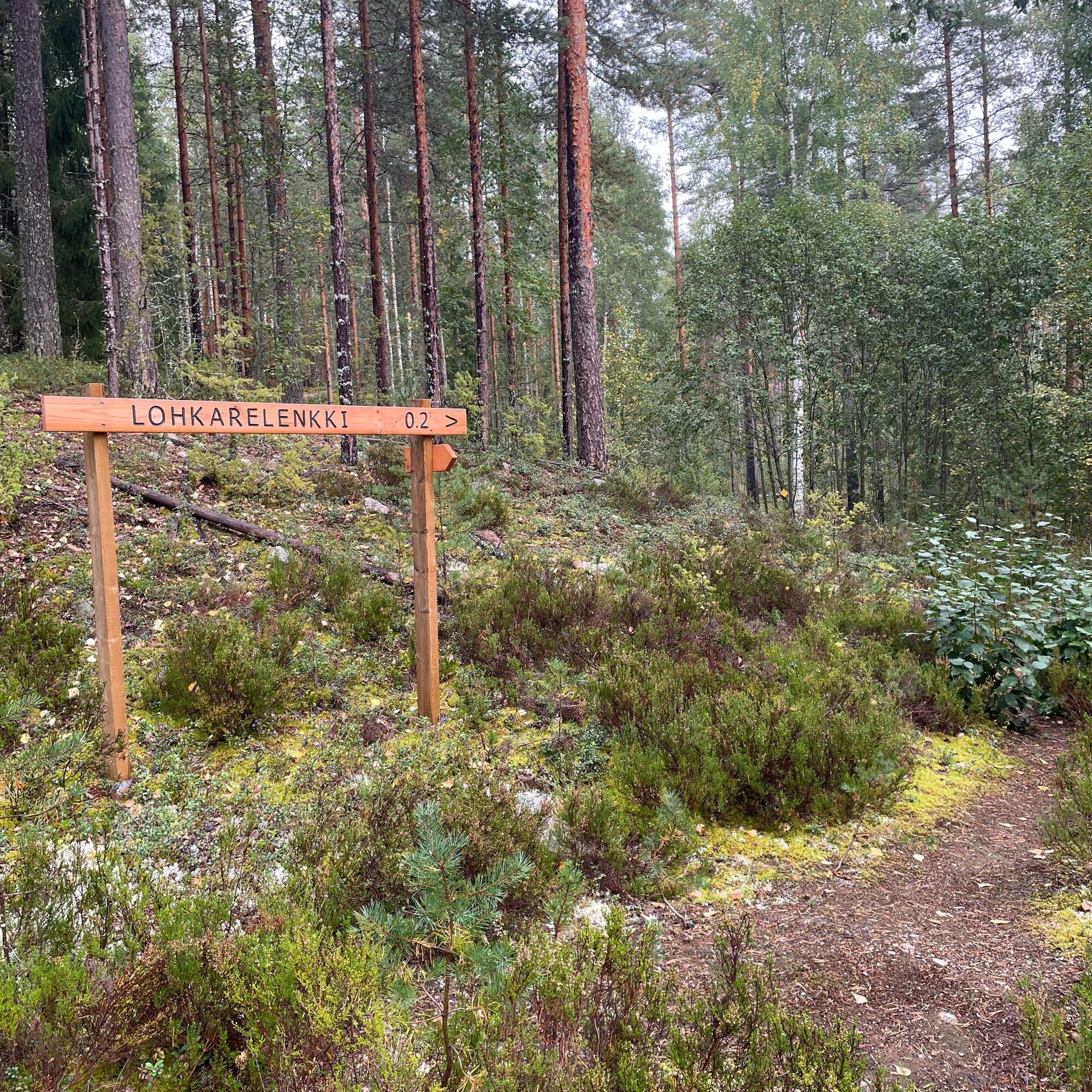

Kannaksen route is a circular trail, with the recommended direction being counterclockwise starting from the Sonnanen parking area. When leaving the Sonnanen parking lot, follow the signs to Kannaksen route. The path is marked with yellow trail markers. The scenically impressive Kuijärvi isthmus is about 3 km from the parking area. From the narrow isthmus, you can admire the magnificent views of Saarijärvi to the east and the beauty of Kuijärvi to the west. The trail continues around Kalaton pond and returns from the Kuijärvi isthmus along the route towards the Harjulampi campfire site. It is about 5.5 km from the Sonnanen parking area to Harjulampi, and continuing from the rest spot back to Sonnanen is about 2.2 km.
Áno
Weather-appropriate gear. In summer, running shoes are sufficient on the trail.
For making fires, bring a knife and your own matches. Fire places have wood supply.
The circular route is marked on the ground with yellow markers.
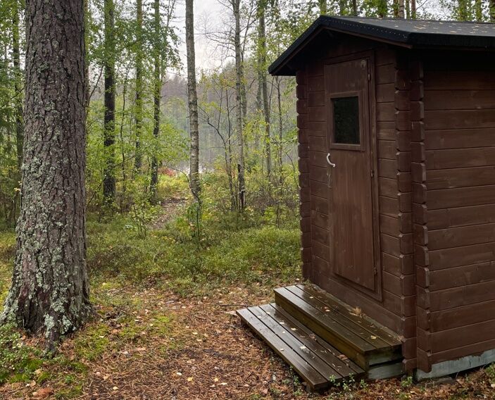
At the Harjulampi campfire site, there is a dry toilet and wood storage. No winter maintenance.
A road (no. 46) branches north from Heinola town center towards Kouvola. Drive 5 km on this road and turn left onto the Mäntyharju - Heinola road (no. 4143) towards Voikoski. Drive about 20 km until there is a sign on the right for the Sonnanen parking area.
The Paistjärvi area is located east of highway 5. The distance from Heinola town center to Paistjärvi is 20 km, from Mäntyharju town center 25 km. It is about 55 km from Lahti, 63 km from Kouvola, and about 67 km from Mikkeli via Mäntyharju.
The Paistjärvi area is located east of highway 5 (E75) in the eastern part of Heinola. There is no public transport to the area.
Free parking at the Sonnanen parking area.
If desired, you can also start the Kannaksen route from Ketturiuta, making the total length 9.8 km, or you can make a round trip detour to the Ketturiuta rest area from Kannaksen route. Along the trail, you can also detour to a short but interesting boulder loop, which goes around magnificent glacial erratics.
Obľúbené výlety v okolí
-
Pirunkirkko Cave, Paistjärvi Area
strednáTuristika 4,37 km -
Sonnanen-Harjulampi-Ketturiutta, Paistjärvi recreational area
svetloTuristika 4,52 km -
Kouvola - Pitkäniemi - Heisanharjun varauskota
svetloTuristika 2,78 km -
Nurmaa - Vanhakorpi - Pökölä - Paljakka
ťažkéMountainbike 68,3 km -
Mäntyharju - Nurmaa - Jäniskylä - Alho
strednáMountainbike 57,8 km -
Kouvola - Heisanharju - Heisanharjun varauskota - Pitkäniemi
svetloTuristika 4,38 km
Turistika a stopovanie


Nenechajte si ujsť ponuky a inšpiráciu na ďalšiu dovolenku
Vaša e-mailová adresa bol pridaný do poštového zoznamu.





