







ALMESE - Musinè Bike Trail - "Guardie" Route

Úroveň náročnosti: S3
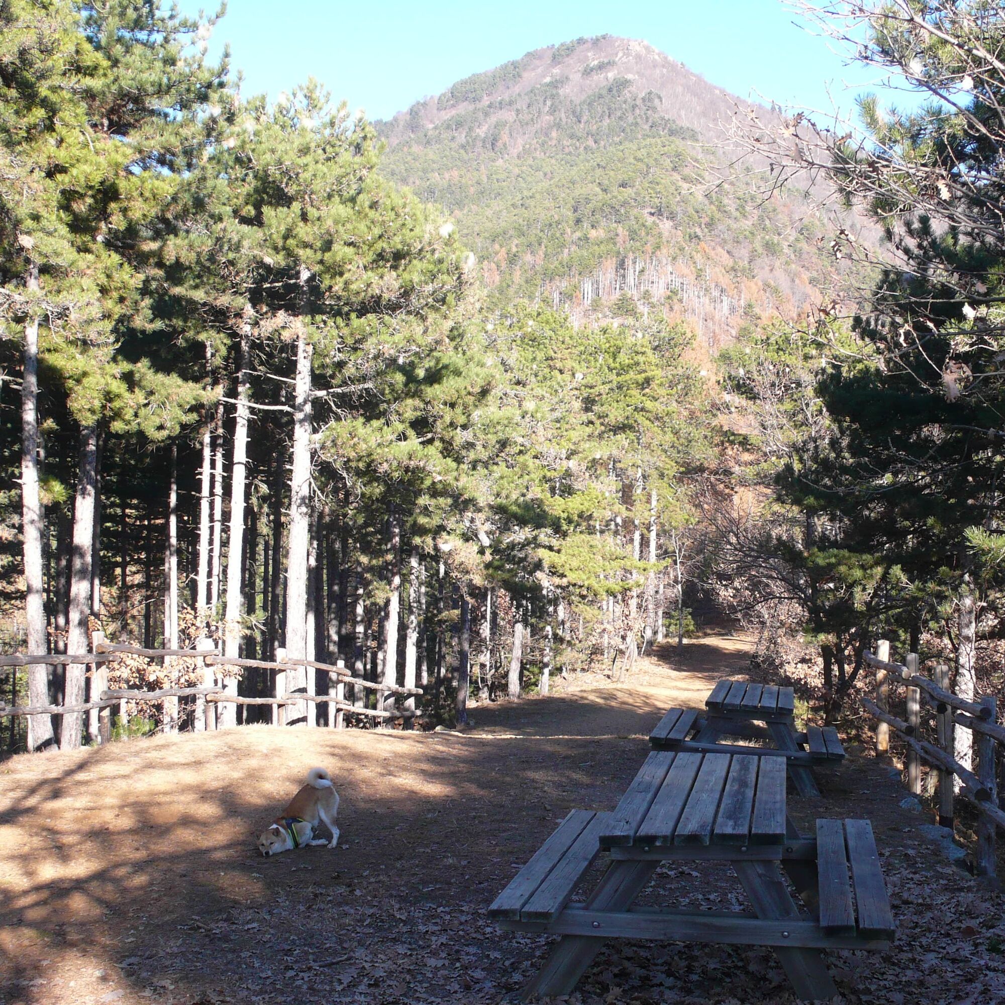
The circuit, starting from the locality Pera Pluc, begins with a nice and demanding climb on a forest road of about 400 D+, followed by a technical descent, near the Borgata Passera, at about 650 meters.
From...
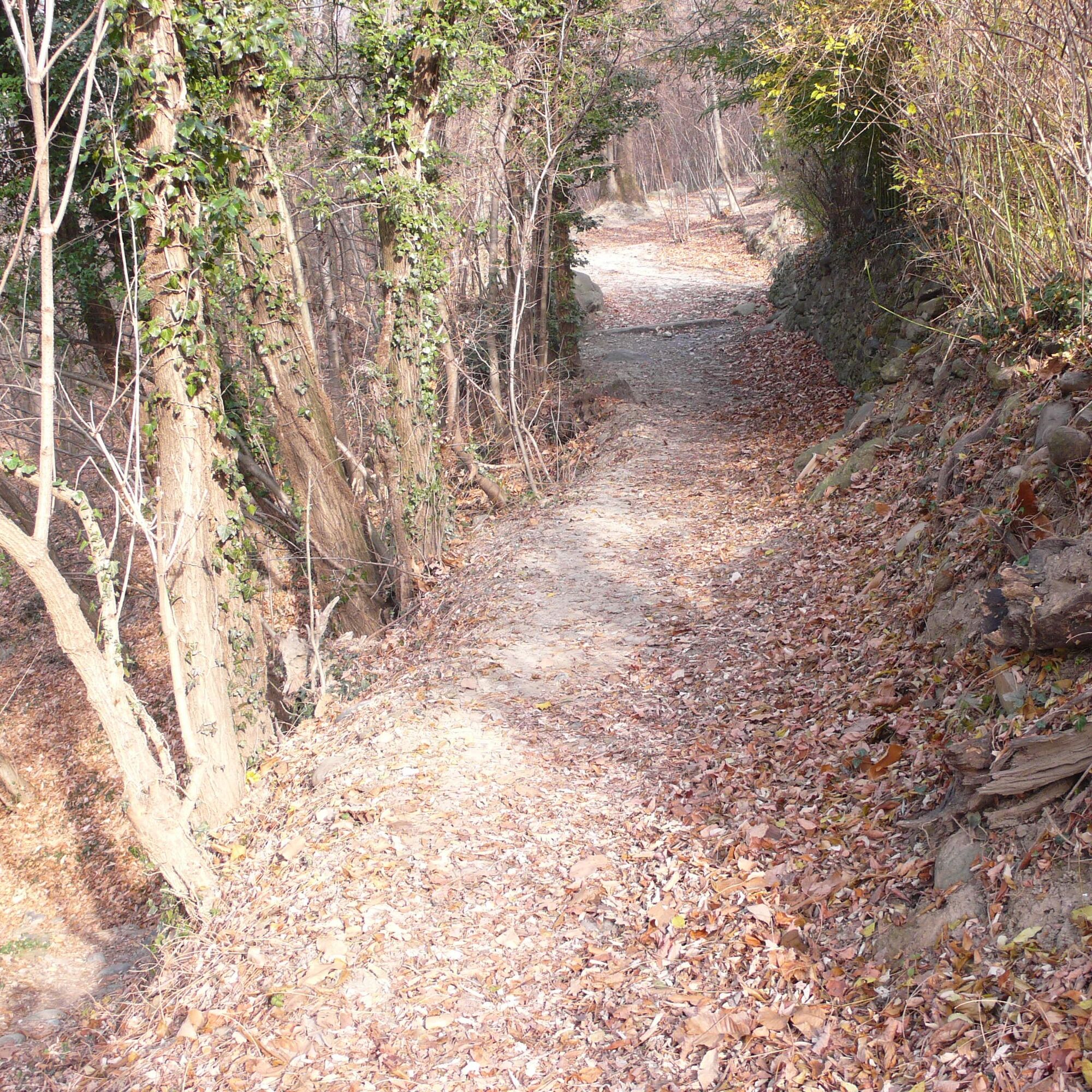
From here a short stretch on a dirt road and another technical descent on a trail to Borgata Molino. Always on a trail, the course of the Messa Stream descends on its left orographic side, with a couple of exposed passages, until it intersects the forest track leading to Borgata 'Gamba ad Bosc' from where the route ends on an asphalt road.


From the center of Almese, follow via Sonetto and the firebreak track to the locality Per Pluc.
Sp 198 from sp197 and Avigliana west exit of the A32
Via Alma Bertolo, Almese
Piazza della Fiera, Almese
S3
Just over 8 km for a positive elevation gain of 400 m. Hiking difficulty, technical on MTB, average travel time 2.00 h (excluding stops).
Obľúbené výlety v okolí
-
4,7
On the summit of the magical Musiné
svetloTuristika 6,94 km -
Avigliana Lakes - Easy route, ideal for families with children
svetloTuristika 9,25 km -
CASELETTE - The Musiné loop
strednáTuristika 7,52 km -
COLLE DEL LYS Partisan Trail
strednáTuristika 11,6 km -
MONASTEROLO Ca' Bianca and Big Bench
svetloTuristika 4,13 km -
VALLO TORINESE Passo della Croce and the Turu
strednáTuristika 4,29 km -
GIVOLETTO Madonna della Neve on Monte Lera
strednáTuristika 6,11 km -
5,0
Unspoiled woods and ancient hamlets in Valsangone - Selvaggio Loop - Bagaggera
svetloTuristika 9,08 km -
VARISELLA The ruins of the Baratonia castle, churches, and pools of Varisella
strednáTuristika 10,1 km -
COLLE DEL LYS Monte Arpone loop
svetloTuristika 4,50 km
Turistika a stopovanie


Nenechajte si ujsť ponuky a inšpiráciu na ďalšiu dovolenku
Vaša e-mailová adresa bol pridaný do poštového zoznamu.





