



Val Thuras and Tornior bivacco (Cesana T.se)

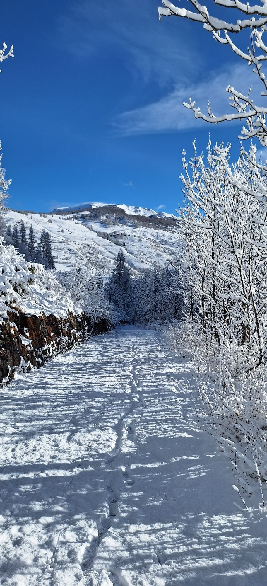
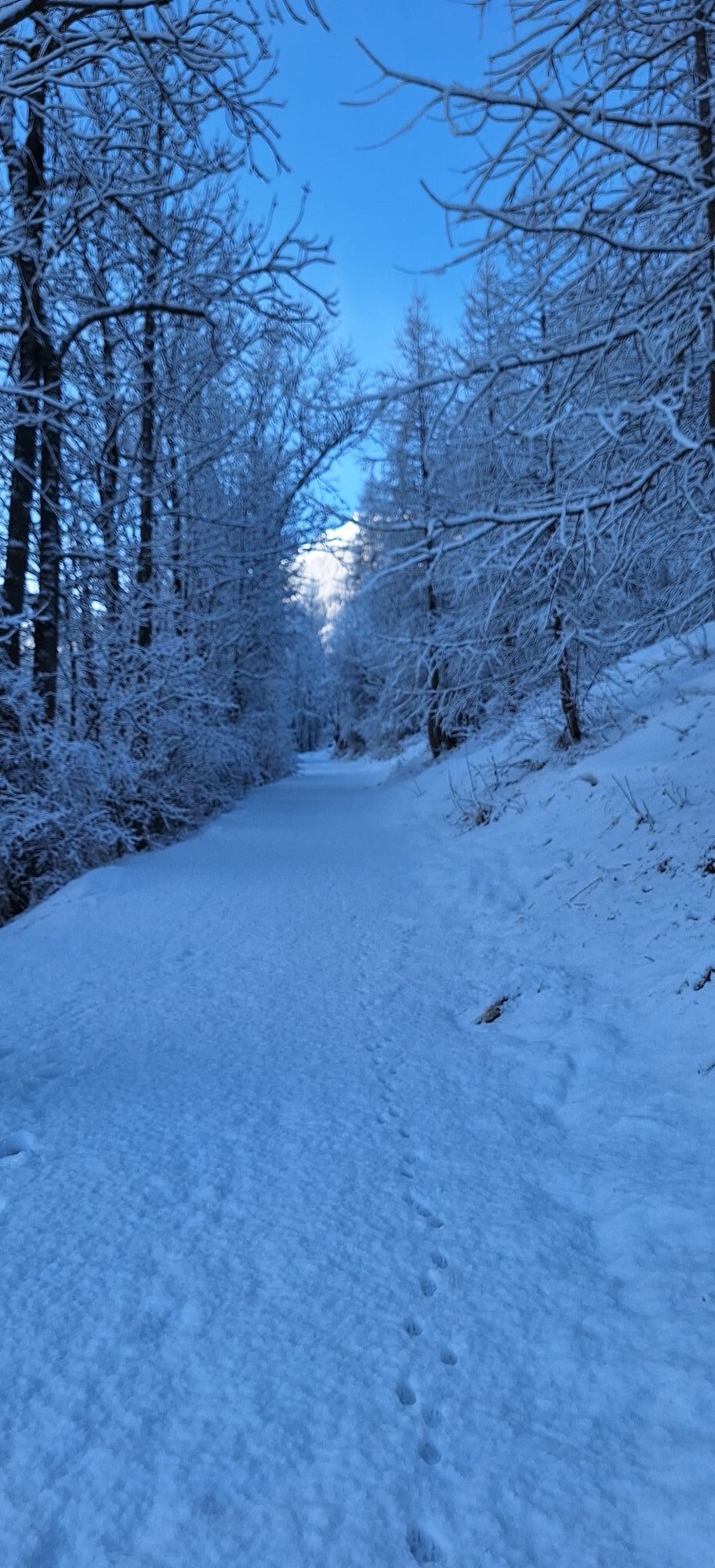
For those who would like to experience the thrill of sleeping in a mountain bivouac, this might be the right opportunity!
A medium-difficulty route, departing from the center of Cesana T.se, which via...
For those who would like to experience the thrill of sleeping in a mountain bivouac, this might be the right opportunity!
A medium-difficulty route, departing from the center of Cesana T.se, which via the path along the Ripa River leads to Bousson, where an initial slope towards Rhuilles and Val Thuras begins. From the bridge at Rhuilles, continue to the right on the military dirt road where near the Croix de la Plane chapel there are ferruginous springs, whose warm (10°C year-round), saline waters encrust debris and vegetation with iron hydroxides of characteristic red color and chalk crystals. Proceed uphill with a series of hairpin bends, pass the votive pillar of N.S. du Lau, cross the Pont de l'Asia and continue to the wide plateau where they rise to the remains of Thuras, a hamlet burned in April '44 by the Nazi-Fascists during a roundup action: only the Chapel of St. Susanna survives, recently restored by the A.N.A. A little further on is a wooden bridge: before crossing it, it is worth pausing for a moment at the plaque erected in memory of the partisans who fell in the fall of the same year under the Thuras col.. Continuing on we meet the upper Grange Thuras and, after some wooded buttresses, we have a view of the entire valley, wild and devoid of vegetation as far as the Tornior bivouac. Further on is the pass of the same name, which at an altitude of 2,800 m demarcates its border with the French Queyras.
Support and technical description by the Moon Mountain Company hiking center's cycling guides.

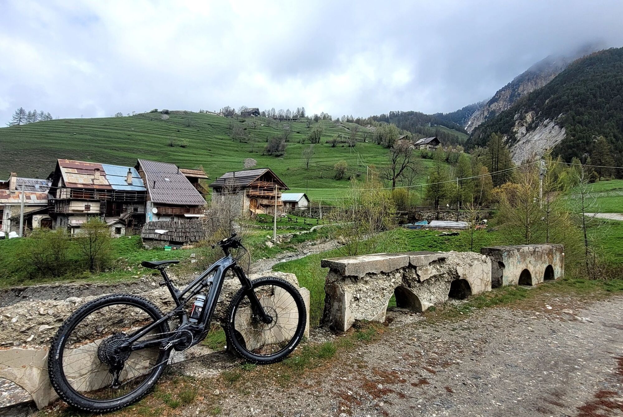
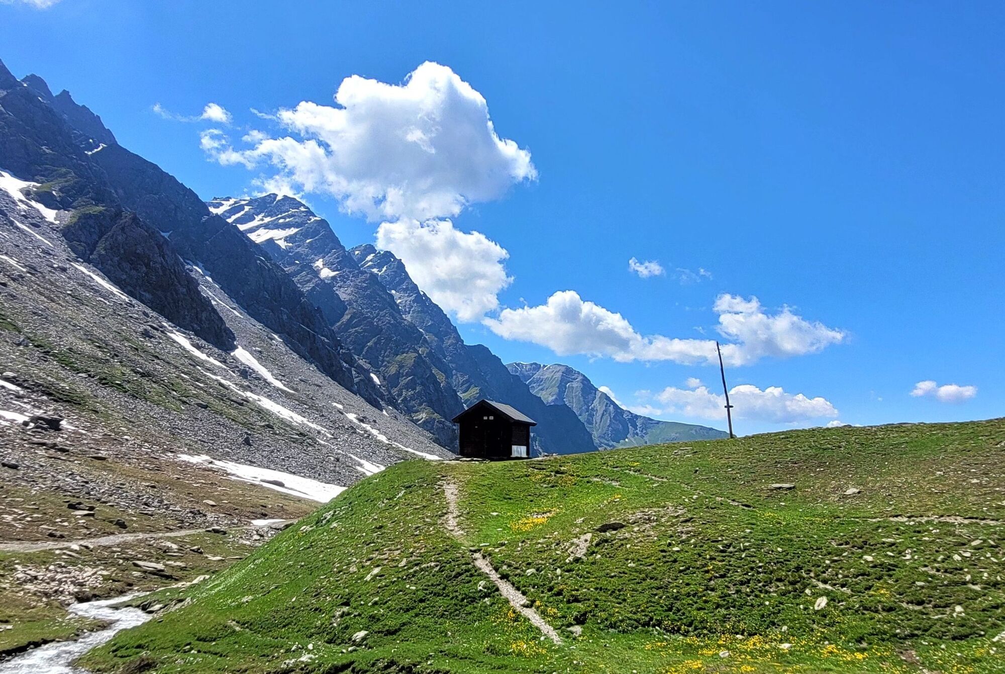
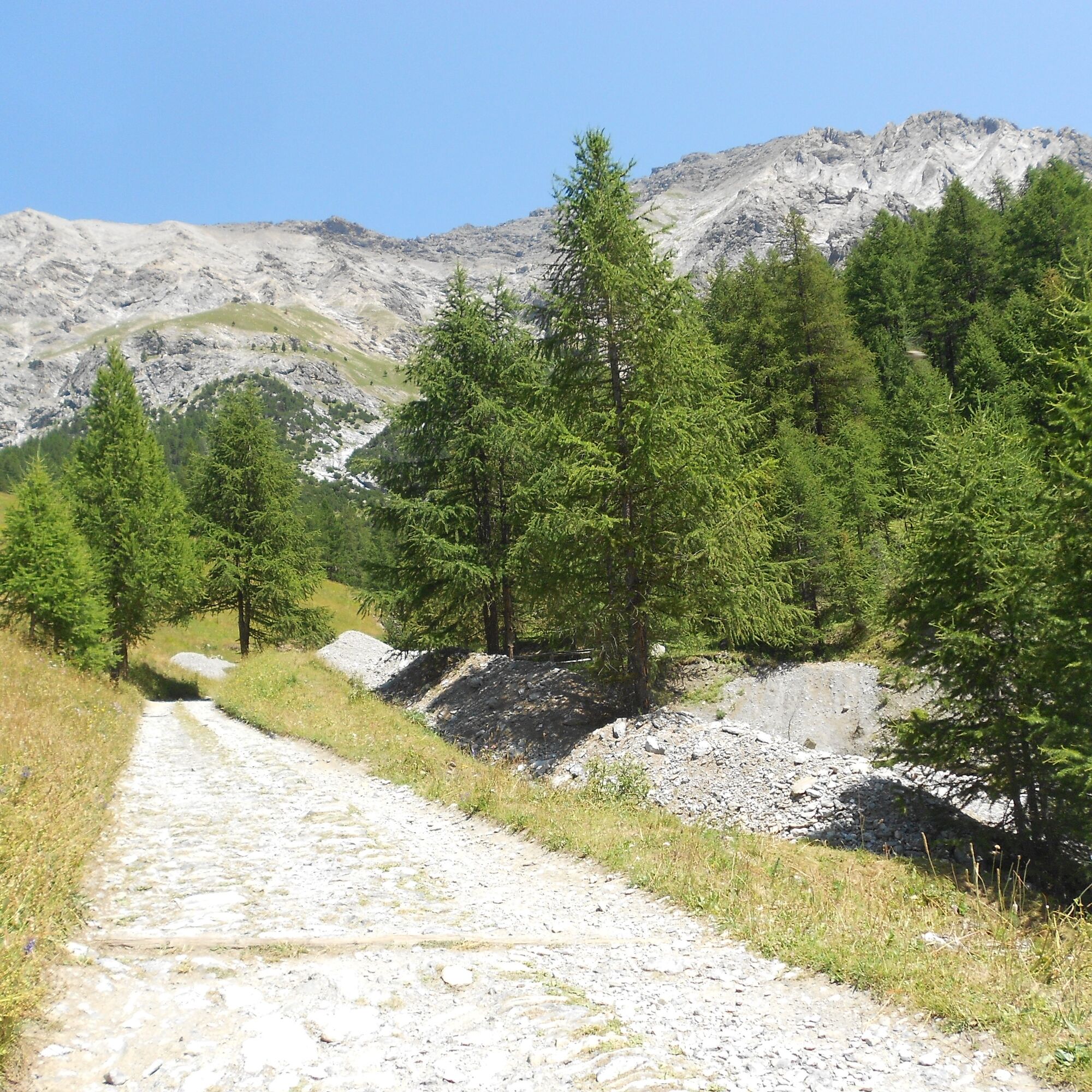
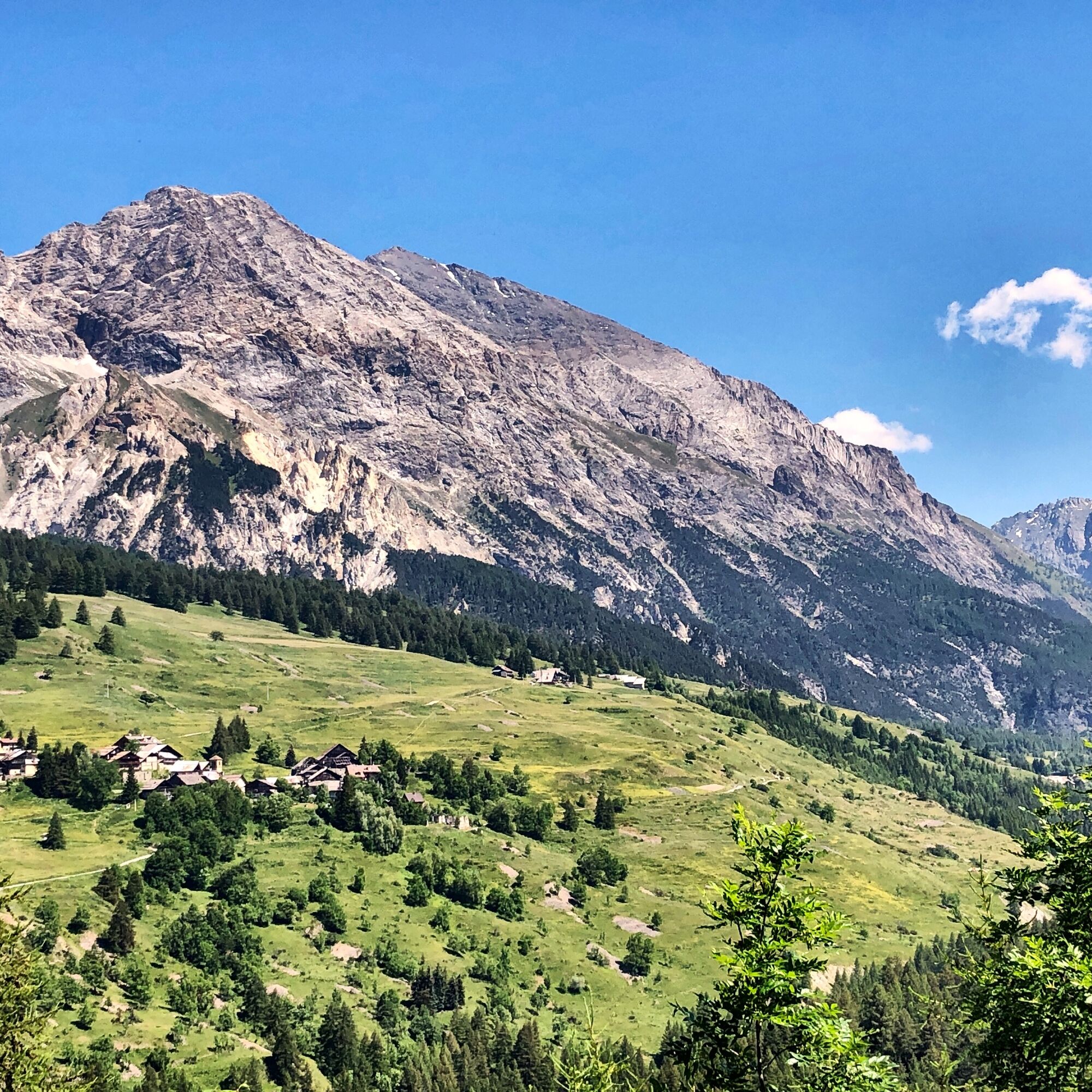
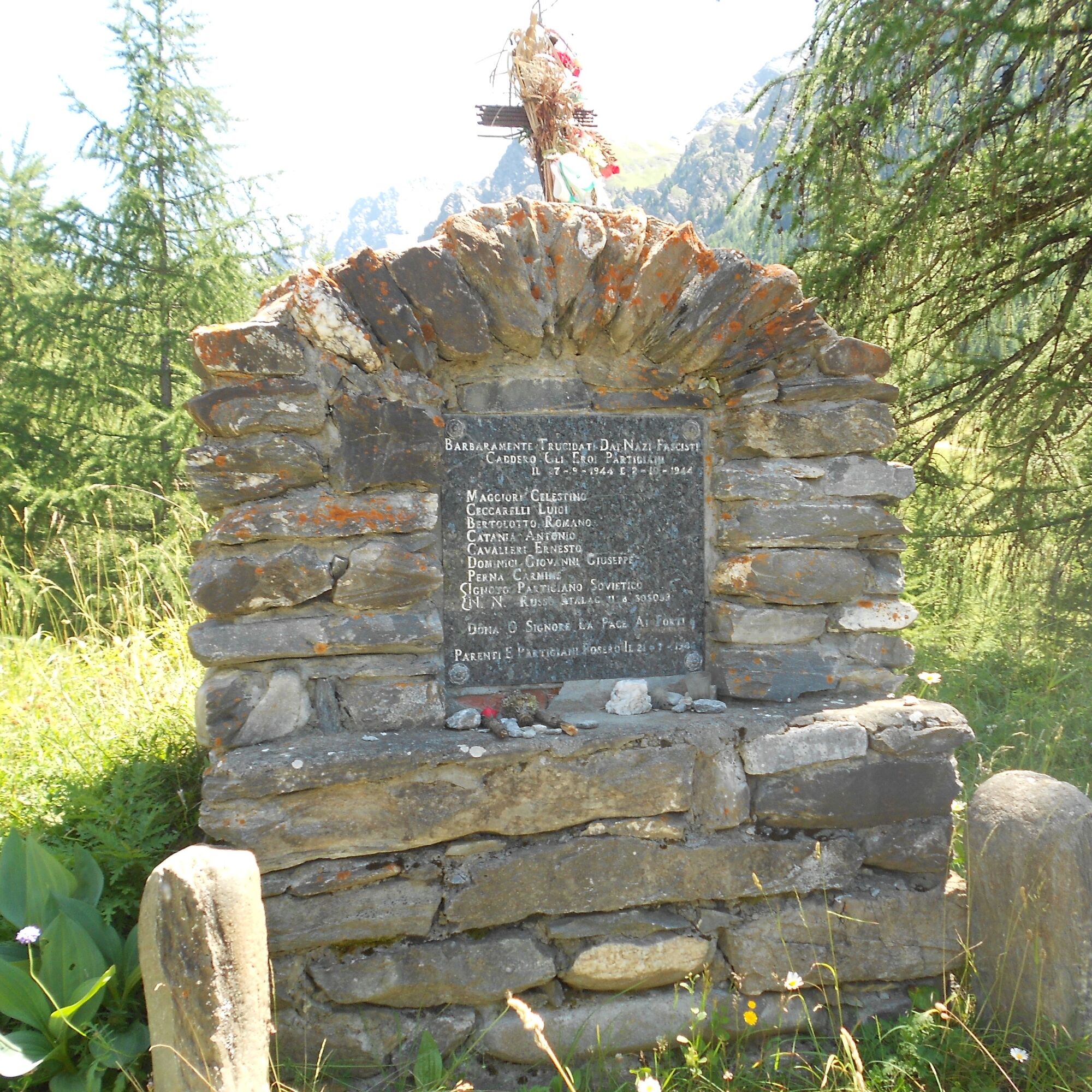
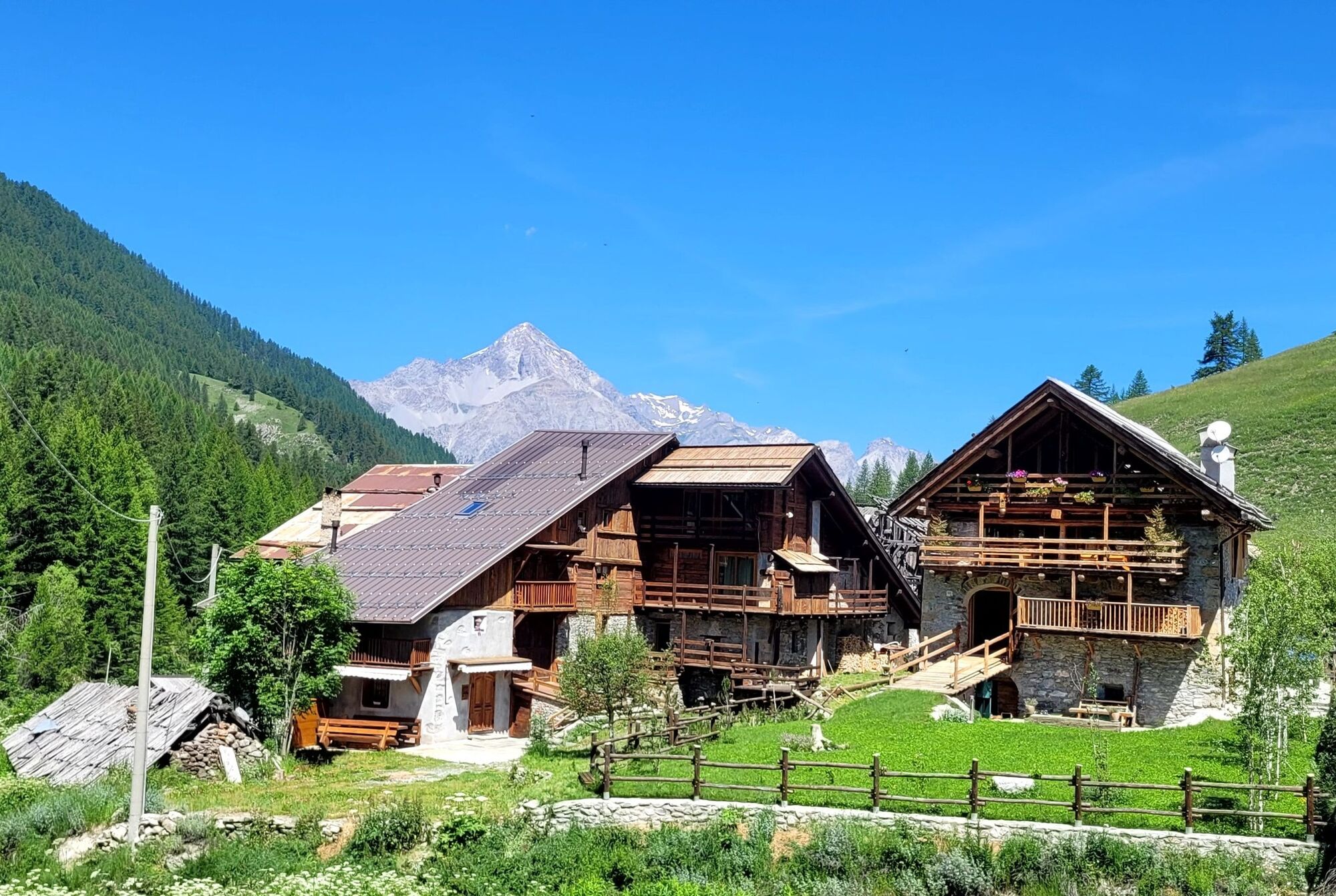
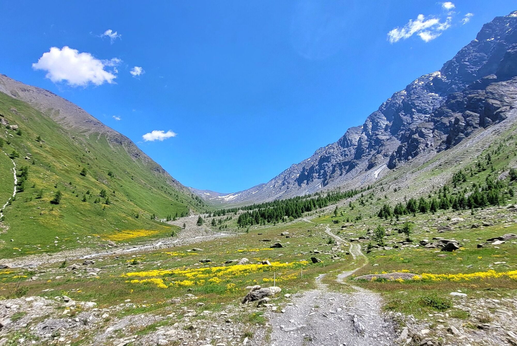
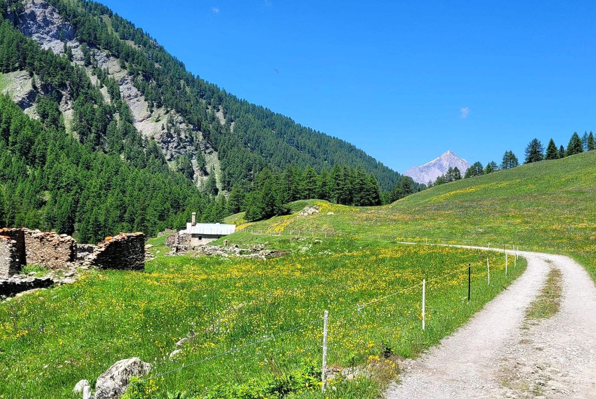
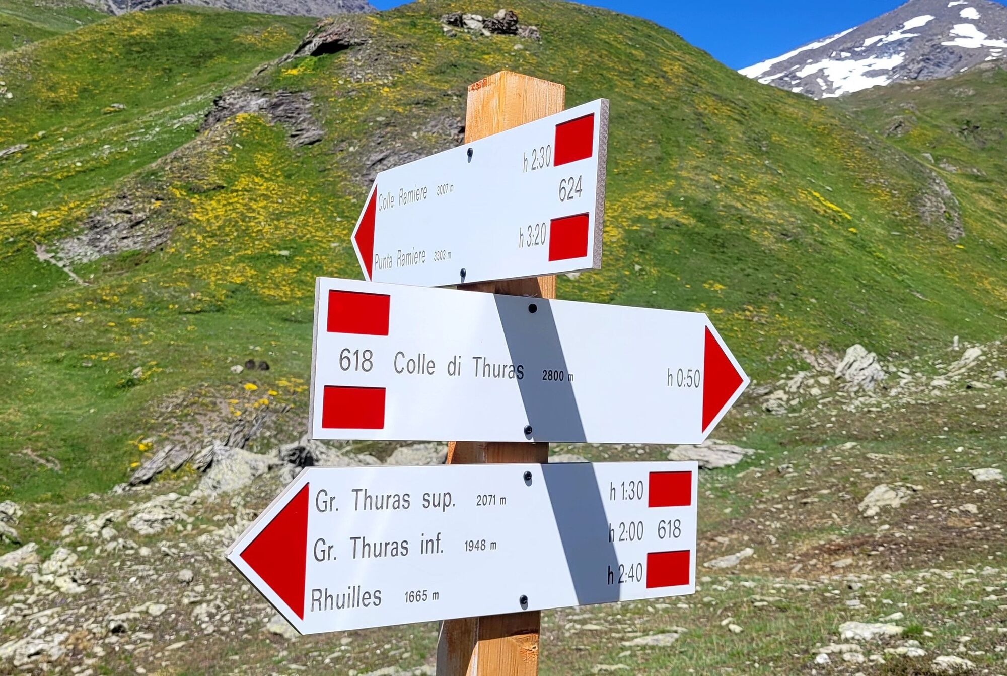
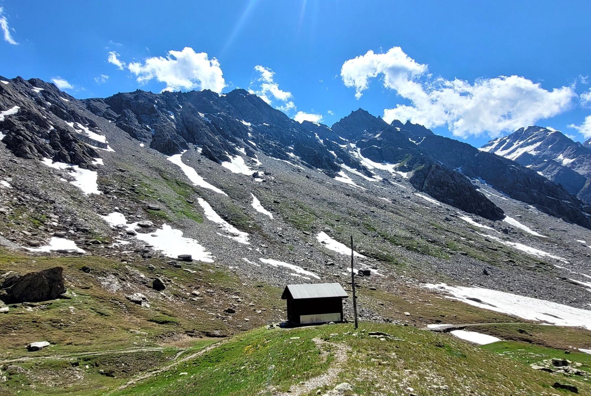

Medium-difficulty route, departing from the center of Cesana T.se, which via the path along the Ripa River leads to Bousson, where a first slope begins towards Rhuilles and Val Thuras. From the bridge at Rhuilles, continue to the right on the military dirt road where near the Croix de la Plane chapel there are ferruginous springs, whose warm (10°C year-round), saline waters encrust debris and vegetation with iron hydroxides of characteristic red color and chalk crystals. Proceed uphill with a series of hairpin bends, pass the votive pillar of N.S. du Lau, cross the Pont de l'Asia and continue to the wide plateau where they rise to the remains of Thuras, a hamlet burned in April '44 by the Nazi-Fascists during a roundup action: only the Chapel of St. Susanna survives, recently restored by the A.N.A. A little further on a wooden bridge, before crossing it, it is worth pausing for a moment at the plaque erected in memory of the partisans who fell in the fall of the same year under the Thuras col. Continuing on, one encounters the upper Grange Thuras and, after some wooded buttresses, one has a view of the entire valley, wild and devoid of vegetation as far as the Tornior bivouac. Further on is the pass of the same name, which at an altitude of 2,800 m demarcates its border with the French Queyras.
Áno
Route suitable for MTB and E-BIKE for the less trained
Road open to motorized traffic in the Thures/Rhuilles/Ponte Tourà section;
Trail shared with hikers on foot - regulate speed and pay attention.
By car from Turin, follow the signs for Tangenziale Nord in the direction of Trafori - Frejus.
Take the A32 highway in the direction of Bardonecchia and exit at Oulx -Monginevro-Sestriere.
Continue on the state highway towards Cesana Torinese.
Reachable by public transportation.
Train from Turin P.N to Bardonecchia (Oulx-Cesana-Claviere-Sestriere stop) + Arriva bus line 285 from Oulx to Cesana.
Possibility of parking shortly after Vittorio Amedeo Square, along Viale V Novembre (Bousson direction) paying attention to parking time slots or, continuing on the same avenue, at the free parking lot, in front of the ski lifts.
On a grassy knoll stands , since 2008, the Andrea Tornior bivouac: always open, well-maintained, welcoming, it has 6 beds, table and benches, small stove and more, while just below flows a stream from which it is possible to draw water. From the bivouac, with an additional stretch, it is worth climbing to the upper Thuras pass where the view opens very wide to the Queyras and to a long series of mountains that crown these valleys as far as the not far away Monviso.
The area is characterized by the geological specificities of the "Mountains born from the sea, an Interreg project started in 204 that promotes on this area a type of eco-sustainable tourism
Path shared by pedestrians, slow down and wave when you pass them.
Obľúbené výlety v okolí
-
GR®58 Tour du Queyras
strednáTuristika 114,0 km -
BARDONECCHIA - Loop Colle della Scala - Col de Montgenèvre - Colle del Sestriere
ťažkéCestný bicykel 91,9 km -
5,0
BOBBIO PELLICE Upslowtour - Ring 2 of the refuges
ťažkéCyklistika 37,6 km -
5,0
SESTRIERE Monte Rognosa
ťažkéTuristika 6,42 km -
CESANA T.SE Lago Nero - Seven Colors Lake
strednáTuristika 3,51 km -
5,0
Montée du Col Agnel (2744m)
strednáMountainbike 20,7 km -
5,0
SESTRIERE Brugnetti-Sidoti trail rhododendron loop
svetloTuristika 5,93 km -
5,0
CESANA T.SE Thures - Cima Bosco
ťažkéSnežnice 3,94 km -
CESANA T.SE Val Thuras
strednáTuristika 7,58 km -
CESANA T.SE The Lakes Route
strednáTuristika 10,2 km
Turistika a stopovanie


Nenechajte si ujsť ponuky a inšpiráciu na ďalšiu dovolenku
Vaša e-mailová adresa bol pridaný do poštového zoznamu.


