







CESANA T.SE Thures - Cima Bosco
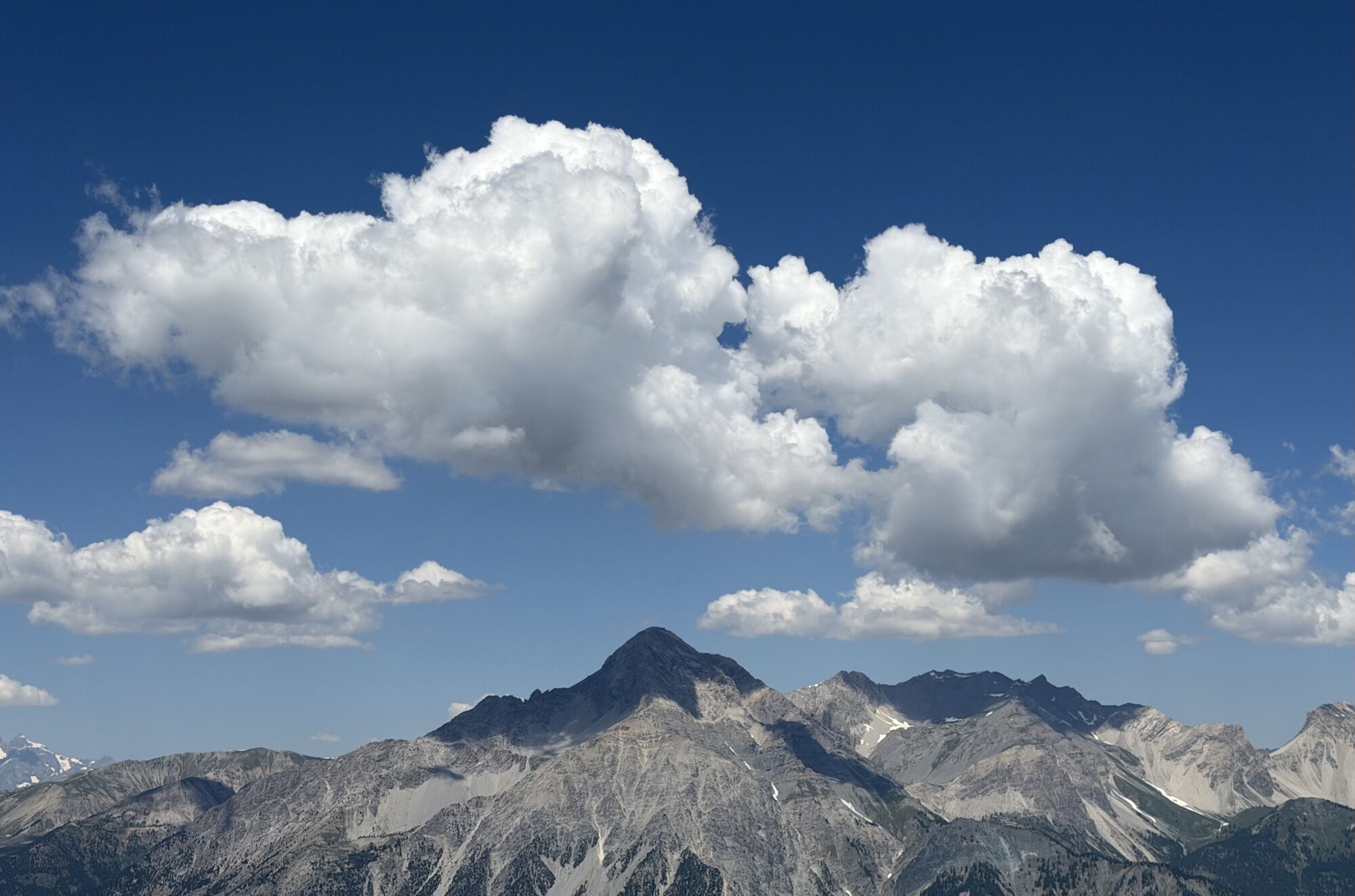
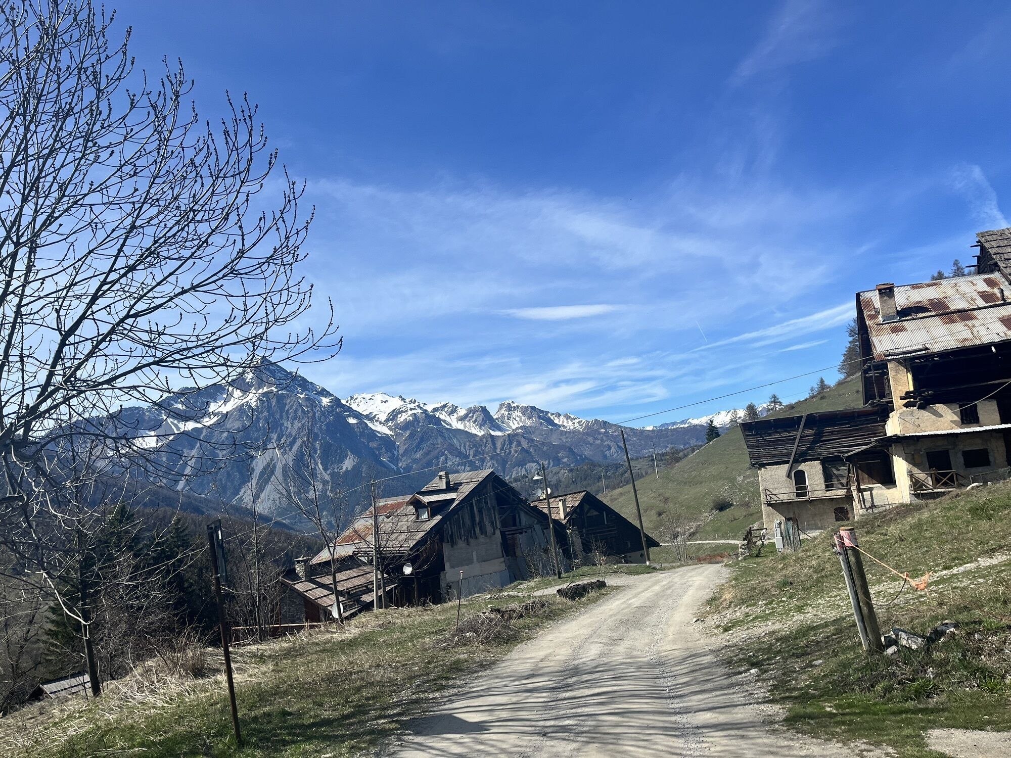
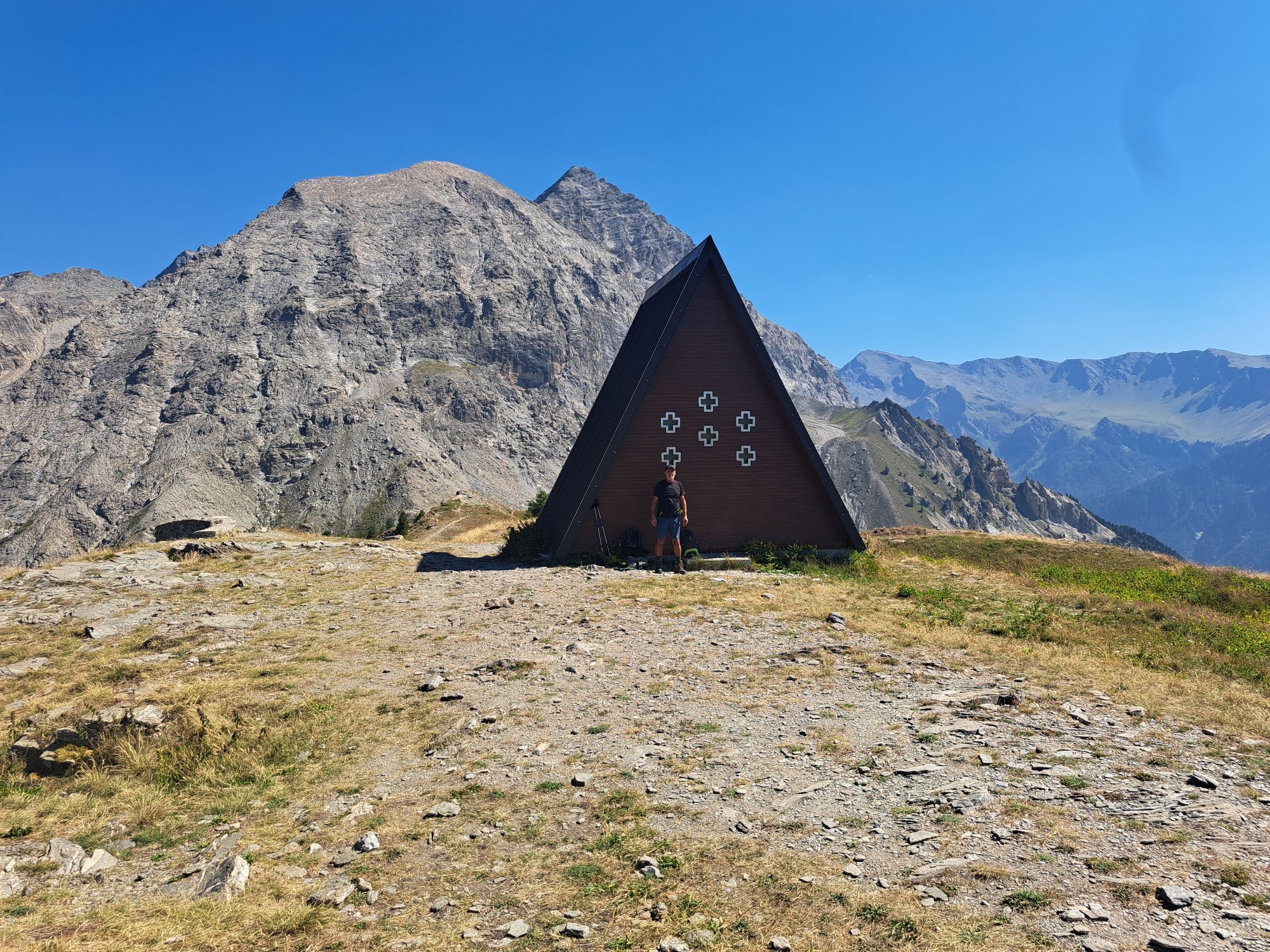
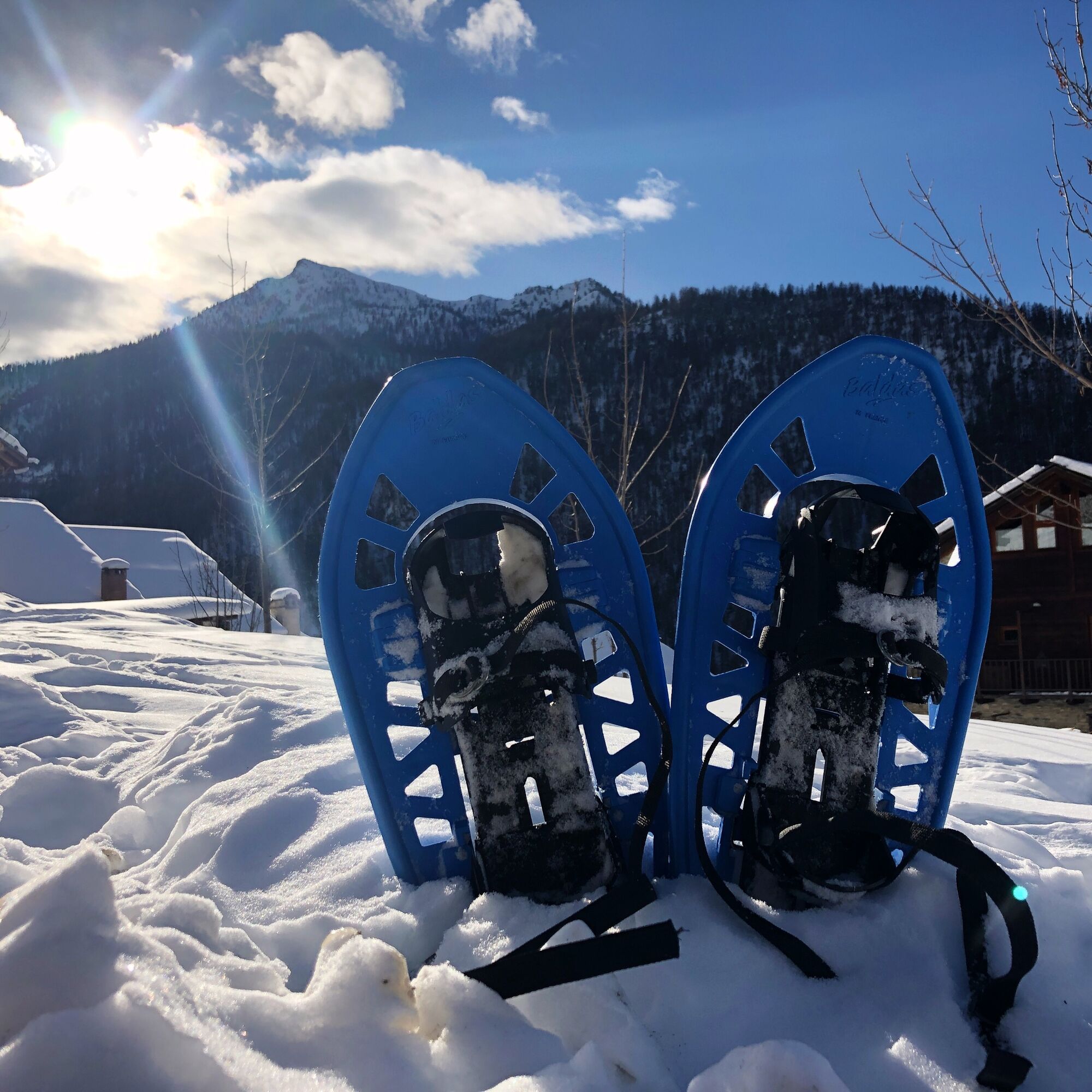
The snowshoe hike to Cima Bosco offers an exciting adventure for those with a good level of fitness and good skills to face winter hikes.
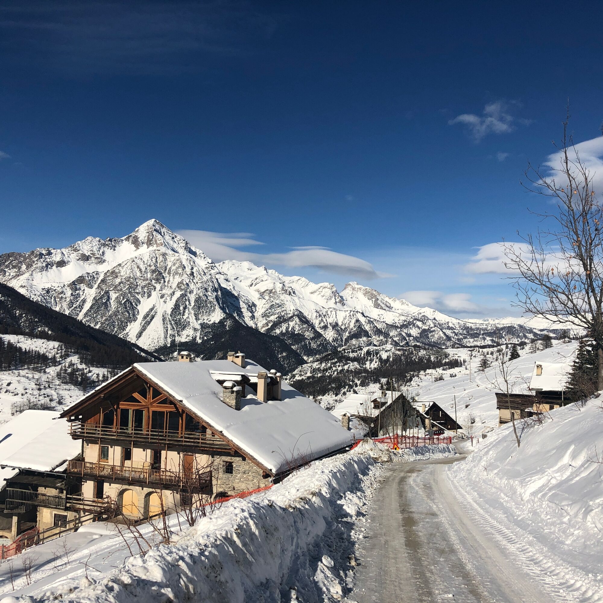
Start from the hamlet of Thures in an unspoiled environment toward...
The snowshoe hike to Cima Bosco offers an exciting adventure for those with a good level of fitness and good skills to face winter hikes.
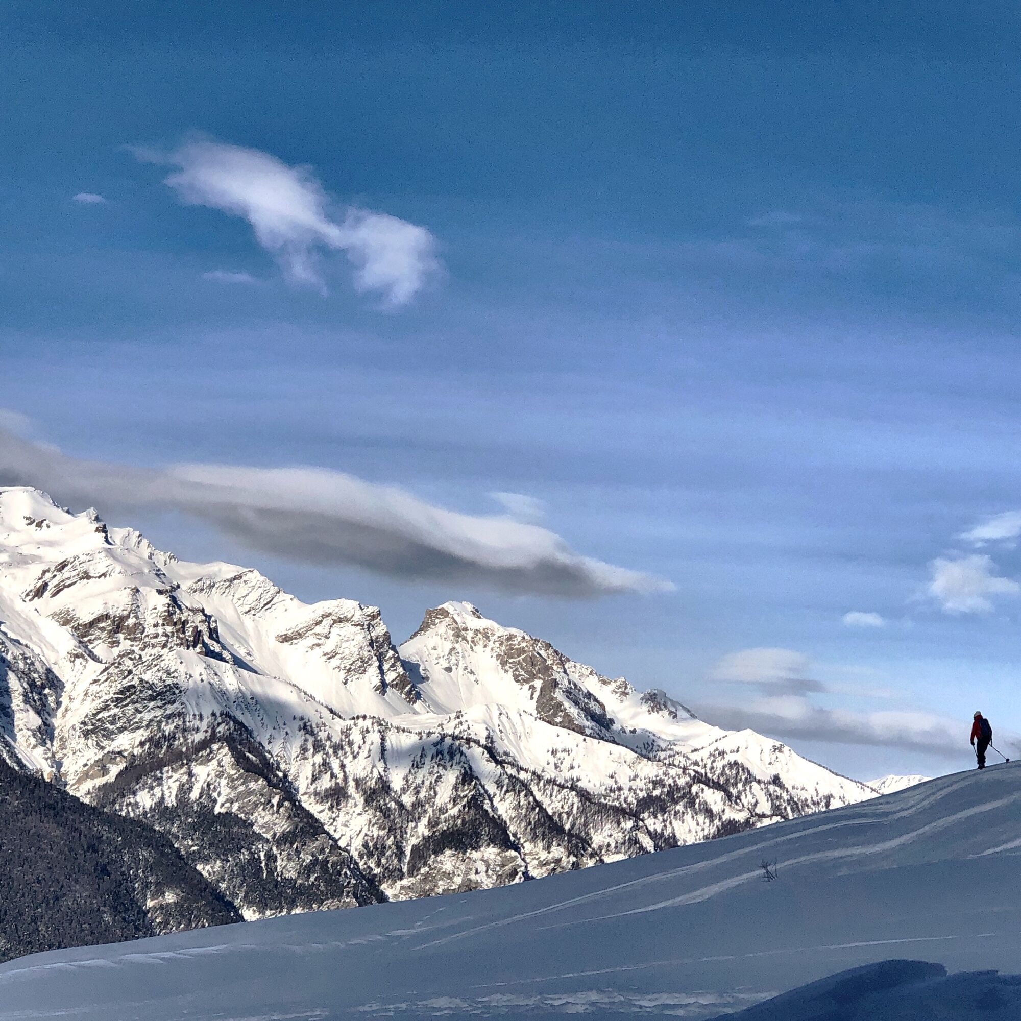
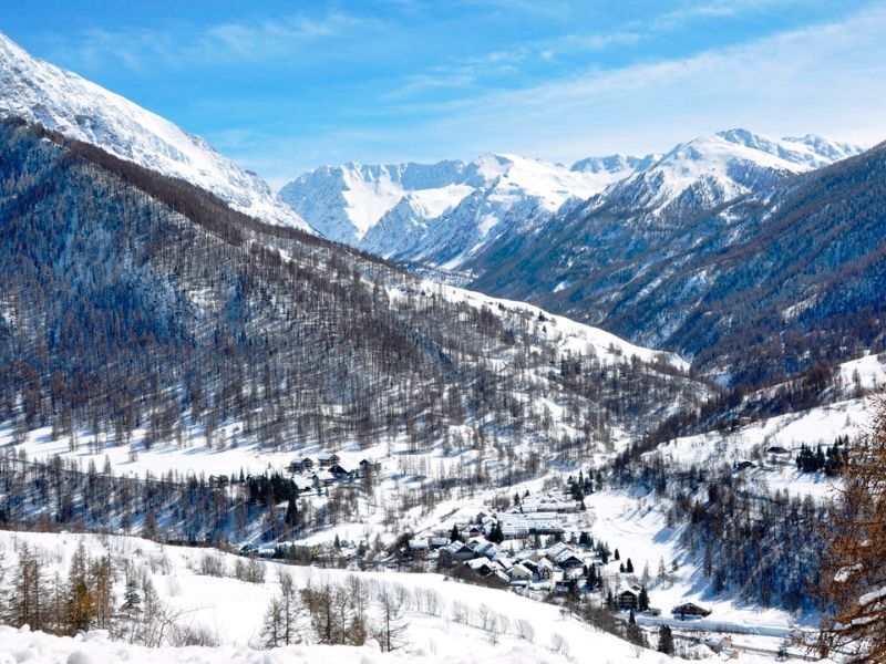
Start from the hamlet of Thures in an unspoiled environment toward absolute silence. The slow ascent begins by crossing the pine and larch forest, which gradually thins out, giving way to a view of the snow-covered valley.
The effort will definitely be rewarded by the feeling of conquering the summit. The white peaks of Monte Chaberton, Monte Fraiteve and the peaks of the nearby Valle Argentera provide the backdrop.


Return on the same route as the ascent.
Áno
Clothing and footwear suitable for the winter mountain environment: snowshoes – poles – ARVA, shovel, and probe
Hiking activity in snowy environments requires the use of electronic signaling and search systems as provided by Legislative Decree no. 40/2021 art. 26
Before undertaking any hike it is recommended to:
- consult the ARPA Piemonte weather and avalanche bulletins, http://www.arpa.piemonte.it/bollettini
- get information from local Tourist Offices, Ski Schools or Alpine Guides.
- In case of avalanche danger it is advisable not to undertake any hike.
We also remind you that:
The indicated trails are beaten exclusively by people traveling on foot: there is no mechanical, daily or periodic maintenance and grooming service.
The difficulty level indicated for each route may vary depending on the snow cover conditions.
Hiking activity in snowy environments requires the use of electronic signaling and search systems as provided by Legislative Decree no. 40/2021 art. 26
By car from Turin follow the signs for the North Ring Road towards Trafori - Frejus.
Take the A32 motorway towards Bardonecchia and exit at Oulx-Monginevro-Sestriere.
Continue on SS 24 towards Cesana Torinese and pass the settlement heading towards the hamlet of Bousson and then the hamlet of Thures. At the junction on the right, go up the narrow paved road for about 3 km until you reach the hamlet of Thures. Park there.
Note the ban on access to the SP215 road to Thures from the junction at Bousson on Saturdays and Sundays from 8:30 a.m. to 12 p.m., Ordinance no. 3/2024. Recommended parking near Bousson.
From Monday to Friday it is possible to park at the edges of the paved road near the settlement, without obstructing traffic.
On Saturday and Sunday, parking is near Bousson.
Do not litter the environment but take waste with you, possibly collecting that left by others.
The indicated travel times are approximate and may vary based on weather conditions and personal ability.
Route suitable for those with a good level of fitness. Bring a backpack with water and food; there are no refreshment points or fountains along the route.

Webové kamery z prehliadky
Získajte prehľad
Vždy naživo na mieste s viac ako 9 500 webovými kamerami. bergfex Ako používateľ Pro si teraz môžete pozrieť príslušné webové kamery pre mnohé zájazdy v aplikácii zájazdy z. Môžete si tak priamo prezerať aktuálne podmienky.

Obľúbené výlety v okolí
-
GR®58 Tour du Queyras
strednáTuristika 114,0 km -
BARDONECCHIA - Loop Colle della Scala - Col de Montgenèvre - Colle del Sestriere
ťažkéCestný bicykel 91,9 km -
5,0
SESTRIERE Monte Rognosa
ťažkéTuristika 6,42 km -
CESANA T.SE Lago Nero - Seven Colors Lake
strednáTuristika 3,51 km -
5,0
CESANA T.SE Cesana - Fenils
svetloTuristika 4,60 km -
OULX Borgata Seu (Gran Bosco Natural Park)
svetloSnežnice 5,93 km -
5,0
OULX Montagne Seu
svetloTuristika 5,28 km -
CESANA T.SE Val Thuras
strednáTuristika 7,58 km -
CESANA T.SE The Lakes Route
strednáTuristika 10,2 km -
La Via dei Saraceni (Sauze d'Oulx)
strednáMountainbike 33,6 km
Turistika a stopovanie


Nenechajte si ujsť ponuky a inšpiráciu na ďalšiu dovolenku
Vaša e-mailová adresa bol pridaný do poštového zoznamu.





