







Le Strade dei Forti - stage 1 from Villafranca Piemonte to Pinerolo
Úroveň náročnosti: S0
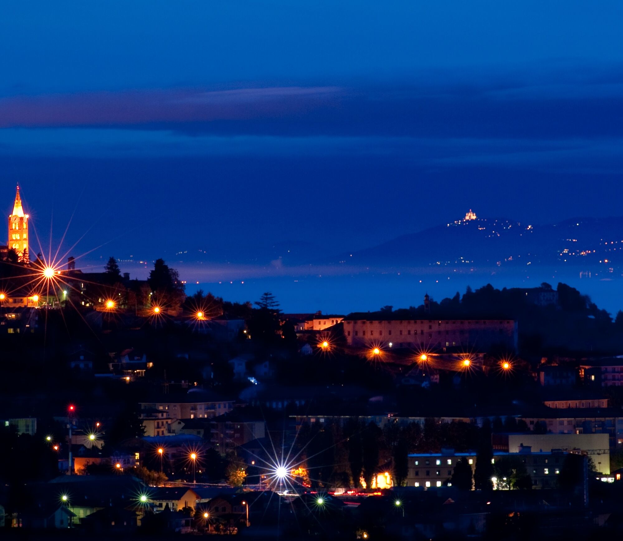
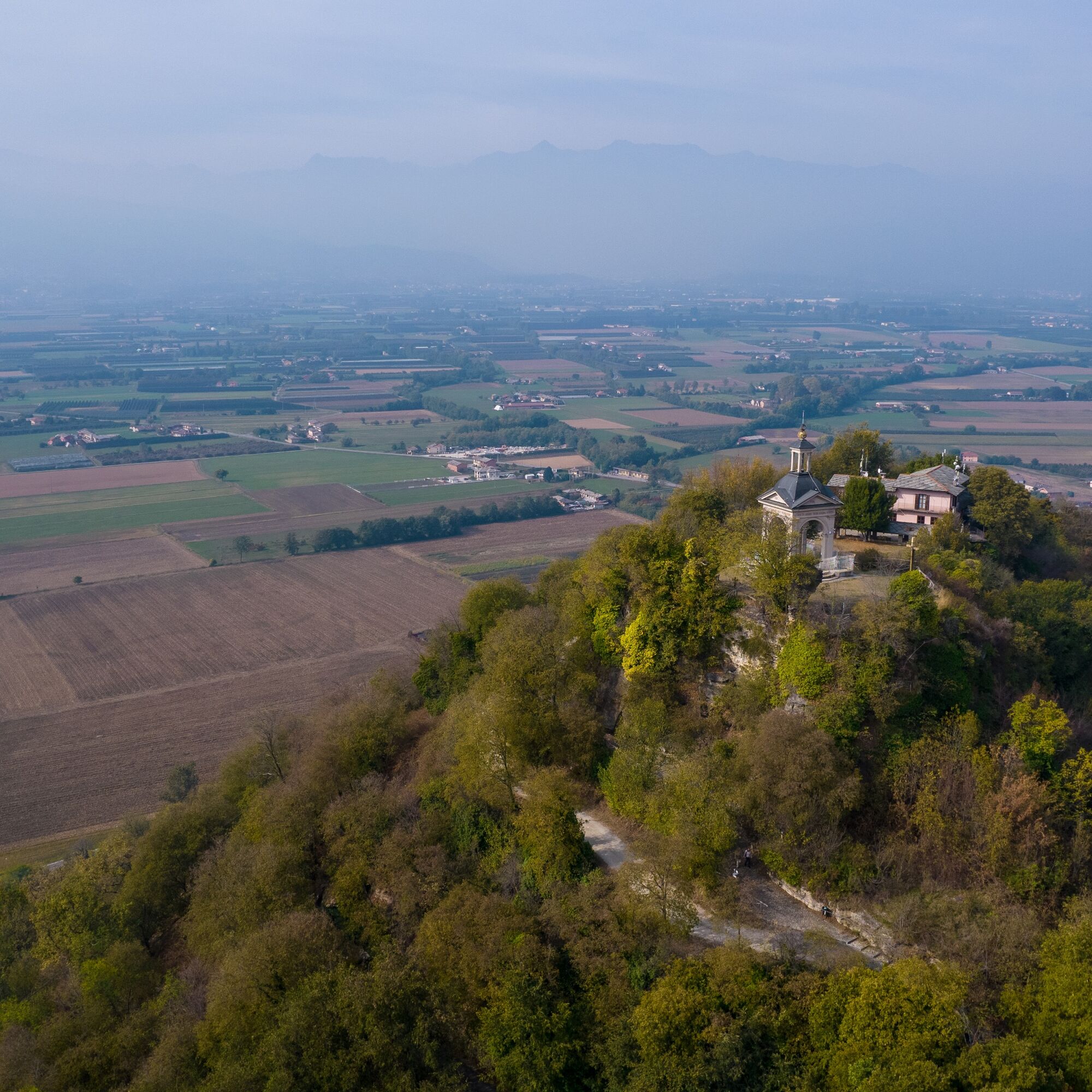
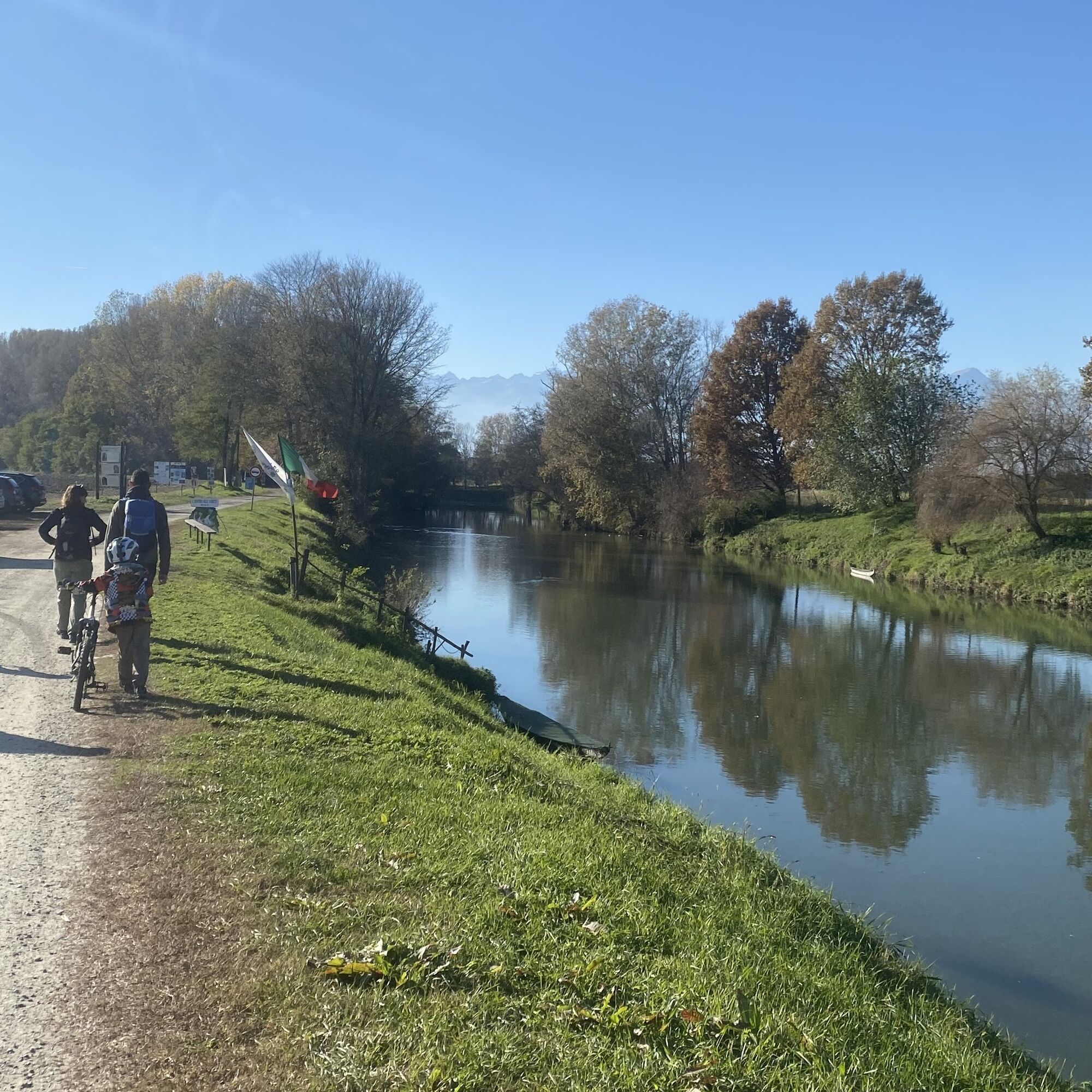
The route begins with a pleasant flat section rich in history and interesting natural features. From the Po River, with the Sentiero delle Ochette that runs alongside it, it moves through plains and orchards...
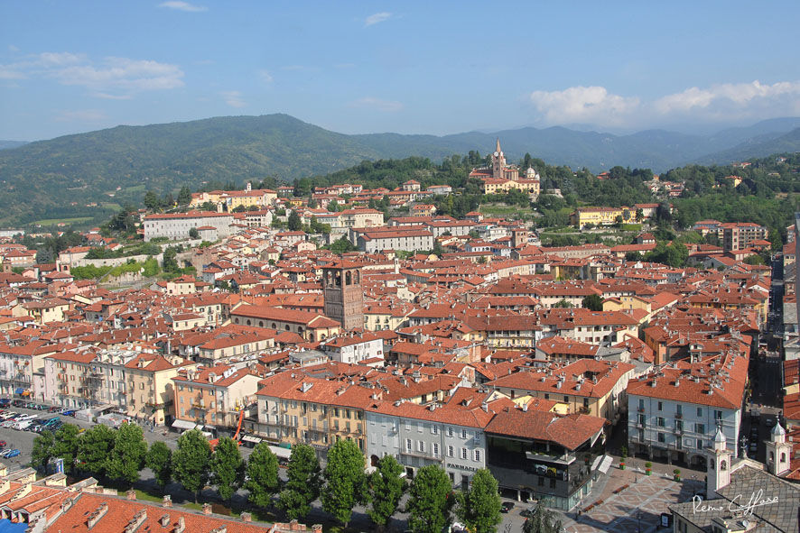
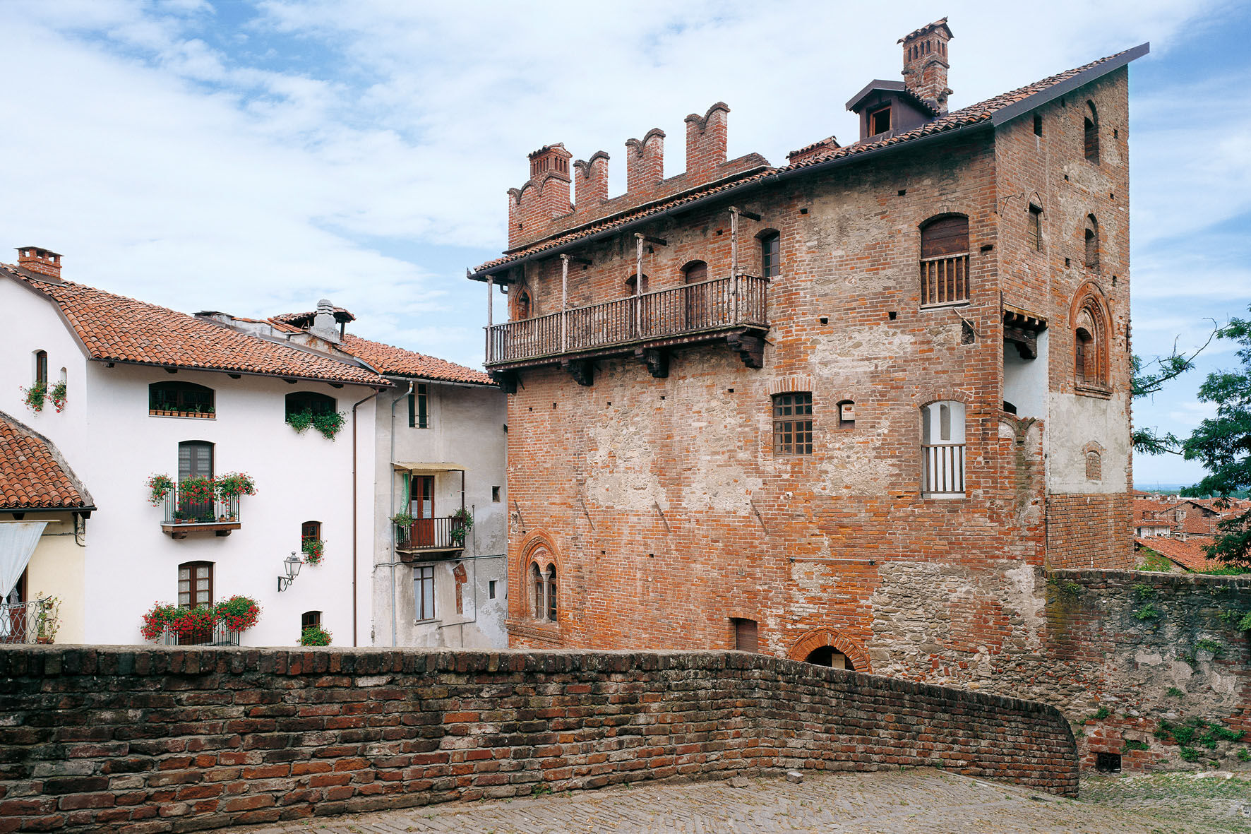
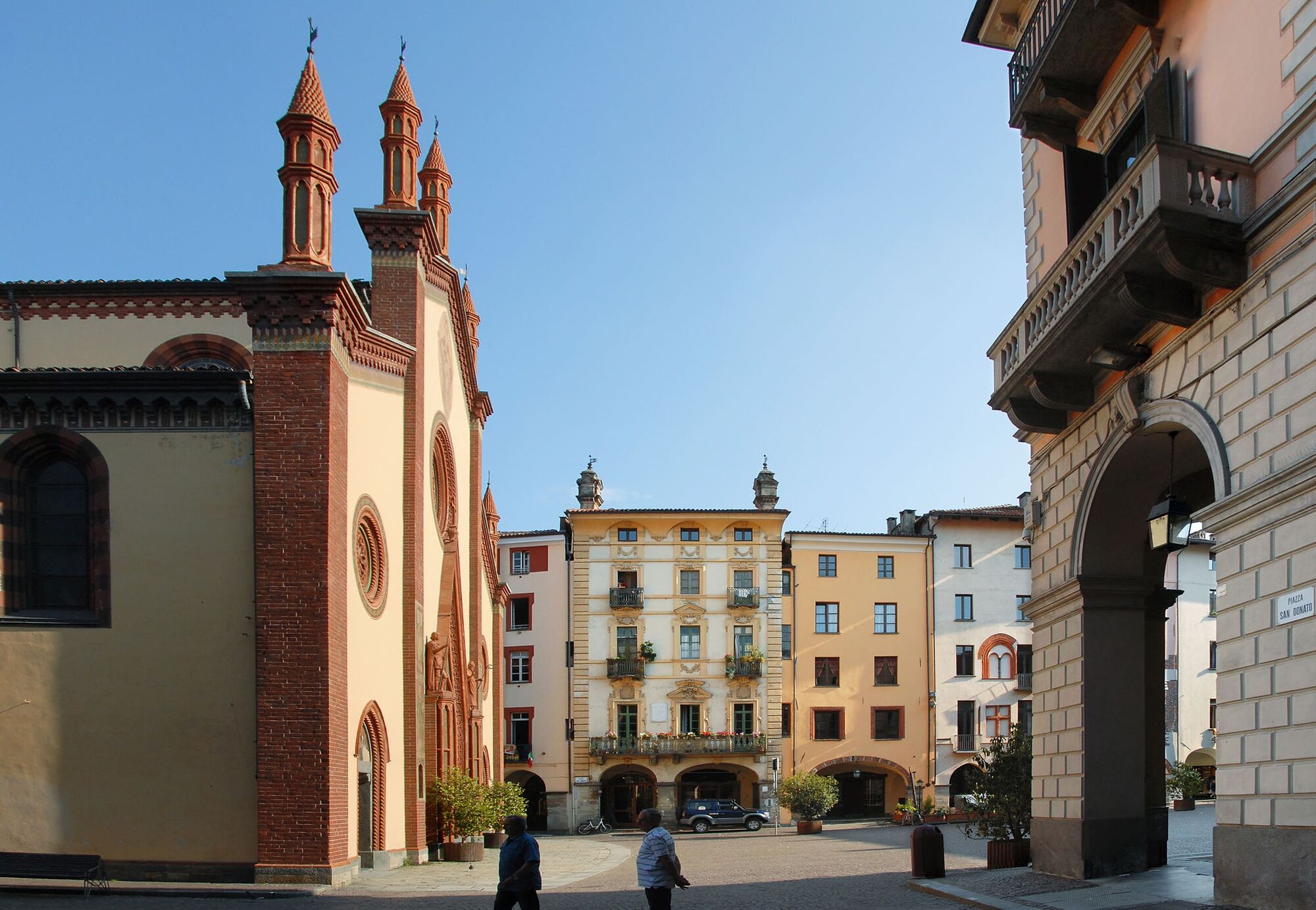
The route begins with a pleasant flat section rich in history and interesting natural features. From the Po River, with the Sentiero delle Ochette that runs alongside it, it moves through plains and orchards to Cavour with its Rocca. From Cavour, you reach Pinerolo, continuing on a flat route that touches several fortified castles and picturesque churches.
The mileage is limited to allow visits to places of interest. The route partly runs on paved roads and partly on dirt roads generally with a good surface, which may deteriorate in spring or immediately after rain. Crossing various populated centers facilitates access to water, available from fountains or water dispensers. The populated centers also provide the possibility to buy food.
PARTIAL TRAVEL TIME: Villafranca – Cavour 1h 30 min; Cavour – Pinerolo 2h



Áno
Áno
Appropriate clothing and equipment are recommended.
The route uses secondary roads with low traffic; however, attention is required at numerous intersections and crossings of busier roads.
The route is suitable for families with children from 8 years old.
A55 from Turin: exit AIRASCA and SP 139. Follow the signs for Villafranca Piemonte
Train: sfm2 line Pinerolo-Chivasso, stop Airasca - info on www.trenitalia.com - continue by bike along the Via delle Risorgive cycle path to Villafranca Piemonte.
Public parking is available in Villafranca Piemonte.
S0
Before undertaking any excursion, it is recommended to check weather bulletins or ask for information at local Tourist Offices and, if necessary, rely on a bike tour guide.
It is good practice not to go on an excursion alone and to always inform someone about your destination.
Do not litter but carry out your rubbish, possibly collecting that left by others.
Travel times indicated are approximate and may vary depending on weather conditions and personal abilities.
For more information www.lestradedeiforti.it
Along this stage, it is possible to visit some points of interest, subject to checking opening hours.
Don't miss a climb to Rocca di Cavour to take a photo on the Big Bench and a walk in the historic center of Pinerolo.
Obľúbené výlety v okolí
-
BRICHERASIO The Via della Pietra
svetloDiaľková cyklotrasa 11,5 km -
TORRE PELLICE Naturalistic trail "The Jay"
svetloTuristika 10,2 km -
PRAROSTINO From Piani to Sonagliette and back - SLOWLY TOGETHER
svetloTuristika 6,60 km -
PRAROSTINO Faro della Libertà Walk
svetloTuristika 3,60 km -
Chisone ring on the trail of herons
strednáMountainbike 22,4 km -
PRAROSTINO Circuit of the hamlets
strednáMountainbike 18,1 km -
Manfre Path
Turistika 11,8 km -
SAN SECONDO Upslowtour - Loop 14 Memory and partisan routes
strednáCyklistika 33,8 km -
BIBIANA Upslowtour - Valley Floor Ring 12
svetloCyklistika 55,2 km -
PINEROLO Scopricollina
svetloTuristika 10,3 km
Turistika a stopovanie


Nenechajte si ujsť ponuky a inšpiráciu na ďalšiu dovolenku
Vaša e-mailová adresa bol pridaný do poštového zoznamu.





