


San Carlo Path | Stage 1 Arona-Ameno
Úroveň náročnosti: T2
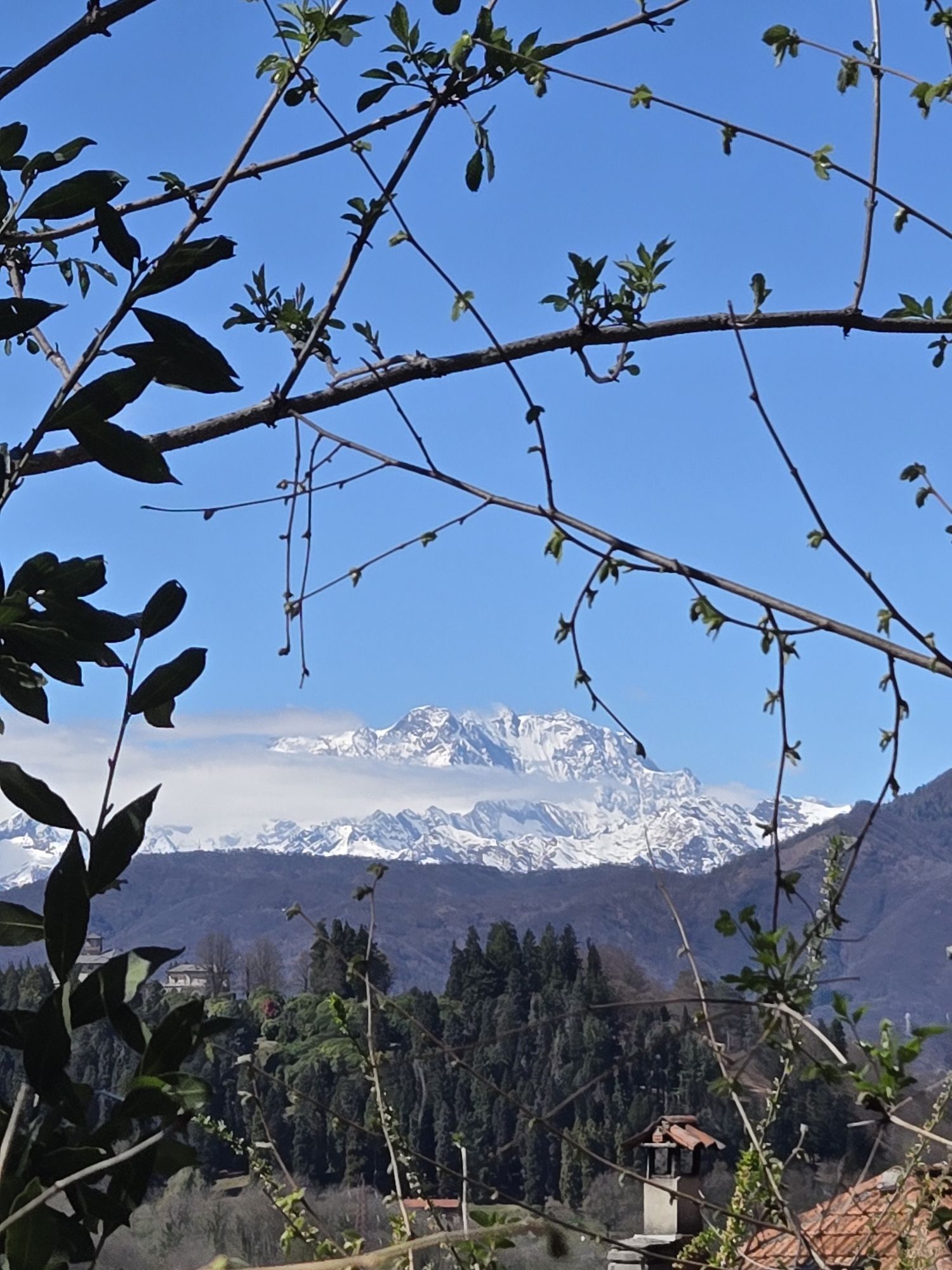
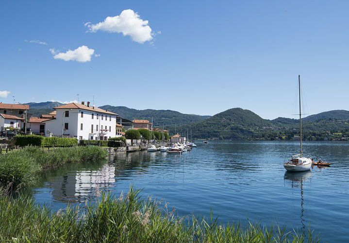
The route starts in Arona, from the colossal statue of San Carlo, commonly known as San Carlone; it continues towards Dagnente and Meina, and after a section of the road leading to Montrigiasco, it diverts...
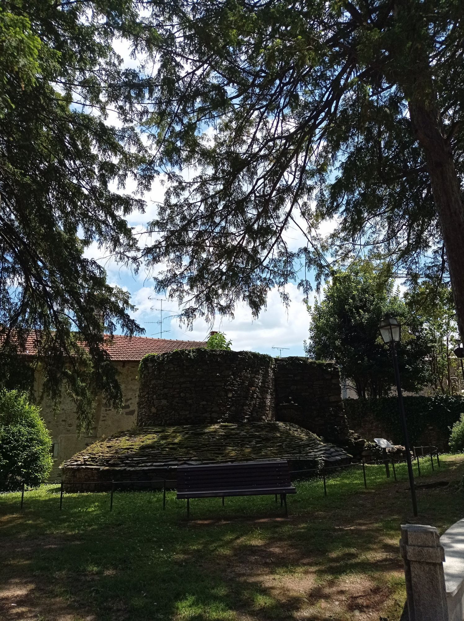
After reaching the church of Sant'Eufemia in Paruzzaro, the route arrives in Invorio, which, due to its central position between Cusio and Verbano, is considered the "gateway to Vergante." Leaving the town behind, the route continues along the provincial road leading to Alto Vergante and, through a dirt road that passes through thick vegetation, it reaches Monte Barro, where one can admire the ancient medieval village of the same name and the small church dedicated to Santa Maria Annunziata. From here, the route returns to the previous road and continues north, with slight ups and downs on the eastern slope of Motto Alto; then a mule track leads down to the Agogna stream and reaches Ameno.

T2
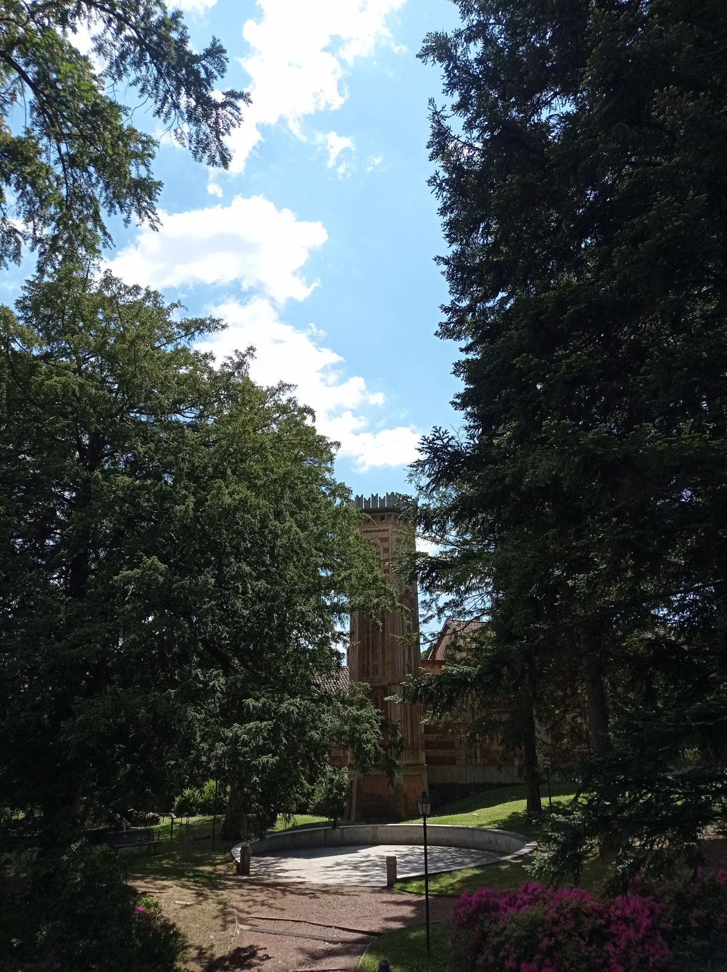
Points of interest: San Carlone, the village of Barro, the Monte Mesma convent, the village of Ameno.
Obľúbené výlety v okolí
-
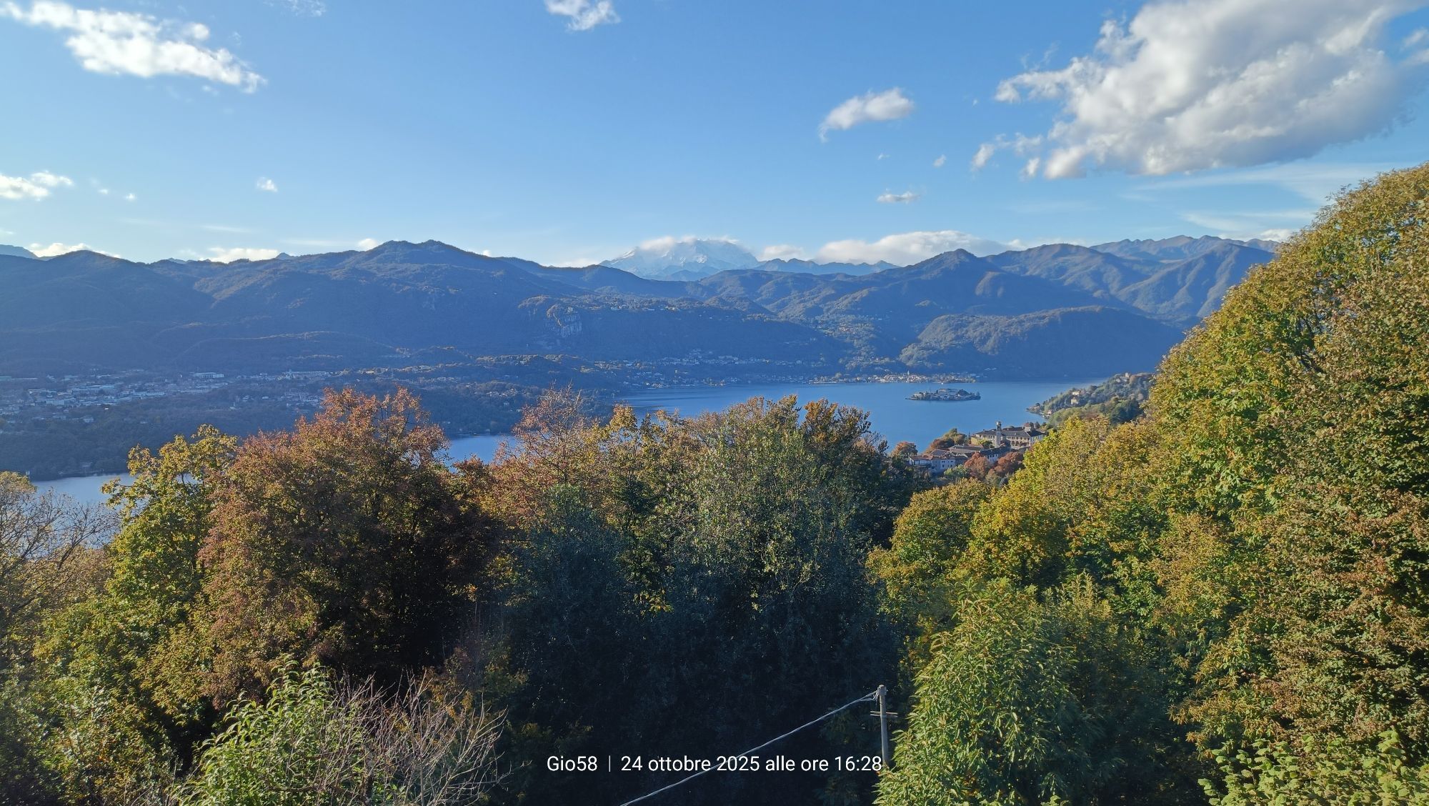
Tour of Lake Orta
svetloMountainbike 35,4 km -
4,7
Coiromonte - Monte del Falò
strednáTuristika 6,16 km -
On the Hills from Cavallirio and Boca
svetloTuristika 9,73 km -
5,0
Meina to Stresa
strednáElektronický bicykel 34,8 km -
From Grignasco to the Crag of Ara
svetloTuristika 6,94 km -
In the hills of Borgomanero
strednáMountainbike 41,3 km -
BicinVigna with Antonelli - Pink Itinerary
strednáMountainbike 40,9 km -
BicinVigna with Antonelli
strednáMountainbike 25,2 km -
From Invorio to Armeno through the villages of Vergante
strednáMountainbike 41,0 km -
4,0
San Giuda Taddeo - Mottarone - Alpe Nuovo - Rifugio Genziana
strednáTuristika 4,63 km
Turistika a stopovanie


Nenechajte si ujsť ponuky a inšpiráciu na ďalšiu dovolenku
Vaša e-mailová adresa bol pridaný do poštového zoznamu.