







The Sassi-Superga Climb
The Sassi-Superga climb is a road route that starts in Turin’s Sassi neighborhood and winds steadily uphill toward the hill. The route follows paved roads throughout, with consistent gradients that require...
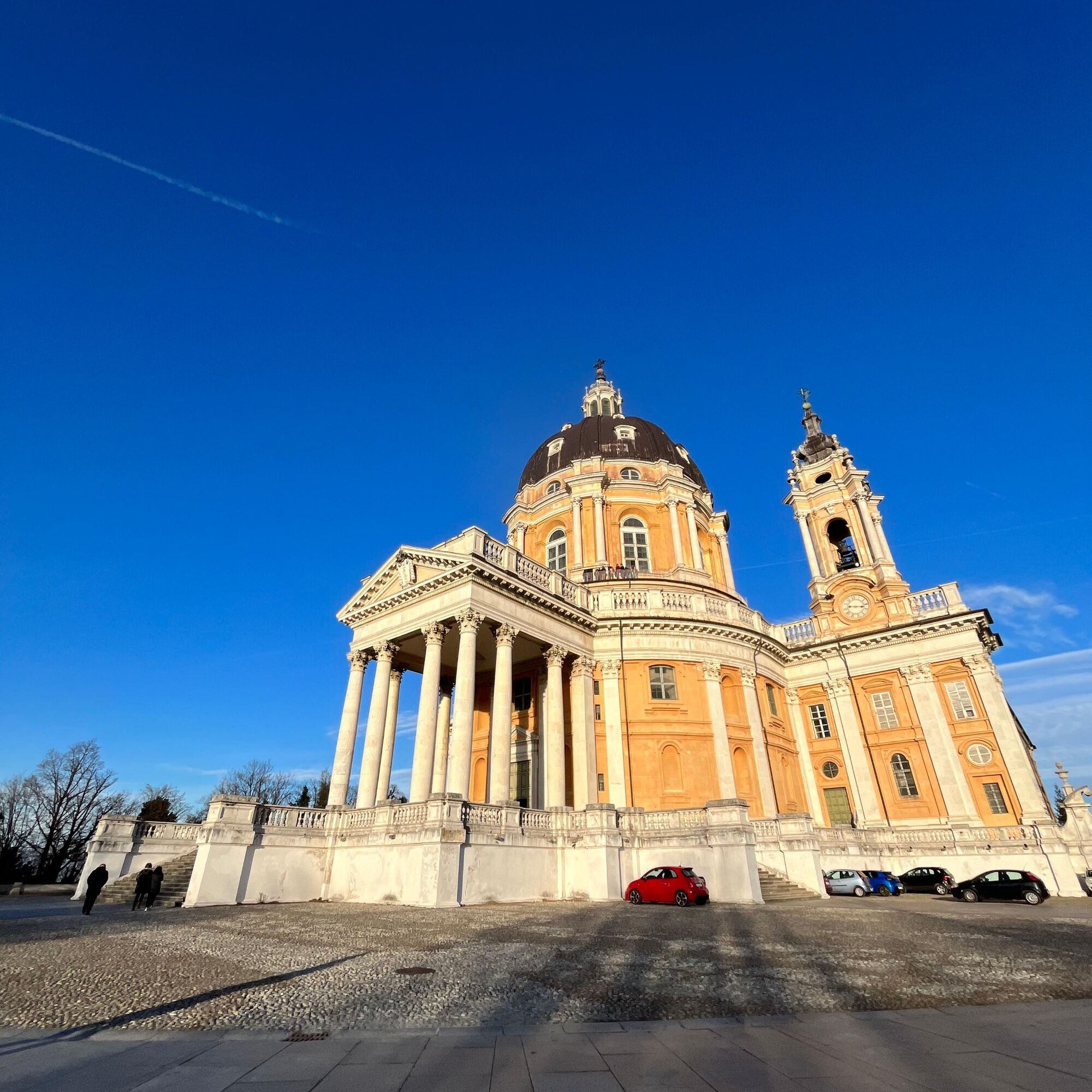
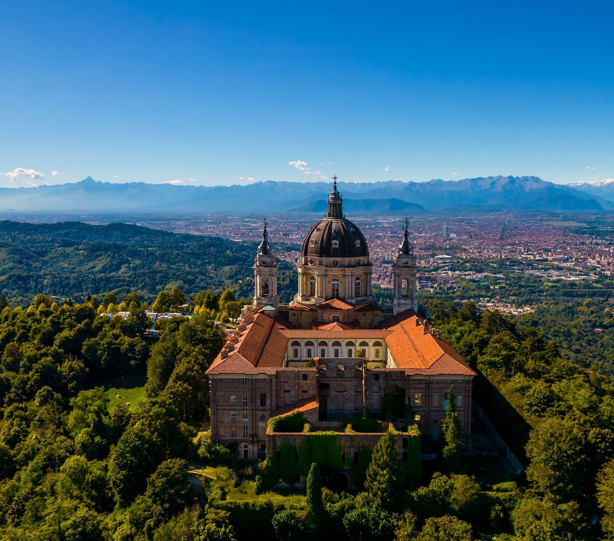
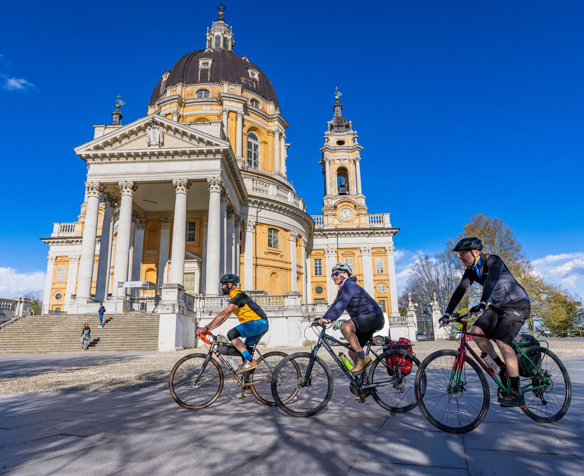
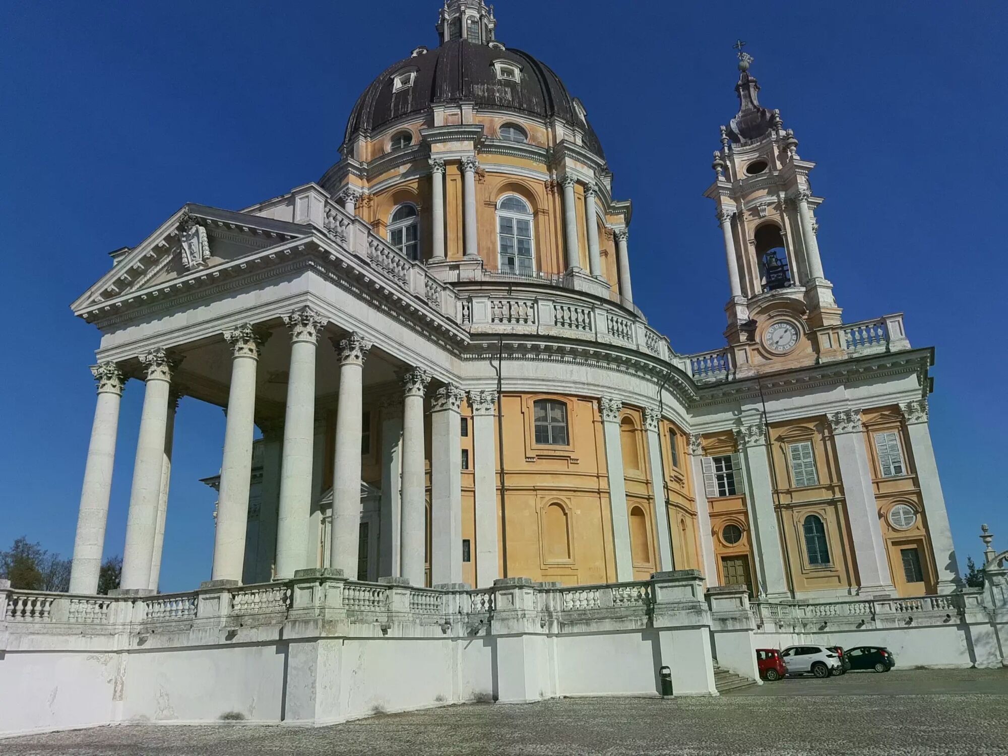
The Sassi-Superga climb is a road route that starts in Turin’s Sassi neighborhood and winds steadily uphill toward the hill. The route follows paved roads throughout, with consistent gradients that require a steady pedaling effort but are accessible even to less-trained cyclists. Along the route, the road winds through curves, offering glimpses of the city, until it reaches the ultimate destination: the Basilica of Superga, a scenic viewpoint overlooking Turin. This destination offers a visual and cultural reward, making the climb a classic for every road bike enthusiast.


Sturdy, comfortable shoes; weather-appropriate layered clothing; sun protection and rain gear; snacks and drinking water; first-aid kit; cell phone; maps
1. Roads are open to motor vehicle traffic; we recommend adjusting your speed according to your abilities and out of respect for other road users.
2. Make yourself visible: a reflective vest (or reflective armbands) is always required in tunnels and on rural roads after sunset.
3. Make sure your bike’s front and rear lights are working.
4. Always wear a helmet
5. Signal your intention to move in advance by using your arms, and before moving, check that no vehicles are approaching from behind.
6. Obey traffic signs: stop at traffic lights and do not ride against traffic.
7. If you’re riding in a group, always ride in single file.
8. Avoid riding on sidewalks, and if necessary, walk your bike.
9. If there are bike paths, use them: your safety depends on it, and it is a requirement under the Highway Code.
10. Carefully assess the type of route you are taking, the areas you plan to pass through, and the current season.
In case of emergency, call 112.
From downtown Turin, follow the signs for Sassi. Those arriving from the Province of Turin can reach the starting point via the city’s road network.
Getting to Sassi is easy by public transportation from Turin: numerous city bus routes connect the neighborhood to downtown.
In Sassi, there are public parking lots near the starting point.
Una salita ciclistica iconica che ogni anno segna il traguardo della Milano-Torino. La pendenza è piuttosto costante, tranne all'inizio e verso la fine, dove raggiunge il 12%, con un tratto più pianeggiante nel mezzo. Una volta raggiunta la cima, si è ricompensati da una vista mozzafiato sulla città
Obľúbené výlety v okolí
-
MONCALIERI - Biking on the water: Le Vallere and Valentino Park
svetloCyklistika 17,0 km -
CAMBIAN toward Riva presso Chieri
svetloCyklistika 22,8 km -
ANDEZENO - Panoramic loop towards Pino Torinese
strednáCyklistika 35,0 km -
TURIN - The tour of the Turin hillside on the "scenic road"
strednáCestný bicykel 36,7 km -
Gran Gravel Tour in the Oltre Collina Torinese in 4 stages
ťažkéDiaľková cyklotrasa 230,6 km -
CHIERI - Ring in the surroundings
strednáCyklistika 24,4 km -
CHIERI - Ring toward Pavarolo, Montaldo T.se and Andezeno
strednáCyklistika 32,9 km -
CASALBORGONE - Bosc Grand and Bosco del Vaj by MTB
strednáMountainbike 22,6 km -
Reach Sensimmersion - Inside the Park
ťažkéCyklistika 5,98 km -
How to get to Stupinigi Nature Park
Turistika 2,22 km
Turistika a stopovanie


Nenechajte si ujsť ponuky a inšpiráciu na ďalšiu dovolenku
Vaša e-mailová adresa bol pridaný do poštového zoznamu.





