







OULX Monfol - Ferro di Cavallo

Úroveň náročnosti: T2
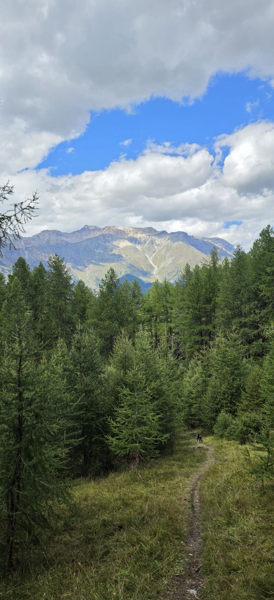
Trail no. 3 of the Gran Bosco Park, climbing a total altitude difference of about 1,000 m, offers different landscapes. Downhill, the Rio Gran Comba bears the marks of numerous past floods; higher up the...
Trail no. 3 of the Gran Bosco Park, climbing a total altitude difference of about 1,000 m, offers different landscapes. Downhill, the Rio Gran Comba bears the marks of numerous past floods; higher up the trail passes near the chapel of San Domenico on an isolated and sunny hill once cultivated, then reaches the hamlet of Monfol in a privileged and panoramic position. The last stretch crosses an alpine area of woods and pastures.
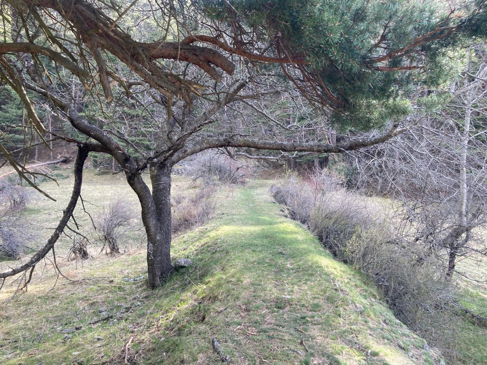
The constant in the first part of the route is the Scots pine forest, while in the second part the forest also offers firs, larches, and stone pines.
The trail is part of the Gran Bosco Natural Park of Salbertrand's trail network and is signed by the Park Authority as number 3.
Support and technical description by Barbara Demonte - Environmental hiking guide.

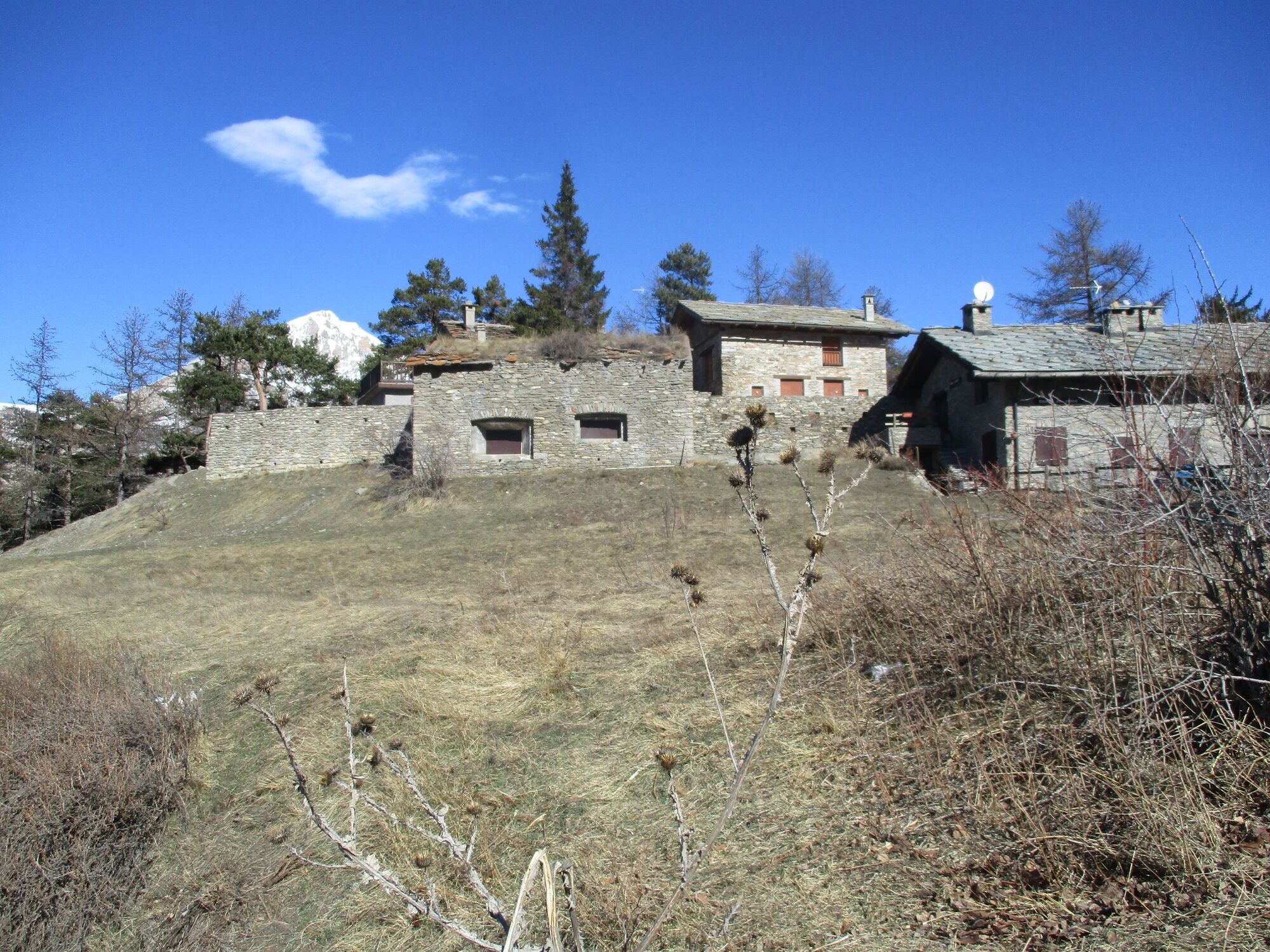
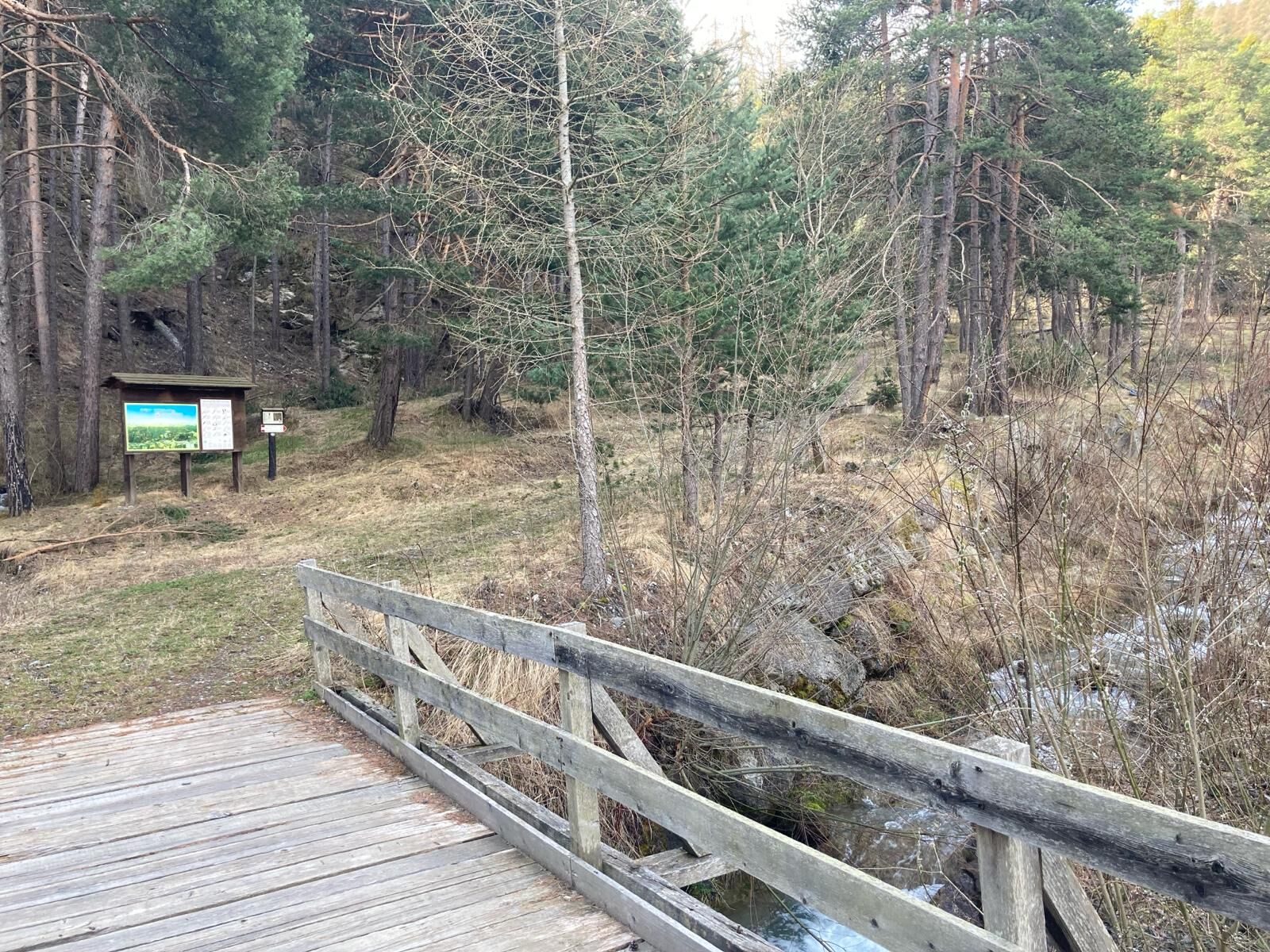
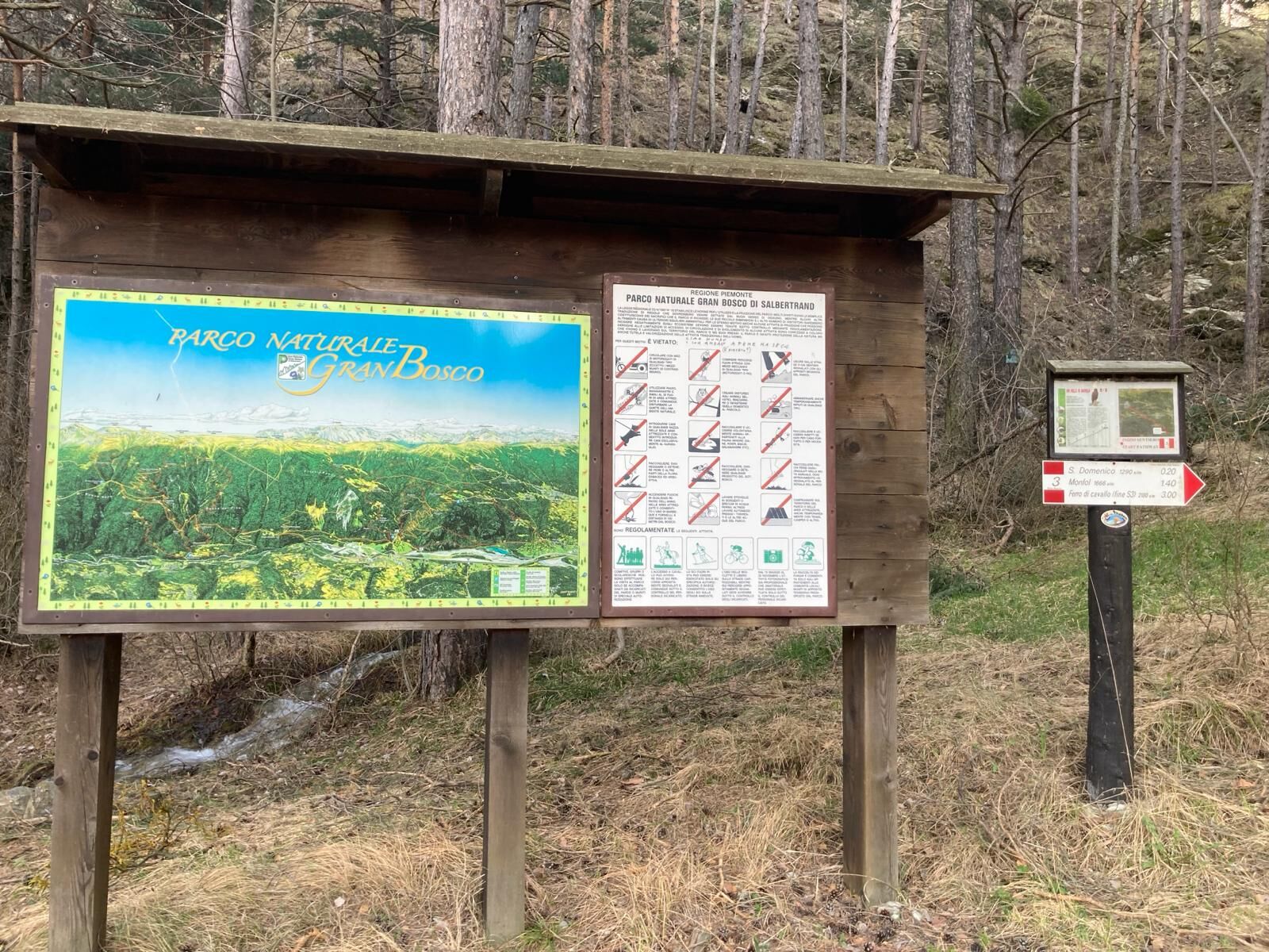
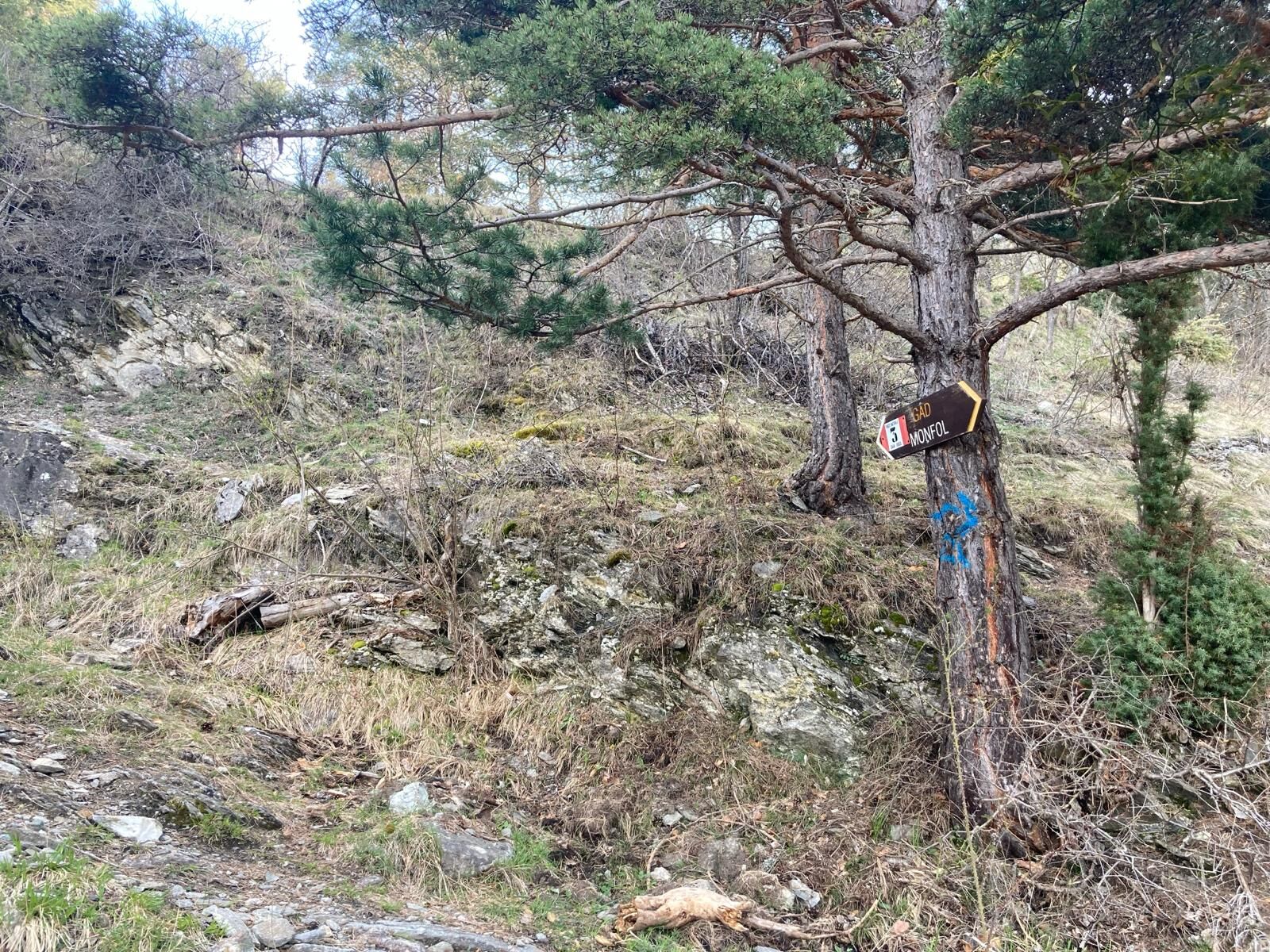
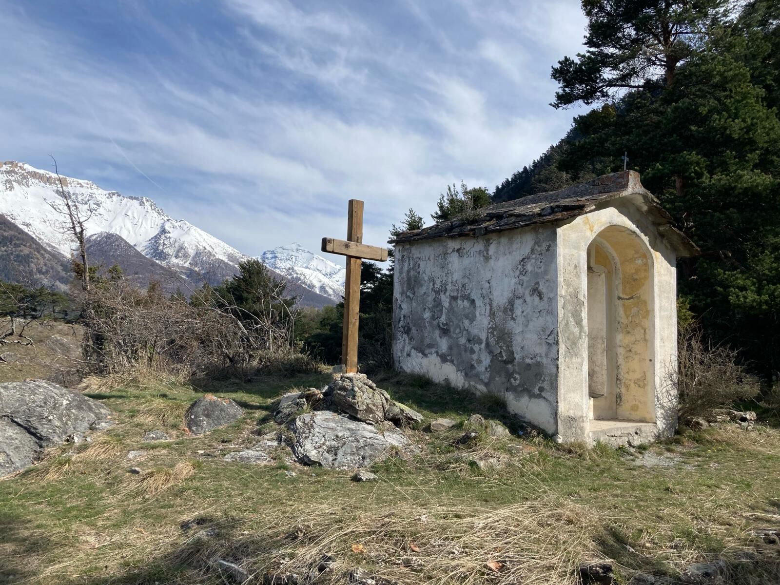
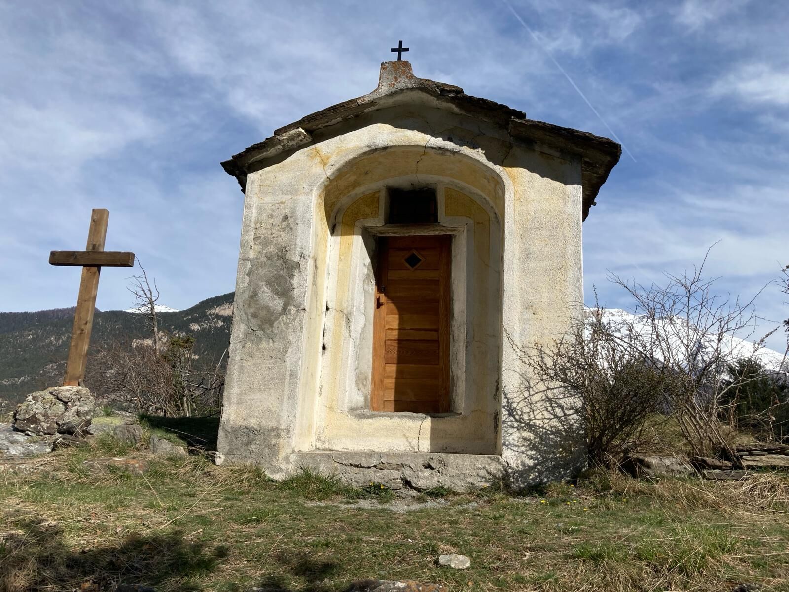
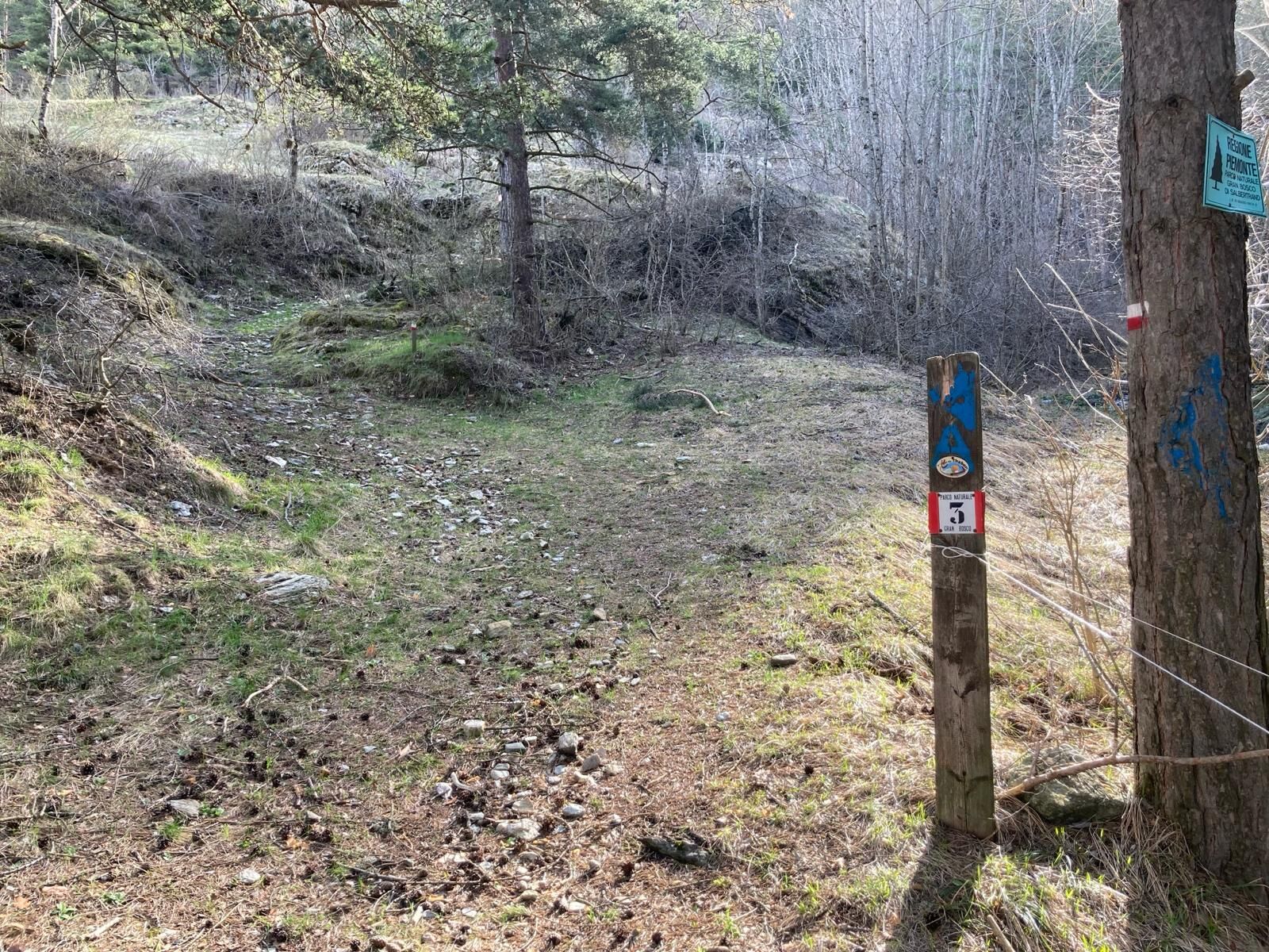
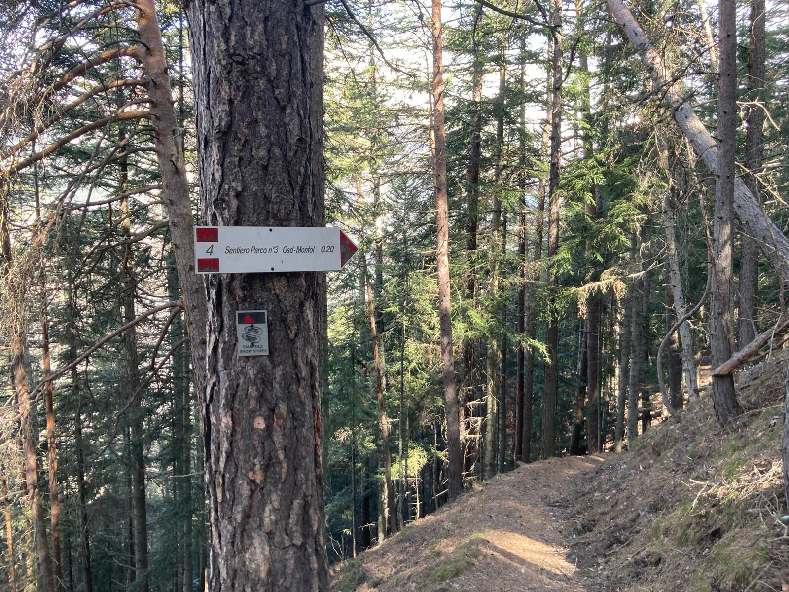

Trail no. 3 of the Gran Bosco Park starts in a pine forest above the village of Gad, a hamlet of Oulx located at an altitude of 1,060 m (parking available near the restaurant "Casetta del Gad" or at the "Le Baite" shopping center). You cross the whole old village of Gad following Via Ghiotti for about 400 m (last stretch uphill) where, near a recently built fountain, you take the dirt road slightly to the right; going straight uphill for about 500 m, ignoring junctions, you reach a crossroads in the pine forest at about 1,130 m where trail no. 3 starts with indications for San Domenico and Monfol; after crossing a small bridge over the Rio Gran Comba and shortly after a tiny stream, after some hairpin bends you reach the small chapel of San Domenico at about 1,290 m. The trail continues along steep slopes, and after several hairpin bends, at about 1,510 m it crosses trail no. 4 coming from Gran Villard; you proceed on no. 3 up to Monfol at an altitude of 1,670 m.
From Monfol, take the mule track that starts on the west side (towards Sauze d’Oulx) on the edge of the village, near the chapel of San Bartolomeo at 1,666 m; you pass in front of a wooden fountain and after a steep climb you reach a junction to the right with trail no. 1 towards Gran Villard which you ignore, continuing straight uphill. Just above, the mule track makes a hairpin turn to the left, marked quite high (be careful not to go straight, the trail is lost); at the next junction, leave the mule track taking the right path always marked no. 3 towards Enfers and Ferro di Cavallo. The trail after about 1.5 km from Monfol, at an altitude of 1,920 m, crosses the road coming from Richardette and Enfers, immediately resuming a steep climb; near a clearing at about 2,050 m the trail turns left (be careful not to go straight, the track is lost); continuing uphill, at about 2,170 m you reach the "Ferro di Cavallo", meaning a “U”-shaped curve of the road towards Colle Blegier. From this location, you can eventually reach Lake Laune and the homonymous alpine pasture (there is a fountain), briefly returning back and descending to the left along trail no. 4 of the Park indicated in the clearing just below Ferro di Cavallo.
Wear clothing and footwear suitable for the environment and the season.
From Turin, follow the signs for the North Ring Road towards Trafori - Frejus. Then take the A32 motorway towards Bardonecchia and leave the motorway after the toll booth, exit Oulx East. At the roundabout near the “Le Baite” shopping center, turn left towards Gad.
Accessible by public transport up to the Oulx train station: train from Torino P.N to Bardonecchia (stops at Oulx-Cesana-Claviere-Sestriere).
Parking available near the restaurant “Casetta del Gad” but spaces are limited; alternatively at the “Le Baite” shopping center.
T2
Before undertaking any hike, it is recommended to check the weather reports or ask for information at local Tourist Offices. It is good practice not to start a hike alone and always inform someone of your destination.
Do not litter the environment but carry waste with you, possibly collecting that left by others.
The travel times indicated are approximate and may vary depending on weather conditions and your own abilities.
Fountains in the hamlet of Gad and in the locality of Monfol
Obľúbené výlety v okolí
-
5,0
BARDONECCHIA Colle Sommeiller
strednáMountainbike 25,4 km -
5,0
BARDONECCHIA Forte Jafferau Loop
ťažkéMountainbike 36,8 km -
4,7
BARDONECCHIA Col des Acles - Passo della Mulattiera
strednáTuristika 6,23 km -
5,0
BARDONECCHIA Decauville
strednáTuristika 7,29 km -
BARDONECCHIA - Loop Colle della Scala - Col de Montgenèvre - Colle del Sestriere
ťažkéCestný bicykel 91,9 km -
5,0
SESTRIERE Monte Rognosa
ťažkéTuristika 6,42 km -
BARDONECCHIA Monte Jafferau
ťažkéTuristika 11,6 km -
5,0
La Via dei Saraceni (Sauze d'Oulx)
strednáMountainbike 33,6 km -
3,5
BARDONECCHIA Sentiero dei Cosetti by Luciano Ferraris
svetloTuristika 3,24 km -
4,5
BARDONECCHIA Forte Foens
strednáTuristika 3,83 km
Turistika a stopovanie


Nenechajte si ujsť ponuky a inšpiráciu na ďalšiu dovolenku
Vaša e-mailová adresa bol pridaný do poštového zoznamu.





