







BALME Molino Bivouac Loop
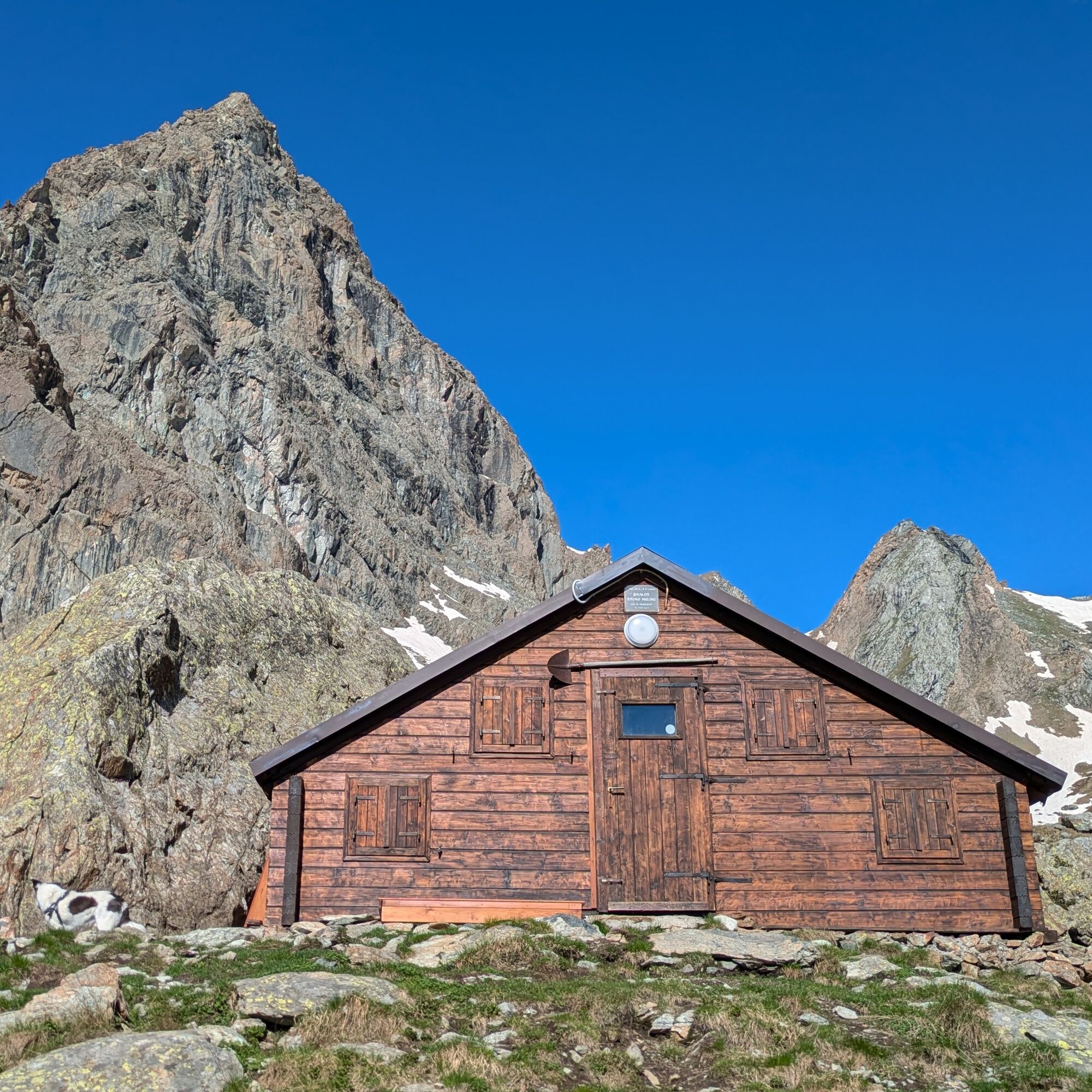
The Bruno Molino bivouac, dedicated to a chief of the Alpine Rescue in Balme, is a wooden structure, equipped with 12 beds, tables, and two lighting and USB charging points, thanks to a photovoltaic panel...
The Bruno Molino bivouac, dedicated to a chief of the Alpine Rescue in Balme, is a wooden structure, equipped with 12 beds, tables, and two lighting and USB charging points, thanks to a photovoltaic panel and a battery installed in 2023.
The bivouac serves as a support point for mountaineering ascents on the Uja di Mondrone and surrounding peaks or for multi-day treks such as the Alta Via delle Valli di Lanzo.
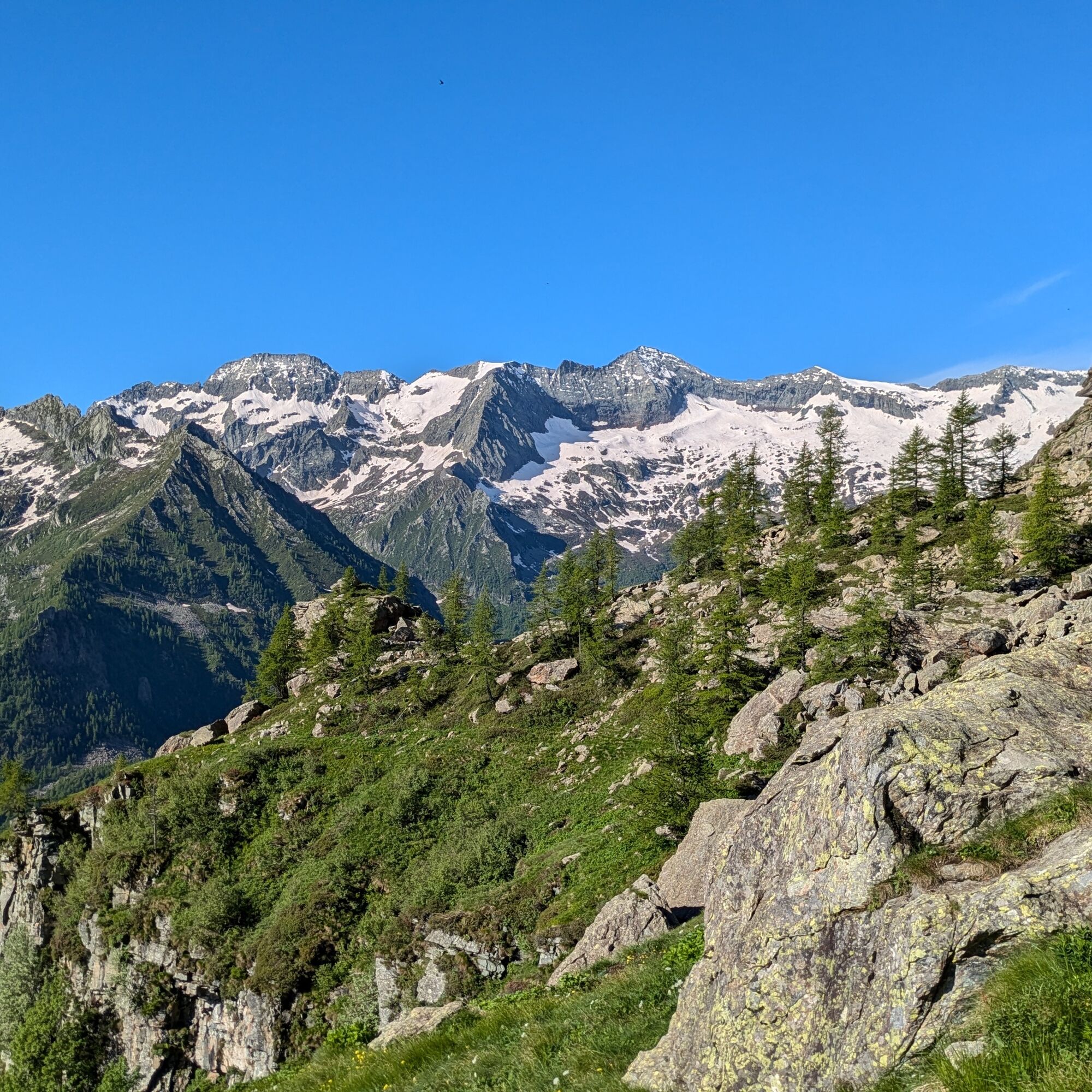
Mountain pastures are crossed that at the beginning of summer are colored by thousands of flowers. In summer, herds graze in the grassy basin up to Pian delle Mule.
The route is very panoramic and sunny.

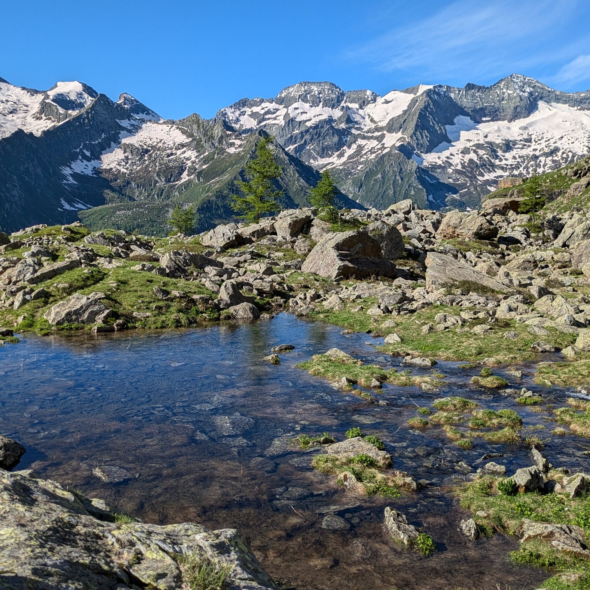
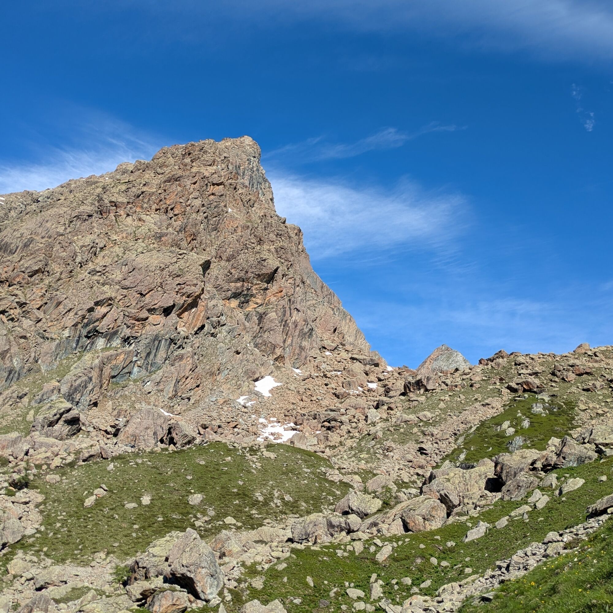
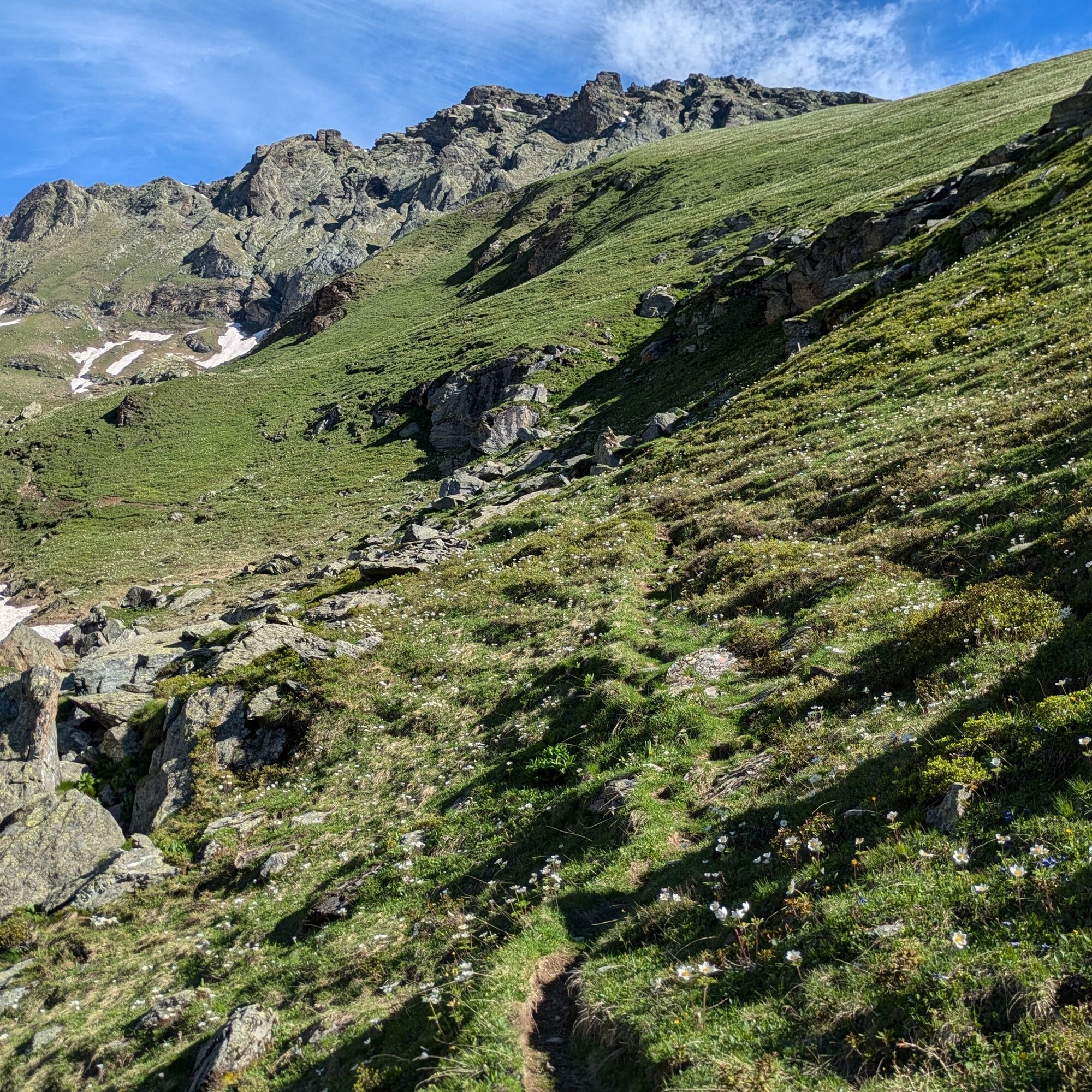
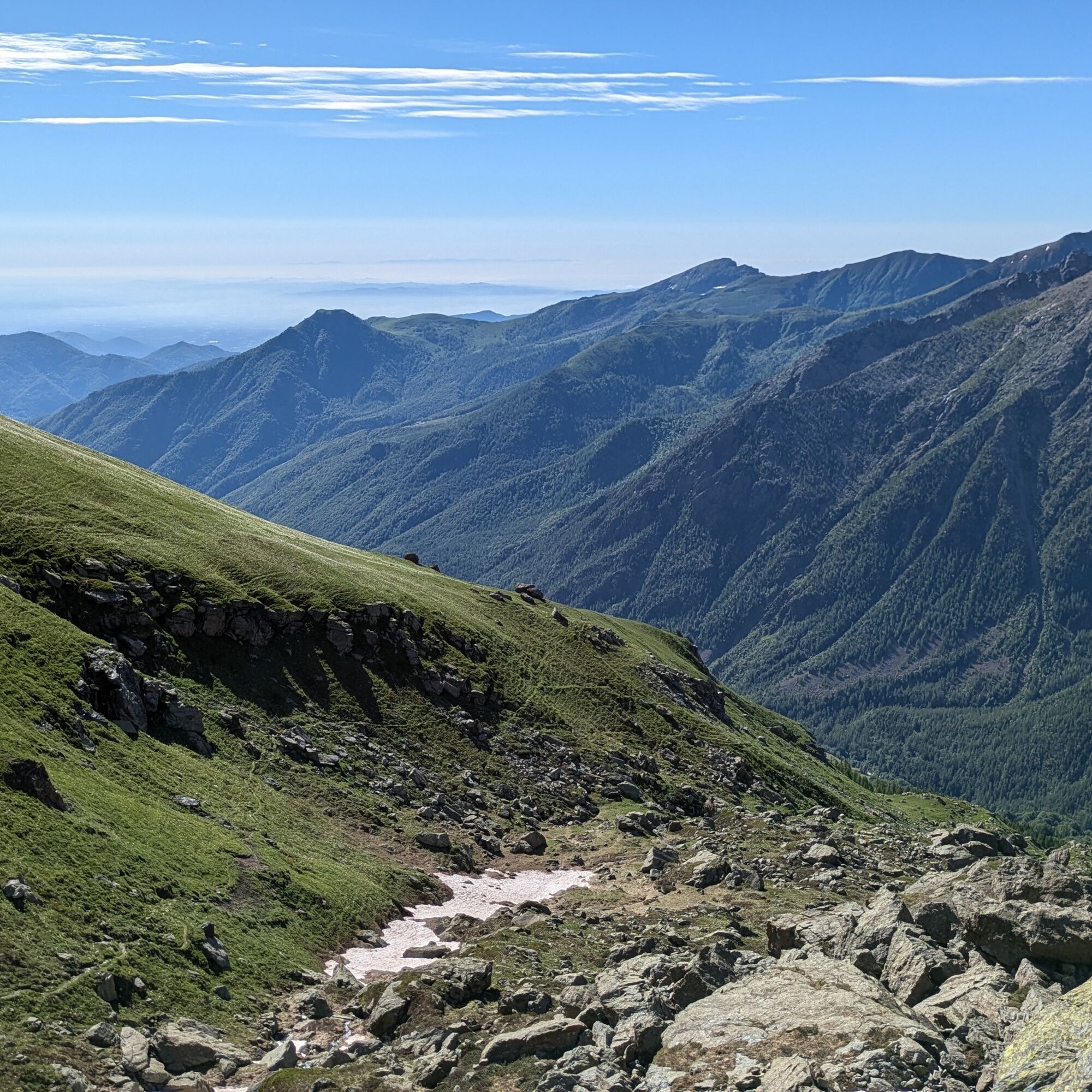
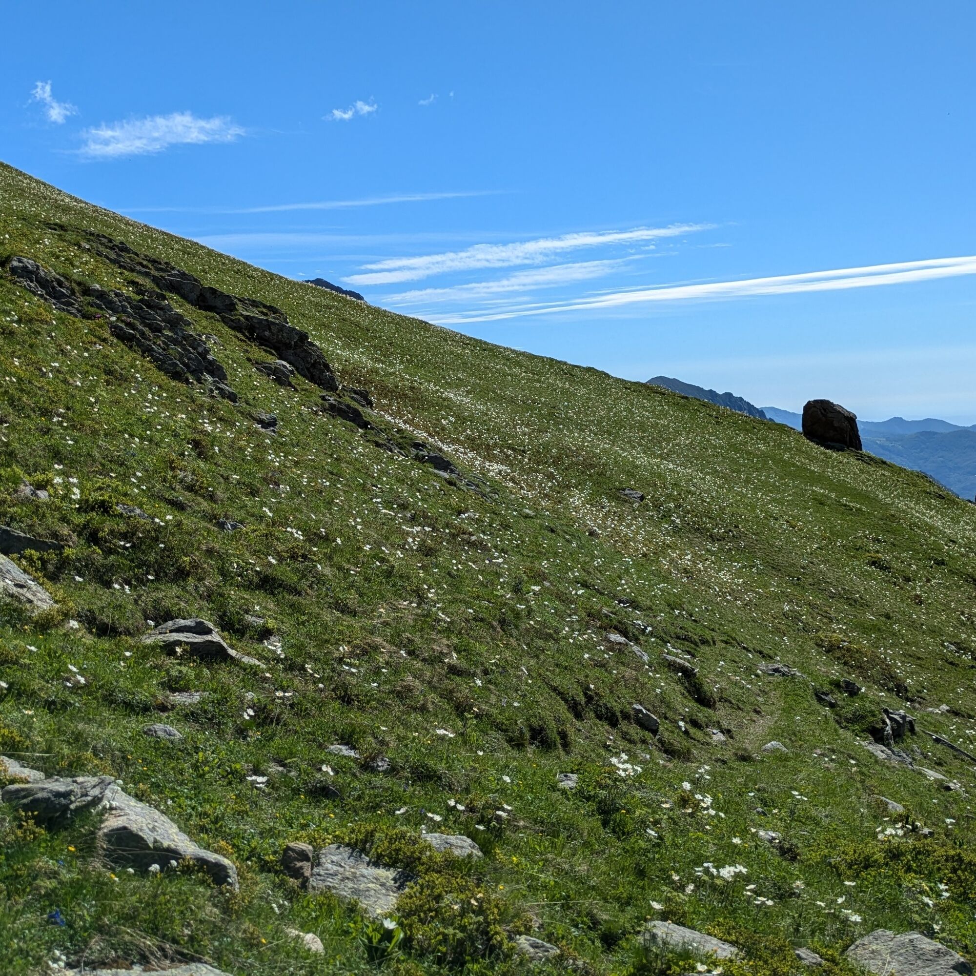
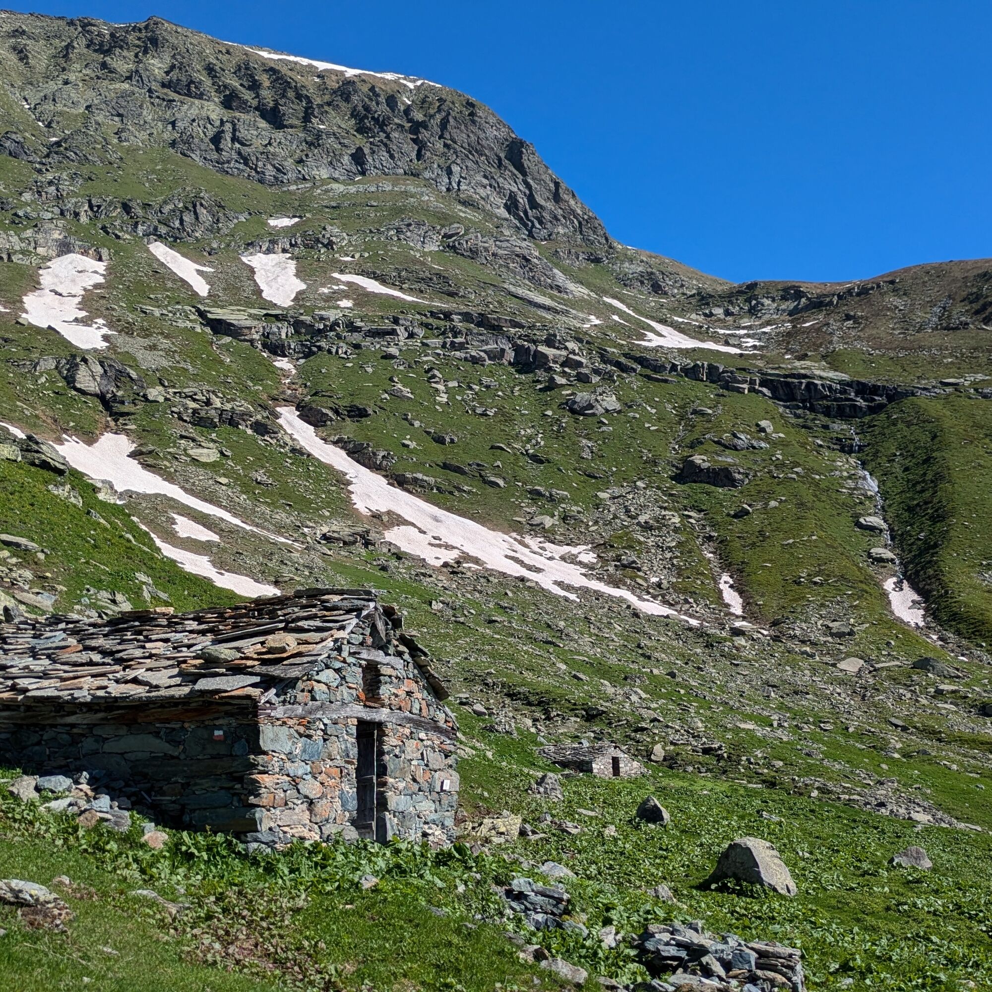
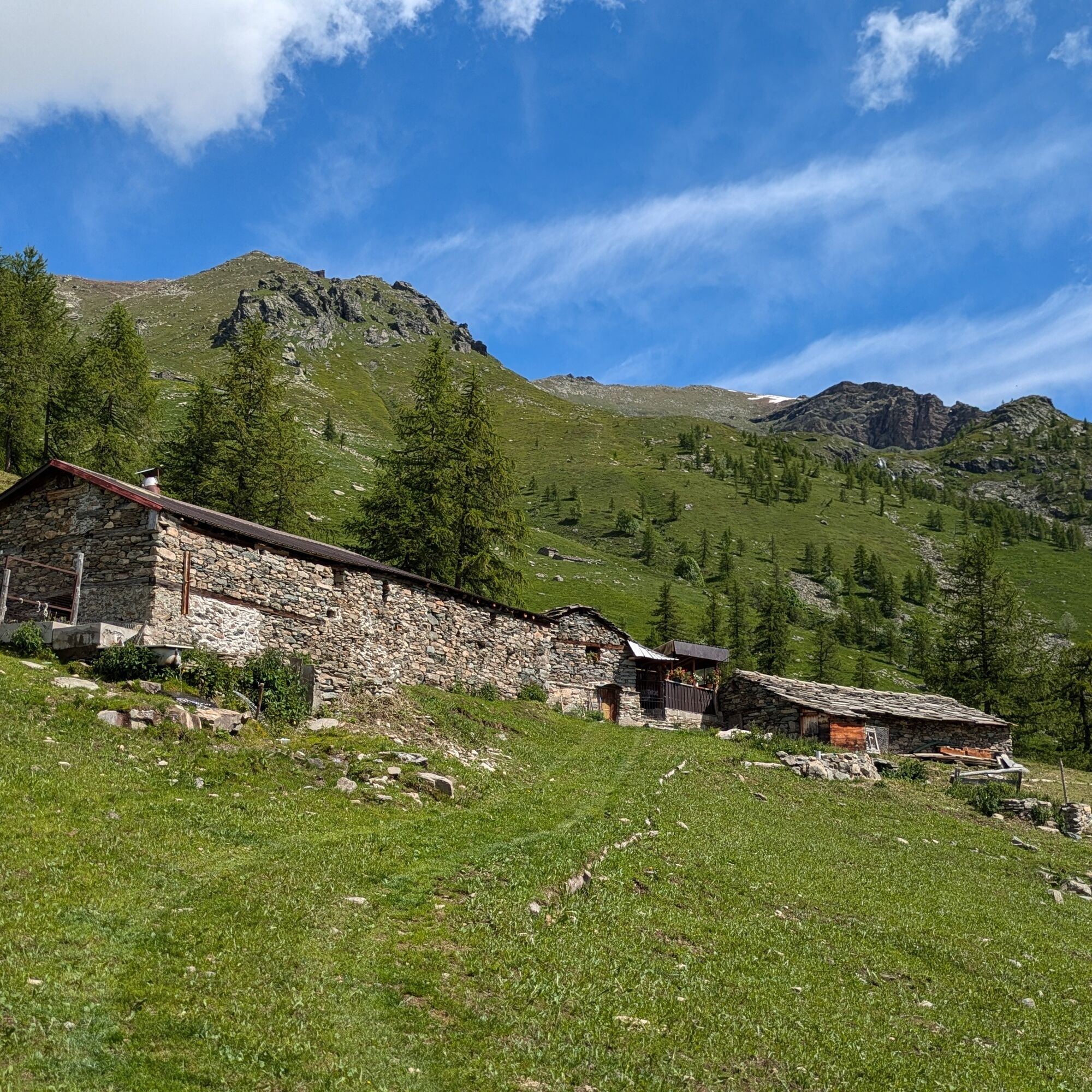

The direction of travel on the loop is irrelevant: in this proposal, the steepest and rockiest part is climbed uphill to descend more easily.
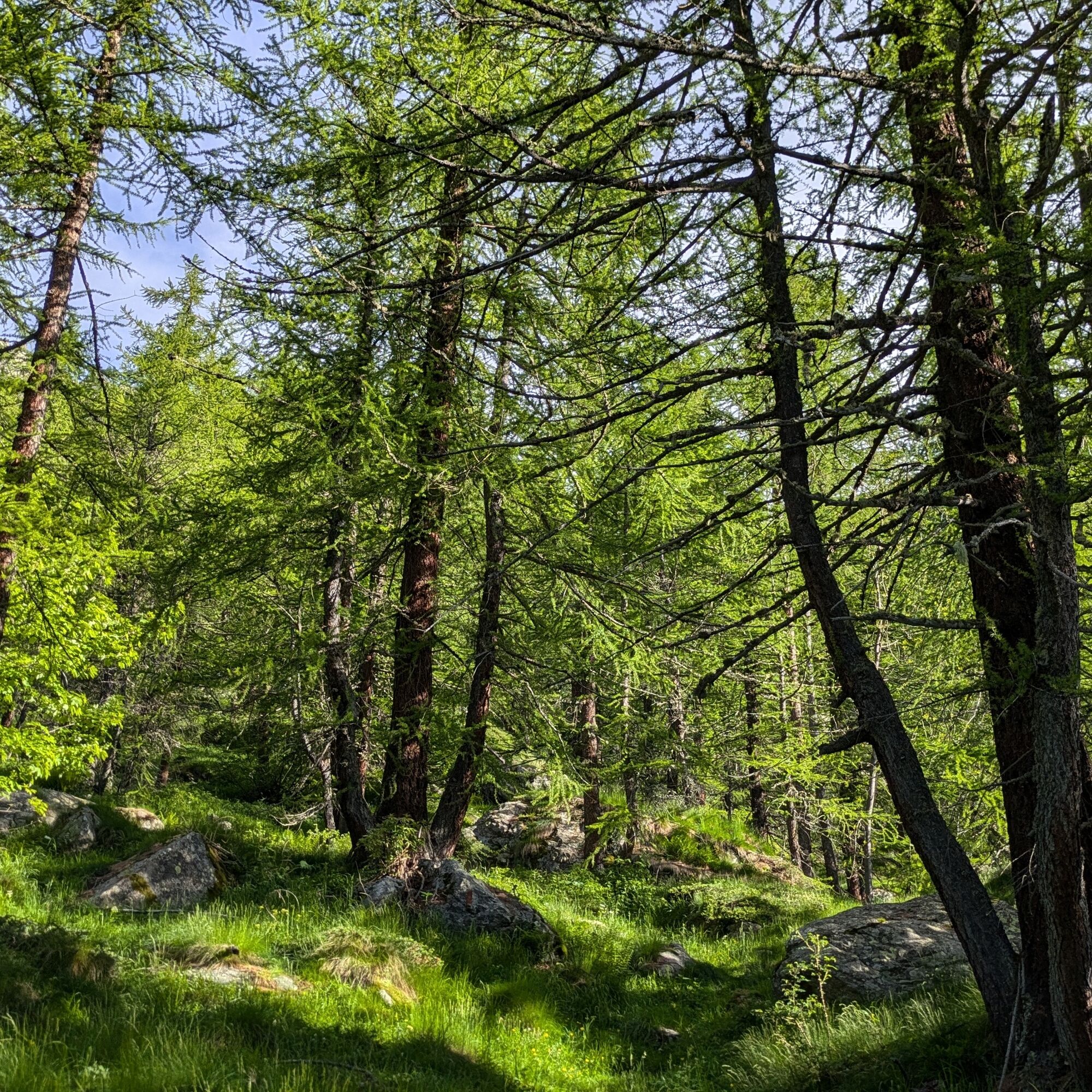
The trail starts just after a hairpin bend before the houses of Molera. Climb until you reach a dirt road: turn left for a few meters and then resume climbing, soon reaching the Pian Bosco mountain pastures (1673 m). Behind the main building, the path rises again to the dirt road. Cross it and continue climbing in the larch forest. The path makes several turns and crosses small streams until reaching a stony plateau where there is a fork. Turn right and continue climbing. Ignore a fork on the left (which will be taken downhill) until you arrive at a new fork where you turn left. Shortly after you reach the Molino bivouac (2283 m).
Then descend to the fork seen earlier, which goes at first on a false flat before descending beyond the ridge to the Pian delle Mule mountain pastures (2078 m). Here you must descend on traces that are not always visible. After a while, move left (without crossing the stream) and continue descending, passing old mountain pastures, then take the GTA / Via Alpina path on the right. This leads to Alpe Pian Prà, descend along the meadows, and a little before reaching the dirt road, the path takes a shortcut on the right to end up on the lower mule track. Follow the road until, near a large boulder and a sign, a small path begins that shortly after leads to Alpe Pian Bosco. From here retrace the approach path backwards.
Non-slip sole footwear, wind/rain protection, a warm layer, water and food supplies, first aid, hat, sunscreen, and sunglasses are recommended.
In mid-summer the vegetation in the central part of the climb can be very lush and may obscure the view of the ground: you need familiarity with the type of environment and must pay attention not to slip.
From the plain reach Lanzo Torinese. Continue following provincial road 1 towards Balme. Before entering the village turn right, cross the Stura stream, and turn right again at the houses of Chialambertetto. Shortly after take the narrow road to Molera.
To reach Balme, there is the Ceres - Balme bus line with a stop near the church. From there, to reach the starting point, go down along the provincial road, turn left toward Chialambertetto, continue along the old road until you take the little road going up to Molera (about 50 minutes on foot to the start of the hike).
For bus schedules: Cavourese website
Near the starting point, on the roadside, there is the possibility to park a couple of cars. Continuing about a hundred meters there is also a widening near Molera.
For tourist information on the valleys: Consorzio Operatori Turistici Valli di Lanzo - www.turismovallidilanzo.it
For information about the status of the bivouac, contact the CAI section Lanzo Torinese
Obľúbené výlety v okolí
-
5,0
CERESOLE REALE Bellagarda ponds
strednáTuristika 7,60 km -
5,0
BALME Green Lakes and Lago Paschiet
strednáTuristika 7,51 km -
5,0
The Grand Méan lake via the Evettes circus
ťažkéTuristika 13,6 km -
CERES Santa Cristina Loop
strednáTuristika 7,84 km -
5,0
BALME Arnas Ring - Pian della Mussa
ťažkéTuristika 13,6 km -
5,0
LEMIE Ovarda Lakes loop
ťažkéTuristika 15,9 km -
5,0
Alta Via delle Valli di Lanzo | Stage 4 Rifugio Citt di Ciri - Rifugio Cibrario
ťažkéTuristika 12,0 km -
Lake Dres - Ceresole Reale
strednáTuristika 7,24 km -
USSEGLIO Lake behind the Tower and of the Rossa
ťažkéTuristika 17,1 km -
Grande Traversata delle Alpi - GTA: Central Piedmont Section
strednáTuristika 318,3 km
Turistika a stopovanie


Nenechajte si ujsť ponuky a inšpiráciu na ďalšiu dovolenku
Vaša e-mailová adresa bol pridaný do poštového zoznamu.





