


CASELETTE - Monte Musiné
Úroveň náročnosti: T2
Fotografie našich používateľov
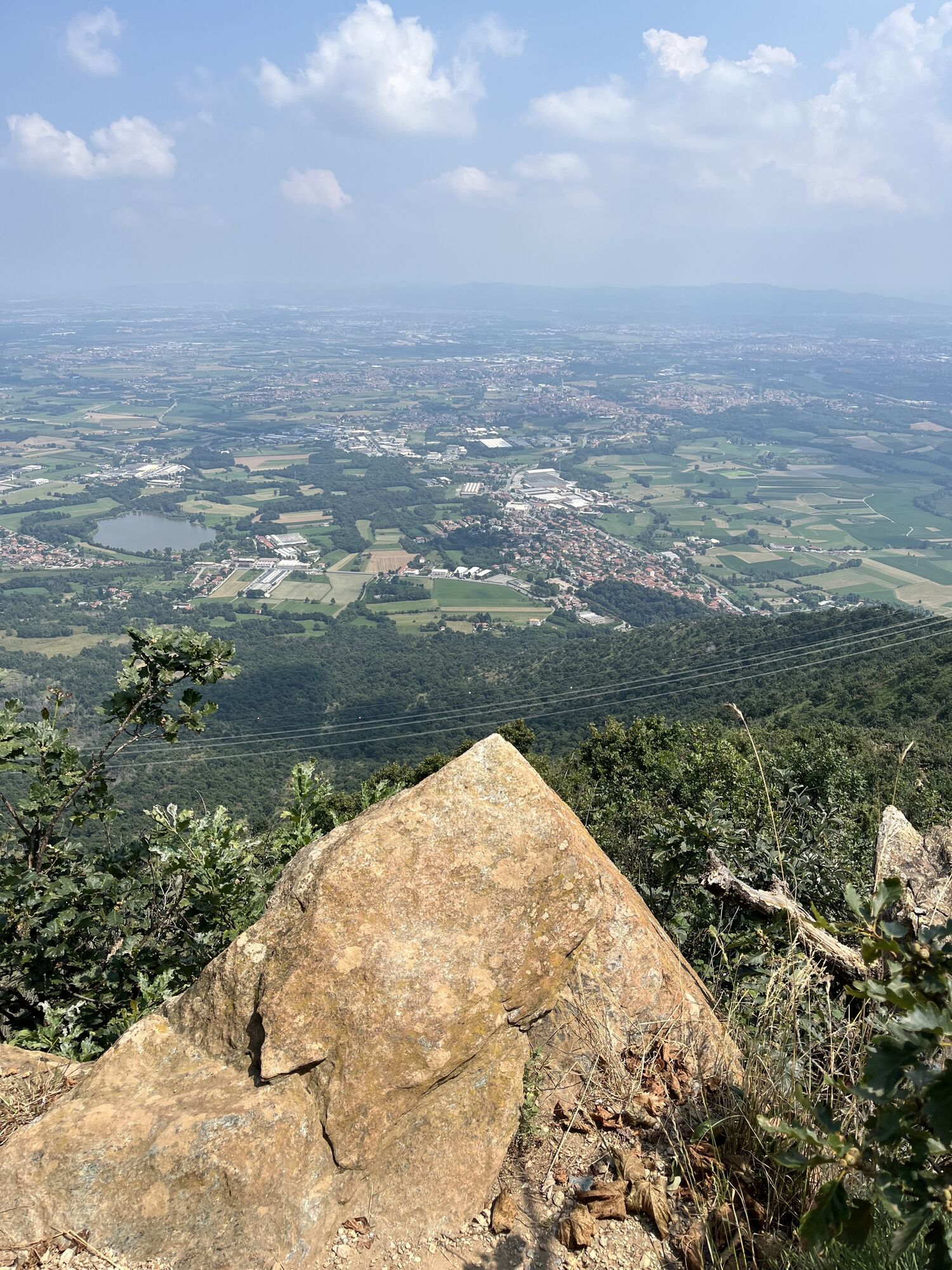
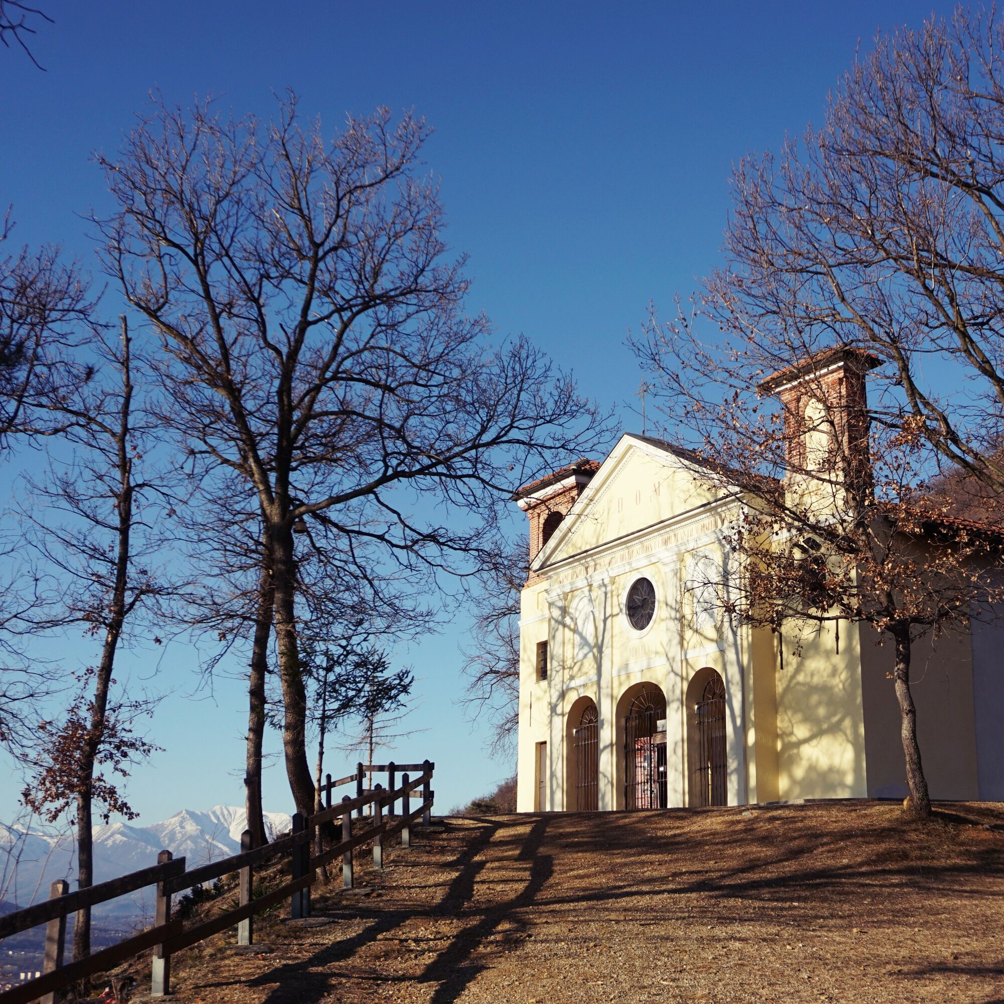
From the parking lot of the Caselette sports field, take the paved mule track with stations of the via crucis leading to the Sanctuary of Sant'Abaco. From here, continue on a path still very evident that...
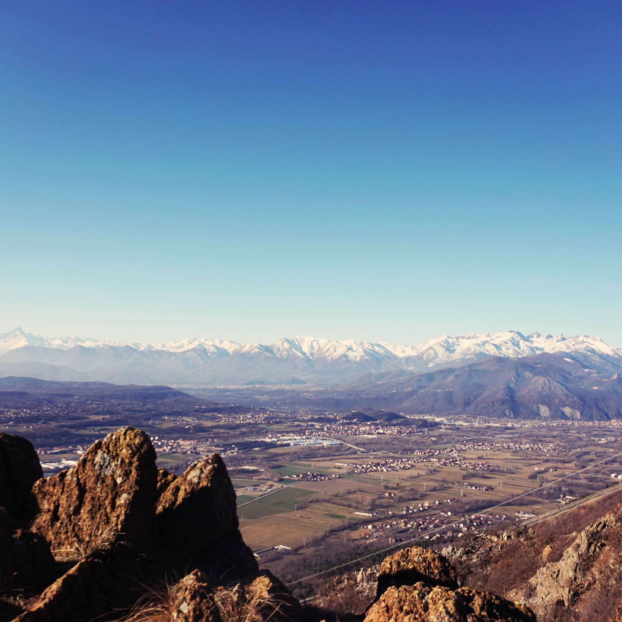
For the descent, take path no. 590 (yellow-blue marks) which descends steeply along the south side towards Milanere. At the fork, take the path on the left that descends into a larch and mountain pine wooded area. At the fork, continue towards Casellette following path 572b, which has gentler slopes. Towards the end of the path you encounter a nice panoramic point, with smoothed rocks and some stone engravings. Having reached the firebreak track, follow it back to the parking lot of the sports field.


Áno
Following the SS24 of the Monginevro you reach Caselette. Following the signs for Monte Musinè you arrive at a large square.
Possibility to park in the large square, or turn left onto the road leading to the sports field and leave the car on the roadside.
T2
Recommended route from October to May.
Feasible even in the presence of snow; in case of ice use hiking crampons.
Not recommended in late spring and summer due to heat (route is fully exposed to the sun, with scarce vegetation).
Aktivity počas prehliadky

Obľúbené výlety v okolí
-
4,7
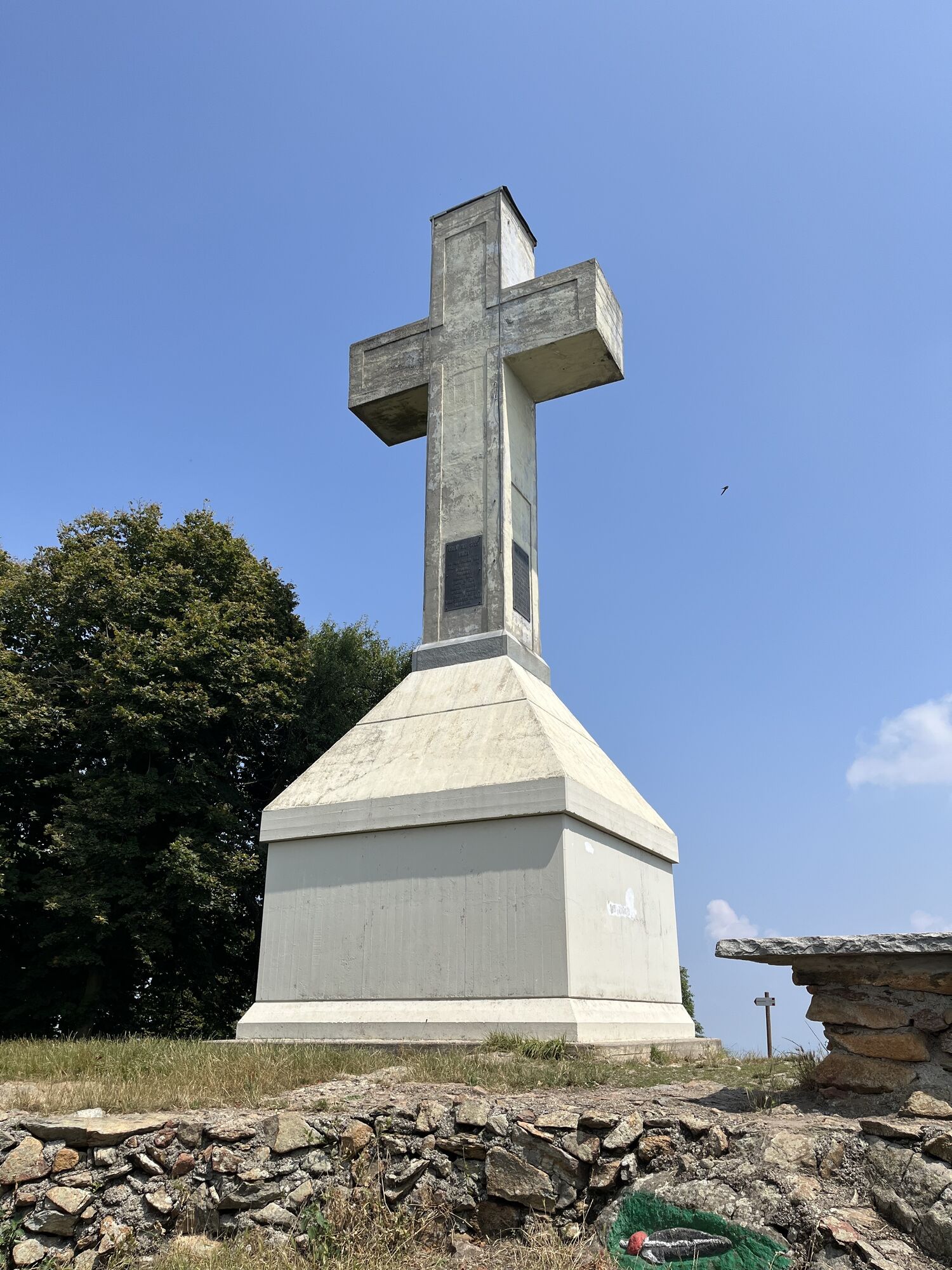
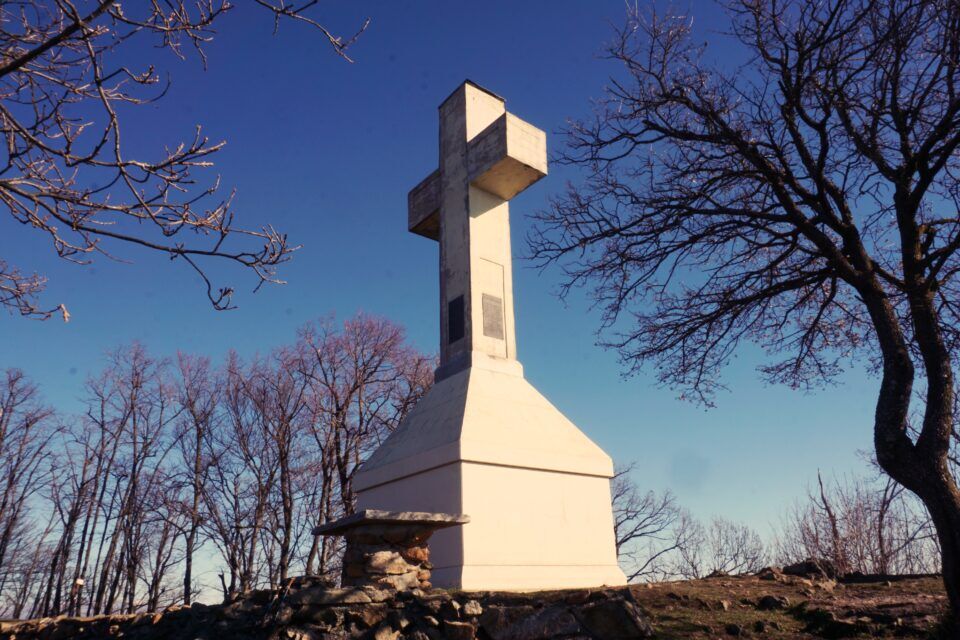
On the summit of the magical Musiné
svetloTuristika 6,94 km -
Avigliana Lakes - Easy route, ideal for families with children
svetloTuristika 9,25 km -
VALLO TORINESE Passo della Croce and the Turu
strednáTuristika 4,29 km -
COLLE DEL LYS Partisan Trail
strednáTuristika 11,6 km -
GIVOLETTO Madonna della Neve on Monte Lera
strednáTuristika 6,11 km -
5,0
Unspoiled woods and ancient hamlets in Valsangone - Selvaggio Loop - Bagaggera
svetloTuristika 9,08 km -
VARISELLA The ruins of the Baratonia castle, churches, and pools of Varisella
strednáTuristika 10,1 km -
Easy route - Monte Cuneo (Moncuni) Loop route from Reano
svetloTuristika 7,97 km -
COLLE DEL LYS Monte Arpone loop
svetloTuristika 4,50 km -
A walk in the Megalithic - The Menhirs of Pietraborga - Direct route from the Torrioni
strednáTuristika 9,30 km
Turistika a stopovanie


Nenechajte si ujsť ponuky a inšpiráciu na ďalšiu dovolenku
Vaša e-mailová adresa bol pridaný do poštového zoznamu.