


Matkalampi Trail, mountain biker's dream, Liperi's Kinttupolut
Úroveň náročnosti: S0
On the Matkalampi Trail, you enjoy the most beautiful needle trails of Liperi's Kinttupolut and varied terrain.
One highlight of the route is the paths of the Kotisalo Nature Reserve near a pond called...
On the Matkalampi Trail, you enjoy the most beautiful needle trails of Liperi's Kinttupolut and varied terrain.
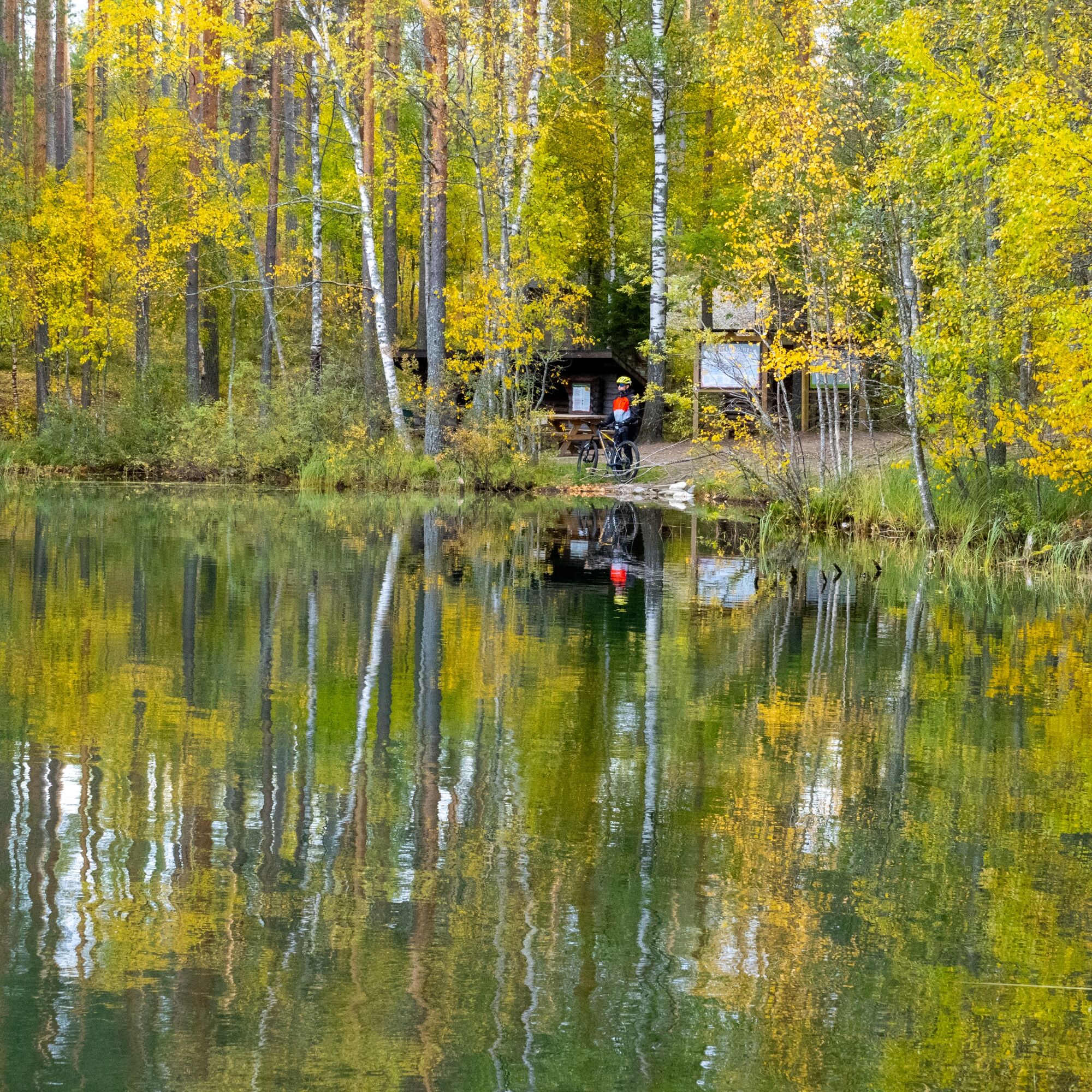
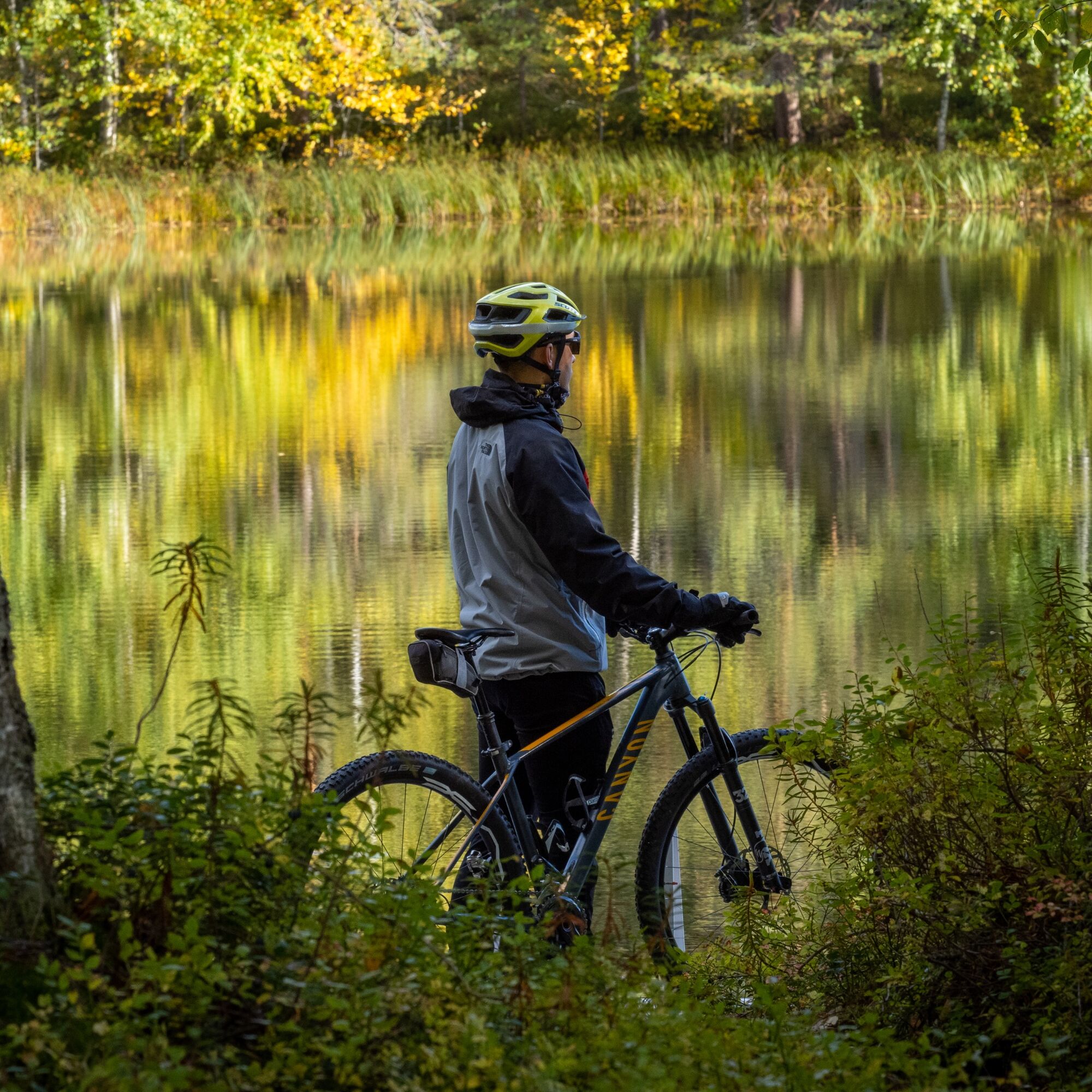
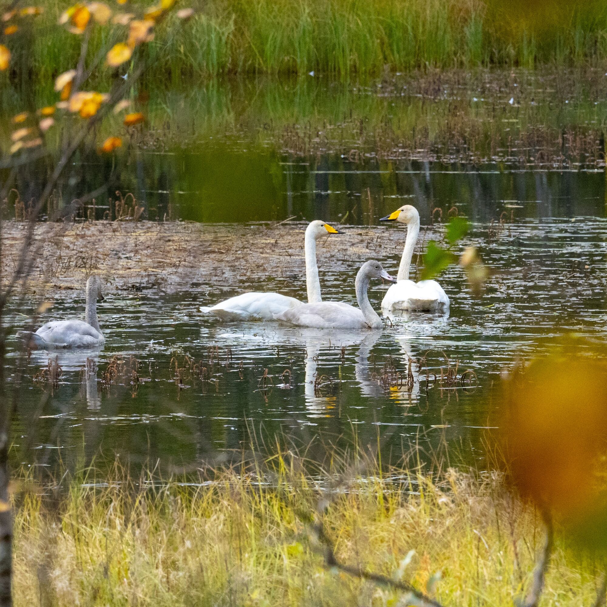
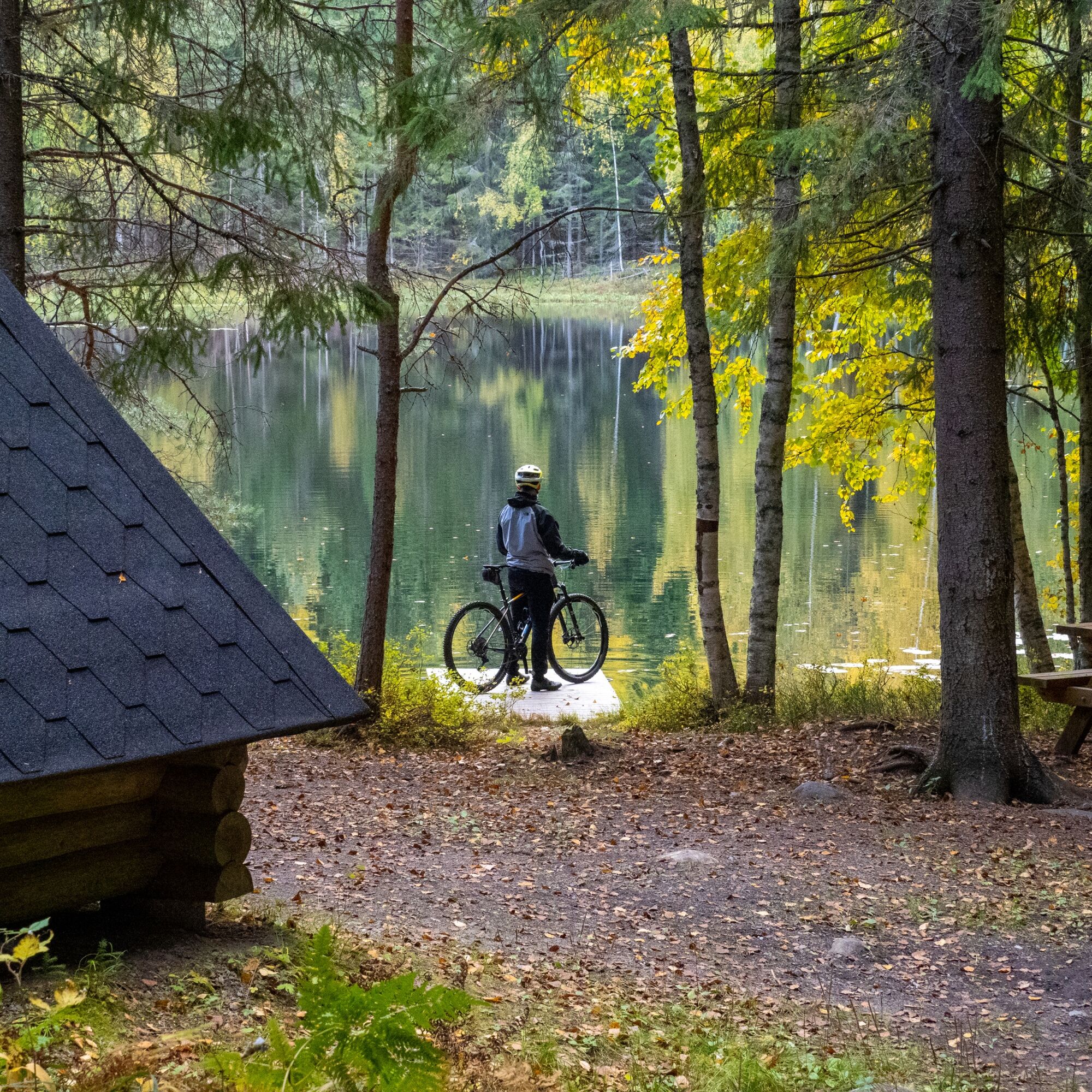
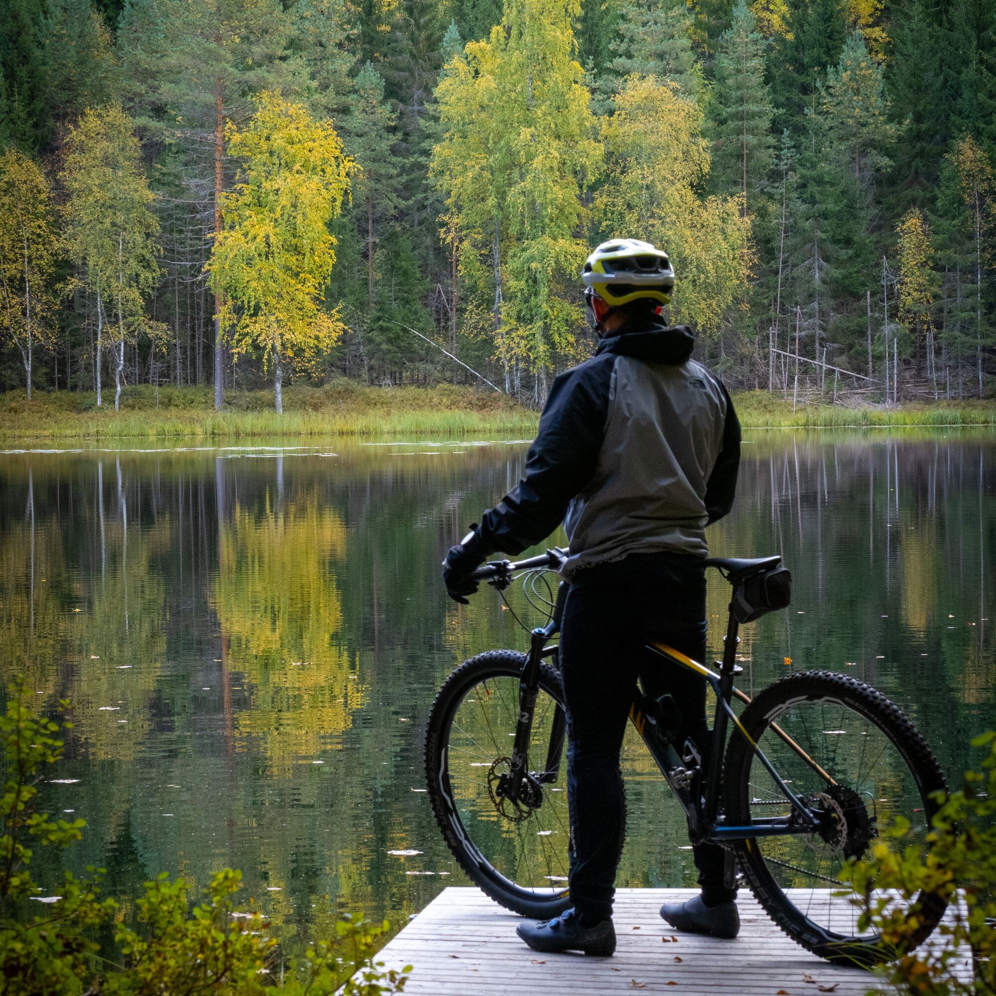
One highlight of the route is the paths of the Kotisalo Nature Reserve near a pond called Hovatta, where there is also a small swimming pier. The private nature reserve, funded by the Nature Heritage Foundation, private individuals, and companies, is known especially for ancient pines, among which you might hear a woodpecker tapping on dead trees. In a good blueberry summer, you will find delicious blueberries beside the trail. You can learn more from the introductory video about the Kotisalo Nature Reserve.
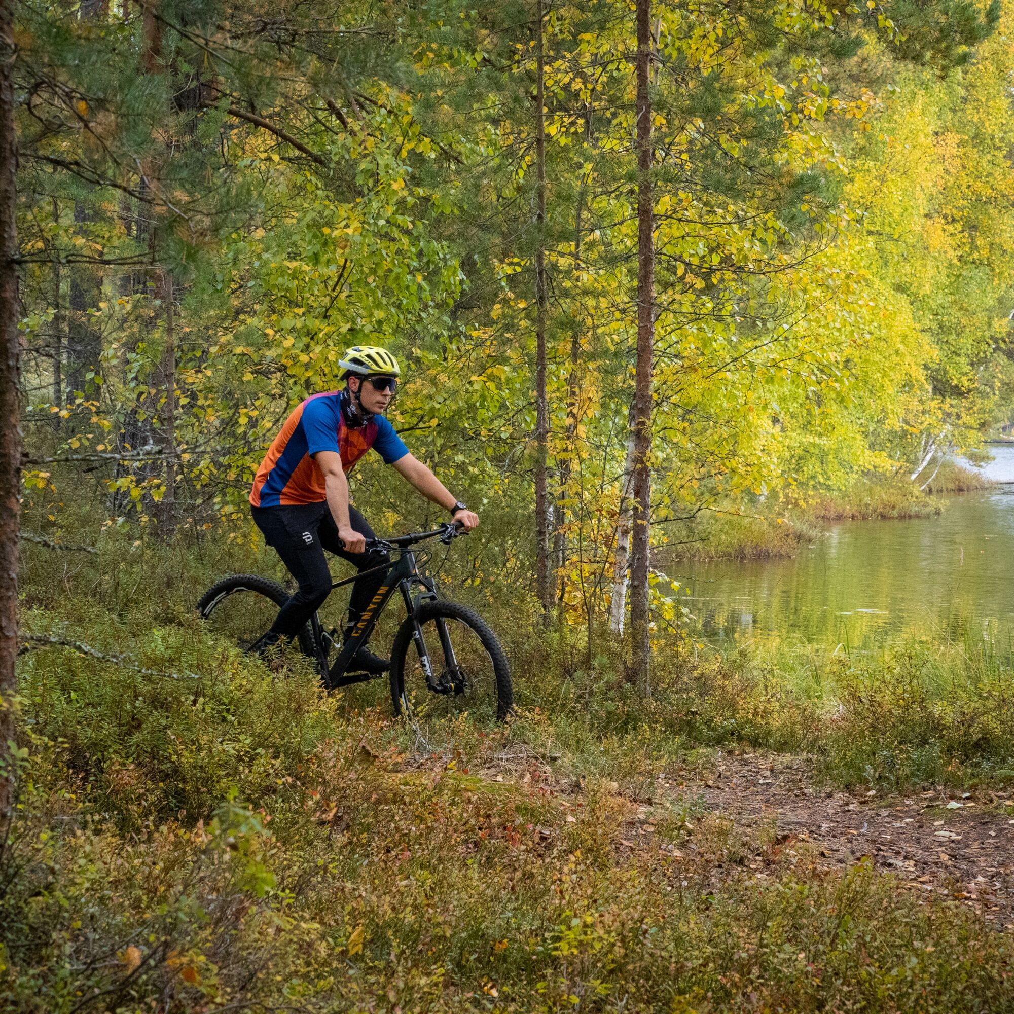
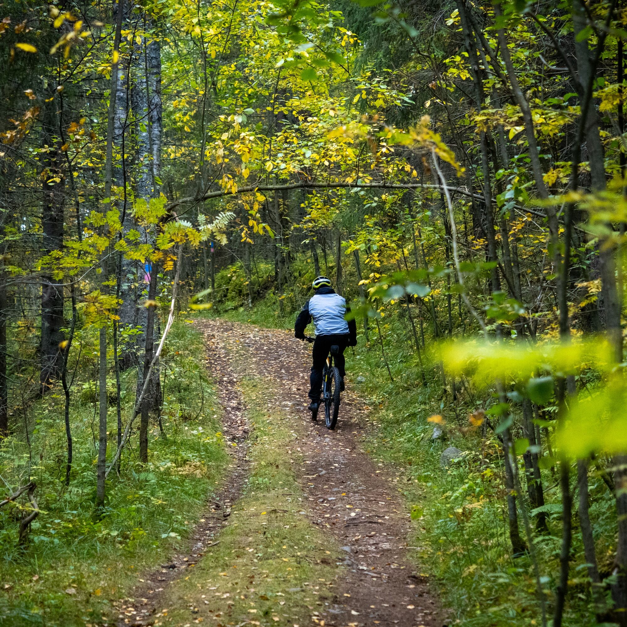
The Matkalampi Trail is 16 km in total and includes, in addition to needle trails, ski tracks, cart paths, cobblestone ridge trails, a few gravel road sections, and a beautiful path along Sompalampi's shore, where one of the route's lean-tos can also be found.
The Matkalampi Trail is mostly fast to ride except for a few rocky sections.

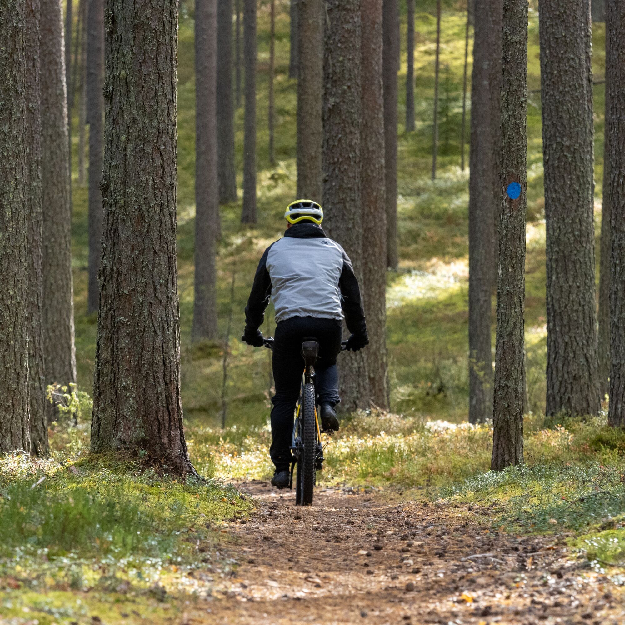
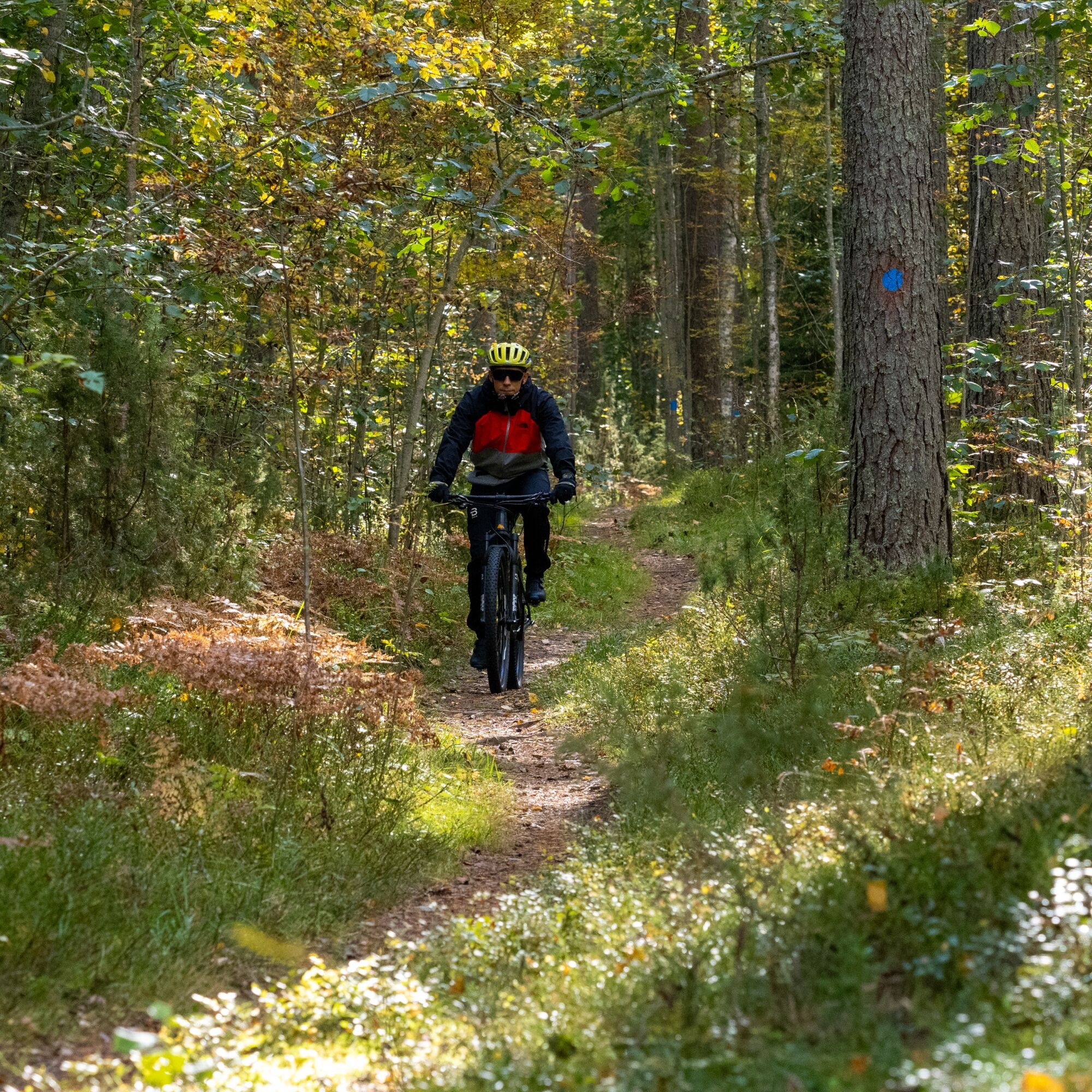

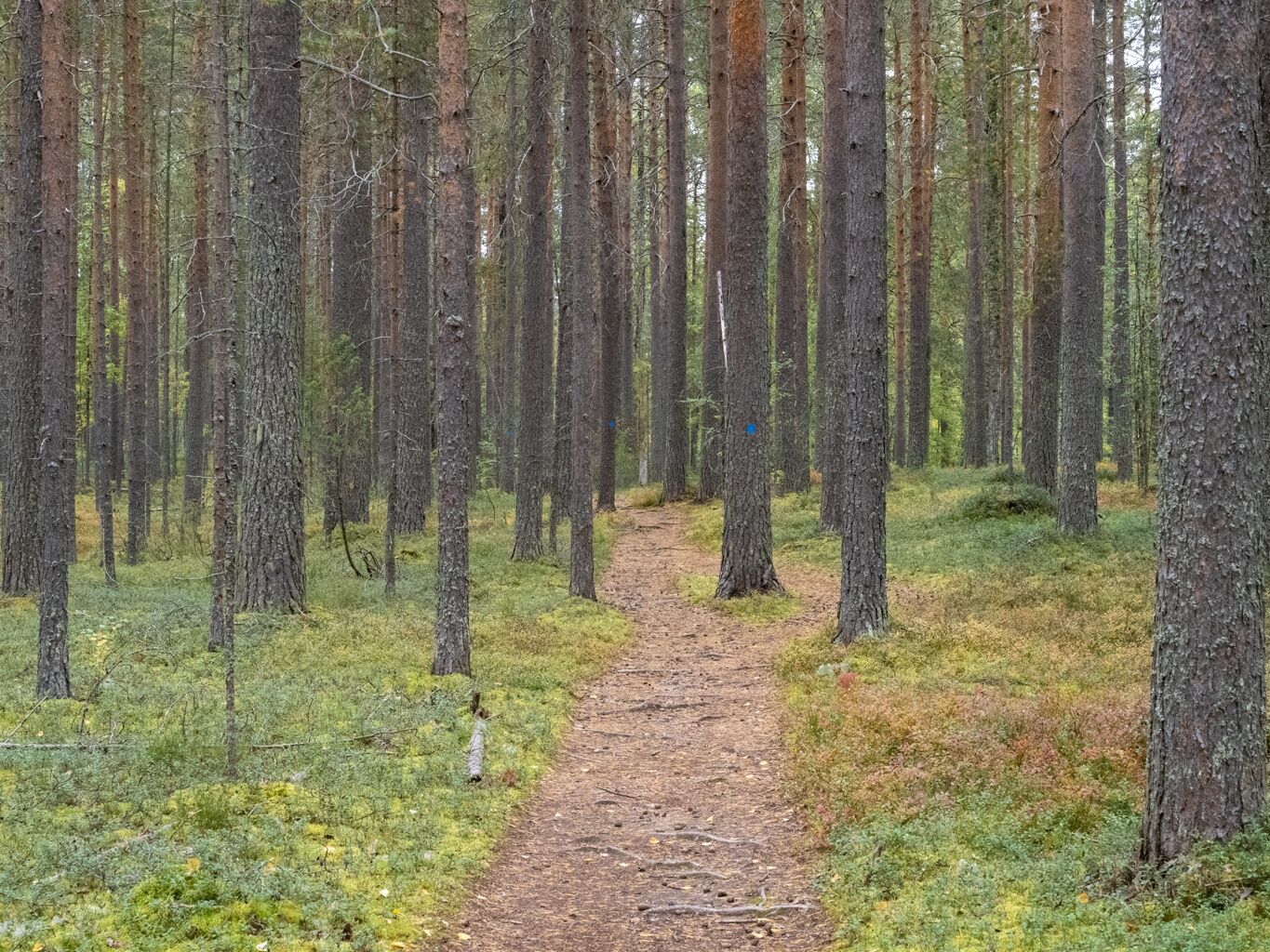

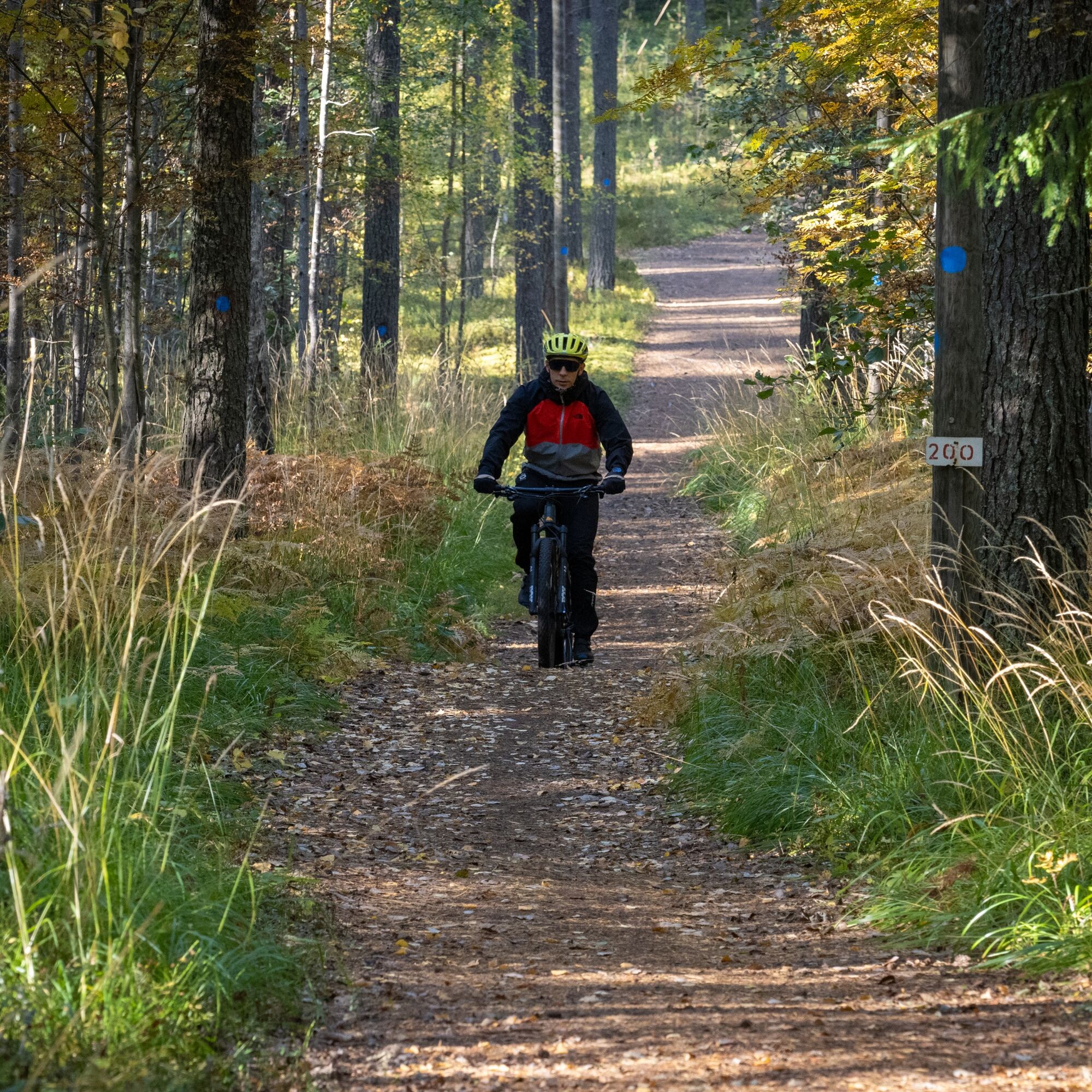
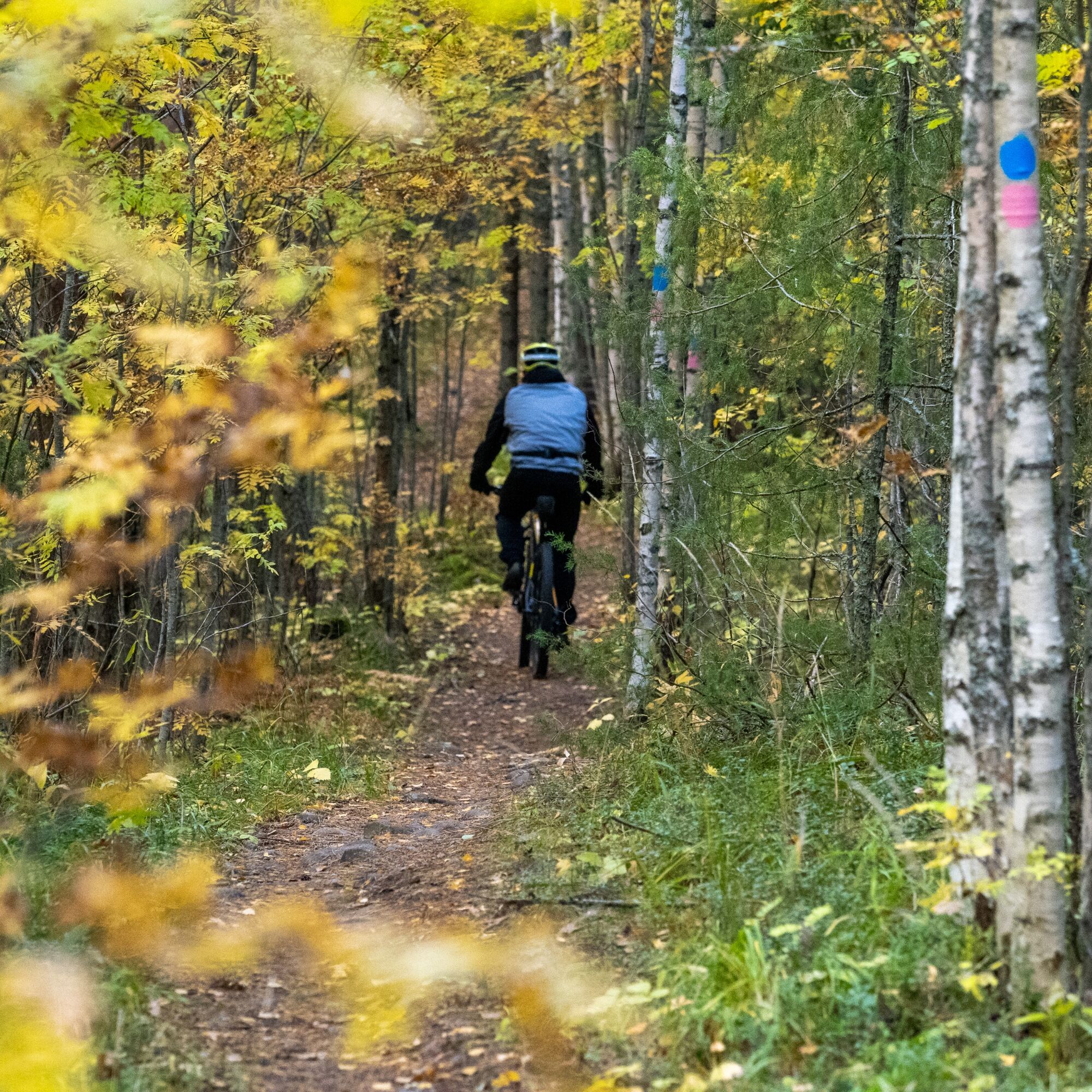
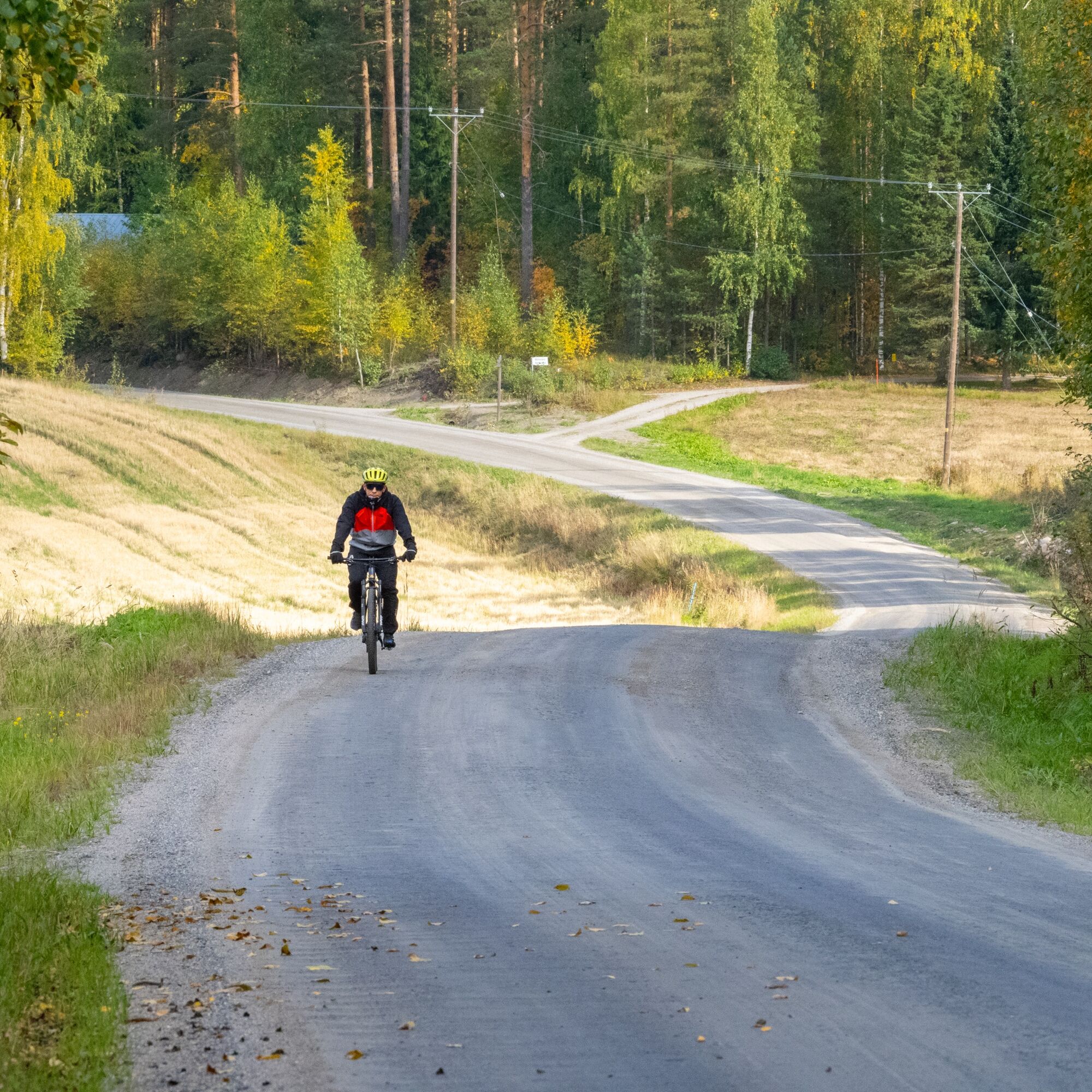
The Matkalampi Trail is marked on the terrain with blue color. It is easy to follow the route thanks to good guidance, but you can download the gpx file or print the Kinttupolut trail map if you wish. On the terrain, you can easily see your location from the guide maps at the trail intersections. On gravel road sections (2 x about 1.5 km) the trail markings are sparser, but the diverging trail is clearly visible.
Áno
Áno
Weather-appropriate clothing and gear
Sufficient drinks and snacks
Tools according to the length of the riding day (e.g. multitool, tire repair kit, inner tube)
With rainy weather, stones and roots are slippery.
Small first aid kit
112 app
Drive from Joensuu on highway 9 towards Kuopio about 13 km, exit at the Ylämylly junction and park at your chosen parking area.
There is regular bus traffic from Joensuu to Ylämylly, from where it is under one kilometer to Matkalampi Trail.
Check schedules on the Joensuu region public transport website https://jojo.joensuu.fi/.
Free parking at the official starting points of the route:
Honkalampi beach, address Honkaranta 2e Matkalammentie 1 (next to the Sompalampi lean-to) Pärnävaara outdoor center, Urheilutie 5A (3-7 km from here to Matkalampi Trail) Several auxiliary services and parking lots in Ylämylly center (shops, restaurants, service stations, cafes)S0
The nearest restaurants and shops are located in Ylämylly.
Check out other Kinttupolut routes and stop by, for example, Pahakala Trail in Kaprakka.Take a swim at the pier of Hovattalampi and admire the old forest of Kotisalo Nature Reserve (
Obľúbené výlety v okolí
-
Lykynlampi (Winter) Trail, Lykynpolut
svetloMountainbike 5,20 km -
Liperin Kinttupolut (the easiest trails accessed from Kaprakka)
svetloMountainbike 28,2 km -
Jaama Trail, easy circular route around Joensuu
svetloMountainbike 59,4 km -
Surmilampi Trail, Liperin Kinttupolut
strednáTrailrunning 6,55 km -
Joy of riding, the best parts of Joensuu region routes 184 km
strednáMountainbike 184,3 km -
Jyri Trail, Liperi Kinttupolut
strednáTrailrunning 16,0 km -
The active mountain biker’s dream, Liperi’s Kinttupolut
ťažkéMountainbike 62,9 km -
Kuhasalo accessible route
svetloTuristika 3,36 km -
The best trails in the Lykynpaths route at Lykynlampi
svetloMountainbike 15,4 km -
Pahakala Trail, Liperin Kinttupolut
svetloTuristika 12,3 km
Turistika a stopovanie


Nenechajte si ujsť ponuky a inšpiráciu na ďalšiu dovolenku
Vaša e-mailová adresa bol pridaný do poštového zoznamu.