



Valtavaaran huiputus Trail 5,7 km, Valtavaara-Pyhävaara Nature Reserve

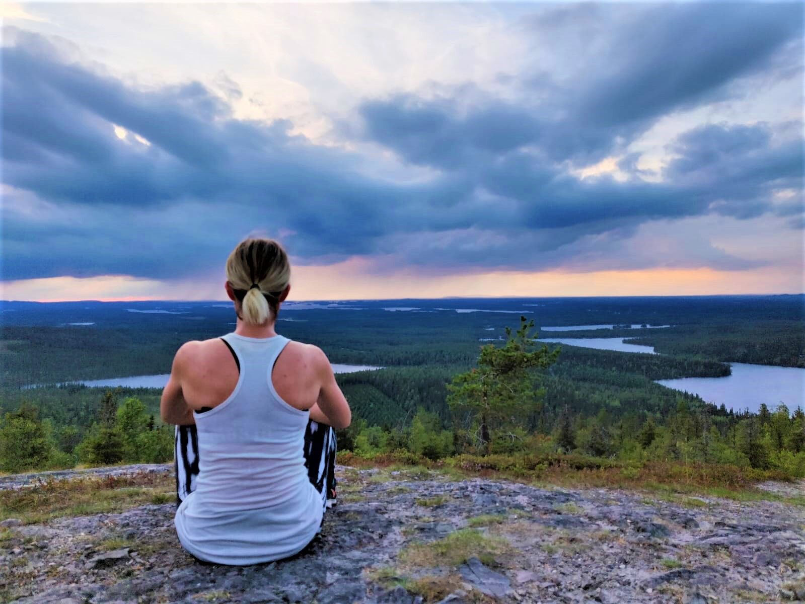
Valtavaaran huiputus trail is about 6 km long and follows Karhunkierros Trail from Ruka to the day trip hut (old fire guard's cabin) at the top of Valtavaara hill. From the top of Valtavaara the trail...
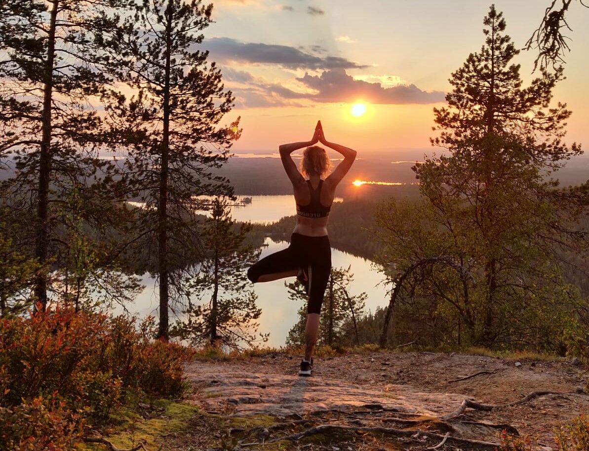
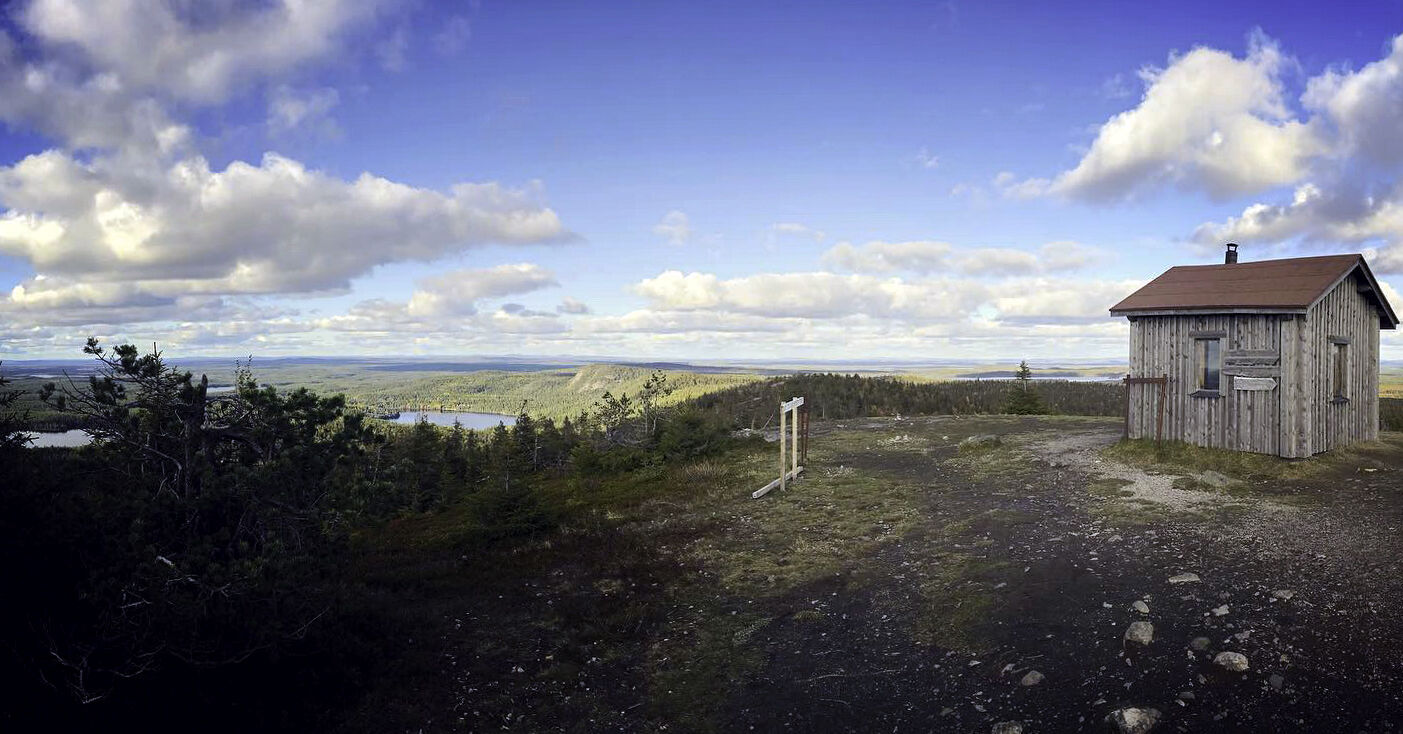
Valtavaaran huiputus trail is about 6 km long and follows Karhunkierros Trail from Ruka to the day trip hut (old fire guard's cabin) at the top of Valtavaara hill. From the top of Valtavaara the trail descends to Campfire hut "kota" and returns to Ruka along the eastern side of Valtavaara Hill.
The uphill hike along Karhunkierros trail is rocky and demanding at times but there are also stairs and handrails to make the hike easier. The downhill hike from the top towards Valtavaaran kota Lappish hut is more gently sloping and the route has parts with duckboards.
This hiking trail has three nice spots for having a break:
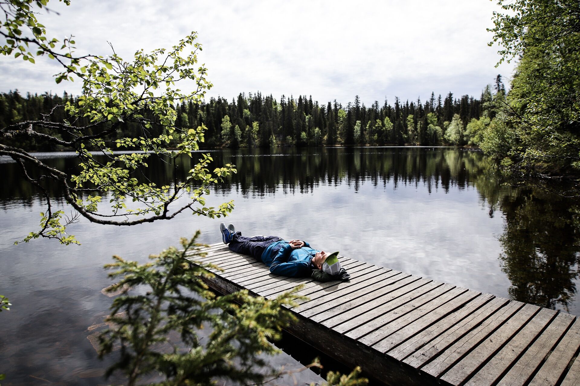
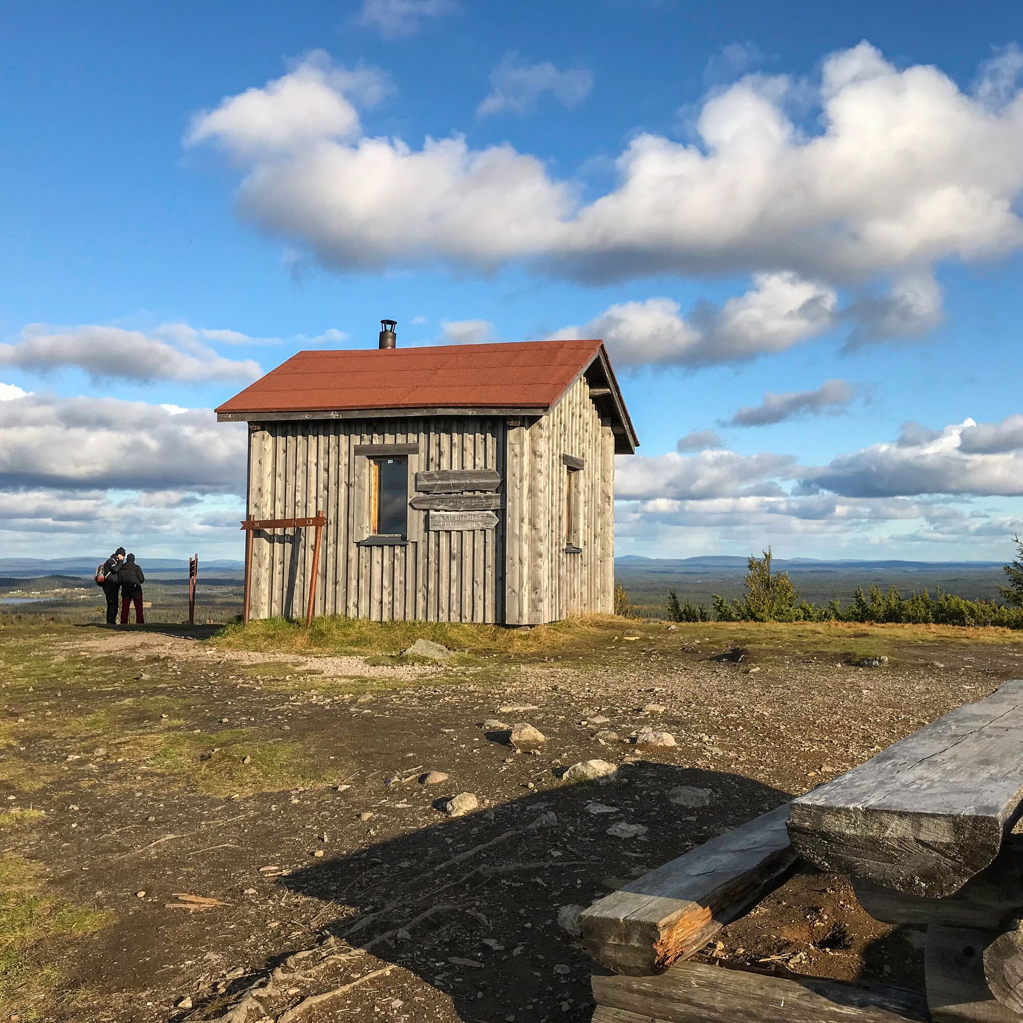
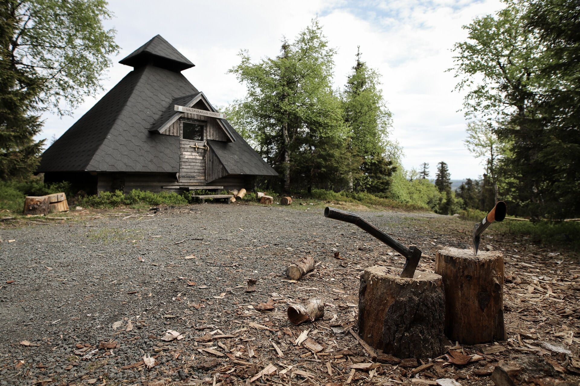
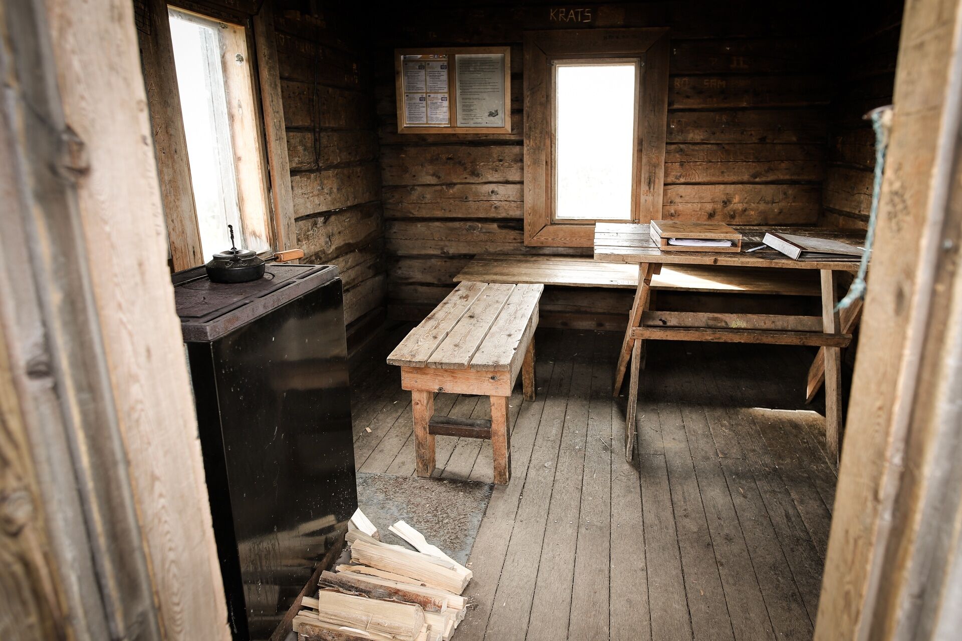
Lean-to shelter on waterfront of Valtavaaranlampi pond is nice on a warm and sunny weather (you can also find a dry toilet from this spot) Top of Valtavaara has a picnic table outdoors and a day trip hut that has a stove. Hut is a great shelter from the wind and for colder days Valtavaaran kota Campfire hut is located 300 m from the top (find dry toilet and fire woods here)

Áno
If you face an emergency on your hike, e.g. get lost, get injured or observe wildfire, call 112 and report an emergency.
Read more about securing your safety during hiking in Nationalparks.fi.
The starting point for Valtavaaran huiputus Trail is at Saarua parking area in east side of Ruka (address: Ahonjussintie 7, see in Google Maps)
You can also start the hike directly from Ruka Village, from the starting point for Karhunkierros Trail (adds approximately 2 km to the round-trip hike). Karhunkierros starting point is located on the front slopes of Ruka Ski Resort, between Scandic Hotel Rukahovi and restaurant Piste.
Free parking at Saarua parking area.
For parking in Ruka Village, see options in Ruka web pages.

Obľúbené výlety v okolí
-
4,7
Pieni Karhunkierros Trail 12 km, Oulanka National Park
ťažkéTuristika 11,6 km -
Pieni Karhunkierros Snowshoe Trail 12 km, Oulanka National Park
ťažkéSnežnice 11,9 km -
Vuosseli Outdoor Trail, Ruka Ski Resort, Kuusamo
svetloTuristika 11,7 km -
Vuosseli XC mountain biking trail in Ruka, Kuusamo
svetloMountainbike 11,7 km -
Juhannuskallio snowshoe trail in Ruka, Kuusamo
svetloSnežnice 0,51 km -
Pyhän jyssäys Trail 6 km, Valtavaara-Pyhävaara Nature Reserve
strednáTuristika 5,81 km -
Rukankierros XC Circle Trail around Ruka Ski Resort, Kuusamo
svetloMountainbike 8,60 km -
Juhannuskallio trail in Ruka, Kuusamo
svetloTuristika 0,51 km -
Kivilampi XC mountain biking trail in Ruka, Kuusamo
svetloMountainbike 5,05 km -
Ruka Scenic Trail
svetloTuristika 0,67 km
Turistika a stopovanie


Nenechajte si ujsť ponuky a inšpiráciu na ďalšiu dovolenku
Vaša e-mailová adresa bol pridaný do poštového zoznamu.


