



Vuosseli Outdoor Trail, Ruka Ski Resort, Kuusamo

This 12 km long easy hiking trail goes around Vuosselijärvi. The trail offers beautiful views towards Rukatunturi. The small ponds and marshes along the way are especially beautiful during the autumn foliage...
This 12 km long easy hiking trail goes around Vuosselijärvi. The trail offers beautiful views towards Rukatunturi. The small ponds and marshes along the way are especially beautiful during the autumn foliage season.
The route is easy and it does not have significant elevation changes.
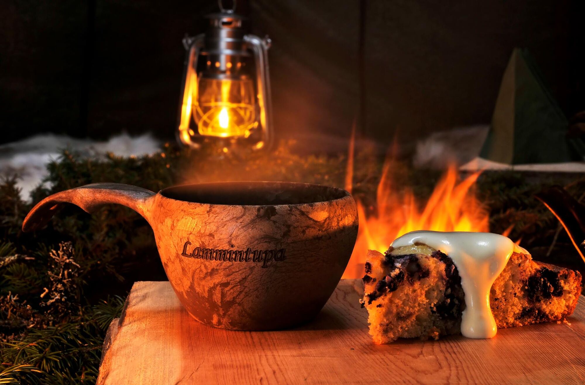
Trail markings: Vuosselin reitti signs Ski trail cafés along the route: Uuttusuon Taukomaja, Korpikahvila, and Lammintupa Café. Open during the winter season.Vuosseli outdoor trail is a multi-purpose trail that you can cycle and walk on all year round. In winter, there is also a traditional and freestyle skiing track. Walking dogs on the multi-purpose route is only allowed in summer.

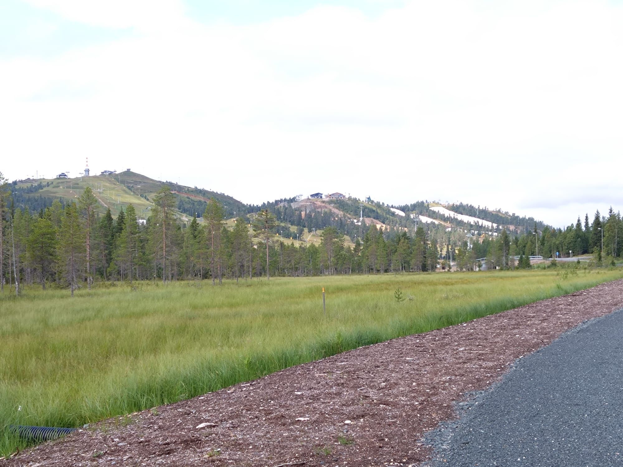
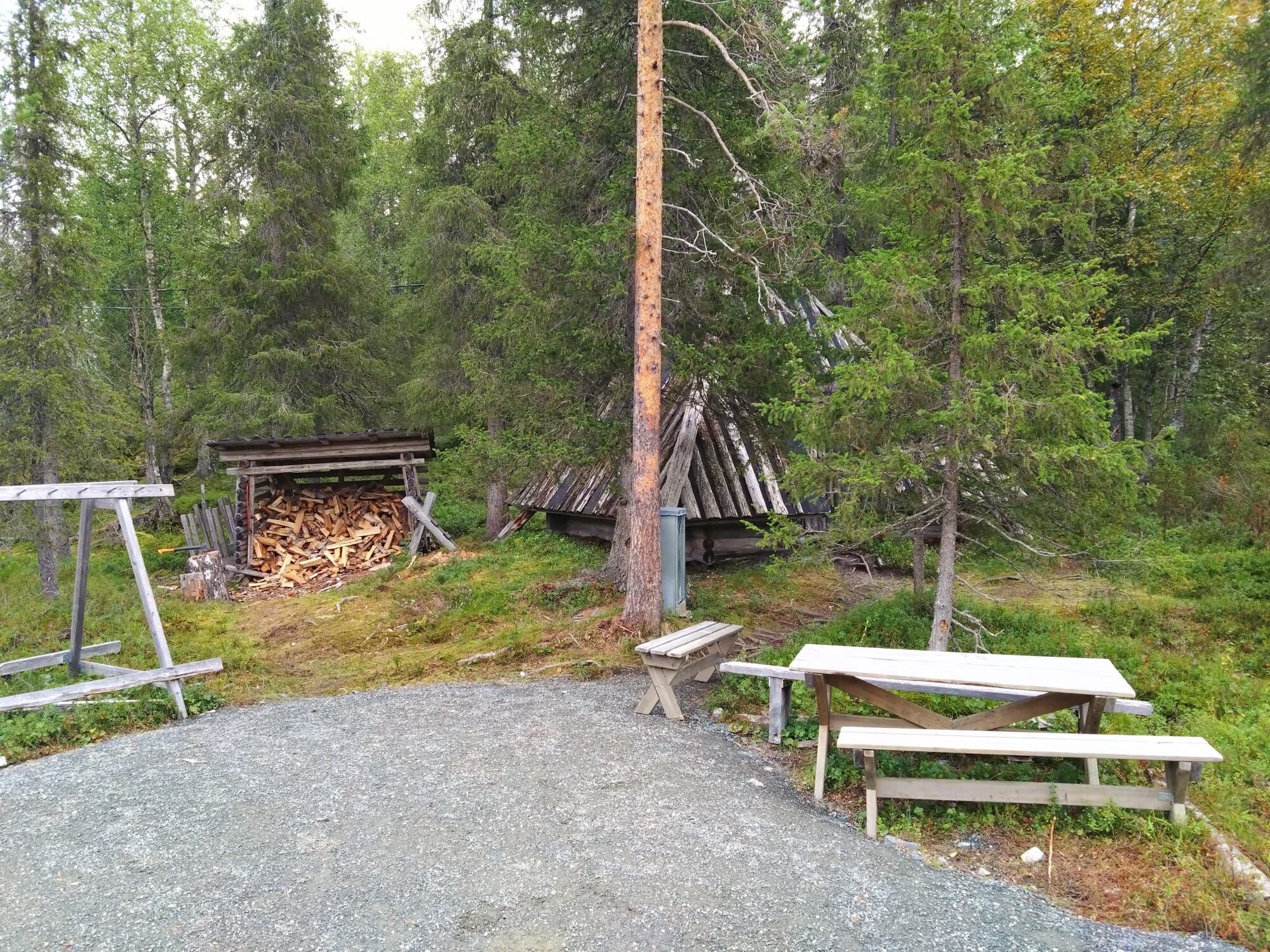
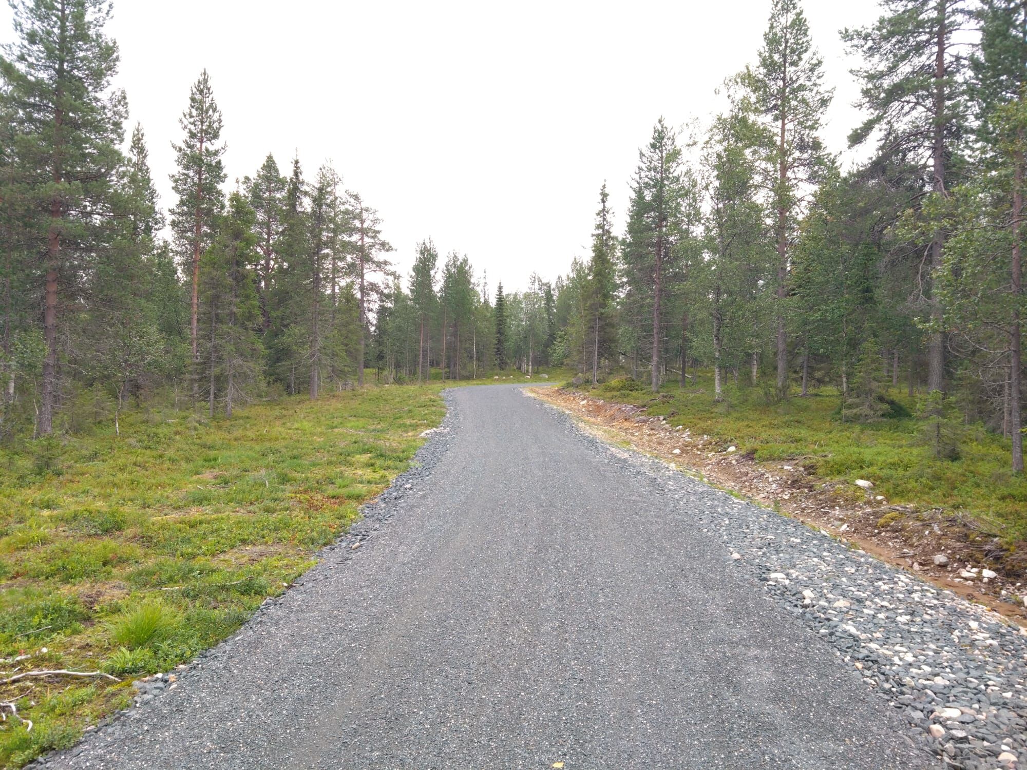
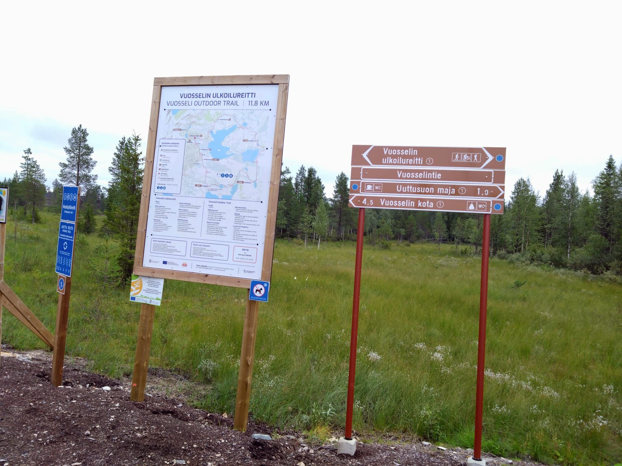

This route is a circular route and it is located near the Ruka ski resort. Along the route, there are route markings and signboards, where you can find, among other things, a route map, route label and location information.
Áno
The recommended direction of the outdoor trail is counter-clockwise (Saarua-aho underpass – Uuttusuo – Korpikafila – Lammintupa – Vuosseli hut). It is good to take the direction of travel into account during the winter, when there are separate paths for walkers, cyclists and skiers.
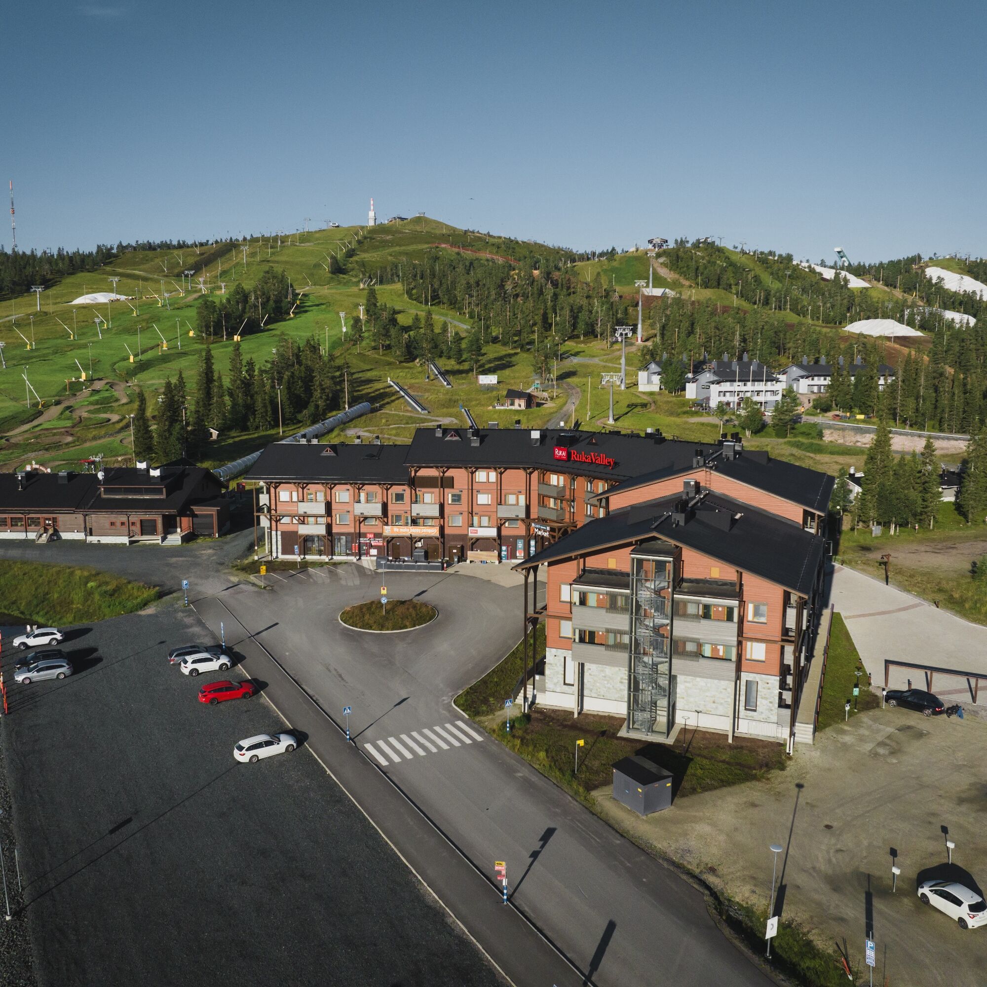
An easy place to start the trail is from the Vuosseli area, next to the ski slopes. In Vuosseli, the trail starts on the opposite side of Vuosselintie road, next to the parking area.
By car the distance from Ruka Village to Vuosseli is 4,9 km, and 25 km from Kuusamo.
See info on arriving to Ruka Ski Resort here.
Closest airport: Kuusamo (27 km). A regular bus connection between the airport and Kuusamo, Ruka, and Salla operates according to the flight schedules. Information about the public transport to and from Kuusamo airport can be found on the Finavia web pages.
Vuosseli valley station: a very large parking area, accessible both from Vuosselintie and Jussinkuja roads. Note: You need to cross Vuosselintie road in order to access Vuosseli trail. Address: Vuosselintie 21, see in Google Maps.
Uuttusuo Cafe, Kinospolku 25: a small parking area near the cafe/trail, but there is also a large parking area along Vuosselinrinne road (a bit north from the crossroads of Kinospolku and Vuosselinrinne road), also allowing access to the trail.
Lammintupa Winter Village: a large parking area available for guests.
Along the route there is a fire place for taking breaks. There are also a few cafés along the route that serve route users in the winter season.
Obľúbené výlety v okolí
-
Valtavaaran huiputus Trail 5,7 km, Valtavaara-Pyhävaara Nature Reserve
strednáTuristika 5,76 km -
Vuosseli XC mountain biking trail in Ruka, Kuusamo
svetloMountainbike 11,7 km -
4,0
Nissinvaara XC Biking Trail in Kuusamo
svetloMountainbike 28,6 km -
Juhannuskallio snowshoe trail in Ruka, Kuusamo
svetloSnežnice 0,51 km -
Pyhän jyssäys Trail 6 km, Valtavaara-Pyhävaara Nature Reserve
strednáTuristika 5,81 km -
Rukankierros XC Circle Trail around Ruka Ski Resort, Kuusamo
svetloMountainbike 8,60 km -
Juhannuskallio trail in Ruka, Kuusamo
svetloTuristika 0,51 km -
Kivilampi XC mountain biking trail in Ruka, Kuusamo
svetloMountainbike 5,05 km -
Ruka Scenic Trail
svetloTuristika 0,67 km -
Valtavaara Winter Trail 5.5 km, Valtavaara-Pyhävaara Nature Reserve
ťažkéSnežnice 4,83 km
Turistika a stopovanie


Nenechajte si ujsť ponuky a inšpiráciu na ďalšiu dovolenku
Vaša e-mailová adresa bol pridaný do poštového zoznamu.


