


eBike MNCA stage 3: St-Etienne-de-Tinée - Isola 2000
Along the small road that runs beside the Tinée, follow the markers until you reach the M2205C road where you turn left. At that point, take a look at the Clapière! The largest geological collapse in...
Along the small road that runs beside the Tinée, follow the markers until you reach the M2205C road where you turn left. At that point, take a look at the Clapière! The largest geological collapse in Europe!
Proceed carefully for 350 m on this busy road, then take the cycle path on the right that leads to the hamlet of Bourguet (1054 m).
Continue on the M2205 to Cialancier where you meet the cycle path again.
Feeling adventurous? 5 km away, on the M61, is Roya (1500 m) and its restaurant in a wonderful setting!
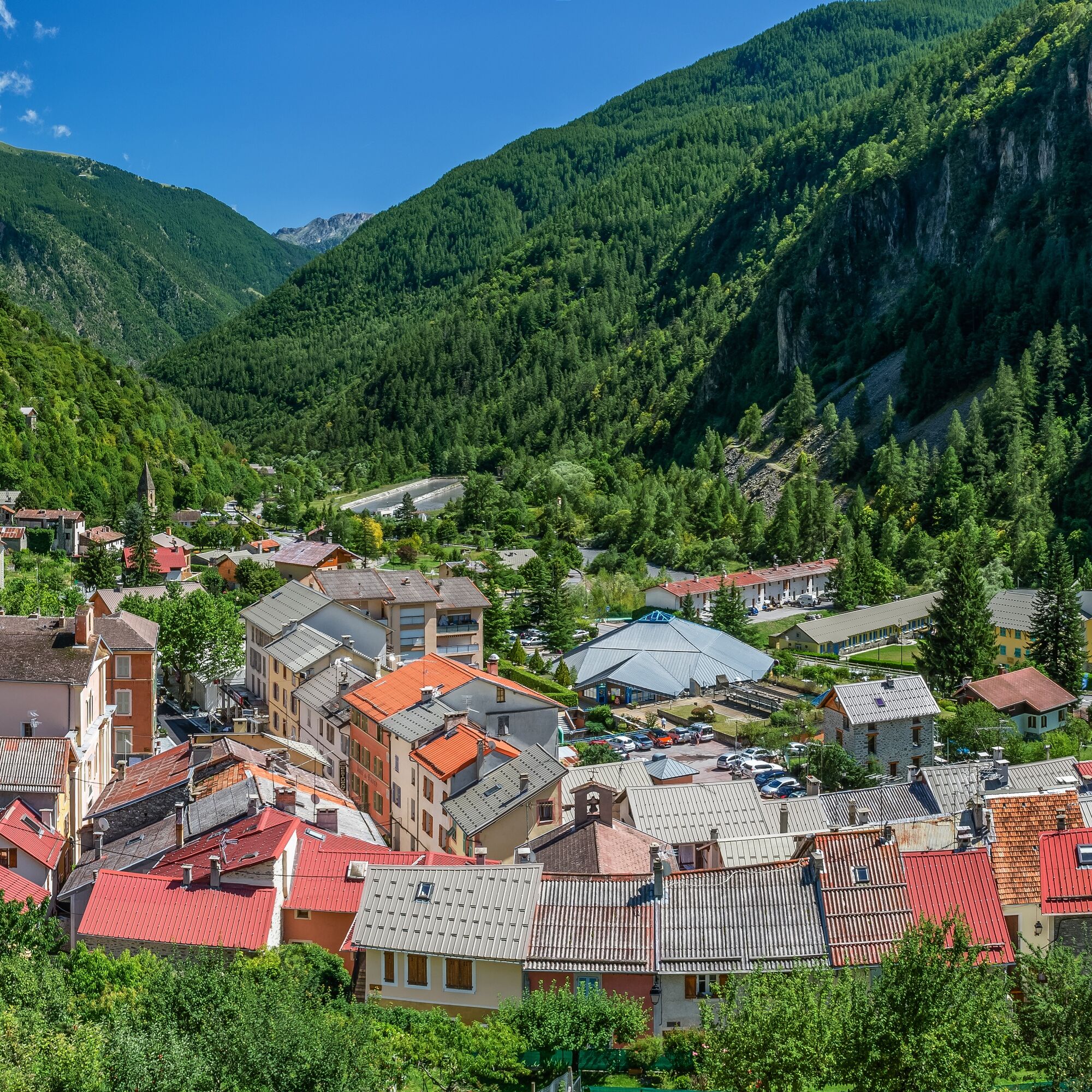
You then alternate between road and cycle path until the village of Isola (870 m). It’s time for a well-deserved break…
Attack the long climb to Isola 2000 (17 km at an average of 6.5%). The route alternates between the current wide road and the old one, now a bucolic track. Watch for the signs and be careful because mountain bikers can also come down these routes, and there are bumps! aloura leva ti dàu mitan! (there are crazy ones, don’t stay in the middle)
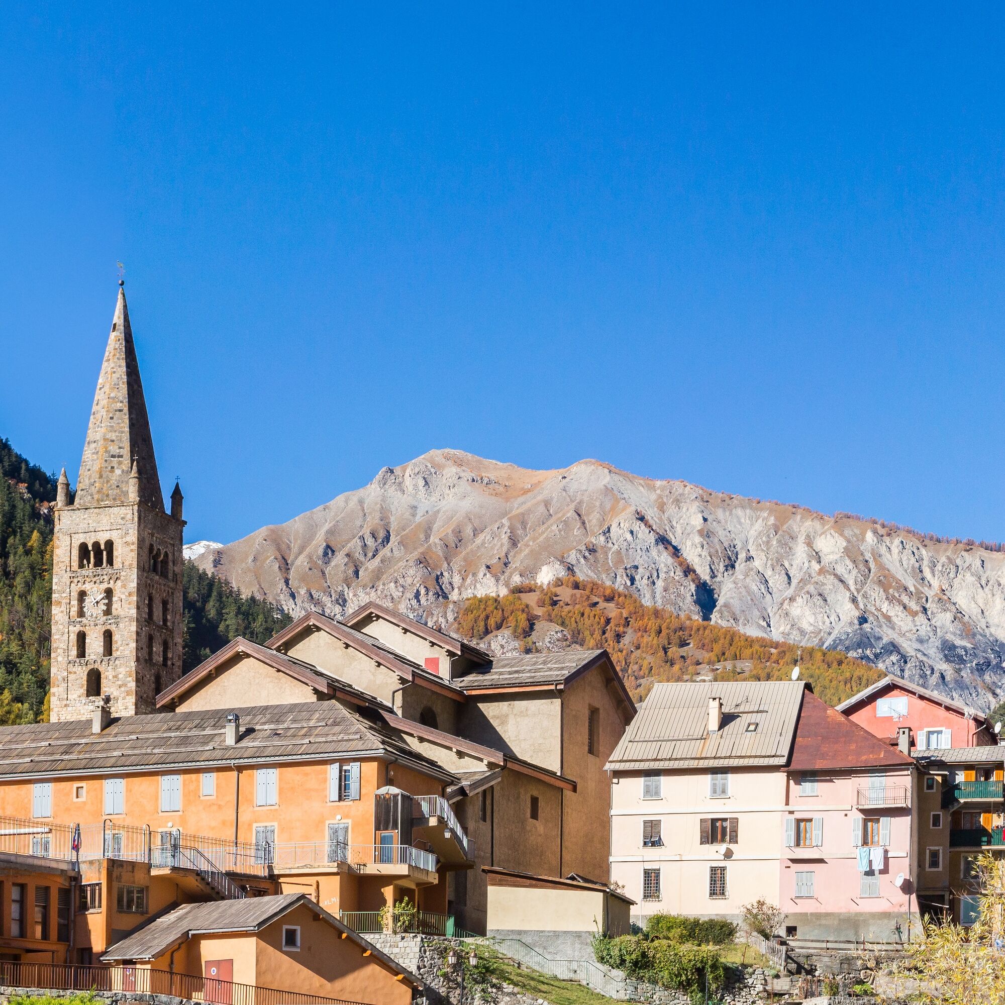
Short stop at Chastellar (1658 m), to take a breath and discover this place full of Franco-Italian history!
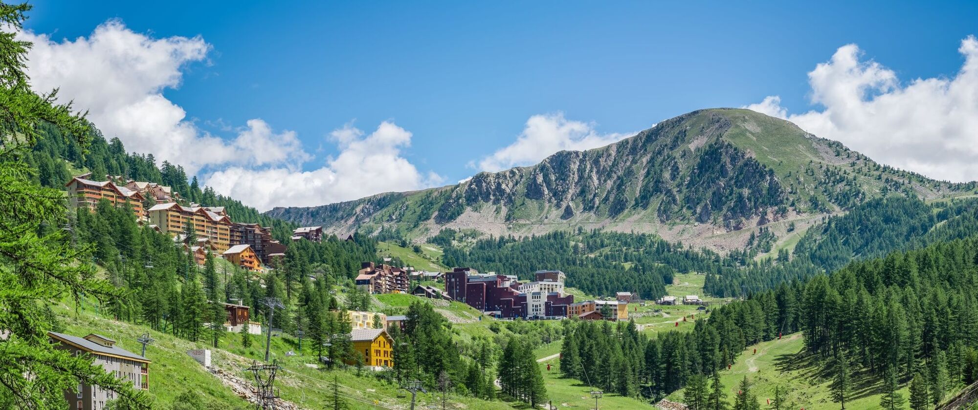
You’re almost there! The arrival at the Isola 2000 resort is very close!
Áno
Wear a helmet, bring protective equipment and repair accessories.
Watch the weather: Mountain weather changes quickly, bring warm clothes.
The national park is a protected and regulated area: use only the tracks allowed for mountain bikers.
Follow marked trails, do not take shortcuts and respect the direction of routes.
Before starting on a route, check that it suits your level, check the condition of your mountain bike and leave your route details with someone.
Be careful, courteous, and slow down when overtaking other users.
Be extra cautious during hunting season and inquire about ongoing hunts.
If you encounter livestock guardian dogs (= patous), get off your bike, avoid sudden movements and go around the herd.
Respect private property, cultivated areas and close gates behind you.
Have an eco-friendly attitude: take your rubbish with you and respect wildlife and flora for preserved nature.
Always carry the IGN map corresponding to the concerned route.
The Lignes d’azur network offers a single fare across the entire Metropolis Nice Côte d’Azur. Validation is mandatory each time you board the bus regardless of the ticket used. To check all fares, click here: www.lignesdazur.com
All outdoor activities of the Metropolis Nice Côte d'Azur are on https://outdoor.nicecotedazur.org
Obľúbené výlety v okolí
-
4,0
Goldtoni - Alpenbogen A078 Bousiéyas-Roya
strednádiaľková pešia trasa 31,3 km -
5,0
Goldtoni - Alpenbogen A107 Refugio Malinvern-Strepeis
strednádiaľková pešia trasa 25,9 km -
1,0
Durch das Valle di rio freddo
strednáTuristika 15,7 km -
FFC cycling circuit no. 33: the Tinée cycle path
svetloCestný bicykel 29,4 km -
5,0
Goldtoni - Alpenbogen A079 Roya-Saint Sauveur sur Tinée
strednádiaľková pešia trasa 38,6 km -
Mercantour to Nice Electric Mountain Bike Route "e-bike MNCA"
strednáMountainbike 236,3 km -
Discovering the Natura 2000 site "Bat site of the Haute-Tinée" - starting from St Etienne de Tinée (sporting level)
strednáTuristika 7,43 km -
5,0
Goldtoni - Alpenbogen A108 Strepeis-Sambuco
strednádiaľková pešia trasa 16,1 km -
VTT FFC circuit no. 57: the Demandols cow barn / Bercha
strednáMountainbike 22,5 km -
Lombardy snowshoe hike
strednáSnežnice 4,09 km
Turistika a stopovanie


Nenechajte si ujsť ponuky a inšpiráciu na ďalšiu dovolenku
Vaša e-mailová adresa bol pridaný do poštového zoznamu.