






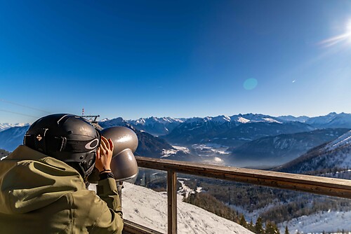
Discovering the Natura 2000 site "Bat site of the Haute-Tinée" - starting from St Etienne de Tinée (sporting level)

This hike starting from Saint-Etienne-de-Tinée lasts about 4 hours. Allow extra time to fully enjoy the exceptional landscape.
Warning, this hike is sporty and not accessible for people with reduced mobility.
Alternative:...
This hike starting from Saint-Etienne-de-Tinée lasts about 4 hours. Allow extra time to fully enjoy the exceptional landscape.
Warning, this hike is sporty and not accessible for people with reduced mobility.
Alternative: the route is easier starting from Saint-Dalmas-le-Selvage / see outdoor sheet
All outdoor activities of the Métropole Nice Côte d'Azur are on https://outdoor.nicecotedazur.org

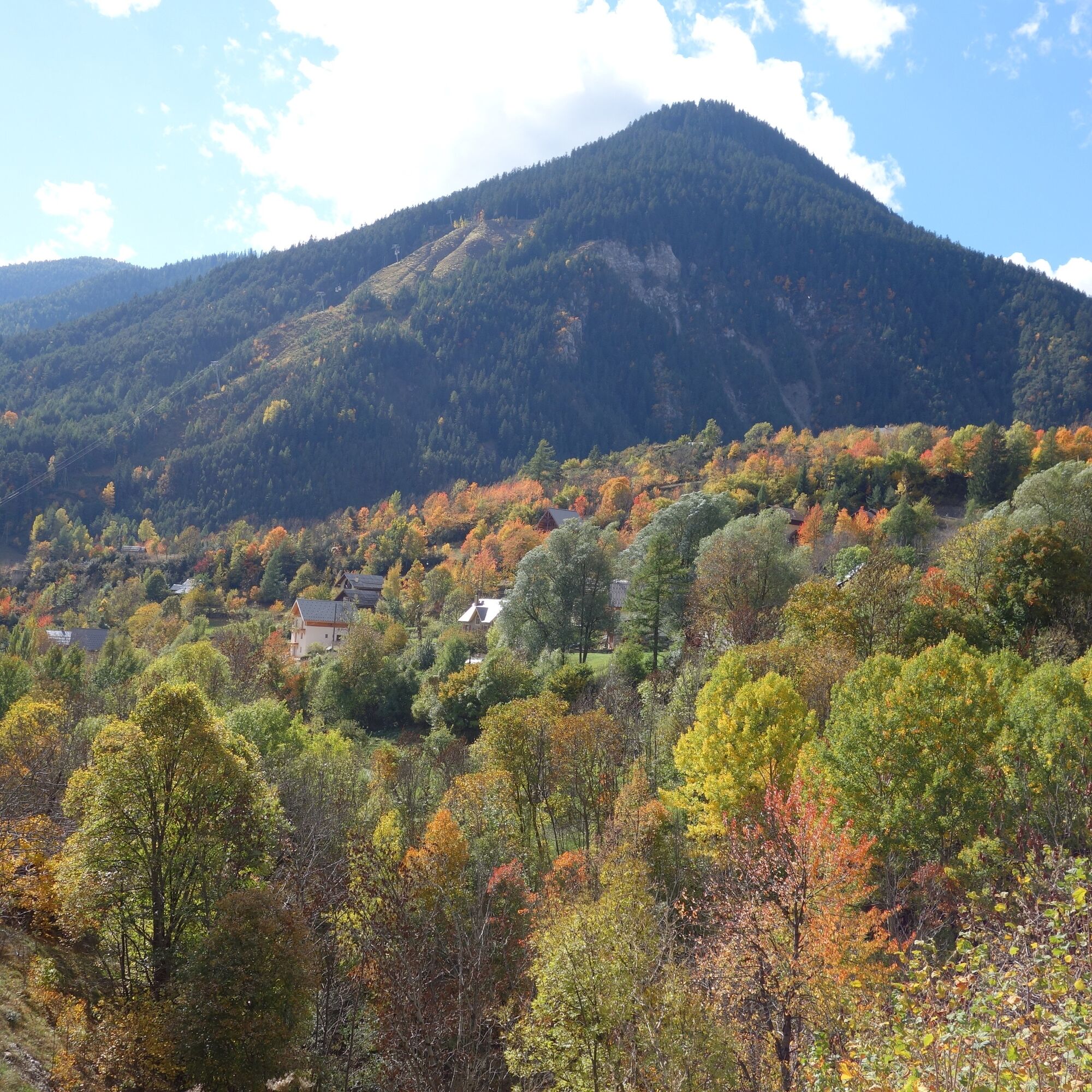


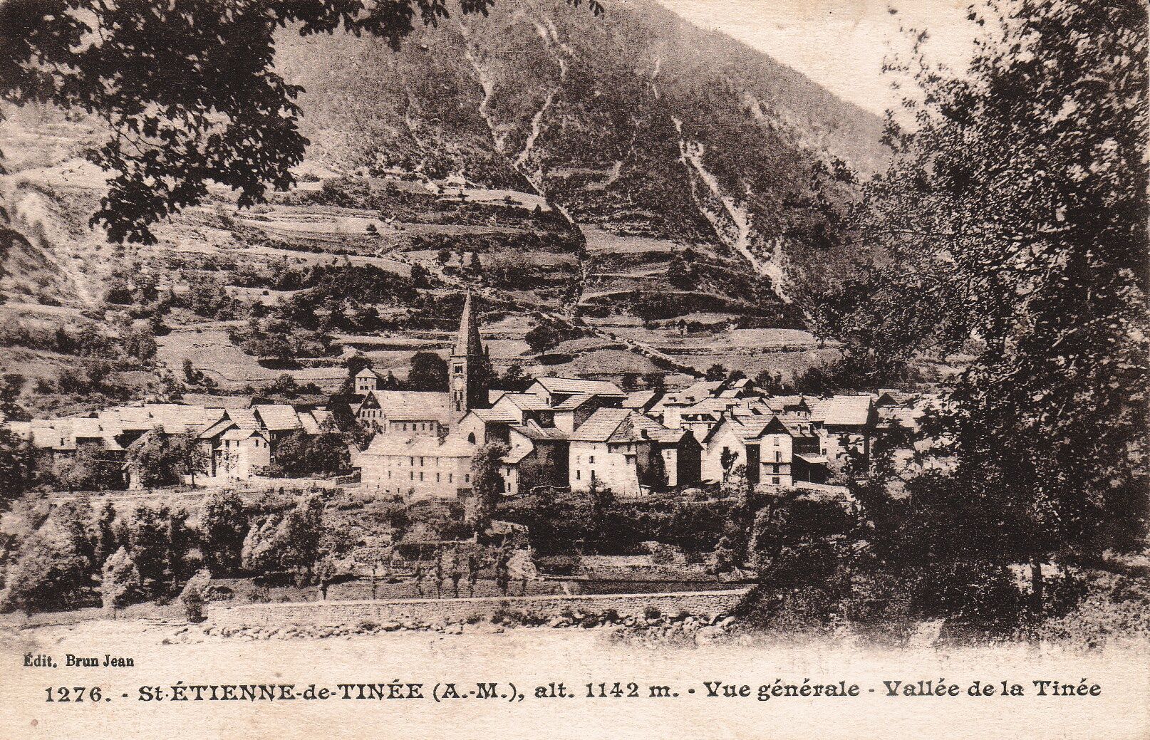
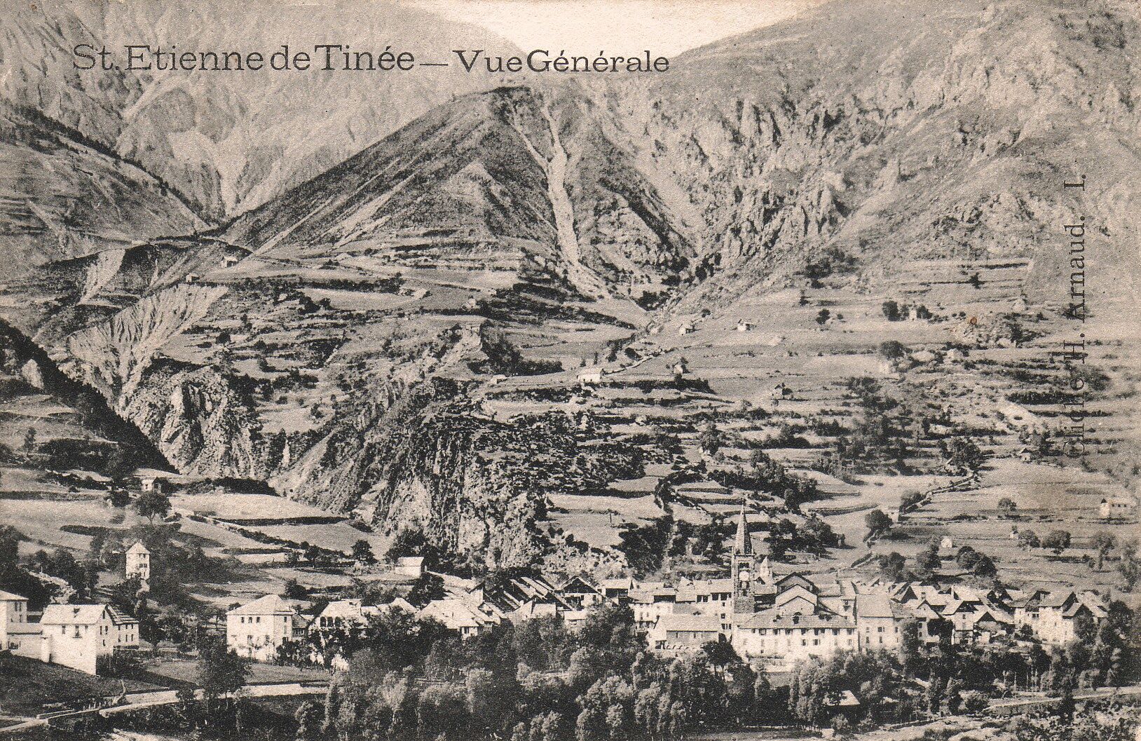

Possible departures from markers 77 or 80 (caution: winding and stony road):
Park at the Mercantour Park house parking lot or at the Pinatelle cable car parking lot From marker 77 (path located on the right, at the very beginning of the Demandols road - road on the left just after Jean Franco school) reach a junction with marker 78 Take the left path leading to markers 80 and 81 At marker 81, leave the GR5 to turn right first onto the track, then onto a path bordered by small stone walls Reach marker 70, then return to 81 by taking the GR5 again and start the return on the outward routeÁno
- Walking shoes are recommended
- Bring a backpack containing water, a cap, a picnic or some provisions, a waterproof and warm garment
- A pocket or headlamp to avoid being caught by nightfall
- First aid kit
- Check the local weather before leaving
- Do not overestimate your abilities
- Inform a close contact of your intended walk and departure time
- Follow marked paths and respect the direction of the routes
- Paths are shared: mountain bikers, horse riders, and hunters may use your route
- Behave ecologically: take your rubbish with you, be quiet so as not to scare wildlife and do not pick wild flowers or plants, a photo is a sufficient souvenir
- Respect private property, cultivated areas, and natural spaces and close gates after passing
- In summer, days are hot and vegetation is very sensitive to fire risk; do not light fires, you endanger your safety and that of others
- For your safety, wear appropriate clothing (hiking shoes, cap, minimum 2 L of water per person, etc.)
For more information about the destination: Tourist offices of Saint-Etienne-de-Tinée
Departure planned on Demandols road.
Departing from Nice:
Take bus 91 (destination: Auron) - Duration: 2 hours 5 minutes
The Lignes d’Azur network offers a single fare across the entire Métropole Nice Côte d'Azur. Validation is mandatory each time you board the bus regardless of the ticket used. To consult all fares and routes, click here: www.lignesdazur.com
Parking is available:
- Pinatelle parking (located near the Pinatelle cable car - from Boulevard d’Auron, turn left onto Chemin de l’Ardon after the cable car) in Saint-Etienne-de-Tinée). To reach the parking: From Nice (airport), follow the Var valley via RM 6202 to Plan-du-Var, then the Tinée valley to Saint-Etienne de Tinée (RM 2205). Location on Google Map
- At the Mercantour Tinée Park House. To reach this parking: From Nice (airport), follow the Var valley via RM 6202 to Plan-du-Var, then the Tinée valley to Saint-Etienne de Tinée (RM 2205). Location on Google Map
As the hike is difficult and crosses rugged habitats, increased caution is recommended.
Remarkable heritage elements of the village:
13th-century bell tower with a restoration inscription "1492" at its base 18th-century parish church 15th-century Saint Sebastian chapel Saint Mary Magdalene fountainThe village’s little special feature:
A rare religious heritage as well as a breathtaking landscape Mercantour Tinée Park HouseWebové kamery z prehliadky

Obľúbené výlety v okolí
-
4,5
Col de Larche - Lac du Lauzanier, France
svetloTuristika 13,7 km -
5,0
eBike MNCA stage 2: St-Dalmas-Le-Selvage - St-Etienne-de-Tinée
strednáMountainbike 43,2 km -
4,0
Goldtoni - Alpenbogen A078 Bousiéyas-Roya
strednádiaľková pešia trasa 31,3 km -
FFC cycling circuit no. 33: the Tinée cycle path
svetloCestný bicykel 29,4 km -
5,0
Goldtoni - Alpenbogen A108 Strepeis-Sambuco
strednádiaľková pešia trasa 16,1 km -
Mountain Bike FFC circuit no. 37: Col d'Anelle
ťažkéMountainbike 11,2 km -
VTT FFC circuit no. 57: the Demandols cow barn / Bercha
strednáMountainbike 22,5 km -
Snowshoe trekking La cabane de la Braisse
ťažkéSnežnice 10,9 km -
MTB FFC circuit no. 38: Col de la Moutière / Bonette summit
ťažkéMountainbike 37,2 km -
eBike MNCA stage 1: Auron - Saint-Dalmas-le-Selvage
strednáMountainbike 29,8 km
Turistika a stopovanie


Nenechajte si ujsť ponuky a inšpiráciu na ďalšiu dovolenku
Vaša e-mailová adresa bol pridaný do poštového zoznamu.





