


Mountain bike FFC circuit no. 5: Le Gabre
All outdoor activities of the Nice Côte d'Azur Metropolis are on https://outdoor.nicecotedazur.org

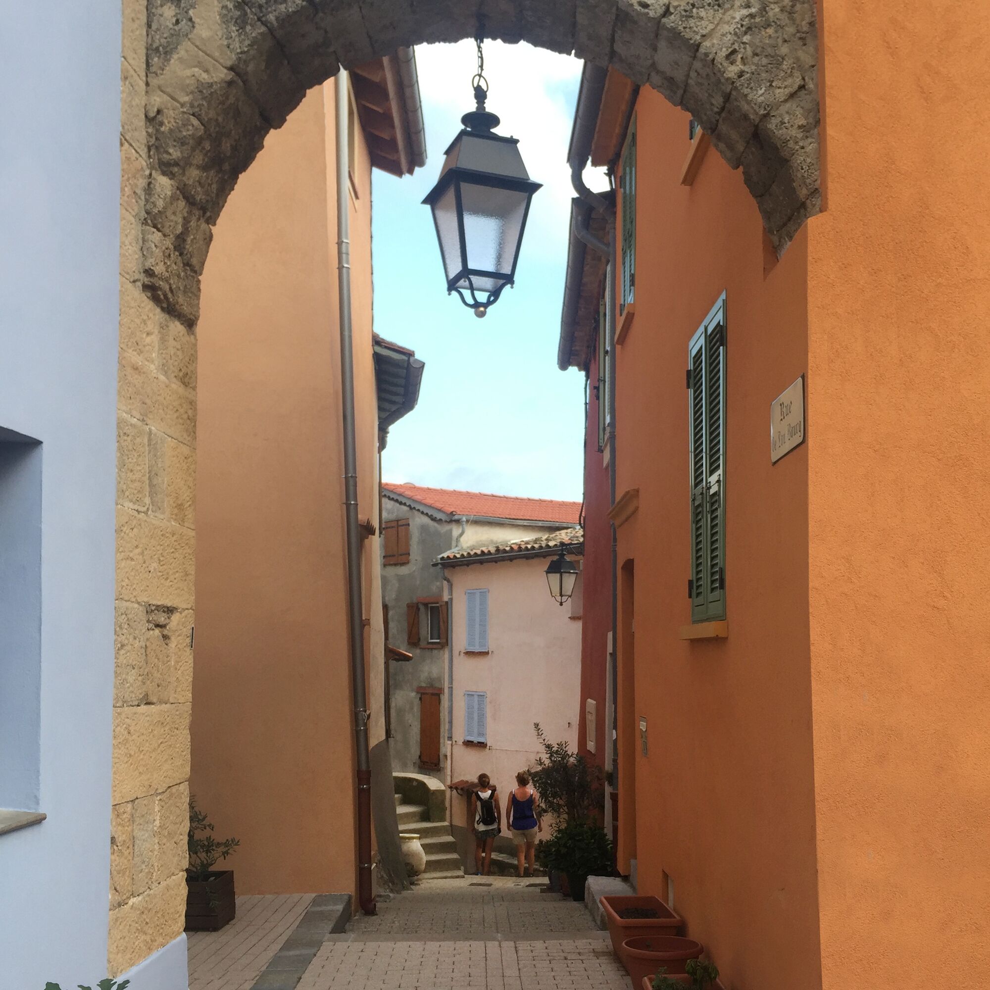
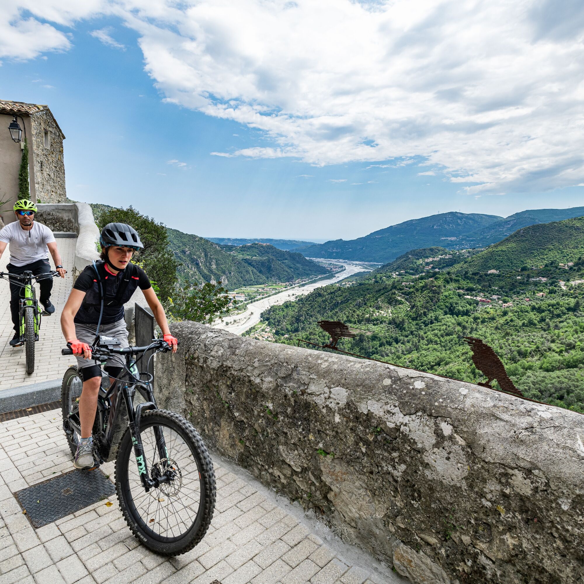
The route starts from the village parking lot near the sports field. Upon exiting the parking lot, head towards the village center and cross it: the path descends due south along a technical trail through an olive grove towards the Var. You can observe the bubbling water coming out of the EDF pipelines. Then, climb back up via a technical trail towards the hamlet "les Salles." The return is by a small track that joins the village.
Wear a helmet, bring protective equipment and repair accessories.
Watch the weather: Weather in the mountains changes quickly, bring warm clothing.
Follow the marked trails, do not take shortcuts and respect the direction of the routes.
Before setting out on a route, check that it matches your level, check the condition of your mountain bike and leave your itinerary with someone.
Be careful, courteous and slow down when overtaking other users.
Be extra careful during hunting season and inquire about any ongoing hunts.
If you encounter livestock guardian dogs (= patous), get off your bike, avoid sudden movements and go around the herd.
Respect private properties, cultivated areas and close gates after passing.
Adopt eco-friendly behavior: take your rubbish with you and respect the wildlife and flora for preserved nature.
Always make sure to carry the IGN map corresponding to the route concerned.
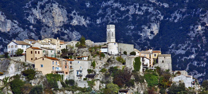
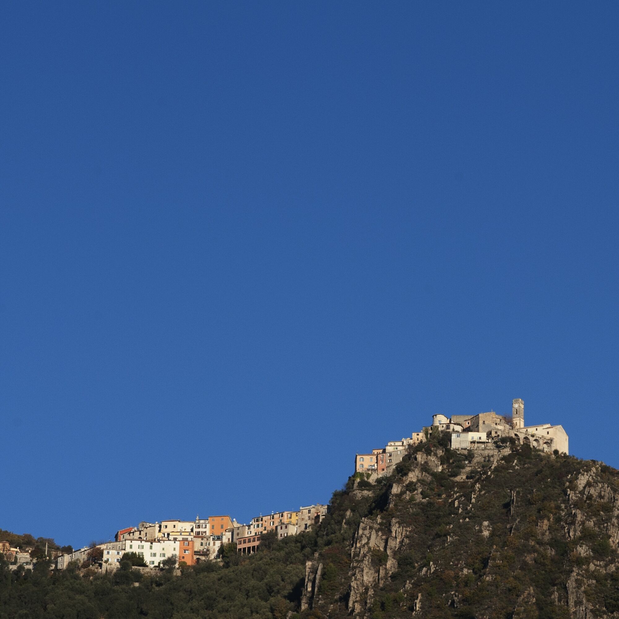
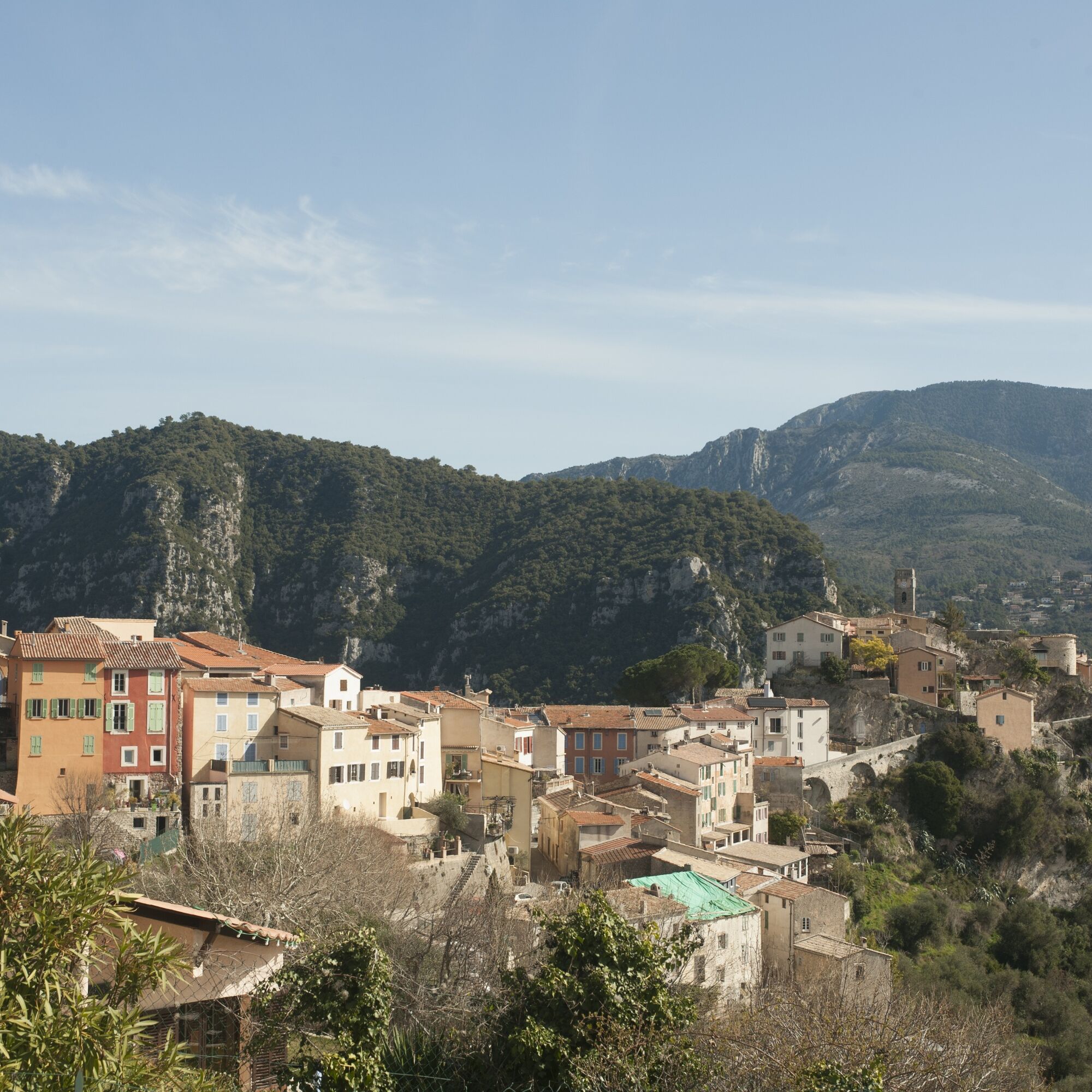
Bonson, a commune in the Alpes Maritimes department, is located in the heart of the Nice hinterland, 20 km as the crow flies from Nice and the Mediterranean coast and 35 minutes by car from Nice Côte d’Azur international airport.
Train: https://trainprovence.com/accueil-2/
Bus: The Lignes d’azur network offers a single fare across the entire Nice Côte d’Azur Metropolis. Validation is mandatory every time you board the bus regardless of the ticket used. To check all fares, click here: www.lignesdazur.com
Parking next to the sports field
Follow the mountain bike signage corresponding to the circuit number: The route is marked with orange "VTT FFC" arrows on which the circuit numbers to follow are displayed.
Obľúbené výlety v okolí
-
Nice - Aspremont / Pagarine Route (stage 1)
strednáTuristika 15,8 km -
FFC bike circuit no. 5: on the Tour De France routes (big loop)
strednáCestný bicykel 74,2 km -
FFC bike circuit no. 8: the 70.3 circuit (Half IRONMAN)
strednáCestný bicykel 92,8 km -
4,0
Little hike in Aspremont: Mont Chauve circuit
svetloTuristika 6,49 km -
The "Route des Paysages" between the coast and the middle country of Nice
svetloMotorrad 147,7 km -
FFC MTB route no. 25: The summit of Broc
strednáMountainbike 18,9 km -
A short walk in Saint-Jeannet : Les Baous de la Gaude and St-Jeannet
strednáTuristika 12,2 km -
VTT FFC circuit no. 7 - The Olive Trees Loop
svetloMountainbike 8,09 km -
FFC mountain bike circuit no. 1: The Mont Chauve route
strednáMountainbike 11 km -
Route n°1 - 2 days - Stage 2 Isola Village - Nice
ťažkéCestný bicykel 139,4 km

Turistika a stopovanie


Nenechajte si ujsť ponuky a inšpiráciu na ďalšiu dovolenku
Vaša e-mailová adresa bol pridaný do poštového zoznamu.