







Little hike in Aspremont: Mont Chauve circuit

Observation and interest points:
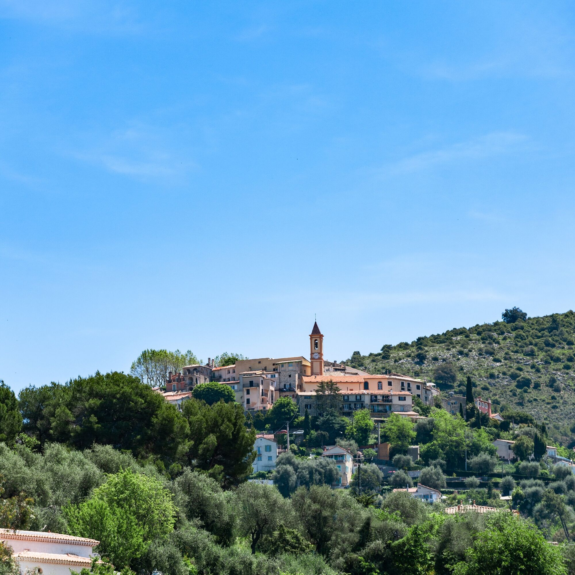
1. Aspremont, perched and sunny village
Viewpoint on the village, short history of the Ligurians to present day, toponymy (harsh and arid) and motto (aspersed liber). A...
Observation and interest points:
1. Aspremont, perched and sunny village
Viewpoint on the village, short history of the Ligurians to present day, toponymy (harsh and arid) and motto (aspersed liber). A look back at the time when Aspremont was a border village of the Pays niçois…
2. Landscape reading on the Var and Estéron valleys
Landscape reading from the baous to Mont Vial. The foothills of the Prealps of Grasse, the digging of the Var valley, the narrowings of the Estéron valley, the high peaks of the Alpes-de-Haute-Provence (Mont Saint-Honorat, Rocher du Carton, Grand Coyer…), Mont Vial guardian with its large antennas…
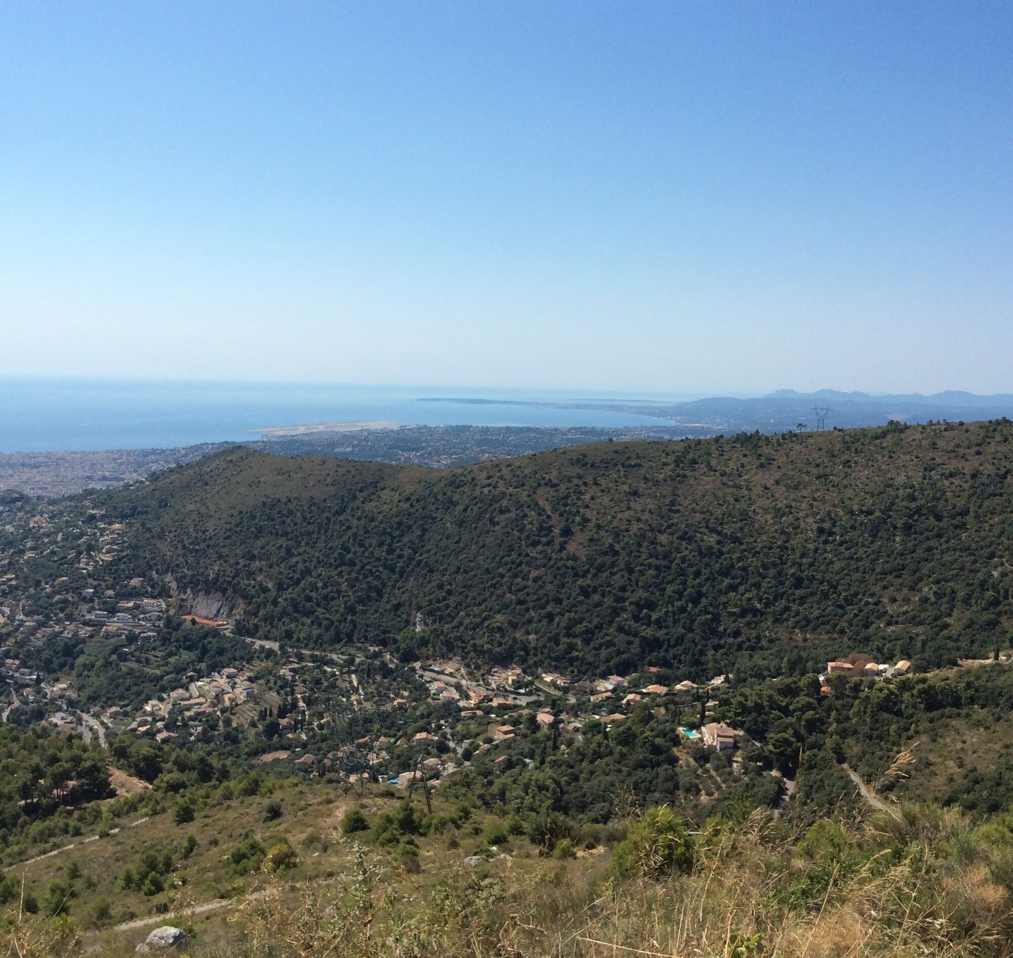
3. Landscape reading on the Côte d’Azur and the Baie des Anges
Landscape reading of the Var hills (the department) to Cap-Ferrat passing by the Estérel (volcanism), the Lérins Islands and why not, Corsica…
4. A fort overlooking Nice
The construction of the fort by the Ministry of Defense after attachment to France and its states of service. Its integration into the "Séré de Rivières" system aimed at protecting the borders of the country and which was the precursor to the Maginot Line fortifications. The importance of Mont Chauve in today’s life: relay, civil aviation…
All outdoor activities of the Nice Côte d'Azur Metropolis are on https://outdoor.nicecotedazur.org


If you come by bus, join the parking lot of La Vigne.
From the parking lot, take the road to Nice (M14), then take the stairs down on the right the "chemin de la Vallières" towards Mont Chauve (marker). Cross the road to Nice then continue along the Campoun path still in the direction of Mont Chauve (marker) and take right the GR®5 towards Gairault (marker). Rise above the village and continue along the balcony above the Var valley for 1.5 km. On the left, take the direction of Mont Chauve (marker). There is a DFCI track leading to the access road to the fort. Continue on the road until a barrier where you take left the trail leading back to the village via the baisse de Guigo.- Walking shoes are recommended
- Plan a backpack containing water, a cap, a picnic or some provisions, a waterproof and warm garment
- A flashlight or headlamp to avoid being caught by nightfall
- First aid kit
- Check the local weather before leaving
- Do not overestimate your abilities
- Inform someone close about your walking goal and your departure time
- Use the paths marked in yellow and respect the direction of the routes
- The trails are shared: mountain bikers, horse riders and hunters may use your route
- Have an eco-citizen behavior: take your trash back, be discreet so as not to scare wild animals and do not pick flowers or wild plants, a photo is a sufficient memory,
- Respect private properties, farming areas and natural spaces and close the gates after your passage.
- In summer days are hot, vegetation is very sensitive to fire risk, do not light fires, you endanger your safety and that of others
Located less than 20 km from the center of Nice (20 to 30 minutes), follow the Metropolitan roads M914 then M14 towards Aspremont.
Bus lines no. 62 or 76, stop "Aspremont village"
The Lignes d’azur network offers a single fare across the entire Nice Côte d’Azur Metropolis. Validation is mandatory each time you board the bus regardless of the ticket used. To view all fares and routes, click here: www.lignesdazur.com
Large free parking "parking de la vigne" at the entrance to the village (35 route de Colomars Aspremont)
To go further on our destination, visit the tourist office website
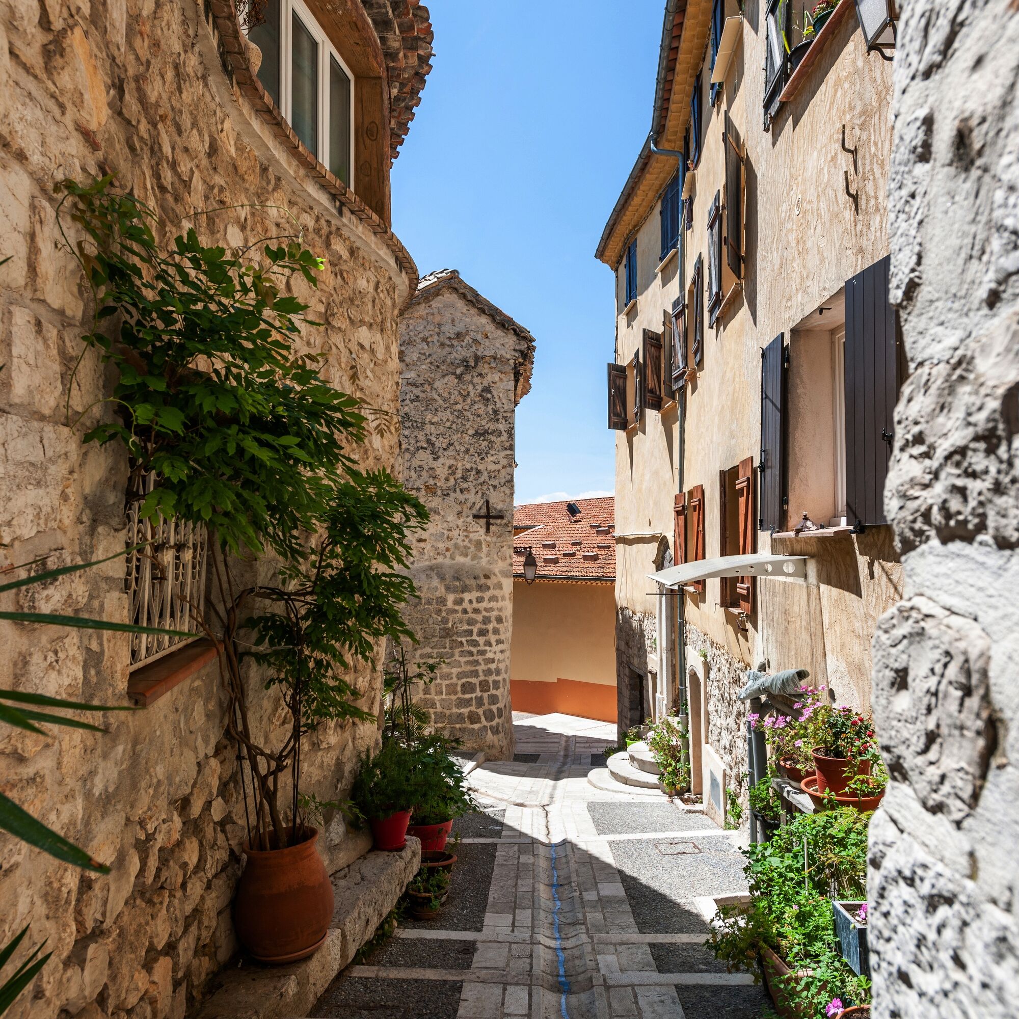
The remarkable heritage elements of the village:
The little village tip:


Obľúbené výlety v okolí
-
4,8
Tour du Cap-Ferrat
strednáTuristika 8,99 km -
4,0
Chemin de Nietzsche
svetloTuristika 3,73 km -
5,0
Little hike at Eze: Fort de la Revère Circuit
svetloTuristika 6,02 km -
Little hike in Nice: the Mont Boron route
svetloTuristika 5,13 km -
Grande Randonnée® de Pays: Lou Camin Nissart
ťažkédiaľková pešia trasa 44,7 km -
Nice - Aspremont / Pagarine Route (stage 1)
strednáTuristika 15,8 km -
FFC bike circuit no. 8: the 70.3 circuit (Half IRONMAN)
strednáCestný bicykel 92,8 km -
FFC bike circuit no. 5: on the Tour De France routes (big loop)
strednáCestný bicykel 74,2 km -
5,0
Goldtoni - Alpenbogen A082 Drap-Nizza
svetlodiaľková pešia trasa 26,4 km -
FFC cycle route no. 1: Tour of Cap Ferrat
svetloCestný bicykel 20,4 km

Turistika a stopovanie


Nenechajte si ujsť ponuky a inšpiráciu na ďalšiu dovolenku
Vaša e-mailová adresa bol pridaný do poštového zoznamu.





