







Grande Randonnée® de Pays: Lou Camin Nissart

Úroveň náročnosti: T1
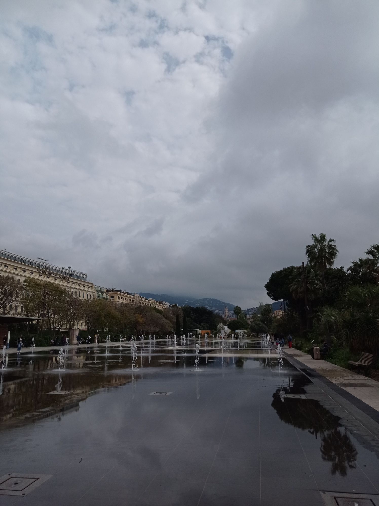
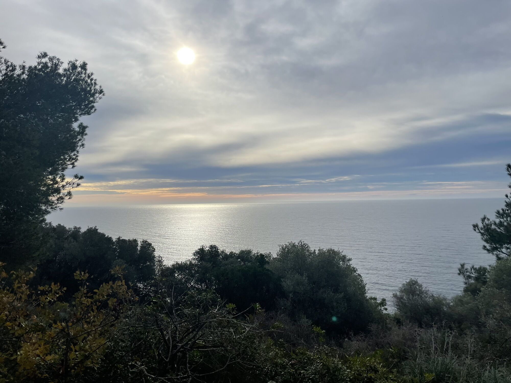
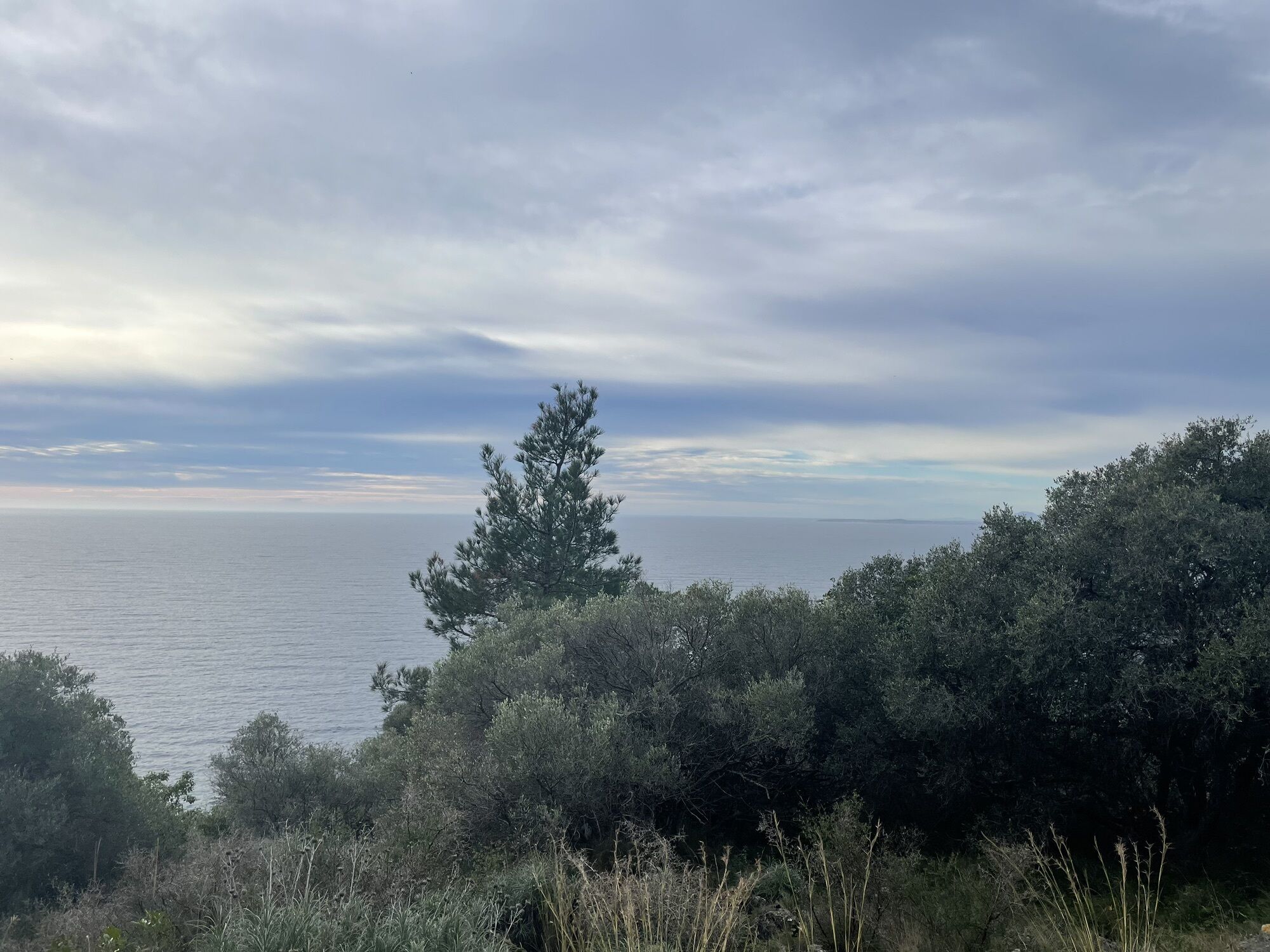
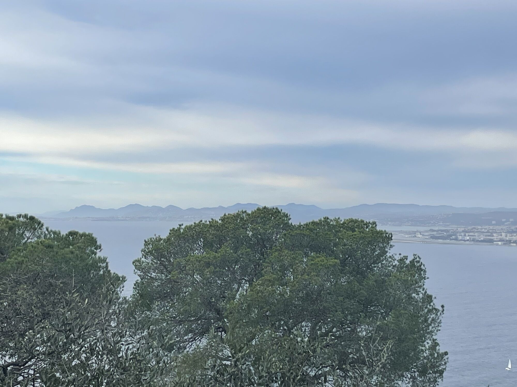
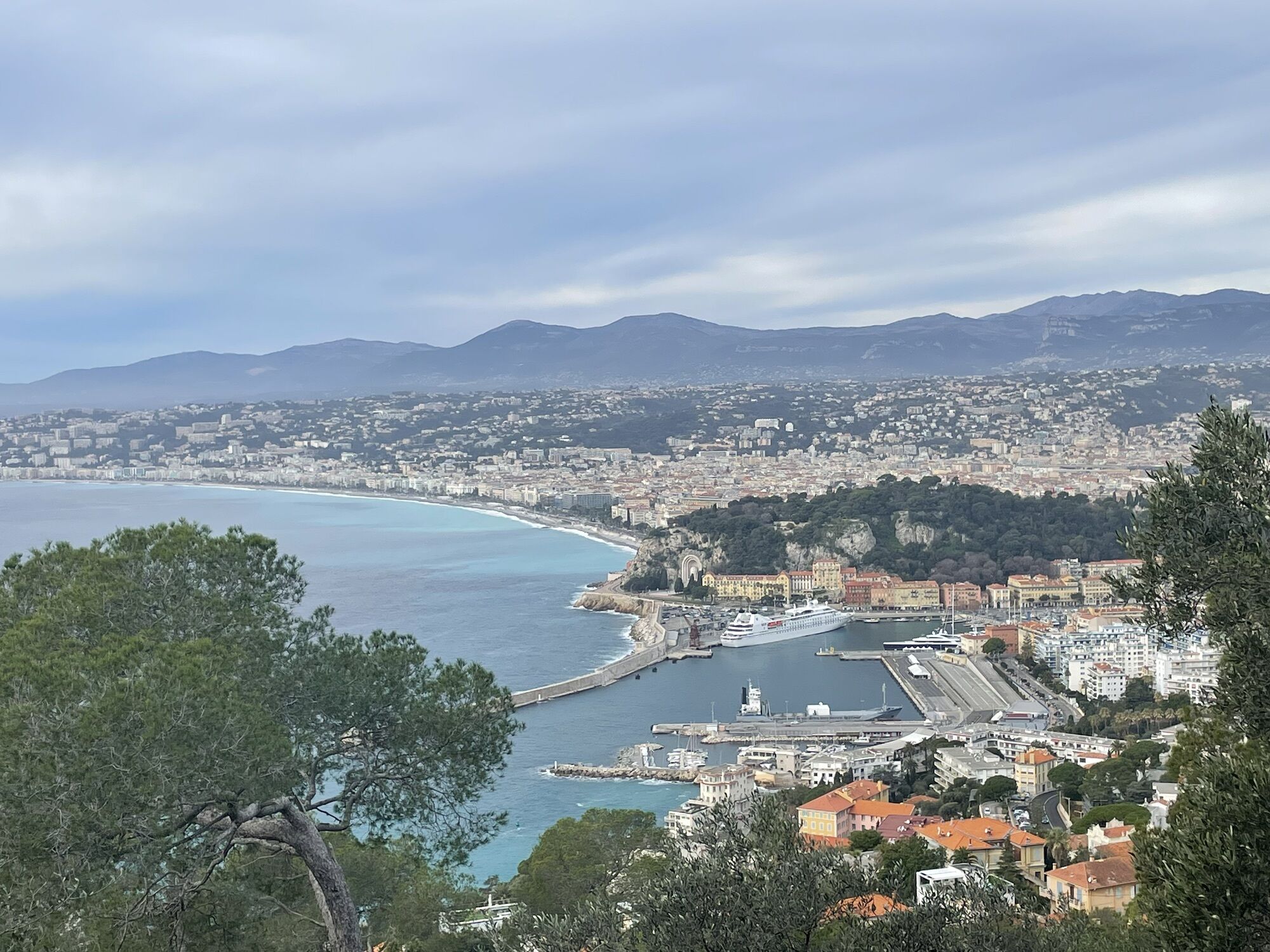
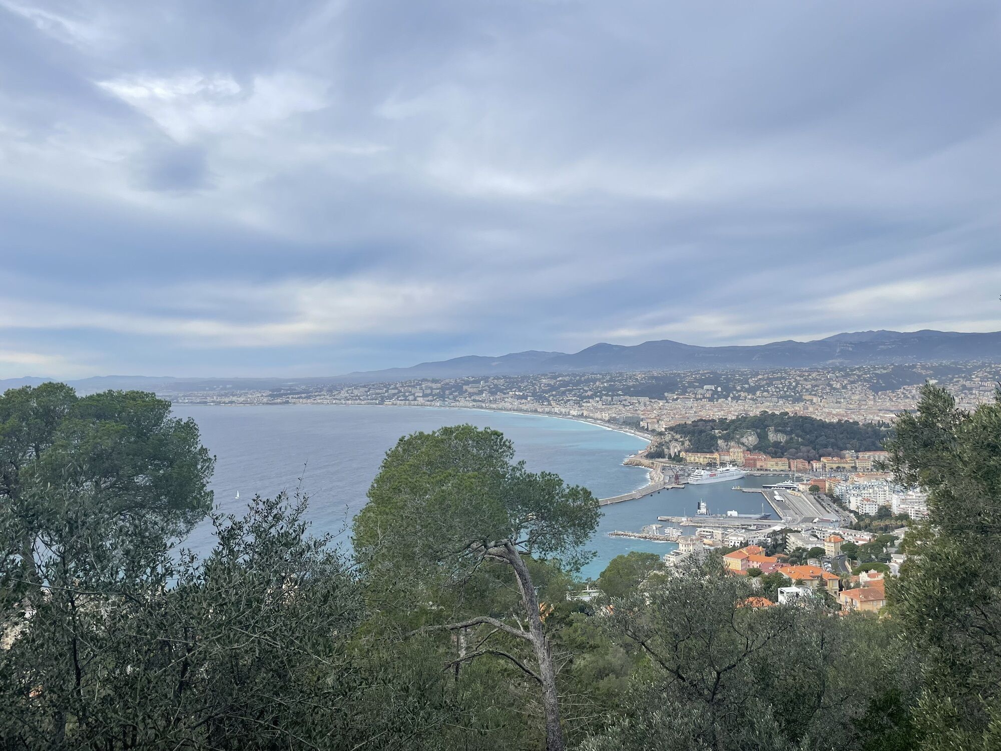
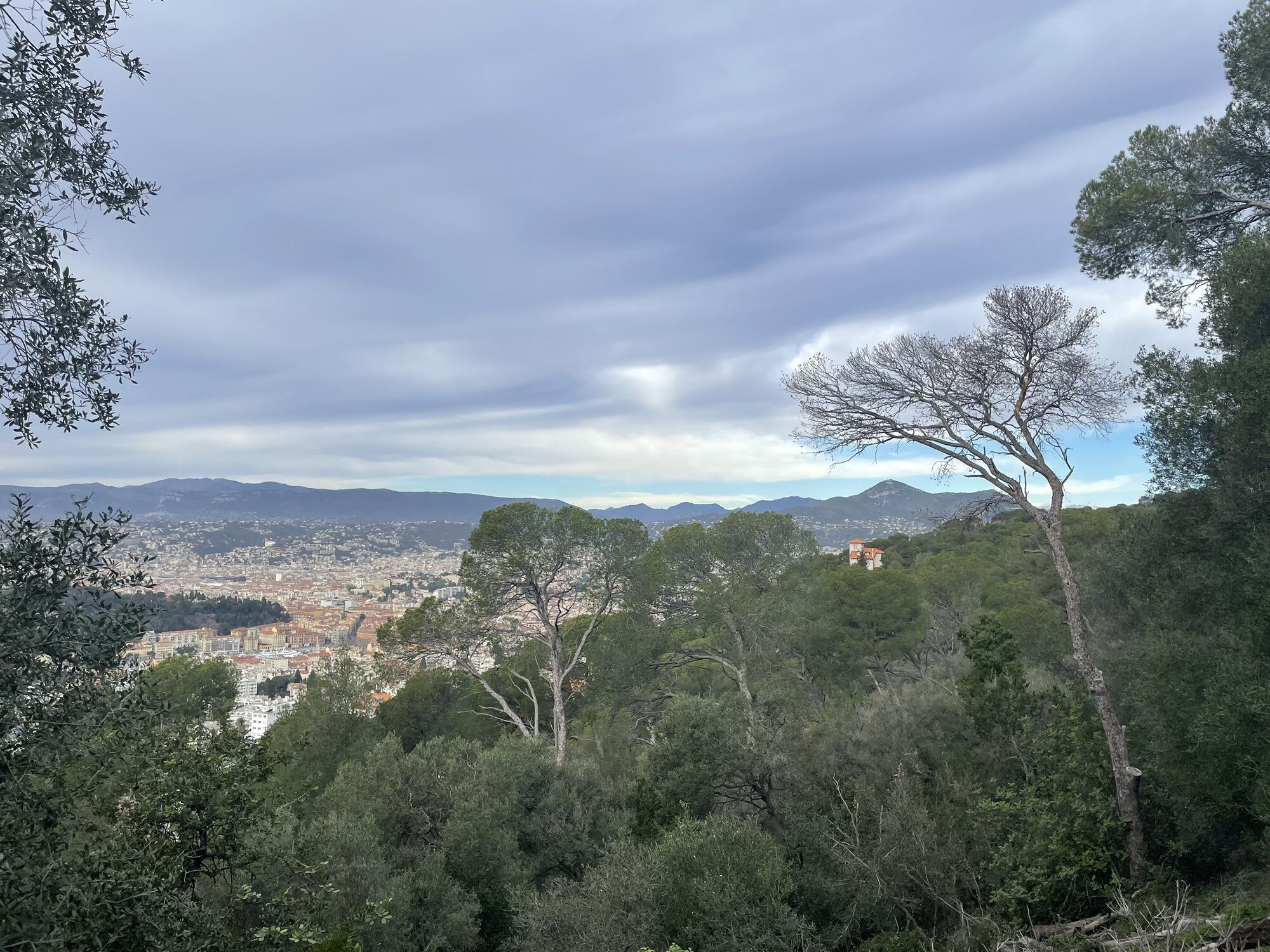
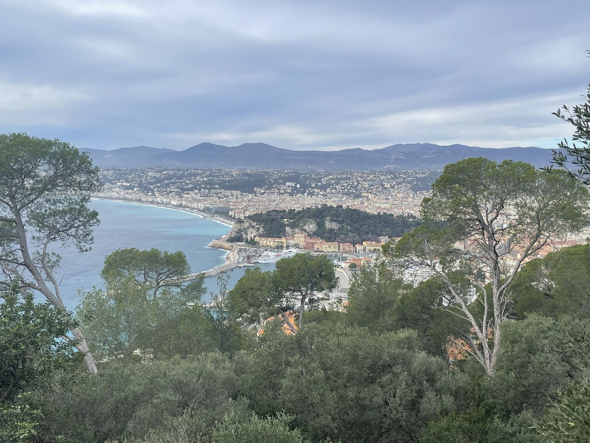
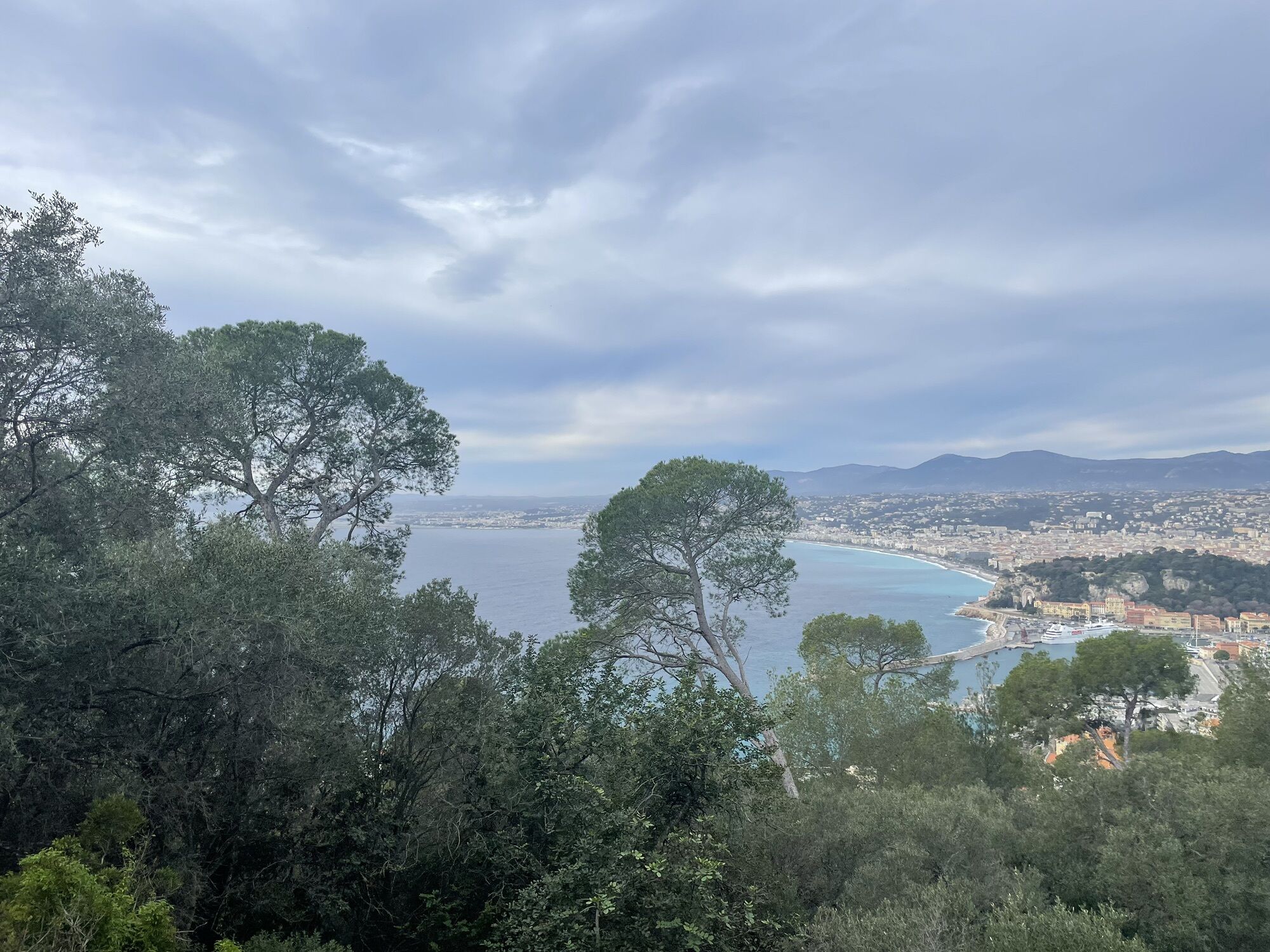
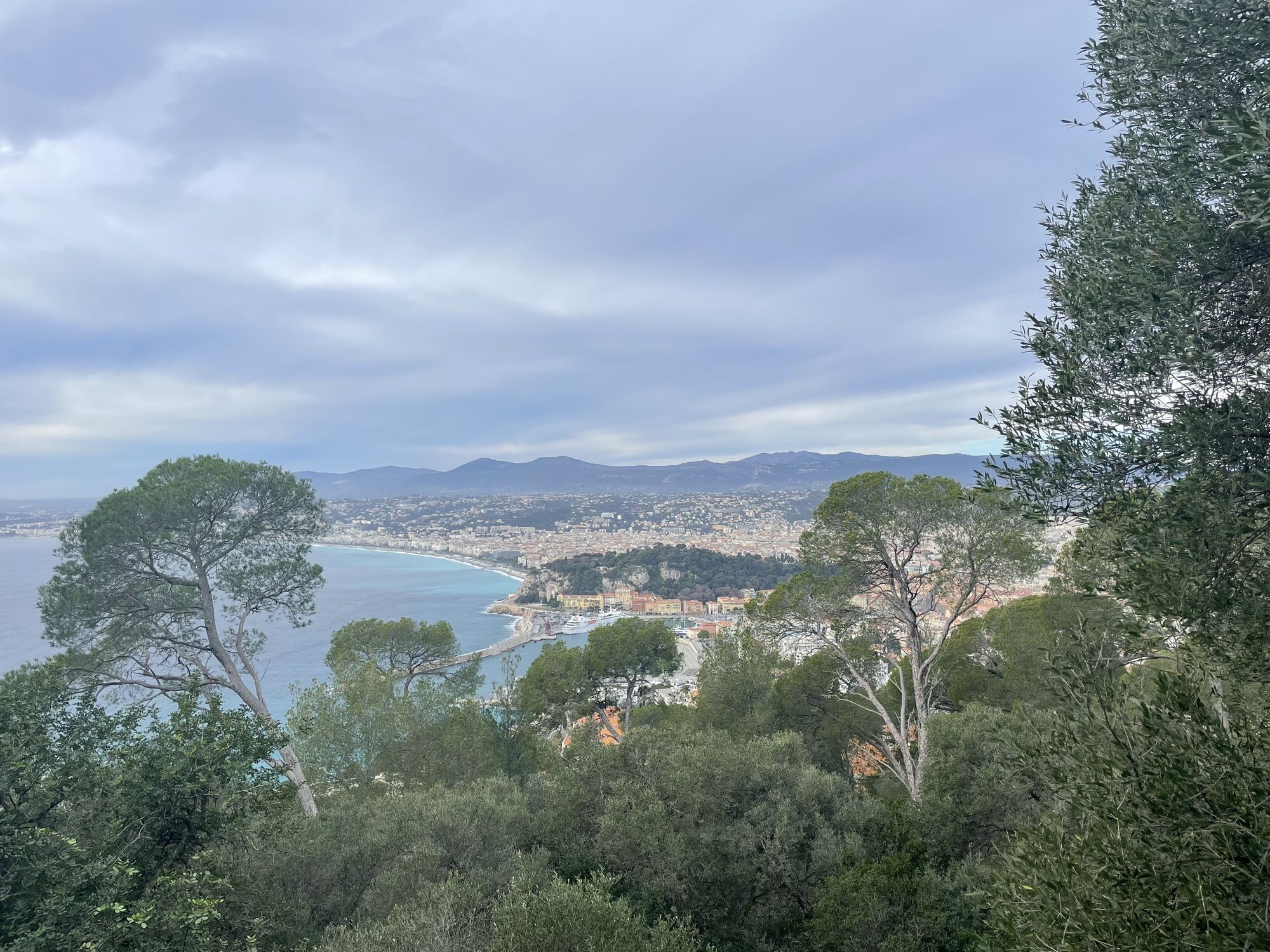
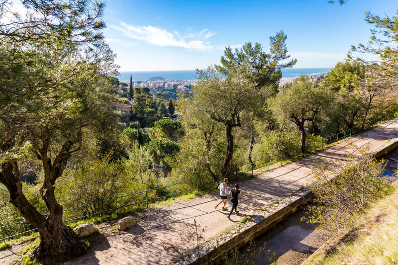
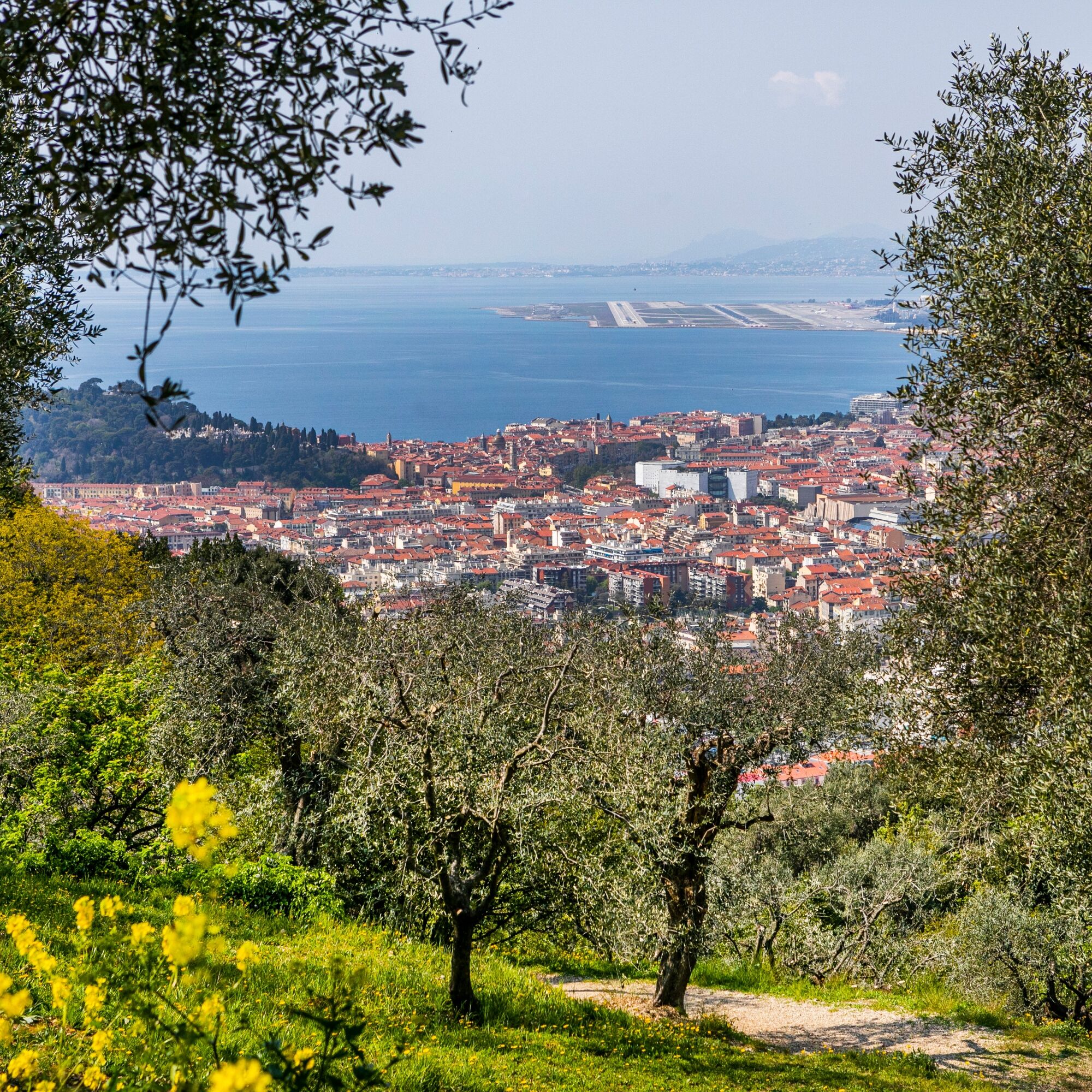
A walk among carob trees, pines, olive trees, mastic trees, vines, oaks... which starts at Place Garibaldi, winds or goes straight between Mont Boron, Gairaut, Saint-Pancrace, Saint-Roman-de-Bellet, and...
A walk among carob trees, pines, olive trees, mastic trees, vines, oaks... which starts at Place Garibaldi, winds or goes straight between Mont Boron, Gairaut, Saint-Pancrace, Saint-Roman-de-Bellet, and joins the starting point via the Promenade des Anglais.

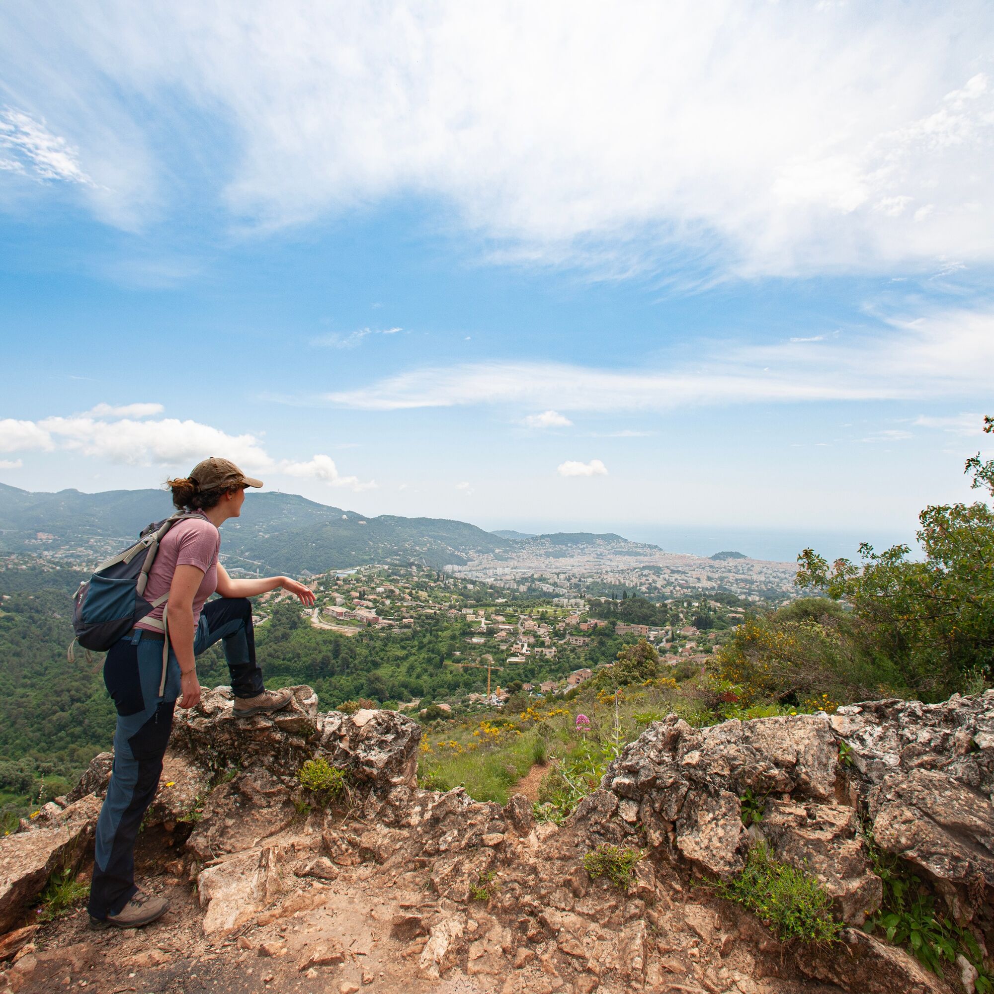
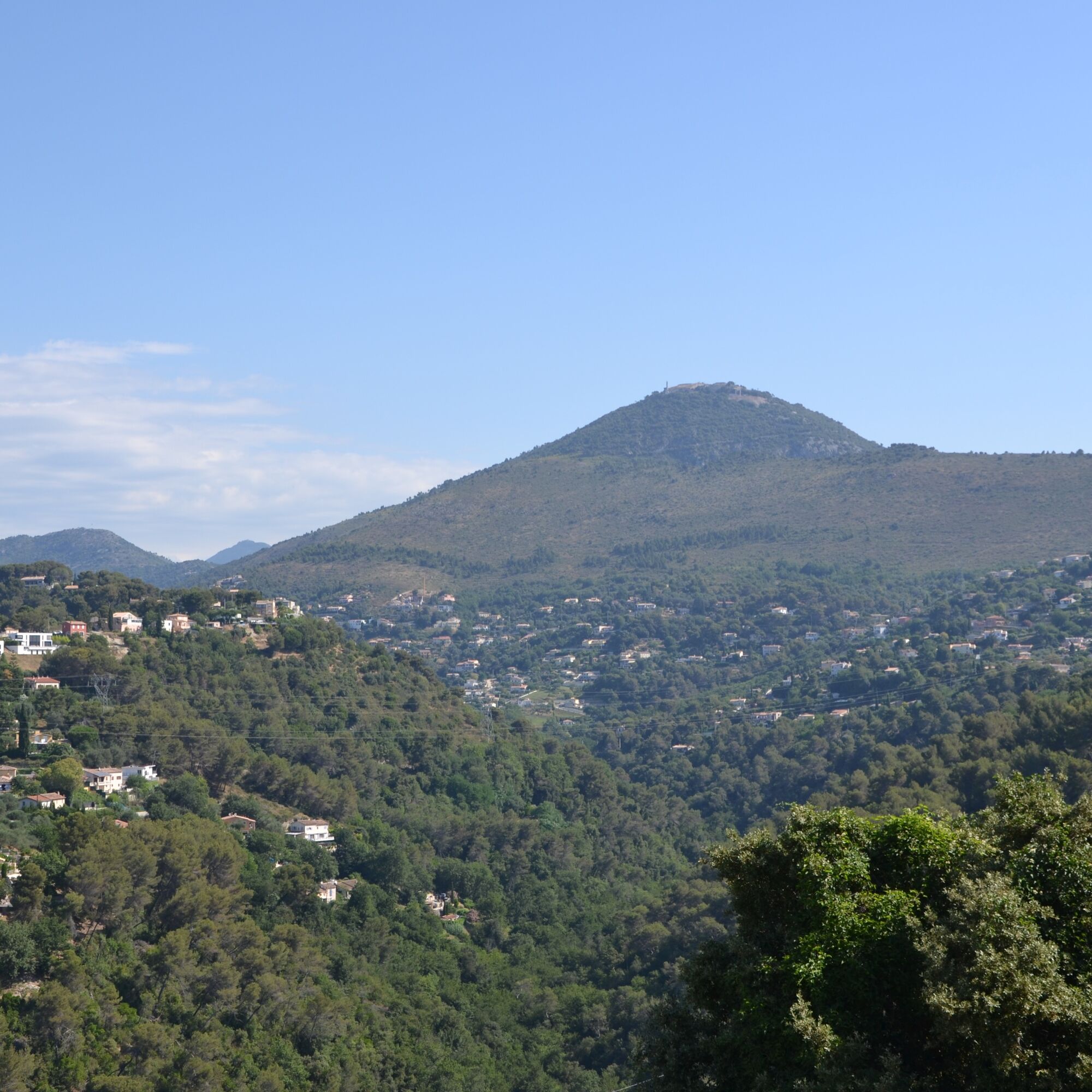

Place Garibaldi to Place du Mont Boron
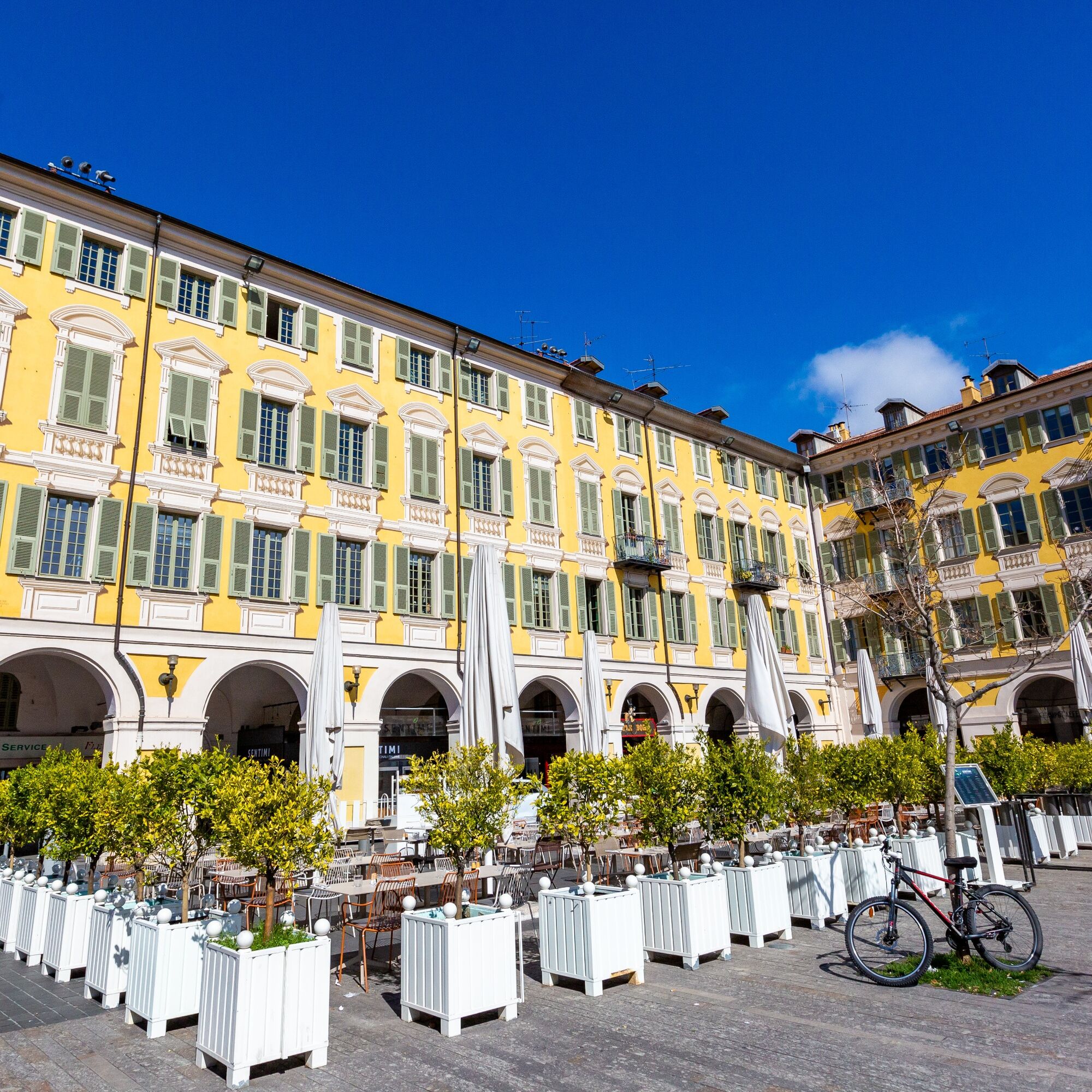
1. Start at the Giuseppe Garibaldi statue, head towards the port by taking «rue Séguranne», then «rue Antoine Gautier».
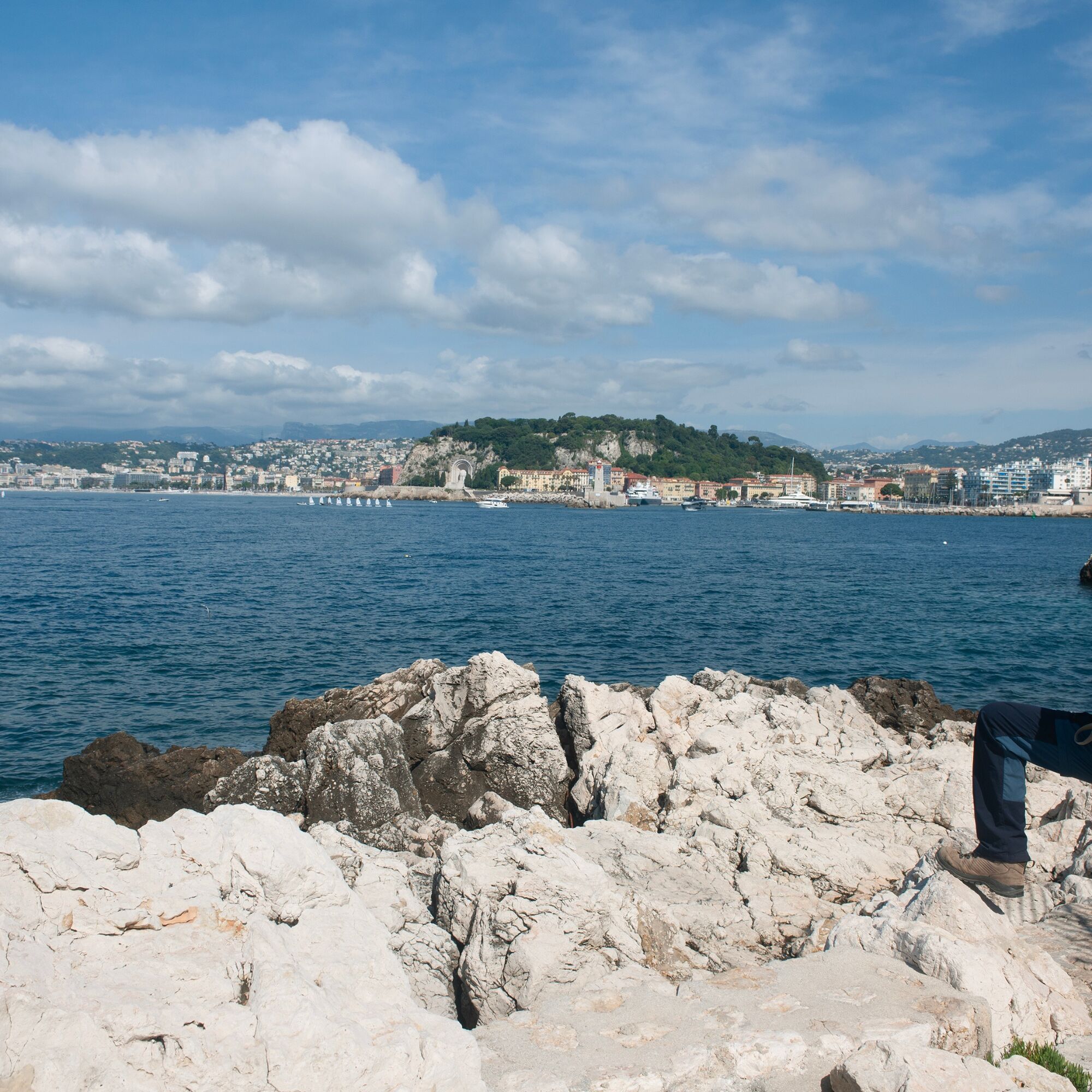
Follow the port on the left along «quai des Deux-Emmanuels», continue to Galerie Lympia (Old Prison), turn left and climb the stairs, then take right on «boulevard Franck Pilatte». Continue to Felix Rainaux garden, descend to the coastal path, follow it to Cap de Nice. Leave the coast, then climb the set of stairs to «boulevard Maeterlinck», reach «boulevard du Mont Boron», then «l’impasse Ernestine» to reach Route Forestière du Mont Boron.
2. Arrive at Route Forestière du Mont Boron, turn right, heading south. Continue for 150 m.
Mont Boron circuit
3. Leave the road, turn right, then immediately left onto the path that goes around the fort clockwise (views on the city of Nice and the port). After the fort circuit, return to Place du Mont Boron via Route Forestière for 150 m.
Place du Mont Boron to Parc du Vinaigrier
2. Continue following the markings parallel to the forest road of Mont Boron, reach Mont Alban (views of Villefranche-sur-Mer and Nice). Pass left of the fort to reach Col de Villefranche. Cross the road, go behind the gas station, follow «chemin du Vinaigrier», «le chemin Alexandra», and the Veolia station towards Parc du Vinaigrier (Fountain: managed forest park, tables, benches).
To the viewpoint
4. Turn right and follow the yellow/red marking to reach the viewpoint and enjoy the panorama (Orientation table).
Return to the main route
5. Descend the same path and join the track at the park location sign, cross and descend following the markings via «chemin du Cal du Mont Gros».
Parc du Vinaigrier to Gairaut
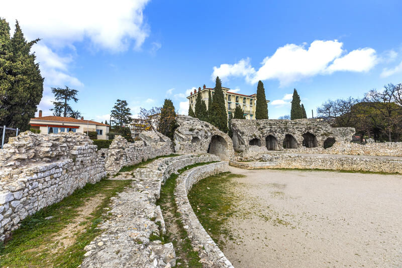
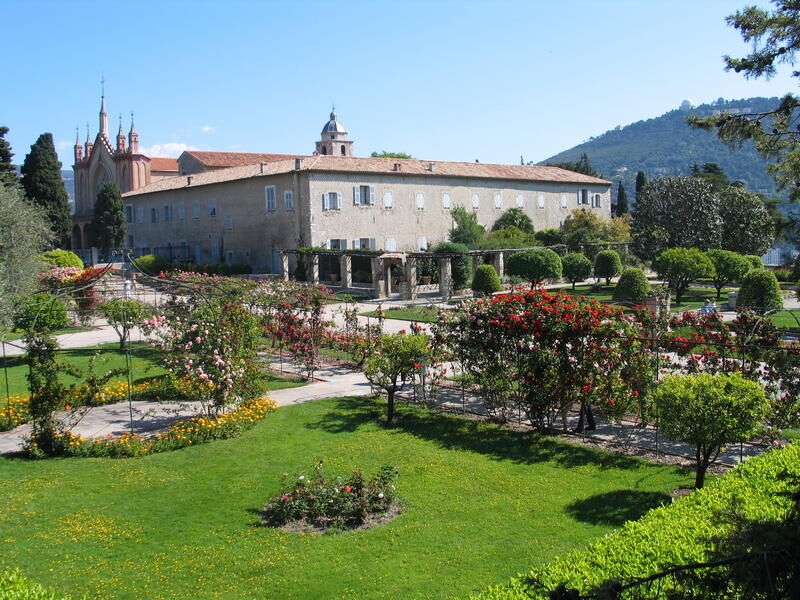
4. Reach «boulevard Bischhoffen», climb it to branch off onto «l’avenue du Teiras», descend the stairs and arrive at «chemin du mont Gros», follow the marking to reach «rue Pie François Toesca», turn right onto «boulevard Virgil Barrel». Continue to reach the Pont Michel tram station, cross René Coty bridge, continue on «voie Romaine» and take stairs leading to the Croix du Sud building, resume «voie Romaine» climbing 150 m then stairs to reach Monastery cemetery (WC - Fountain: in Cimiez gardens).
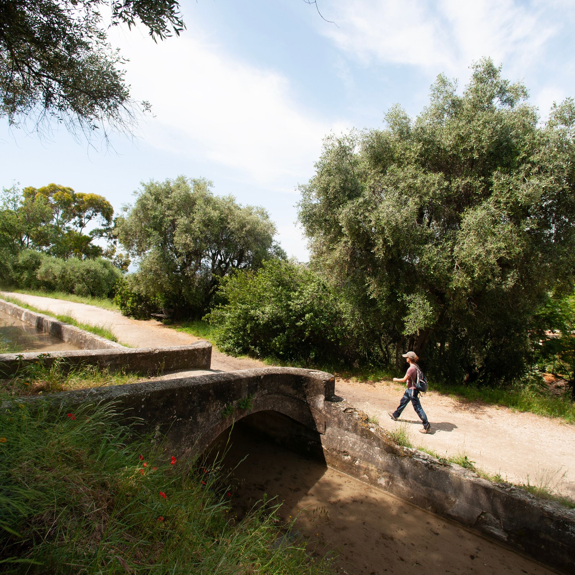
6. Go around the garden outside along "avenue du Monastère" to the junction to "avenue Michel de Cimiez". Cross Cimiez and Rimiez neighborhoods, follow markings through streets: «avenue Thérèse, avenue de Flirey, place Commandant Gérôme, avenue Cap de Croix, avenue «Sainte-Colette», resume «avenue Cap de Croix», then «avenue de Rimiez» to access canal de Gairaut. Then continue along canal de Gairaut.
Gairaut to La Valliére
7. Leave canal de Gairaut. The GR® de Pays joins GR®5, take north «old chemin de Gairaut» to Saint-Michel roundabout.
8. Cross roundabout and continue on «chemin de Chateaurenard» following GR®5, to La Valliére.
9. Turn right following GR®5 to the ruins of Château Renard.
Château Renard to Rayet
10. Leave GR®5 and take right trail to Grotte de Ratapignata. Trail rejoins GR®5 (viewpoint and pyramid).
Lower Rayet to Mont Chauve
11. Leave GR®5 again and take right trail to reach bottom of Mont Chauve.
Mont Chauve to Lower Rayet
12. Rejoin GR®5, turn left, descend south, to reach the place called côte 500.
Lower Rayet to La Valliére
11. Continue on GR®5 towards Nice to the south, to Château Renard.
10. Continue on GR®5 to reach La Valliére (b727).
La Valliére to Vallon de Magnan
9. Leave GR®5, continue right following yellow/red markings. Route crosses «route d’Aspremont» to reach staircase of «ancien chemin du Ray à Aspremont», follow it, continue by «chemin de l’Église» of Saint Pancrace, access Saint-Pancrace road, pass convenience store, continue descending by «chemin du Génie» to reach Vallon de Magnan.
Vallon de Magnan to Saint-Roman-de-Bellet
13. Leave road at containers, turn left on path and climb through pine forest.
Saint-Roman-de-Bellet to Canta-Galet via Vésubie canal
14. At end of «chemin Antoine Braquet», cross road and continue on dirt path, cross gate, follow Vésubie canal (Fontainiers de Bellet path) to Canta-Galet.
Canta-Galet to Magnan
15. Route opens on «Durandy roundabout», turn left on «route de Bellet», continue to Ventabrun.
16. Leave «chemin des Treuyes» on left and continue descent towards sea edge by «shortcuts of route de Bellet No. 5, 4, 3, 2 and 1». Resume «Route de Bellet» descending. Further on at No. 11 take stairs, leading via «Rue Ansaldi», then from Robiony park to Magnan bridge and Promenade des Anglais.
Magnan to Garibaldi (via Promenade des Anglais)
17. Turn left toward city center, follow «Promenade des Anglais» to downtown. Pass Albert 1er garden, turn left at Beau Rivage beach.
18. Cross «Quai des États-Unis» to continue on «avenue Max Gallo», then «avenue Jean-Jaurès», go along tram line (L1) and Old Nice. Then join starting point of GR® de Pays "Lou Camin Nissart" at Place Garibaldi.
- Walking shoes are recommended
- Bring a backpack containing water, a cap, a picnic or some provisions, waterproof and warm clothing
- A torch or headlamp in case of passage through a tunnel or to avoid being caught by nightfall
- First aid kit
- Check the local weather before setting off
- Do not overestimate your abilities
- Inform someone close to you about your walk's goal and your departure time
- Use the paths marked in yellow and respect the direction of the routes
- Paths are shared: mountain bikers, riders and hunters may use your route
- Have eco-friendly behavior: take your waste with you, be discreet to not frighten wild animals and do not pick wild flowers or plants, a photo is a sufficient souvenir
- Respect private property, cultivated lands and natural areas and close gates after passing.
- In summer days are hot, vegetation is very sensitive to fire risk, do not light fires, you endanger your safety and that of others
Nice is located in the heart of the Côte d’Azur, accessible by road, airport, boat and railway. The urban network, bus and tram, allows interconnection to different means of transport.
The route is interconnected with the bus and tram network of the city of Nice. In one day you can thus travel only the desired section and return to the city center.
You can park at: Parking Promenade des arts - 18 Avenue Saint- Jean- Baptiste, 06000 Nice
(N 43.70094 °, E 7.27817 °)
T1
All outdoor activities of the Métropole Nice Côte d'Azur are on https://outdoor.nicecotedazur.org/fr
Webové kamery z prehliadky

Obľúbené výlety v okolí
-
4,8
Tour du Cap-Ferrat
strednáTuristika 8,99 km -
4,0
Chemin de Nietzsche
svetloTuristika 3,73 km -
5,0
Little hike at Eze: Fort de la Revère Circuit
svetloTuristika 6,02 km -
Little hike in Nice: the Mont Boron route
svetloTuristika 5,13 km -
Nice - Aspremont / Pagarine Route (stage 1)
strednáTuristika 15,8 km -
4,0
Little hike in Aspremont: Mont Chauve circuit
svetloTuristika 6,49 km -
FFC bike circuit no. 5: on the Tour De France routes (big loop)
strednáCestný bicykel 74,2 km -
5,0
Goldtoni - Alpenbogen A082 Drap-Nizza
svetlodiaľková pešia trasa 26,4 km -
FFC cycle route no. 1: Tour of Cap Ferrat
svetloCestný bicykel 20,4 km -
A short walk in Saint-Jeannet : Les Baous de la Gaude and St-Jeannet
strednáTuristika 12,2 km

Turistika a stopovanie


Nenechajte si ujsť ponuky a inšpiráciu na ďalšiu dovolenku
Vaša e-mailová adresa bol pridaný do poštového zoznamu.





