


FFC cycle route no. 1: Tour of Cap Ferrat
Úroveň náročnosti: 2
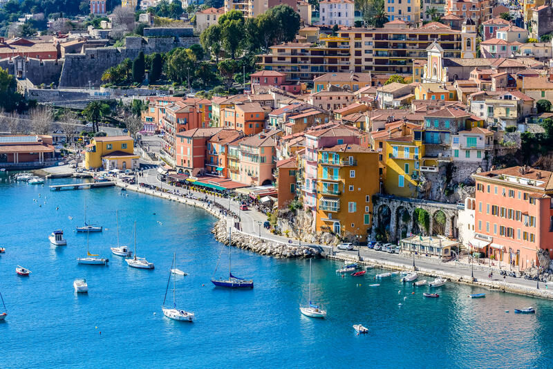
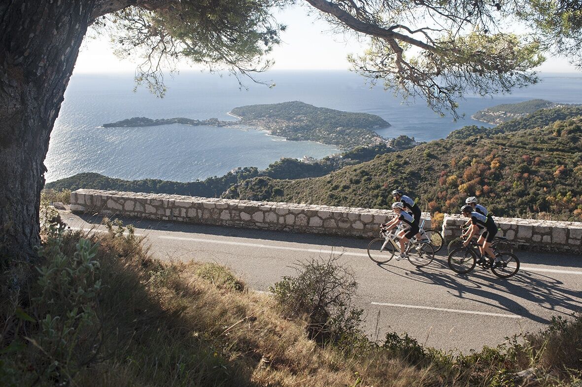
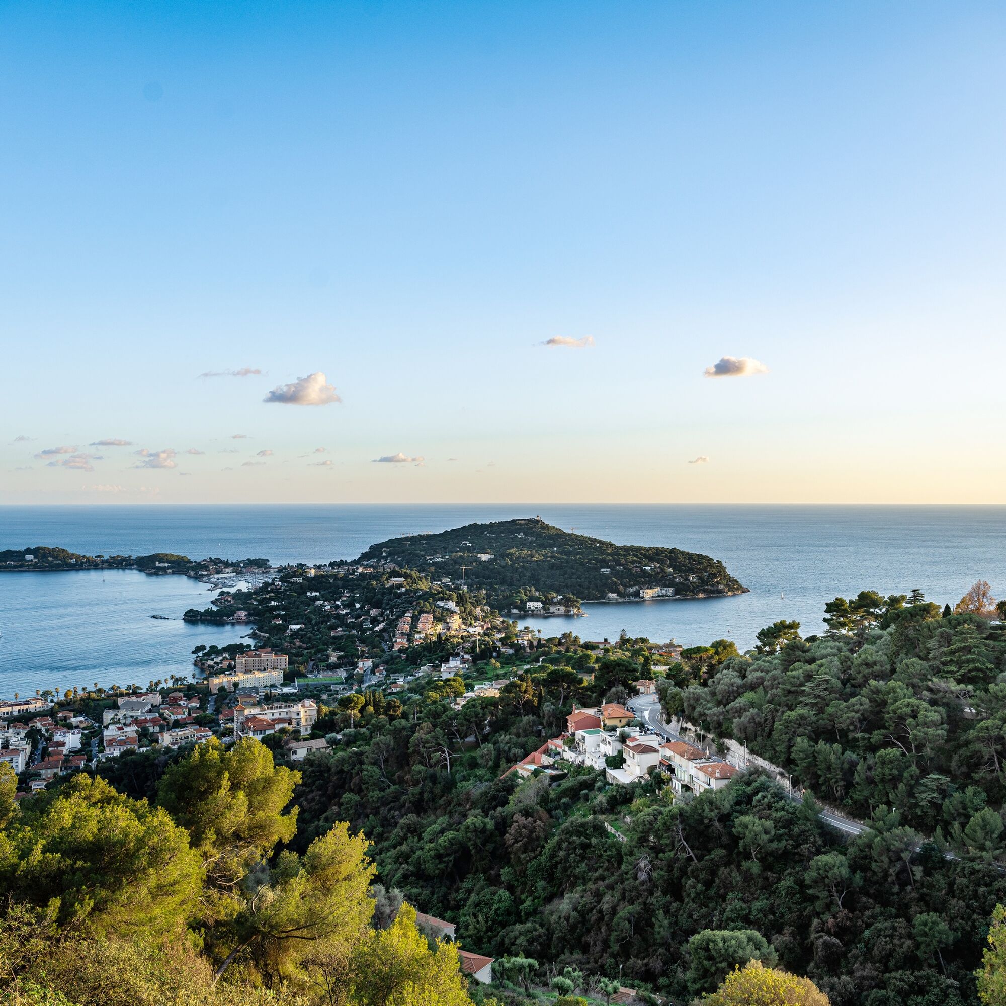
A short detour to the Lighthouse located at the southern tip of the peninsula signals the entrance to the harbor of Villefranche. Also worth seeing is the maritime center of Saint-Jean-Cap-Ferrat which...
A short detour to the Lighthouse located at the southern tip of the peninsula signals the entrance to the harbor of Villefranche. Also worth seeing is the maritime center of Saint-Jean-Cap-Ferrat which can offer an unforgettable stop.
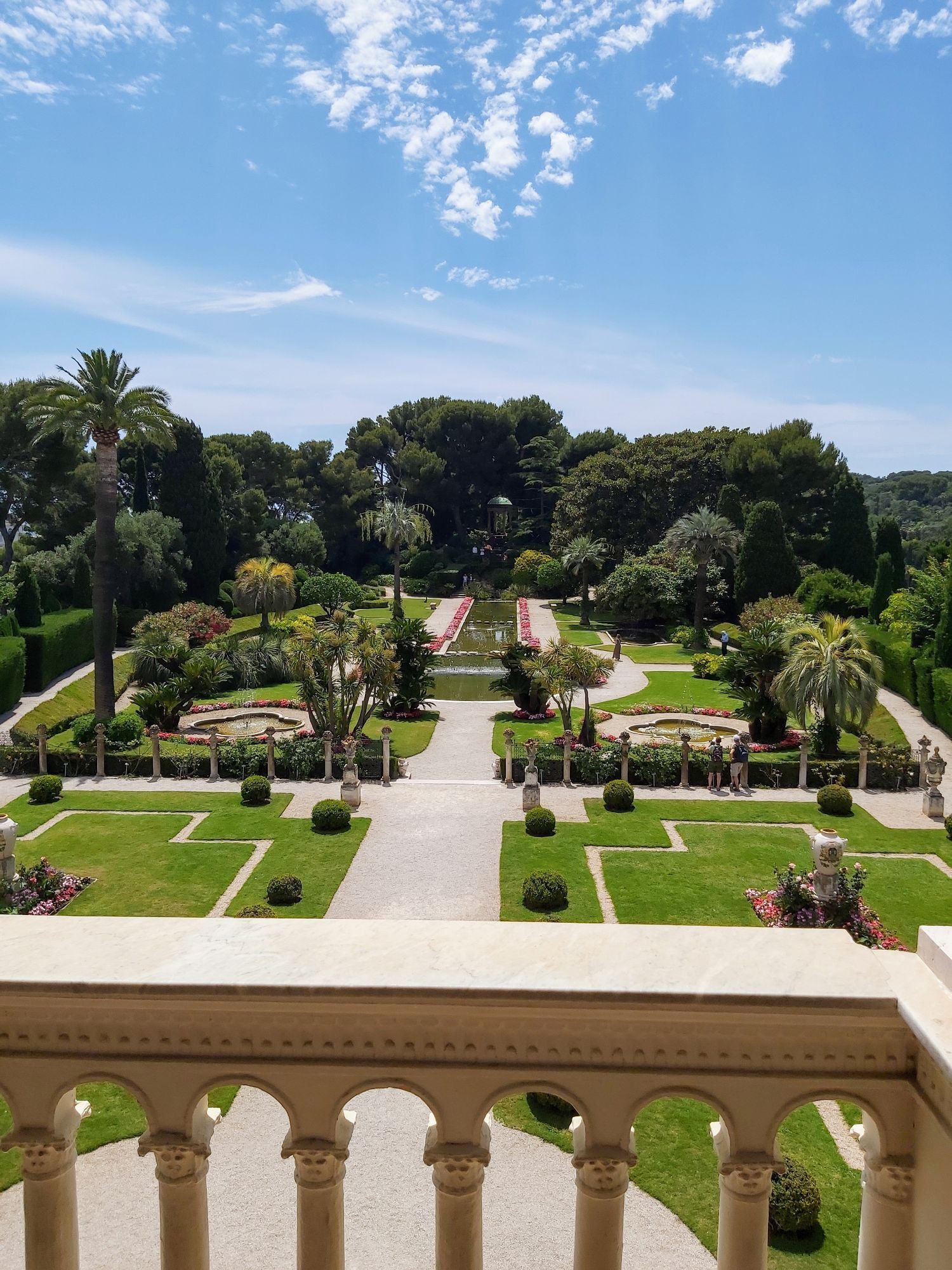
Also to discover on the way back, the villa Ephrussi de Rothschild is one of the most beautiful Renaissance-style palaces on the Côte d’Azur, built on a peninsula summit between 1905 and 1912 by Baroness Béatrice Ephrussi de Rothschild. The museum gives a particularly vivid idea of what the residence of a great art lover of the Belle Époque who had a special interest in the 18th century was like. The museum, open to the public daily, is one of the most visited sites between Nice and Menton.
All outdoor activities of the Nice Côte d'Azur Metropolis are available at https://outdoor.nicecotedazur.org
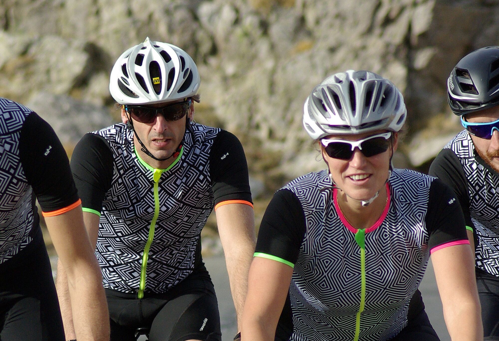
-Wear an approved helmet
-Check the condition of your tires
-Bring a repair kit in case of a flat tire
-Prefer at least a flashing LED light to attach to the seat post to be seen by motorists
Emergency number: 112
BASIC RULES
-Choose a route suited to your physical condition, do not overestimate your abilities
-Make sure to carry an ID and an emergency contact number
-Respect traffic lights
-Preferably use bike lanes when available, otherwise, a sign may require you:
If the "bike lane" sign is square: you decide.
If it is round, you must use this lane obligatorily.
-Respect the environment and other road users
GOOD PRACTICES FOR GROUP RIDING
-Riding two abreast is allowed, but single file is required:
- at dusk or in poor visibility
- when a vehicle wanting to overtake signals its approach
- In case of a breakdown, move to the low side of the road and not on the road - At 'Stop', yellow light, solid or flashing red light, stop completely for the entire group.
- Communicate within the group and use verbal and gestural language to signal obstacles or vehicles. A simple gesture or word can prevent a fall or accident.
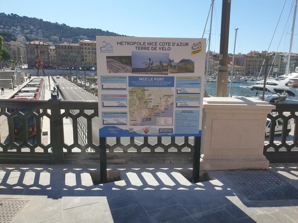
Head towards PORT DE NICE
Find bus routes at: https://www.lignesdazur.com
Paid underground parking at PORT LYMPIA 100 m from the starting point - Access via Quai de la Douane
Paid surface parking at PHARE DU PORT DE NICE 400 m from the starting point - Access via place Guynemer
2
Route intended for recreational use - FFC color: green -
Webové kamery z prehliadky
Obľúbené výlety v okolí
-
4,8
Tour du Cap-Ferrat
strednáTuristika 8,99 km -
4,0
Chemin de Nietzsche
svetloTuristika 3,73 km -
5,0
Little hike at Eze: Fort de la Revère Circuit
svetloTuristika 6,02 km -
Little hike in Nice: the Mont Boron route
svetloTuristika 5,13 km -
4,0
Little hike in Aspremont: Mont Chauve circuit
svetloTuristika 6,49 km -
Nice - Aspremont / Pagarine Route (stage 1)
strednáTuristika 15,8 km -
5,0
Goldtoni - Alpenbogen A082 Drap-Nizza
svetlodiaľková pešia trasa 26,4 km -
FFC bike circuit no. 5: on the Tour De France routes (big loop)
strednáCestný bicykel 74,2 km -
Grande Randonnée® de Pays: Lou Camin Nissart
ťažkédiaľková pešia trasa 44,7 km -
FFC bike circuit no. 8: the 70.3 circuit (Half IRONMAN)
strednáCestný bicykel 92,8 km

Turistika a stopovanie


Nenechajte si ujsť ponuky a inšpiráciu na ďalšiu dovolenku
Vaša e-mailová adresa bol pridaný do poštového zoznamu.