


FFC cycling circuit No. 32: The loop of the 2 valleys from St. Sauveur/Tinée
Úroveň náročnosti: 5
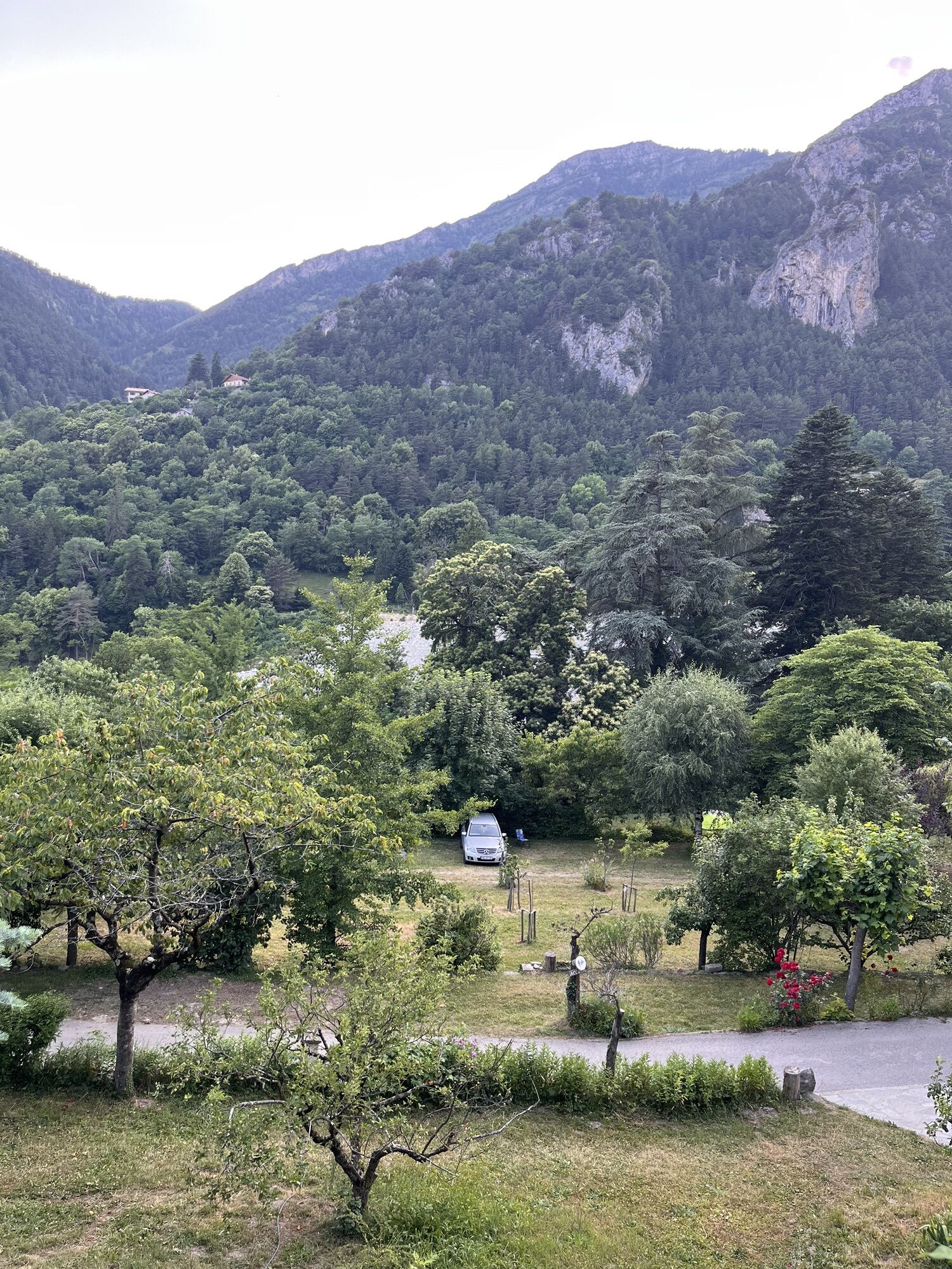
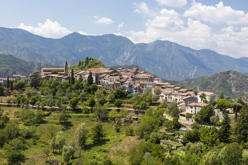
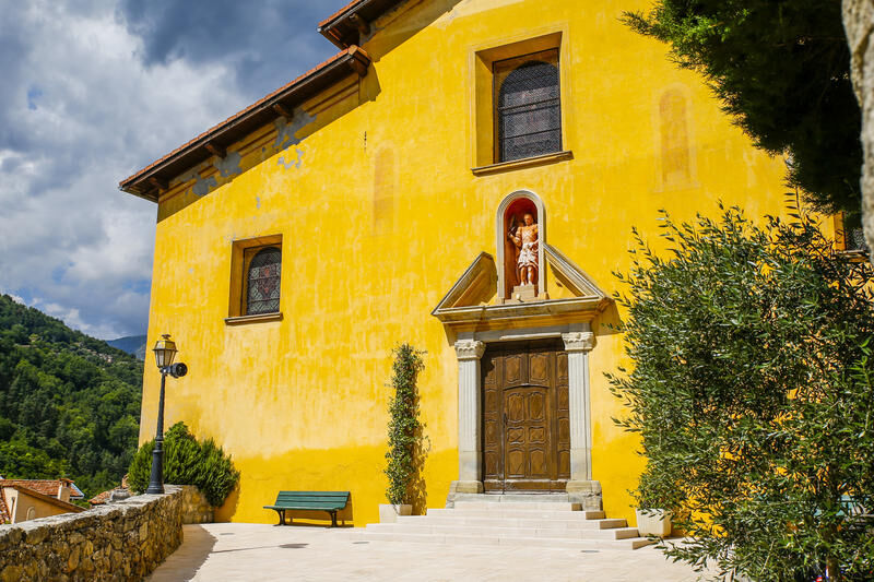
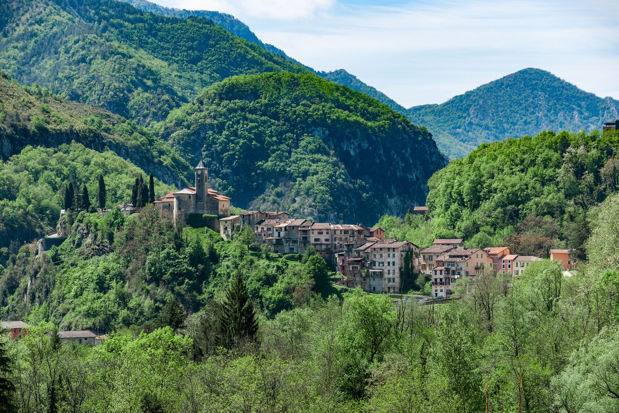
The village of La Tour sur Tinée, the first climb of the day, is worth the detour. Entering the alleys of the village and discovering the square and its fountain is a pleasure to share.
Then joining...
The village of La Tour sur Tinée, the first climb of the day, is worth the detour. Entering the alleys of the village and discovering the square and its fountain is a pleasure to share.
Then joining the Sanctuary of the Madone d’Utelle is a reward but the interest of this climb is to push a little further on the road to reach the orientation table and discover an exceptional panorama from the Mediterranean Sea to the peaks of Mercantour.
On the descent, the village of Utelle is also to discover. This will also be an opportunity to refill water bottles at the fountain of the village square, called Place de la République.

Áno
-Wear a certified helmet
-Check the condition of your tires
-Take a repair kit in case of a puncture
-Prefer at least one flashing LED light to fix on the seat post to be seen by motorists, especially in small tunnels
BASIC RULES
-Choose a route adapted to your physical condition, do not overestimate your abilities
-Check the mountain weather and pass openings before leaving
-Remember to carry an ID and a number to call in case of danger
-Respect traffic lights
-Prefer to use cycle paths when they exist, in other words: a sign may require you to use them
If the "cycle path" sign is square: you decide. If it is round, you must use this way compulsory.-Respect the environment and other road users
GOOD PRACTICES FOR GROUP RIDING
-Riding two abreast is allowed, but single file is required:
at nightfall or when visibility is poor when a vehicle wanting to overtake signals its approach.-In case of breakdown, move to the lower side of the road and not on the road itself
-At “Stop”, yellow light, fixed or flashing red light, make a complete stop for the whole group.
-Communicate within the group and use verbal language and gestures to signal an obstacle or a vehicle. A simple gesture or a word can prevent a fall or accident.
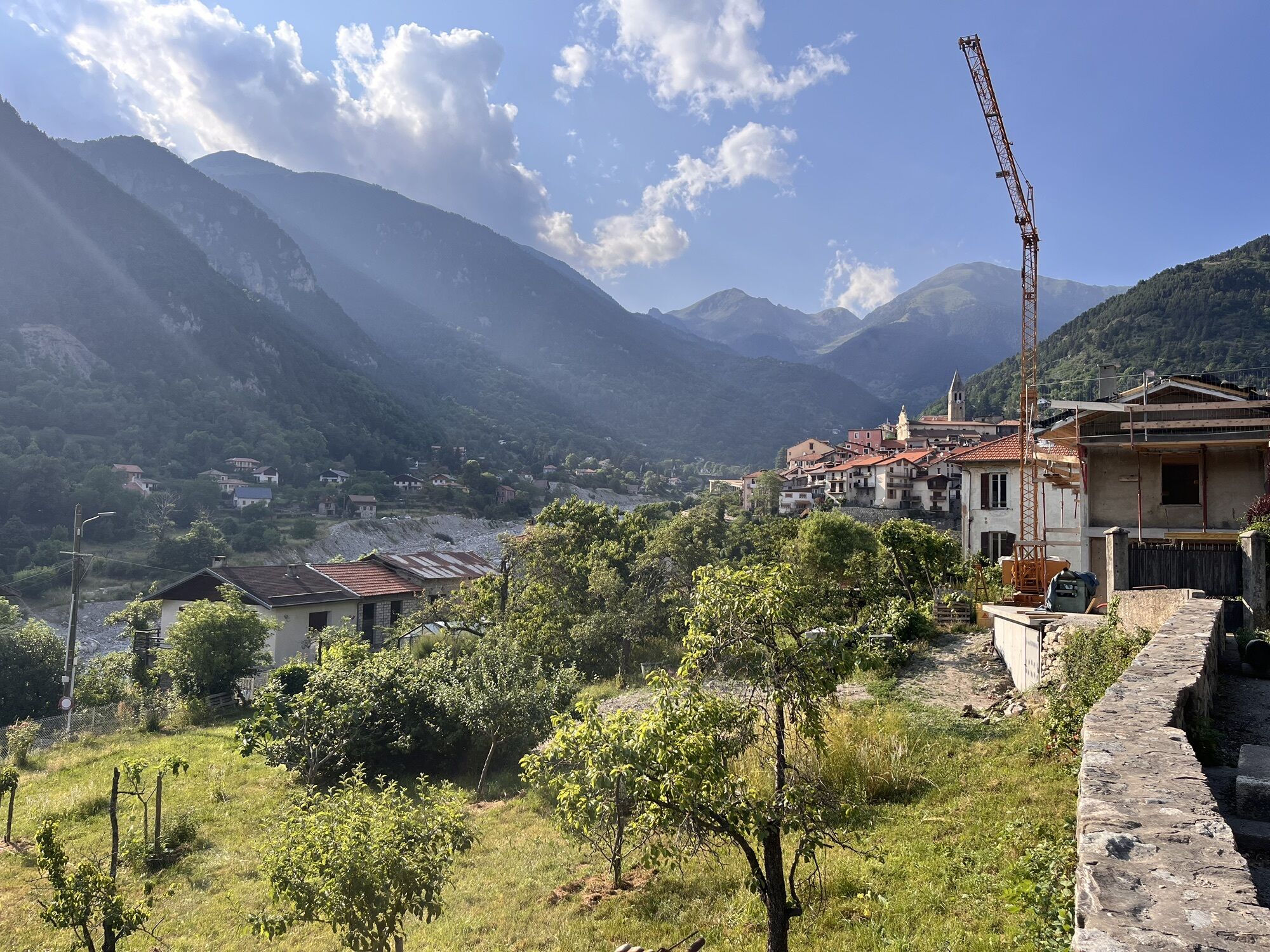
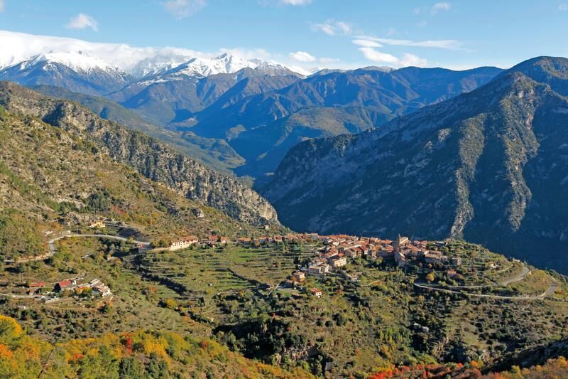
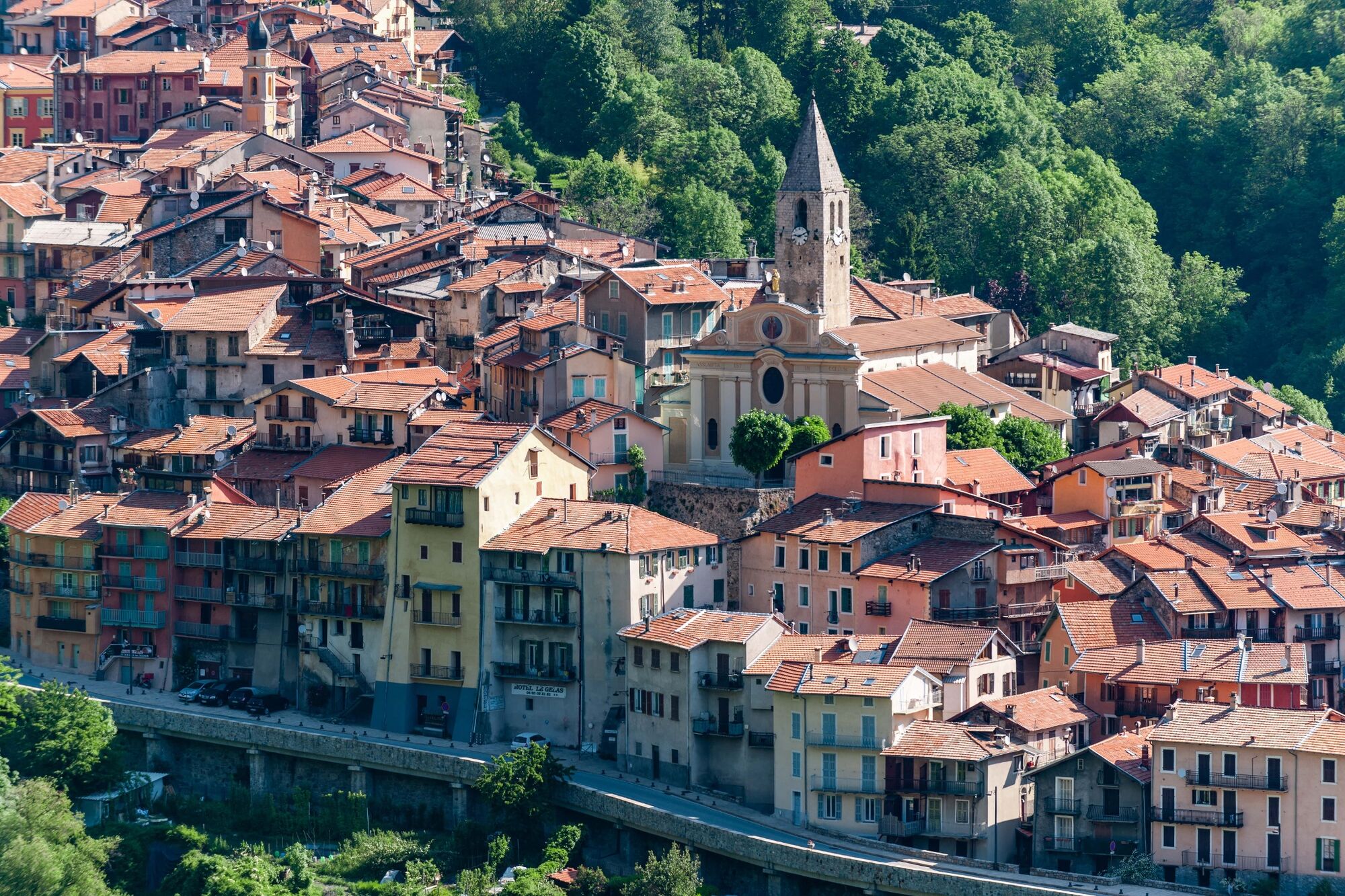
The village of Saint-Sauveur-sur-Tinée at 500 m altitude, located on the Tinée road M 2205, 64 km from Nice, benefits from a privileged location to start unique routes, which might not always be possible to do from Nice without covering many kilometers.
Nice is served by the A8 motorway "La Provençale", coming from Aix-en-Provence in the West and from the border in the East.
To reach the start from Nice :
Take Exit No. 52: Saint-Isidore
Direction Digne via RM 6202
Then take the Tinée Road (RM 2205)
Find bus lines at: https://www.lignesdazur.com
Some parking spots are available near the starting panorama on the edge of the RM 2205. However, prioritize parking below the RM 2205, on the banks of the Tinée, towards the gendarmerie
5
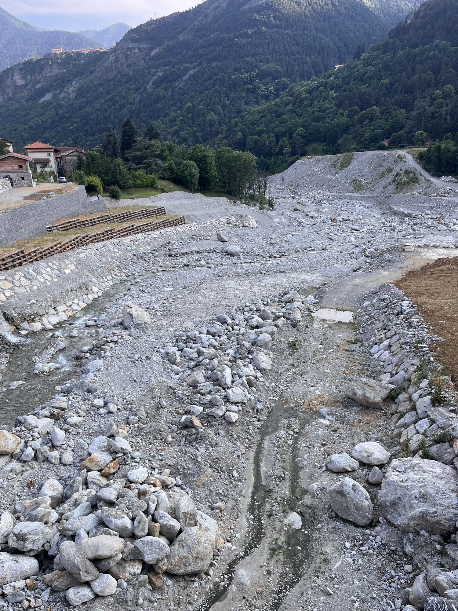
05/04/2021: Attention, the circuit was affected by Storm Alex in October 2020. Reconstruction work is underway in the Vésubie valley.
At the exit of the place called Le Suquet, the route includes a detour via Pélasque. This difficulty can be avoided by continuing on the RM 2565 from the village of Lantosque and Roquebillière, the starting and ending point of the loop.
Route for experienced cyclists - FFC color: black - Very difficult
All outdoor activities of the Métropole Nice Côte d'Azur are on https://outdoor.nicecotedazur.org
Obľúbené výlety v okolí
-
The Salt Roads: The Pagarine Route
strednádiaľková pešia trasa 159,7 km -
FFC MTB Circuit No. 4b: Le Turini
strednáMountainbike 32,0 km -
FFC cycling circuit no. 30: the loop of the Col de la Couillole
ťažkéCestný bicykel 70,8 km -
Roquebillière - Saint-Martin-Vésubie / Pagarine route (stage 5)
ťažkéTuristika 18,3 km -
Utelle - Roquebillière / Pagarine route (stage 4)
strednáTuristika 20,0 km -
Mercantour to Nice Electric Mountain Bike Route "e-bike MNCA"
strednáMountainbike 236,3 km -
Mountain bike circuit FFC no. 21a: Les granges de la Brasque
ťažkéMountainbike 41,2 km -
Route n°1 - 2 days - Stage 2 Isola Village - Nice
ťažkéCestný bicykel 139,4 km -
FFC mountain bike route no. 11: The pointe de la Penna
strednáMountainbike 11,1 km -
VTT FFC route no. 2: The Férisson dairy farm
ťažkéMountainbike 28,0 km
Turistika a stopovanie


Nenechajte si ujsť ponuky a inšpiráciu na ďalšiu dovolenku
Vaša e-mailová adresa bol pridaný do poštového zoznamu.