Nenašli sa žiadne záznamy.
Vyhľadávanie momentálne nie je k dispozícii.
Upresnite svoje vyhľadávanie.
Výsledky miestneho vyhľadávania (<= 25km)
Ďalšie výsledky (> 25km)
%count% Výsledky vyhľadávania
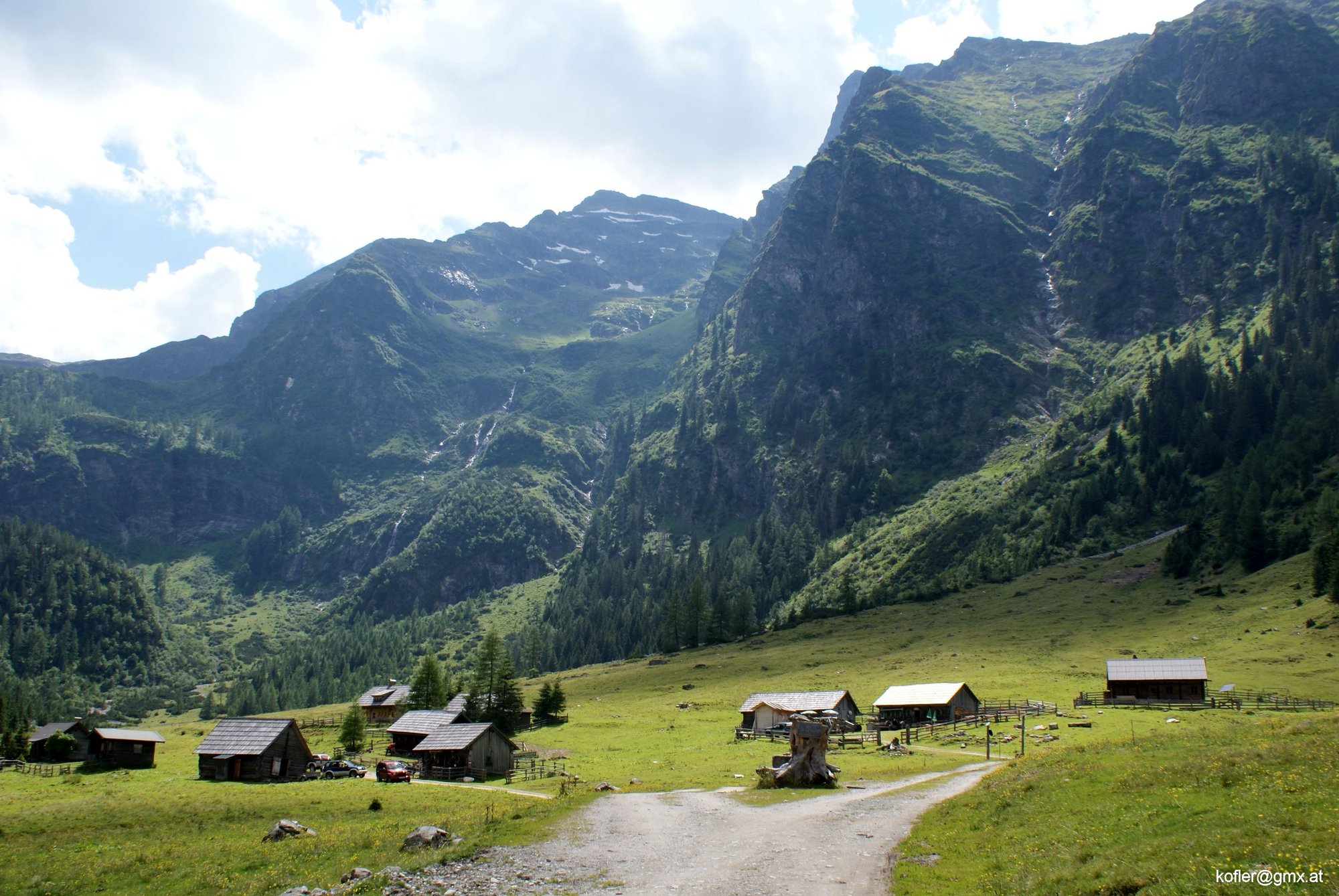
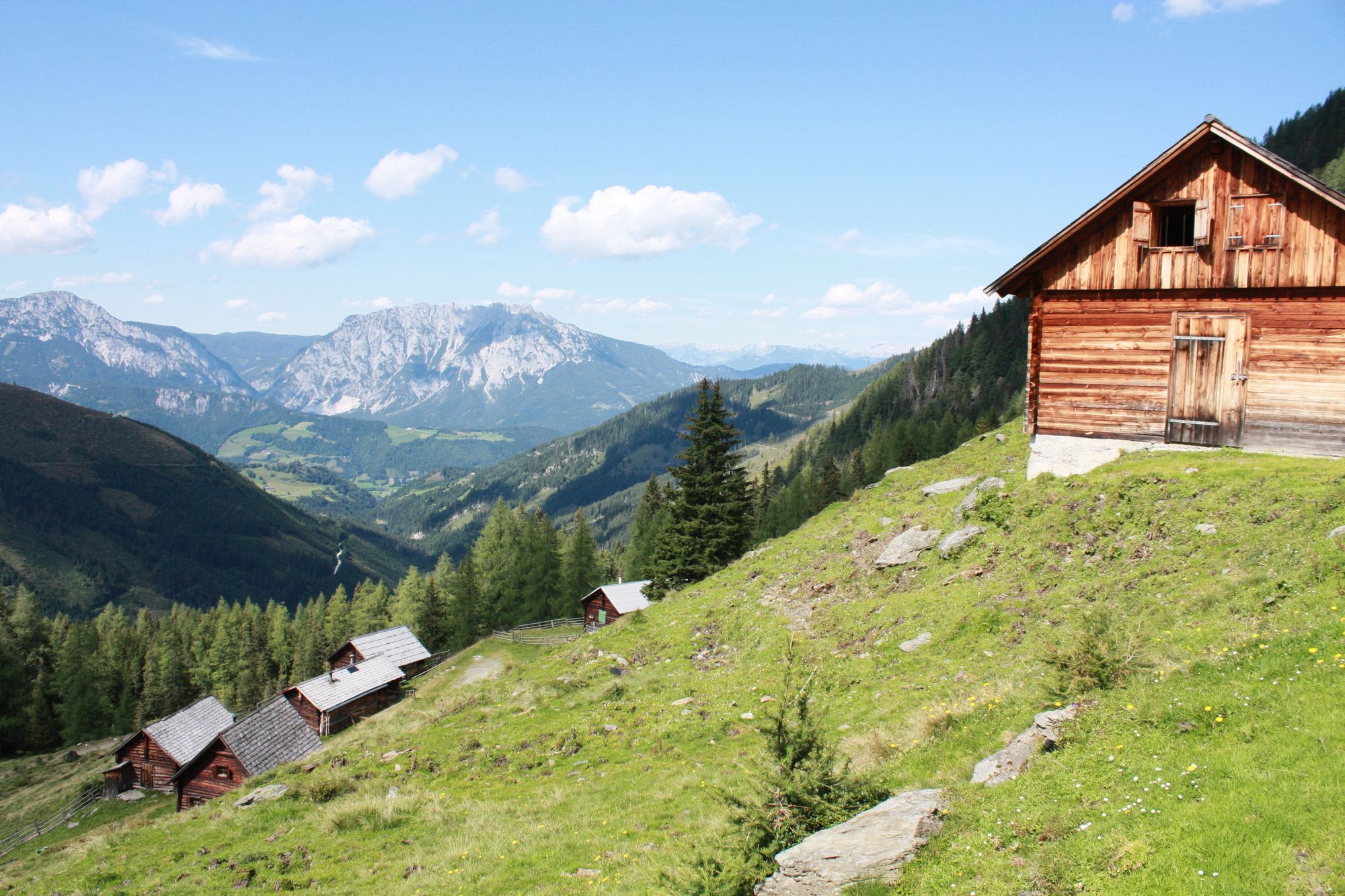
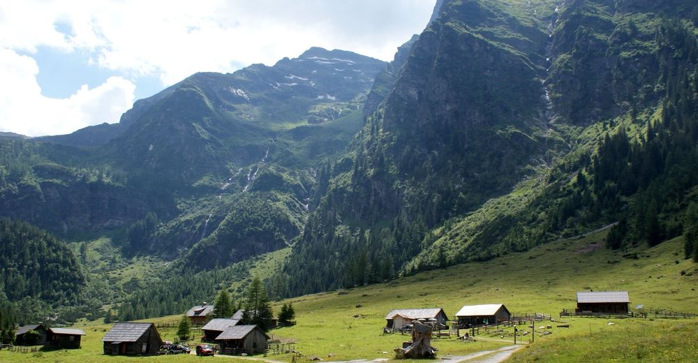
Hiking in the Sattental near Pruggern - impressive valley head landscape with many hiking options.
The Tauern Valley near Pruggern with its steep drop into the bottom of the Enns is a popular destination for hikers and mountaineers. It is a lively Tauern valley thanks to the farmed alpine pastures. On the mountain road ascending in the lower part of the Pruggererberg, the Sattentalweg trail soon branches off to the left at a signpost and turns towards the south-facing valley.
Along the last farms you reach the alpine road, which ends in the basin-like head of the valley at the northern foot of the mighty Hochwildstelle.
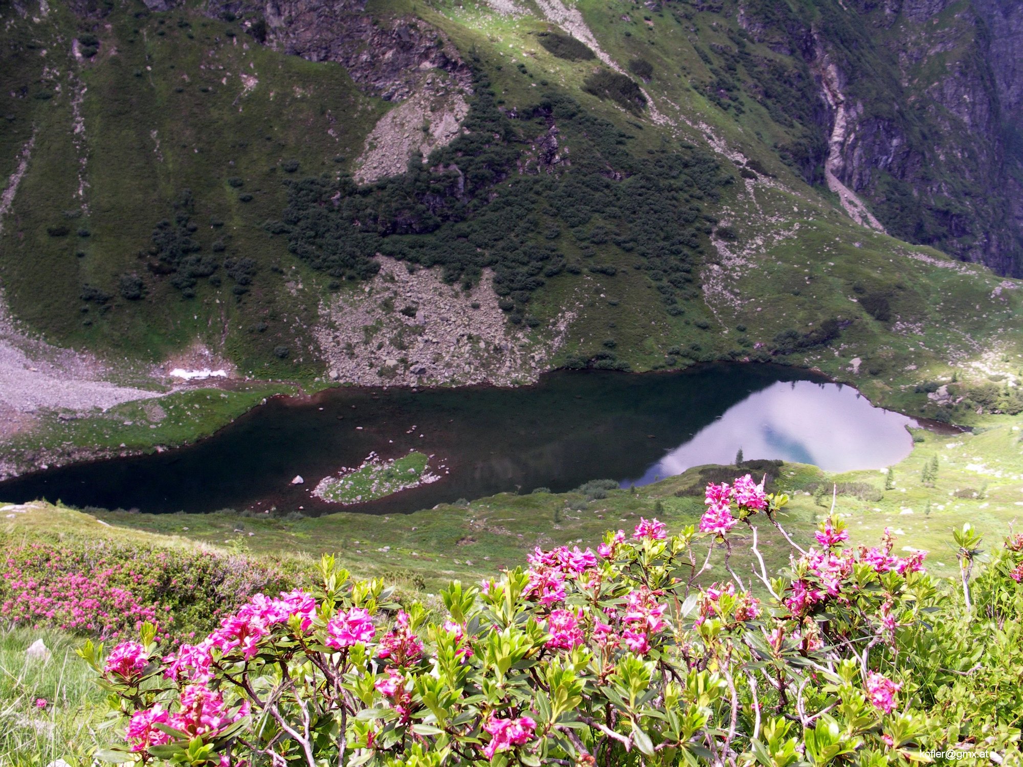
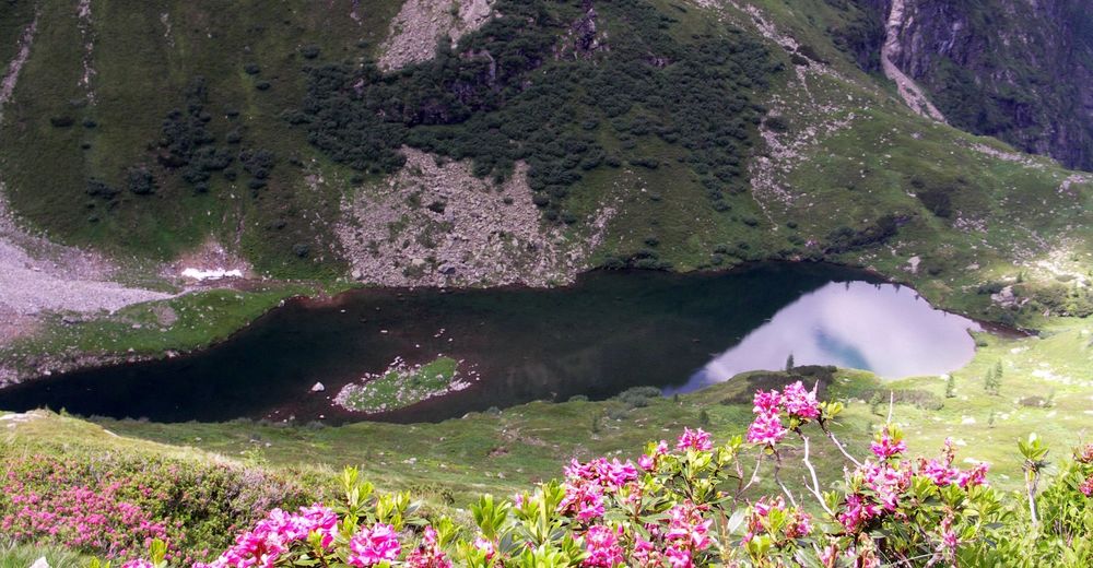
Lake Stierkarsee
Ascending at the farthest corner along the stream, the path leads upwards through the bouldery cirque. After a short hour's walk, the path turns right over the ridge into the neighboring Hochkar, an approx. 1 1/2 hour climb into a tranquil landscape. There is no hut at the Stierkarsee.
Sattental - Goldlacken - Trattenscharte - Hochwildstelle 2747 m
As described above, the path leads to the edge of the Stierkarsee. However, you do not descend the short section to the Stierkarsee, but turn right upwards. The trail climbs higher and higher over charming cirques, nival soils and ridges before entering the small basin of the Goldlacken via rugged crags. These are not wrongly named, as they are a miniature version of the Klafferkessel. Bear in mind, however, that the Lacken are often covered in ice until well into August due to their altitude.
Here you meet trail no. 702 coming from the Breitlahnhütte, which leads up the short section to the Trattenscharte, 2408 m. Now cross almost horizontally to the Wildlochscharte, where the south ridge to the summit of the Hochwildstelle begins. The exposed block ridge now leads directly up to the summit, 2747 m. 3 1/2 to 4 hours.
Mountain experience or a guide is required to climb the south ridge. Descent options to the Preintalerhütte or Hans-Wödl-Hütte.