







Odenbachtal Cycle Route

Úroveň náročnosti: 3
Requirement: Suitable for everyday experienced cyclists from Otterbach, from the direction of Odenbach the altitude meters are distributed more, therefore suitable for everyone.
Surface qualities:
- 27.5...
Requirement: Suitable for everyday experienced cyclists from Otterbach, from the direction of Odenbach the altitude meters are distributed more, therefore suitable for everyone.
Surface qualities:
- 27.5 km asphalt
- 4 km water-bound surfaces
Route in the cycle network: The Odenbachtal Cycle Route connects the Lauter valley with the Glan valley.
From Otterbach, the Odenbachtal Cycle Route runs along an idyllic cycle path near the Otterbach stream and the natural playground "Ottertal" to Otterberg. The Walloon town of Otterberg is known for its historic old town with its varied, impressive half-timbered houses and the Cistercian Abbey Church from the 12th/13th century.
Further northwest, the cycle route winds parallel to the road downstream through the Odenbachtal. Worth seeing are the Villa Rustica at Ingweilerhof and the water castle in Reipoltskirchen with the sculpture trail.
More info: http://www.radwanderland.de/
UFFBASSE! - Campaign for considerate coexistence in nature
- Always behave prudently, friendly and considerate towards everyone you meet.
- Respect nature, do not destroy plants and always stay on the paths.
- Remember a rubbish bag for the way and take your rubbish back home.
- Please keep your dog on a leash at all times. Other visitors and animals will thank you.
- For your own safety, observe all path closures. Even on weekends.
- Park only in designated parking areas. Leave space for emergency routes and agricultural machinery.
- Give priority to agricultural and forestry traffic.

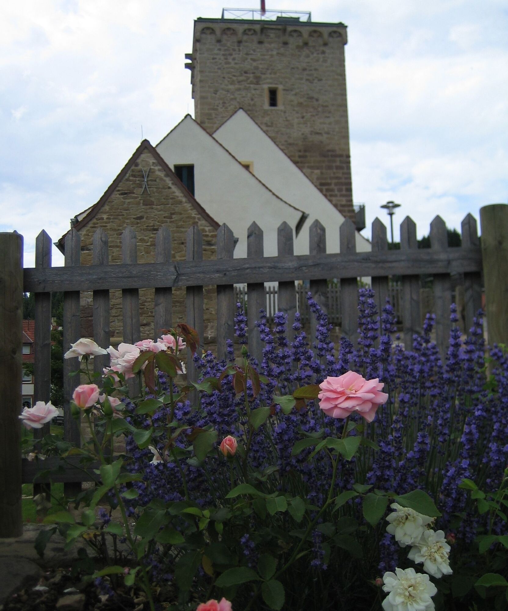
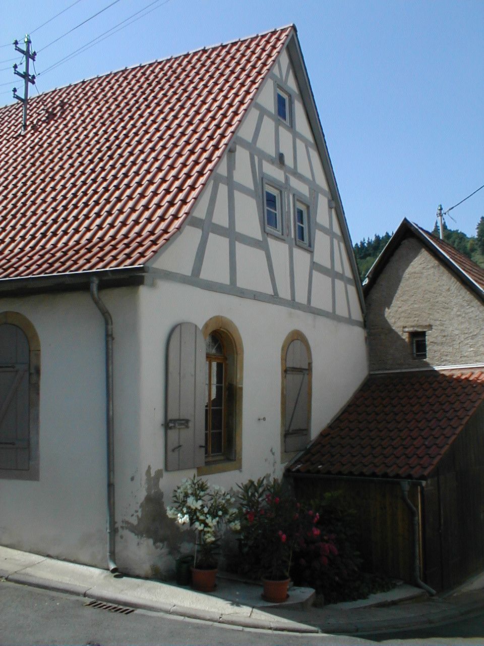
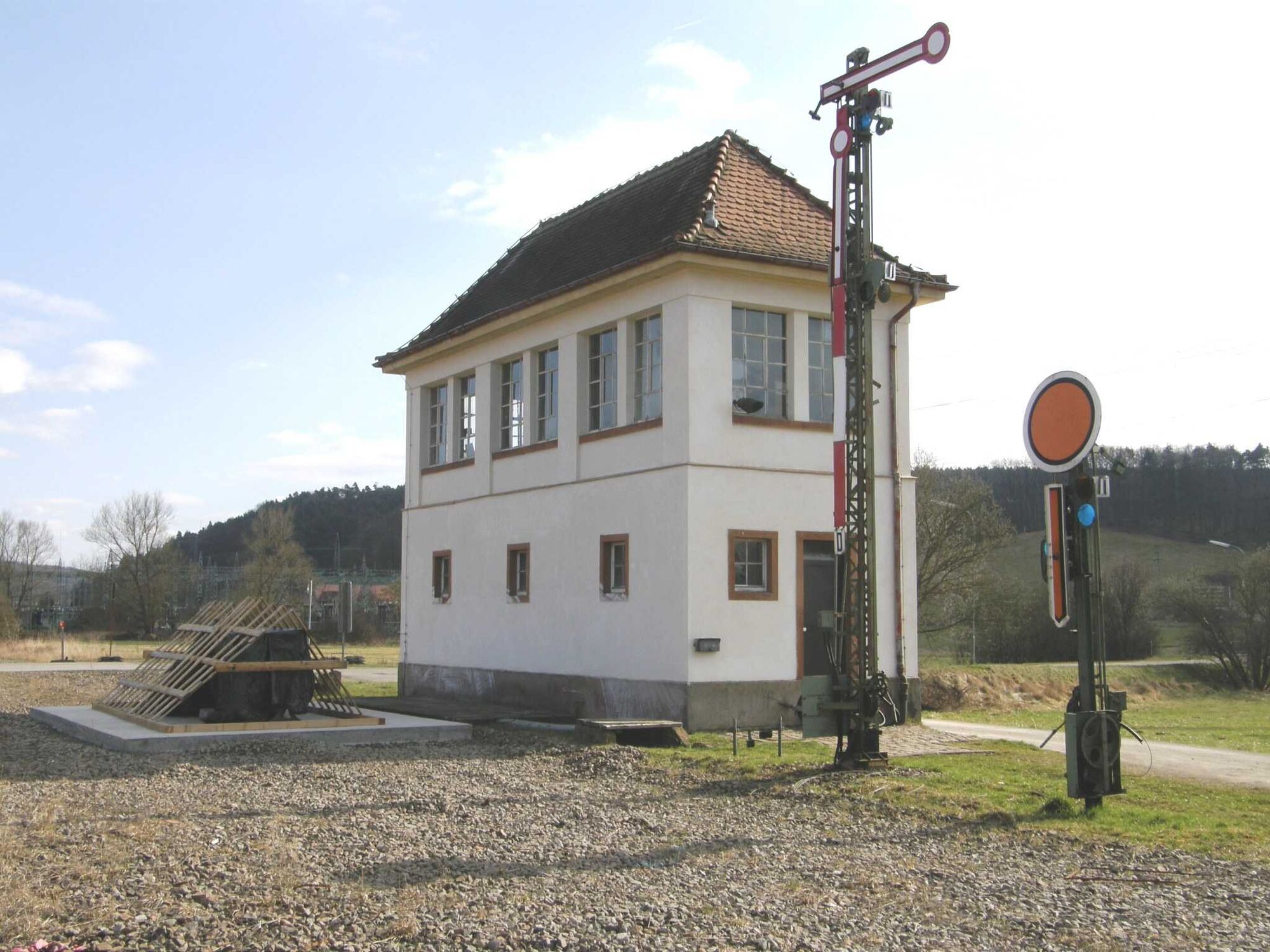
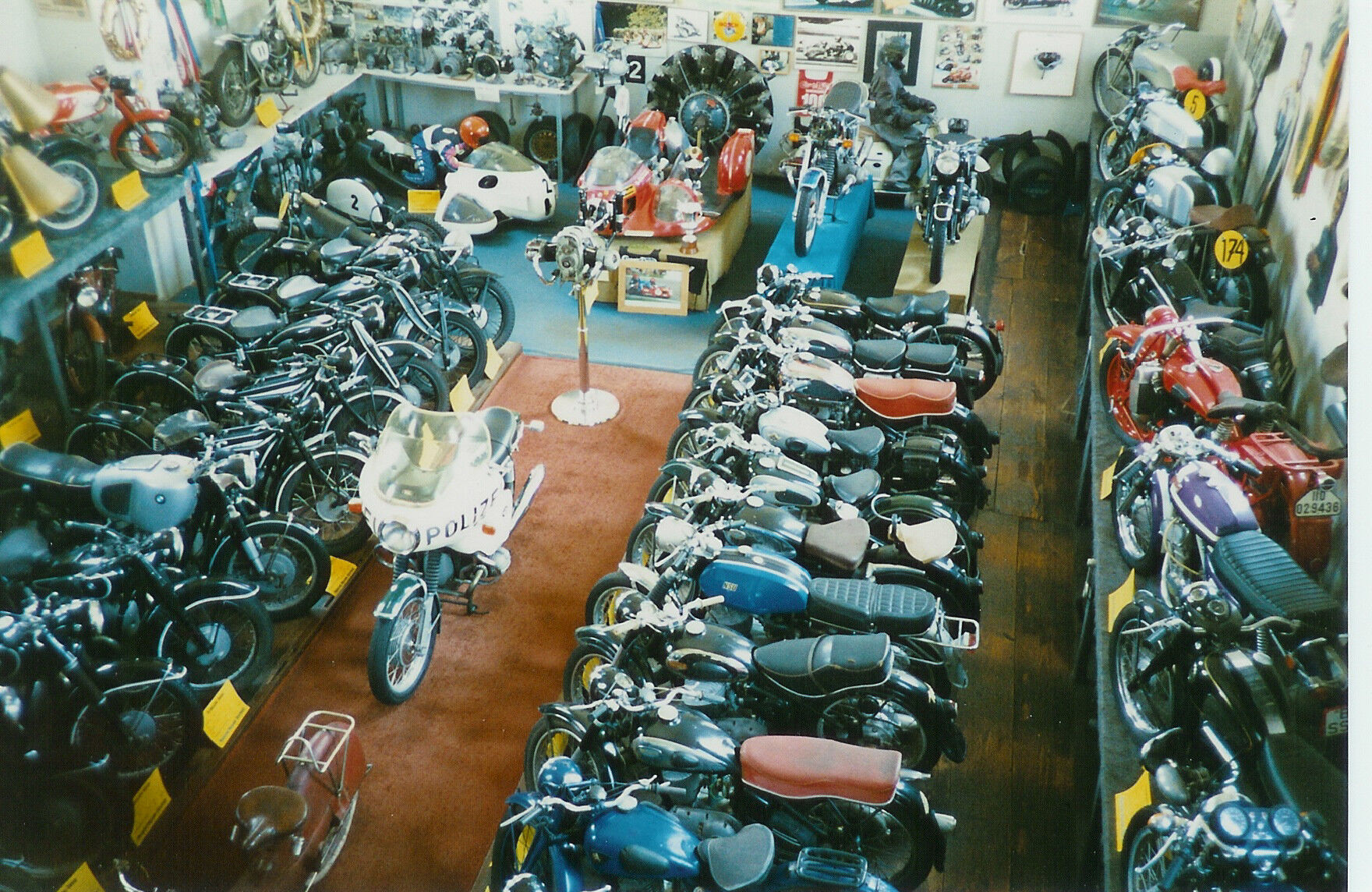
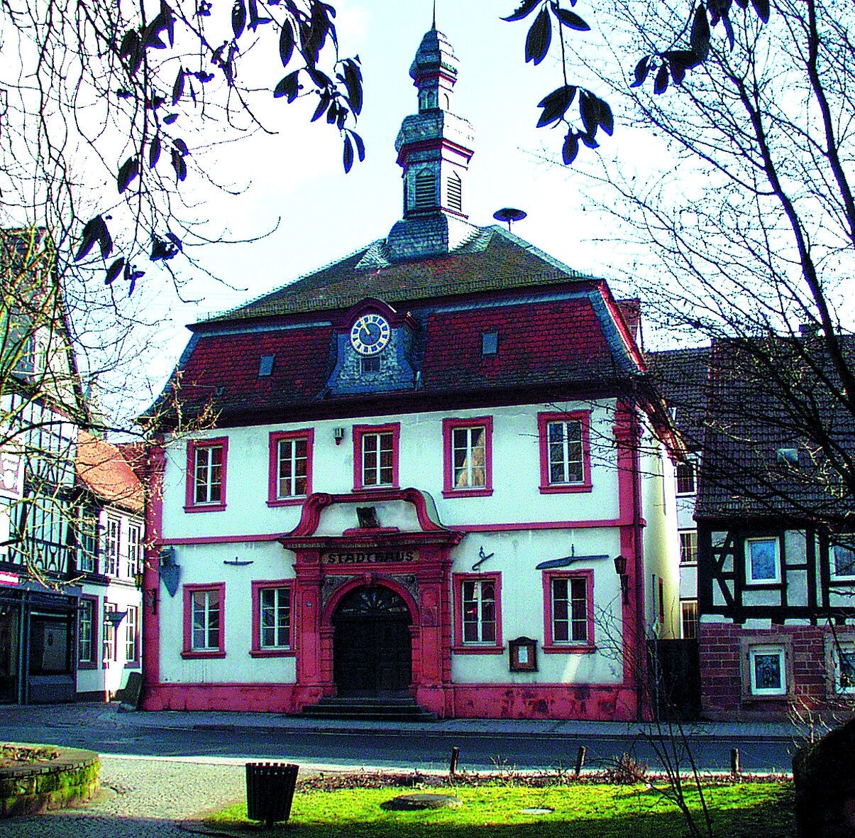
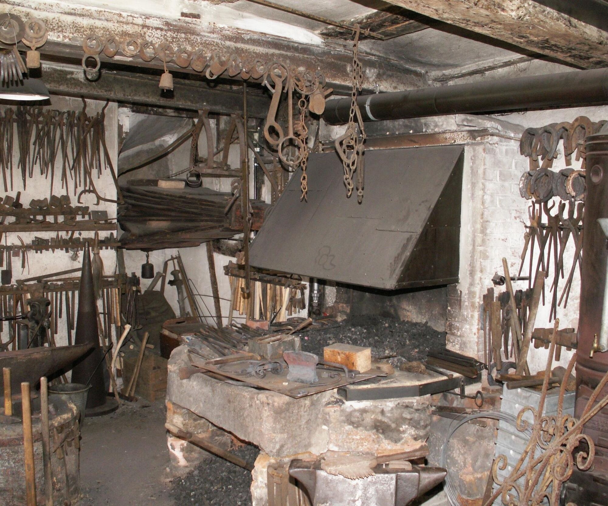
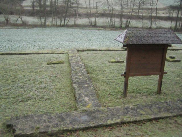
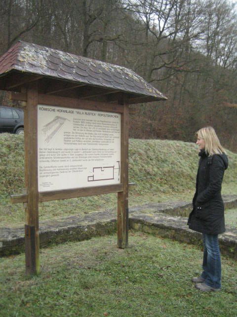

Starting from the train station in Otterbach, where there is a direct connection to the Lautertal Cycle Route and the Palatinate Land Cycle Route, the Odenbachtal Cycle Route runs eastward on a combined pedestrian and cycle path. Away from the main roads it goes straight through the idyllic Ottertal valley to Otterberg. At the entrance to Otterberg, the combined pedestrian and cycle path ends. The Odenbachtal Cycle Route crosses the "Kapellenweg" and continues straight on through "Otterstraße". At the height of the florist's shop, the cycle route turns left into "Bachstraße" and leaves the following roundabout at the first exit towards the town centre. Along the "Hauptstraße" the cycle route passes the Tourist Information, the Abbey Church and some half-timbered houses to the next roundabout. At the third exit, the Odenbachtal Cycle Route leaves the roundabout and continues via "Bergstraße" towards Schneckenhausen. Shortly before leaving the town, the cycle route turns left into "Lauerhöferstraße" and then immediately right again. Via the roadside cycle path, the Odenbachtal Cycle Route winds along the state road L 382 past the former Grafenthalerhof up to Schneckenhausen. Shortly before the town sign, the roadside cycle path ends and the Odenbachtal Cycle Route continues straight along "Otterberger Straße" until it turns left onto "Hauptstraße" at the bending priority road. At the exit from Schneckenhausen, the cycle route switches from "Hauptstraße" to the roadside cycle path and follows it to the entrance to Schallodenbach. Through the town on "Hauptstraße", the Odenbachtal Cycle Route uses the roadside cycle path from the town exit towards Niederkirchen. At the entrance to Niederkirchen, the roadside cycle path ends and the Odenbachtal Cycle Route runs along "Talstraße" through the town. From Niederkirchen's exit and until the completion of the cycle path, the Odenbachtal Cycle Route uses state road L 383 to Hefersweiler. In the district of Hefersweiler, the cycle route runs along "Hauptstraße" to the district of Berzweiler. At the cemetery, "Talstraße" branches off to the left. After about 150 m turn right into "Blücher Weg". The cycle route follows this dirt road to the Ingweilerhof. Here the path is unpaved over about 200 m in the area of a descent. At Ingweilerhof, the cycle route turns left onto an asphalted dirt road towards Reipoltskirchen. Passing the excavation of the foundations of a Roman Villa Rustica, the entrance to Reipoltskirchen is reached. Here at the junction with L 382 the cycle route branches off towards Dörrmoschel with further travel options into the Moschel valley and to Alsenz. The Odenbachtal Cycle Route turns left onto L 382 and goes into Reipoltskirchen town. After about 170 m, turn right into "Kegelbahnstraße". Follow this street to the water castle. Straight on into "Mühlstraße", past the water castle, and after 60 m turn left onto a dirt road. It crosses the Odenbach and runs about 1.4 km on the eastern side of the stream through the floodplain. Shortly before Ginsweiler, the dirt road meets L 382, which is crossed. On the western side of the road, a roadside cycle path continues. Behind the oil mill, the cycle route turns left, leads over another bridge and shortly before the town entrance turns right. The path joins L 382 and turns left along the street through Ginsweiler. At the town exit, the route continues along the roadside to Adenbach. Inside the town, the shared pedestrian and cycle path beside the main street can be used, which again leads to the roadside cycle path to Odenbach. At the entrance to Odenbach, the roadside cycle path ends and the route continues on "Hauptstraße". At Brühlerhof, the Odenbachtal Cycle Route meets the Glan-Blies Cycle Route.
For our bike tours, we recommend the following standard equipment:
- Wearing a helmet
- Weather-appropriate clothing
- Sun and rain protection
- Sufficient supply of food and drinks, as there are not always food or shopping options available or open.
- Although the paths are very well signposted throughout, it is recommended for safety reasons to always carry a suitable
cycle map so that, for example, you can quickly find a safe area in case of a thunderstorm or emergency.
General points:
Especially in autumn, fallen leaves can conceal uneven surfaces, roots, stones or holes in the path. After thunderstorms or heavy rain, trees can still fall or branches can break off afterwards. Especially in adverse weather conditions, natural paths can have muddy and slippery sections. You should expect such path impairments when you go on a bike tour. If you think certain sections are not passable for you, you should bypass them.
NOTE:
We strive to announce all closures due to forestry work or hunting parties on this platform. Nevertheless, there are situations where cycle paths are closed and we may not have been informed. If you unexpectedly come across a path closure or detour, please observe the instructions for your own safety.
The road traffic regulations must be observed!
The starting point Otterbach is reached via motorway A6 (exit Kaiserslautern-West) and B 270. The B 420 connects the northern starting point Odenbach.
There is a train connection directly on the cycle path in Otterbach (stop Lampertsmühle-Otterbach). From Odenbach, the train stations Lauterecken Grumbach (approx. 6 km) and Staudernheim (approx. 12 km) can be reached via the Glan-Blies Cycle Route.
Timetable information for arrival and departure: www.bahn.de and http://www.vrn.de/
67731 Otterbach, Lauterstraße (train station) - Coordinates: 49° 29´ 1´´ N / 7° 43´ 48´´ E
67753 Reipoltskirchen, Hauptstraße - Coordinates: 49° 38´ 1`` N / 7° 39´ 50´´ E
67748 Odenbach, Hauptstraße - Coordinates: 49° 41´ 6´´ N / 7° 39´ 2´´ E
3
Tourist Information Palatinate Highlands Hin & Weg
Bahnhofstraße 67
66869 Kusel
Tel: 06381 / 424 270
www.pfaelzerbergland.de
Email: touristinfo@kv-kus.de
Municipal Association Otterbach-Otterberg
Tourist Information
Hauptstraße 54
67697 Otterberg
Tel.: 06301/607 800
Fax: 06301/32761
www.otterbach-otterberg,de
Email: tourist-info@otterbach-otterberg.de
Radwanderland
www.radwanderland.de
Cycle route planner
Suggestions, observations or defects? Contact us by email: radwege@lbm.rlp.de
www.radwanderland.de (responsible for infrastructure and route description)
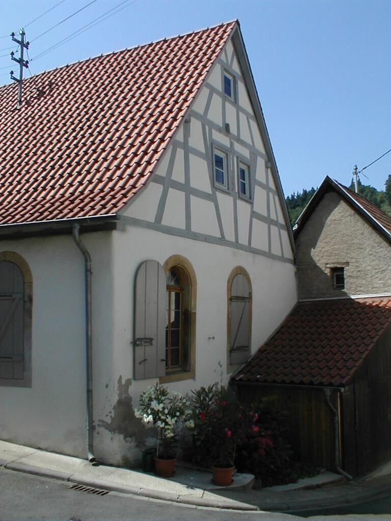
The Walloon town of Otterberg: Cistercian Abbey Church, impressive half-timbered houses
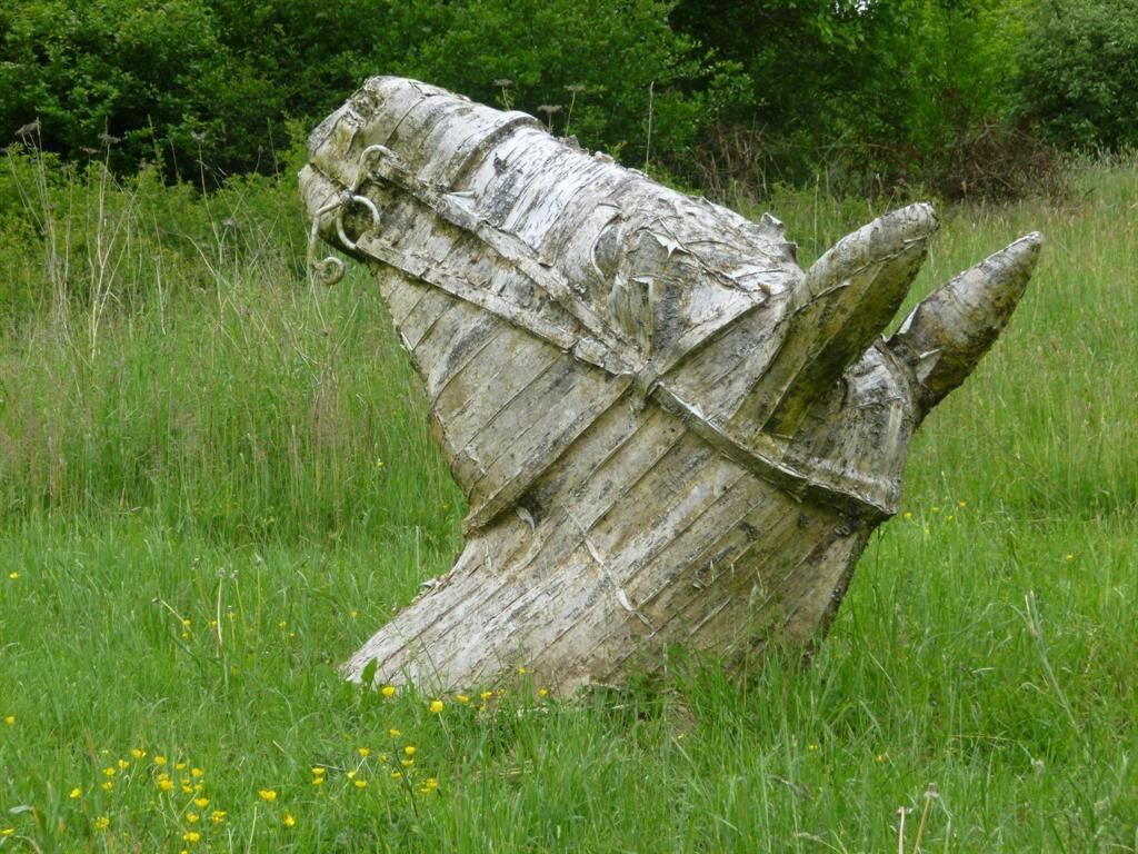
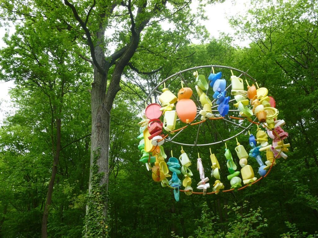
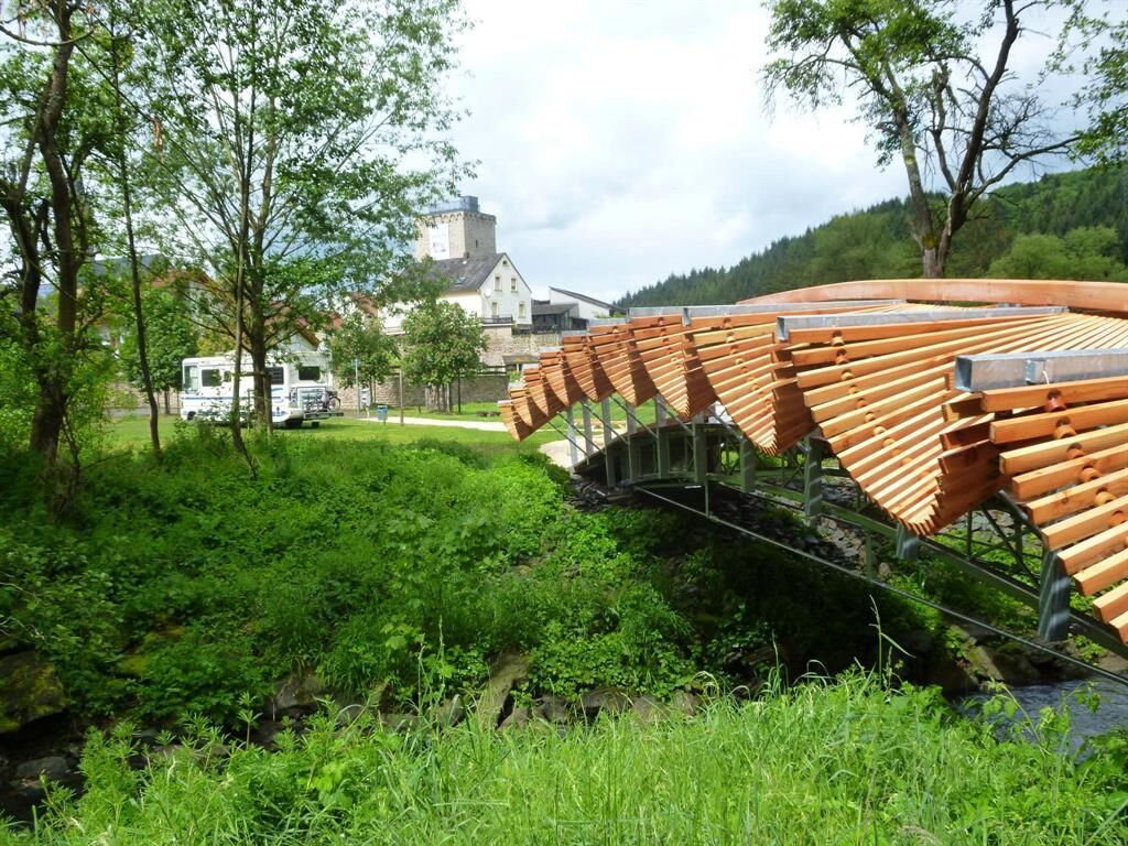
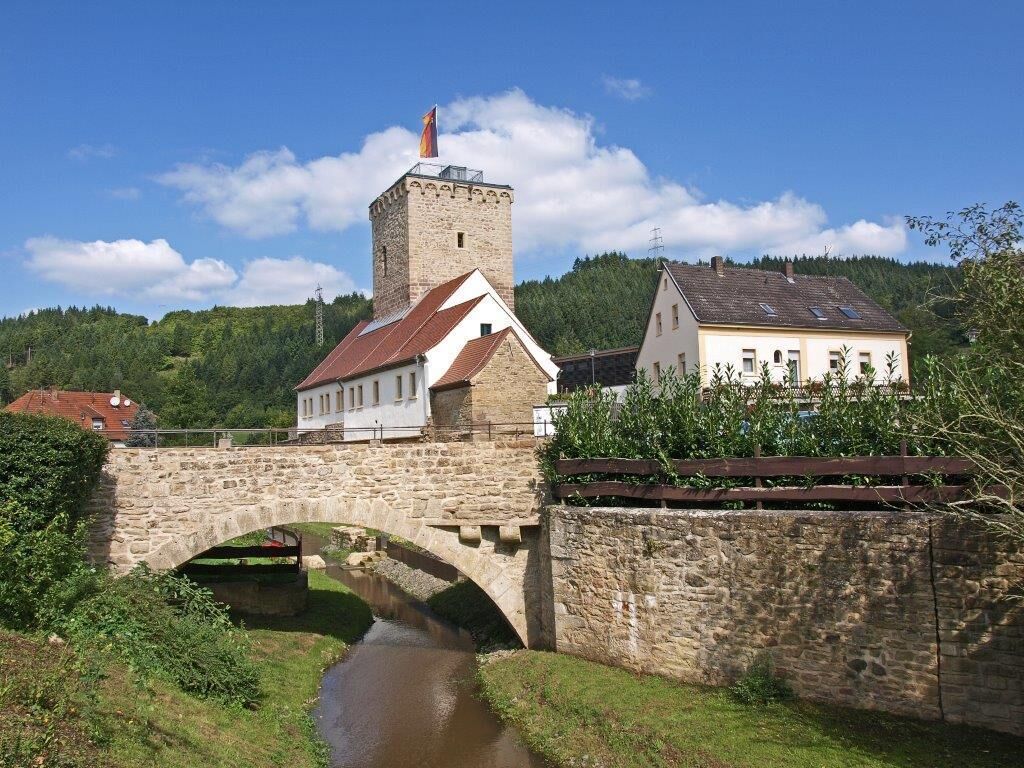
The water castle in Reipoltskirchen with a sculpture trail
Obľúbené výlety v okolí
-
Pfälzer Höhenweg complete route
ťažkédiaľková pešia trasa 115,8 km -
Lauter Valley cycle path
svetloCyklistika 36,1 km -
Glan-Blies cycle path - Stage 4 (Ulmet - Meisenheim)
svetloDiaľková cyklotrasa 26,2 km -
Pfälzer Land cycle path
strednáCyklistika 47,8 km -
Pfälzer Höhenweg Stage 04 Rockenhausen - Obermoschel
strednádiaľková pešia trasa 19,6 km -
Barbarossa Cycle Path | Family route, Kaiserslautern to Glan-Münchweiler
svetloCyklistika 24,6 km -
Steinbach: On the Jakobs pilgrimage route to Wartenberg-Rohrbach (VG Winnweiler)
svetloPútnická trasa 14,3 km -
R-EA-03 Northern Verbandsgemeinde Round Cycle Route Enkenbach-Alsenborn approx. 29 km
strednáCyklistika 28,9 km -
Around the Hunsrück-Nahe Region
ťažkéCestný bicykel 300,3 km -
Kleine Runde von Rodenbach
svetloTuristika 4,68 km
Turistika a stopovanie


Nenechajte si ujsť ponuky a inšpiráciu na ďalšiu dovolenku
Vaša e-mailová adresa bol pridaný do poštového zoznamu.





