



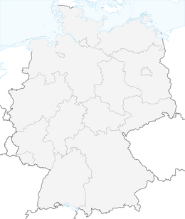


Altenkirchen - Cherry Land Path (circular route - 22.6 km)
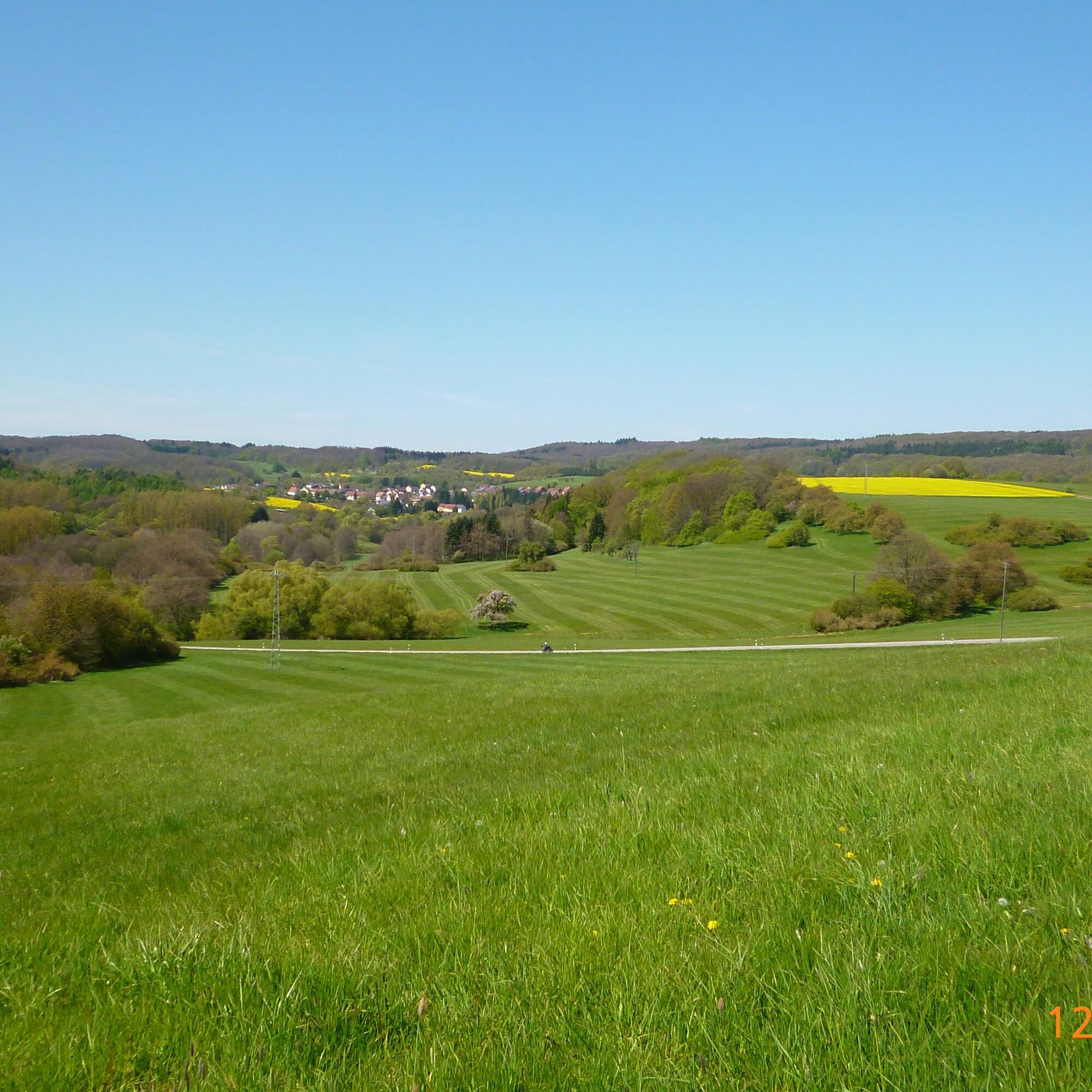
The circular route leads over 20 km through the districts of the three Kohlbachtal communities Dittweiler , Altenkirchen and Frohnhofen. The landscape is characterized by extensive orchards "fruit garden...
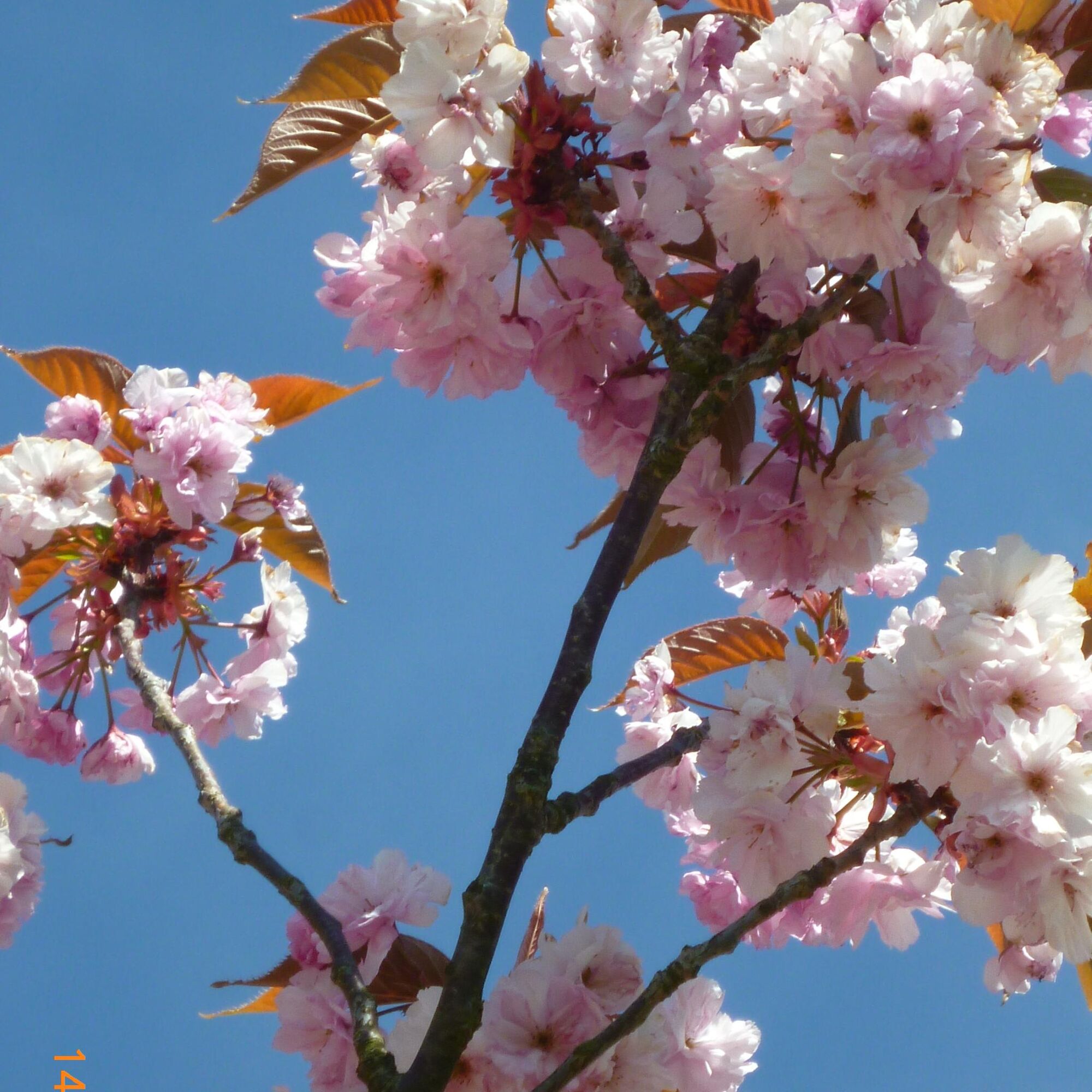
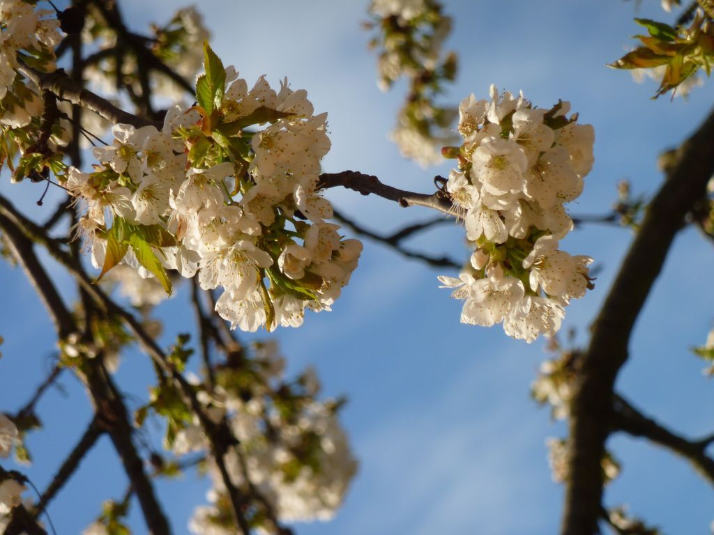
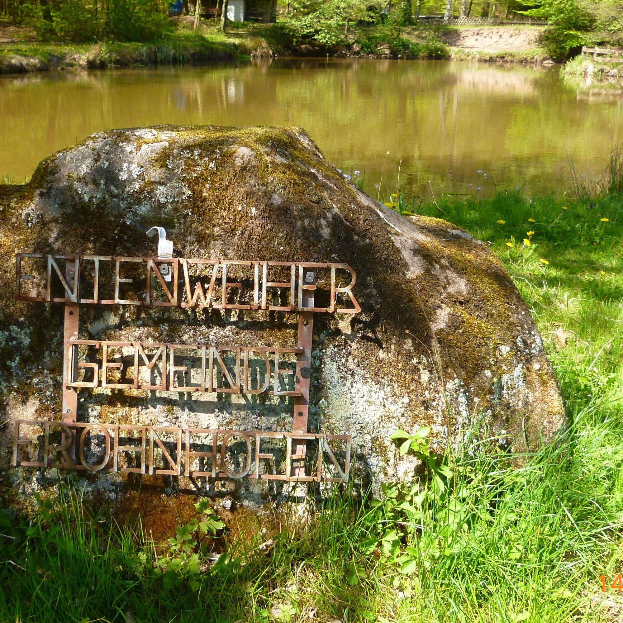
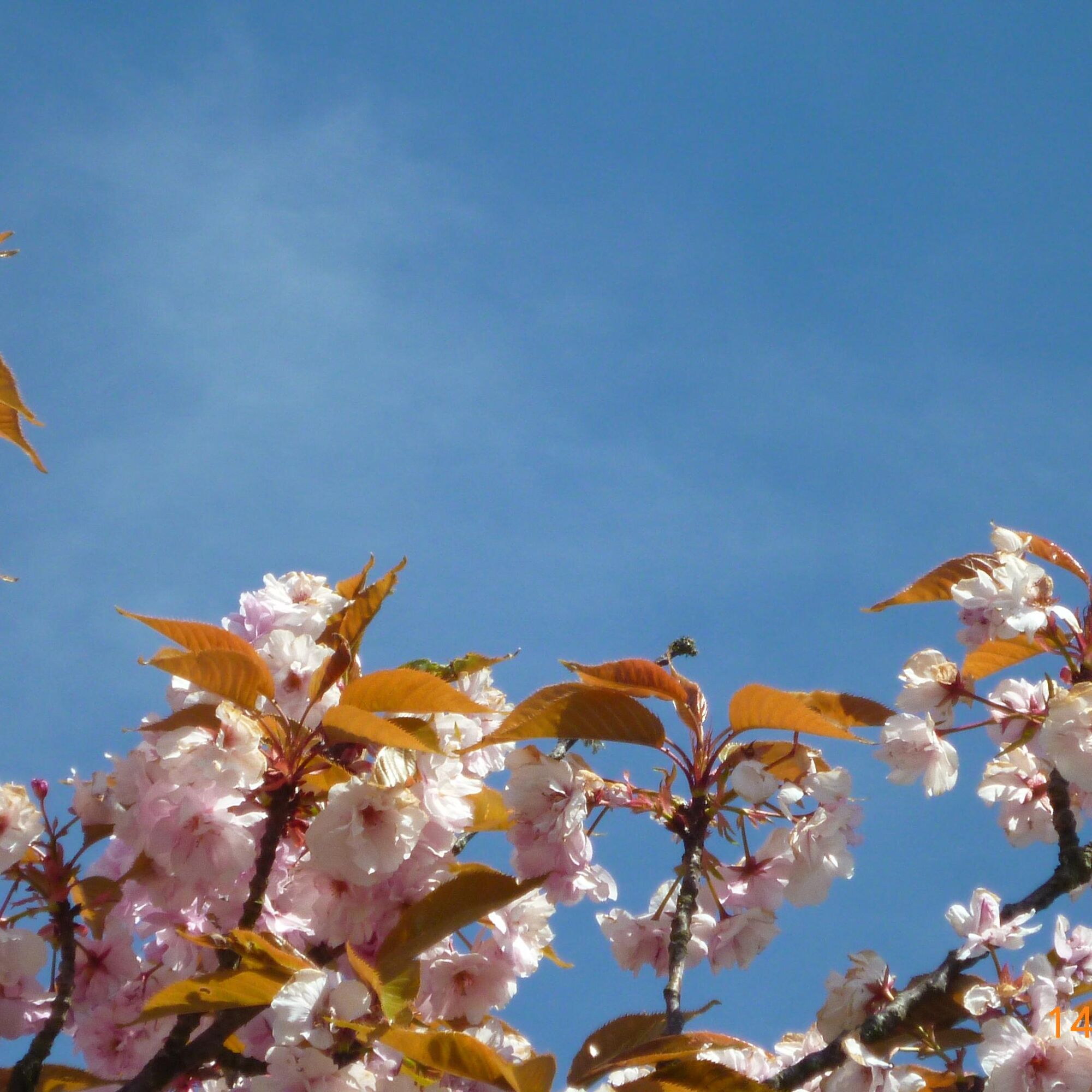
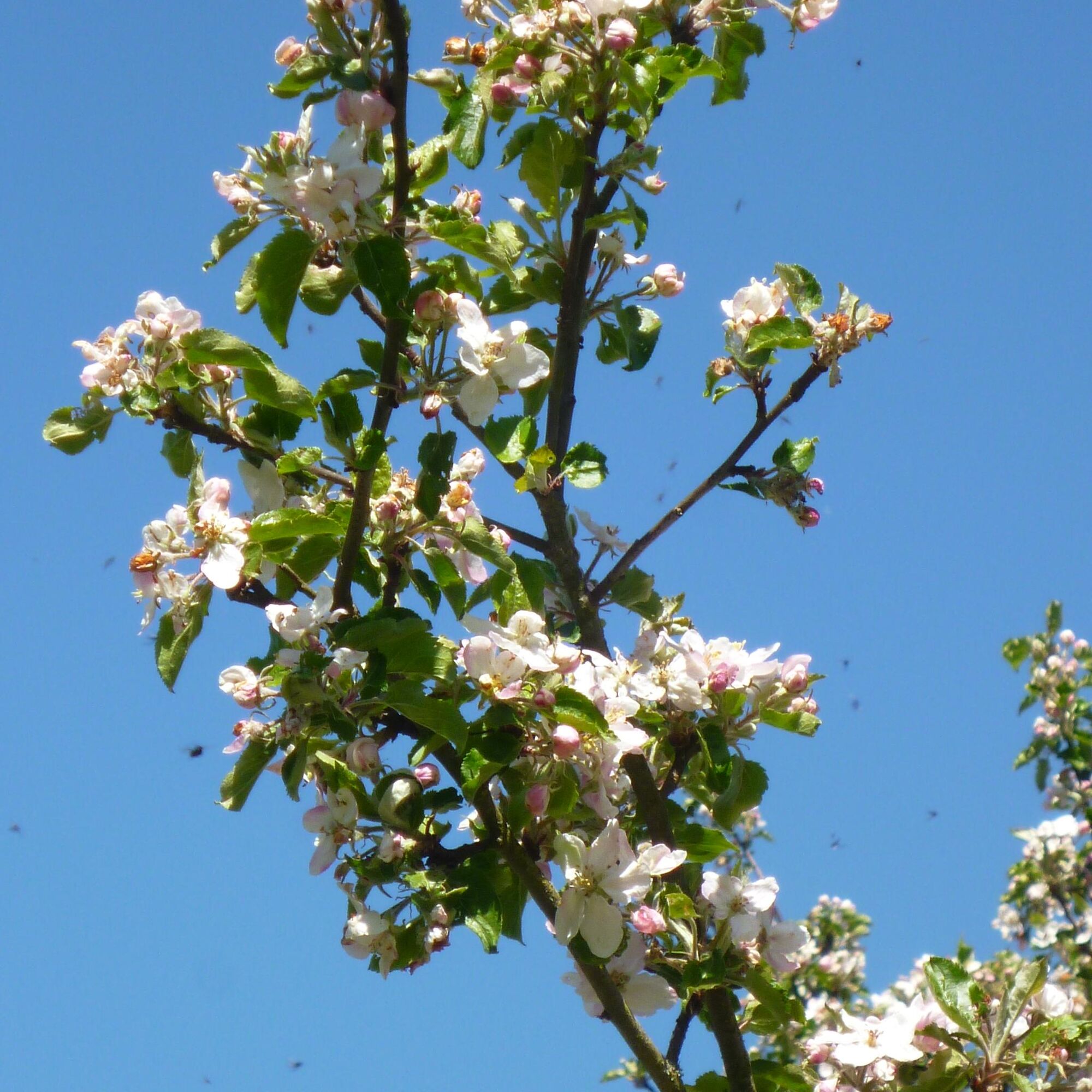
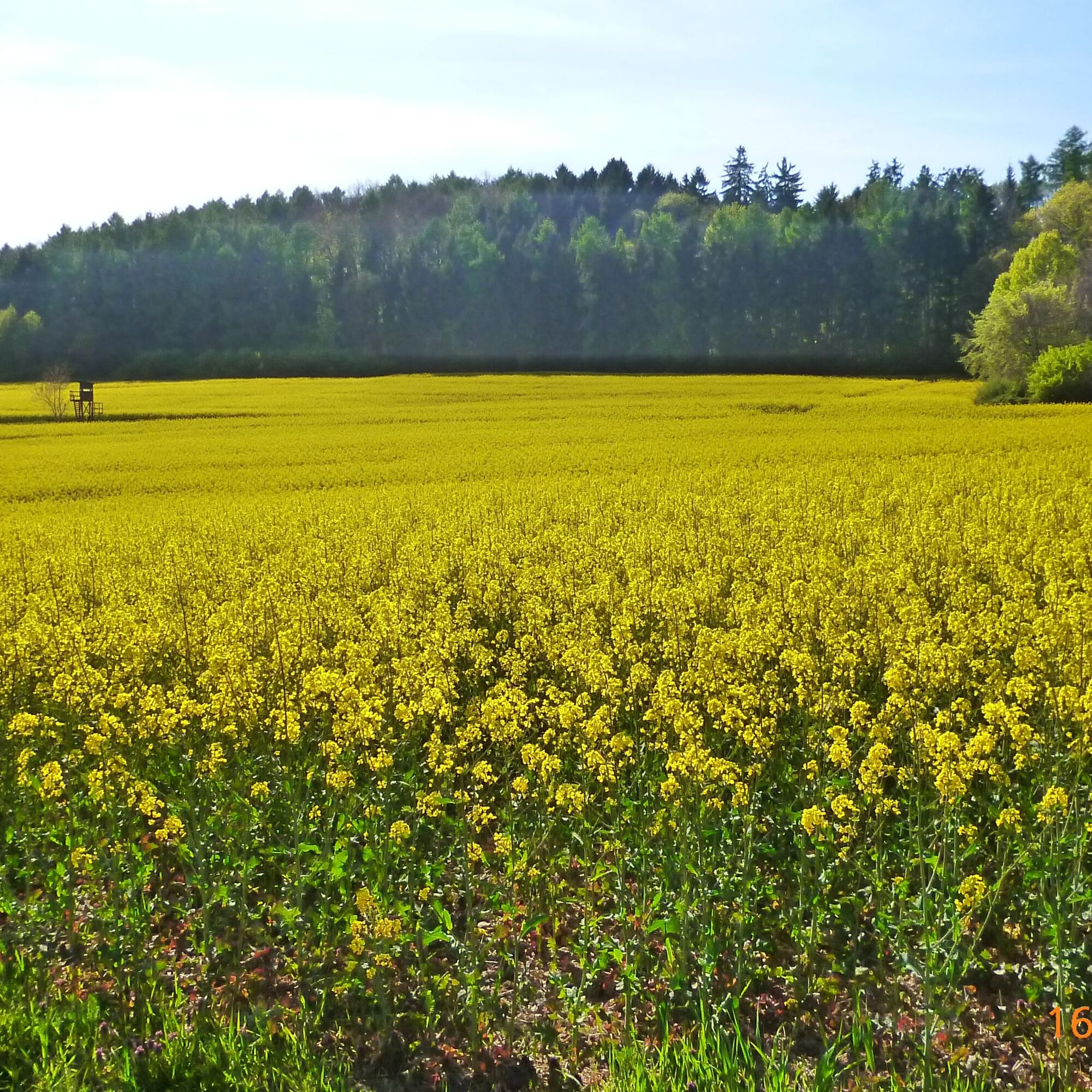
The circular route leads over 20 km through the districts of the three Kohlbachtal communities Dittweiler , Altenkirchen and Frohnhofen. The landscape is characterized by extensive orchards "fruit garden of Westrich". In spring, 30,000 fruit trees bloom, of which approx. 15,000 are cherry trees. The hiking trail leads to the beautiful local recreation areas Entenweiher in Frohnhofen, Höbelgraben in Altenkirchen and Elschbrunnen as well as Römerweiher in Dittweiler. A significant architectural-historical testimony is the Protestant church in Altenkirchen. The Altenkirchen local history museum houses a rich collection from former everyday life, emigration, and coal mining.
UFFBASSE! - Campaign for a considerate coexistence in nature
- Always behave with foresight, friendly and considerate towards everyone you meet along the way.
- Respect nature, do not destroy plants and always stay on the paths.
- Remember a waste bag for the way and take rubbish back home with you.
- Please keep your dog on a leash at all times. Other visitors and animals will thank you.
- Observe all path closures for your own safety. Also on weekends.
- Park only in designated parking spaces. Leave space for rescue routes and agricultural machinery.
- Give priority to agricultural and forestry traffic.


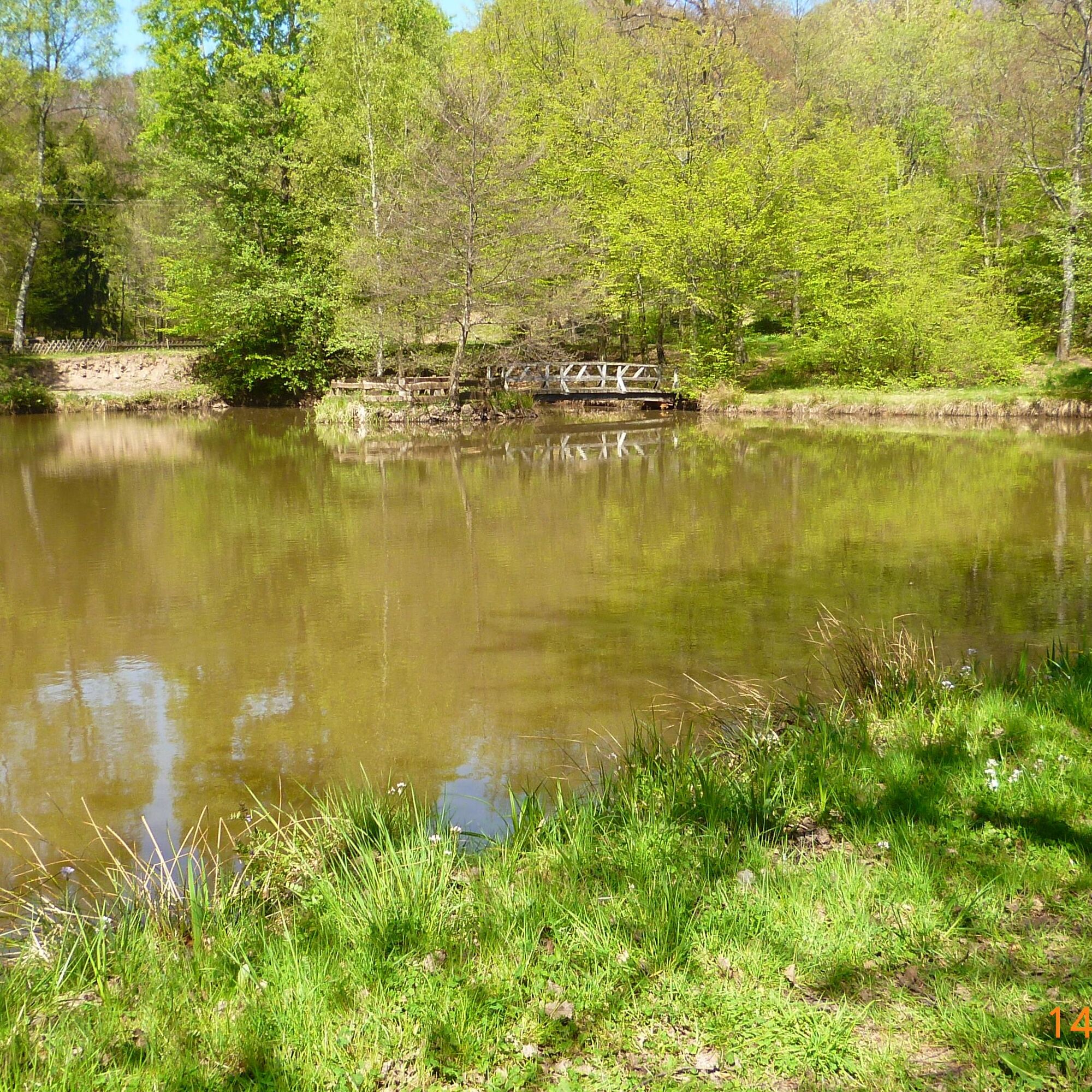
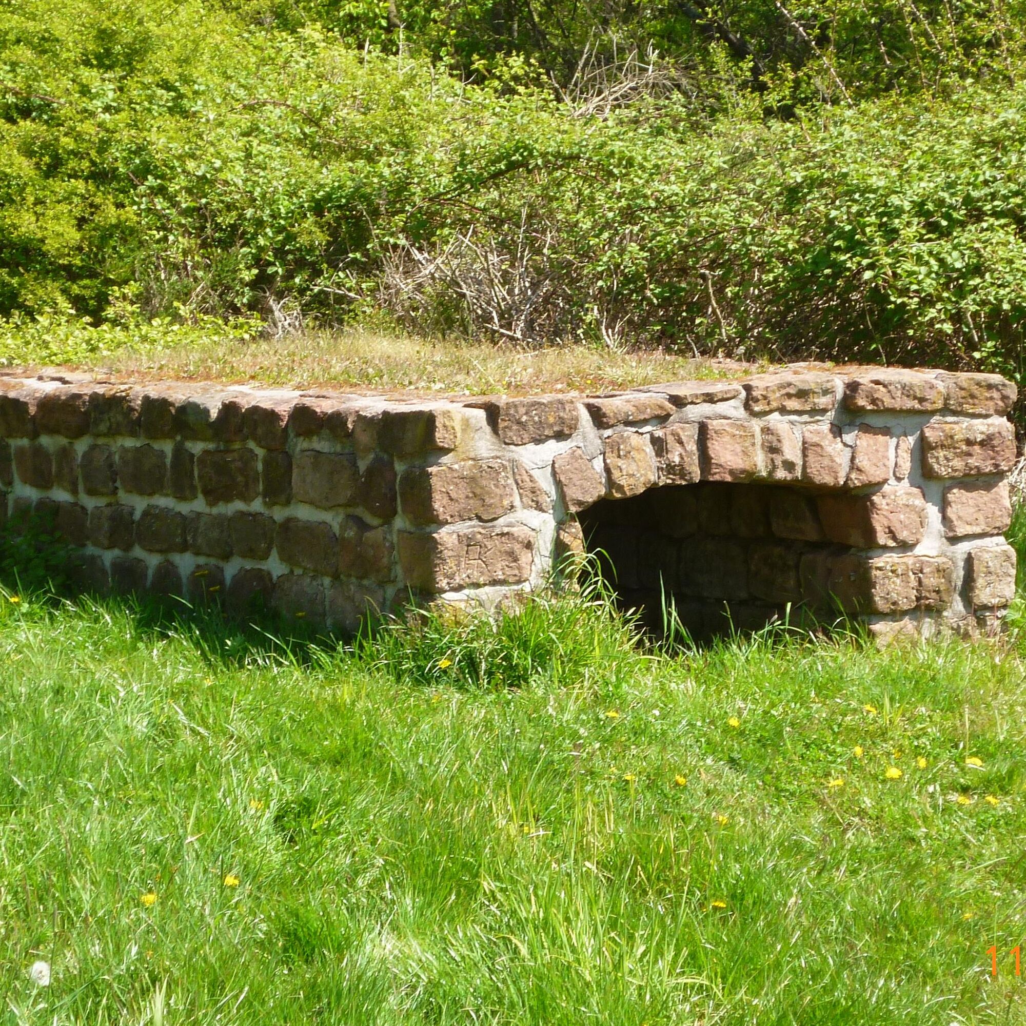
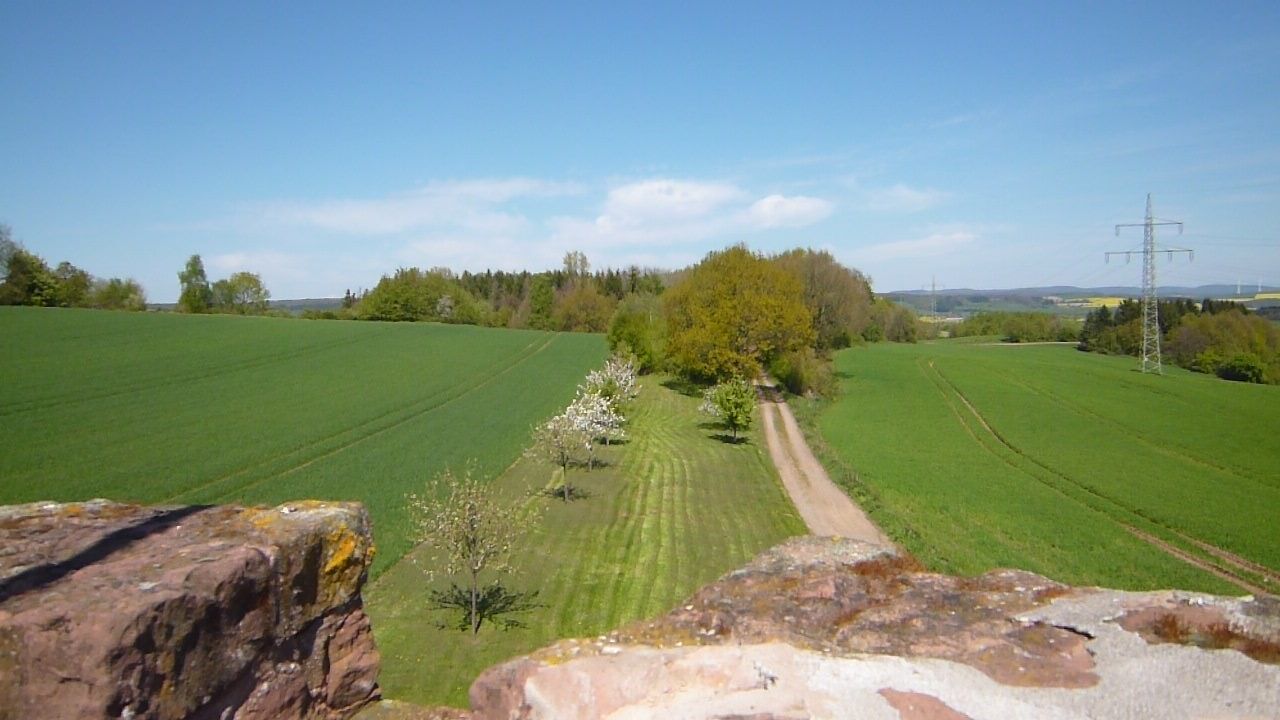
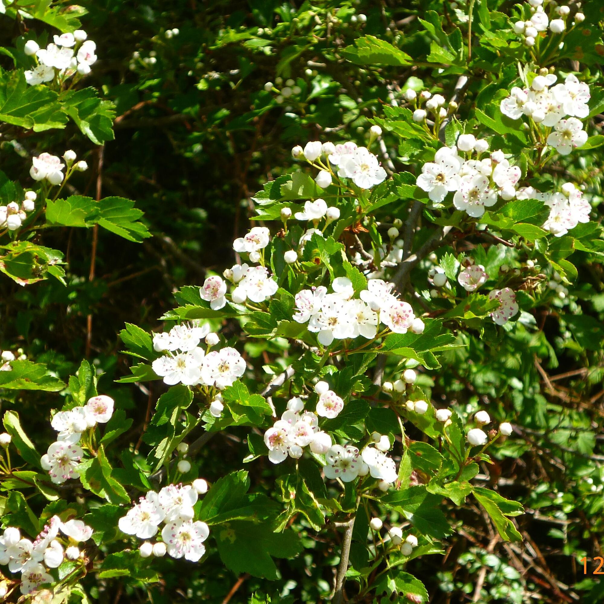
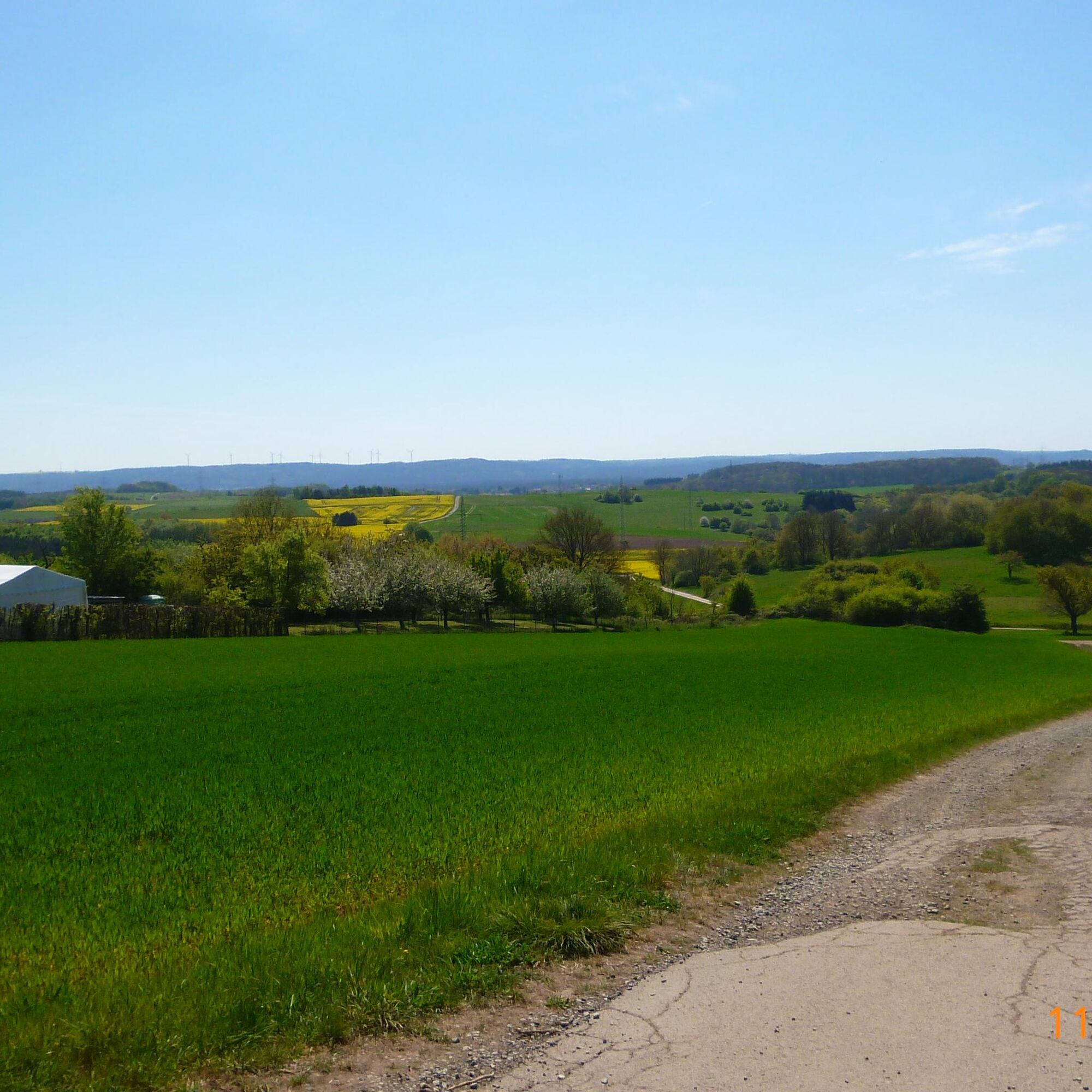
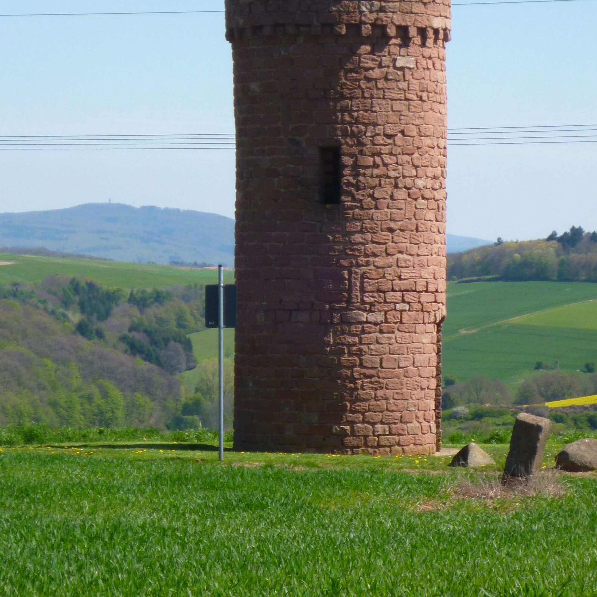
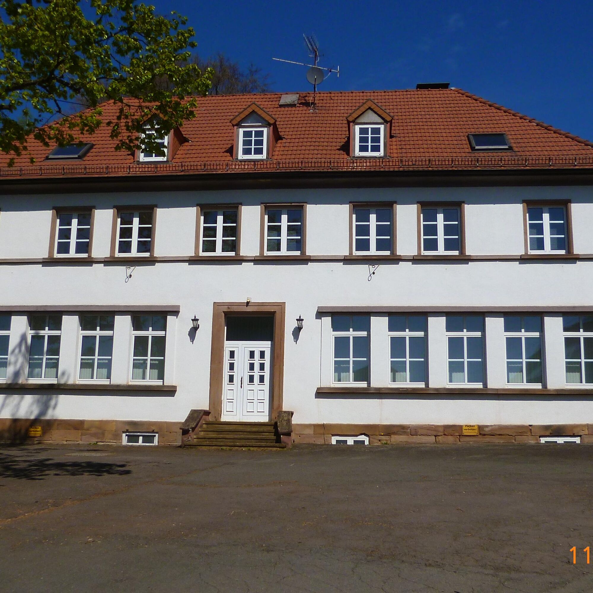
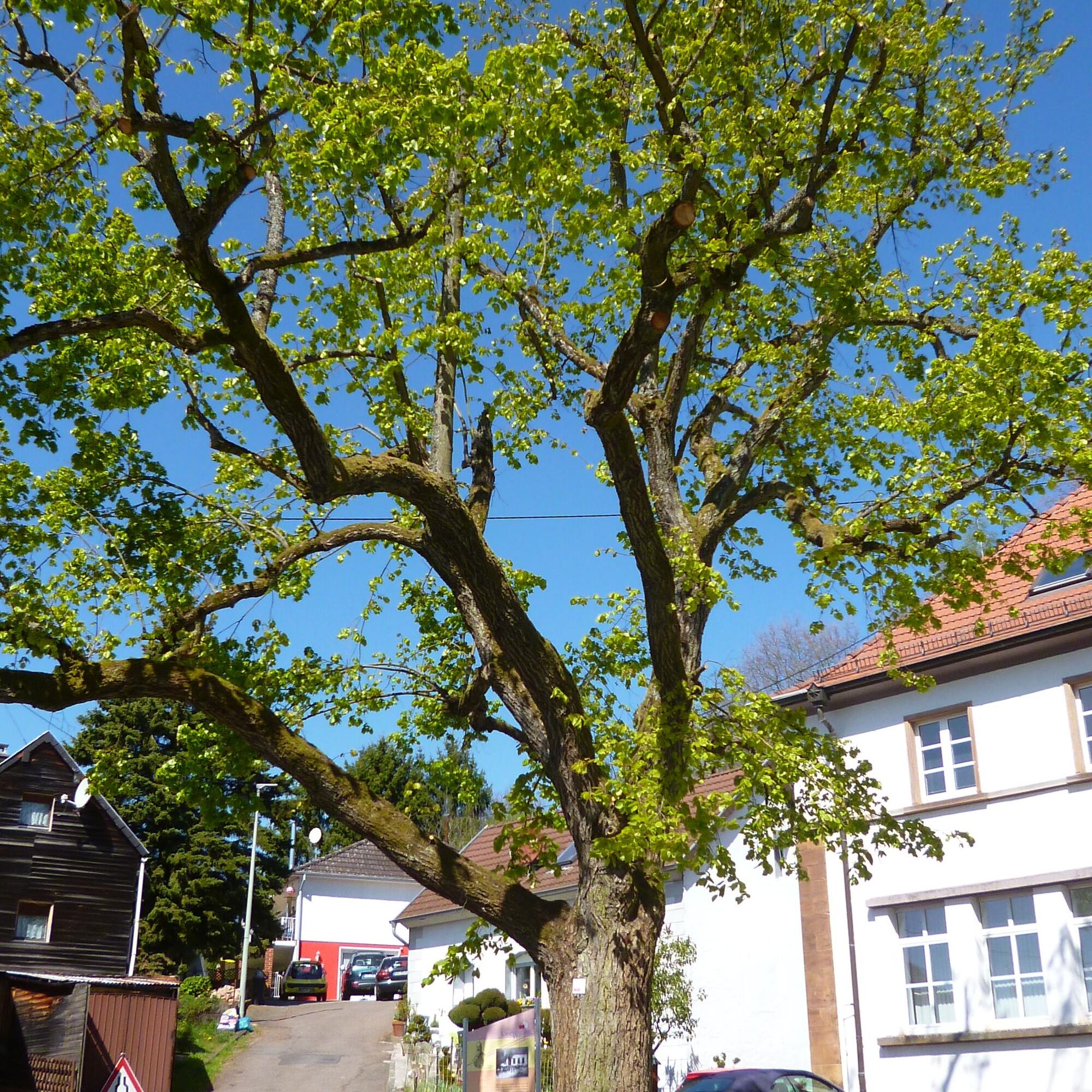
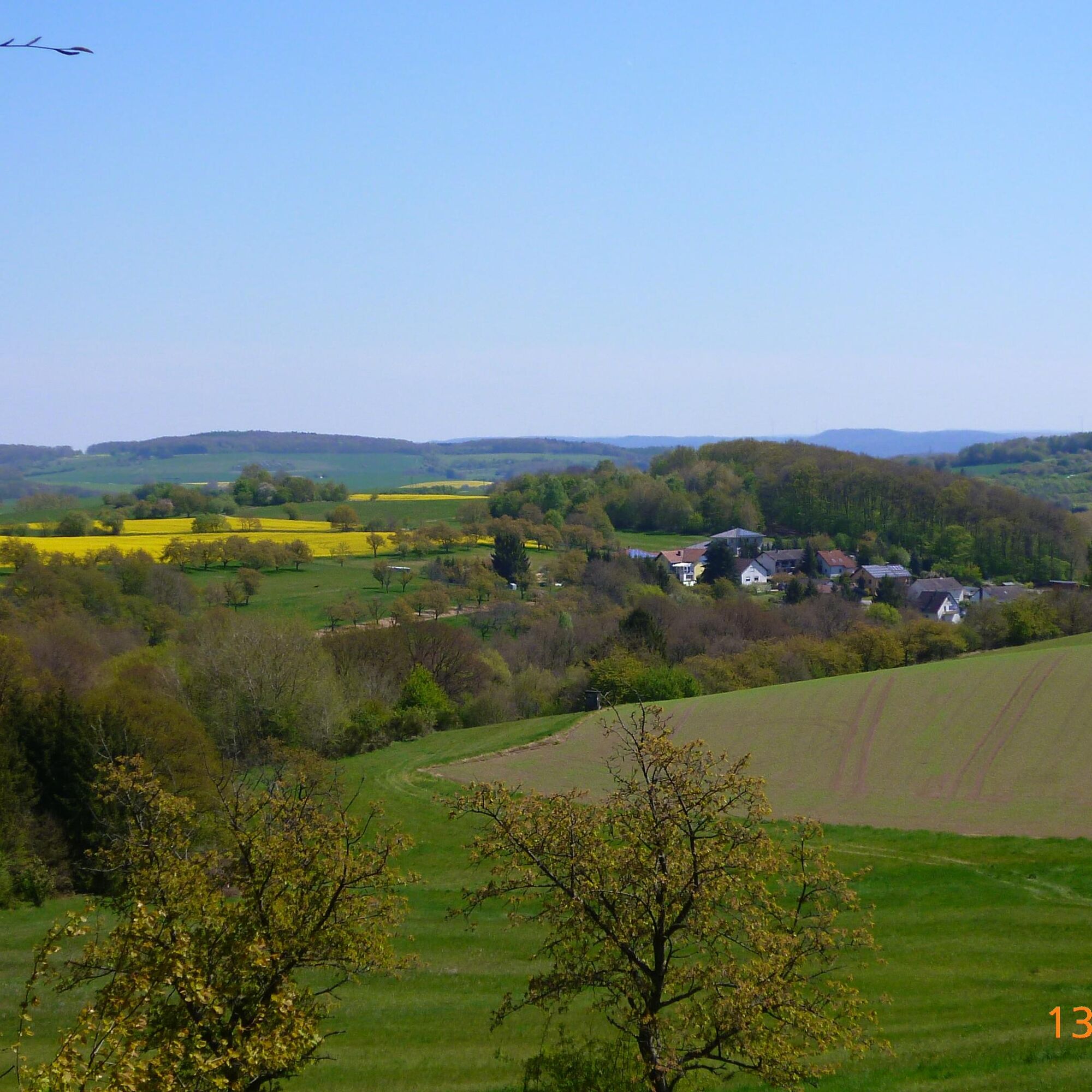
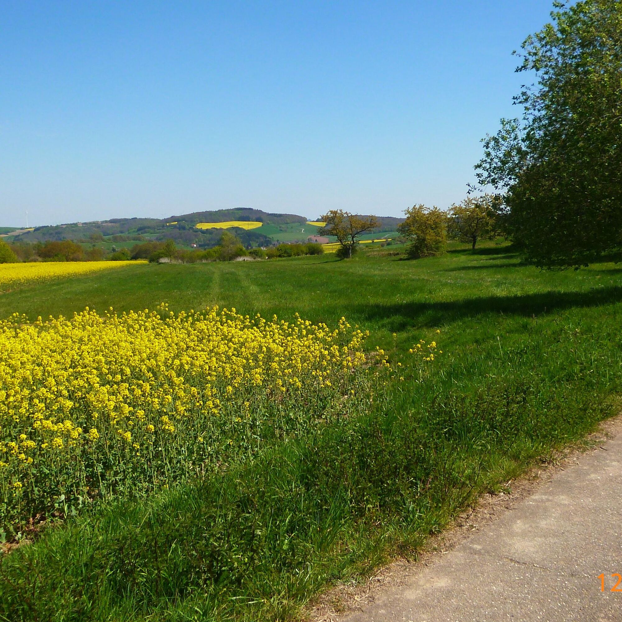
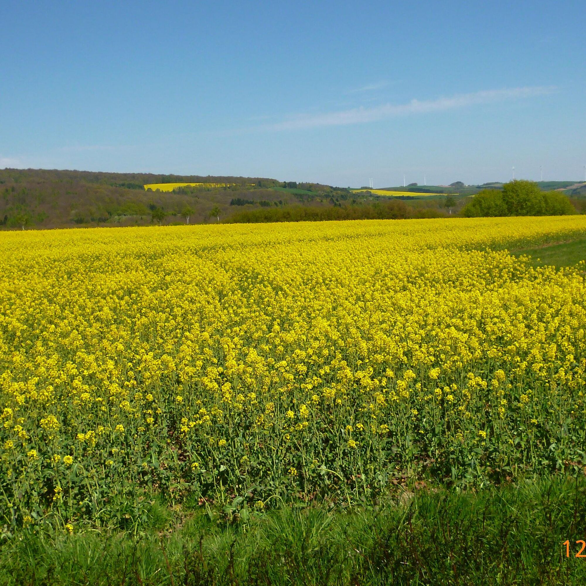
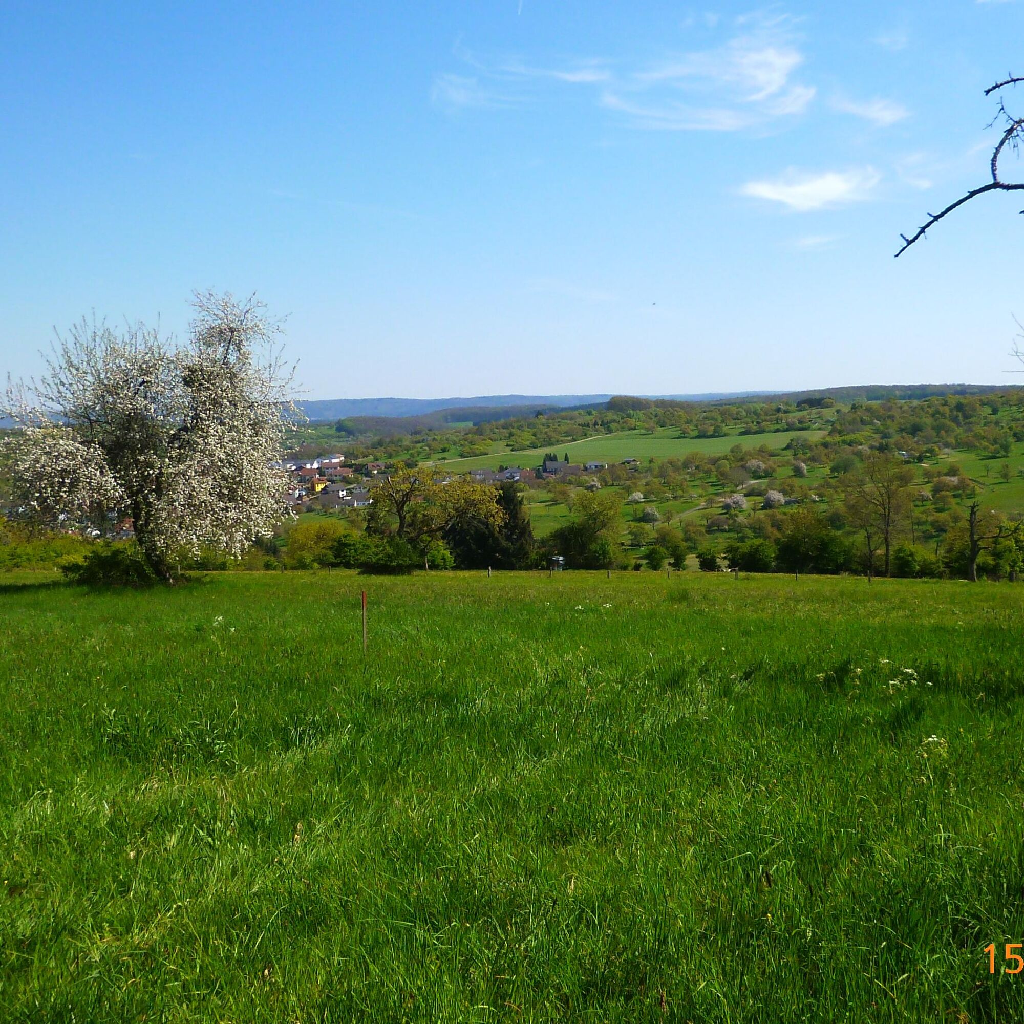
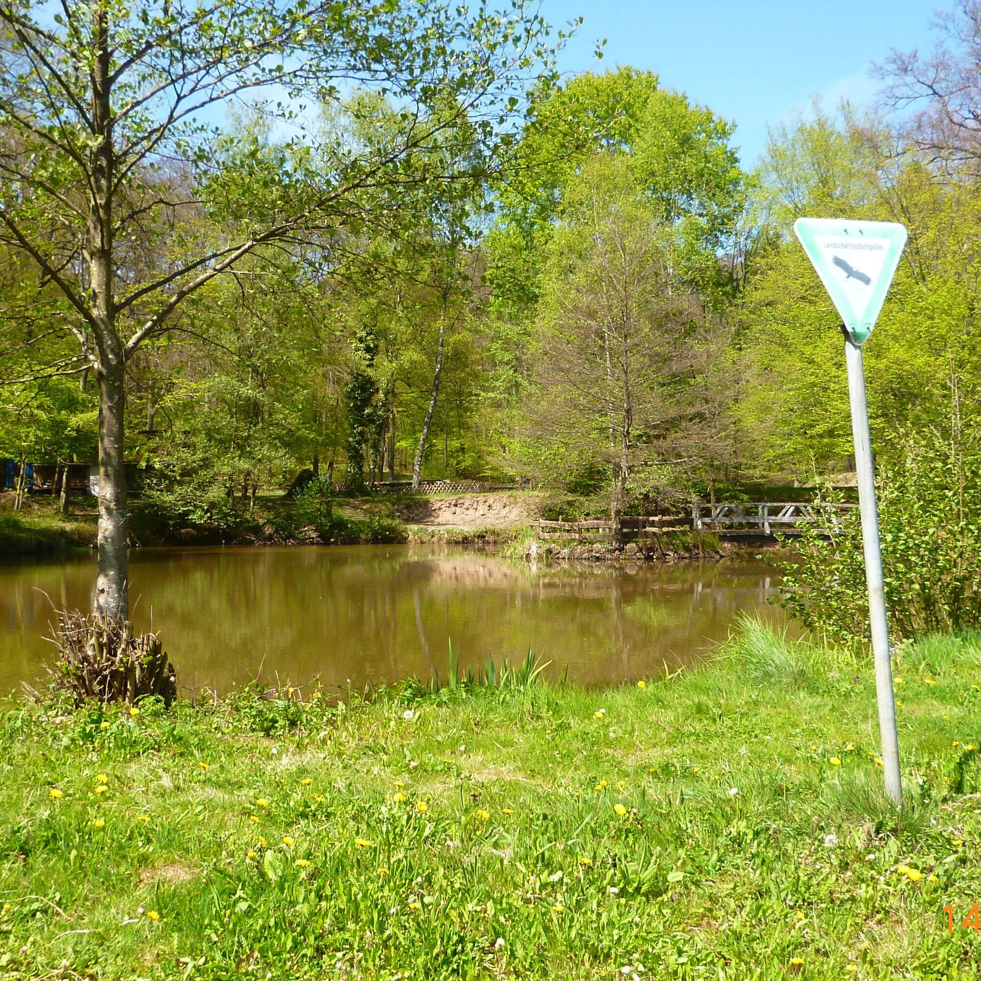

The path is marked with the cherry logo (red).
Altenkirchen (local history museum, former town hall) - Breitenbacher Street - Bergstraße - Am Schächel - Source - Dittweiler (Dunzweiler Street) - Roman Street - Dunzweiler Street - Stammhof Street - St Wendeler Street - School Street - Wartturm - Castle Hill - Wilgenhof - L 352 - Lindenhof - K 11 - Palatinate Forest Association Hut "Am Entenweiher" - Frohnhofen (Hunsgasse) - Breitenbacher Street - Binder Street (L 354) - Altenkirchen (Ludwig Street) - In the Spitzgarten - Altenkirchen (local history museum, former town hall)
Áno
For our hiking routes, we recommend the following standard equipment:
- Sturdy footwear
- Weather-appropriate clothing
- Sun and rain protection
- Sufficient supply of food and drinks, as refreshment or shopping opportunities are not available or open everywhere.
- Although the paths are consistently very well marked, it is advised for safety reasons to always carry a suitable
hiking map so that, for example, in case of a thunderstorm or emergency you can quickly find a safe area.
- Trekking poles recommended.
Prepare packed meals from Monday to Friday.
General information:
Especially in autumn, care should be taken that fallen leaves on the ground can conceal unevenness, roots, stones or holes in the path. After thunderstorms or heavy rain, trees may still fall or branches fall down afterward. Especially under adverse weather conditions, natural paths can have muddy and slippery sections. Not all rocks or cliffs are secured with ropes or railings. Surefootedness is required in some places. You must expect impairments of this kind when hiking. If you believe certain path sections are not passable for you, then you should avoid them.
NOTE:
We strive to announce all closures due to forestry work or hunting parties on this platform. Nevertheless, there are situations where hiking trails are closed and we may not have been informed. If you unexpectedly encounter a path closure or detour, please observe the notices for your own safety.
From the B 423 in Schönenberg-Kübelberg the L 355 branches off towards St. Wendel. Along the L 355 are the communities of Dittweiler, Altenkirchen, and Frohnhofen.
Main station Homburg/Saar;
BUS 280 to Schönenberg-Kübelberg;
BUS 288 to Altenkirchen/Palatinate or call line taxi 0621 10 77 077 - please pre-order! (Line ALT 2988);
66903 Frohnhofen - Parking lot at the community center/Roman pond, Schmittweilerstraße:
Coordinates: Longitude 7° 20´ 16´´ / Latitude 49° 25´ 35´´
66903 Altenkirchen - Parking lot behind the former town hall (local history museum), Friedhofstraße:
Coordinates: Longitude 7° 19´ 13´´ / Latitude 49° 26´ 35´´
66903 Frohnhofen - Parking lot at the recreational facility Entenweiher, Palatinate Forest Hut "Am Entenweiher
Coordinates: Longitude 7° 17´ 25´´ / Latitude 49° 27´ 27´´
Municipality of Oberes Glantal
Rathausstraße 8, 66901 Schönenberg-Kübelberg
Tel.: 06373/504-0
Refreshment options:
Inn "Zur frischen Quelle", Dittweiler
Inn zur Linde, Altenkirchen
Hut at the Entenweiher, Frohnhofen
Between April and May about 30,000 cherry trees bloom in the Kohlbachtal - a fascinating spectacle you must not miss!
Obľúbené výlety v okolí
-
Bruchmühlbach-Miesau - Sagenhafter Waldpfad
strednáTuristika 17,8 km -
5,0
Börsborn - Muhleichenweg
strednáTuristika 11,3 km -
4,0
Börsborn - Von-der-Leyen-Weg
strednáTematická trasa 12,2 km -
4,0
Fritz-Wunderlich Cycle Path
strednáCyklistika 26,1 km -
Wingertsweiher Ottweiler
svetloTuristika 8,82 km -
Kusel - Preußensteig
ťažkéTuristika 25,6 km -
5,0
Wells Path
strednáTuristika 14,7 km -
Waldmohr - Circular route loading ramp
svetloTuristika 6,40 km -
4,0
Glan-Blies Cycle Route
svetloCyklistika 127,1 km -
4,0
Steinberg Runde
strednáTuristika 4,71 km
Turistika a stopovanie


Nenechajte si ujsť ponuky a inšpiráciu na ďalšiu dovolenku
Vaša e-mailová adresa bol pridaný do poštového zoznamu.





