


Fritz-Wunderlich Cycle Path
Úroveň náročnosti: 2
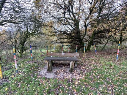
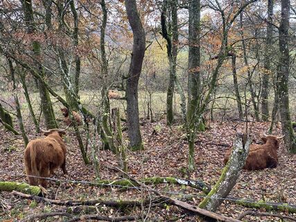
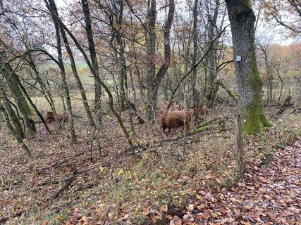
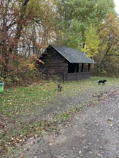
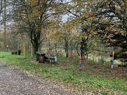
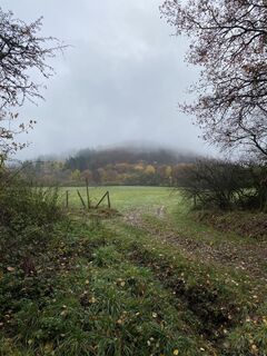
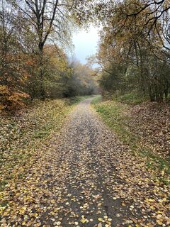
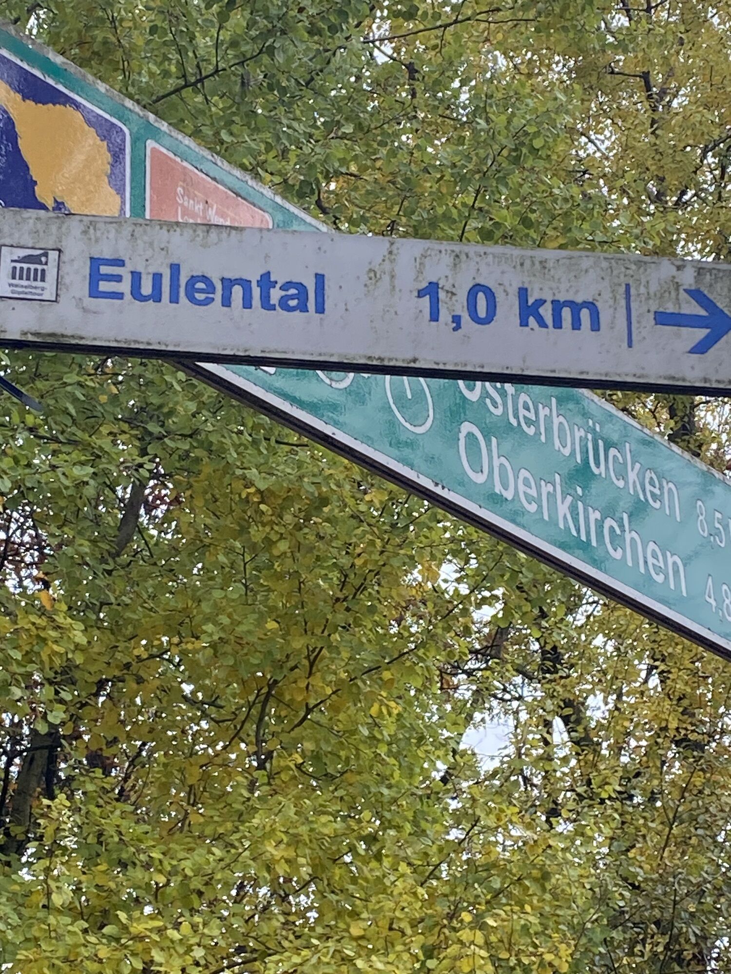
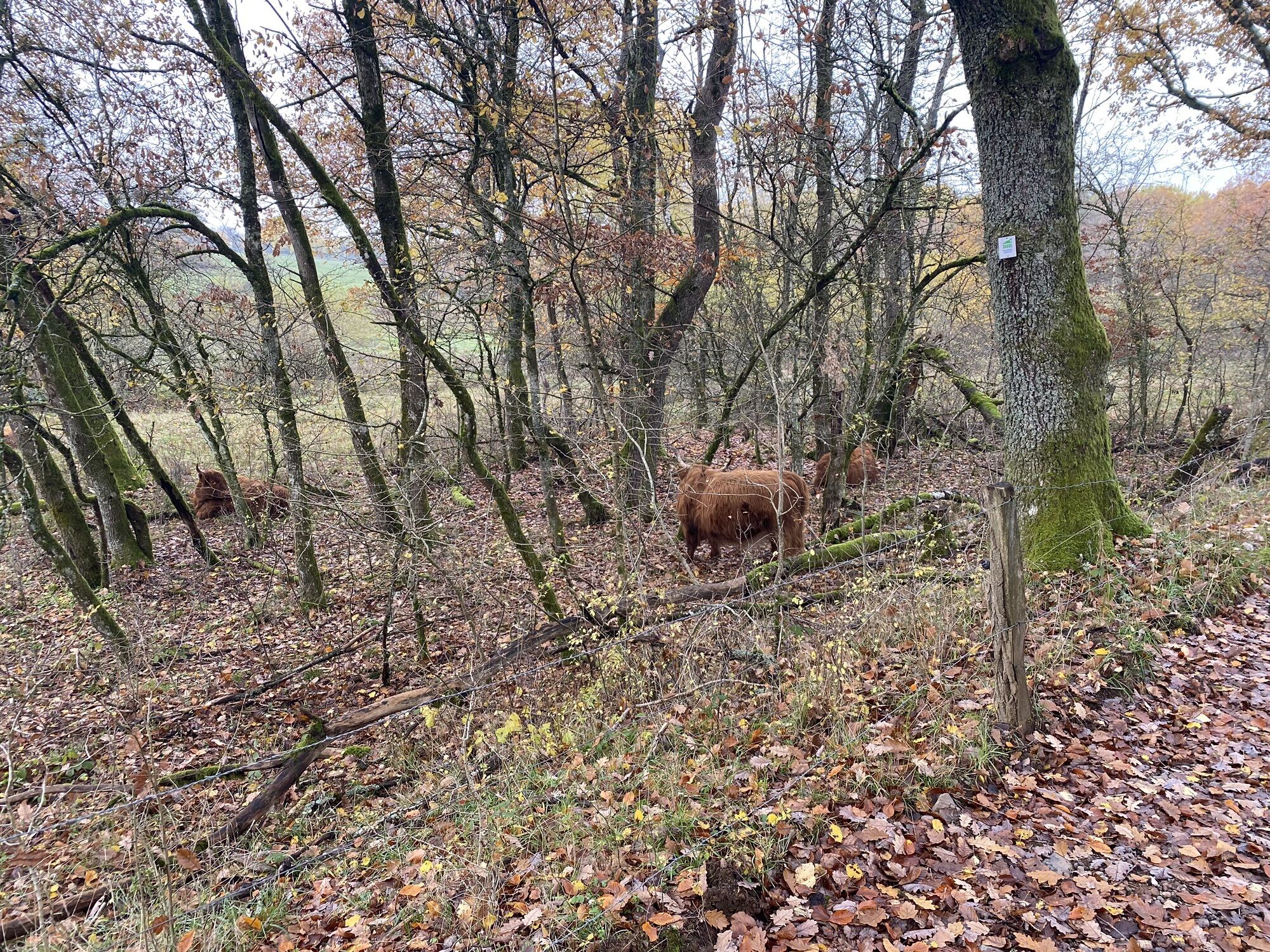
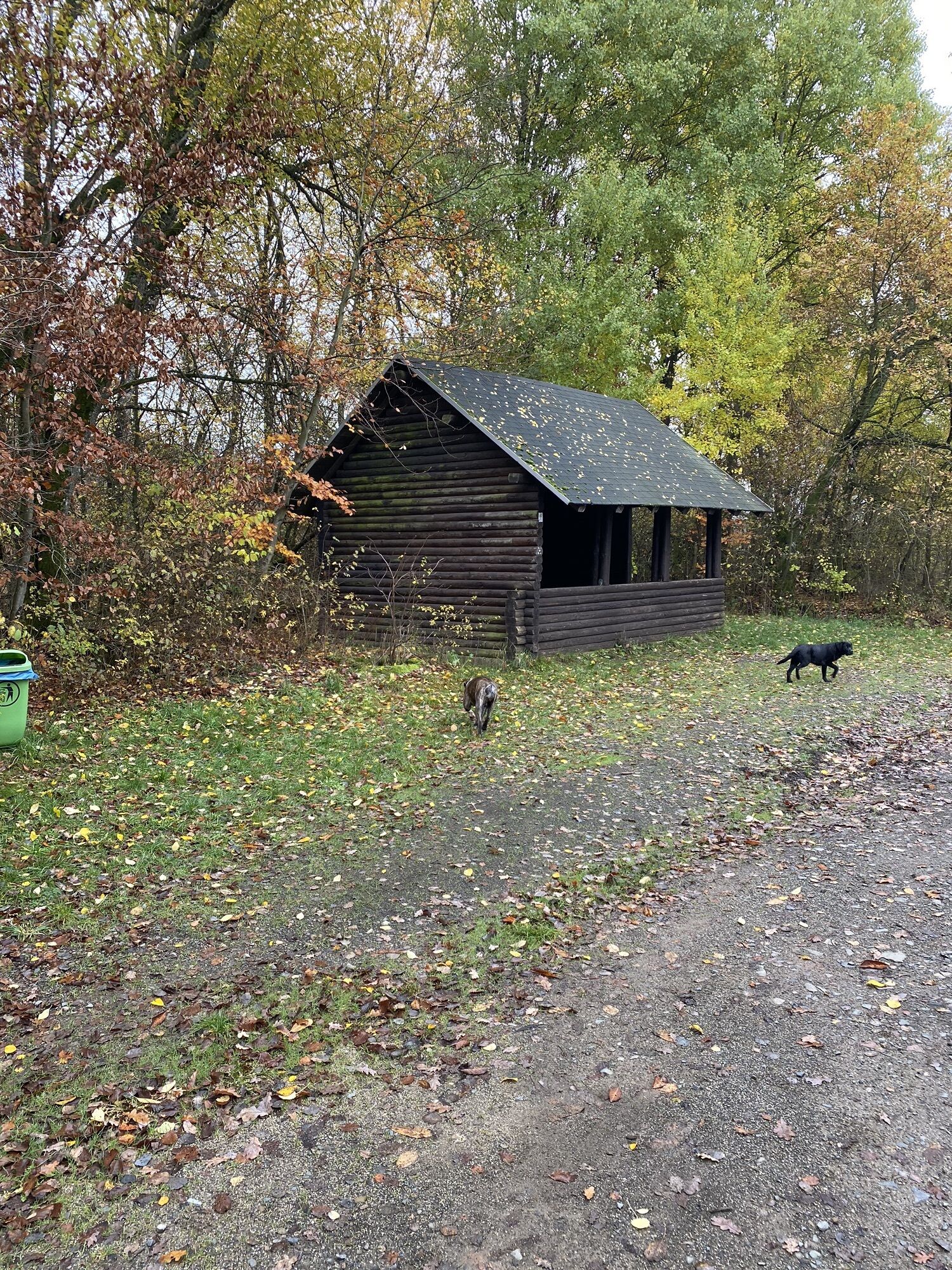
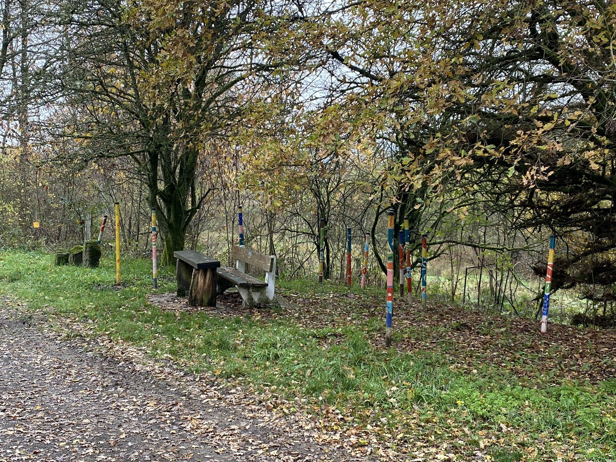
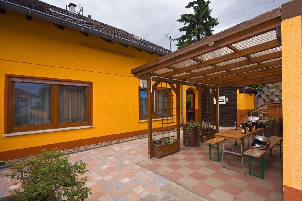
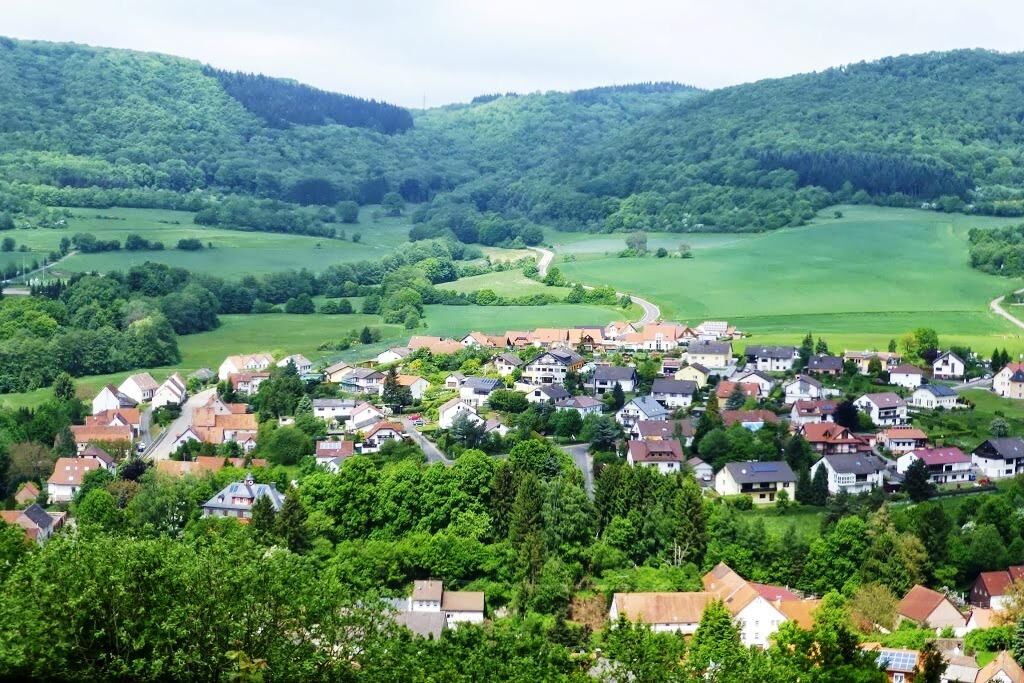
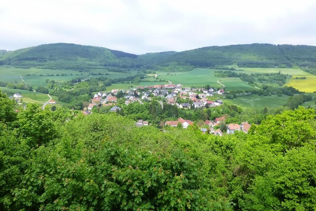
Fotografie našich používateľov
-
 © Ingo KranzVytvorené dňa 27.11.2022
 -
 © Ingo KranzVytvorené dňa 27.11.2022
 -
 © Ingo KranzVytvorené dňa 27.11.2022
 -
 © Ingo KranzVytvorené dňa 27.11.2022
 -
 © Ingo KranzVytvorené dňa 27.11.2022
 -
 © Ingo KranzVytvorené dňa 27.11.2022
 -
 © Ingo KranzVytvorené dňa 27.11.2022
 -
 © Ingo KranzVytvorené dňa 27.11.2022


The 26 km long Fritz-Wunderlich Path starts at Altenglan station. Via Rammelsbach, it reaches the district town Kusel and is routed there on a former railway track that runs into Freisen in Saarland. Gently...
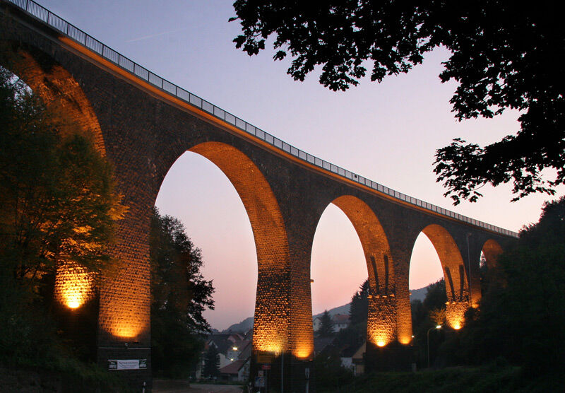
The 26 km long Fritz-Wunderlich Path starts at Altenglan station. Via Rammelsbach, it reaches the district town Kusel and is routed there on a former railway track that runs into Freisen in Saarland. Gently rising, from Kusel away from any roads, the Fritz-Wunderlich Path opens up the northern Palatinate Uplands. Lichtenberg Castle can be reached via the route "Around Lichtenberg Castle" with moderate inclines or in Thallichtenberg with a steep incline via the country road. There, the Rhineland-Palatinate cycle route towards Baumholder and the Castle Cycle Route also branch off. Many bridge structures and a tunnel shape the route; a special highlight is the valley bridge in Oberkirchen, which impressively spans the village and valley. Another special feature of the cycle path is that between Kusel and Pfeffelbach there are no crossings with other traffic routes - especially for families, the Fritz-Wunderlich Path scores with high safety and a great natural experience.
UFFBASSE! - campaign for considerate coexistence in nature
- Always behave predictively, friendly, and considerately towards everyone you meet on the way.
- Respect nature, do not destroy plants and always stay on the paths.
- Remember a rubbish bag for on the way and take waste back home with you.
- Please always keep your dog on a leash. Other visitors and animals will thank you.
- For your own safety, observe all path closures, also on weekends.
- Only park in designated parking spaces. Leave room for emergency routes and agricultural machines.
- Please give priority to agricultural and forestry traffic.

Requirement: Like all cycle paths on railway tracks, the Fritz-Wunderlich Cycle Path has no significant inclines, although the entire route rises gently towards Freisen. The path is suitable for everyone, and due to its particularly safe design, it is also suitable for families with children (between the town limits of Kusel and the railway route end before Freisen there are no crossings with road traffic!).
Route Character:
Route Guidance:
24 km of cycle paths mostly on former railway track 2 km of urban streets without cycle paths No routing on rural roadsSurface Qualities:
17.5 km of water-bound surfaces 10.5 km of asphalt surfacesThe route in the cycle network: The Fritz-Wunderlich Cycle Path connects the Saarland cycle network in the Ostertal with continuation to the Nahe and the cycle network of the Glan region.
Source and further information: www.radwanderland.de
Áno
For our bike tours we recommend the following equipment as standard:
- Wearing a helmet
- Weather-appropriate clothing
- Sun and rain protection
- Sufficient supply of food and drinks, as not everywhere there are catering or shopping facilities available or open.
- Even though the paths are very well marked throughout, it is advisable for safety reasons to always carry a suitable
cycling map, so that in cases like thunderstorms or emergencies you can quickly find a safe area.
General rules:
Especially in autumn, attention must be paid that leaves lying on the ground can cover unevenness, roots, stones, or holes in the way. After thunderstorms or heavy rain, trees can still fall or branches can break off. Especially under adverse weather conditions, natural paths may have muddy and slippery sections. You should expect such path impairments when undertaking a bike tour. If you believe certain sections are not passable for you, you should detour around them.
NOTE:
We strive to announce all closures due to forestry work or hunting societies on this platform. Nevertheless, there are situations where cycle paths are closed and we might not have been informed. If you unexpectedly encounter a path closure or detour, please observe the instructions for your own safety.
The road traffic regulations must be observed!
The route logo shows the happily waving Kusel cyclist and a large red note symbolizing the connection to the Kusel tenor Fritz Wunderlich. In Saarland, the path is marked with a black note.
A62 - Kusel exit
B420 - towards Altenglan
Altenglan and Kusel: Kusel - Landstuhl - Kaiserslautern railway line, bike transport is free on weekdays from 9:00 am and all day on weekends and holidays
Parking spaces are plentiful at the Altenglan station and the Kusel station
Additional parking spaces at the AOK in Kusel (start of the railway line) and the local municipalities along the route
2
Municipal Association Kusel-Altenglan (Tourism)
Marktplatz 1, 66869 Kusel
Tel.: 06381 / 6080123
Internet: https://vg-kusel-altenglan.de/vg/tourismus/
Email:
Suggestions, observations, or complaints? Contact us by email: radwege@lbm.rlp.de www.radwanderland.de (responsible for infrastructure and path description).
NEW!! NEW!! NEW!!
"Rhineland-Palatinate - Old Railway Tracks. Cycling for the Soul"
- we are also represented with the Glan-Blies Cycle Path and the Fritz-Wunderlich Cycle Path in the book -
by Ernst Wrba
192 pages, brochure with flaps
16.99 € incl. VAT.
Even if it involves inclines - the detour to Lichtenberg Castle is definitely recommended!
Obľúbené výlety v okolí
-
5,0
Börsborn - Muhleichenweg
strednáTuristika 11,3 km -
5,0
Glan-Blies cycle path | Waldmohr - Staudernheim
strednáDiaľková cyklotrasa 74,9 km -
4,0
Börsborn - Von-der-Leyen-Weg
strednáTematická trasa 12,2 km -
3,0
Bridges - Dream Tour Diamond
ťažkéTuristika 15,2 km -
Kusel - Preußensteig
ťažkéTuristika 25,6 km -
Breitenbach - Panorama route
strednáTematická trasa 11,7 km -
Altenkirchen - Cherry Land Path (circular route - 22.6 km)
strednáTematická trasa 22,5 km -
Blaubach - Aussichtsreich zur Burg Lichtenberg
strednáTuristika 12,2 km -
Henschtal - Eichhörnchenweg im Hodenbachtal
strednáTuristika 8,18 km -
Glan-Blies-Radweg | Familientour »Störche,Kirchen & Draisinen«
svetloCyklistika 32,4 km

Turistika a stopovanie


Nenechajte si ujsť ponuky a inšpiráciu na ďalšiu dovolenku
Vaša e-mailová adresa bol pridaný do poštového zoznamu.