


Glan-Blies cycle path | Waldmohr - Staudernheim
Úroveň náročnosti: 3
Palatinate stage 1: Waldmohr – Altenglan (approx. 30km)
From Waldmohr it continues on the former Glantalbahn.
Alternative route 1: Ohmbachsee and to the Diamond Polishing Museum in Brücken/Palatinate.
Palatinate...
Palatinate stage 1: Waldmohr – Altenglan (approx. 30km)
From Waldmohr it continues on the former Glantalbahn.
Alternative route 1: Ohmbachsee and to the Diamond Polishing Museum in Brücken/Palatinate.
Palatinate stage 2: Altenglan – Staudernheim (approx. 40km)
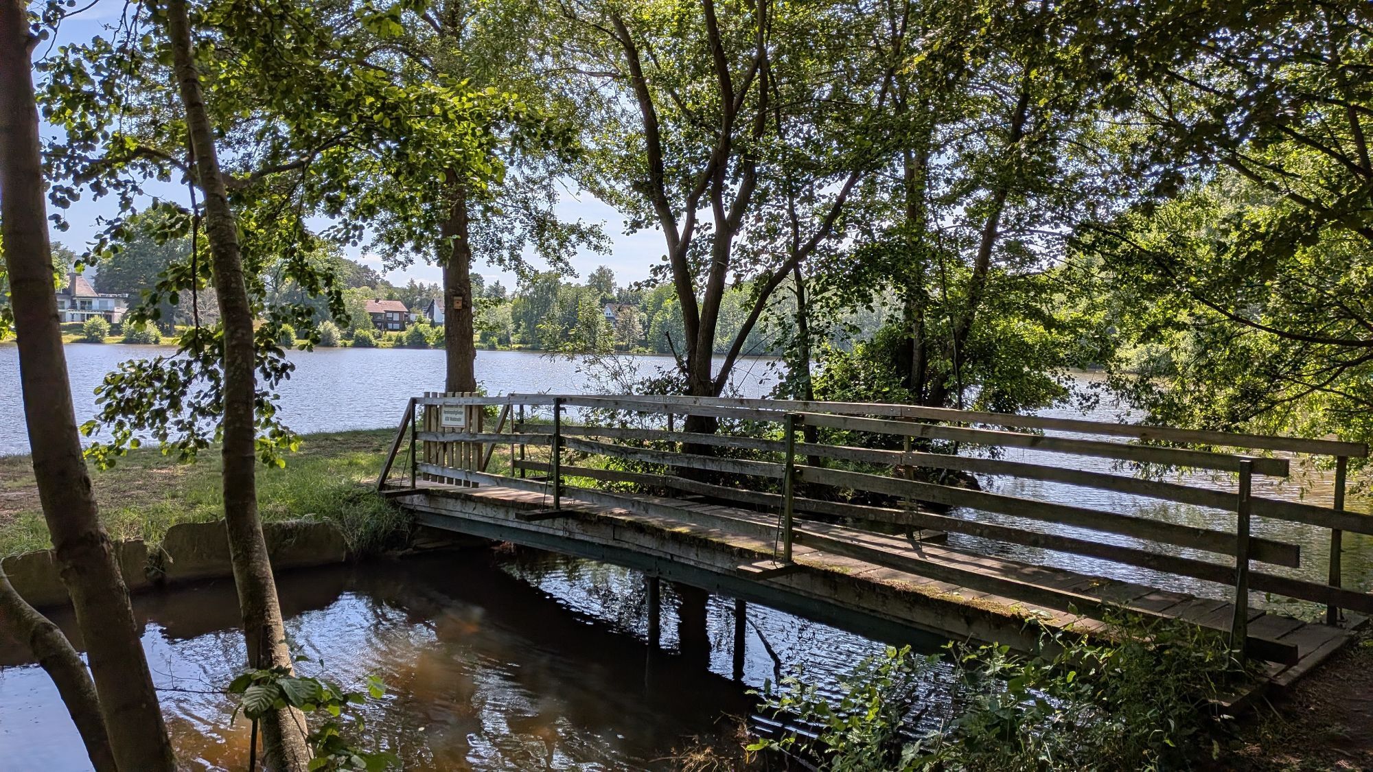
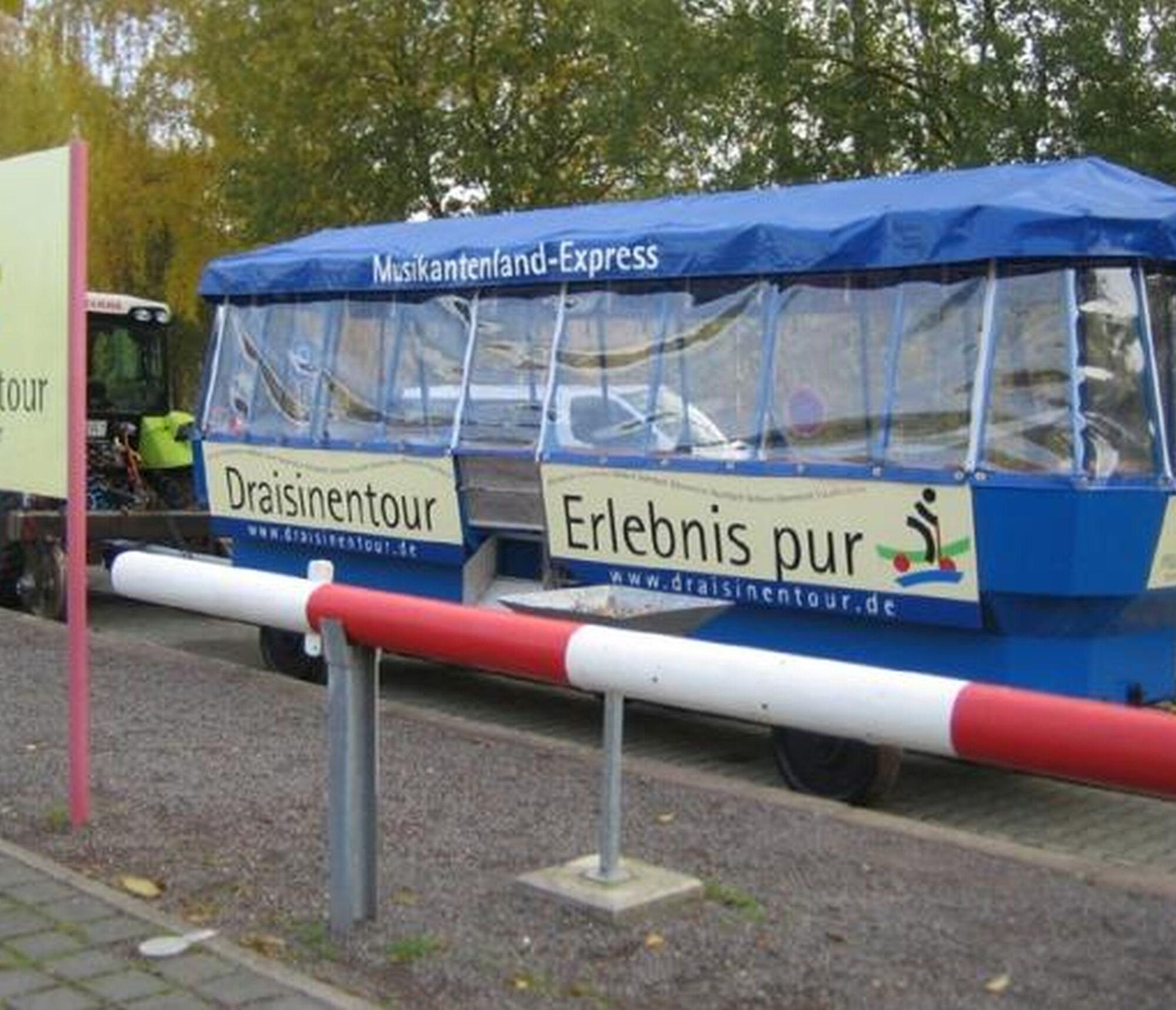
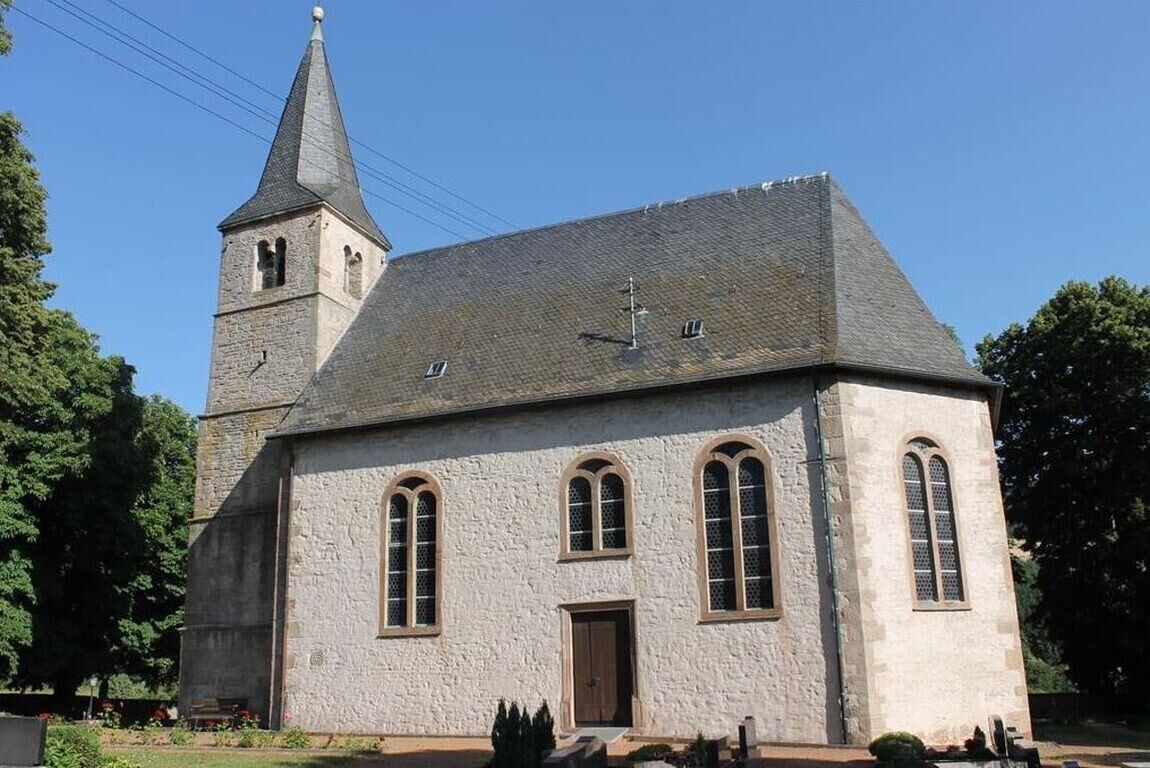
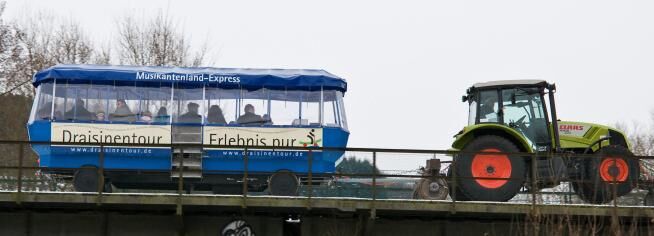
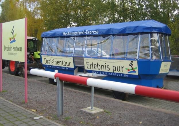
Cycle path runs largely parallel to the draisine railway. Wonderful landscape and small gems; Alternative route 2: Past the Hirsauer chapel.
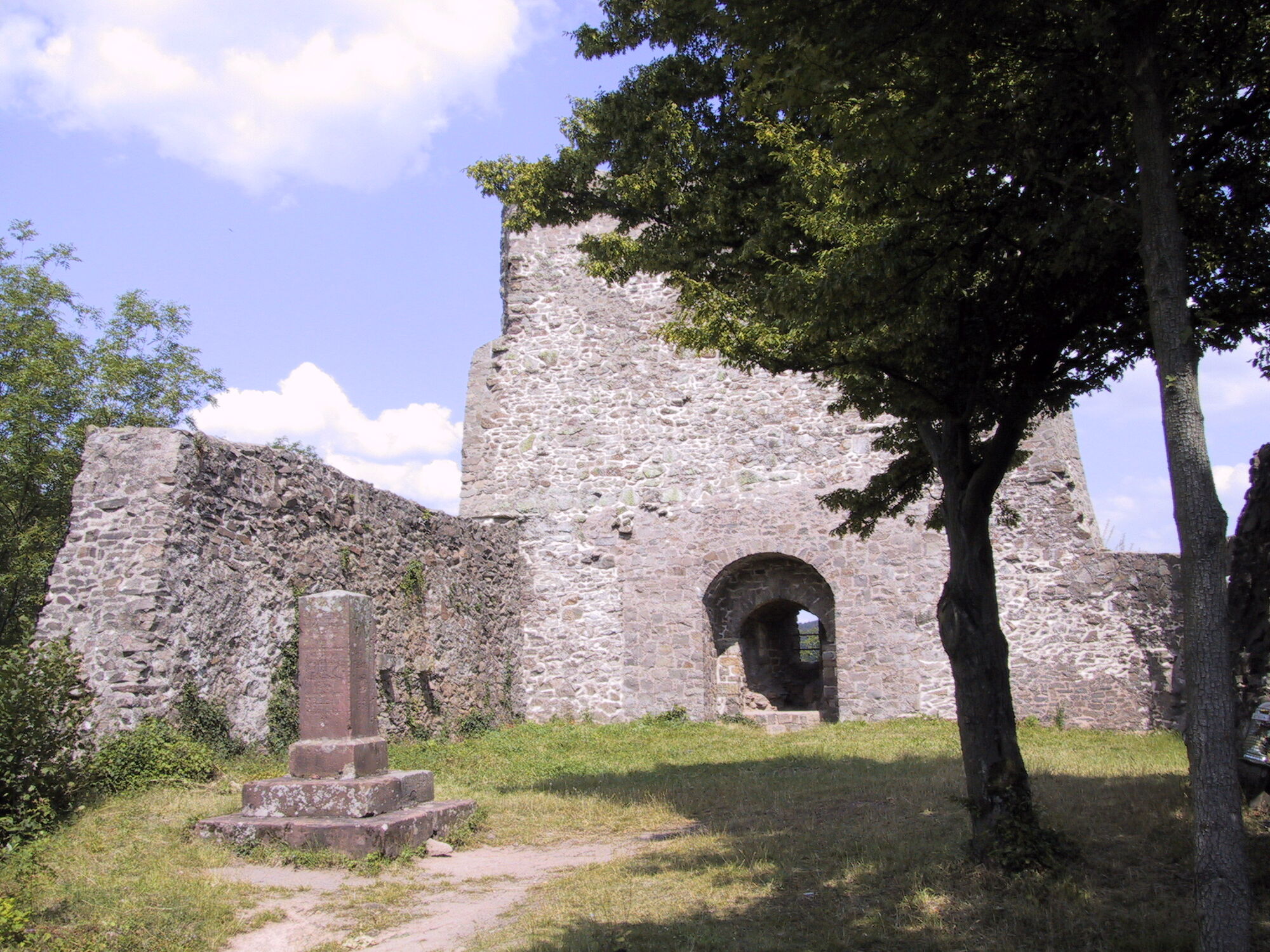
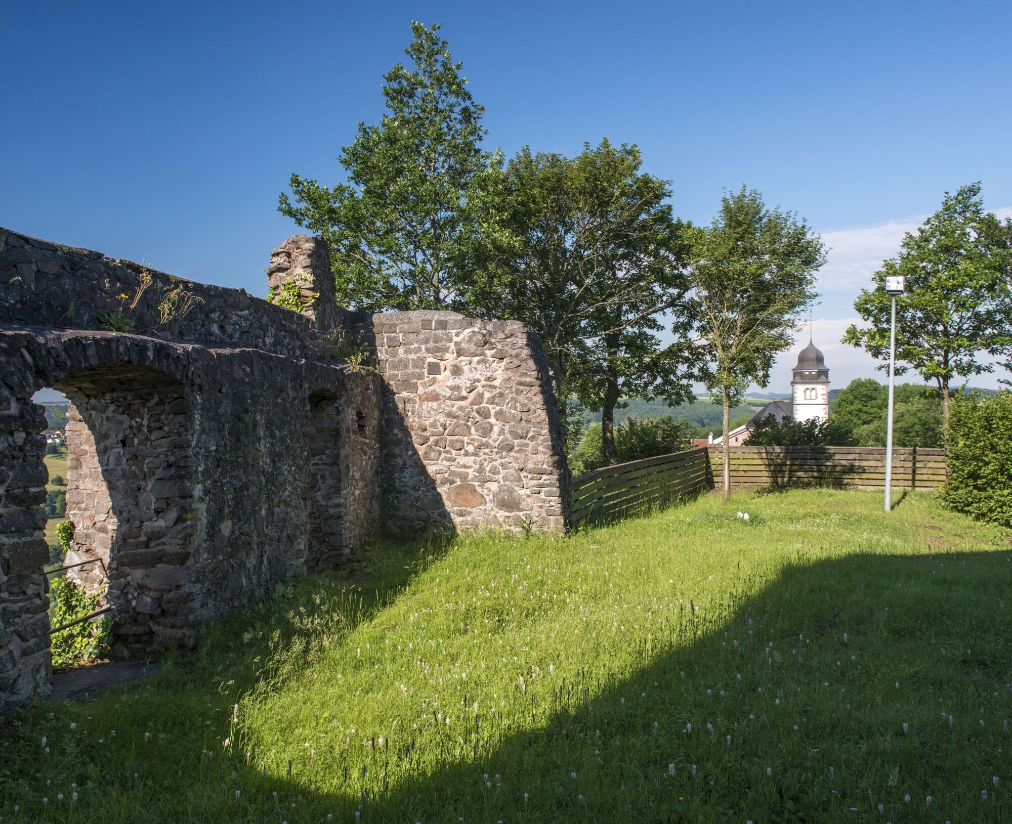
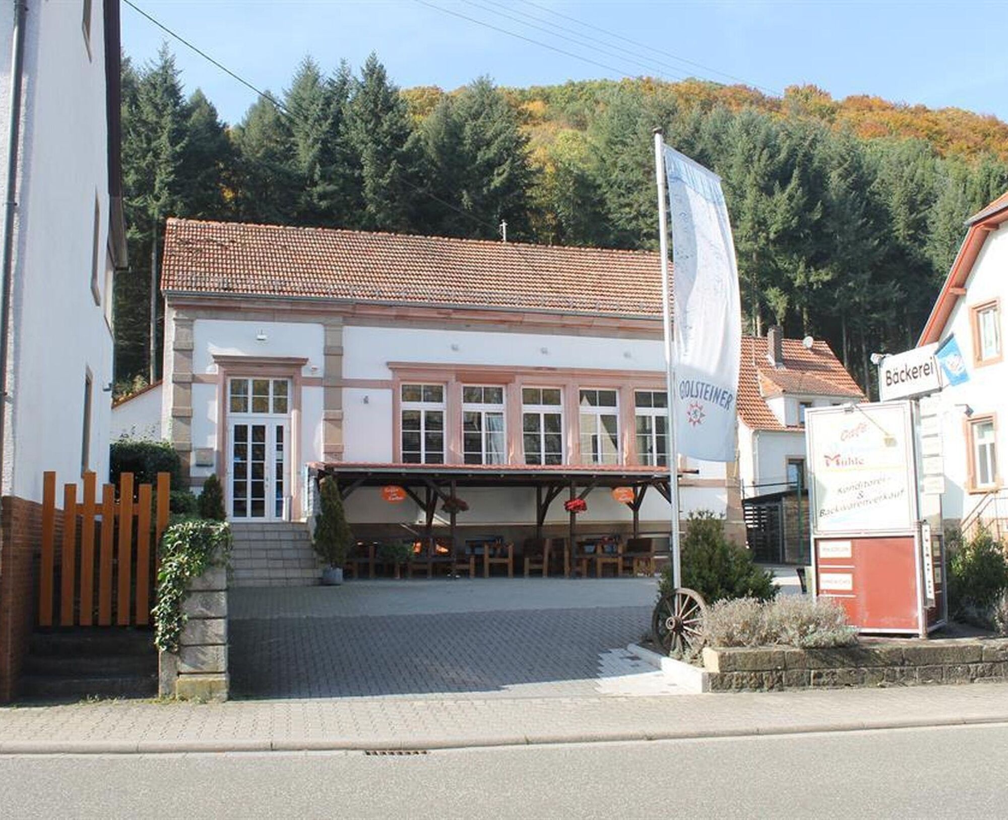
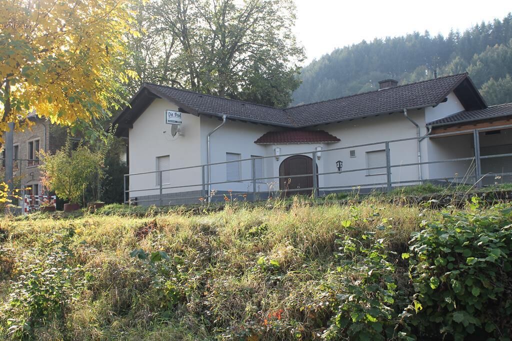
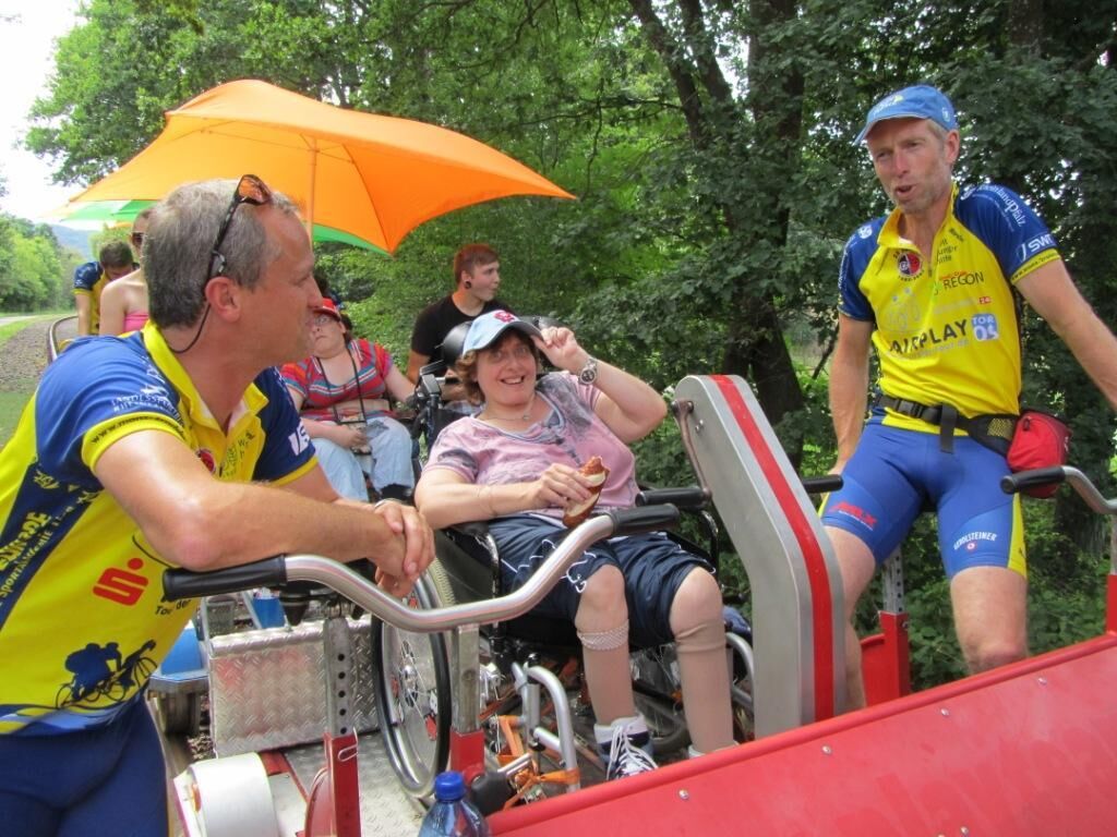
At the Lauterecken station there is bustle – transfer to the draisine (only with reservation), change to the Lautertal cycle path or a cool refreshment? The cycle path follows the Glan through the fields, capturing magical moods. The next station is Meisenheim: the historic old town is worth a small detour. At the Disibodenberg, where Hildegard of Bingen lived and worked, the Nahe estuary is already in sight. At the rental station of the draisine railway in Staudernheim, the Glan-Blies cycle path merges into the Nahe cycle path.


Requirement: Without long ascents, only some short climbs, and on dedicated paths, therefore suitable as an easy and safe cycle route for everyone.
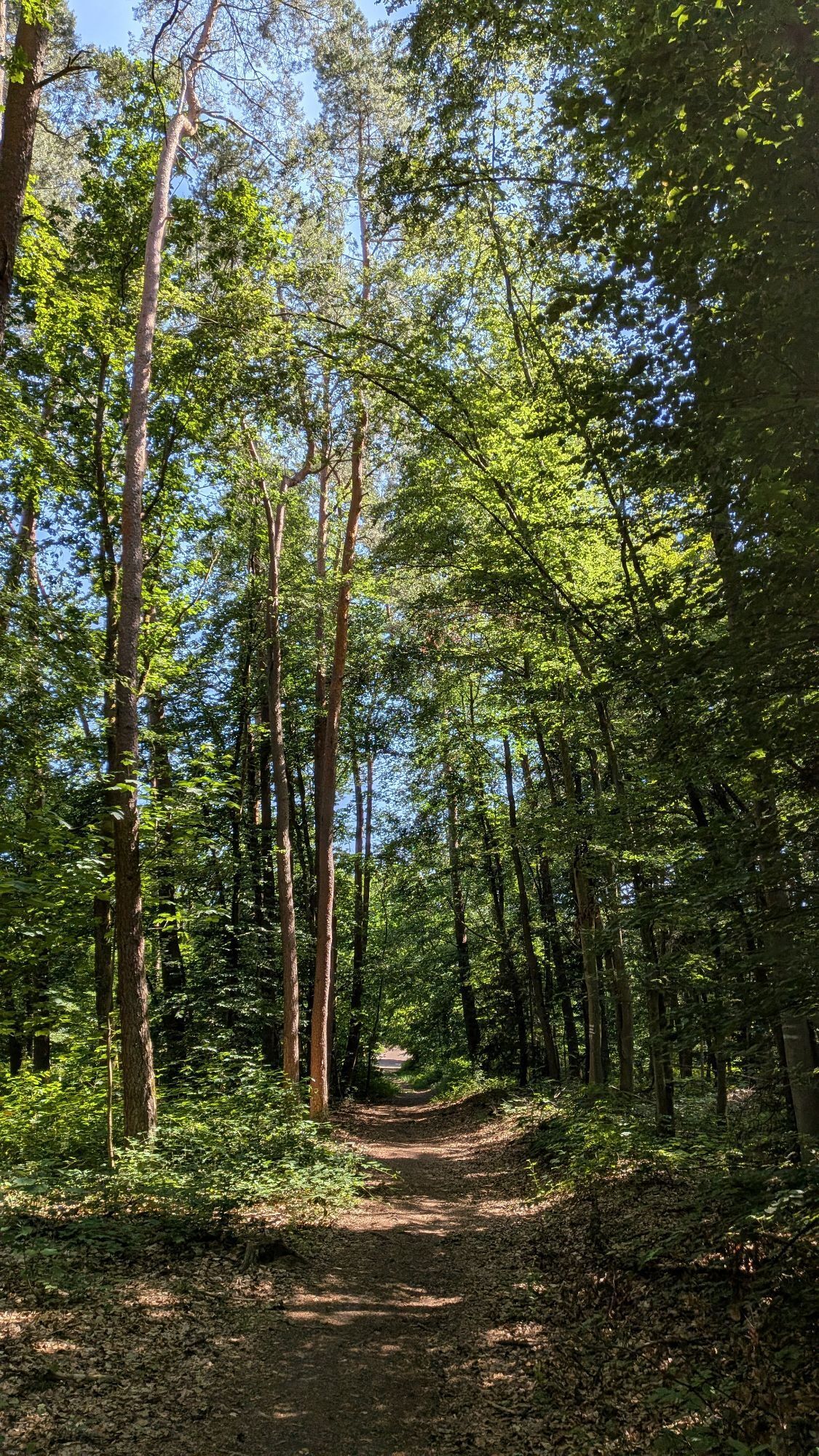
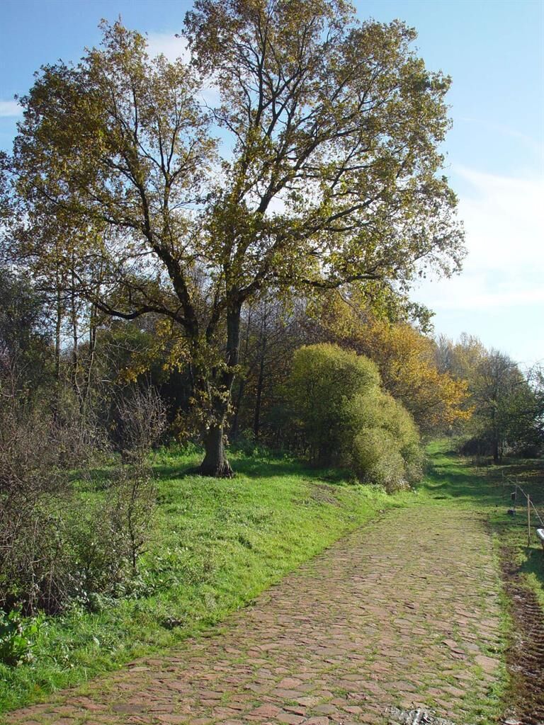
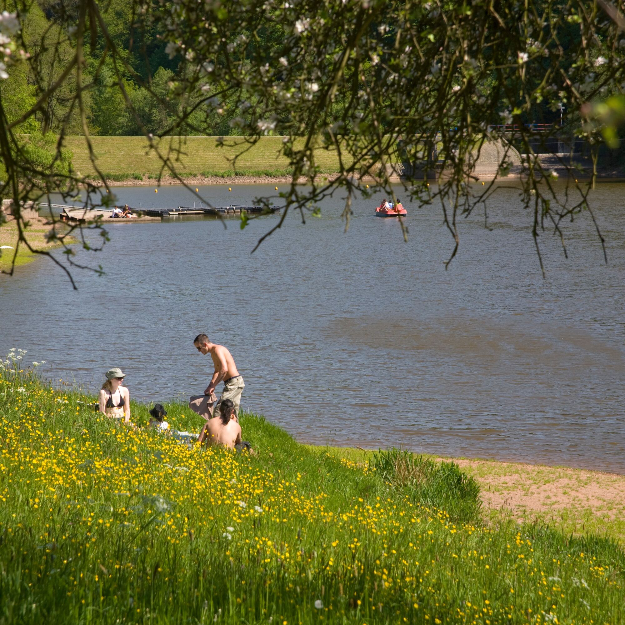
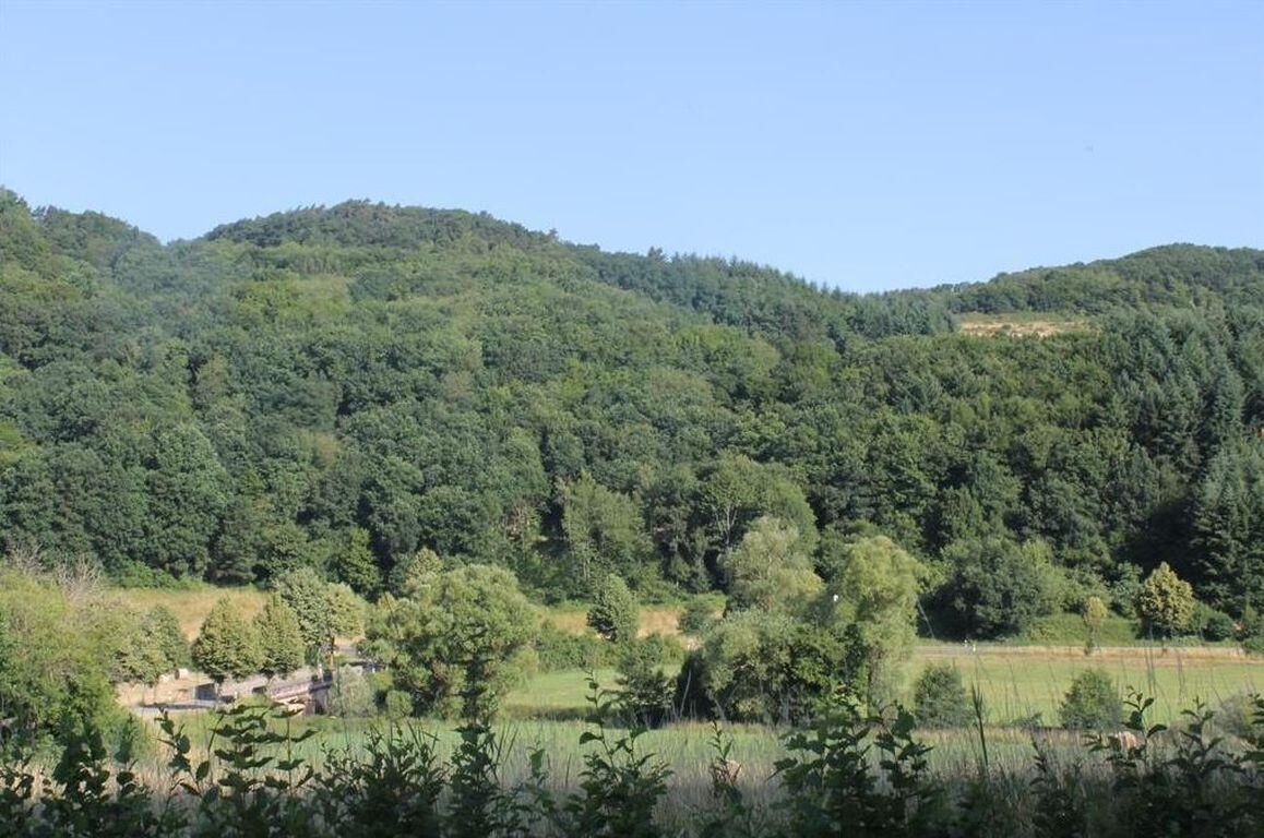
Route character: Lots of nature, wide landscapes, and far from the hustle and bustle of hectic life.
Routing in Rhineland-Palatinate:
63 km of forest, agricultural, and cycle paths 7.5 km urban areas without cycle paths 1.5 km rural areas without cycle pathsSurface qualities in Rhineland-Palatinate:
54.5 km asphalt surfaces 17.5 km water-bound, fine surfacesUse of railway lines:
Routing on longer sections on tracks of former railway lines from just after the state border to before Glan-Münchweiler, with interruptions between Ulmet and Staudernheim. In Saarland, mostly on the track of the former Bliestal railway Homburg - Reinheim, also several kilometers in France on this railway track.Route overview:
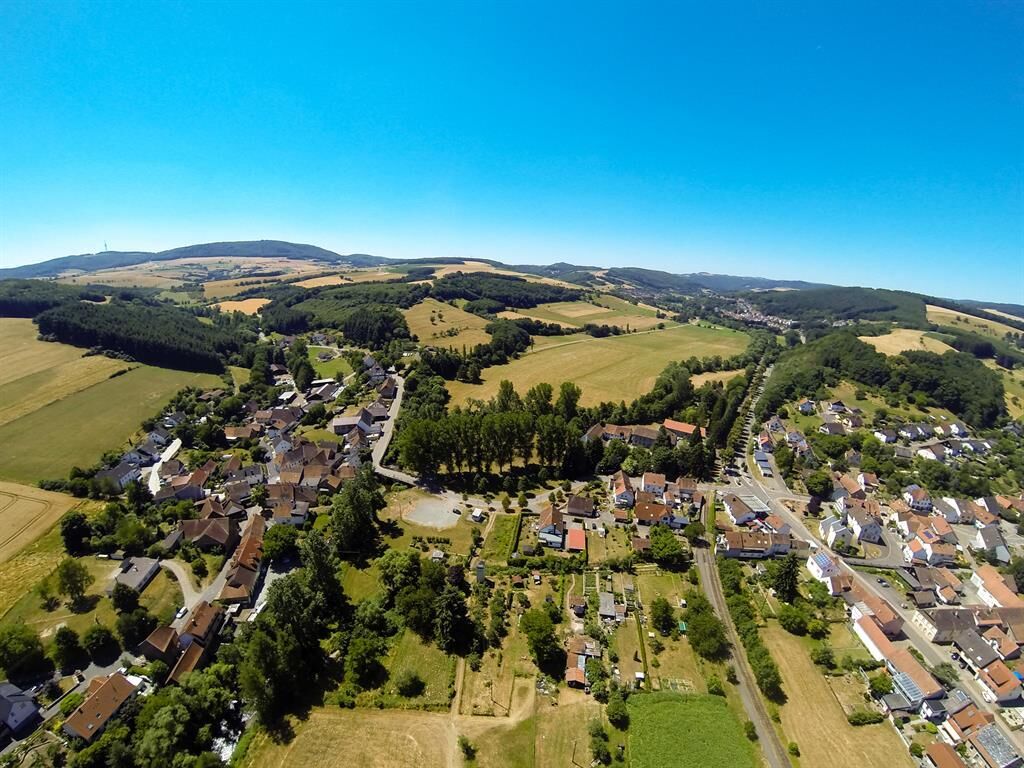
France and Saarland: In the valley of the Blies (55 km) Waldmoor - Ulmet: In the narrow valley of the young Glan (34 km): In its upper course, the young Glan has little space and is squeezed into the western hilly landscape. The Glan-Blies cycle path first uses the gentle gradient track of a former railway line to Glan-Münchweiler and then alternates over a mix of agricultural roads, streets, and cycle paths past Altenglan to Ulmet. Ulmet - Staudernheim: In the wide Glan valley (38 km): In the second half, the Glan valley widens significantly and the cycle path leads through a lovely, gently embedded meadow landscape. From Altenglan via Lauterecken to Staudernheim, it is accompanied by the draisine route, and most of the time the cycle path and draisine share the formerly double-track railway. Towards the end, Meisenheim with its pretty old town core invites a detour from the railway track cycle path. Shortly before the end of the Glan-Blies cycle path at the access to Disibodenberg, in the triangle of the confluence of the Nahe and Glan, the trip must be interrupted for a view over the whole land from the historic monastery ruins.The route in the cycle path network: The Glan-Blies cycle path connects in the southwest to the Saarland network and continues north into the Nahe cycle path. Between Waldmoor and Altenglan, it is a section of the Rhineland-Palatinate cycle route.
Source and more info: www.radwanderland.de
Áno
Helmets and roadworthy bicycles are recommended.
The road traffic regulations must be observed. We recommend helmets.
Waldmohr - A6 exit Waldmohr
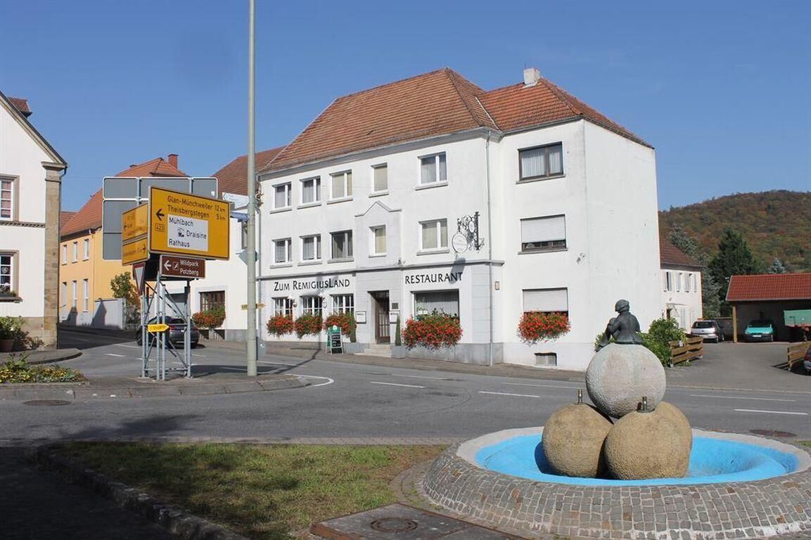
Theisbergstegen -
Altenglan - A62 exit Kusel - B420 to Altenglan
Lauterecken - A62 exit Kusel - B420 to Altenglan
A6 exit Kaiserslautern/West - B270 to Lauterecken
Staudernheim - A61 exit Bad Kreuznach - B41 to Waldböckeheim - L234 to Staudernheim
Altenglan, Glan-Münchweiler, Rehweiler, Theisbergstegen: Kusel - Landstuhl - Kaiserslautern railway line
Lauterecken: Lauterecken - Kaiserslautern railway line
Staudernheim: Nahe line Saarbrücken - Bad Kreuznach - Mainz
Ample parking available:
Waldmohr (marketplace) 66914 Waldmohr, Am Marktplatz Coordinates: Longitude 7° 20' 3'' / Latitude 49° 23' 17''
Theisbergstegen (station) 66871 Theisbergstegen, Bahnhofstraße Coordinates: Longitude 7° 26' 53'' / Latitude 49° 21' 11''
Altenglan (station) 66885 Altenglan, Eisenbahnstraße Coordinates: Longitude 7° 27' 43'' / Latitude 49° 32' 56''
Lauterecken (station) 67742 Lauterecken, Bahnhostraße Coordinates: Longitude 7° 35' 27'' / Latitude 49° 39' 11''
Staudernheim (station) 55568 Staudernheim, Bahnhofstraße 1 Coordinates: Longitude 7° 41' 35'' / Latitude 49° 46' 49''
3
The cross-border Glan-Blies route runs over 130km from Lorraine's Sarreguemines through the Blies valley and across the Kusel Musician's Land along the Glan to Staudernheim (Nahe). The proximity to the rivers not only ensures a flat route profile but also offers unique and very varied landscapes. For long stretches, the route runs on disused railway tracks or alongside the draisine railway, away from road traffic, making it particularly suitable for families with children.
The long undisturbed nature provides beautiful views. Pretty towns, gastronomy along the route, and secondary roads away from traffic shape the cycle path.
Suggestions, observations, or defects? Contact us by email: radwege@lbm.rlp.de www.radwanderland.de (responsible for infrastructure and route description)
The official length of the Glan-Blies cycle path is approx. 130 km.
Due to various detours to attractive destinations, kilometer figures on different portals may vary!
NEW!! NEW!! NEW!!
"Rhineland-Palatinate - Old railway lines. Cycling for the soul"
- we are also featured with the Glan-Blies cycle path and the Fritz-Wunderlich cycle path in the book -
by Ernst Wrba
192 pages, brochure with flaps
€16.99 incl. VAT.
The cycle path runs from France through eastern Saarland and the northern Palatinate into the Nahe region along the Blies and Glan rivers.

Obľúbené výlety v okolí
-
Teufelstour - Olsbrücken
ťažkéTuristika 15,1 km -
4,0
Fritz-Wunderlich Cycle Path
strednáCyklistika 26,1 km -
Kusel - Preußensteig
ťažkéTuristika 25,6 km -
Katzweiler - mill circular hiking trail
svetloTuristika 13,1 km -
Wolfstein - summit trail to Königsberg
ťažkéTematická trasa 8,11 km -
5,0
Potzberg Hiking Trail
strednáTuristika 14,7 km -
Lauter Valley cycle path
svetloCyklistika 36,1 km -
Traumschleife Bärenbachpfad (Dream Loop Bear Creek Trail Baumholder)
strednáTuristika 15,2 km -
Glan-Blies Cycle Route | Family route »Storks, churches & rail cycles«
svetloCyklistika 32,4 km -
Veldenz Hiking Trail - Entire route (Burg Lichtenberg - Veldenz Castle in Lauterecken) - Leading Quality Trail - Best of Europe
ťažkéTuristika 62,0 km
Turistika a stopovanie


Nenechajte si ujsť ponuky a inšpiráciu na ďalšiu dovolenku
Vaša e-mailová adresa bol pridaný do poštového zoznamu.