






Mysterious Signs of the Times - Mönchsweg 1 in Hochspeyer
Úroveň náročnosti: T2
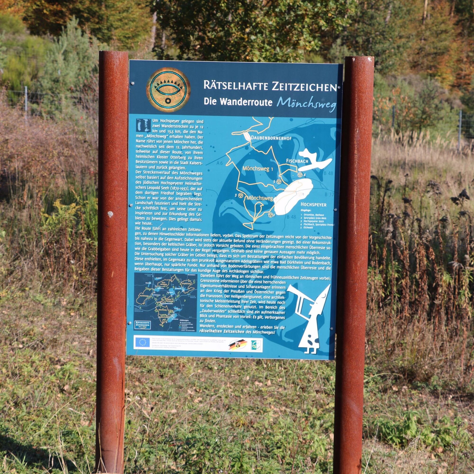
Located around Hochspeyer are two hiking trails of 12 and 13.5 km, named "Mönchsweg." The name stems from those monks who are known to have traveled this route since the 12th century, partially from their...
Located around Hochspeyer are two hiking trails of 12 and 13.5 km, named "Mönchsweg." The name stems from those monks who are known to have traveled this route since the 12th century, partially from their home monastery in Otterberg to their properties and to the city of Kaiserslautern and back.
The course of the Mönchswege is based on the records of the Jewish local historian Leopold Seeh (1873-1937), who is buried in the local cemetery. He was fascinated by the attractive landscape and documented the route to inspire his readers and encourage exploration of the area. This remains successful to this day.
The routes pass numerous historical sites, with information provided by signs. The range of historical witnesses extends from prehistory to almost the present. Along Mönchswege I and II, the current condition is always shown without changes.
The once deposited human remains and grave goods are generally gone today, so no precise statements are possible. Studies of such graves in the area show that they were burials of the local population. These included grave goods representing everyday life objects. Noble graves, such as those in Bad Dürkheim and Rodenbach, were richly furnished but without records from that time. Generally, the human remains and grave goods from these burials have mostly disappeared today and are only visible to the trained eyes of archaeologists by soil discolorations. In addition, the path passes Roman and early modern sites; boundary stones provide information about former ownerships, and fortifications recall the war of Prussians and Austrians against the French. The Heiligenberg Tunnel, an architectural masterpiece of its time, is still used today for rail traffic.
In the area of the Magic Forest, a keen eye and imagination are advantageous: it is about discovering the hidden. Hiking, discovering, and experiencing – experience the mysterious signs of the Mönchsweg!
ATTENTION! – Campaign for respectful coexistence in nature
Always behave considerately, friendly, and respectfully to everyone you meet.
Respect nature, do not destroy plants, and always stay on the paths. Avoid excessive noise and leave the forest before dusk.
Remember to bring a trash bag and take your waste back home.
Please keep your dog on a leash at all times. Other visitors and animals will thank you.
Pay attention to all trail closures for your own safety, even on weekends.
Only park in designated parking lots. Leave space for emergency vehicles and agricultural machines.
Give priority to agricultural and forestry traffic.

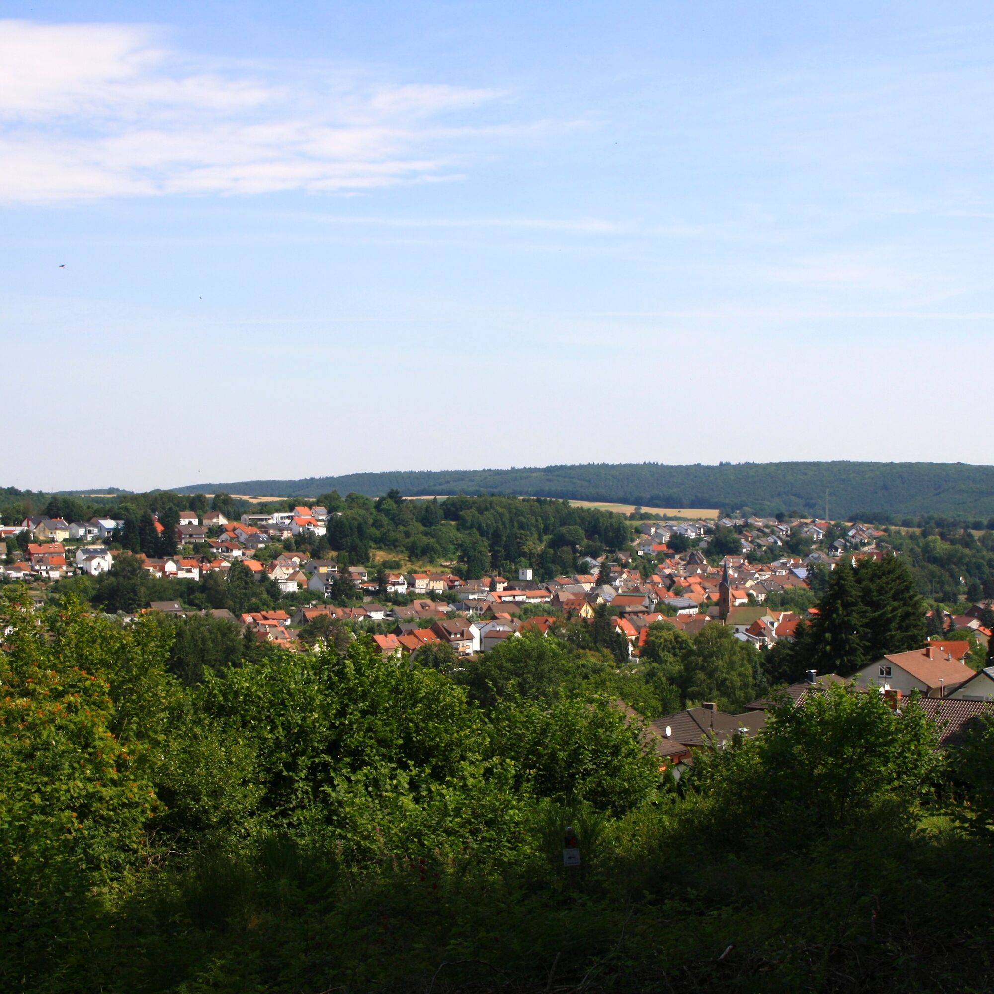
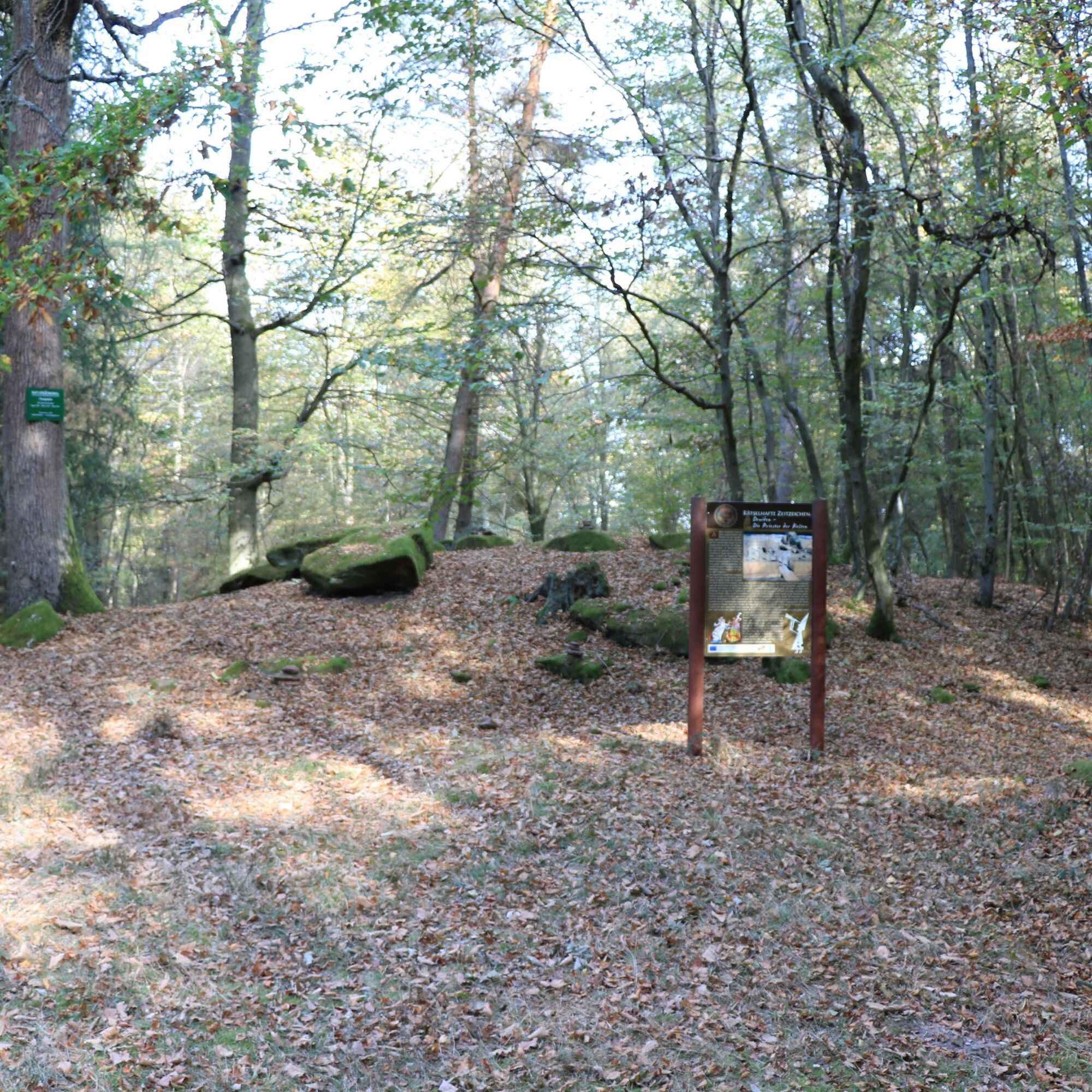
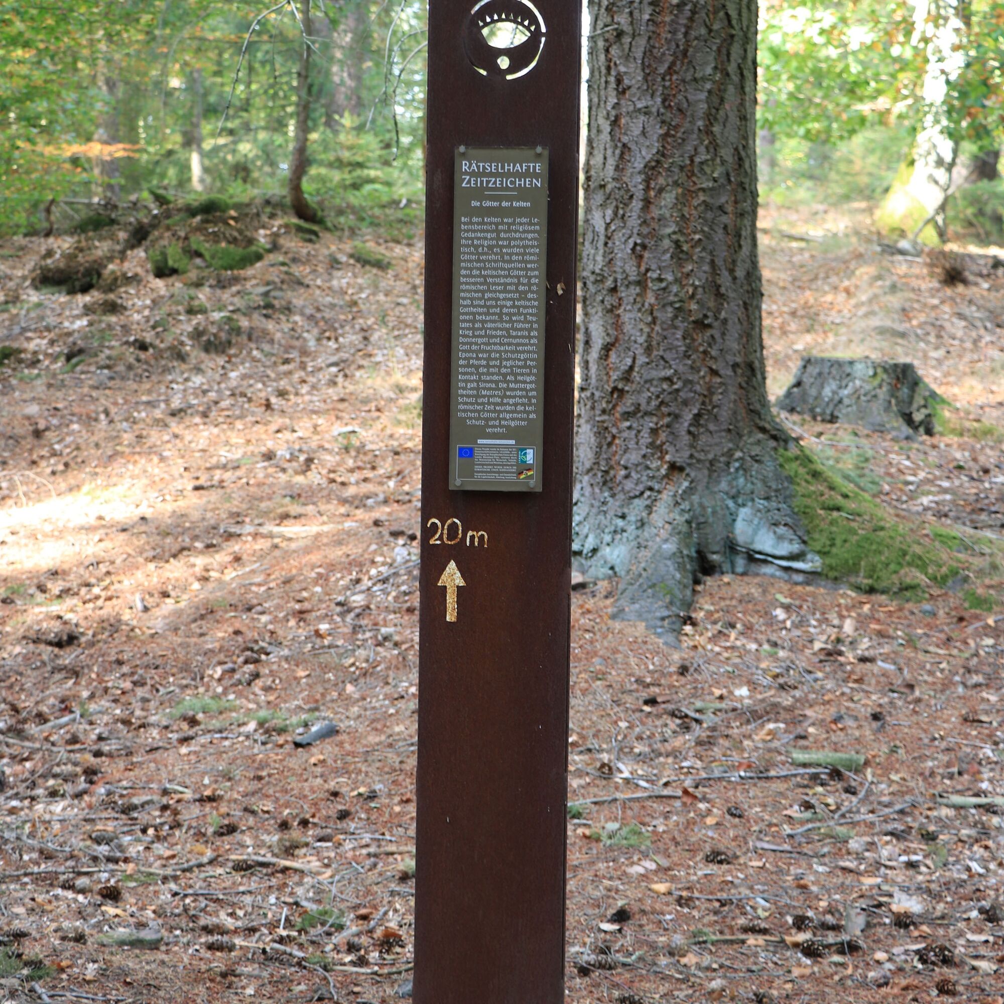
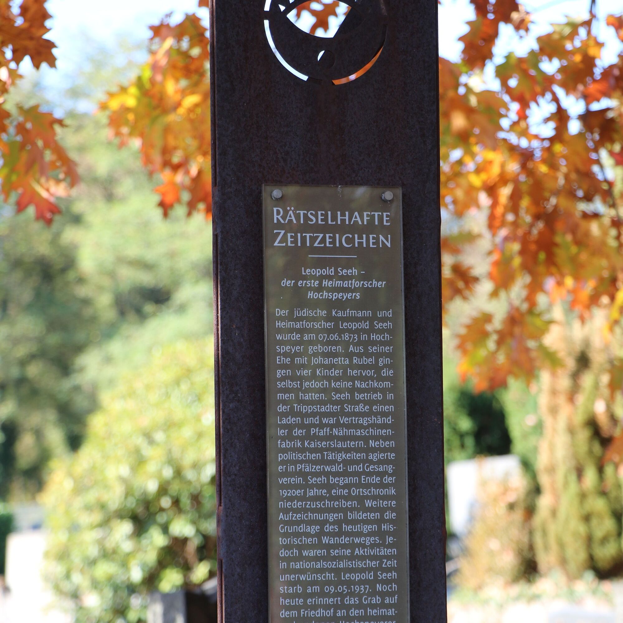


The route begins at the administrative building in Hochspeyer and initially follows the B37 towards Kaiserslautern until reaching the forest edge. After turning right at the bakery onto Hundsbrunnertalstraße, you follow the markings over the Hinterer Langer Berg to the Blücherschanze. This is a fortification from the time of the French Revolution, recalling the war of the Prussians and Austrians against the French. The route then passes numerous historical sites, with information provided by signs. For example, you learn about the Druids – the priests of the Celts – as well as the Celtic gods and their significance. Passing many barrows, which always show the current condition unchanged, you reach the Daubenbornerhof. After a short rest there, the path continues along idyllic forest trails to the Frontalhütte. But be careful! From the Frontalhütte onward, attention is required, as there are hidden things to discover. With a sharp eye, imagination, and a bit of luck, you can spot the inhabitants of the "Magic Forest." After leaving the "Magic Forest," the route again passes barrows on the way back towards Hochspeyer. Along the way, you learn how impressive Celtic art was and also what imports from the south have to do with the barrows. Passing the cemetery and the grave of the Jewish local historian Leopold Seeh (1873-1937), on whose records the route is based, you return to the starting point of the route.
For our hiking tours, we recommend the following equipment as standard:
Sturdy footwear Clothing appropriate for the weather Sun and rain protection Sufficient supply of food and drinks, as there are not always dining or shopping opportunities available or open. Although the paths are very well marked throughout, it is advisable for safety reasons to always carry a suitable hiking map, so that, for example, in the event of a thunderstorm or emergency, you can quickly find a safe area.The paths are natural, with steep sections and trails. The path is not passable with a stroller.
Especially in autumn, you should also be aware that fallen leaves on the ground can hide unevenness, roots, stones, or holes in the path. After thunderstorms or rainstorms, trees can also still fall or branches break off afterward. Especially in adverse weather conditions, natural paths can have muddy and slippery sections. Not all rocks or cliffs are secured with ropes or railings. Surefootedness is required in some places. You must expect such path impairments when hiking. If you believe some sections of the path are not passable for you, you should avoid them.
NOTE:
We strive to announce all closures that occur due to forest work or hunting groups on this platform. Nevertheless, there are situations where hiking trails are closed, and we may not have been informed. If you unexpectedly encounter a trail closure or detour, please observe the notes for your own safety.
A 6 to the Enkenbach-Alsenborn exit, then continue on B 48 to Hochspeyer, administrative building Hochspeyer, Hauptstraße 121, 67691 Hochspeyer
By train from Neustadt or Kaiserslautern to Hochspeyer station
There are parking spaces directly at the administrative building Hauptstraße 121 or Hauptstraße 107.
It is also possible to park at the station. The Mysterious Signs of the Times are marked from there.
T2
Guided tours can be booked through the Enkenbach-Alsenborn Tourist Office at tourism@enkenbach-alsenborn or by phone at 06303-913-120.
Obľúbené výlety v okolí
-
5,0
Karlstal Gorge Circular Hiking Route
strednáTuristika 10,1 km -
4,8
Zum Saupferch - Jägerthal - Drachenfels - Lambertskreuz
strednáTuristika 10,1 km -
3,5
Leininger Monastery Trail - Premium hiking trail with audio and video stations
strednáTuristika 15,3 km -
Hinkelsteinweg - complete route
strednáTuristika 41,7 km -
4,0
Otterberg - Circular Hiking Route 5 - Springs Circular Hiking Route
svetloTuristika 6,91 km -
Otterberg - Hinkelsteinweg (Southern Route)
strednáTuristika 21,8 km -
Otterberg - circular hiking trail 3 - Wallonen circular hiking trail
svetloTuristika 10,7 km -
Katzweiler - Humberg route (circular)
ťažkéTuristika 13,0 km -
Otterbach - Waldforscher path in Himmelreich
svetloTematická trasa 2,59 km -
Pfälzer Hüttensteig - Prädikat Transfer Hiking Trail
ťažkéTuristika 93,3 km
Turistika a stopovanie


Nenechajte si ujsť ponuky a inšpiráciu na ďalšiu dovolenku
Vaša e-mailová adresa bol pridaný do poštového zoznamu.





