


Appelhorst route - Cycling by numbers in the Elbe-Havel-Winkel
Sights / Excursion destinations:
3 swimming spots (Havelberg/ Elbe beach Sandau/ Rahnsee Wulkau) Church of St. Laurentius / St. Nikolaus Sandau Motor and guided cable ferry in Sandau Crane resting place...Sights / Excursion destinations:
3 swimming spots (Havelberg/ Elbe beach Sandau/ Rahnsee Wulkau) Church of St. Laurentius / St. Nikolaus Sandau Motor and guided cable ferry in Sandau Crane resting place with observation tower at Lütow (between the Hanseatic city of Havelberg and the village of Jederitz)Path rideability: very good
lightly trafficked country roads bike paths alongside roads developed agricultural paths
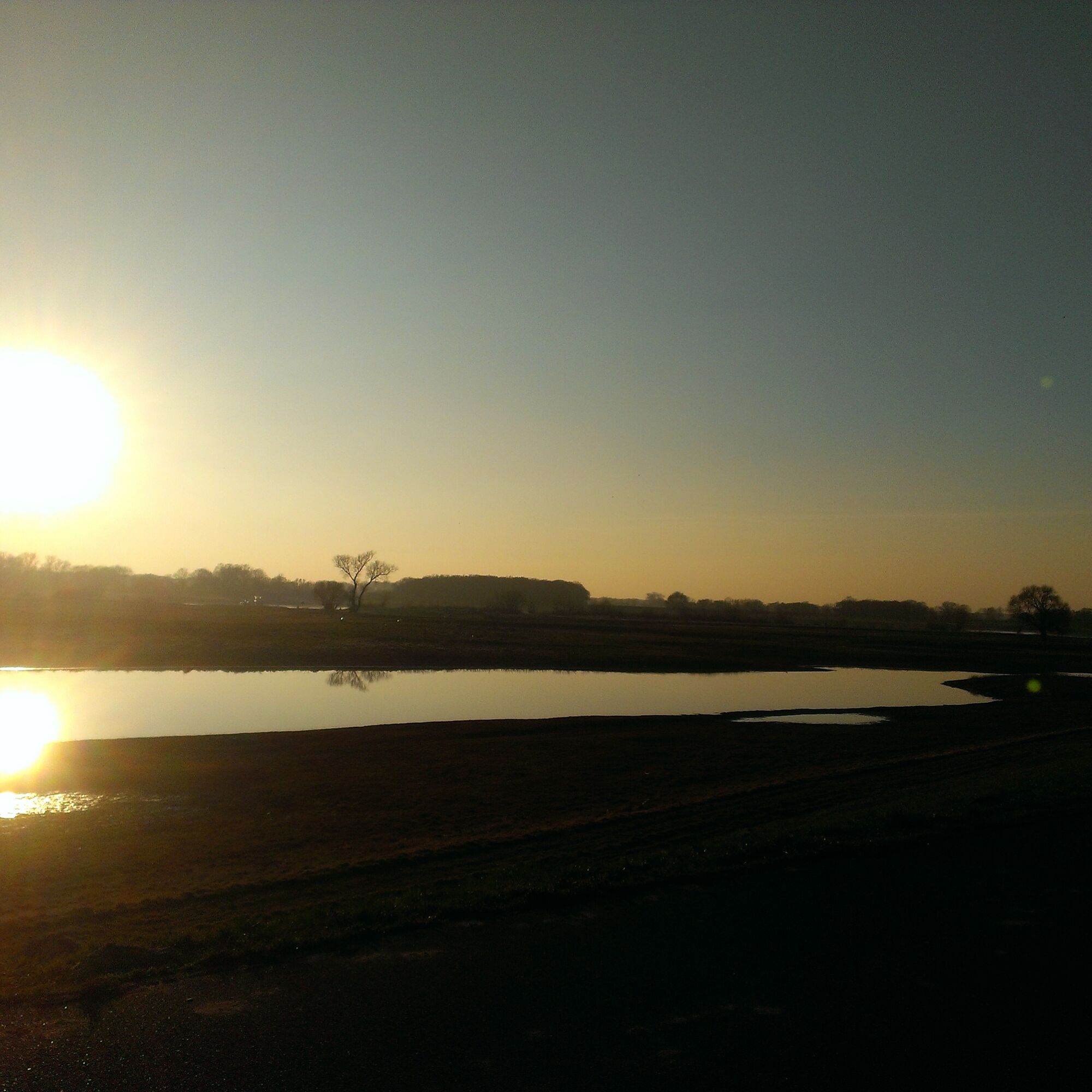
You can start the route in the town of Sandau (Elbe) (with dining opportunities) at the late Romanesque brick church of St. Laurentius at junction 78. A visit is worthwhile. The church tower, rebuilt in recent years, offers a unique view over the Elbe area. You cycle towards the Hanseatic city of Havelberg up to junction 1. In Havelberg, before the Sandau bridge, turn right into Rathenower Street and cycle on the bike path alongside the road to Jederitz. About 2 km behind Jederitz, at junction 2, turn right onto an agricultural path, which you follow along the Jederitzer Holz nature reserve to Neukamern. On this path, you can turn right towards Trübengraben and see a weir. Behind it is the Appelhorst. Unfortunately, we cannot guide you directly through the Appelhorst towards Sandau (Elbe) over the weir. You cycle back the same way and continue to junction 20 to Kamern. There you can admire the Hedemicke, a natural monument. Then continue to junction 20 and then on a bike path alongside the road, which passes Rahnsee with swimming facilities and a fishing pond on the way to Wulkau. After passing Wulkau and junction 37, cycle back to Sandau on the bike path alongside the road. If time allows, a trip with the motor and guided cable ferry to the other bank of the Elbe with dining opportunities 2 km away is recommended.
Sandau …4.3 km... Havelberg ...4.8 km... Jederitz ...6.1 km... Neukamern ...4.1 km… Wulkau ...3.8 km... Sandau
This cycling route follows the junctions: 78-1-2-20-43-37-78
Áno
Parking is available in the town center of Sandau (Elbe).
Obľúbené výlety v okolí
-
5,0
"Nature trail Lake Klietz" Klietz
svetloTuristika 7,35 km -
5,0
Elbe "cruise" in the Altmark, two Hanseatic cities on two wheels
svetloCyklistika 30,6 km -
Elbe cycle route - Hanseatic cities, Romanesque art and untouched nature of the Altmark
strednáCyklistika 73,8 km -
Frau Harke Legend Trail hike
Turistika 10,2 km -
Quappenwinkel route - passing through the Havel lowlands near the Hanseatic city of Havelberg
svetloCyklistika 37,5 km -
Altmark circular route: From the Hanseatic city of Seehausen to the Hanseatic city of Havelberg
strednáCyklistika 70,4 km -
Elberadeltag 2024 - Sterntour Havelberg - Sandau
Cyklistika 43,2 km -
Pleinair route - on the trail of art in Arneburg
svetloTematická trasa 2,53 km -
Die Arneburger Linien
Tematická trasa 0,84 km -
Natur und Hanse-Route im Norden des Elb-Havel-Winkels
svetloCyklistika 75,0 km

Turistika a stopovanie


Nenechajte si ujsť ponuky a inšpiráciu na ďalšiu dovolenku
Vaša e-mailová adresa bol pridaný do poštového zoznamu.