






Along the Mulde from Freiberg to Holzhau
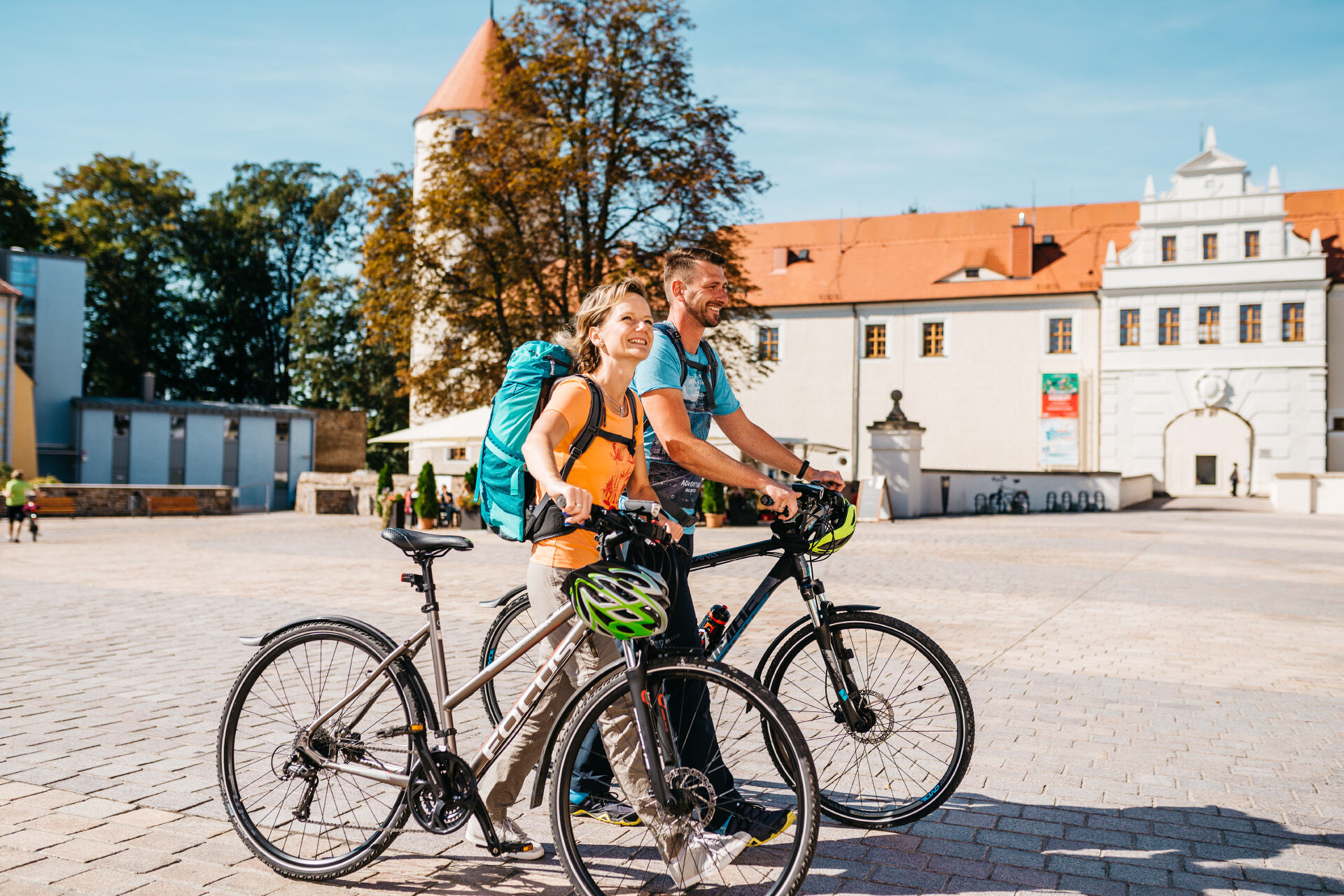
The Mulde cycle path from Freiberg is ideal for cycling tours. It meanders romantically along the Freiberg Mulde. Follow in the footsteps of industrial culture and the witnesses of mining on this section....
The Mulde cycle path from Freiberg is ideal for cycling tours. It meanders romantically along the Freiberg Mulde. Follow in the footsteps of industrial culture and the witnesses of mining on this section. The ride is interspersed with untouched sections of countryside.
You can also do the tour in reverse. Simply take the Freiberg Railway shuttle from Freiberg station to the final stop in Holzhau and then enjoy a rapid descent from the Ore Mountains to Freiberg.

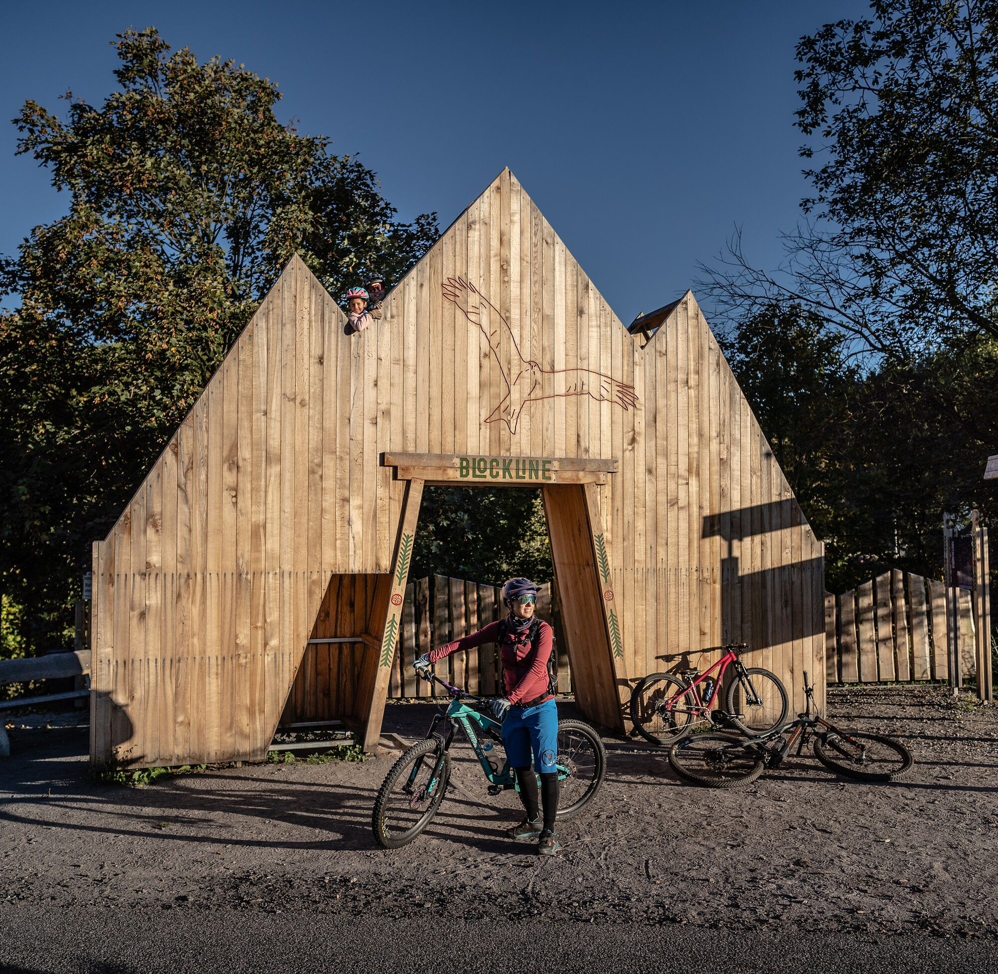
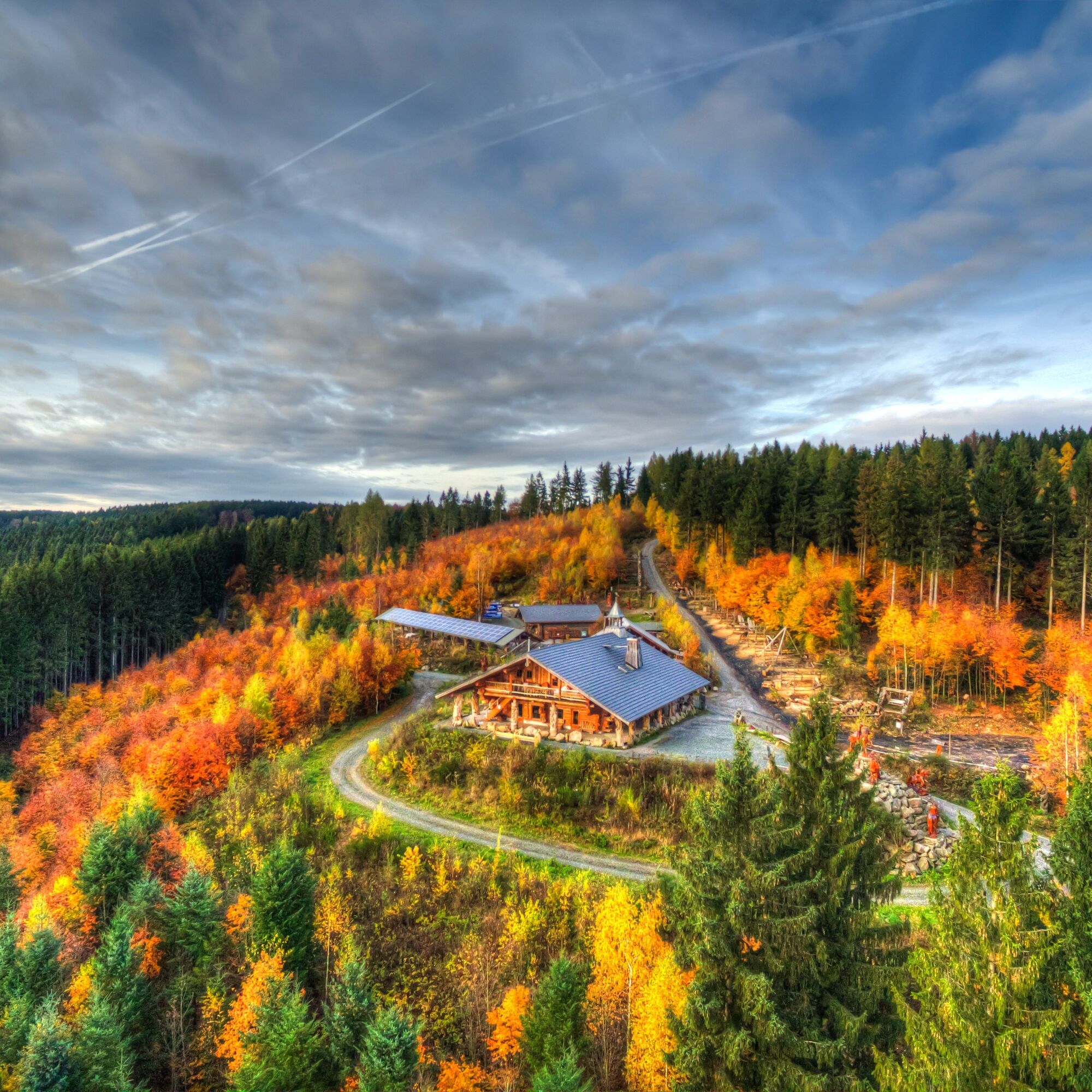
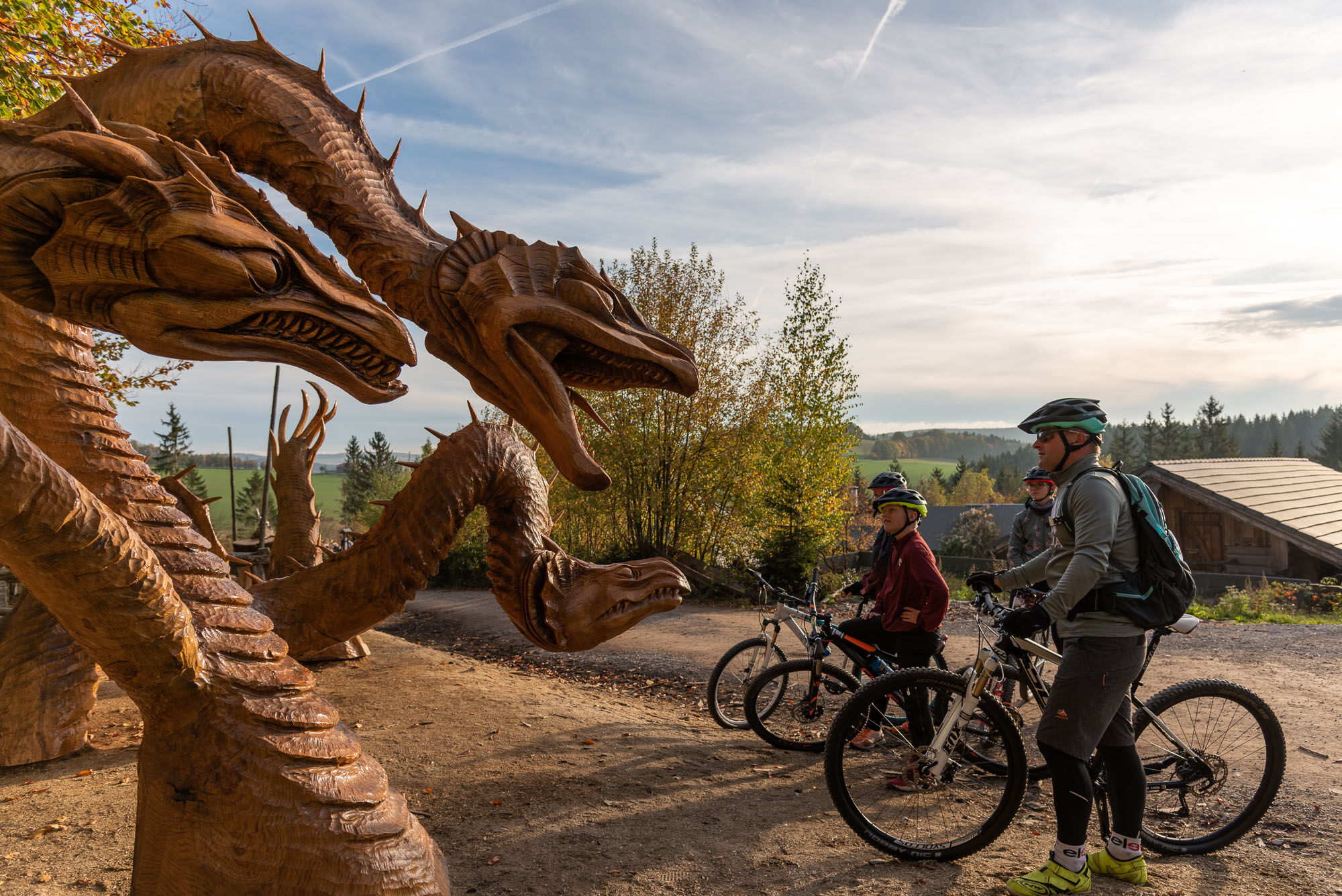
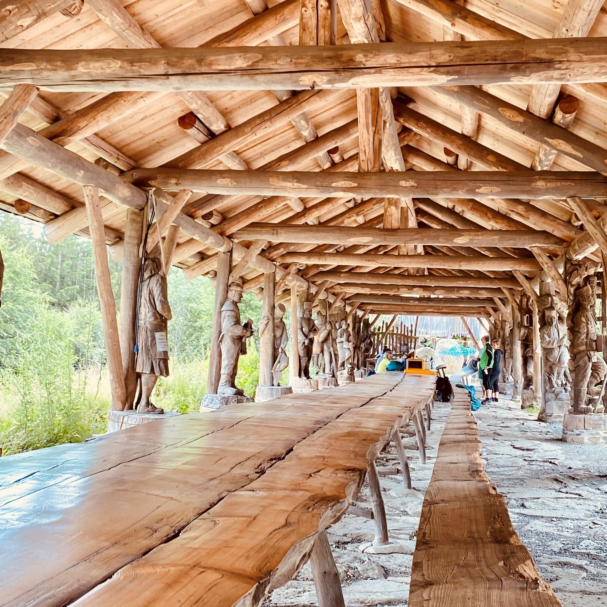

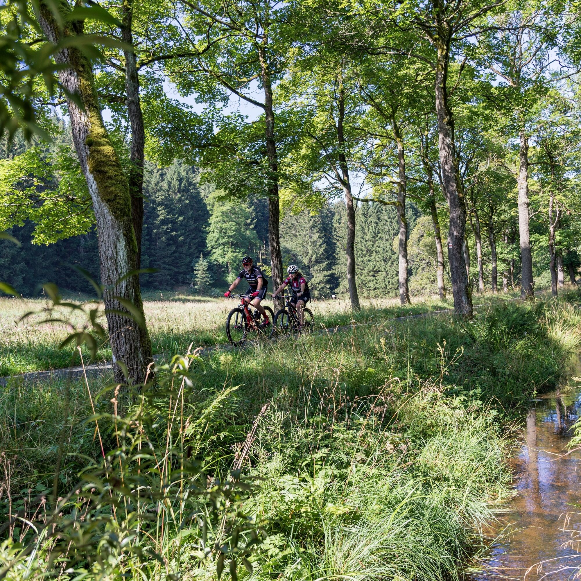

This cycle tour starts in Freiberg at the Eherne Schlange parking lot. From the parking lot, turn left onto Eherne Schlange until you reach the traffic circle. Follow the directions through the Silberhof district towards Zug. The route takes you along the Silberstraße cycle route. After the railroad tunnel, turn left and then follow the cycle path towards Weißenborn.
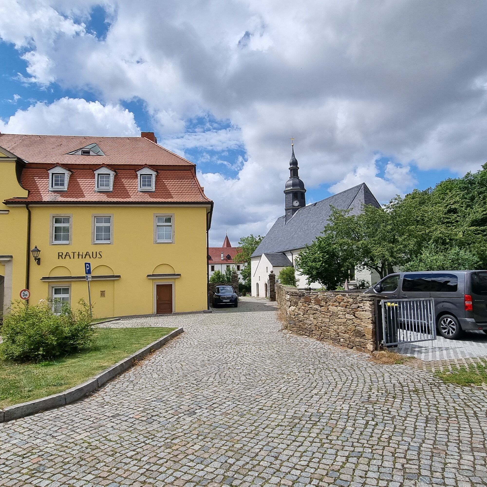
Continue left along the Mulde river to Weißenborn with its 13th century castle. The outdoor pool offers refreshment in summer.
From Weißenborn, the route now runs parallel to the S 209. Cycle to the entrance to Berthelsdorf and turn left onto the cycle path immediately after the Mulde bridge. The route now leads through a wooded area where nature lovers can learn about the local flora and fauna thanks to an educational trail.
The next stop is Lichtenberg. Here you will pass the viaduct, which was put into operation in 1875. Continue along the S 209 towards Mulda. Here we recommend a visit to the lovingly maintained historic sawmill.
The route continues through a wooded area that extends as far as the Lichtenberg dam to Nassau, where you now follow the S 209, pass Clausnitz and finally reach Rechenberg-Bienenmühle. The neo-Gothic church in the Rechenberg district is particularly striking here. If you want, you can cool off in the Rechenberg eco-pool or enjoy a cool drink in the Rechenberg Saxon Brewery Museum.
The next and final destination is Holzhau. If you still have reserves, you can try the up to 18% ascent of the mountain road. You will be rewarded with a fantastic view of the Erzgebirge mining region.
For the way back to Freiberg, you can use the Freiberg railroad shuttle or, if you still have stamina, you can cycle back the same way.
Áno
Áno
Áno
For the return journey, you can take the Freiberg Railway shuttle from Holzhau station.
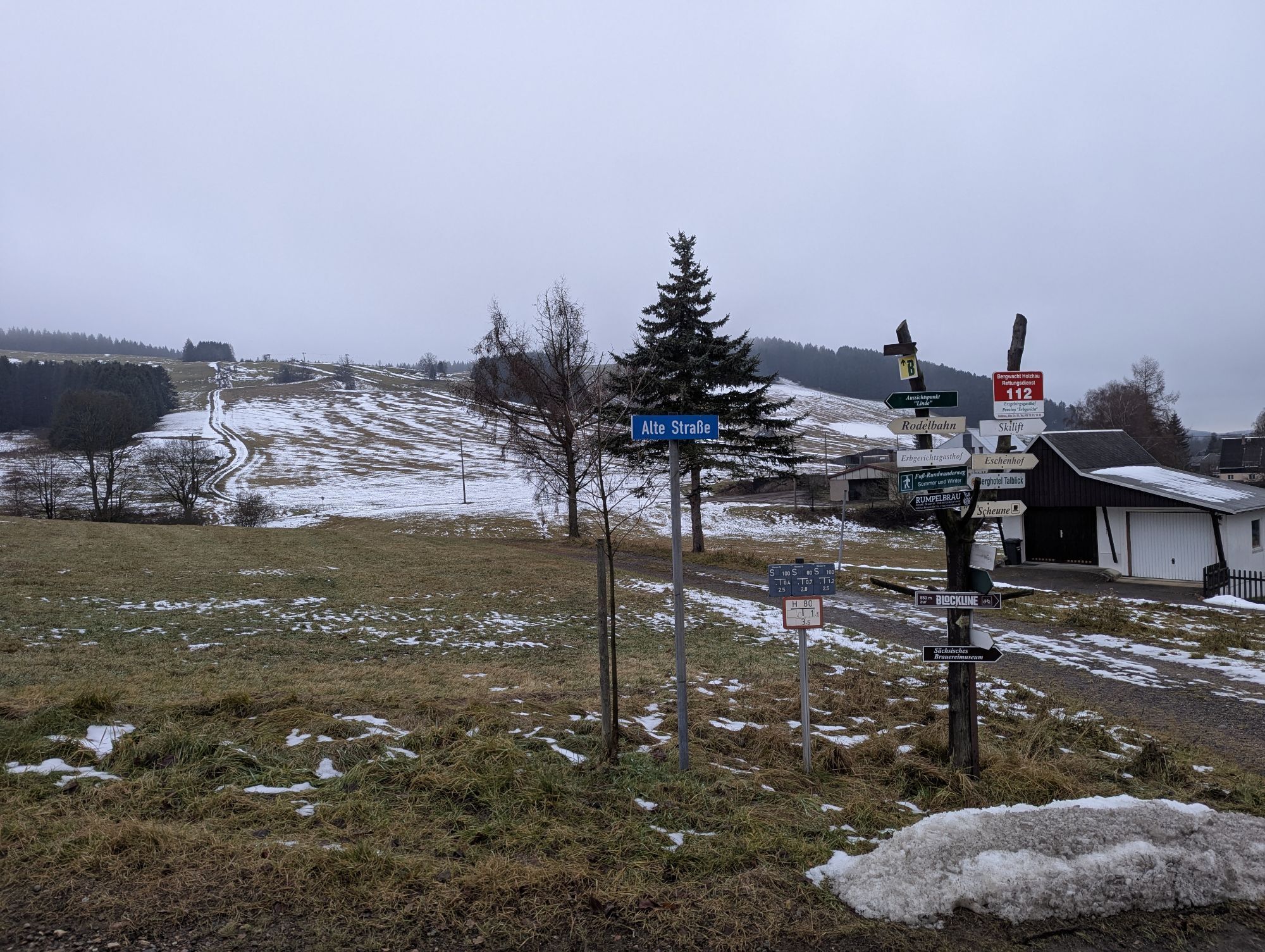
In Mulda, a detour to Blockhausen is worthwhile
Získajte prehľad
Vždy naživo na mieste s viac ako 9 500 webovými kamerami. bergfex Ako používateľ Pro si teraz môžete pozrieť príslušné webové kamery pre mnohé zájazdy v aplikácii zájazdy z. Môžete si tak priamo prezerať aktuálne podmienky.
Obľúbené výlety v okolí
-
5,0
Circular hike to the Rauschenbach reservoir
Turistika 9,52 km -
Day tour Kammweg 04 Around Frauenstein 35km 2-day hike
ťažkéTuristika 36,1 km -
Rechenberg beer tour
strednáTuristika 6,09 km -
Water, silver, noble crown ... the Ritter Theler Tour!
strednáTuristika 22,6 km -
RR ERZ T08 From Holzhau through the Flöha valley
strednáCyklistika 22,2 km -
Shaft hopping for the whole family in Freiberg
strednáTuristika 10,9 km -
Blockline Loop 2: Holzhau " Frauenstein " Blockhausen " Kreuztanne " Holzhau
ťažkéMountainbike 53,3 km -
Hike to the Katzenstein
ťažkéTuristika 5,68 km -
BLOCKLINE - The bike adventure in the Erzgebirge
ťažkéMountainbike 138,2 km -
Day tour Kammweg around Rechenberg-Bienenmühle via Floßgraben and Holzhau 17km
Turistika 17,5 km

Turistika a stopovanie


Nenechajte si ujsť ponuky a inšpiráciu na ďalšiu dovolenku
Vaša e-mailová adresa bol pridaný do poštového zoznamu.





