
Erzgebirgswald-Mulde cycle path
ťažké
Získajte túto prehliadku v mobilnom telefóne
Erzgebirgswald-Mulde cycle path
ťažké
Cyklistika
51,28
km
Naskenujte kód QR a spustite navigáciu v aplikácii bergfex


Turistika a stopovanie





Erzgebirgswald-Mulde cycle path
ťažké
Vzdialenosť
51,3
km
Trvanie
04:39
h
Ascent
785
hm
Hladina mora
345 -
720
m

Naviguj sa počas prehliadky v aplikácii
Nainštalujte si aplikáciu zadarmo a sledujte trasu vďaka GPS navigácii a sledovaniu polohy.
Využite službu „ bergfex “ už teraz v aplikácii
Naskenuj QR kód pomocou fotoaparátu
Ak máte aplikáciu nainštalovanú, obsah sa otvorí priamo. Ak aplikáciu ešte nemáte, budete presmerovaní na stránku, kde si ju môžete bezplatne stiahnuť.
Úroveň náročnosti: 5
Stiahnutie skladby
Erzgebirgswald-Mulde cycle path
ťažké
Cyklistika
51,28
km
Trasa
Bockau
(496 m)
Dedina
5,6 km
Falkenstein
(663 m)
Summit
7,9 km
Sosa
(680 m)
Dedina
14,4 km
Evangelische Kirche Sosa
(605 m)
Miesto uctievania
14,5 km
Aue
(354 m)
Mesto
41,2 km
Moschee As-Salam
(352 m)
Miesto uctievania
41,8 km
Lauter
(464 m)
Mesto
49,7 km
Trasa
Erzgebirgswald-Mulde cycle path
ťažké
Cyklistika
51,28
km
Ebertkreuz
(669 m)
Koridor/terén
2,4 km
Bockau
(496 m)
Dedina
5,6 km
Falkenstein
(663 m)
Summit
7,9 km
Gasthof "ZumStern"
(611 m)
Reštaurácia
14,4 km
Sosa
(680 m)
Dedina
14,4 km
Evangelische Kirche Sosa
(605 m)
Miesto uctievania
14,5 km
Meiler 2
(673 m)
Reštaurácia
15,6 km
Sosa
(680 m)
Dedina
26,9 km
Landgasthof & Pension "Zum Schützenhaus"
(602 m)
Reštaurácia
26,9 km
Aue
(354 m)
Mesto
41,2 km
Moschee As-Salam
(352 m)
Miesto uctievania
41,8 km
Hakenkrümme
(367 m)
Koridor/terén
44,0 km
Lauter
(464 m)
Mesto
49,7 km
Galerie
(442 m)
Reštaurácia
49,7 km
Autor
Poskytuje Erlebnisheimat Erzgebirge
Prehliadku Erzgebirgswald-Mulde cycle path zabezpečuje outdooractive.com.

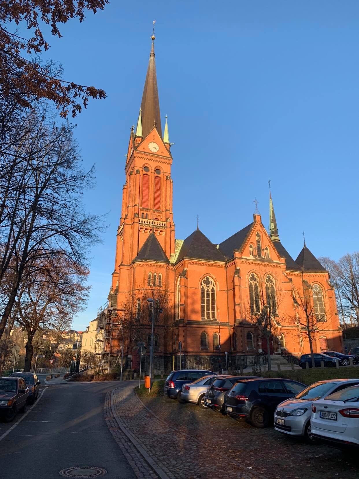

Informácie o trase
Trasa
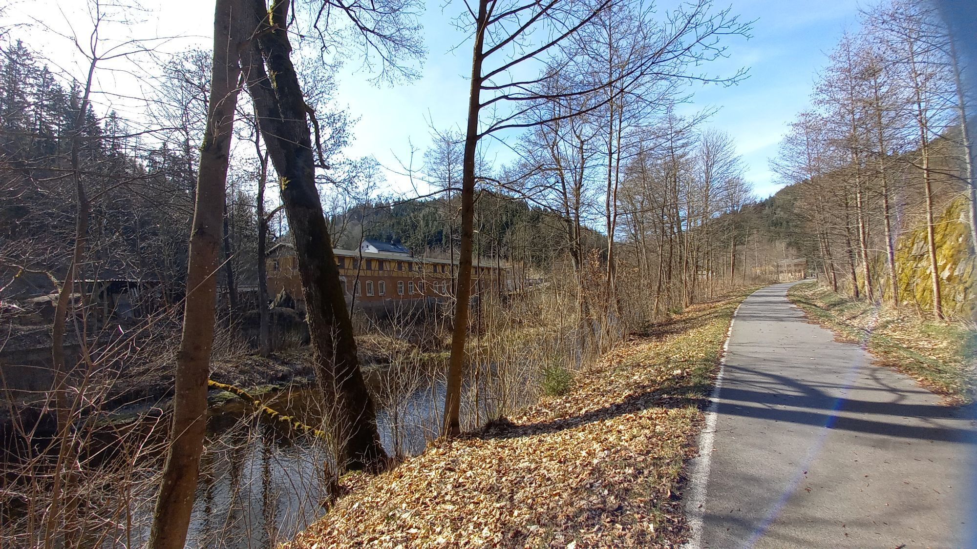
The starting point is the "Hotel & Restaurant Danelchristelgut" in Lauter. From the forest path starting there, passing the trout ponds, it immediately goes uphill again to the next junction in the forest, where you turn right. You cycle on to the paved road and ride about 400 m straight ahead and uphill to the next junction. On the left is the Conradswiese forest school home.
At this junction, continue uphill until the next road intersects. Here you turn right and follow the road to the "Ebertkreuz," where you turn left and ride about 400 m downhill. At the next junction, turn left and continue slightly downhill until you reach the state road between Bockau and Jägerhaus.
You cross this and continue downhill, past the Bockau shooting range to the miniature display "Gretel's Ruh," which offers a welcome resting place in the middle of the forest. At the junction there, go right on an unpaved path into Bockau, past the liqueur factory with spirits museum on the left, until you reach the paved state road. Follow this to the junction at the "Sachsenhof" inn and turn left. A long ascent follows past Bockau outdoor swimming pool and sports ground, through a garden area along the "Bösewetterweg," further on the unpaved "Gläserweg" until you turn left onto the "Lange Schienenschneise," then right onto the "Sosaer Straße." From here, cycle on to state road S274 and turn left towards Sosa.
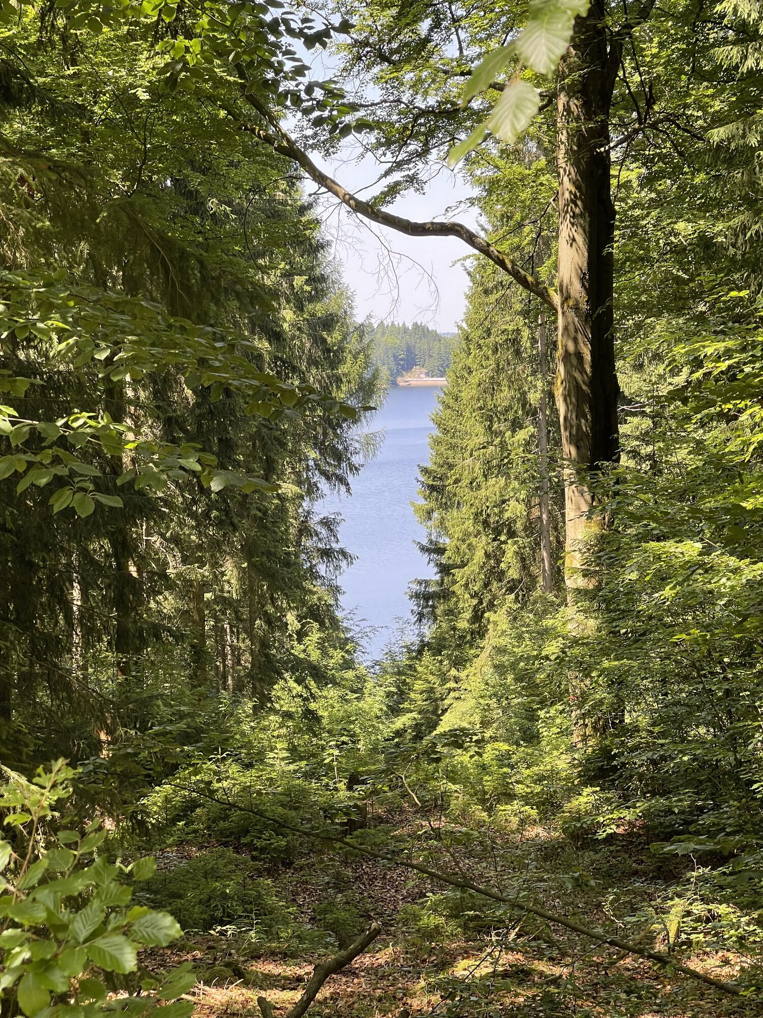
Arriving in Sosa, ride to the center and just before the church on the right, turn left towards the reservoir. Continuing uphill, you have the option to turn right and treat yourself to culinary delights in the inn "Am Meiler" with its unique atmosphere. Straight ahead leads directly to the "Sosa drinking water reservoir." The tour goes left past the reservoir; we continue on the "Neuer Bärenweg," then on the "Seitenflügel" to the "Zimmersacherweg." Here you ride about 4 km slightly downhill past the "Zimmersacher" inn, which invites you to stay in the parlor and, in good weather, the beer garden. It continues past the "Blauenthal Waterfall," the highest waterfall in Saxony and a popular excursion destination. From here, ride to the state road and turn left, continue over a bridge and finally reach a bike path junction where you turn right onto the Mulde valley cycle path.
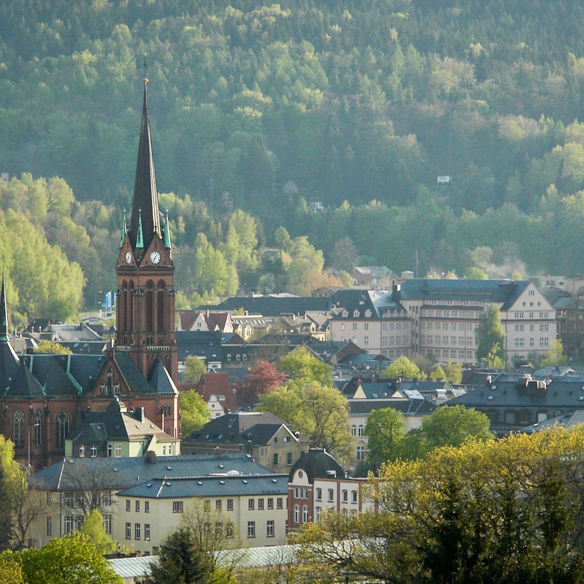
Along the Mulde, cycle about 10 km on this idyllic bike path until the cycle path ends in the center of Aue. On the left is the market with St. Nicholas Church, many shops, inns and the Flairhotel "Blauer Engel," which houses the restaurants "Tausendgüldenstube," "St. Andreas," and the brewery pub "Lotters Wirtschaft." From the end of the cycle path, turn right onto Rudolf Breitscheid Street and cycle about 1 km until you turn right again onto "Badstraße" after the "Fuhrunternehmen Kämmler." Here, ride along the Schwarzwasser river until you pass under a bridge. The road then becomes a forest path; after a short 200 m climb, turn left and continue along the Schwarzwasser towards Lauter. After about 4 km, you reach the paved "Brethausstraße," pass the "Holzgroßhandel Weidauer," and finally reach Lauter station. Now turn right onto Bahnhofstraße and ride until you cross the main road. Then turn right onto the main road, slightly uphill into the center of Lauter, until the junction where the "Heinrich Heine Secondary School" is located. Turn left here, pass the new town hall of Lauter, and at the next opportunity, turn left into "Antonsthalerstraße," continuing about 300 m uphill. Cross B101 and continue straight and uphill until after about 3 km you reach the destination, the "Danelchristelgut." Here you now have the opportunity to indulge yourself extensively after the somewhat longer bike tour.
At this junction, continue uphill until the next road intersects. Here you turn right and follow the road to the "Ebertkreuz," where you turn left and ride about 400 m downhill. At the next junction, turn left and continue slightly downhill until you reach the state road between Bockau and Jägerhaus.
You cross this and continue downhill, past the Bockau shooting range to the miniature display "Gretel's Ruh," which offers a welcome resting place in the middle of the forest. At the junction there, go right on an unpaved path into Bockau, past the liqueur factory with spirits museum on the left, until you reach the paved state road. Follow this to the junction at the "Sachsenhof" inn and turn left. A long ascent follows past Bockau outdoor swimming pool and sports ground, through a garden area along the "Bösewetterweg," further on the unpaved "Gläserweg" until you turn left onto the "Lange Schienenschneise," then right onto the "Sosaer Straße." From here, cycle on to state road S274 and turn left towards Sosa.
Arriving in Sosa, ride to the center and just before the church on the right, turn left towards the reservoir. Continuing uphill, you have the option to turn right and treat yourself to culinary delights in the inn "Am Meiler" with its unique atmosphere. Straight ahead leads directly to the "Sosa drinking water reservoir." The tour goes left past the reservoir; we continue on the "Neuer Bärenweg," then on the "Seitenflügel" to the "Zimmersacherweg." Here you ride about 4 km slightly downhill past the "Zimmersacher" inn, which invites you to stay in the parlor and, in good weather, the beer garden. It continues past the "Blauenthal Waterfall," the highest waterfall in Saxony and a popular excursion destination. From here, ride to the state road and turn left, continue over a bridge and finally reach a bike path junction where you turn right onto the Mulde valley cycle path.
Along the Mulde, cycle about 10 km on this idyllic bike path until the cycle path ends in the center of Aue. On the left is the market with St. Nicholas Church, many shops, inns and the Flairhotel "Blauer Engel," which houses the restaurants "Tausendgüldenstube," "St. Andreas," and the brewery pub "Lotters Wirtschaft." From the end of the cycle path, turn right onto Rudolf Breitscheid Street and cycle about 1 km until you turn right again onto "Badstraße" after the "Fuhrunternehmen Kämmler." Here, ride along the Schwarzwasser river until you pass under a bridge. The road then becomes a forest path; after a short 200 m climb, turn left and continue along the Schwarzwasser towards Lauter. After about 4 km, you reach the paved "Brethausstraße," pass the "Holzgroßhandel Weidauer," and finally reach Lauter station. Now turn right onto Bahnhofstraße and ride until you cross the main road. Then turn right onto the main road, slightly uphill into the center of Lauter, until the junction where the "Heinrich Heine Secondary School" is located. Turn left here, pass the new town hall of Lauter, and at the next opportunity, turn left into "Antonsthalerstraße," continuing about 300 m uphill. Cross B101 and continue straight and uphill until after about 3 km you reach the destination, the "Danelchristelgut." Here you now have the opportunity to indulge yourself extensively after the somewhat longer bike tour.
Informácie o príchode
Parkovanie
Hotel parking lot Hotel Danelchristelgut
Ďalšie informácie a tipy
Úroveň náročnosti
5
Ďalšie informácie
Hotel & Restaurant "Danelchristelgut"
Antonsthaler Straße 44
08315 Lauter-Bernsbach/OT Lauter
Tel.: 0049 3771 704750
Fax: 0049 3771 70475159
Zatiaľ žiadne recenzie
Webové kamery z prehliadky

Všetky webové kamery na mape
Nainštaluj si aplikáciu zadarmo a porovnaj živé zábery z viacerých miest, než vyrazíš.
Využite službu „ bergfex “ už teraz v aplikácii
Naskenuj QR kód pomocou fotoaparátu
Ak máte aplikáciu nainštalovanú, obsah sa otvorí priamo. Ak aplikáciu ešte nemáte, budete presmerovaní na stránku, kde si ju môžete bezplatne stiahnuť.
Obľúbené výlety v okolí
-
Rundwanderung Talsperre Sosa
svetloTuristika 7,95 km -
4,0
Panorama trail Schwarzenberg
strednáTuristika 13,8 km -
5,0
At the Eibenstock dam / Hundshübler circular hiking trail
svetloTuristika 4,61 km -
Stoneman Miriquidi 162 kilometers of pure mountain bike emotion
ťažkéMountainbike 168,0 km -
2,0
Sosa Talsperre - Blauenthaler Wasserfall
ťažkéTuristika 9,03 km -
Segwayfahrt bei Eibenstock
svetloMountainbike 15,2 km -
Burg Stein - Prinzenhöhle - Bastei (Mehltheuer) - Burg Stein ,Hartenstein, Deutschland Hartenstein, Deutschland
strednáTuristika 13,9 km -
5,0
Day route Ridge path 25 From Auersberg to the Carlsfeld dam and back
ťažkéTuristika 20,4 km -
4,5
Small Crane Lake
strednáTuristika 8,11 km -
3,0
At the Eibenstock reservoir / Marienweg
strednáTuristika 8,64 km
Turistika a stopovanie

Viac ako 550.000 návrhov výletov, podrobné mapy a intuitívny plánovač trás robia z aplikácie povinnú výbavu pre všetkých nadšencov prírody.

Nenechajte si ujsť ponuky a inšpiráciu na ďalšiu dovolenku
Prihlásiť sa k odberu noviniek
Chyba
Vyskytla sa chyba. Prosím, skúste to znova.
Ďakujeme za vašu registráciu
Vaša e-mailová adresa bol pridaný do poštového zoznamu.
Zájazdy po celej Európe
Rakúsko
Švajčiarsko
Nemecko
Taliansko
Slovinsko
Francúzsko
Holandsko
Belgicko
Poľsko
Lichtenštajnsko
Česko
Slovensko
španielsko
Hrvaška
Bosna a Hercegovina
Luxembursko
Andorra
Portugalsko
Island
Spojené kráľovstvo
Írsko
Grécko
Albánsko
Severné Macedónsko
Malta
Nórsko
Čierna Hora
Moldavsko
Kosovo
Maďarsko
San Maríno
Rumunsko
Estónsko
Lotyšsko
Bielorusko
Cyprus
Litva
Srbsko
Bulharsko
Monako
Dánsko
Švédsko
Fínsko





