







RR ERZ T20 The Auersbergrunde

Úroveň náročnosti: 3
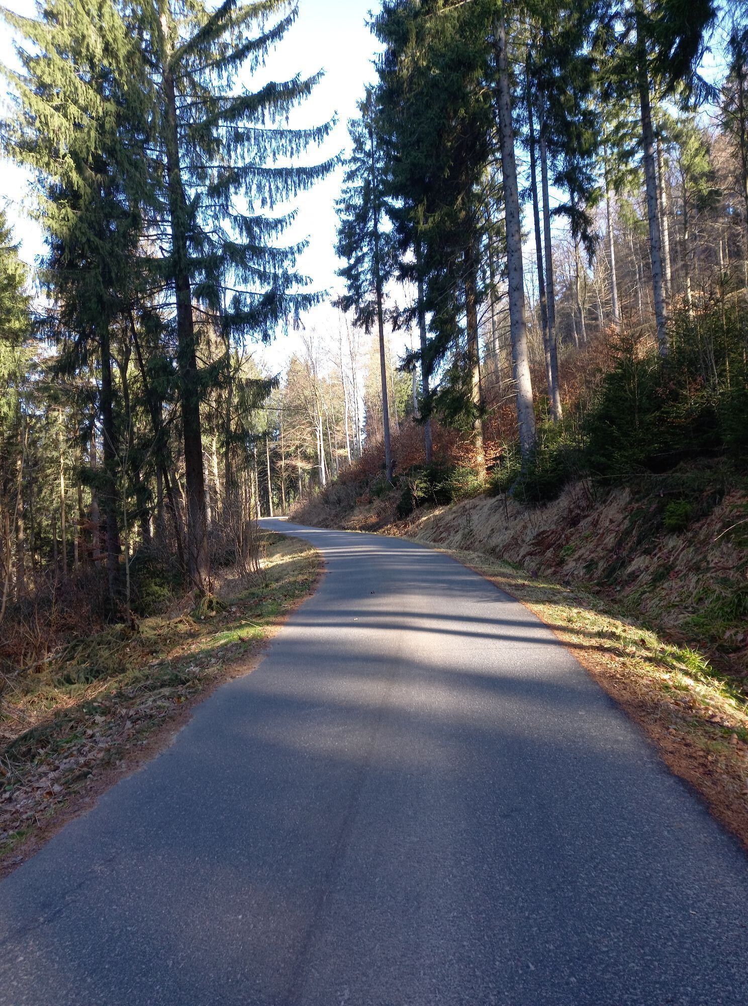

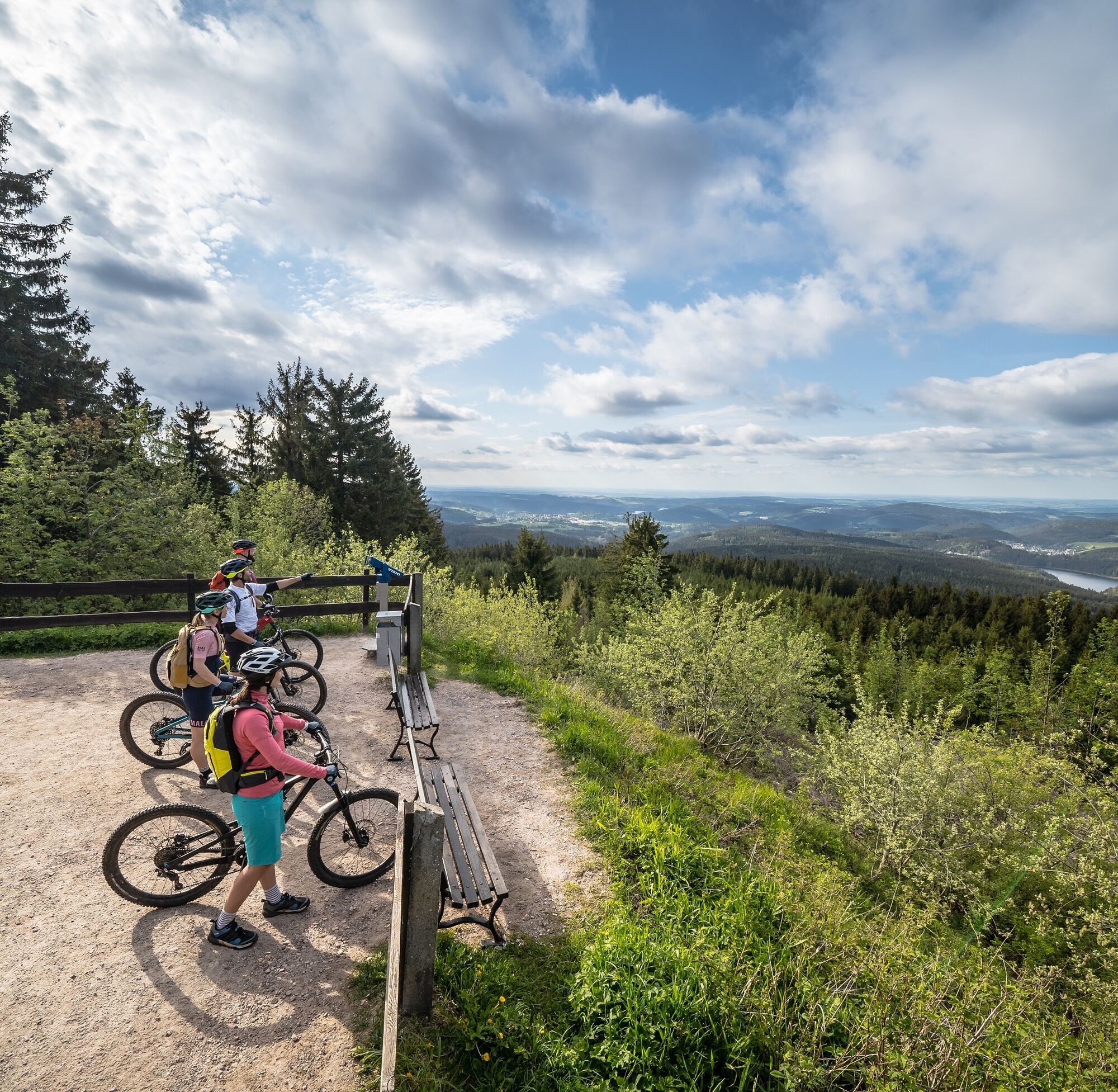
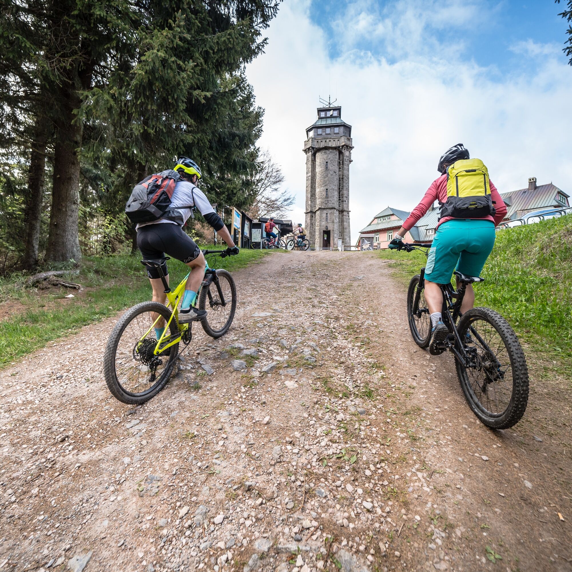
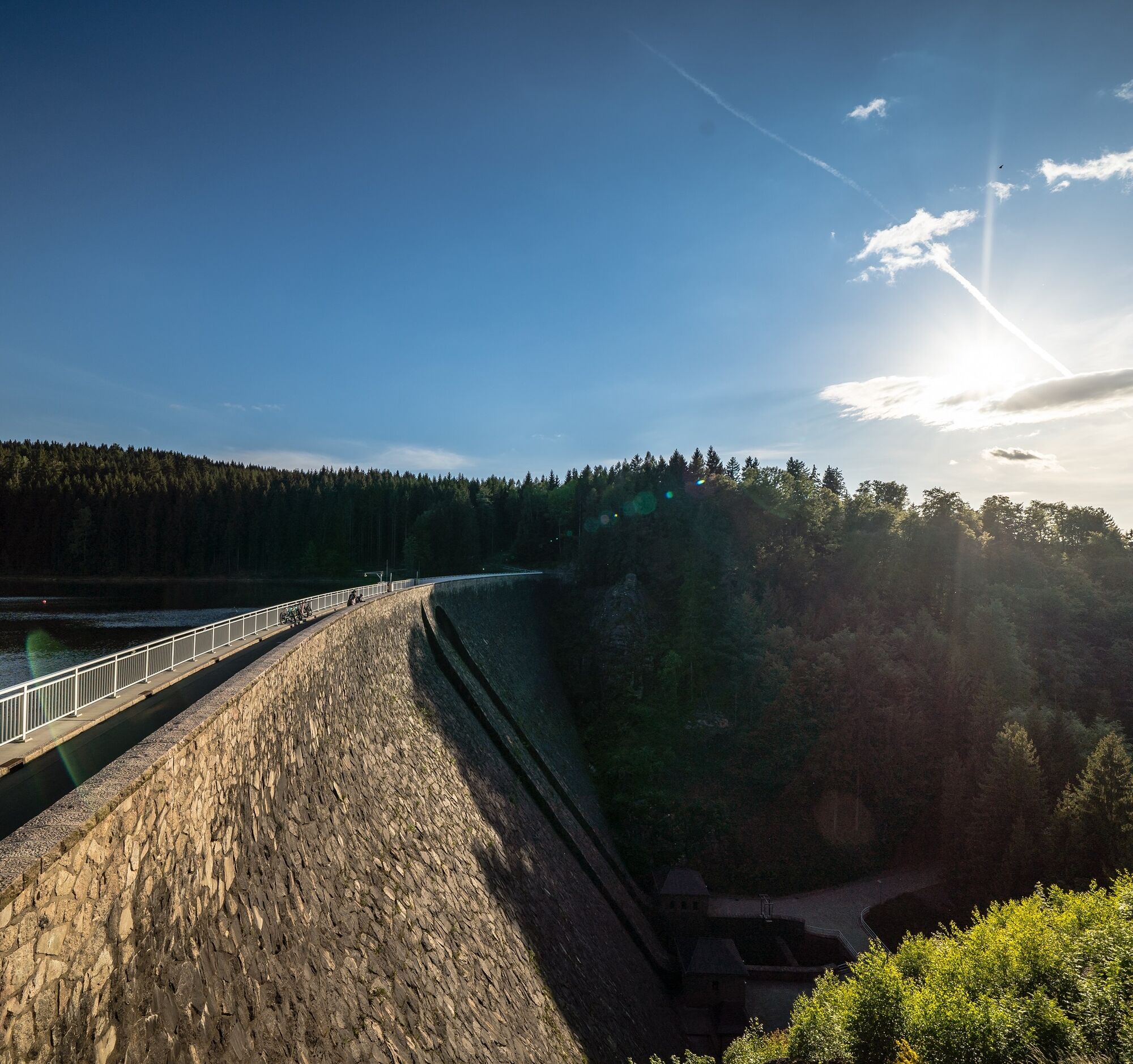
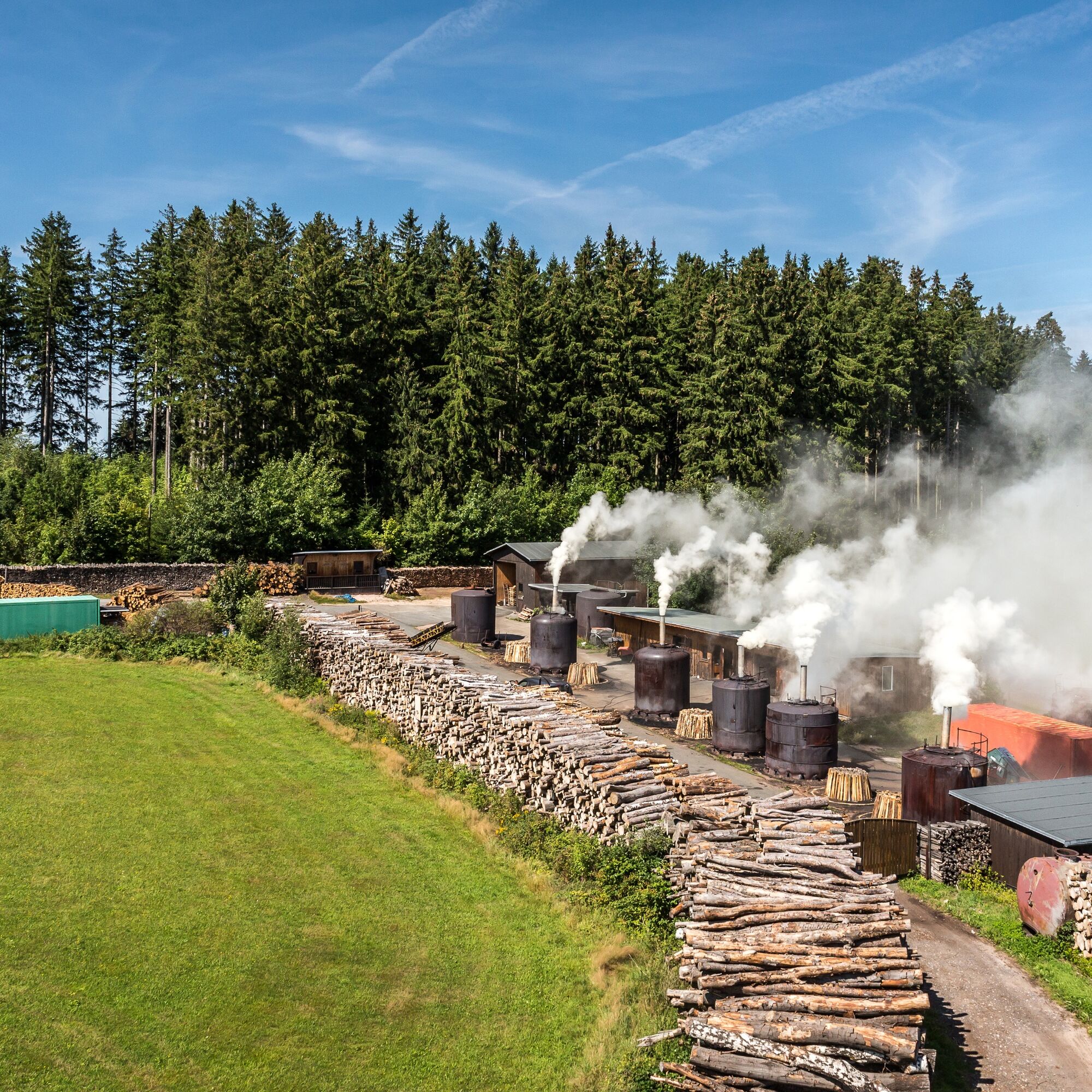

We start the tour in the center of the mountain and embroidery town of Eibenstock and continue along the Karlsroute "Auersbergrunde" down to the Bockautalweg and RSM. Upstream through the romantic valley of the Große Bockau, we pass through the hammer community of Wildenthal and follow the route left to Oberwildenthal until shortly before the border crossing. We branch off onto the Karlsroute "Auersbergrunde" and a section of the ridge tour to Johanngeorgenstadt, past the nature reserve and high moor Kleiner Kranichsee and the cross-country ski trail house to reach Neustadt. The mining town was heavily influenced by the Wismut mining industry. Mining safety and renaturation still play an important role today. On Eibenstocker Straße, we turn left uphill to Steinbach. On the "Auersbergrunde", which is also the "Euregio Egrensis" long-distance cycle route, we turn onto Sosaer Straße and follow the markings past the Friedrichsheider Hochmoor and Sosa dam into the charcoal-burning community. At the Hauptstraße/Bockauer Straße junction, we join the Mulde Valley Cycle Trail and follow the Auerbergrunde markings to Eibenstock and our destination at the tourist information office.
3
Webové kamery z prehliadky

Obľúbené výlety v okolí
-
Rundwanderung Talsperre Sosa
svetloTuristika 7,95 km -
4,0
Panorama trail Schwarzenberg
strednáTuristika 13,8 km -
5,0
At the Eibenstock dam / Hundshübler circular hiking trail
svetloTuristika 4,61 km -
Stoneman Miriquidi 162 kilometers of pure mountain bike emotion
ťažkéMountainbike 168,0 km -
2,0
Sosa Talsperre - Blauenthaler Wasserfall
ťažkéTuristika 9,03 km -
Segwayfahrt bei Eibenstock
svetloMountainbike 15,2 km -
5,0
Day route Ridge path 25 From Auersberg to the Carlsfeld dam and back
ťažkéTuristika 20,4 km -
4,5
Small Crane Lake
strednáTuristika 8,11 km -
3,0
At the Eibenstock reservoir / Marienweg
strednáTuristika 8,64 km -
30 km - Loop of the Three-Reservoir Marathon Eibenstock
strednáMountainbike 33,4 km
Turistika a stopovanie


Nenechajte si ujsť ponuky a inšpiráciu na ďalšiu dovolenku
Vaša e-mailová adresa bol pridaný do poštového zoznamu.





