







3-day hike in Hüttschlag
Úroveň náročnosti: T3
Day 1:
From the town center in Hüttschlag, a forest road (or alternatively the old Hubalm hiking trail) leads through the high forest. Shortly before leaving the forest, there is a small chapel on the...
Day 1:
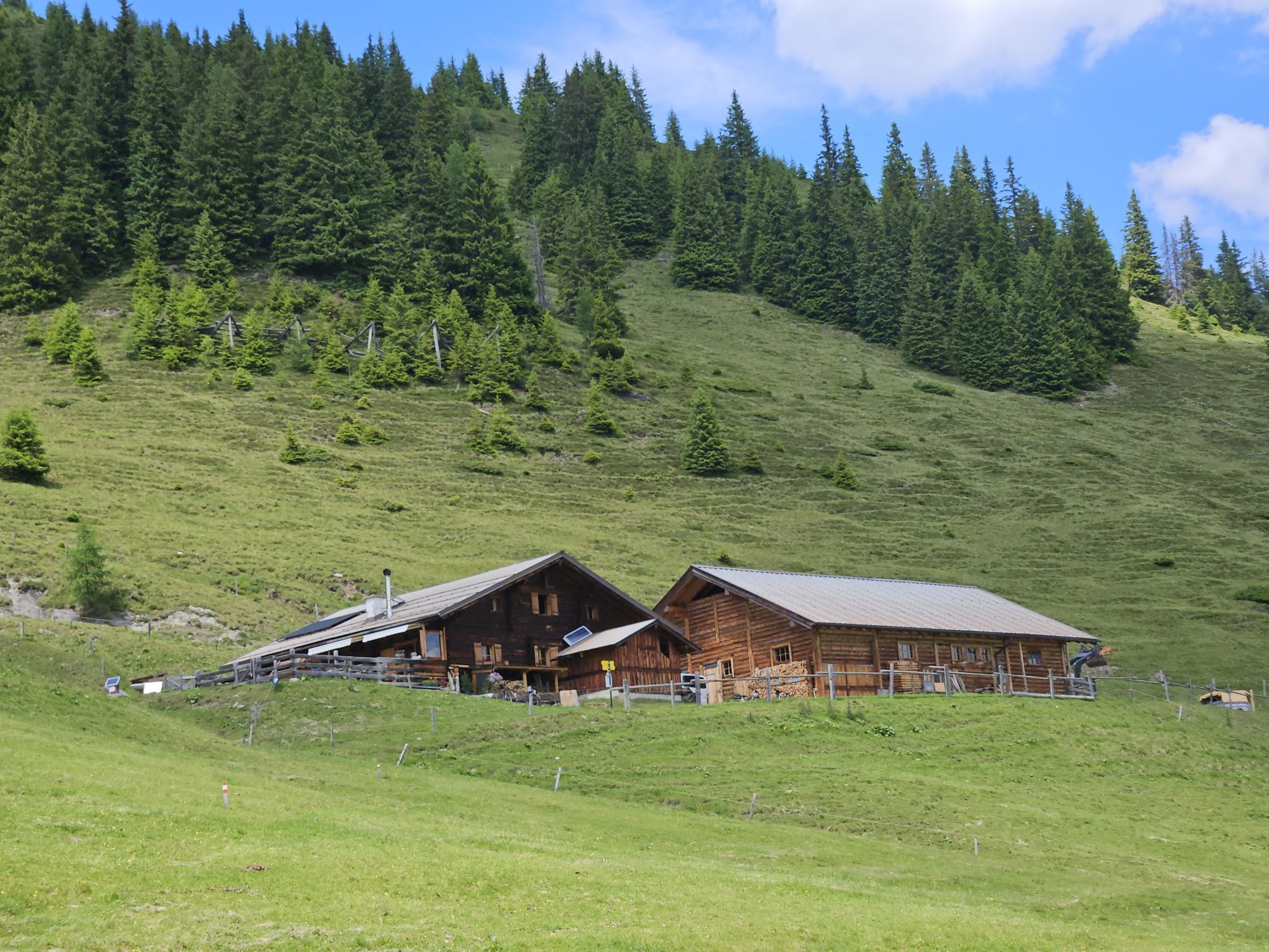
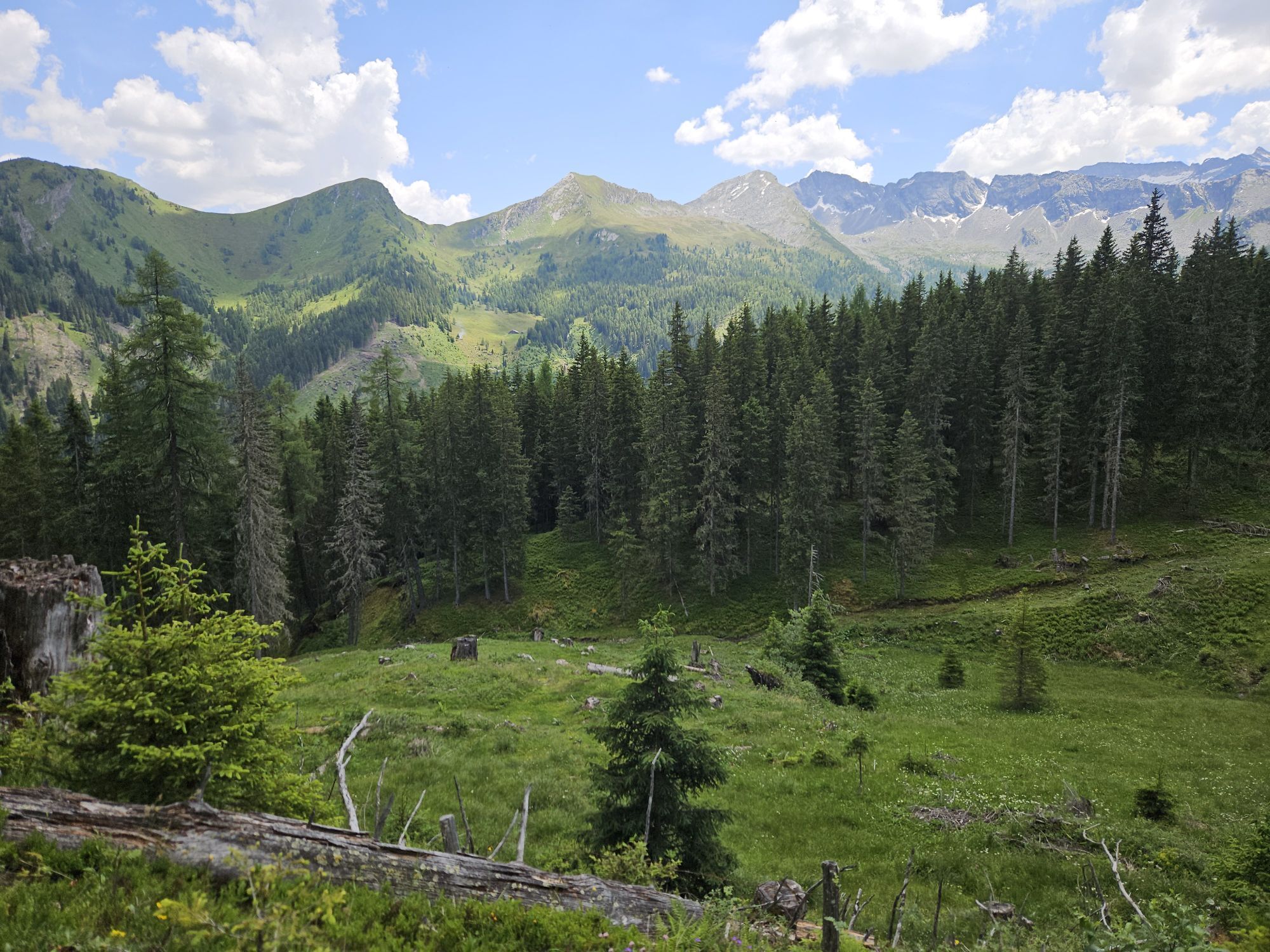
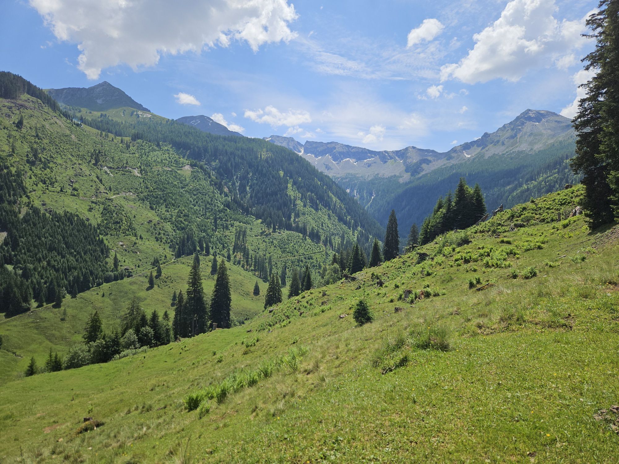
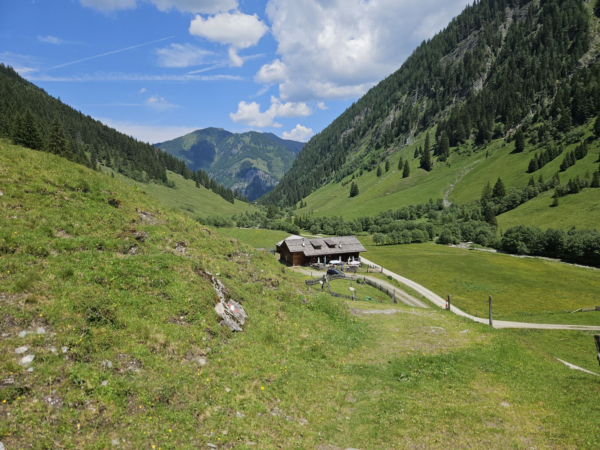
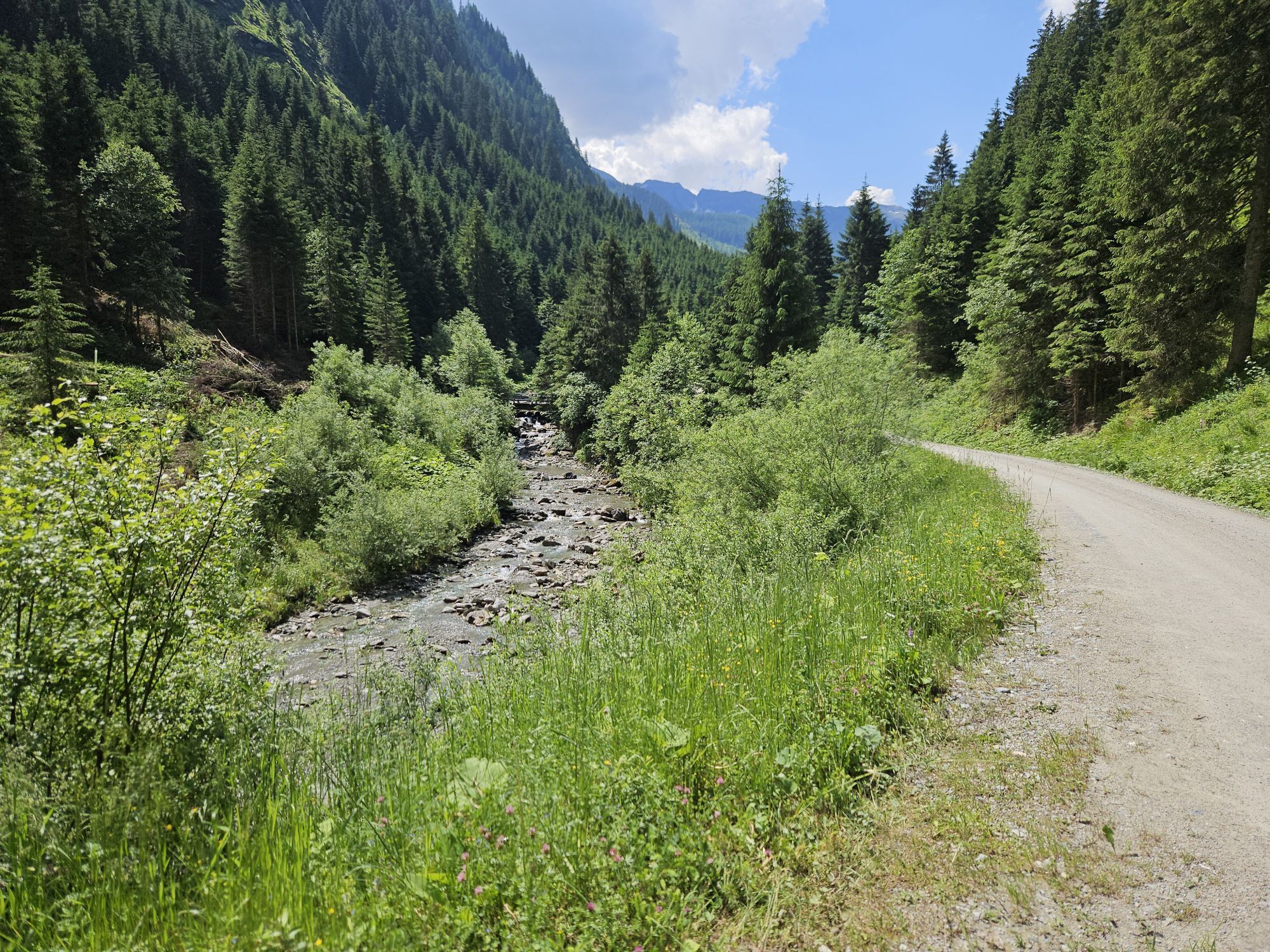
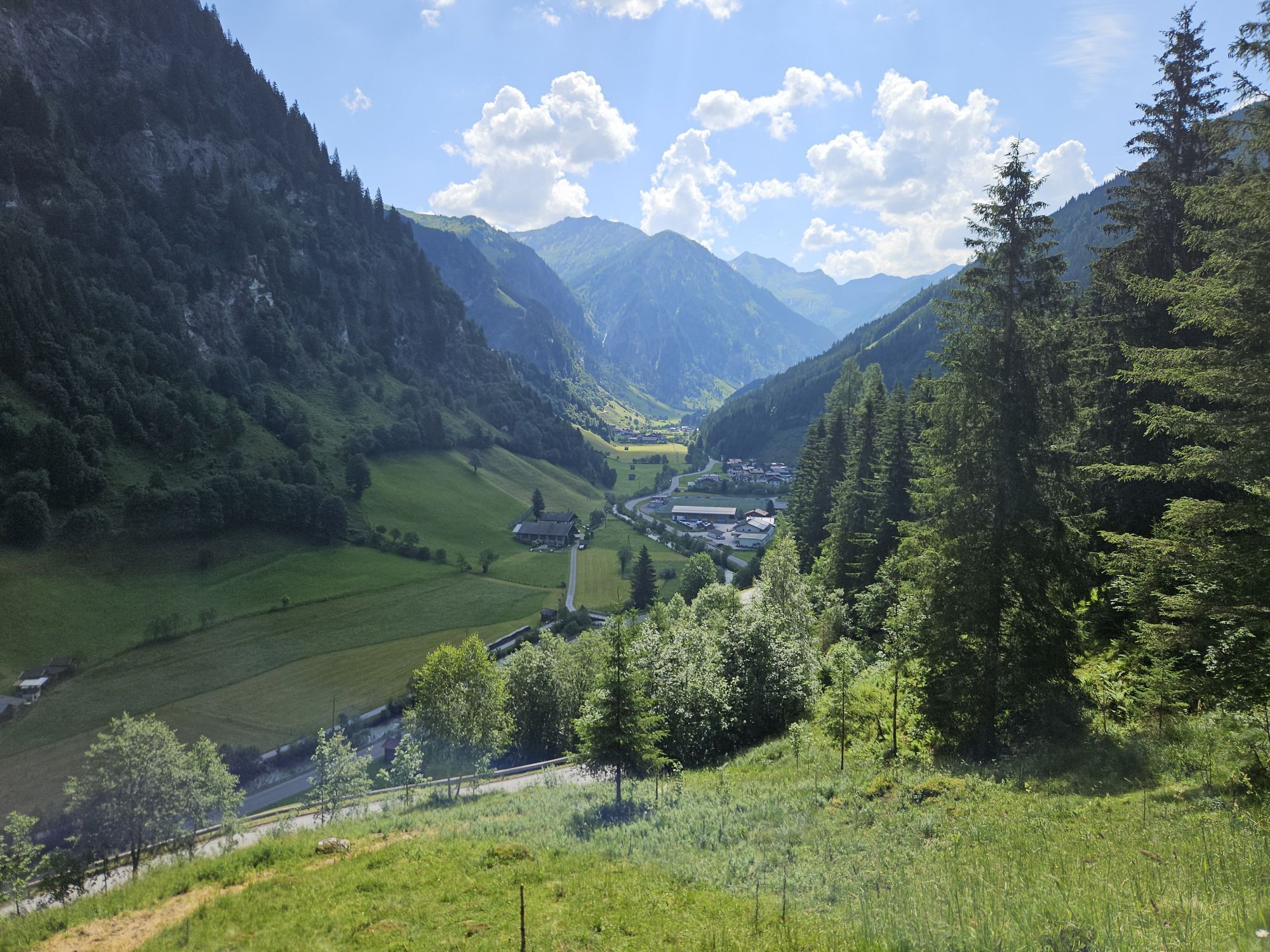
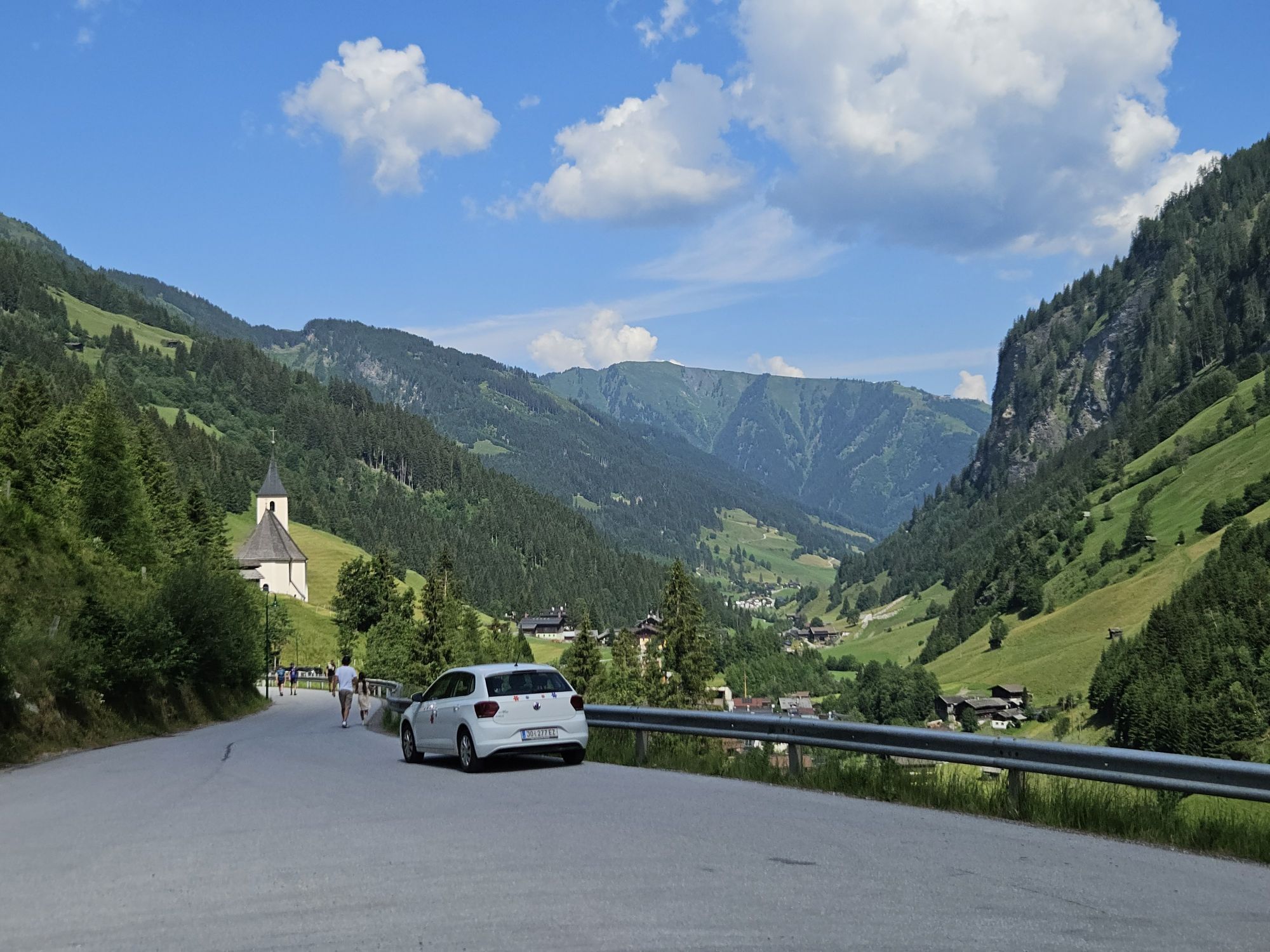
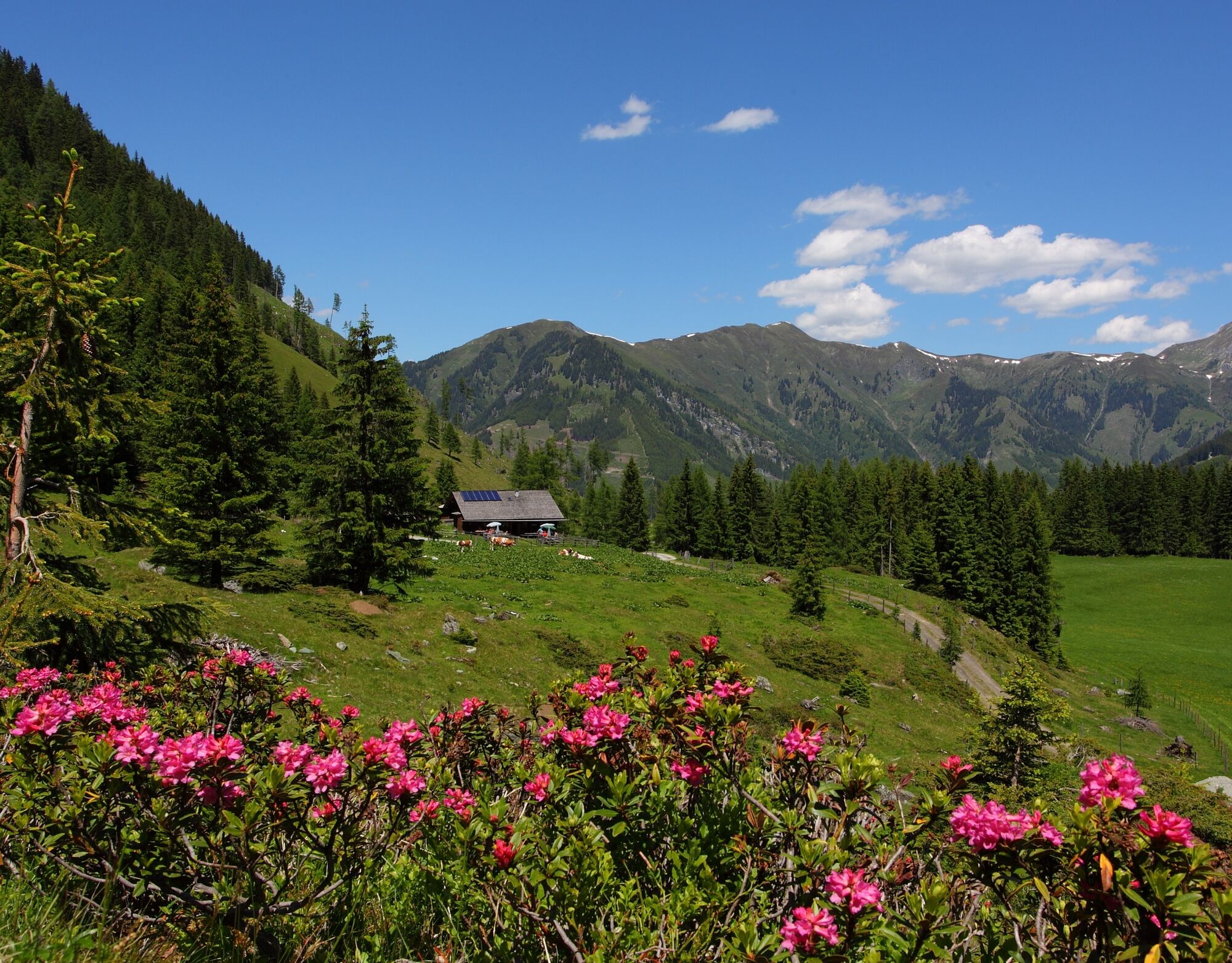
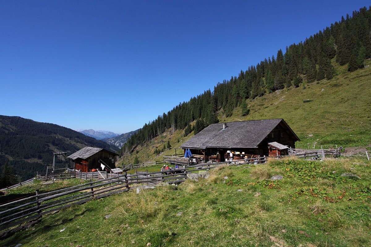
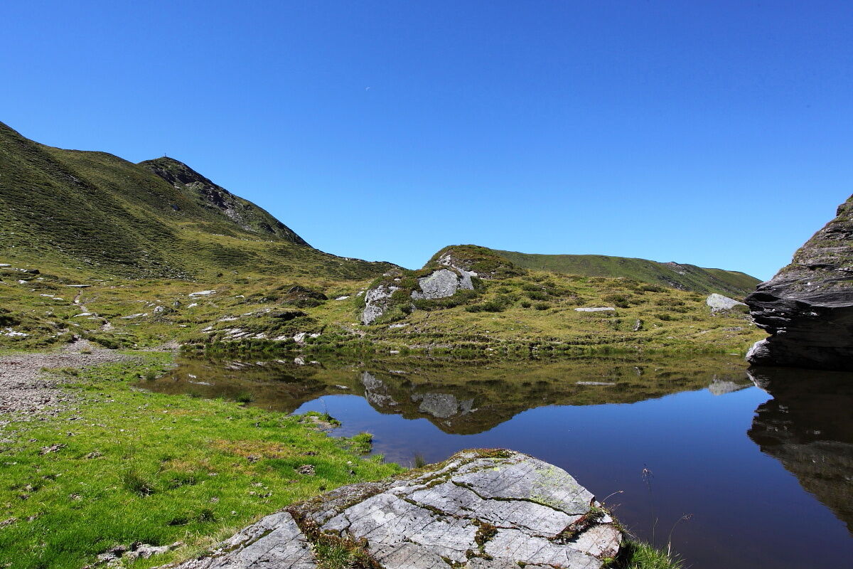
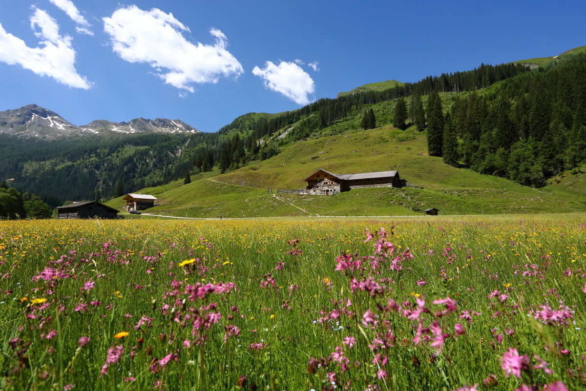
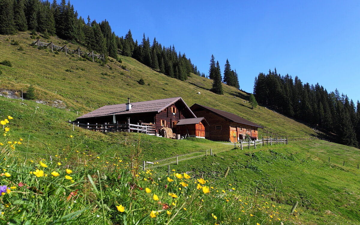
From the town center in Hüttschlag, a forest road (or alternatively the old Hubalm hiking trail) leads through the high forest. Shortly before leaving the forest, there is a small chapel on the right side. Shortly before the chapel, you must take the path on the left side. At a pond shortly before the Hirschgrubenalm, a resting place was created in 2005 by students of the Hauptschule Großarl. The first opportunity to rest and refresh with products from their own production is the Hirschgrubenalm. From there, continue on a rustic, natural alpine trail to Aschlreitalm (not managed). From here, through an open alpine area on the path uphill to the ridge that offers a magnificent view of the glacier of the Keeskogel, 2,884 m, the highest mountain in the entire Großarltal. The path over the Hühnerkarscharte leads to the Hühnerkaralm. Delicacies from their own production are served to the hikers.
Day 2:
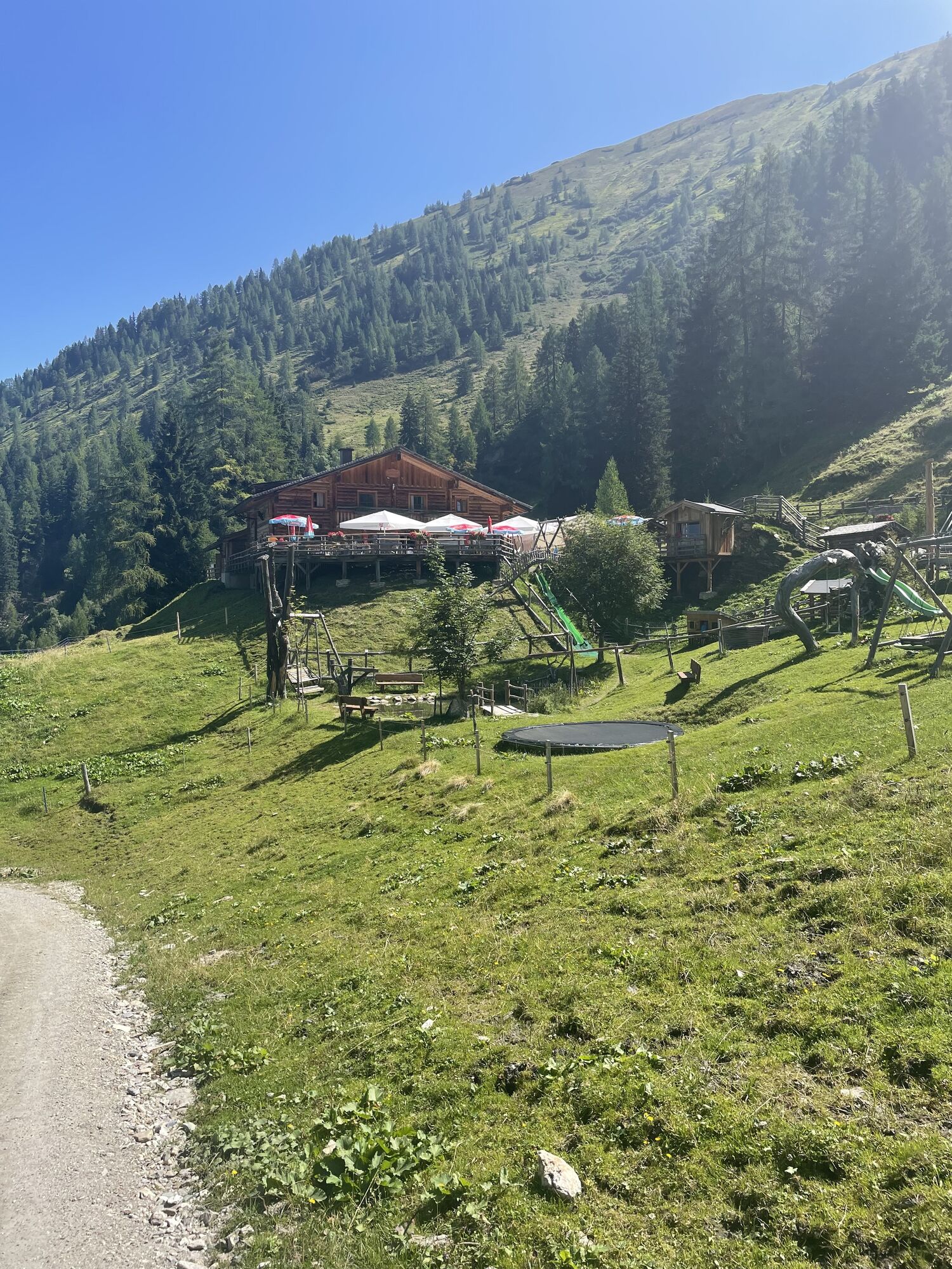
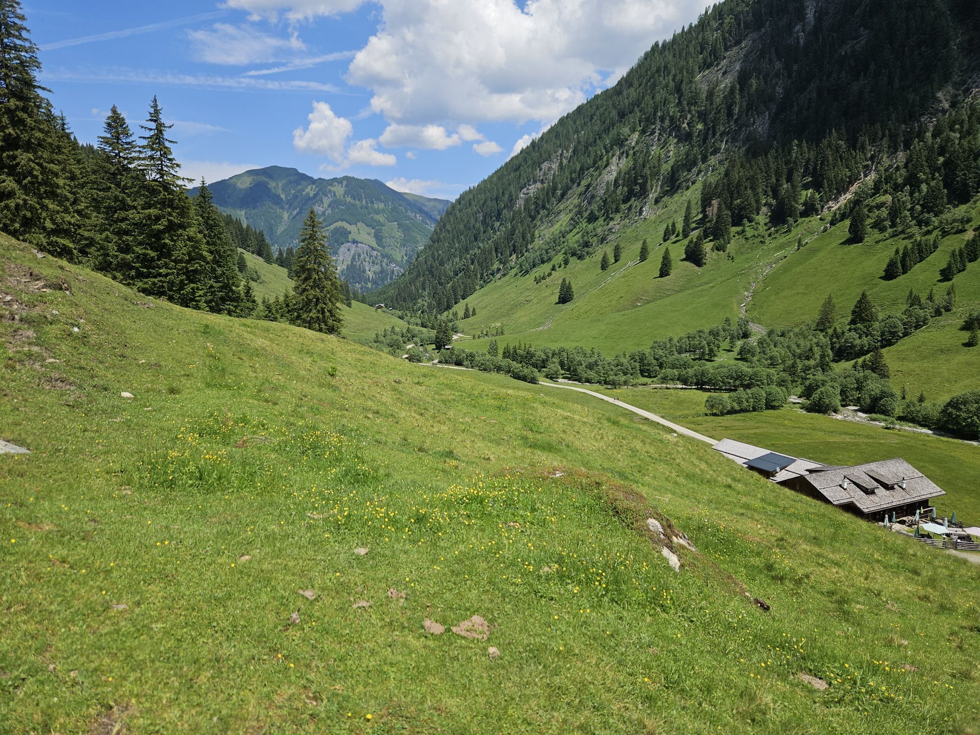
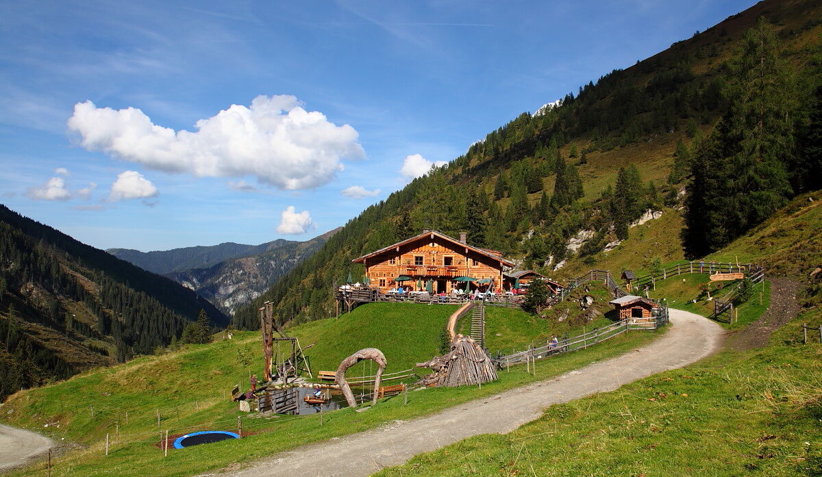
The next day, it goes a little steeper downhill to the Hubalm. Then ascent to the Vorderkaseralm and the Roßkarkopfscharte. Descent to the Reitalm, where a large playground with a pond and petting animals awaits the children. For the adults, there is a good snack with homemade delicacies like bread, butter, cheese, bacon, or sausage. Of course, a shot of homemade schnapps is not to be missed.
Day 3:
On the last day, take the pleasant hiking path back to Hüttschlag to the starting point.

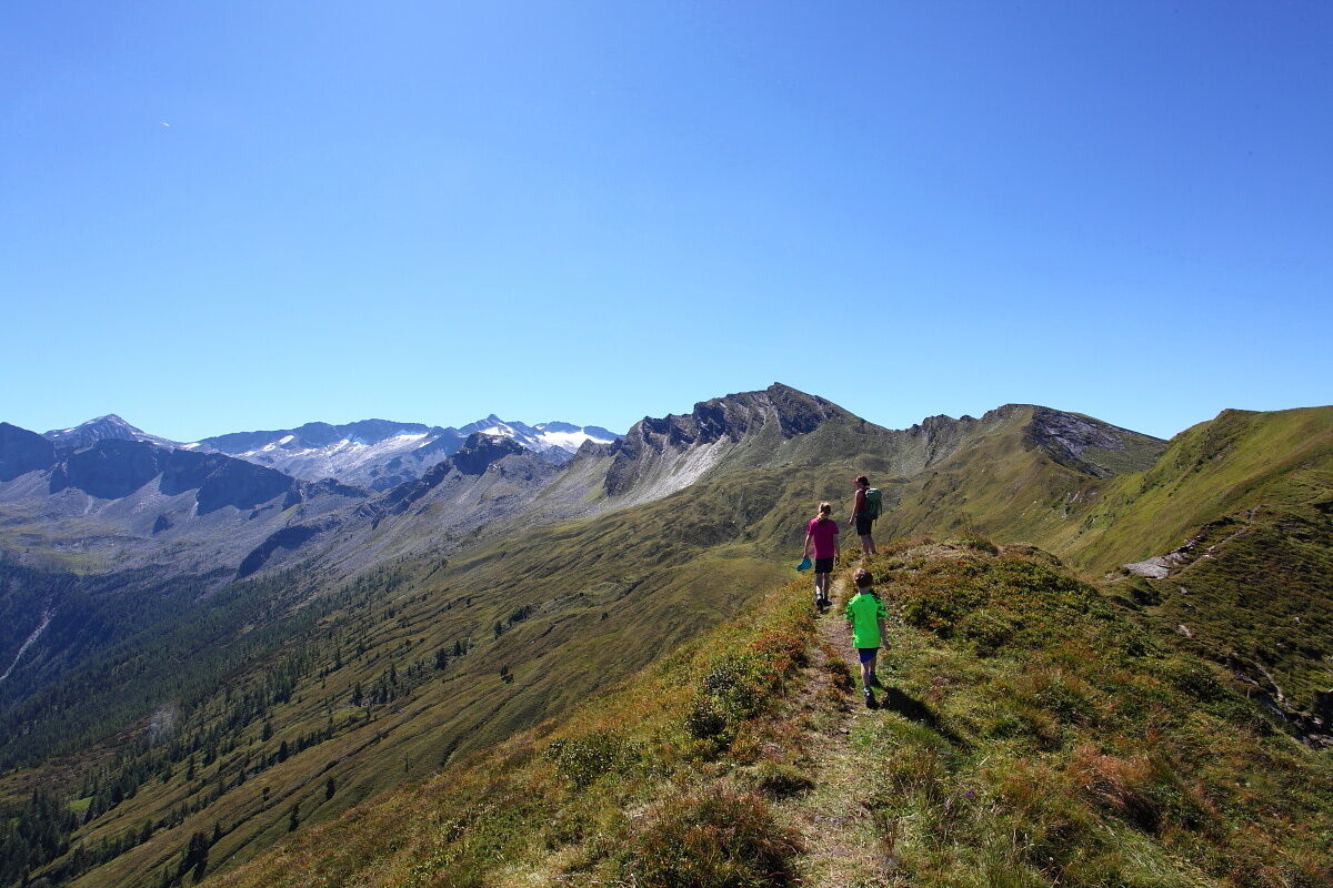
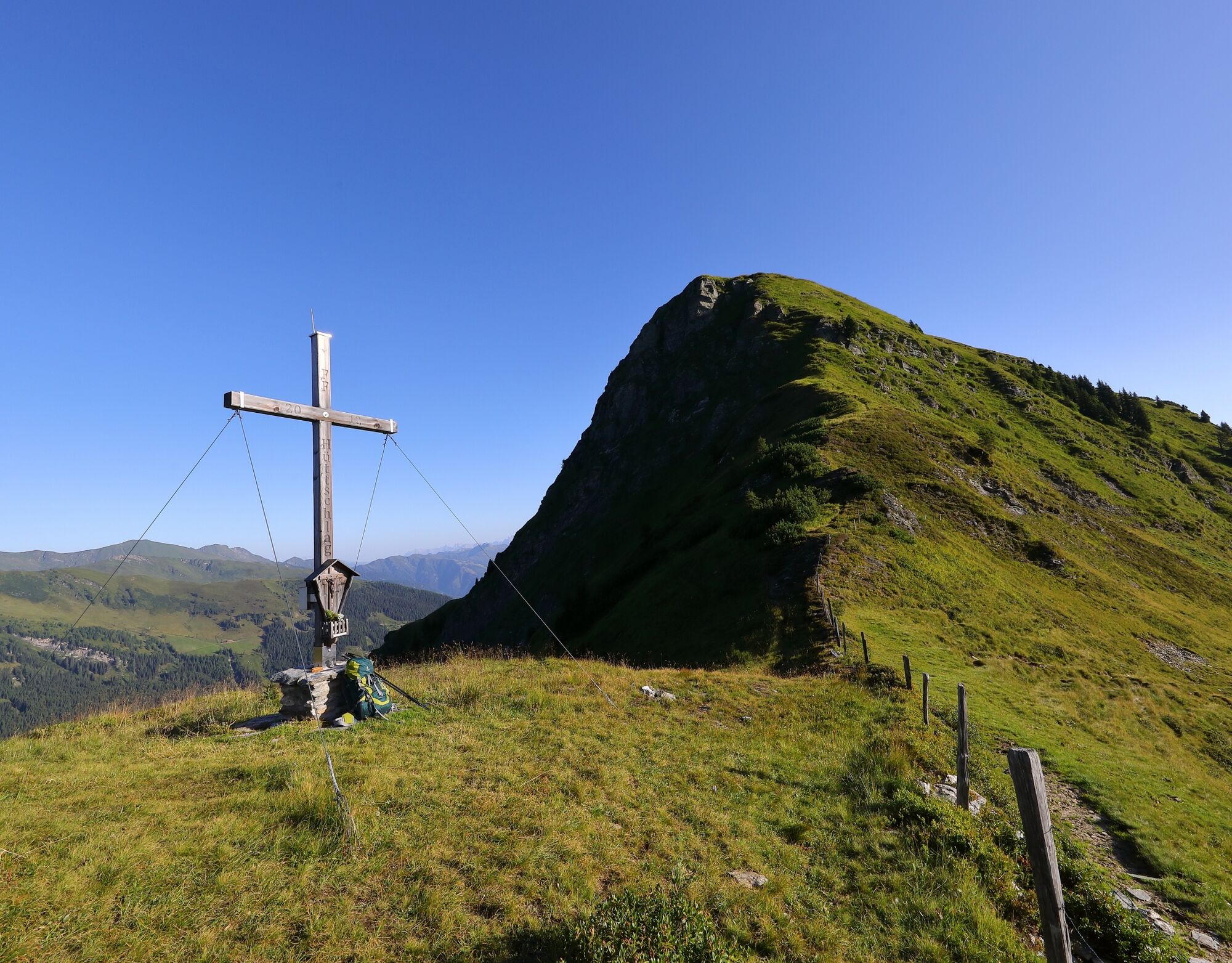

Day 2: The next day descent along trail no. 46 to Hubalm, 1,311 m (approx. 1 h). Ascent along trail no. 45A to Vorderkaseralm, 1,719 m (approx. 1 h). Ascent to the Roßkarkopfscharte (approx. 1 3/4 h). Descent along trail no. 44 to Reitalm, 1,600 m (approx. 1 h). Overnight stay at Reitalm. Total walking time: approx. 4 3/4 hours
Day 3: Descent along trail no. 44 to Hüttschlag to the starting point of the route (approx. 1 1/2 h). Total walking time: approx. 1 1/2 hours
Áno
Hiking boots with profiled sole, some fruit, drinks (bottles for refilling), wind and rain protection, toiletries, warm clothing and change of clothes, flashlight, mini first aid kit, hiking map, sunscreen, chocolate or muesli bars, …
Drive by car or Wandertaxi to the Hubalmweg parking lot. Alternatively, you can take Postbus no. 540 to the Hüttschlag Ortsmitte bus stop.
Parking above the elementary school in Hüttschlag (Hubalmweg parking lot)
T3
A huge playground with a pond and many petting animals awaits you at Reitalm.
 Získajte prehľad
Vždy naživo na mieste s viac ako 9 500 webovými kamerami. bergfex Ako používateľ Pro si teraz môžete pozrieť príslušné webové kamery pre mnohé zájazdy v aplikácii zájazdy z. Môžete si tak priamo prezerať aktuálne podmienky.
Získajte prehľad
Vždy naživo na mieste s viac ako 9 500 webovými kamerami. bergfex Ako používateľ Pro si teraz môžete pozrieť príslušné webové kamery pre mnohé zájazdy v aplikácii zájazdy z. Môžete si tak priamo prezerať aktuálne podmienky.

Obľúbené výlety v okolí
-
5,0
Hüttschlag: Karteistörl - Tappenkarsee - Draugsteintörl - Draugsteinalmen
strednáTuristika 13,5 km -
4,9
Großarl: Aualm - Liechtensteinkopf - Aukopf - Schuhflicker - Schuhflickersee
strednáTuristika 5,84 km -
4,2
Tappenkarsee Kleinarl
strednáTuristika 9,11 km -
4,9
Großarl: Alpine pasture circuit in Ellmautal
strednáTuristika 9,69 km -
4,7
Großarl: Saukaralm - Saukarkopf - Gerstreitalm
strednáTuristika 9,39 km -
4,5
Gasteiner Höhenweg von Bad Gastein nach Bad Hofgastein
svetloTuristika 8,58 km -
4,5
Mountain route from the Kötschachtal to the natural jewel Reedsee
strednáTuristika 12,5 km -
4,8
Großarl: Bichlalm
strednáMountainbike 18,9 km -
4,4
"Elendrunde" Kleinelend Valley - Zwischenelendscharte - Großelend Valley
strednáTuristika 21,9 km -
4,8
Wanderung zur Schwussner Hütte
svetloTuristika 8,07 km
Turistika a stopovanie


Nenechajte si ujsť ponuky a inšpiráciu na ďalšiu dovolenku
Vaša e-mailová adresa bol pridaný do poštového zoznamu.





