






🥾 Pinzga Hatscher – Variant D: Zell am See → Saalbach
Úroveň náročnosti: T1
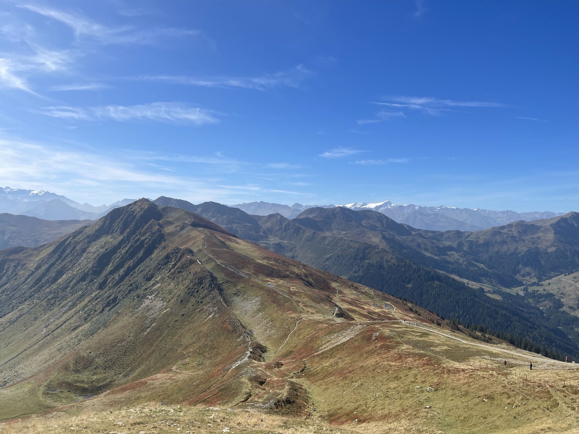
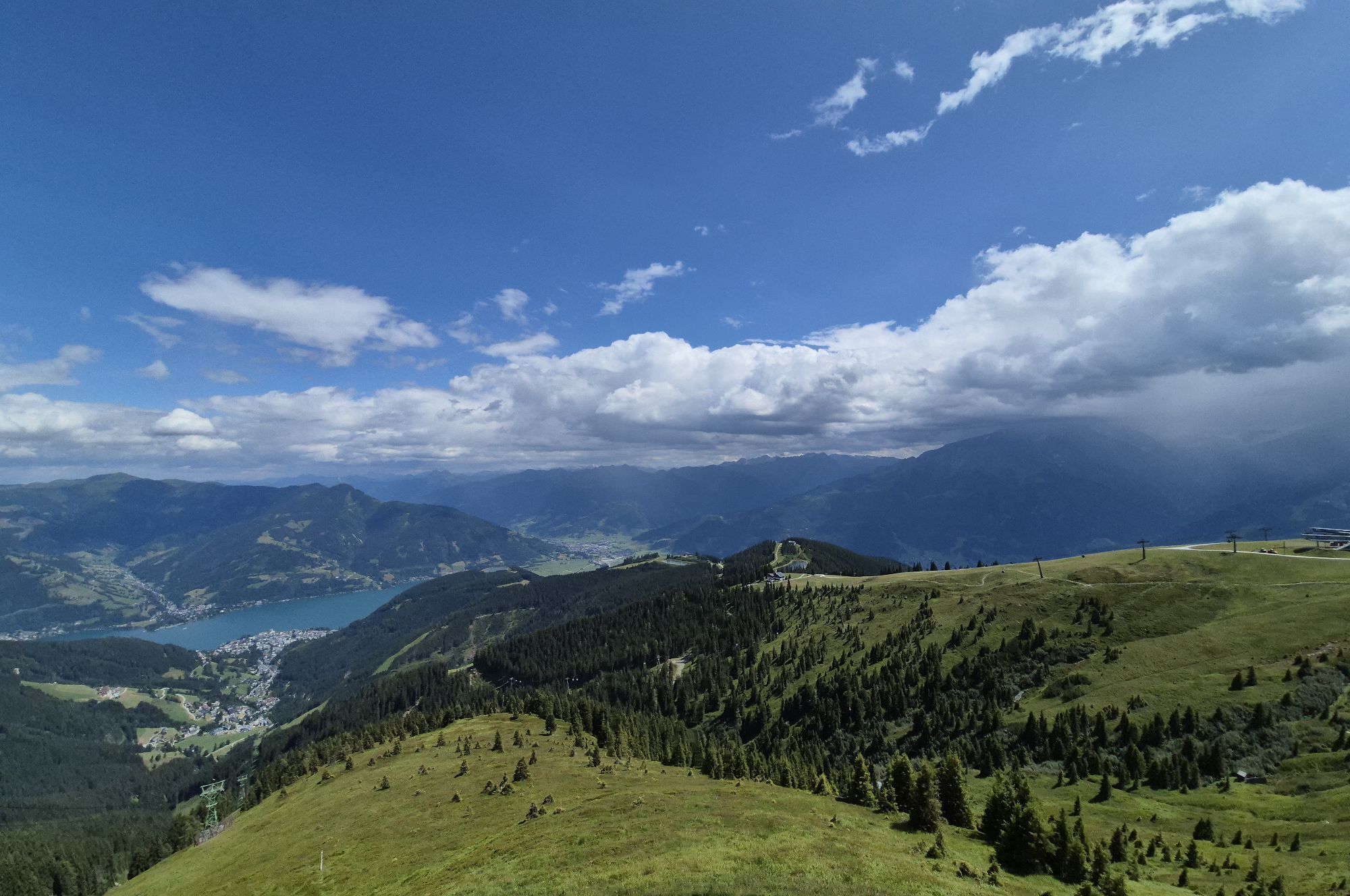
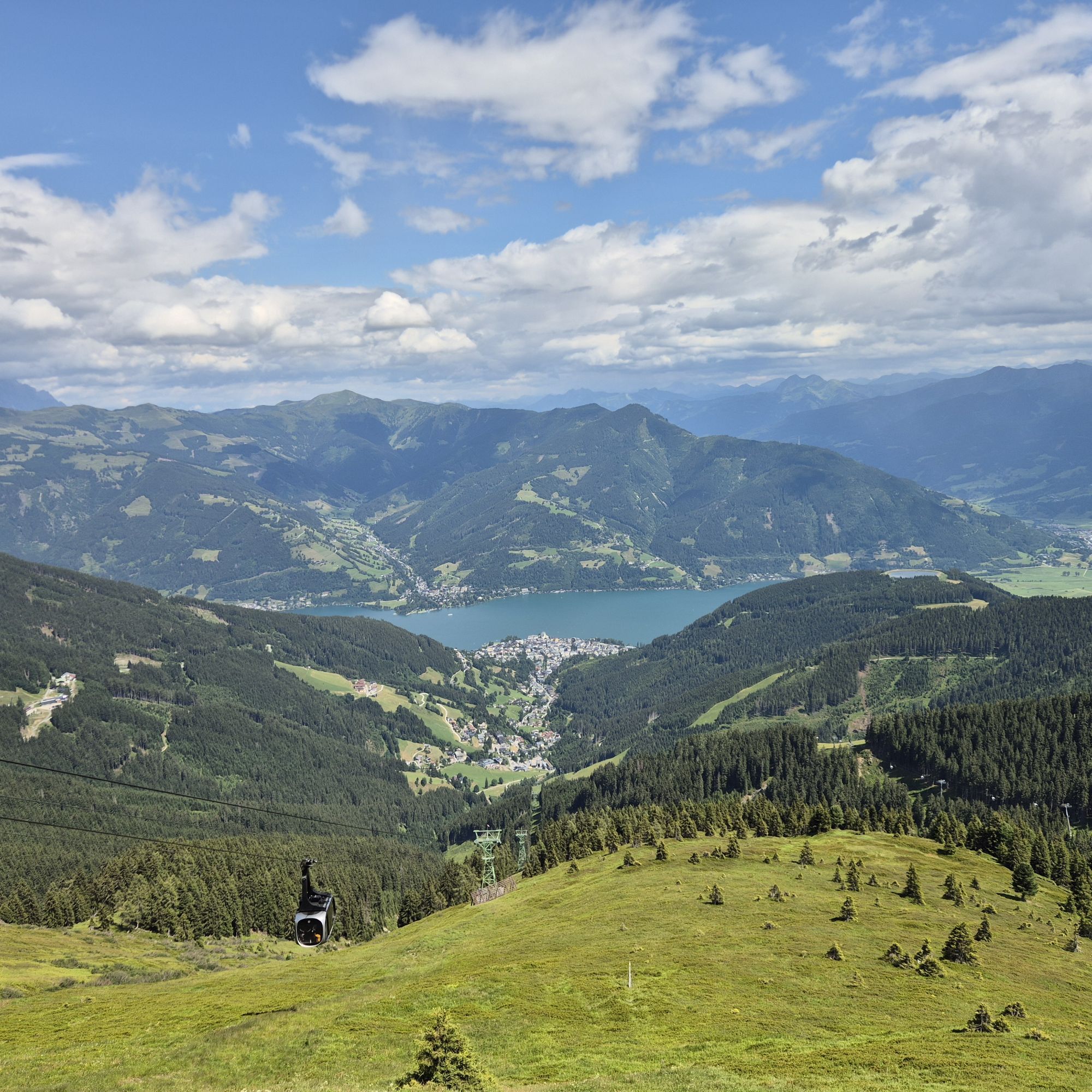
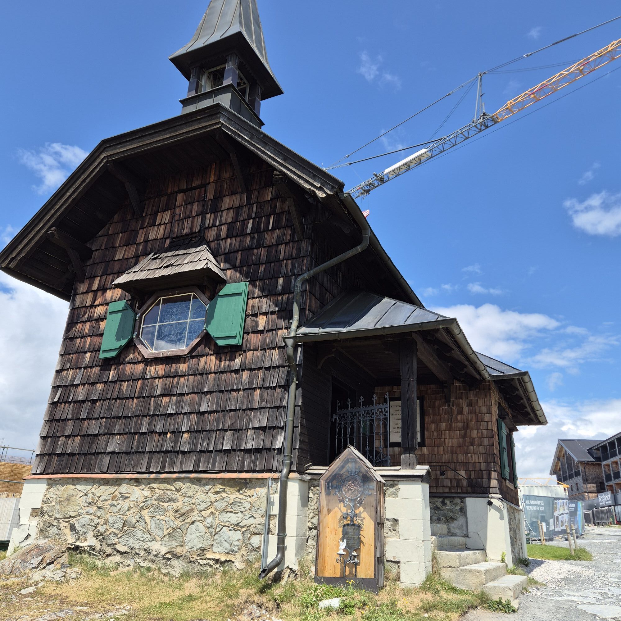
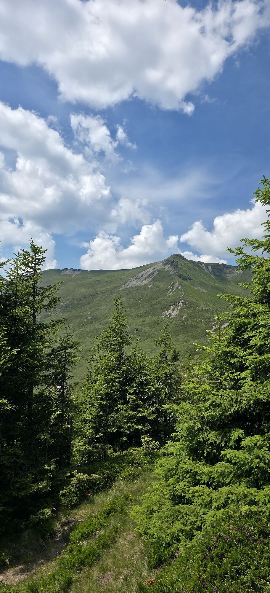
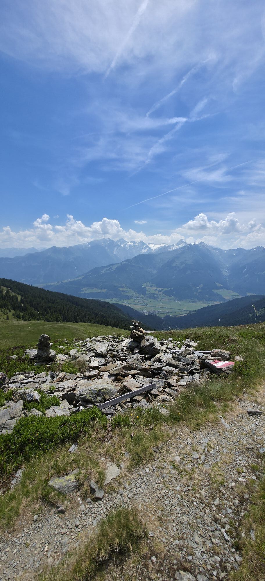
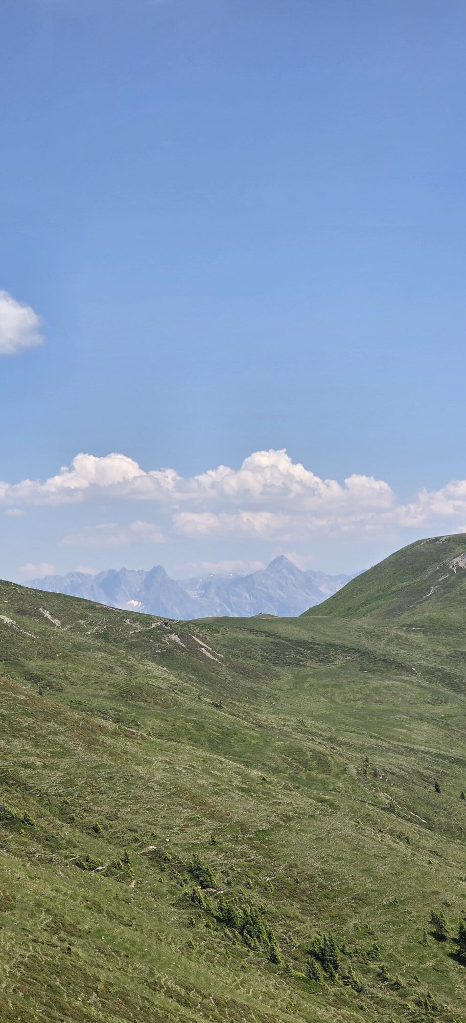
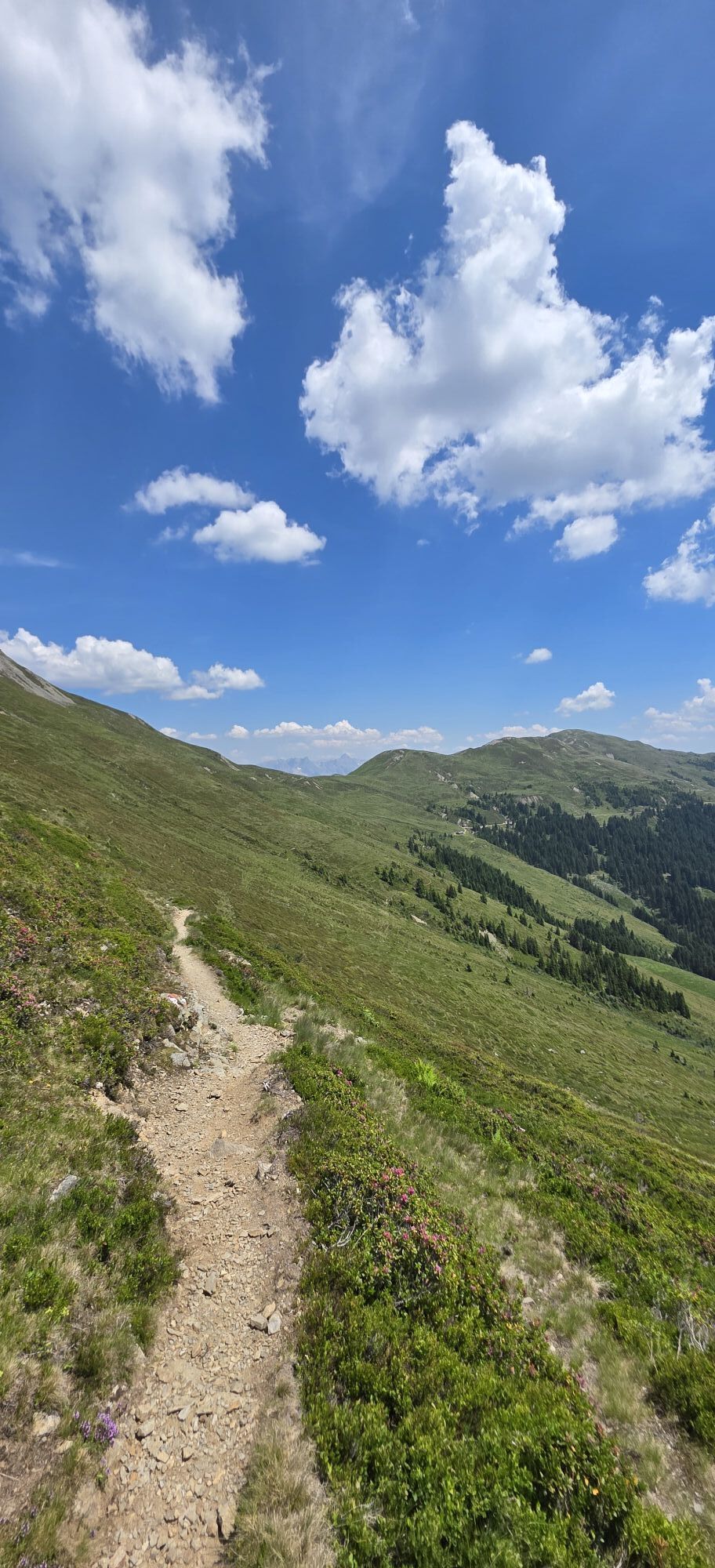
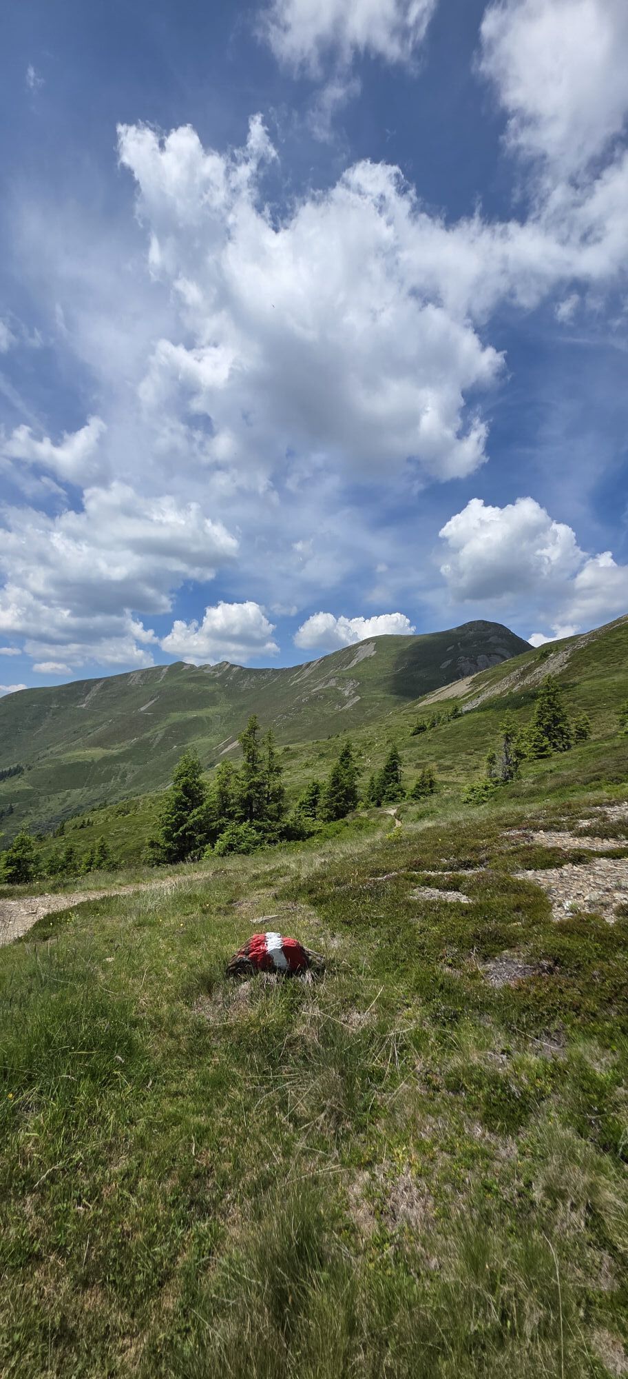
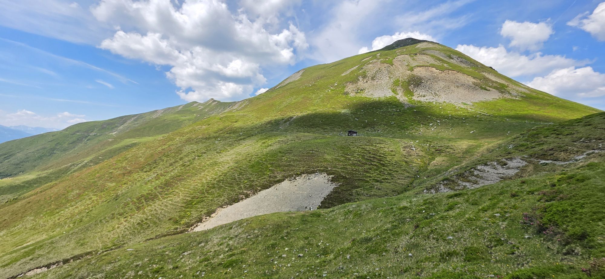
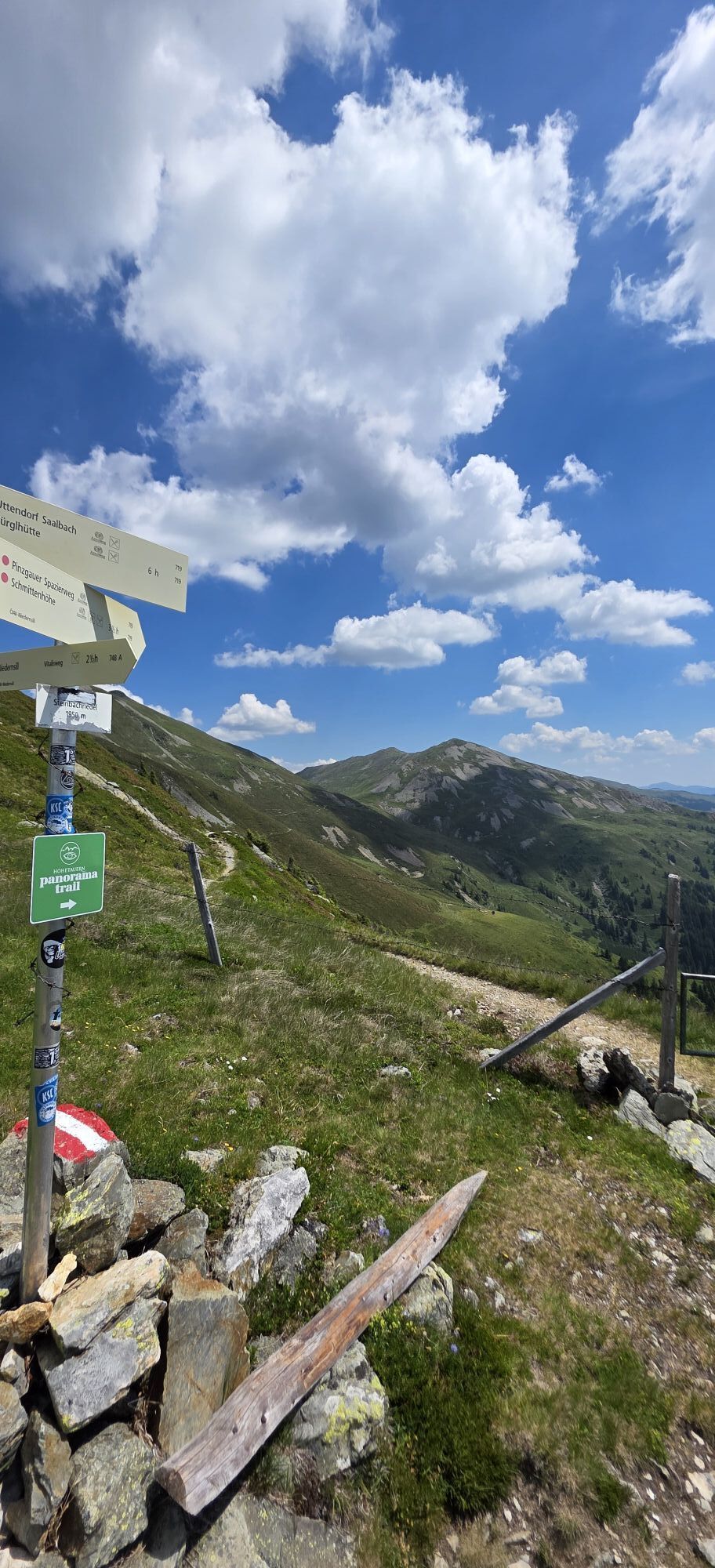
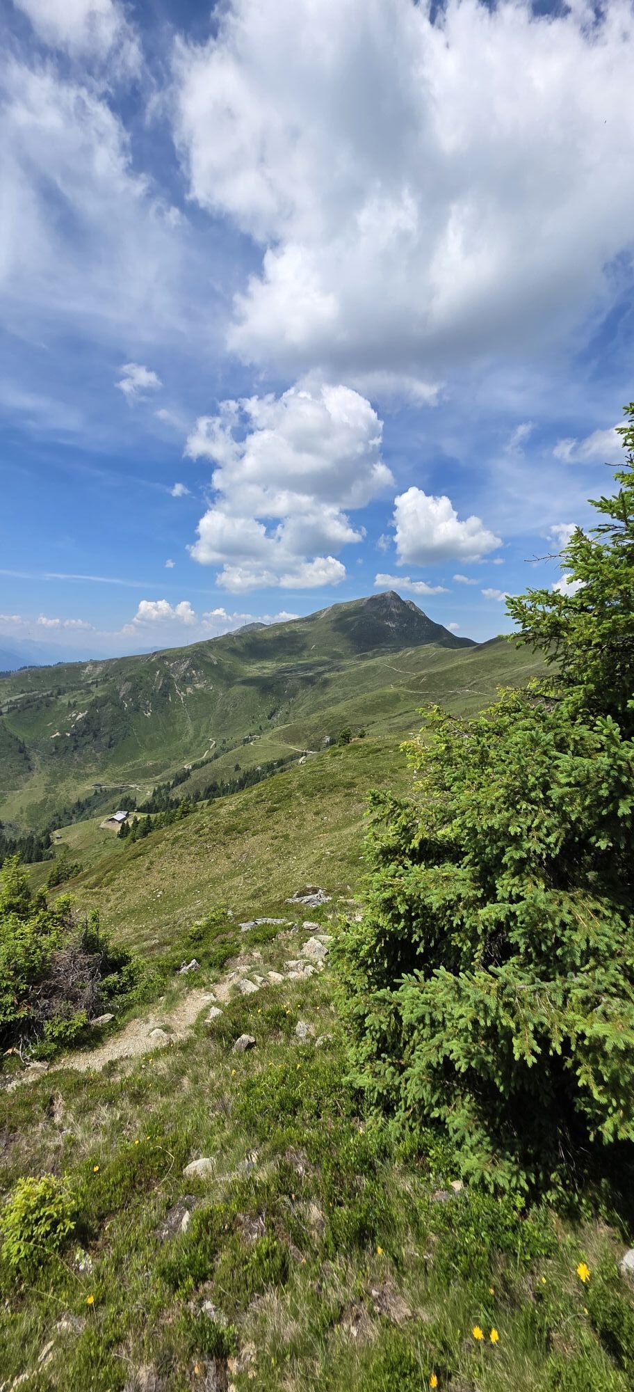
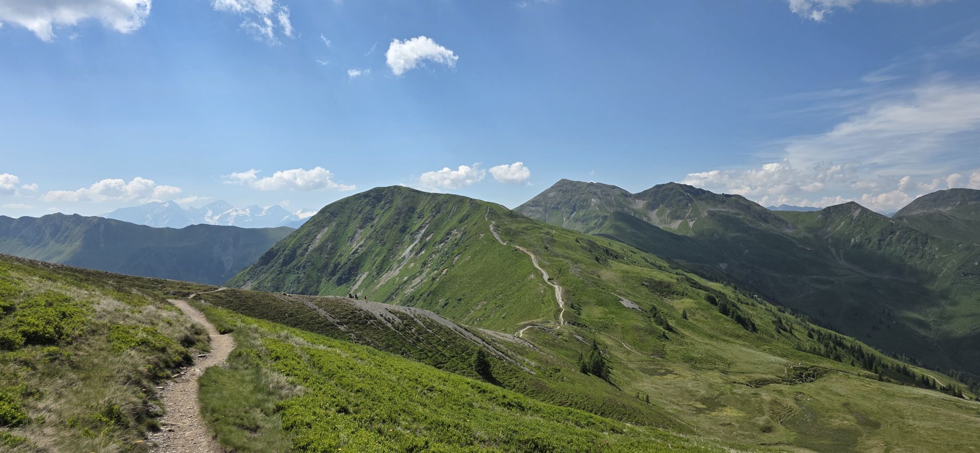
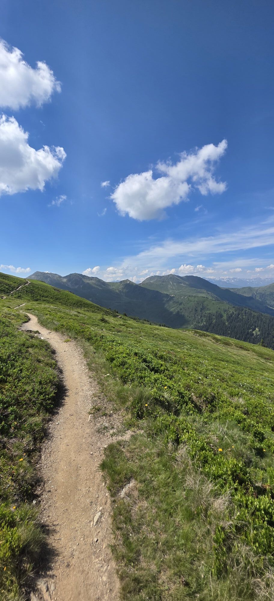
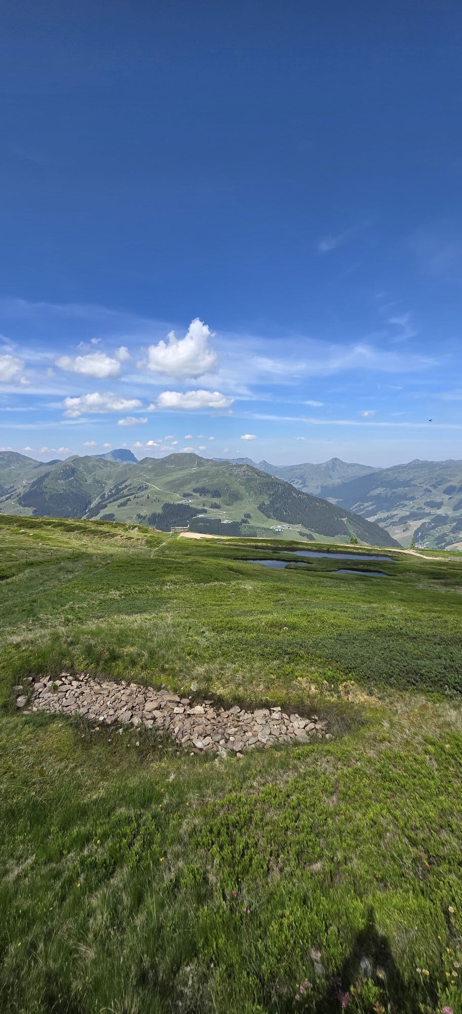
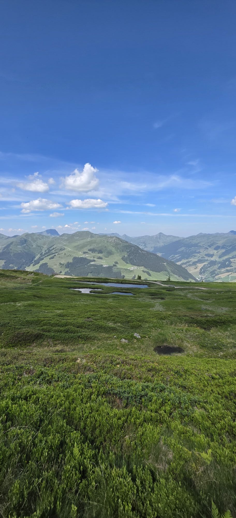
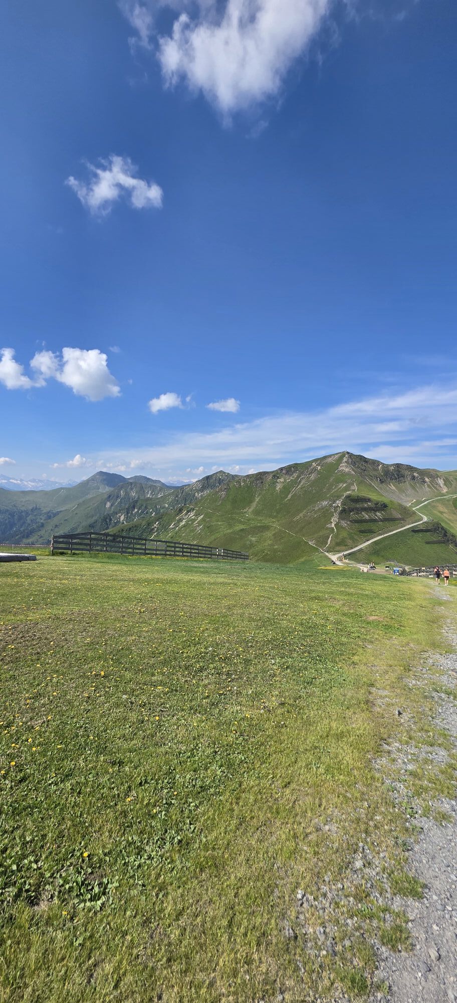
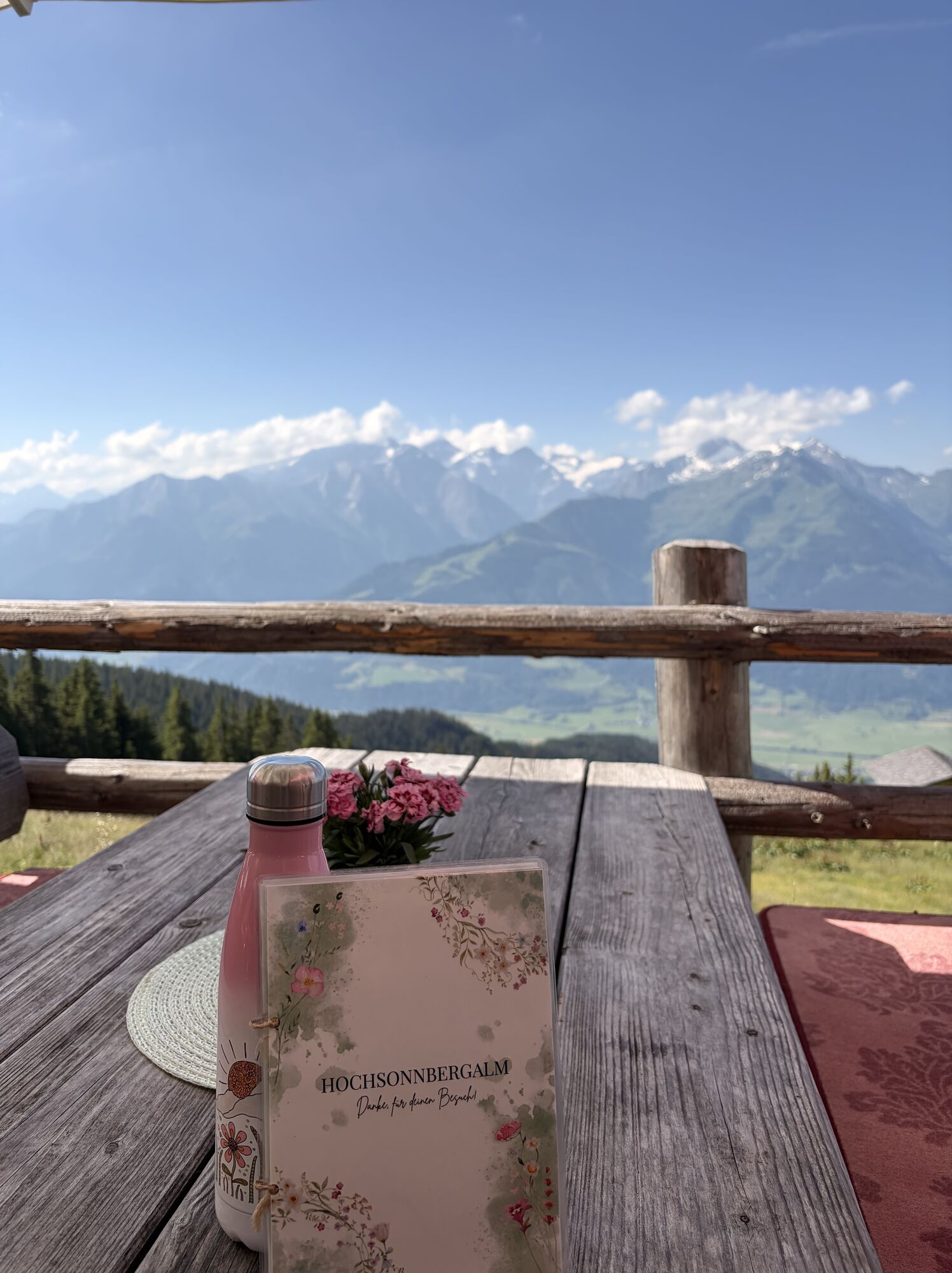
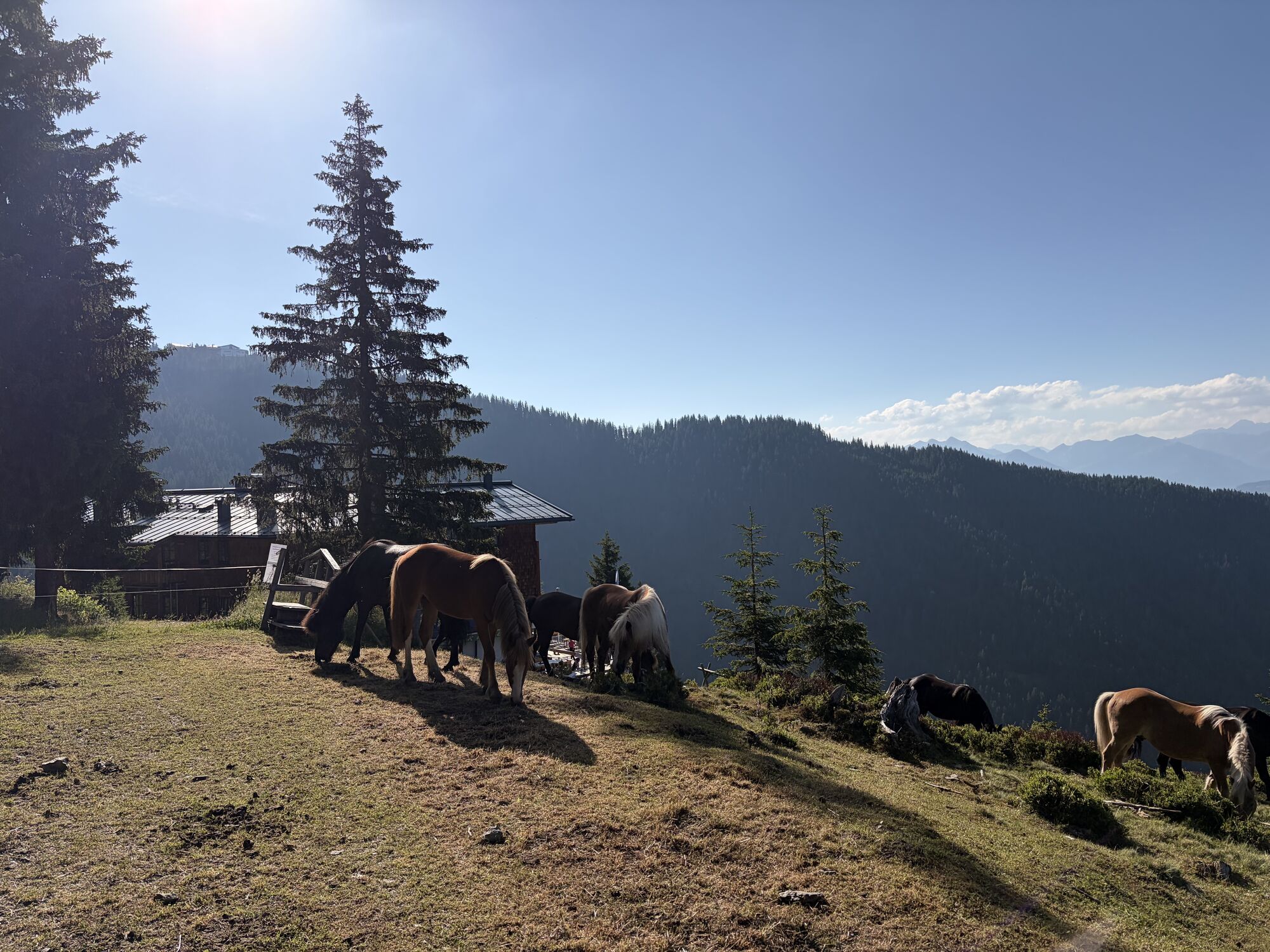
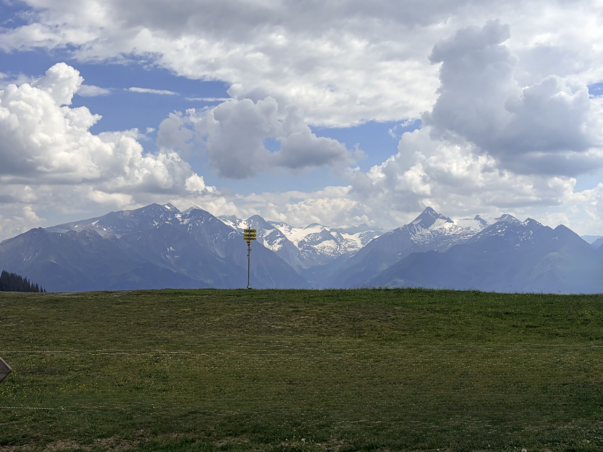
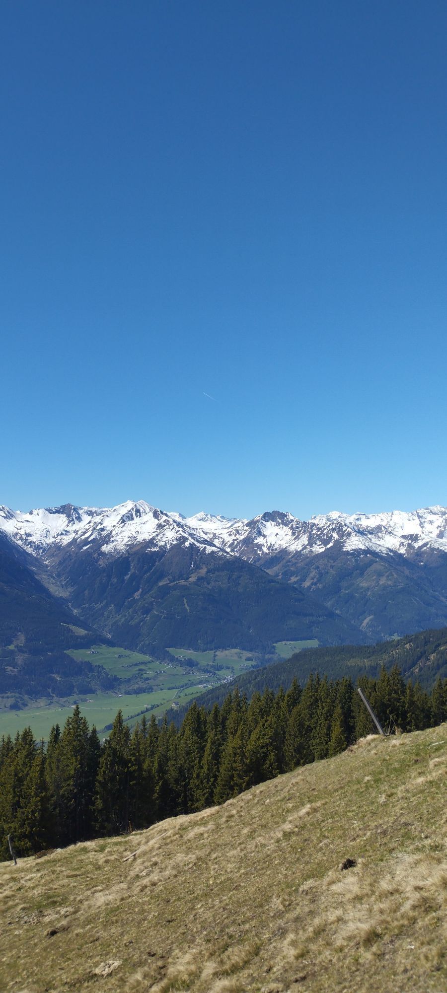
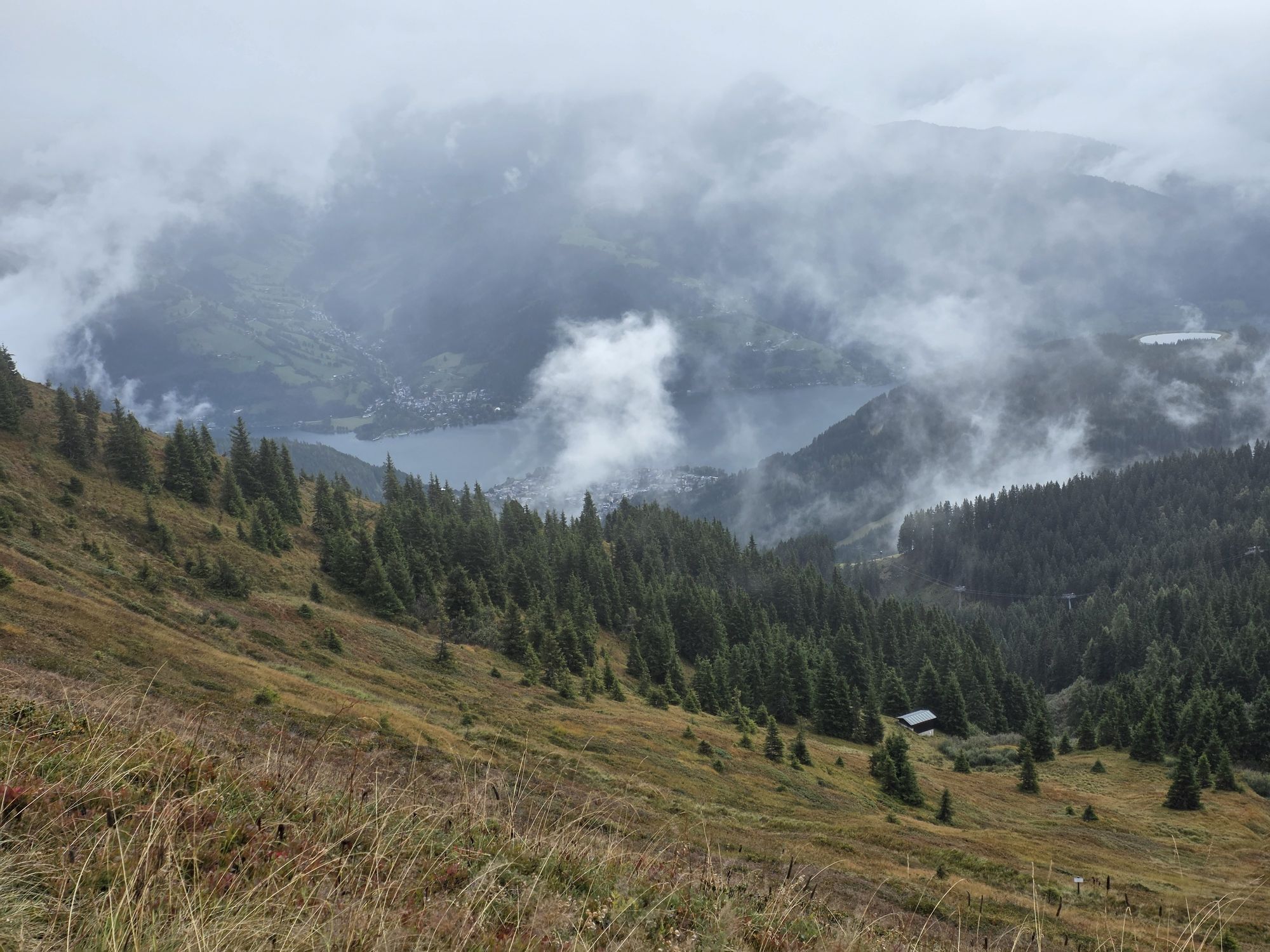
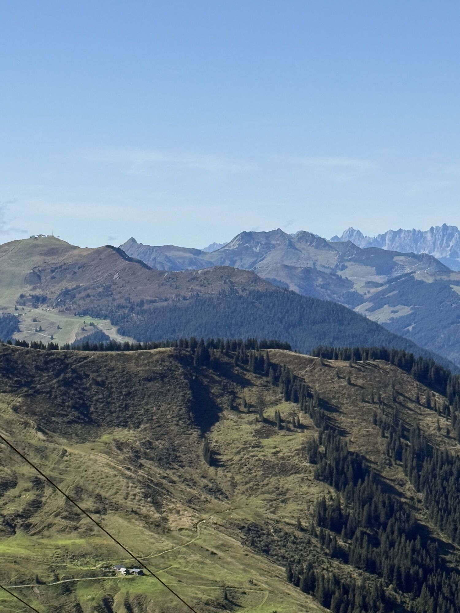
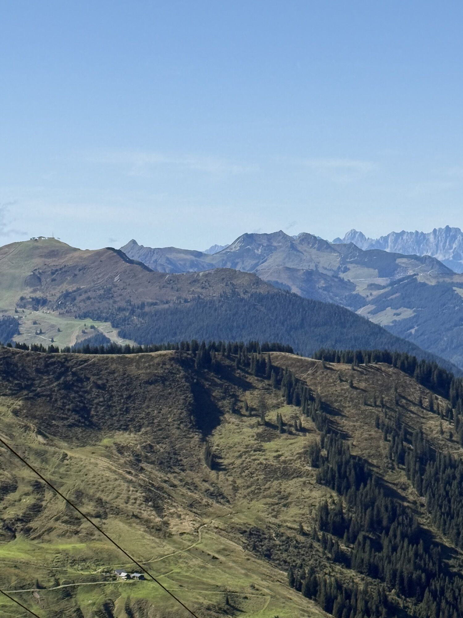
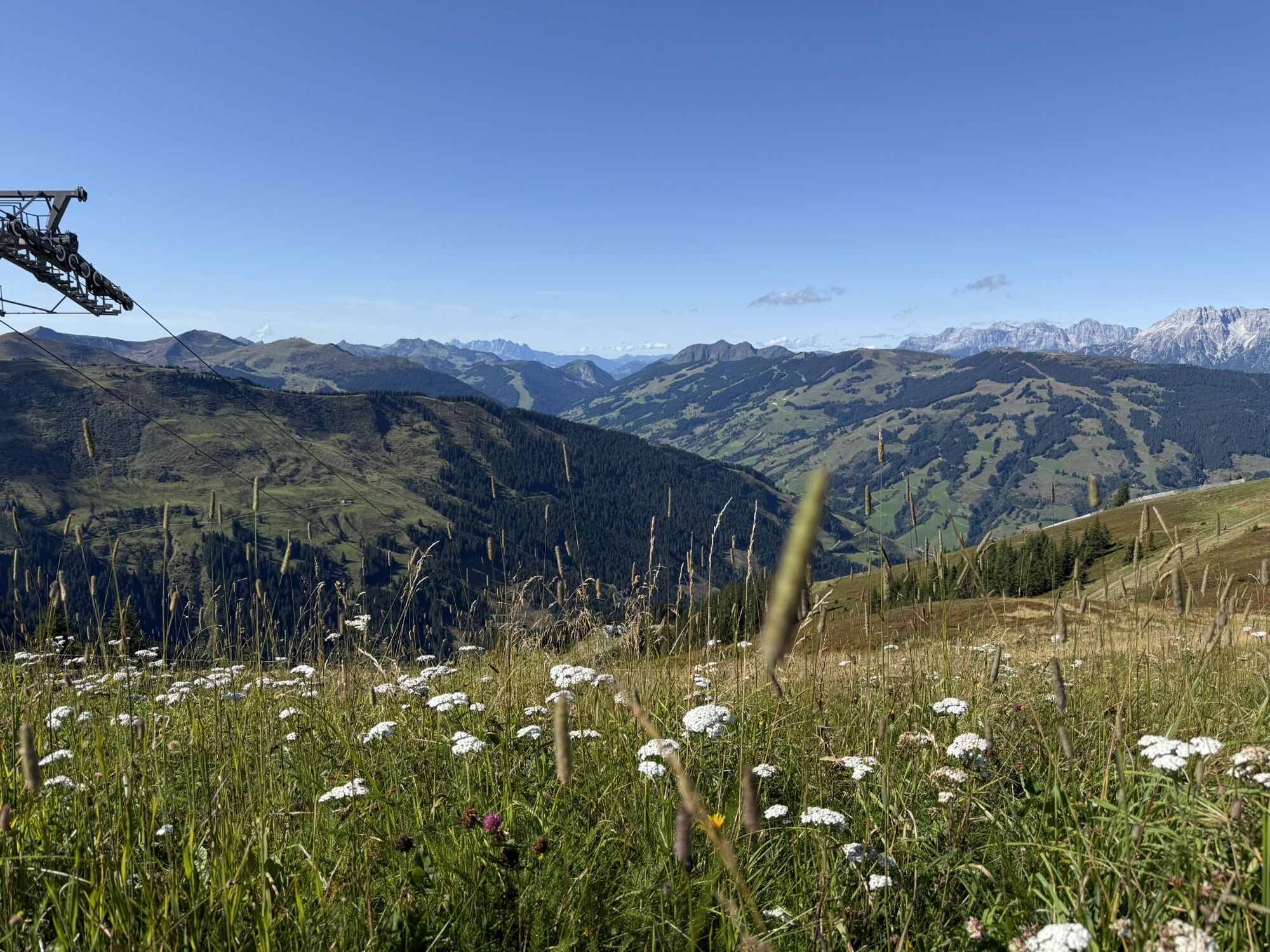
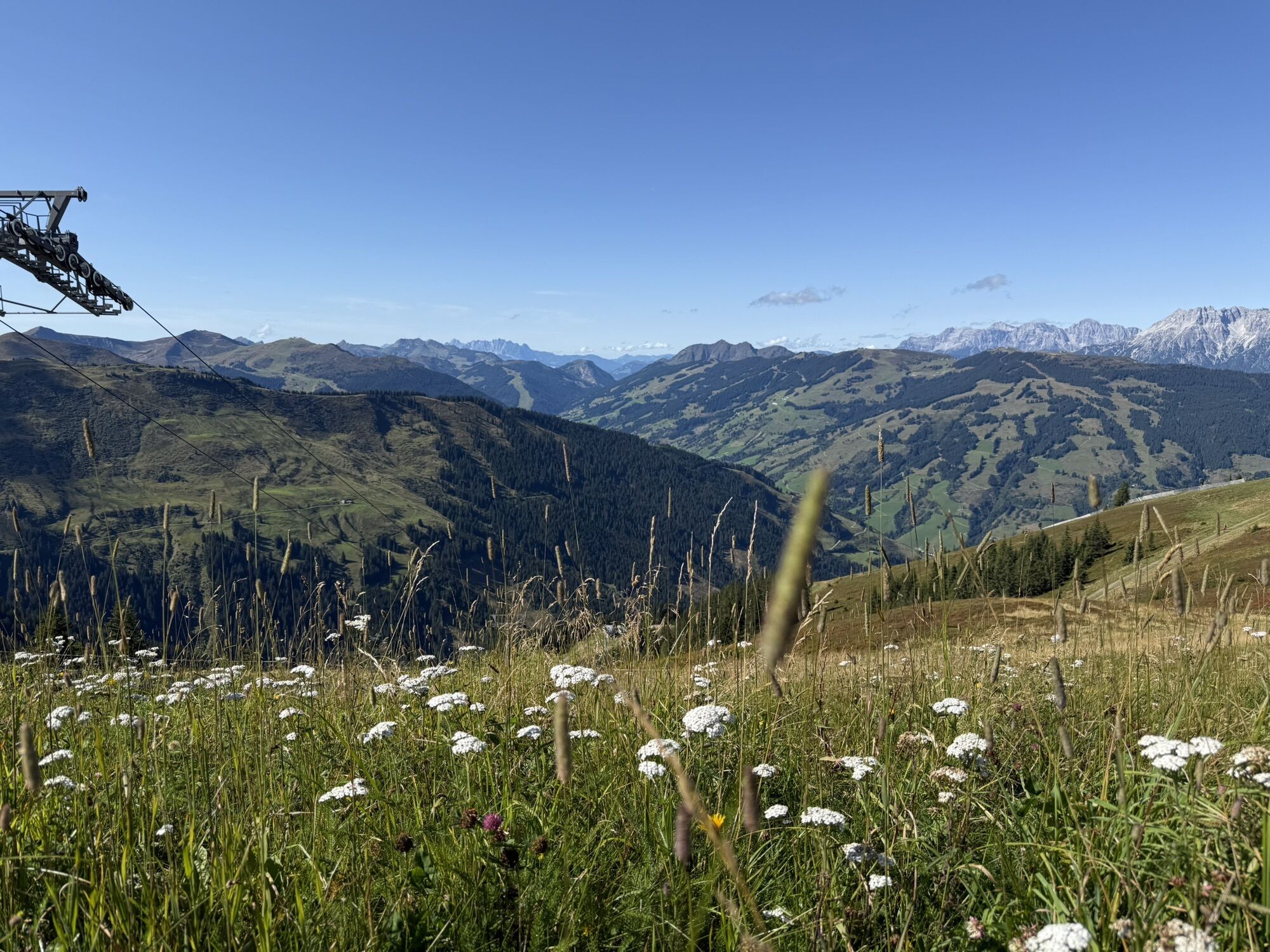
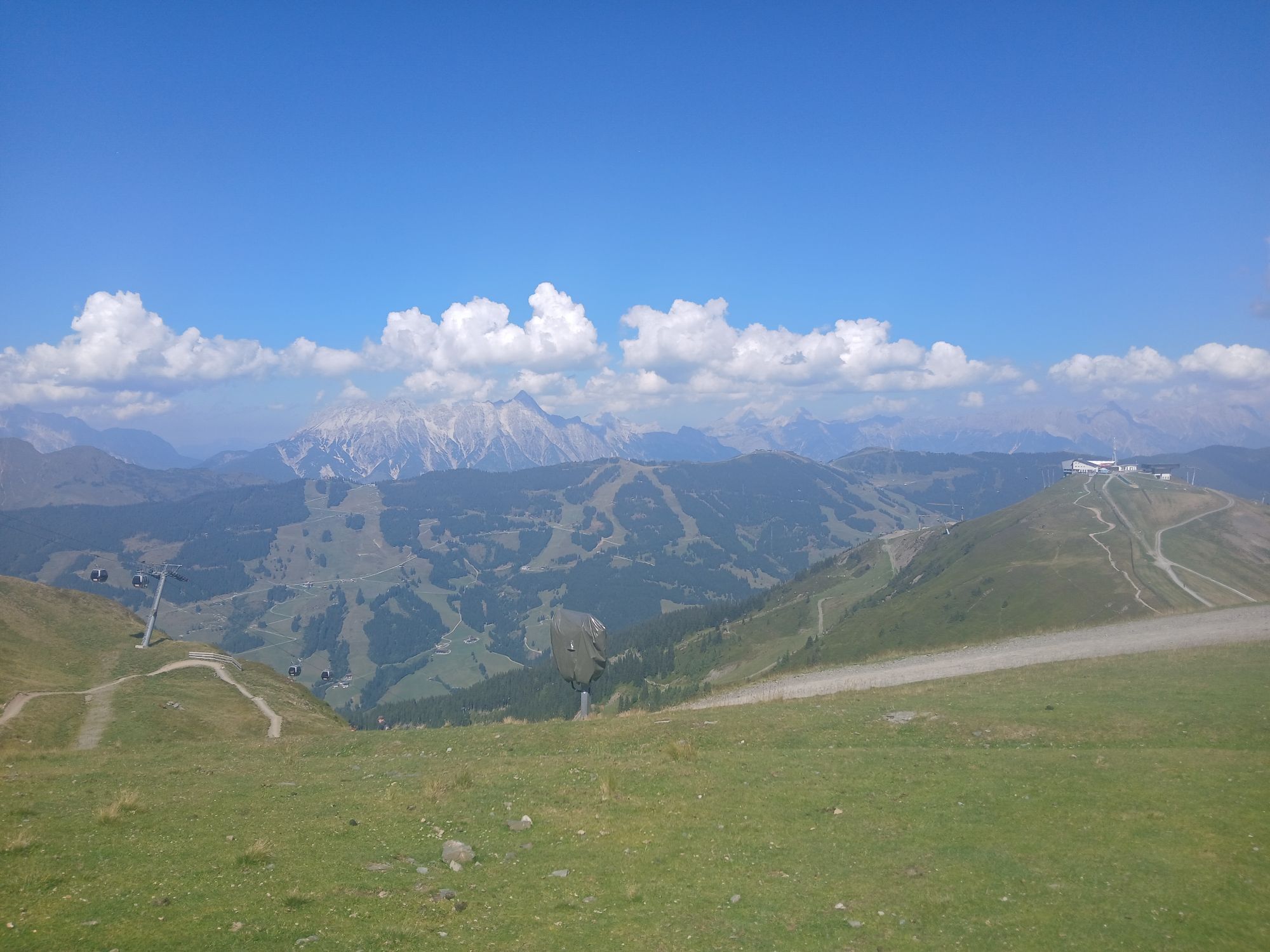
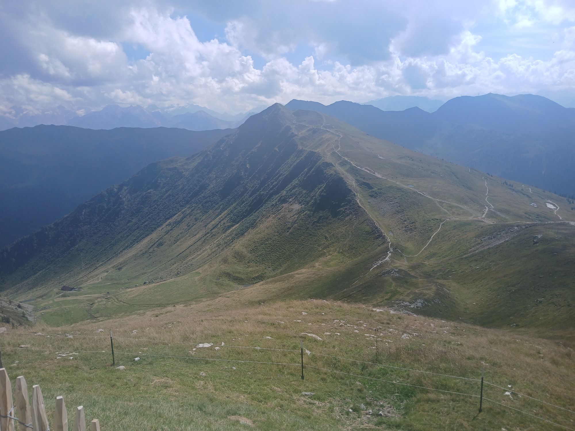
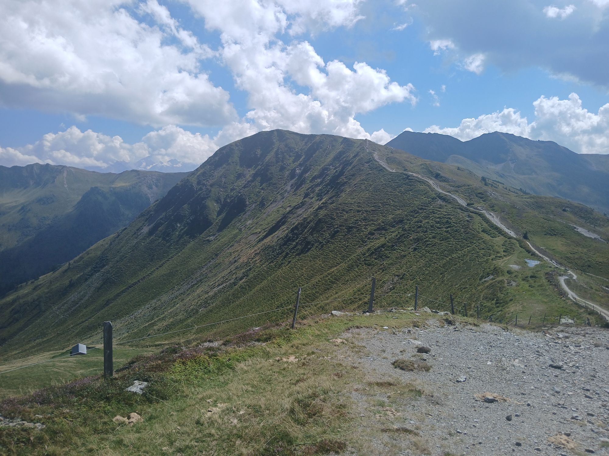
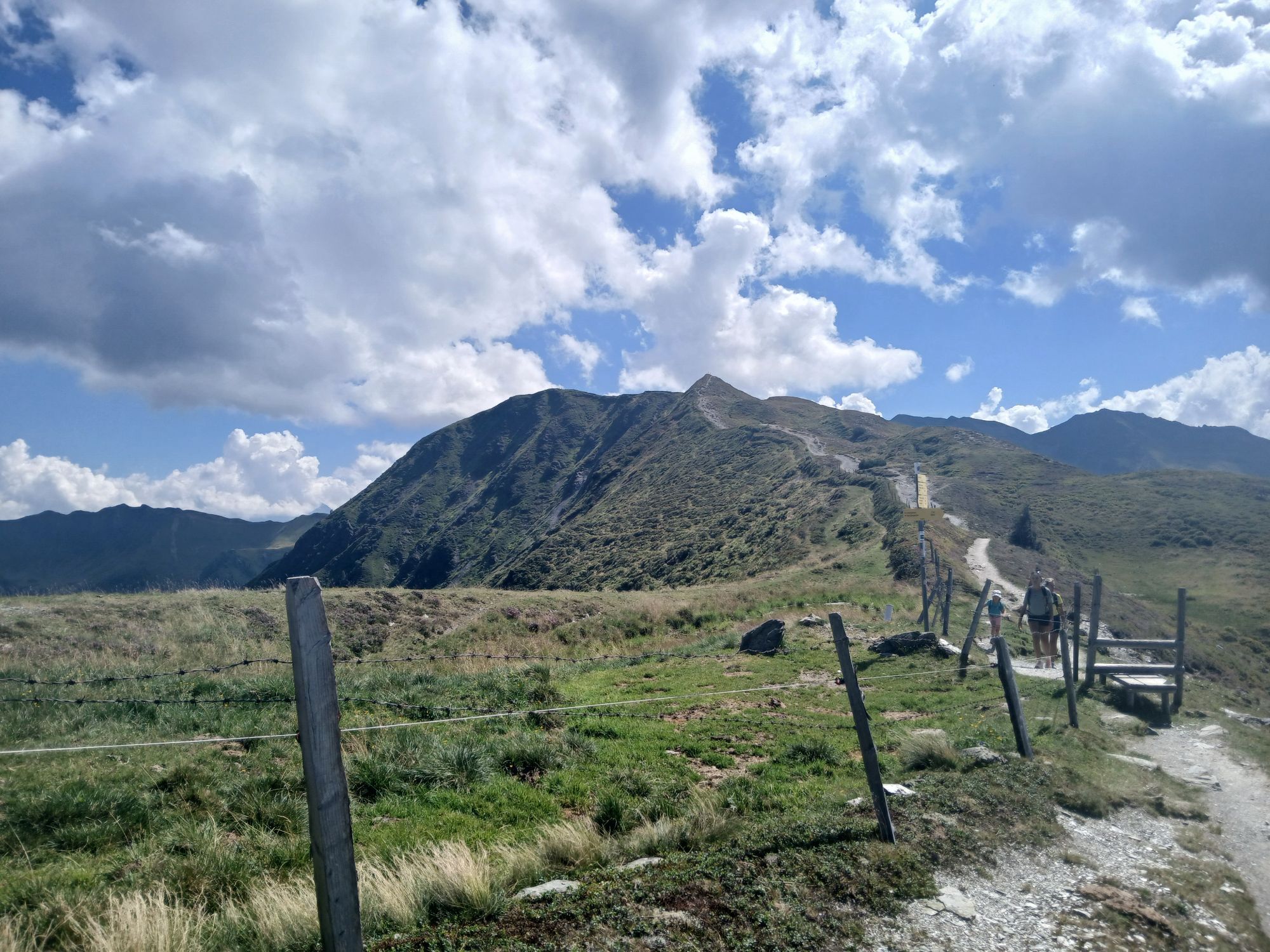
Comfortably ascend with the Schmittenhöhebahn and then hike with great views to Saalbach.
This variant of the long-distance hike "Pinzga Hatscher" starts in Zell am See and uses the Schmittenhöhebahn to...
Comfortably ascend with the Schmittenhöhebahn and then hike with great views to Saalbach.
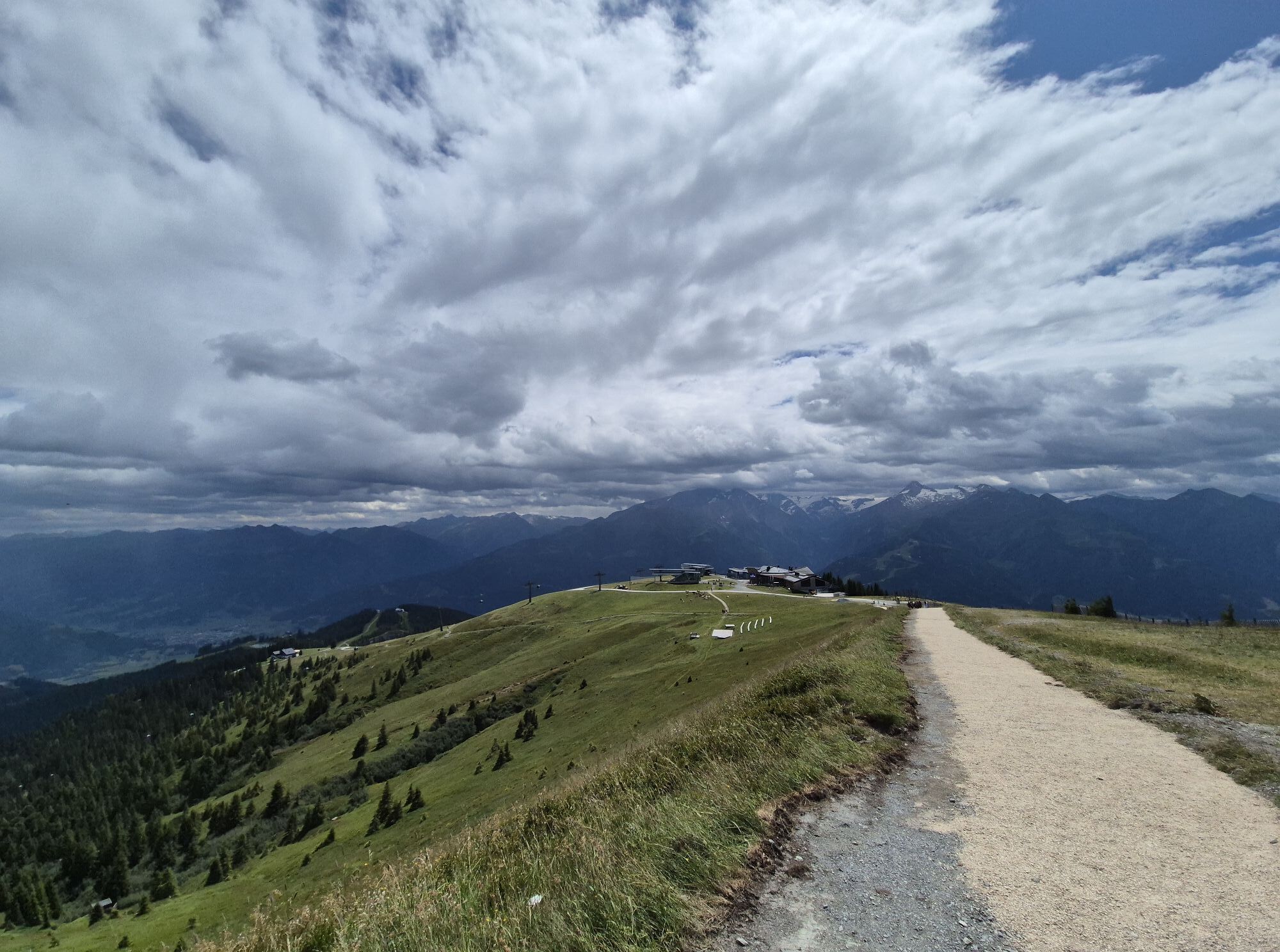
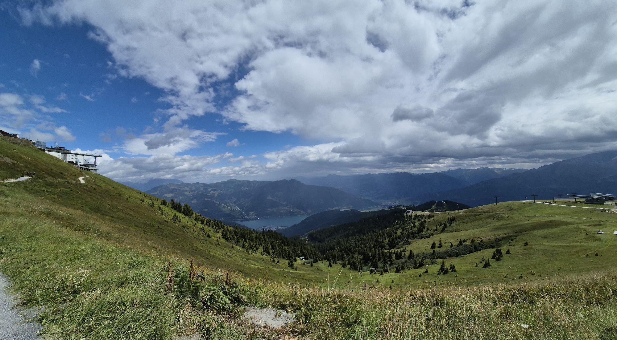
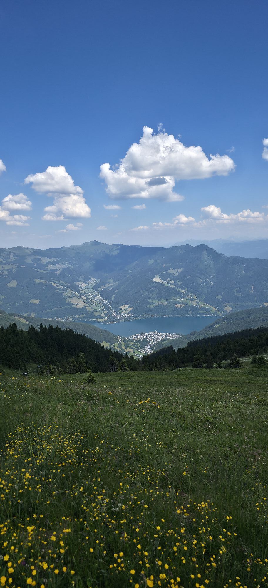
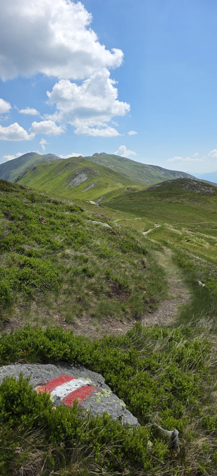
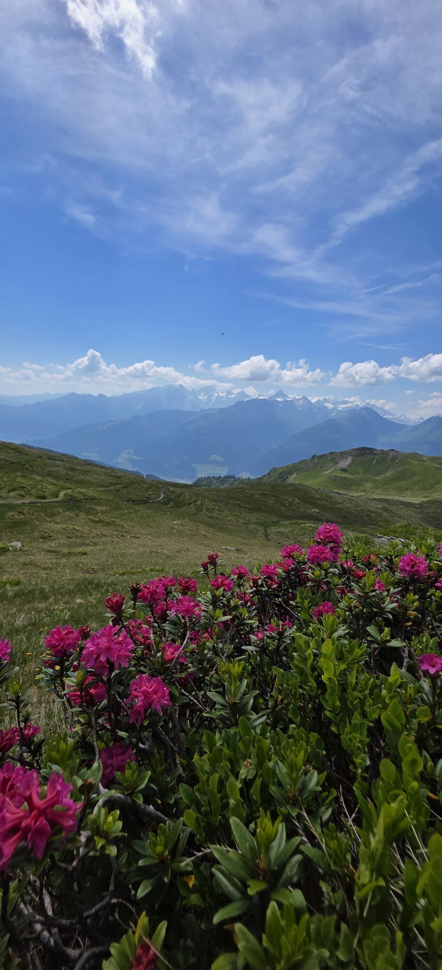
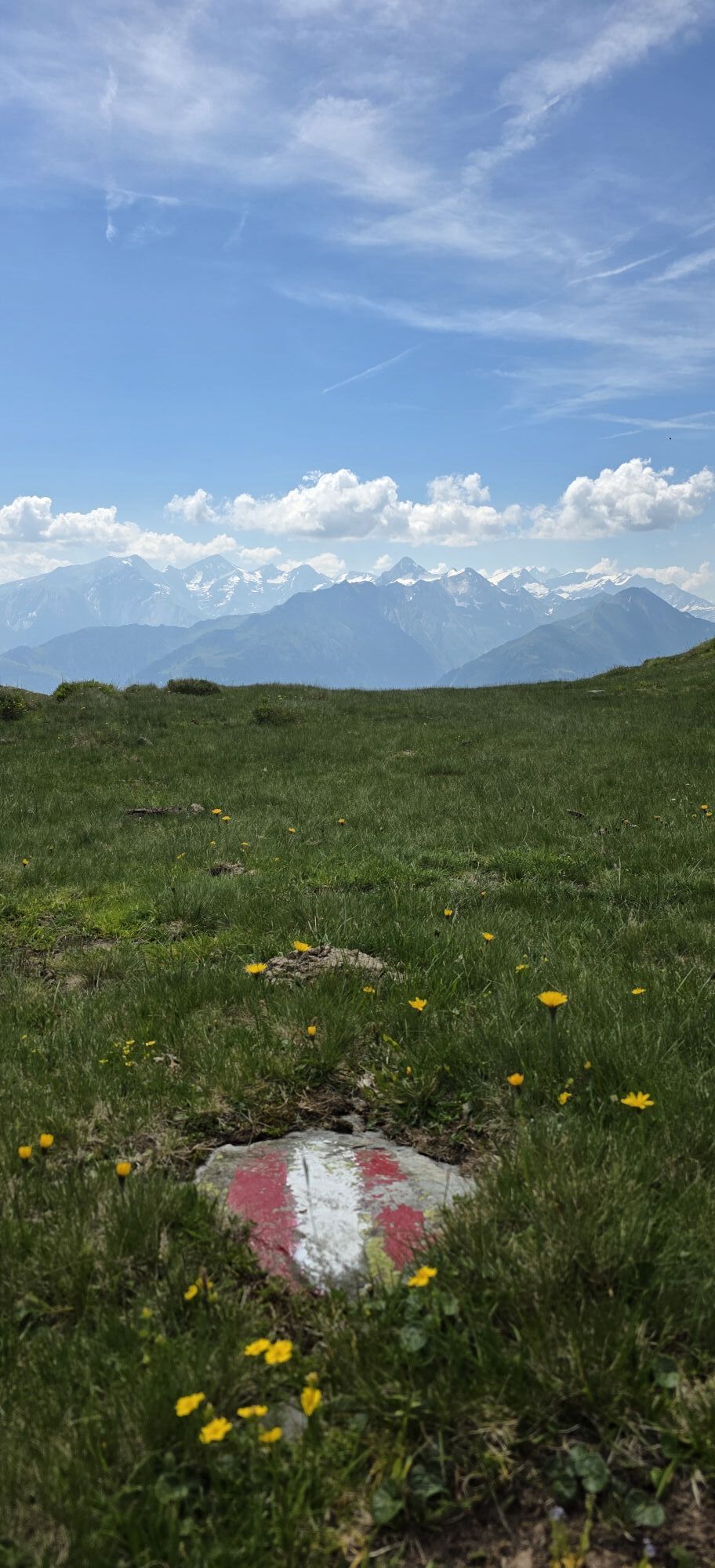
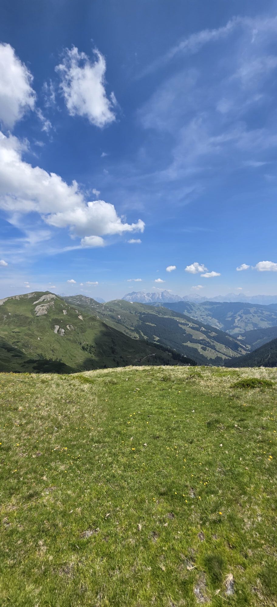
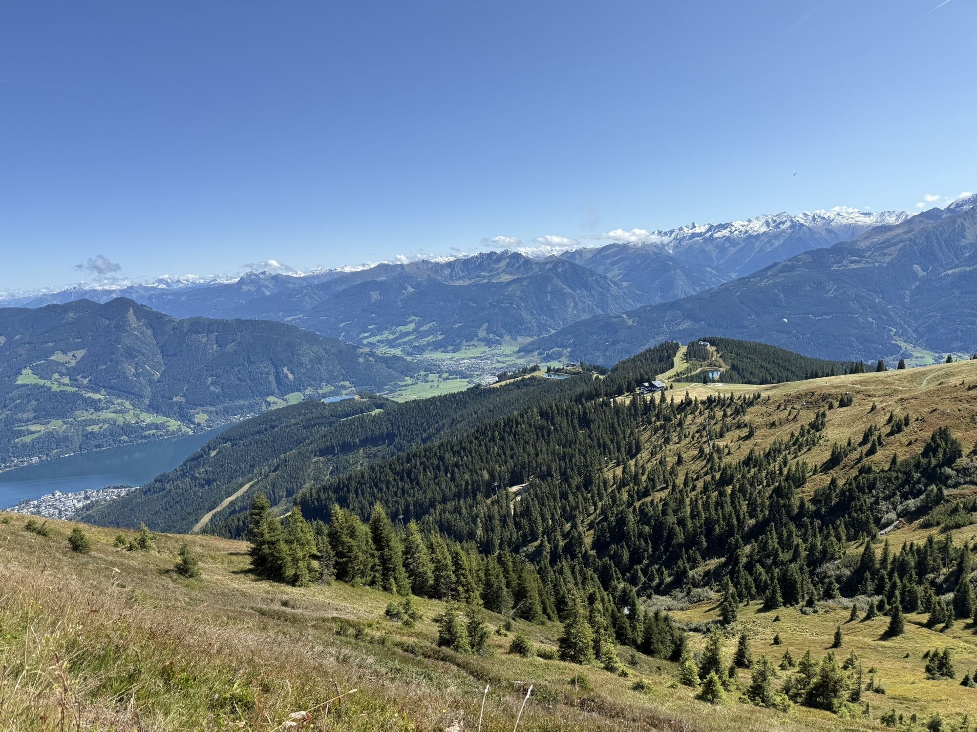
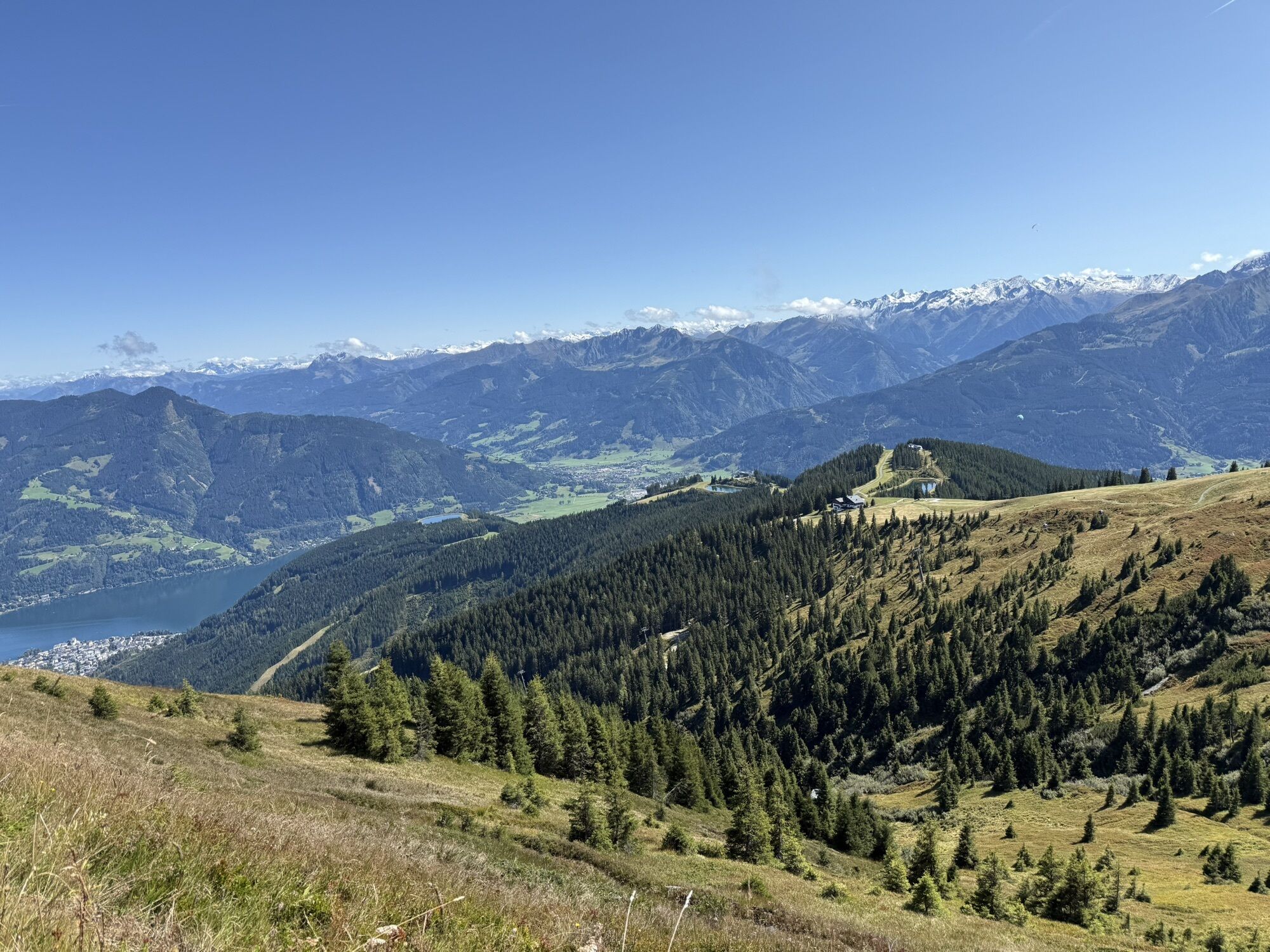
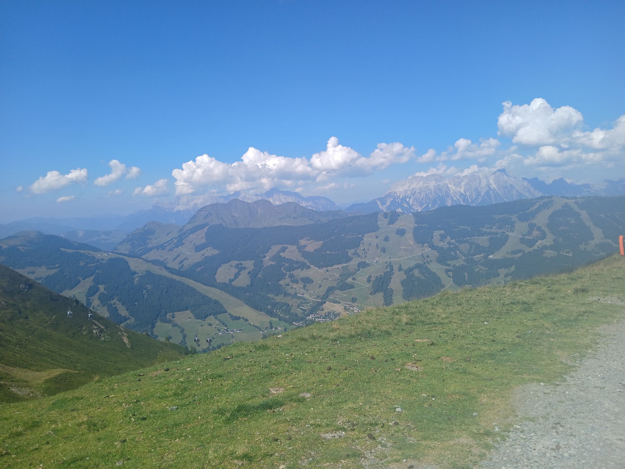
This variant of the long-distance hike "Pinzga Hatscher" starts in Zell am See and uses the Schmittenhöhebahn to facilitate the first ascent. From the mountain station of the Schmittenhöhe (1,965 m), an impressive panorama opens up over the Hohe Tauern and the Steinernes Meer – the perfect starting point for a scenic hike over the gentle grassy mountains in the direction of Glemmtal.
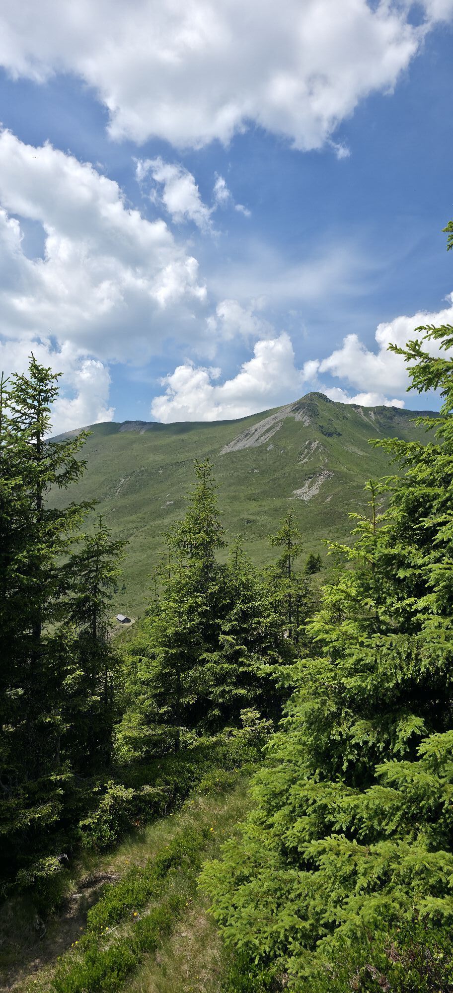
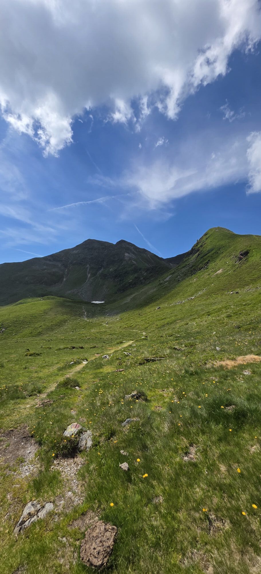
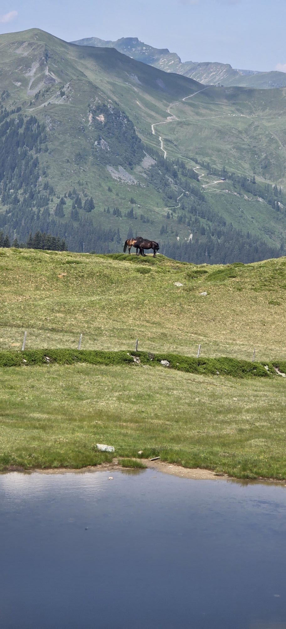
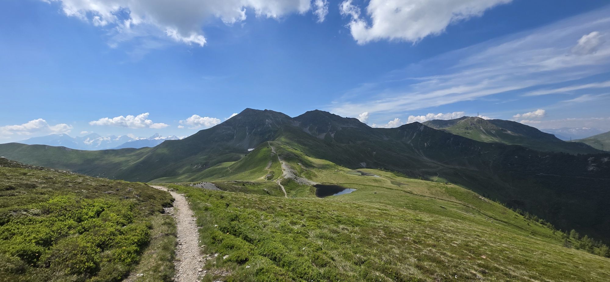
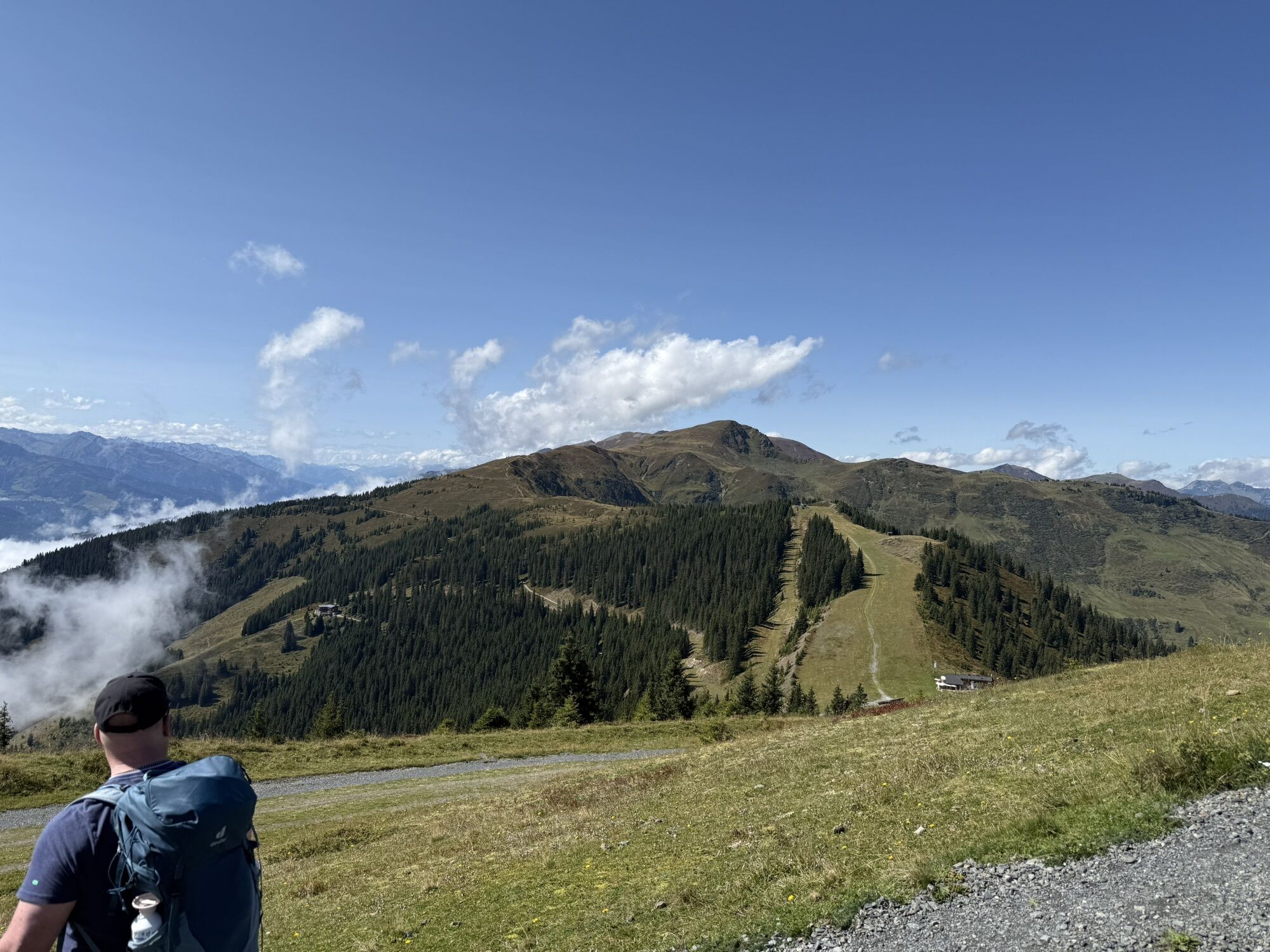
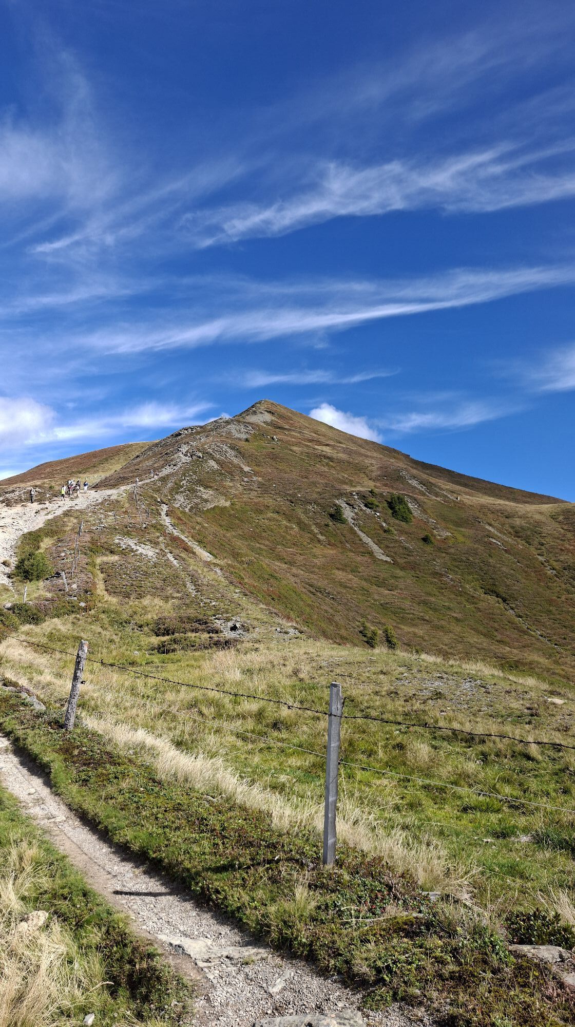
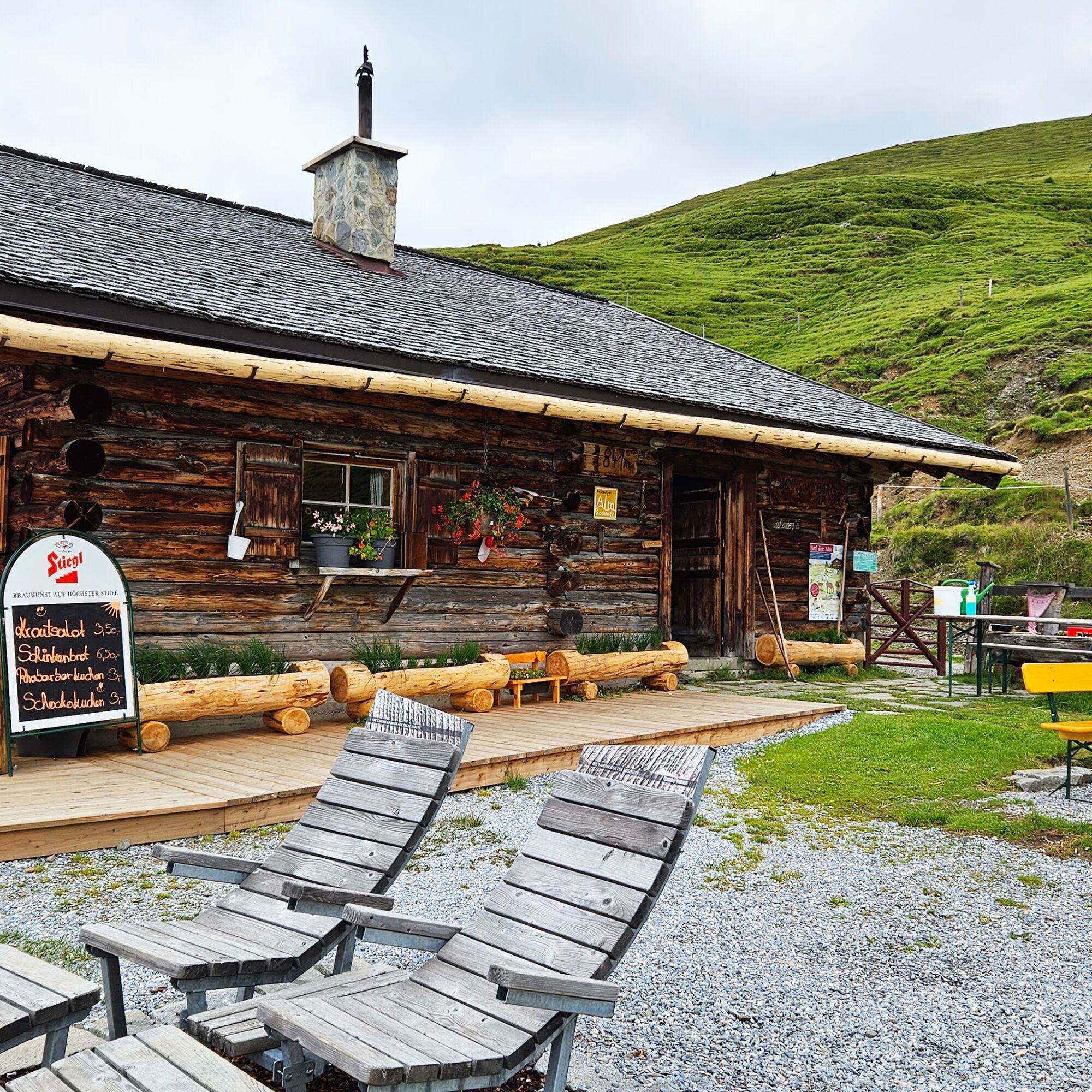
The path runs over well-passable mountain and meadow trails, past rustic alpine huts and blooming mountain meadows. Time and again, panorama points invite you to pause. The destination of this stage is Saalbach, the heart of the Glemmtal.

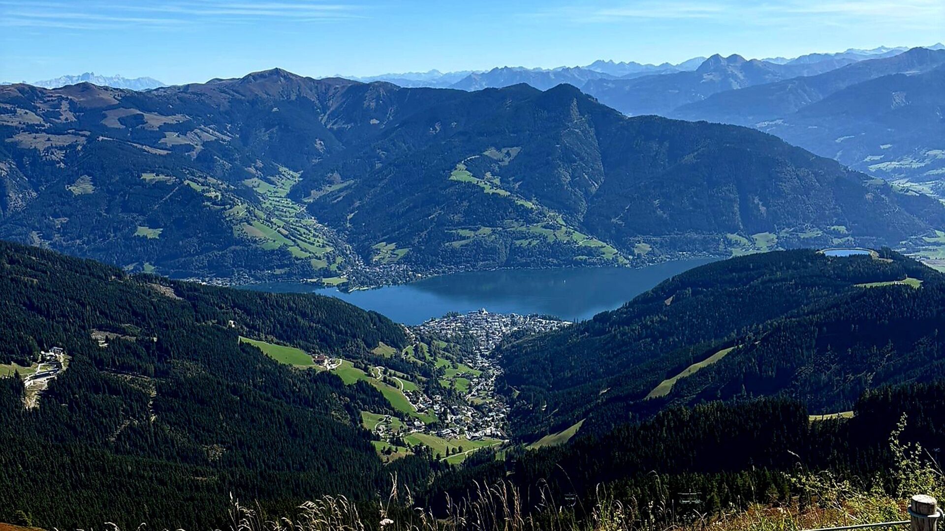
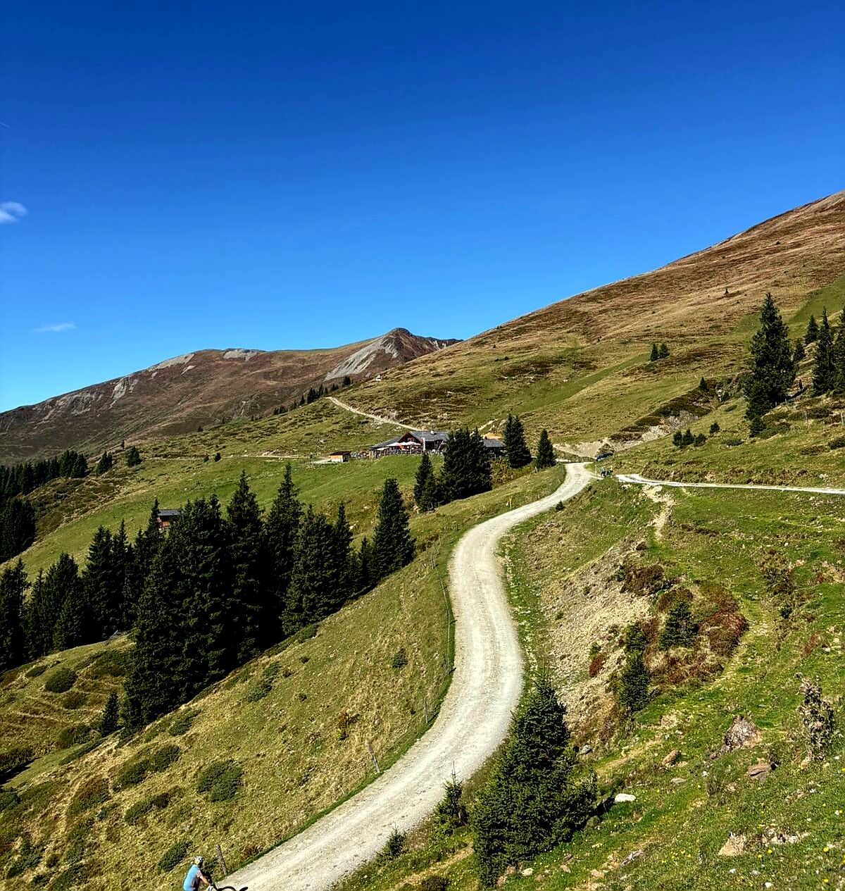
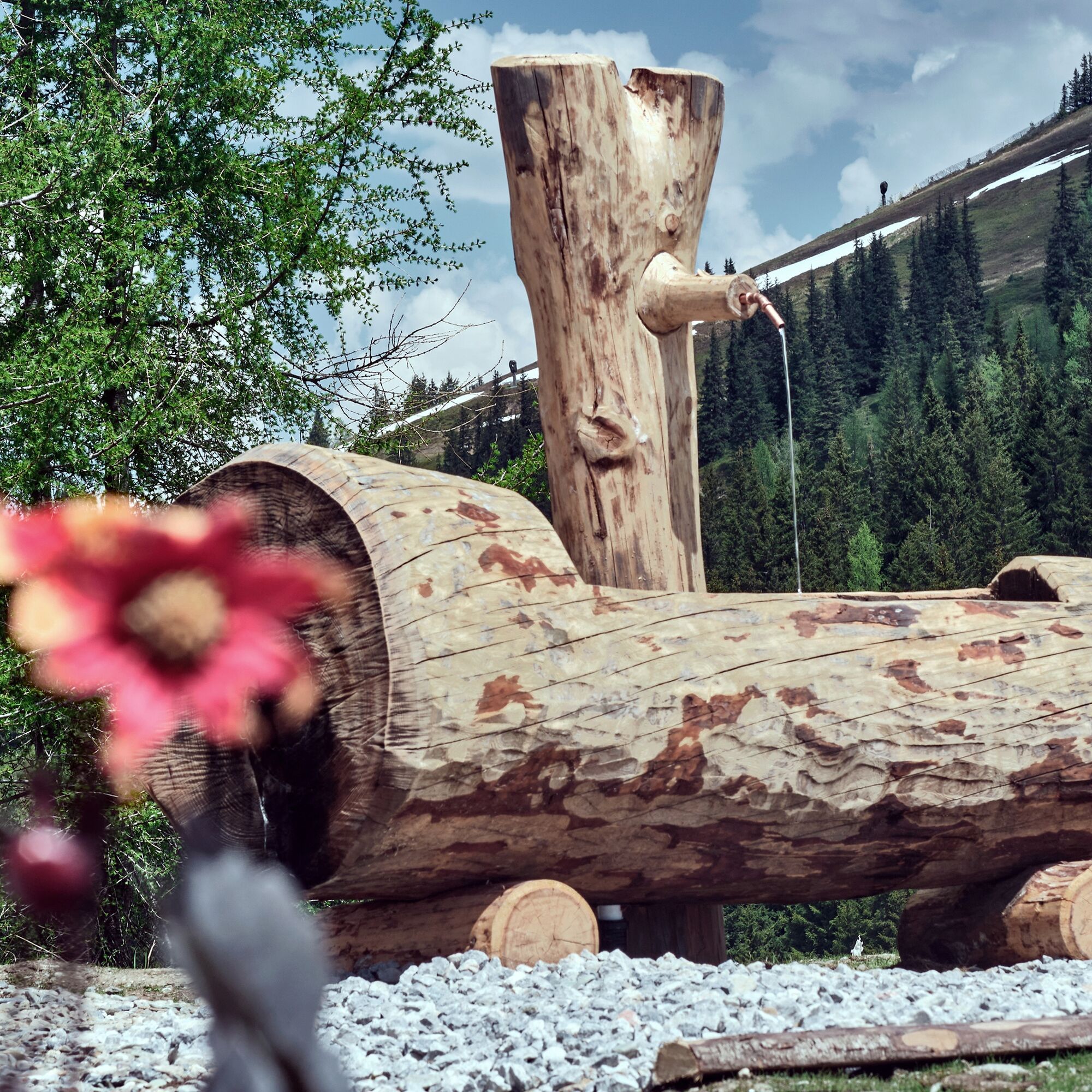
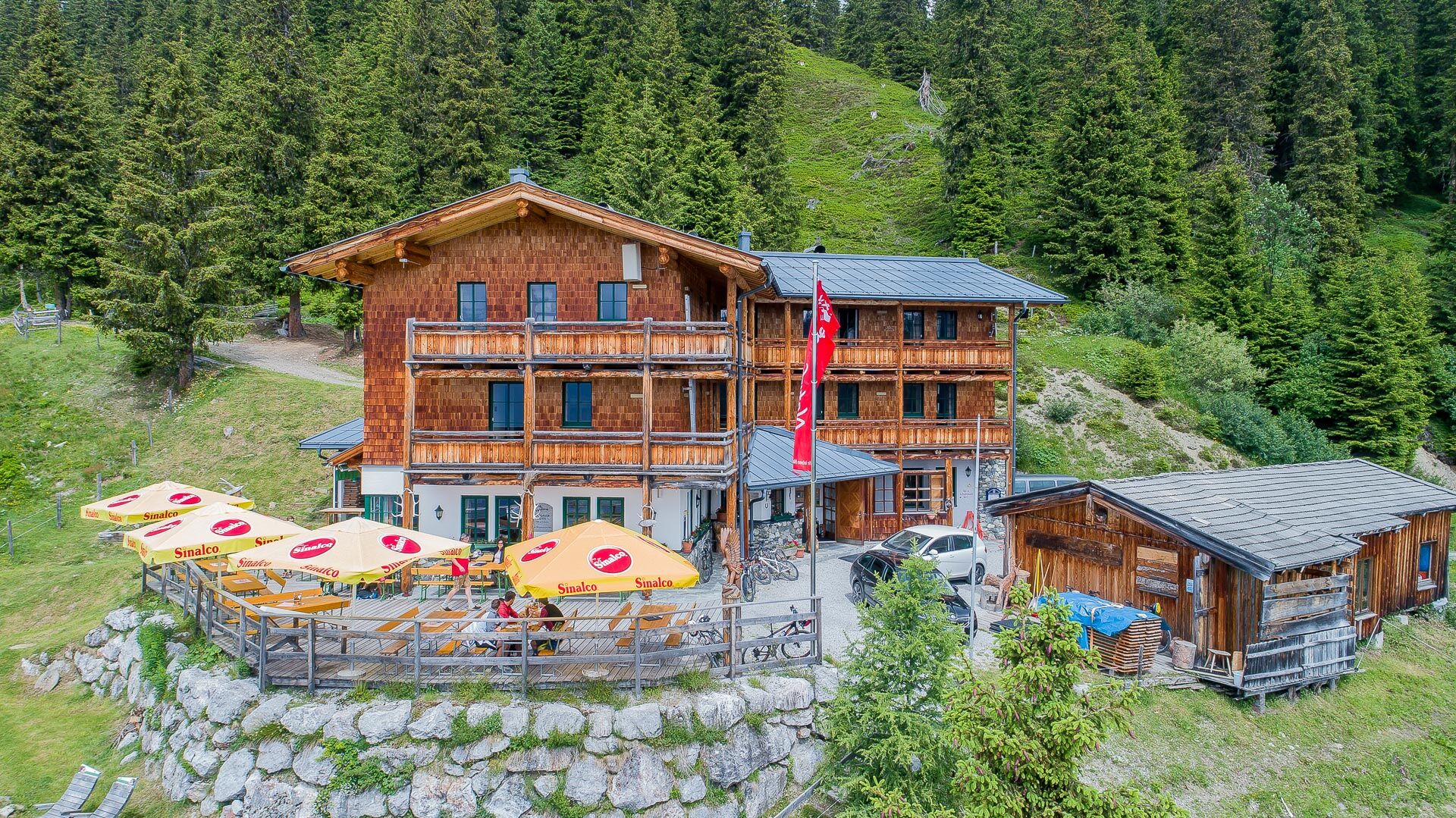
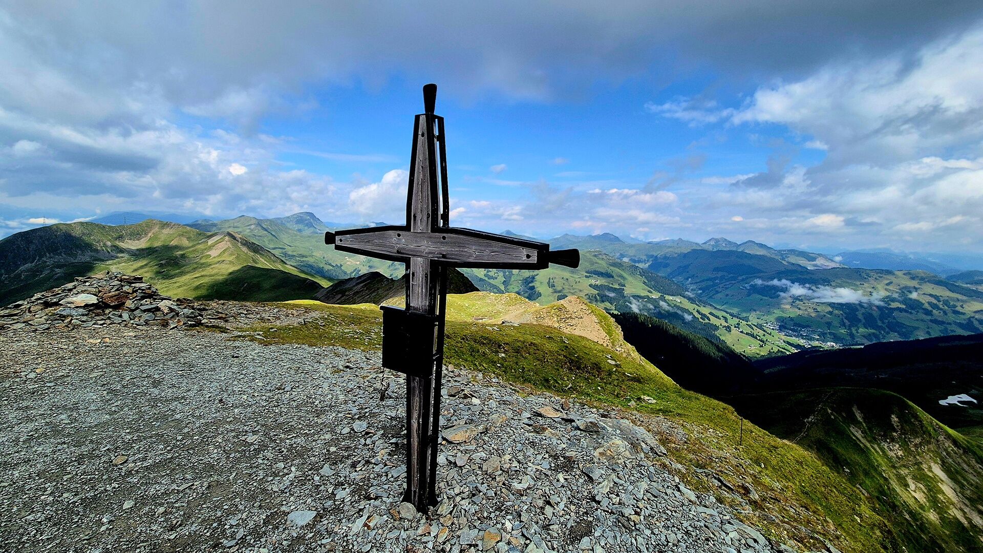

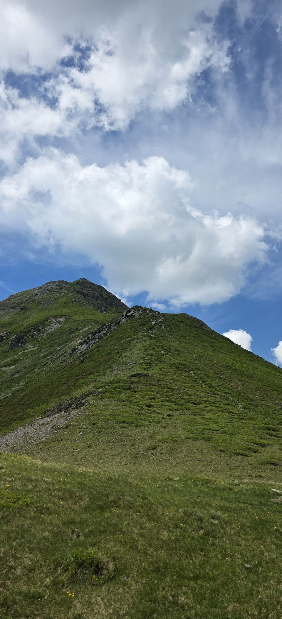
The ascent goes with the Schmittenhöhebahn up to 2,000 m and continues along the Pinzgauer Spaziergang. Past numerous peaks and the West Summit, the hiking route leads to the mountain station of the Schattberg X-press. The descent takes place via the well-known north slope among skiers into the town center of Saalbach or by gondola.
Áno
Sturdy, ankle-high footwear, hiking poles, headwear, sun protection, rain protection, water, necessary medications, first aid kit, detailed hiking map
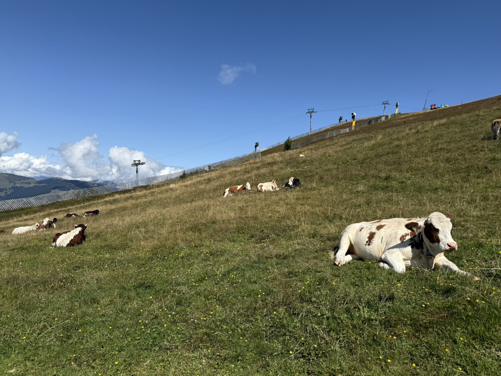
! Caution COWS !
- correct behavior: keep distance, stay calm, keep dogs on a leash, do not pet or feed calves, take warning signals seriously!
Planning and preparation: Plan every intended mountain hike carefully in advance. Hiking maps and guides as well as information from alpine associations and locals such as mountain guides and hut operators can be helpful.
Equipment: You need appropriate equipment and clothing in the mountains, especially sturdy, high footwear with non-slip soles. Weather and cold protection are indispensable, as weather can often change unexpectedly.
Weather forecasts: Check current weather conditions at: www.zamg.at or www.uwz.at
Together: Follow the 10 rules for proper interaction with grazing animals and do not leave any waste in nature!
Do not dislodge stones! Do not dislodge stones, as this can seriously endanger other hikers. Marked areas with risk of falling rocks should be crossed as quickly and carefully as possible.
Turn back in time! This is not a shame but a sign of common sense. It becomes necessary if the weather changes, fog sets in, or if the path is too difficult or not in good condition.
Emergency numbers:
Alpine emergency: 140
International emergency: 122
â¾ More information: https://www.viehhofen.at/de/sommer/wandern/sicher_am_berg
Turnoff Maishofen towards Glemmtal. Follow main road to Viehhofen.
By car: parking available in the town center (only for day parkers)
T1
Further information about the Sorglos Package with luggage transport at info@salzburgerland.com or www.viehhofen.at
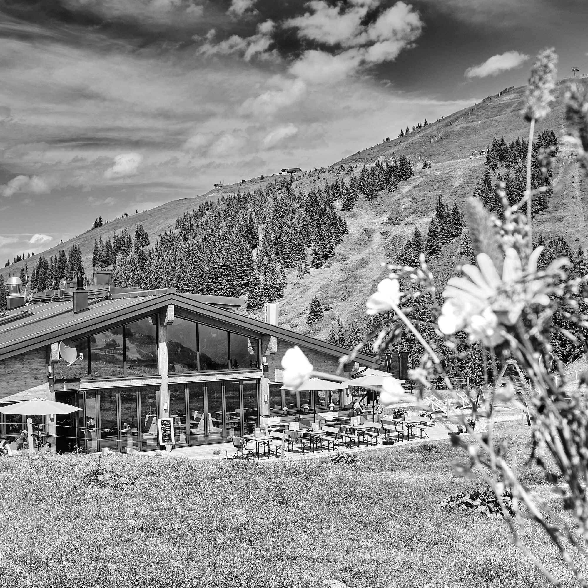
Dining options at the following huts: Eder Alm, Kettingalm, Pinzgauer Hütte, Hochsonnbergalm
Webové kamery z prehliadky
-
Schmittenhöhe
-
Schattberg - West
-
Schattberg Westgipfel
-
Hinterglemm Dorf
-
Kohlmais Tal
-
Sonnkogel
-
Schmittenhöhe
-
Mitterberg bei Thumersbach
-
Zell am See / Hotel Berner
-
Schmittenhöhe
-
Schmittenhöhe
-
Zell am See
-
Hinterglemm - Saalbach
-
Thumersbach
-
Saalbach-Hinterglemm - Schattberg Ost
-
Saalbach-Hinterglemm - Zwölferkogel
-
Saalbach-Hinterglemm - Wildenkarkogel
-
Saalbach - Hotel Alpinresort
-
Zwölferkogel
-
Wildenkarkogel
-
Maishofen Dorfplatz
-
zellamseeXpress
-
Martenhof
-
Wohlfühlhotel-Johanneshof
-
Eberharthof - Saalbach-Hinterglemm
Získajte prehľad
Vždy naživo na mieste s viac ako 9 500 webovými kamerami. bergfex Ako používateľ Pro si teraz môžete pozrieť príslušné webové kamery pre mnohé zájazdy v aplikácii zájazdy z. Môžete si tak priamo prezerať aktuálne podmienky.
Obľúbené výlety v okolí
-
4,3
Schwalbenwand Nr. 80, 81, 82
strednáTuristika 13,0 km -
4,8
Sigmund Thun Klamm, Klammsee, Bürgkogel
svetloTuristika 4,56 km -
4,2
Passauer Hütte
ťažkéTuristika 4,14 km -
4,1
Maurerkogel (Top)
Turistika 10,5 km -
4,6
Birnbachloch Leogang, Österreich
strednáTuristika 5,18 km -
4,9
Hochsonnberg Runde
strednáMountainbike 59,8 km -
4,5
Thumersbach, Runde um den Zeller See
svetloTuristika 13,3 km -
4,4
Sigmund Thun Klamm
svetloTuristika 3,10 km -
4,6
Lettlkaser
strednáTuristika 4,40 km -
4,0
Berg der Sinne
svetloTuristika 4,39 km
Turistika a stopovanie


Nenechajte si ujsť ponuky a inšpiráciu na ďalšiu dovolenku
Vaša e-mailová adresa bol pridaný do poštového zoznamu.





