







Hüttschlag: 2-day hike over Hundegg to the Tappenkarsee


Day 1:
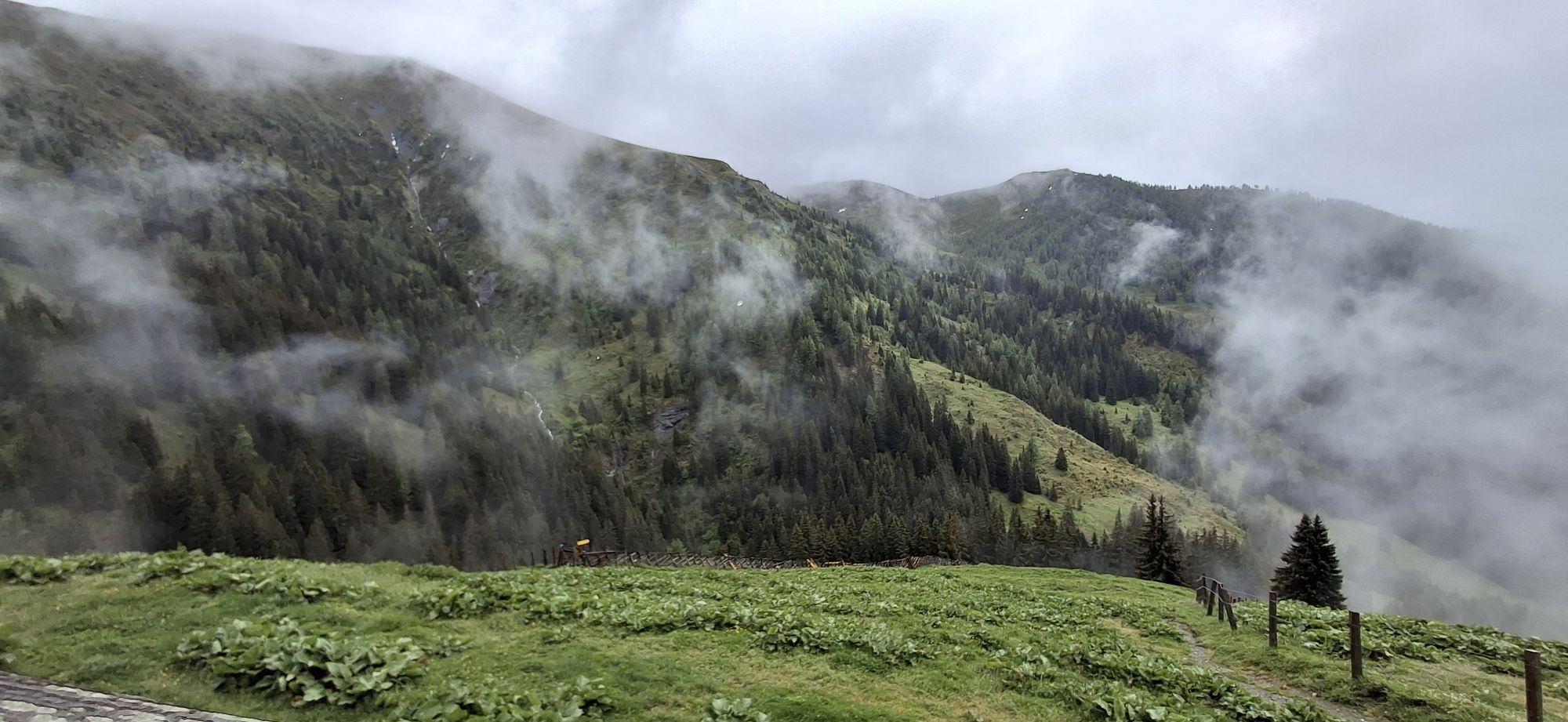
The hike starts at the Hallmoosalm in Hüttschlag. First, you have to walk a short stretch downhill until you cross the Karteis ravine. From now on, it goes uphill to the Schleglalm. However, this...
Day 1:
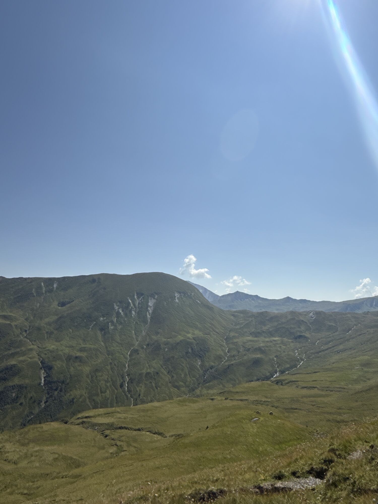
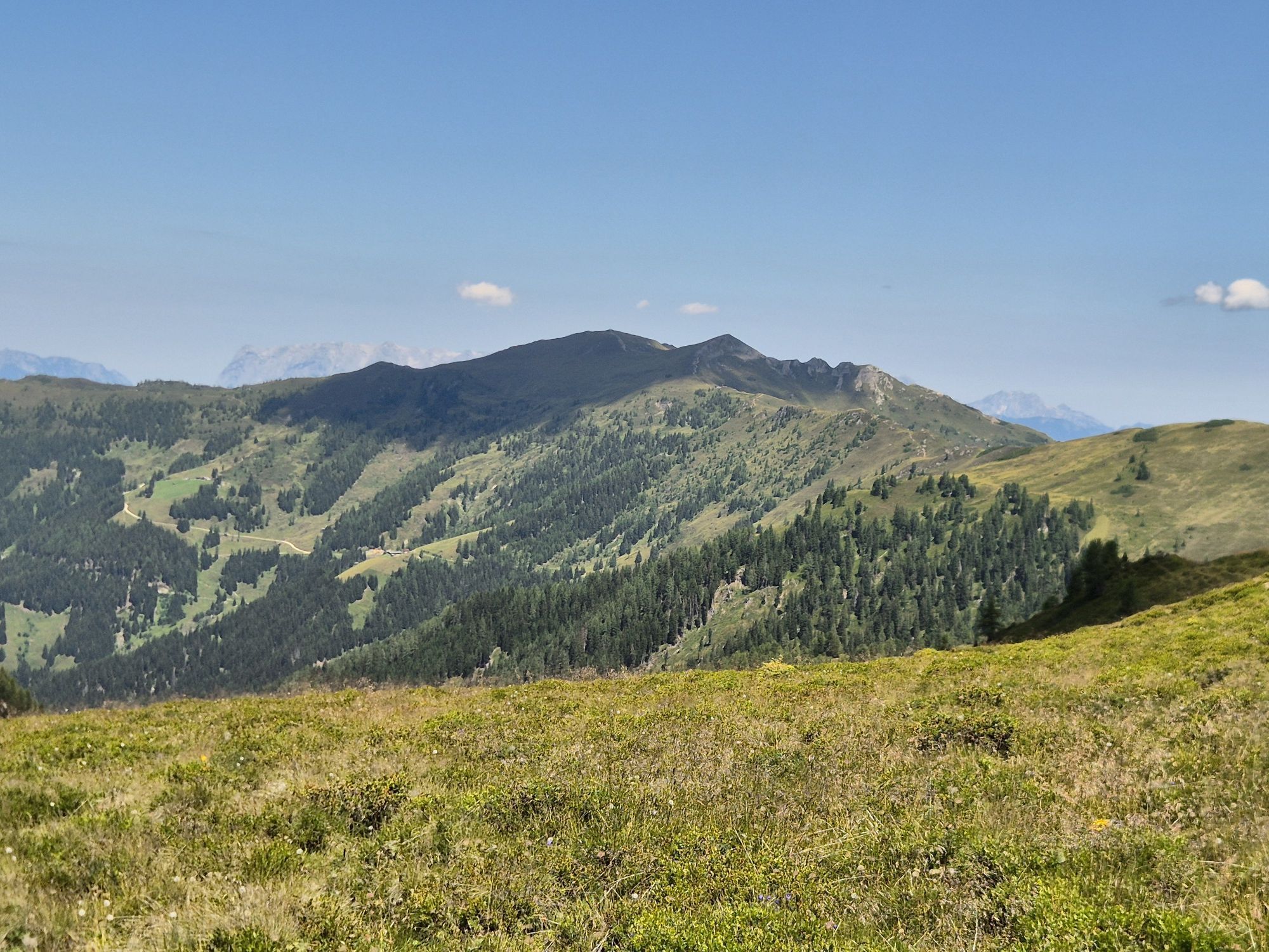
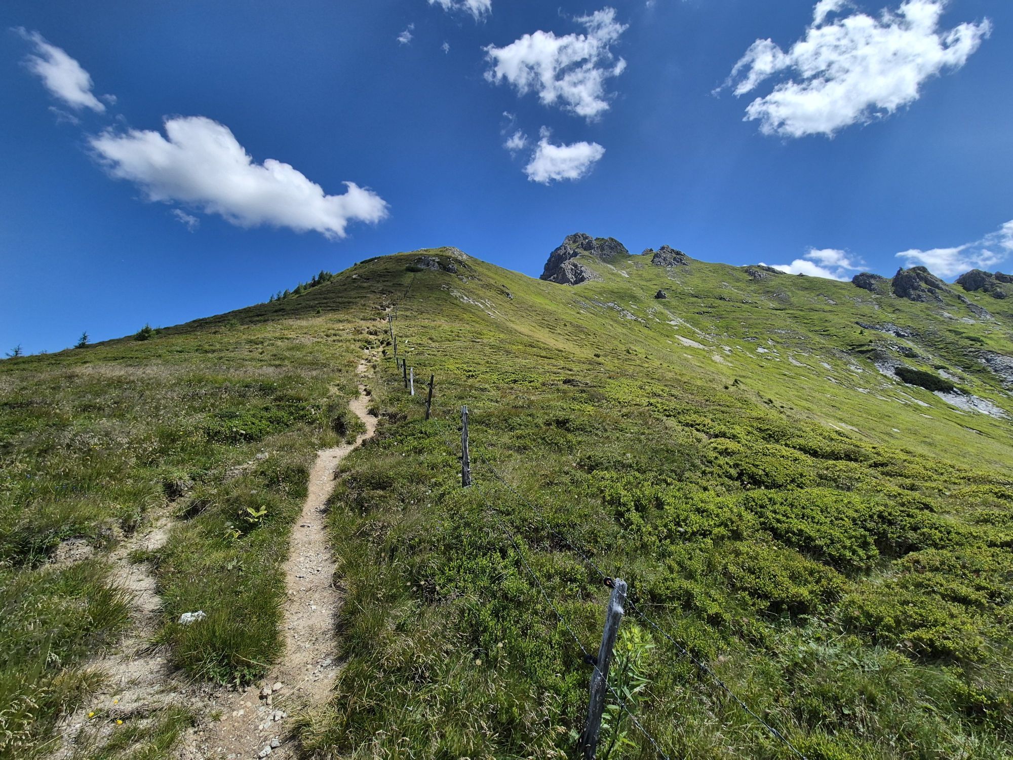
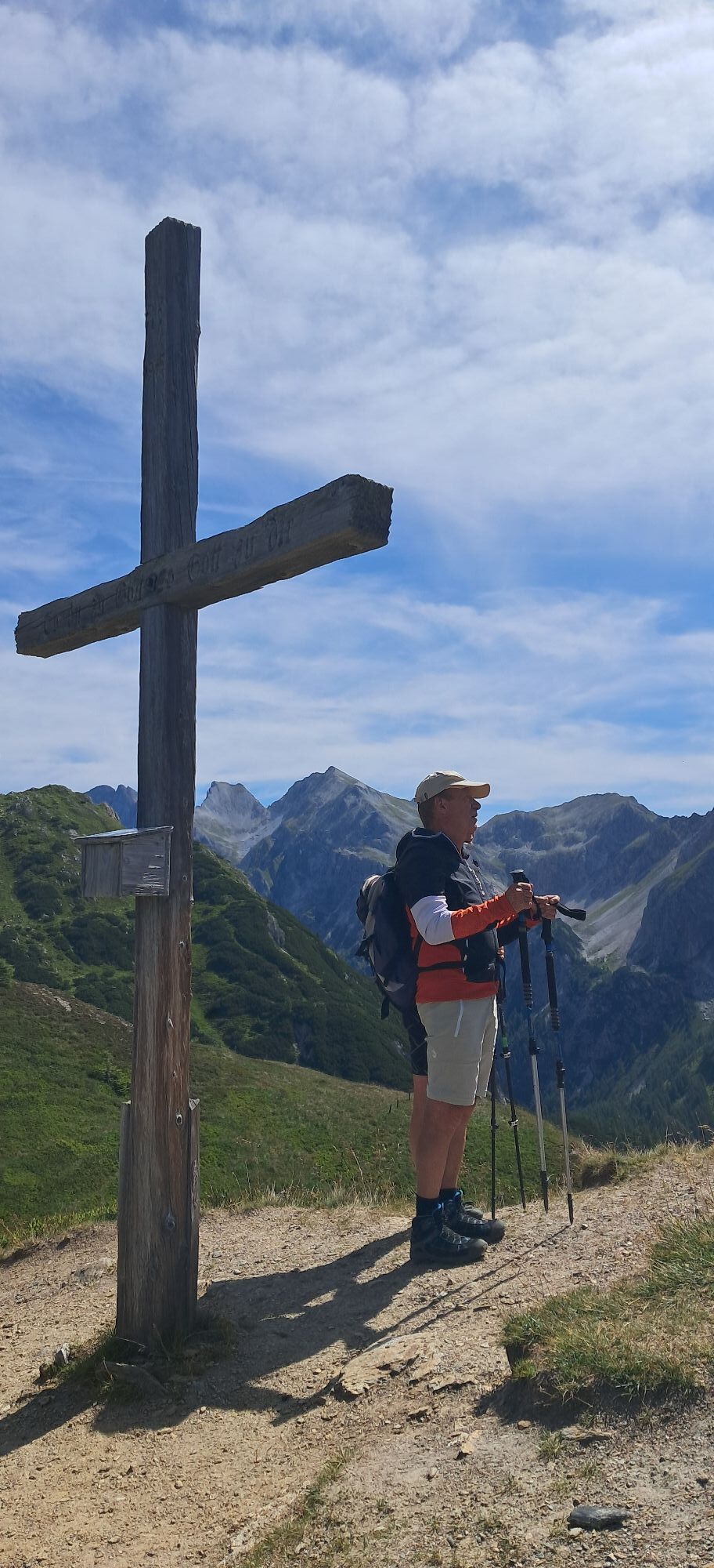
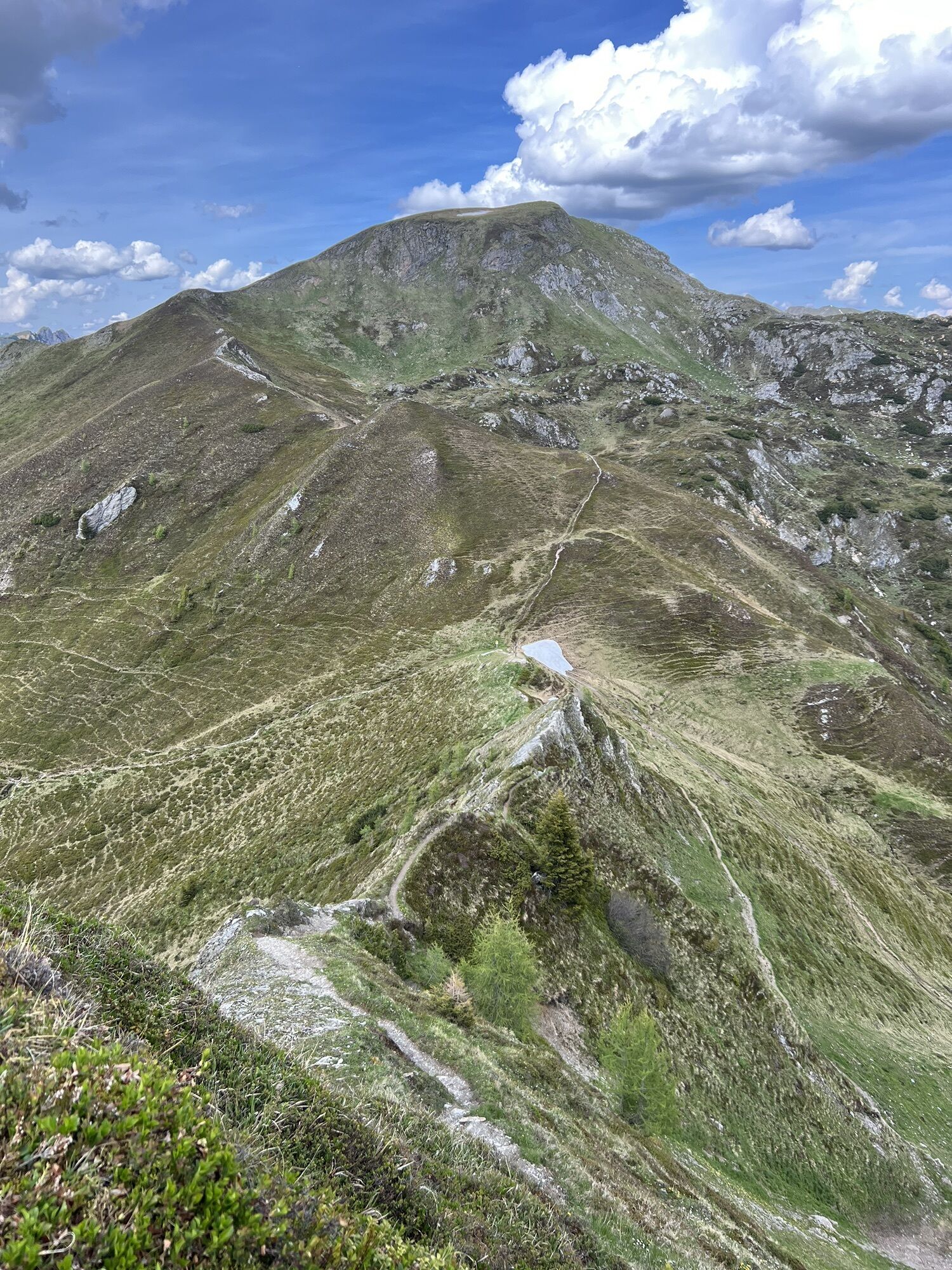
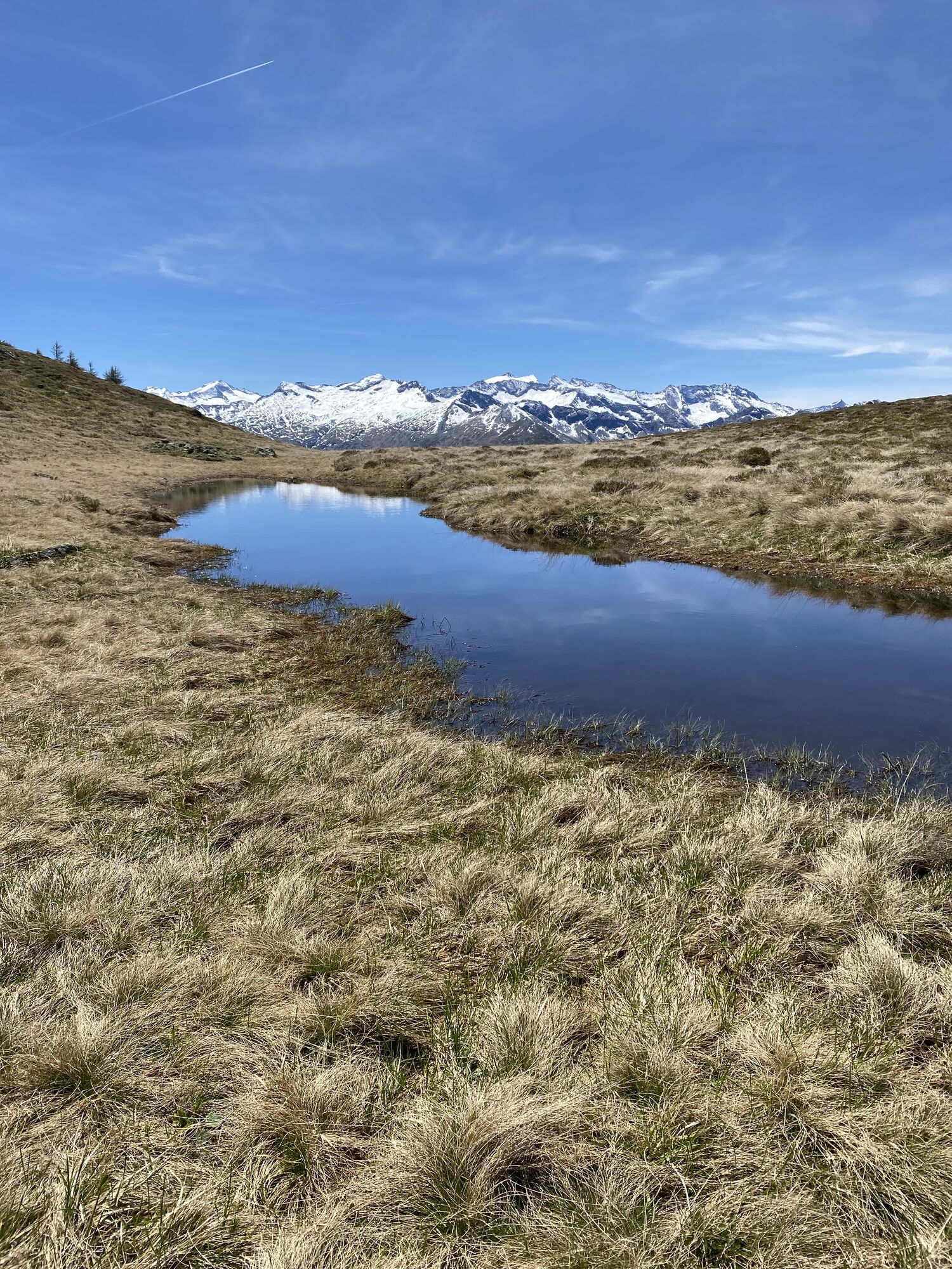
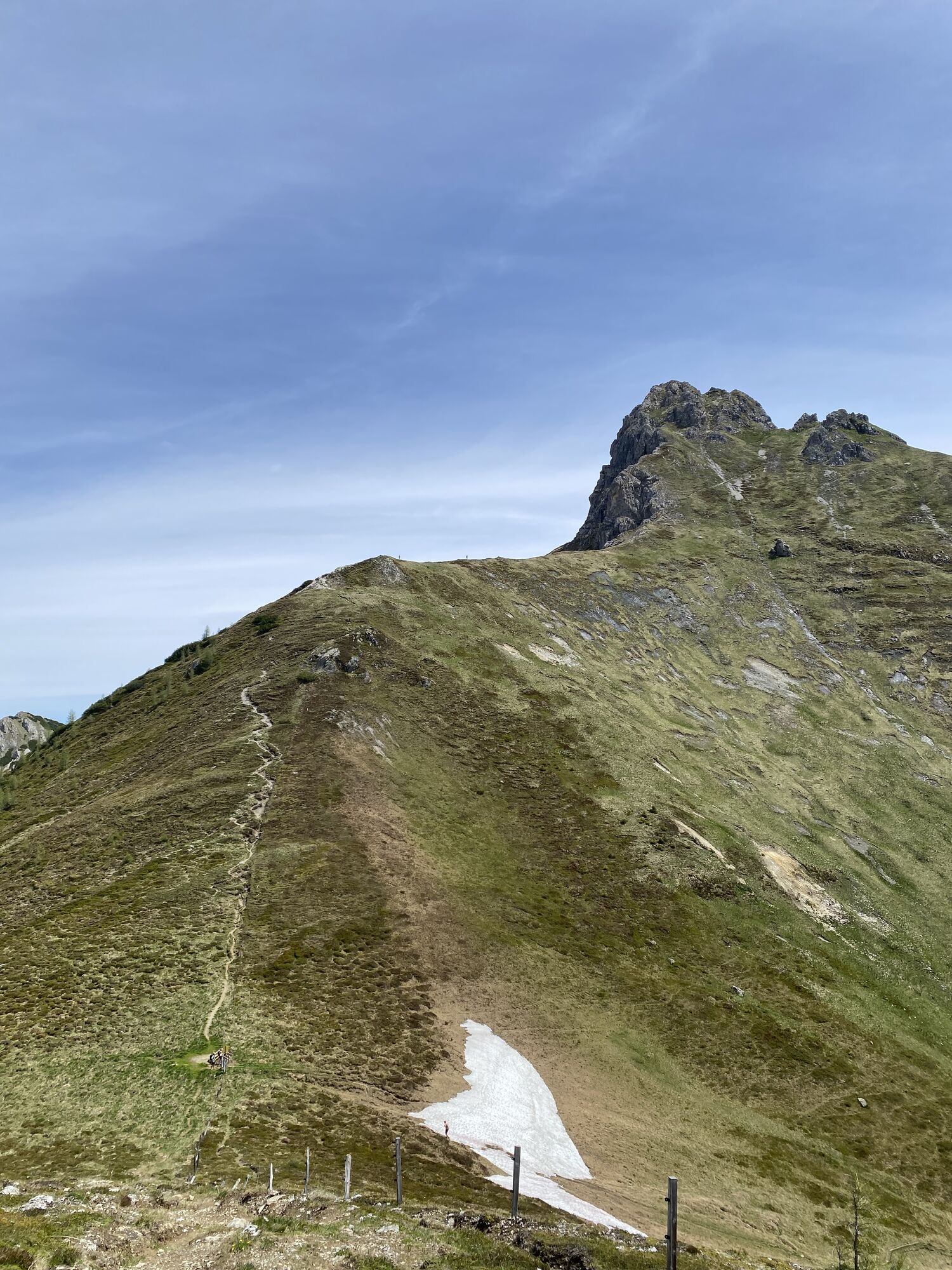
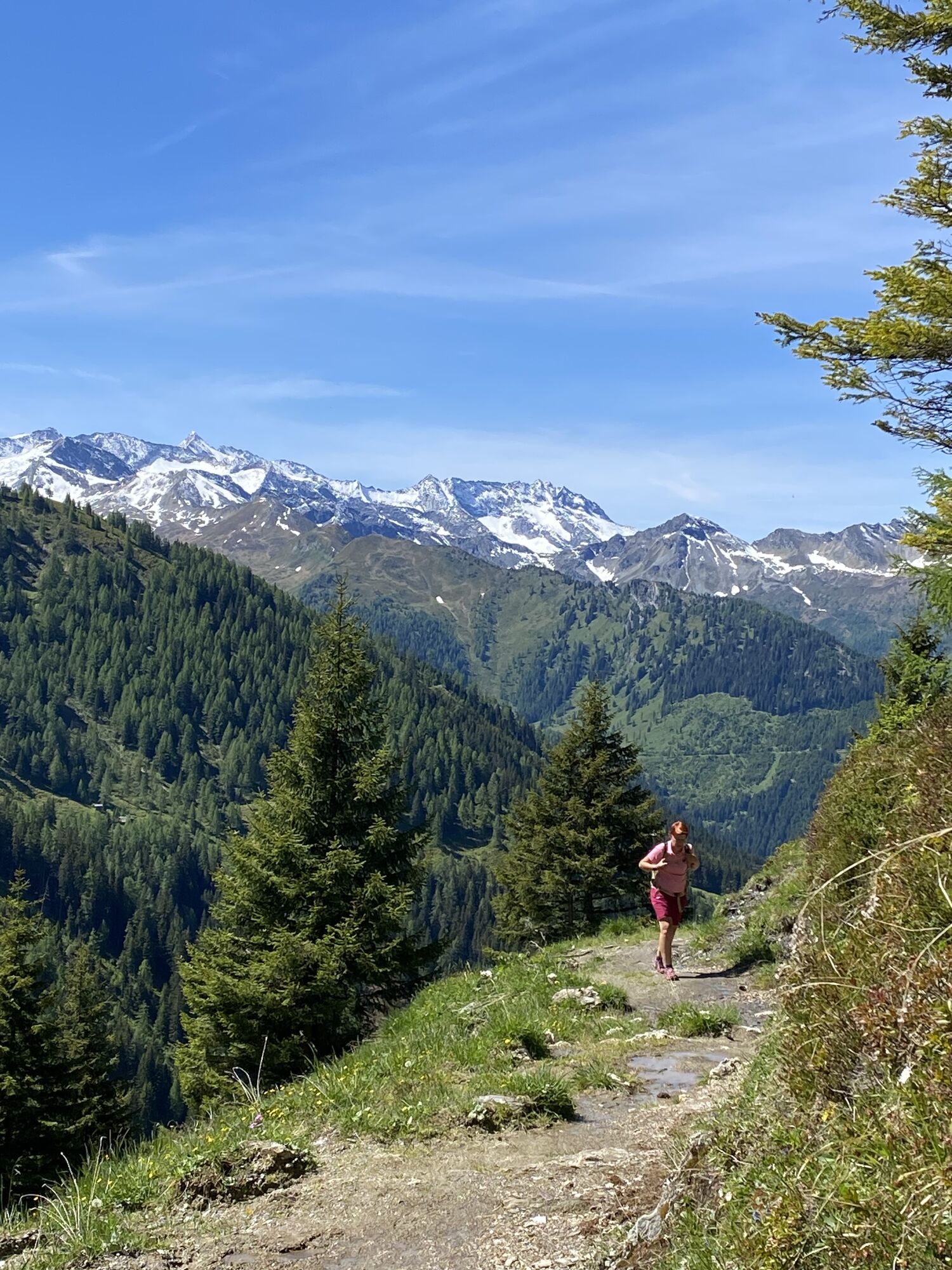
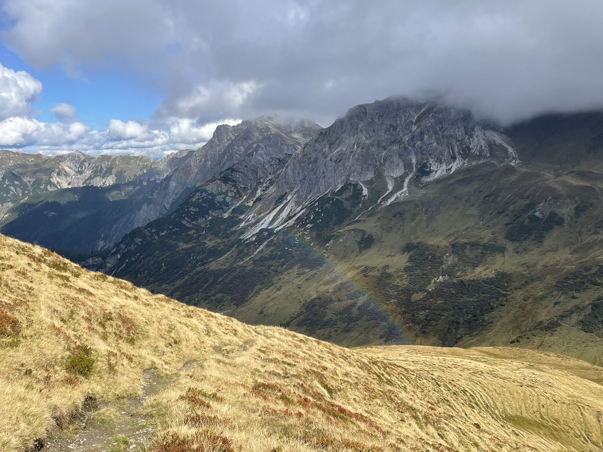
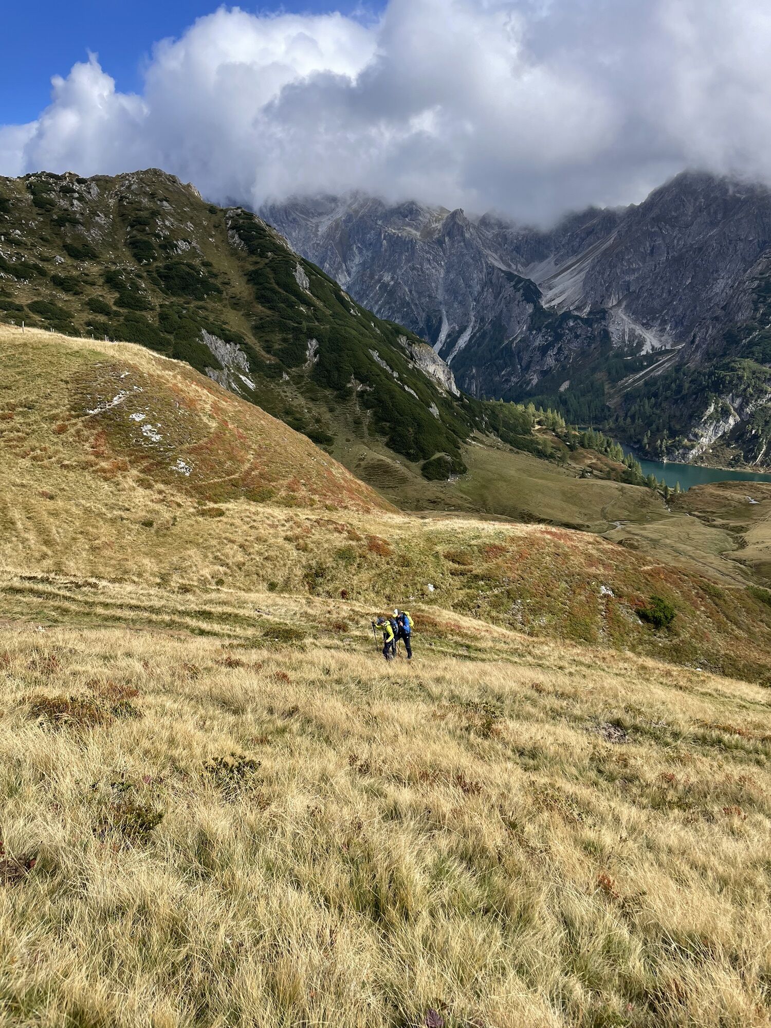
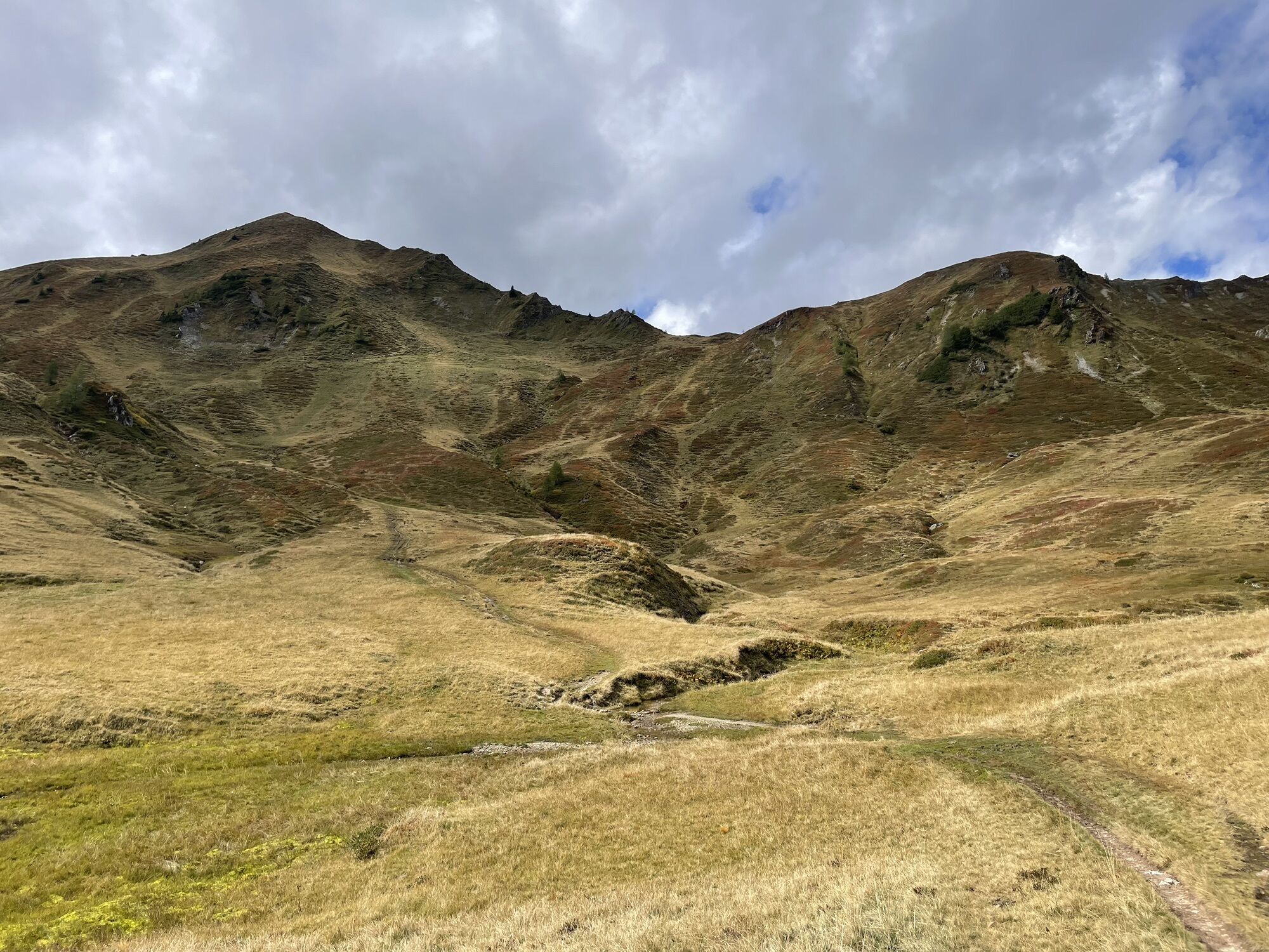
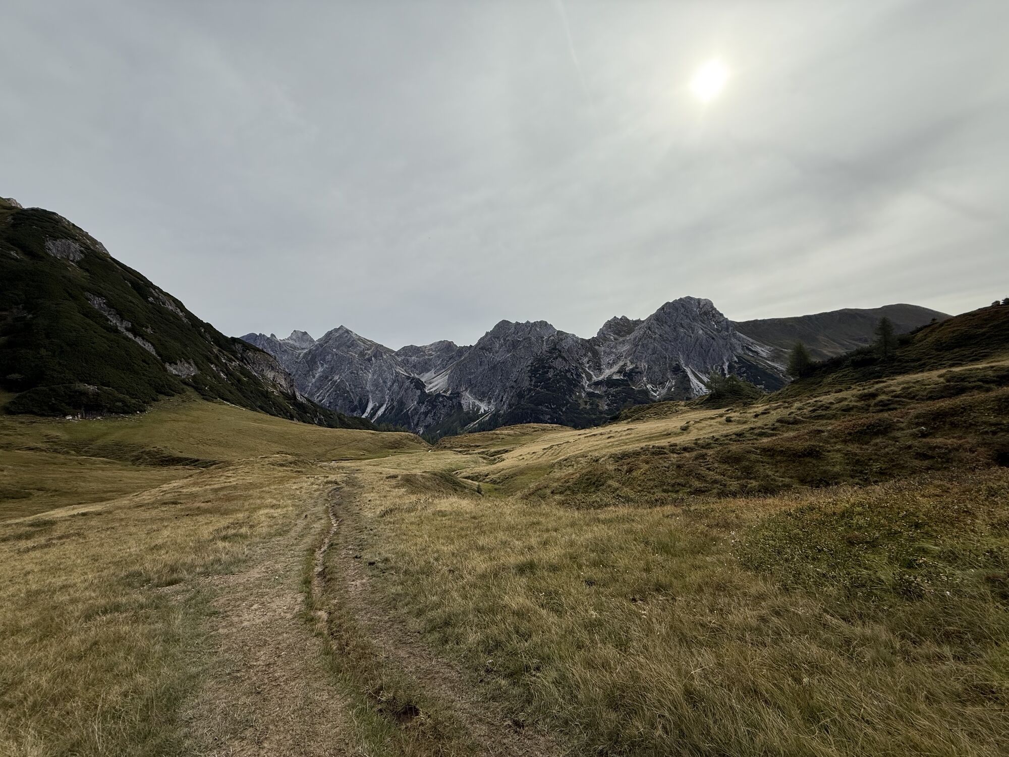
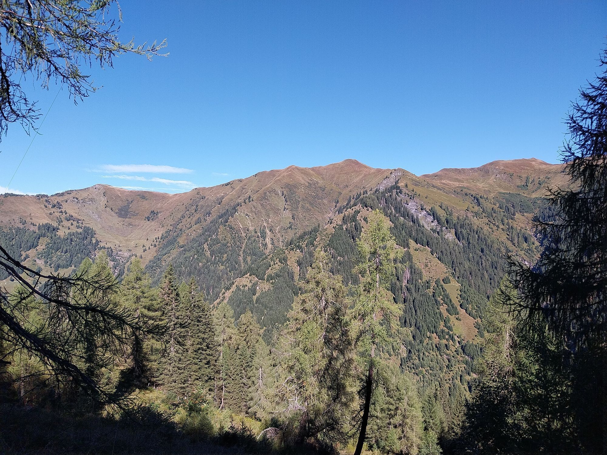
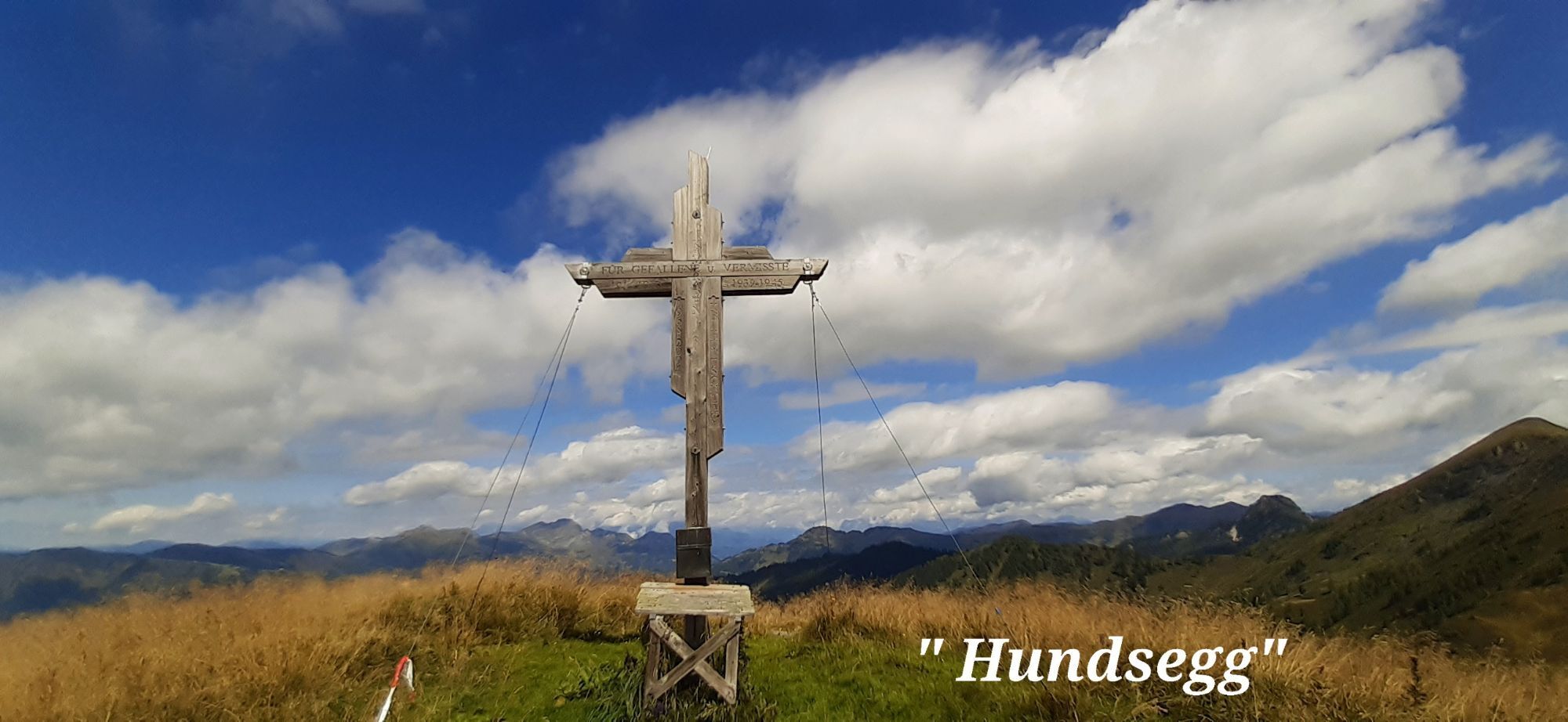
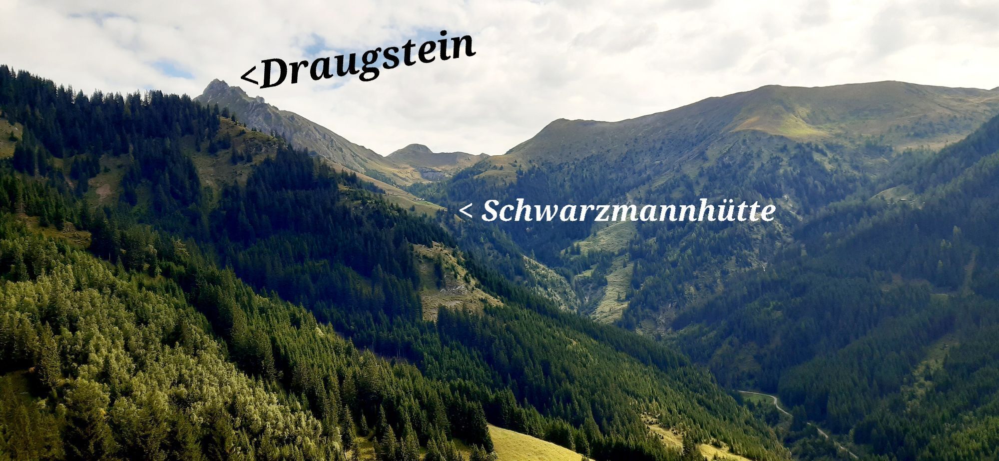
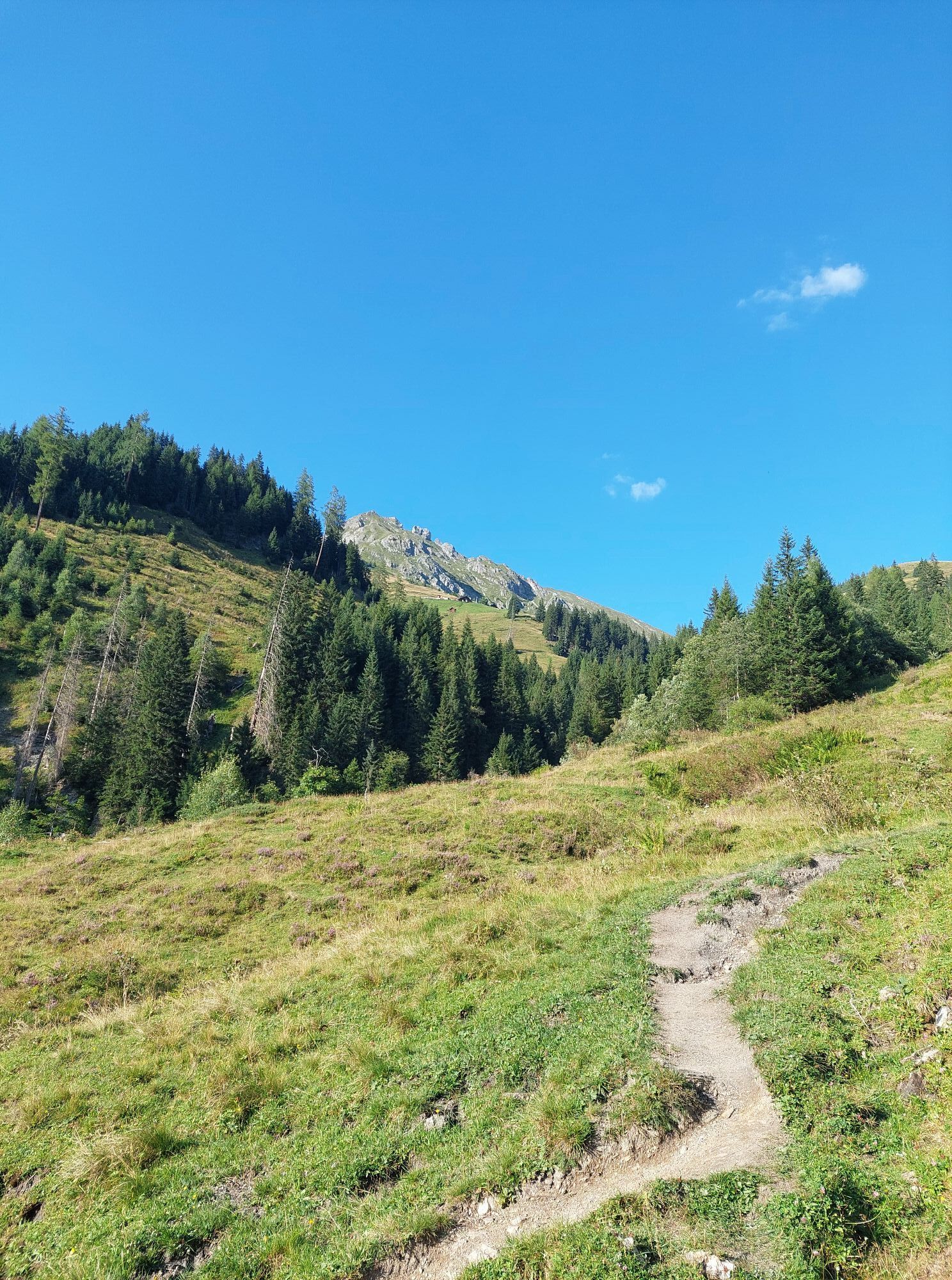
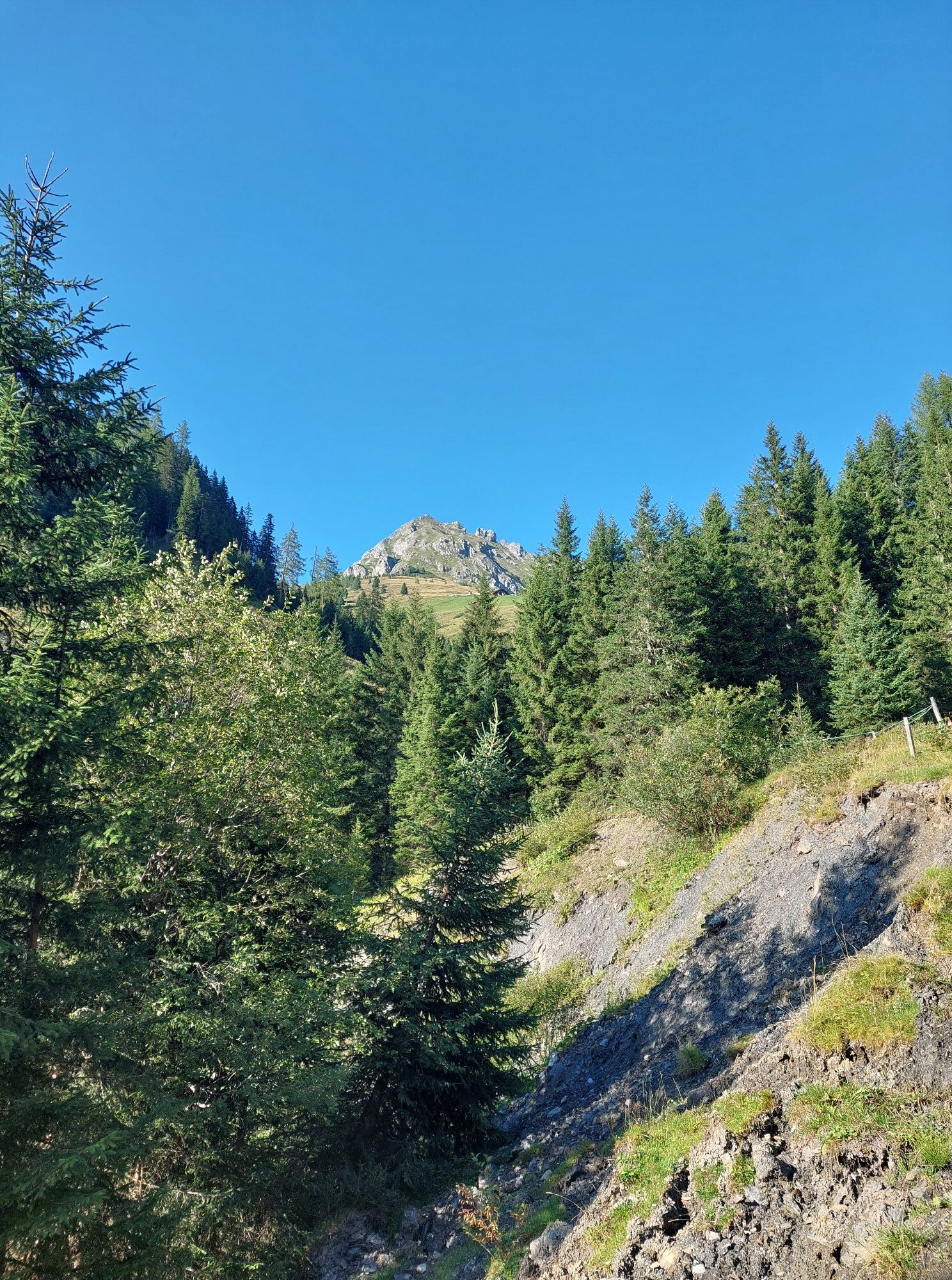
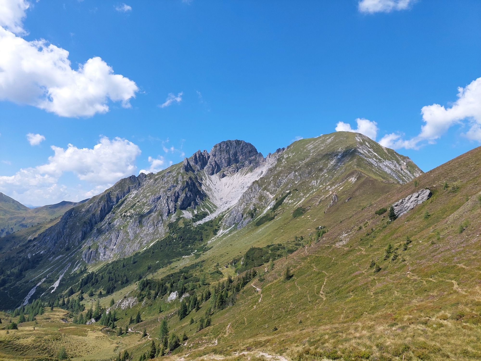
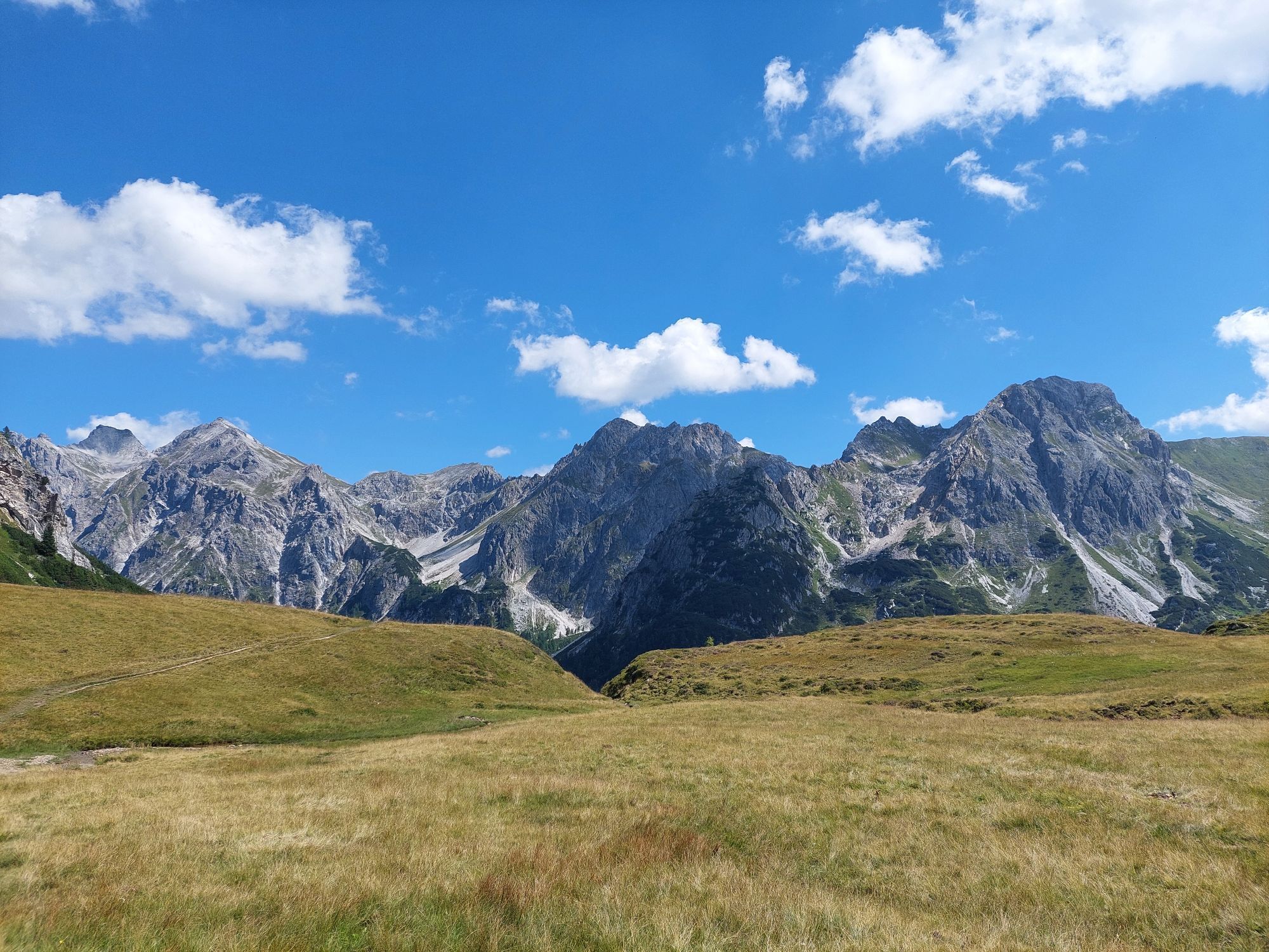
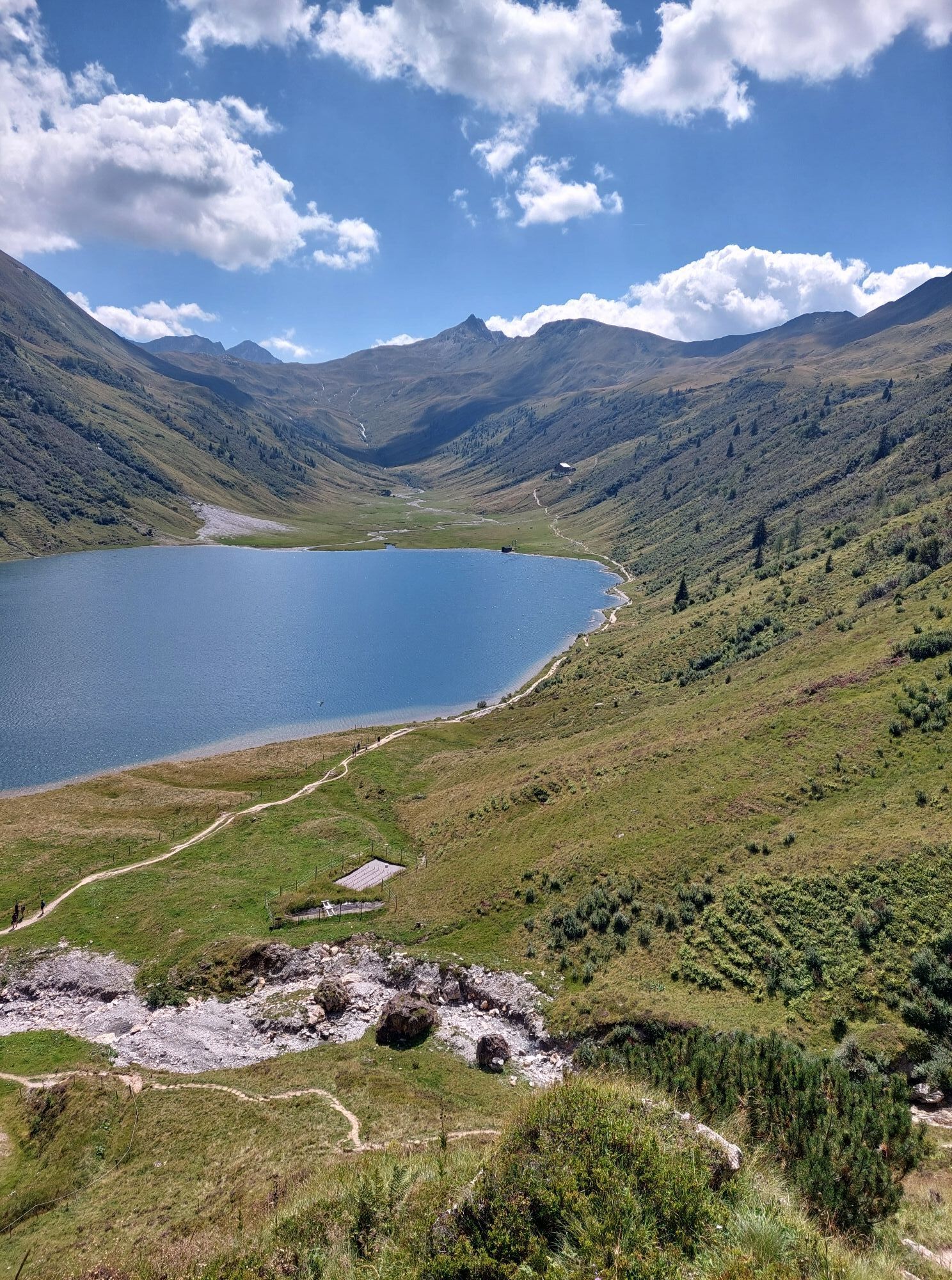
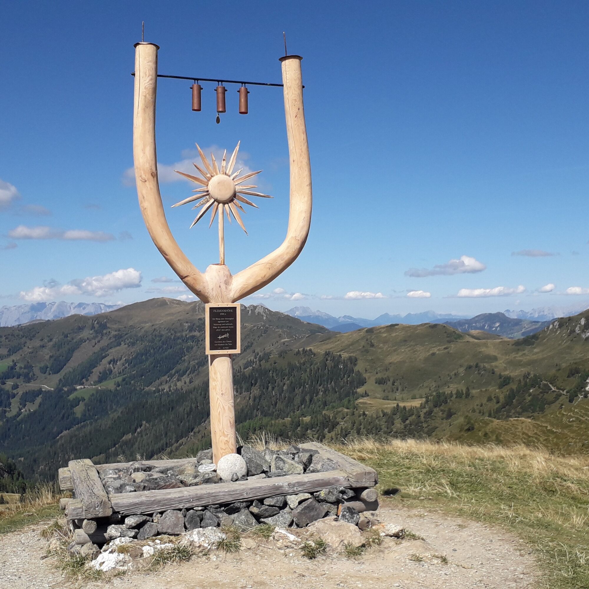
The hike starts at the Hallmoosalm in Hüttschlag. First, you have to walk a short stretch downhill until you cross the Karteis ravine. From now on, it goes uphill to the Schleglalm. However, this hut is not serviced. Uphill, you continue to the local mountain of Hüttschlag, the Hundegg. From here, you have a beautiful view of Hüttschlag. Over the Spielkogel, continue to the Stangersattel, where you meet the Ellmautal high trail. Then you continue to the Filzmooshöhe. Ahead you see the majestically overlooking Draugstein over the Ellmautal. This mountain is one of the three limestone mountains in our valley.
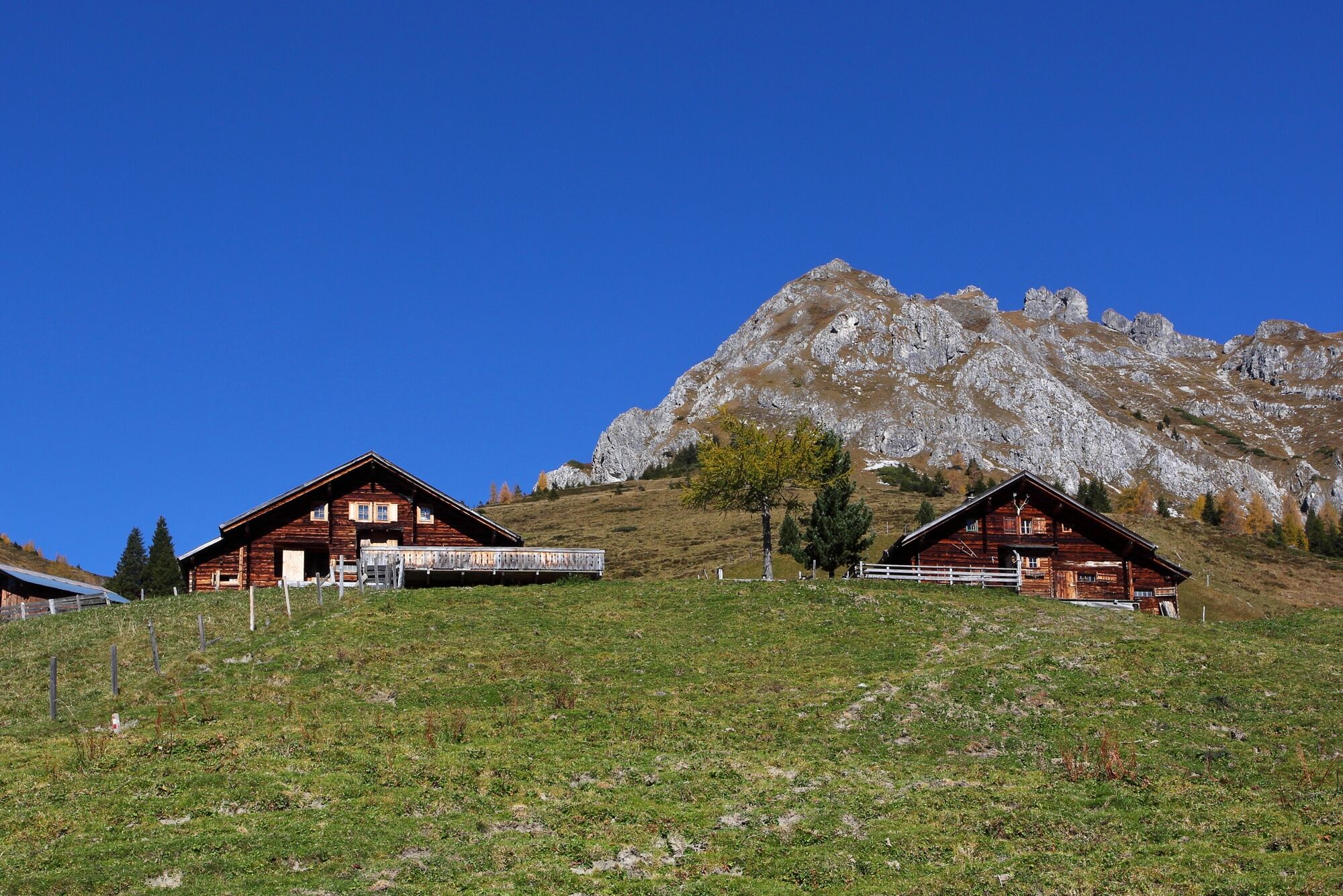
Finally, you reach the Filzmoossattel. Directly at the saddle is a beautifully designed gentian, the symbol of the Salzburg alpine pastures trail, which also includes the section from the Draugsteinalms to the Filzmoossattel as well as from the Draugsteinalms to the Tappenkarsee and further to the Karteisalm and finally to Hüttschlag. Two alpine huts await you at the Draugsteinalm, the left is the Schrambachhütte, the right the Steinmannhütte. Both offer delicacies from their own production (cheese, butter, bread, bacon, sausage, schnapps) and you can spend the night at both. But please reserve the beds in advance!
Day 2:
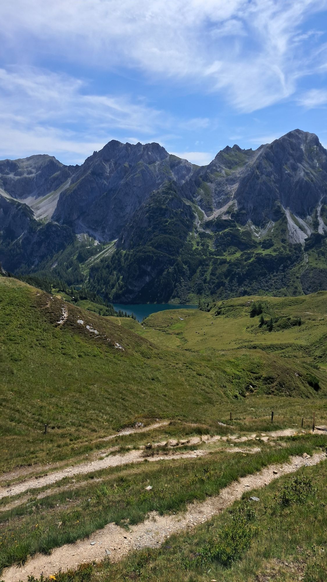
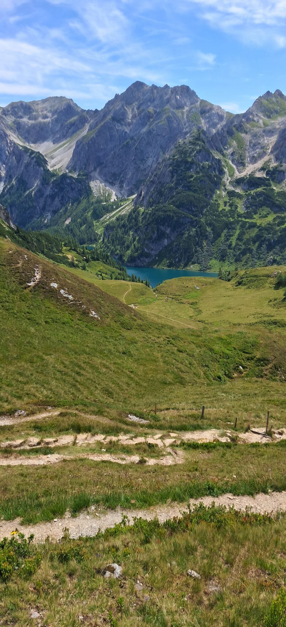
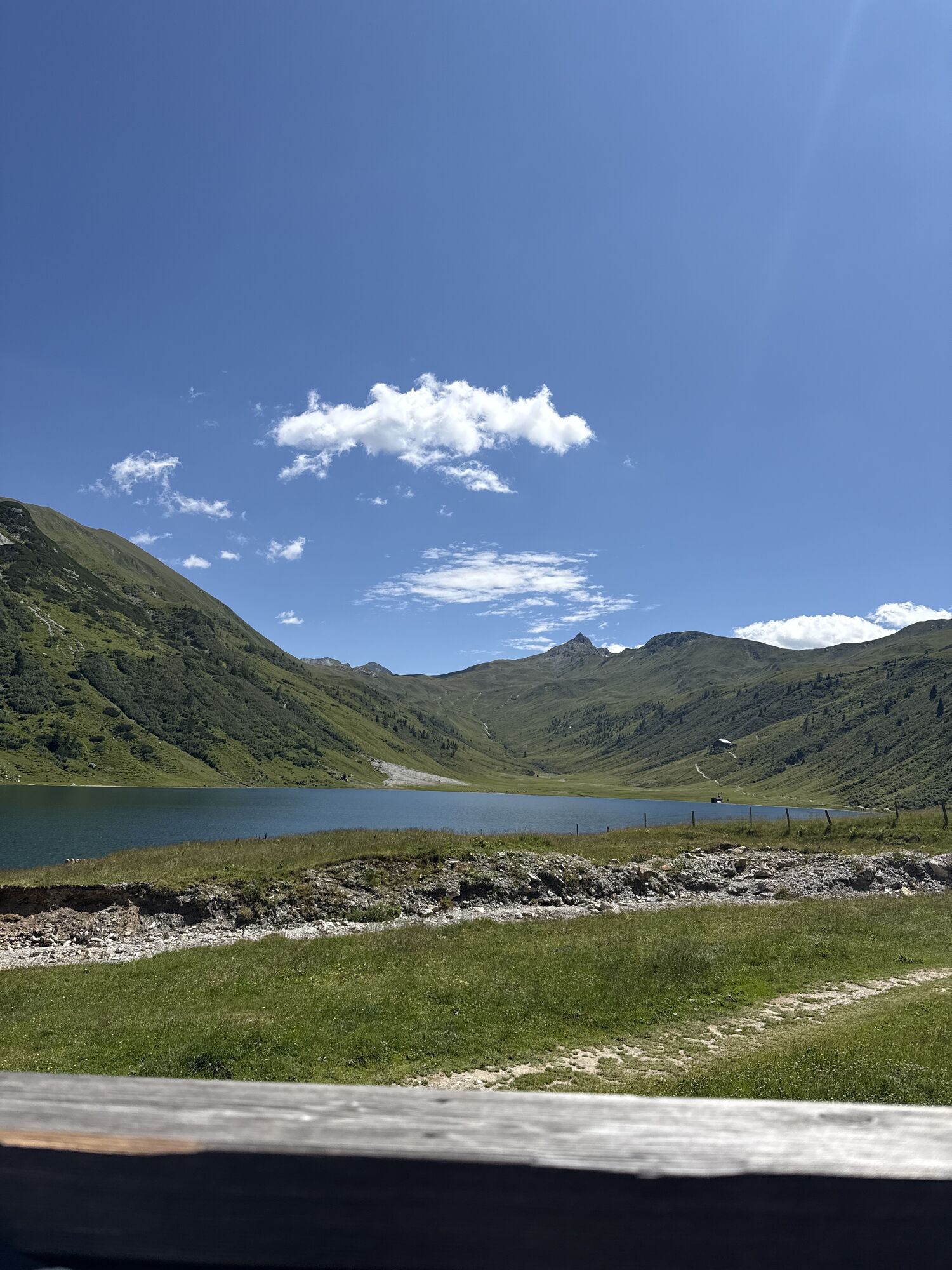
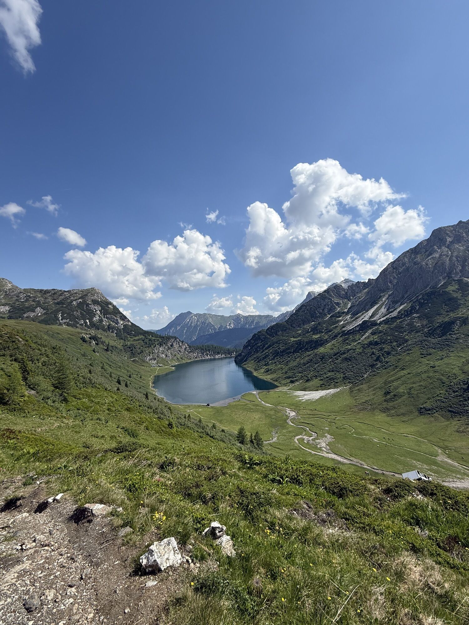
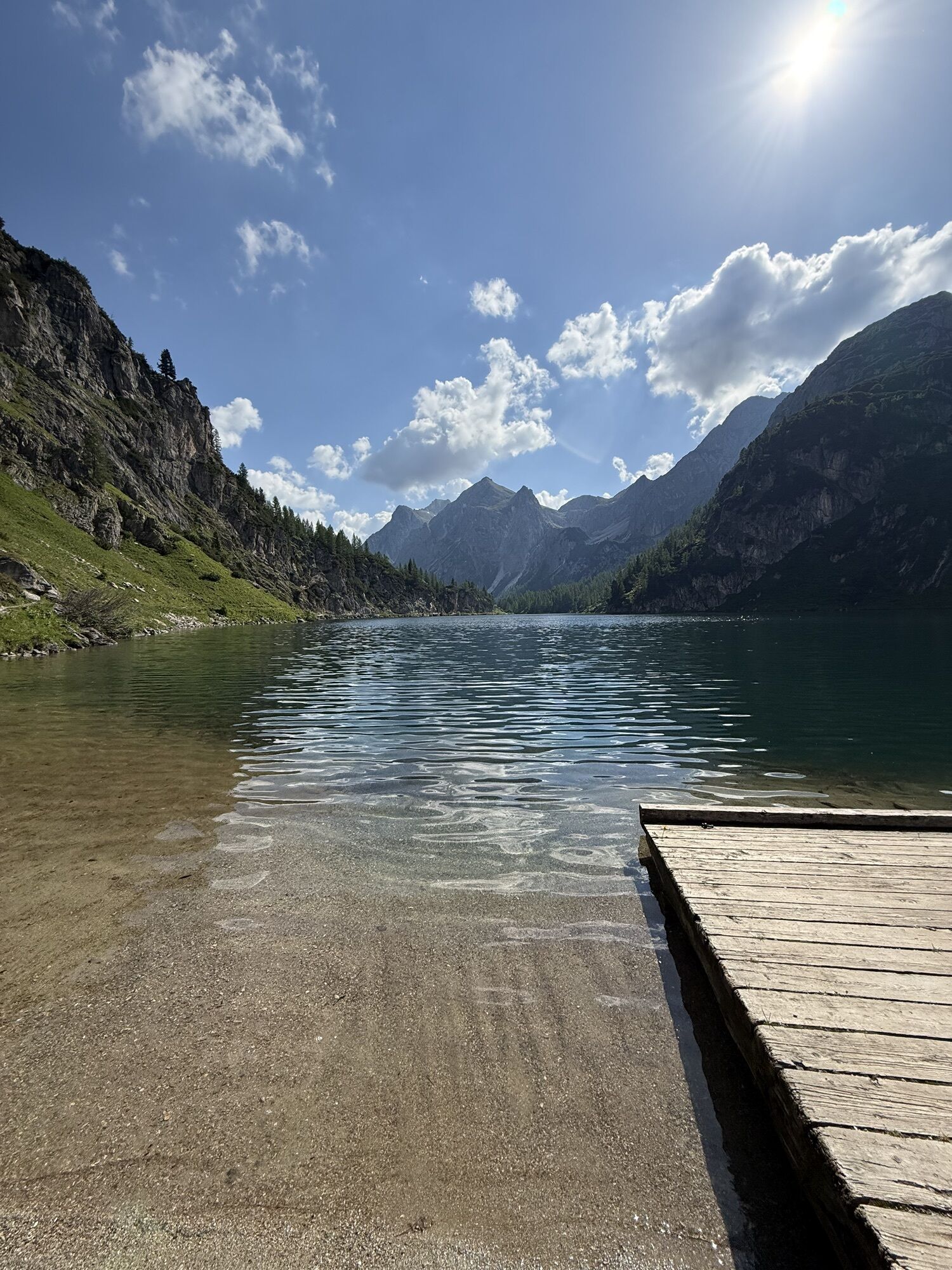
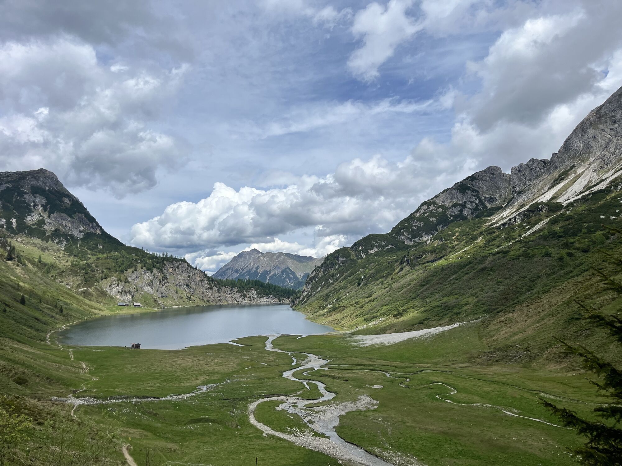
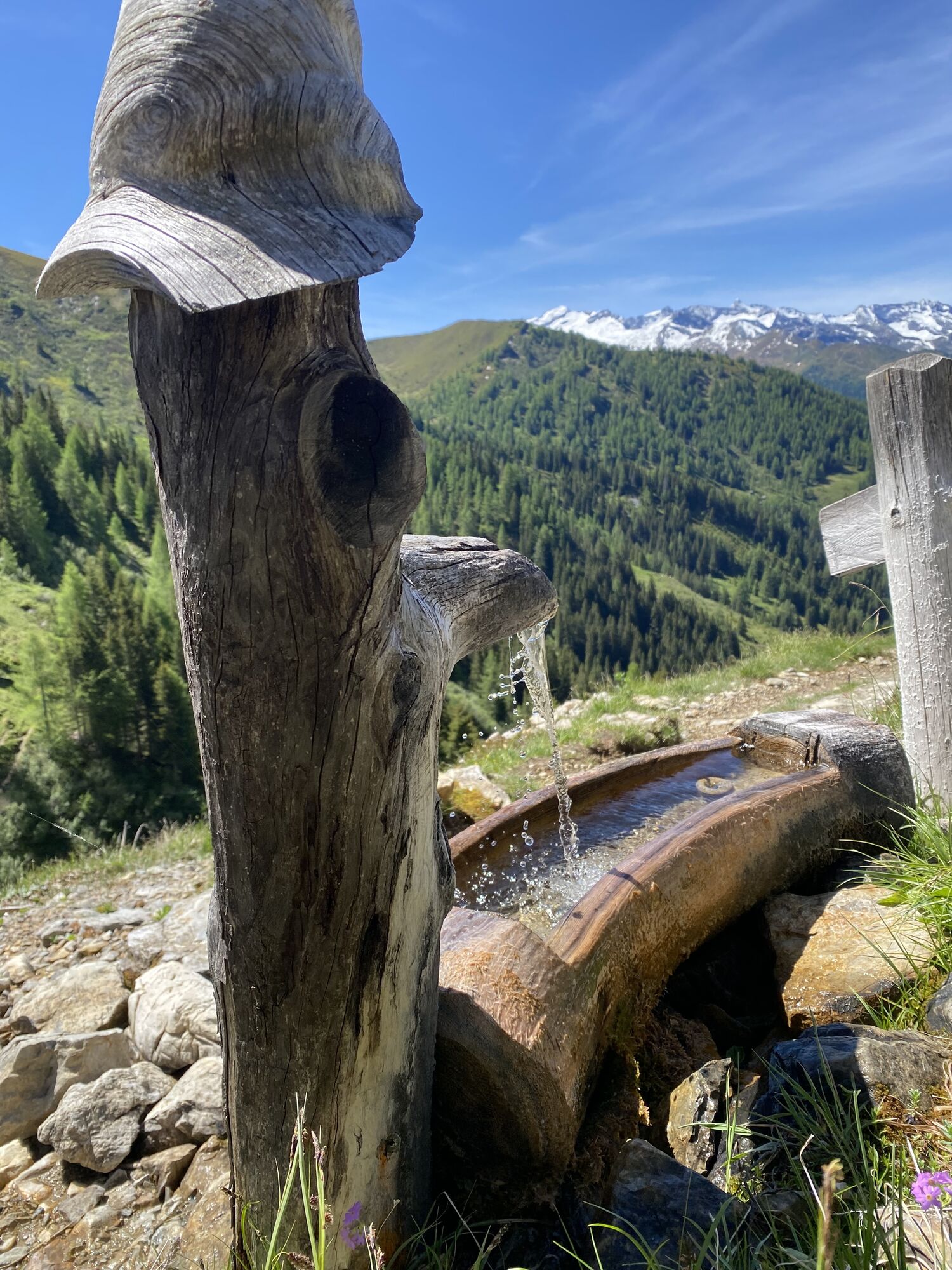
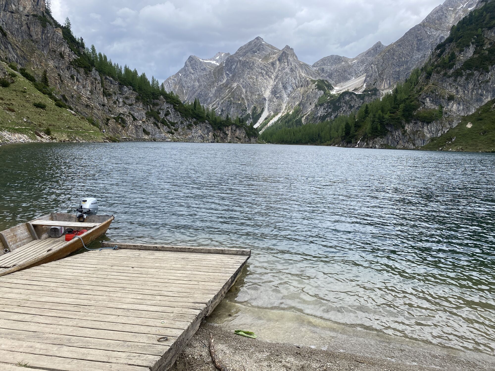
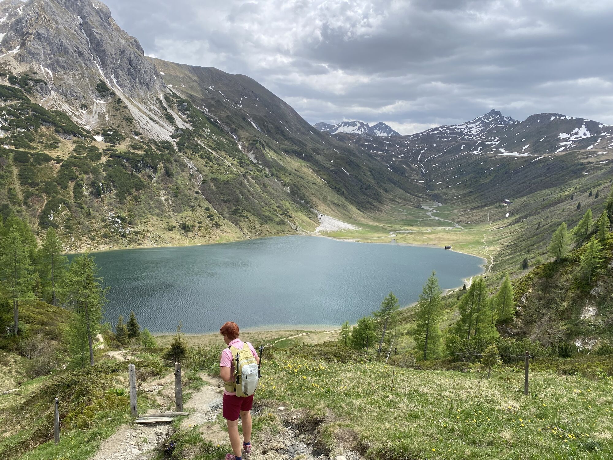
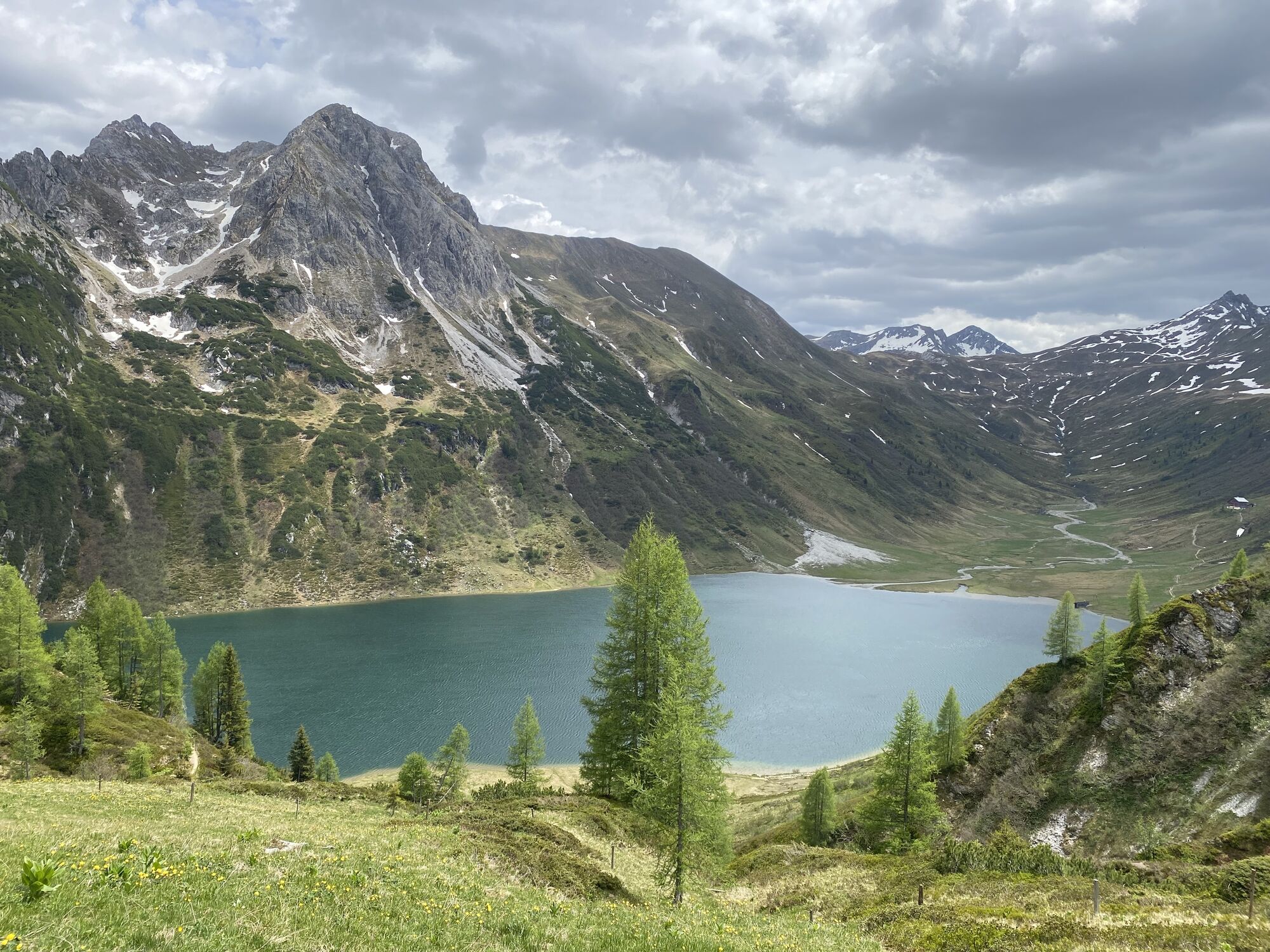
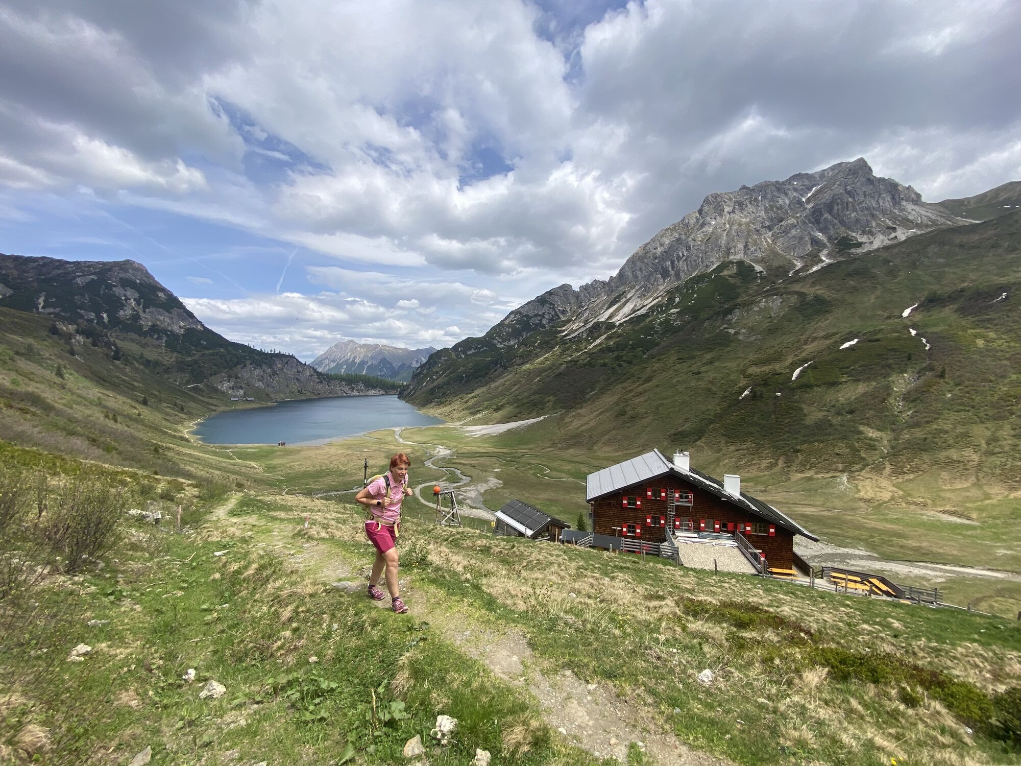
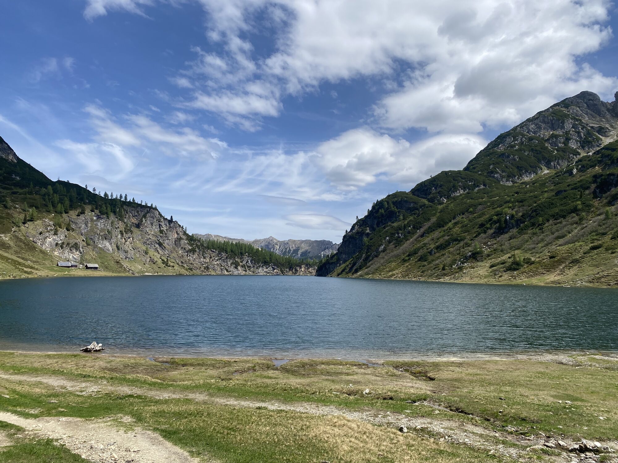
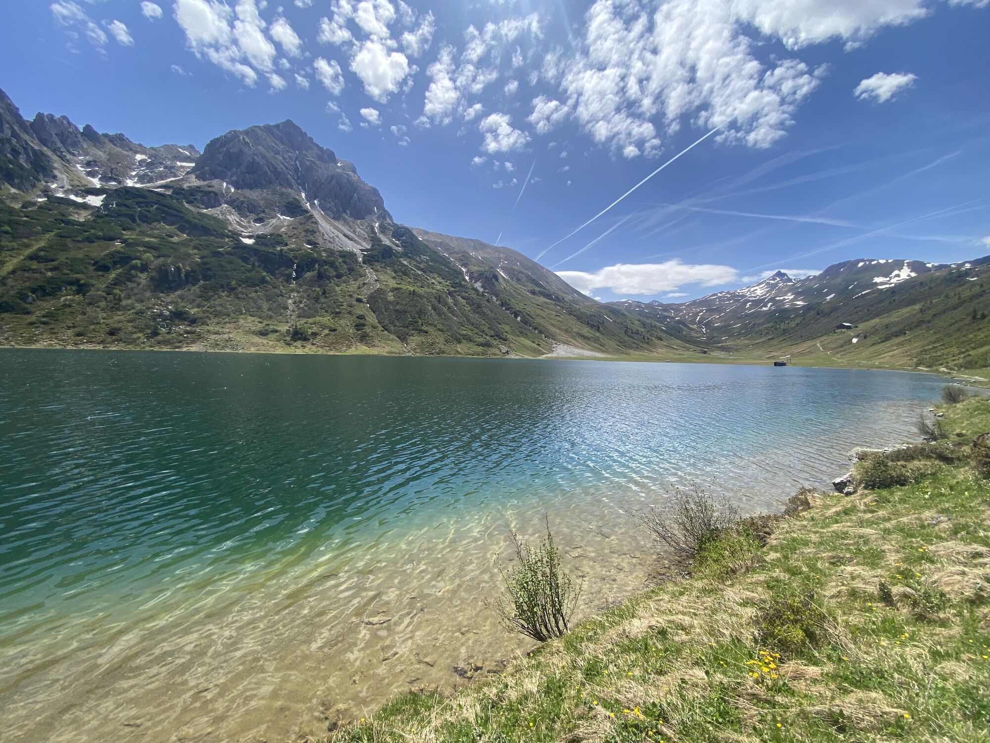
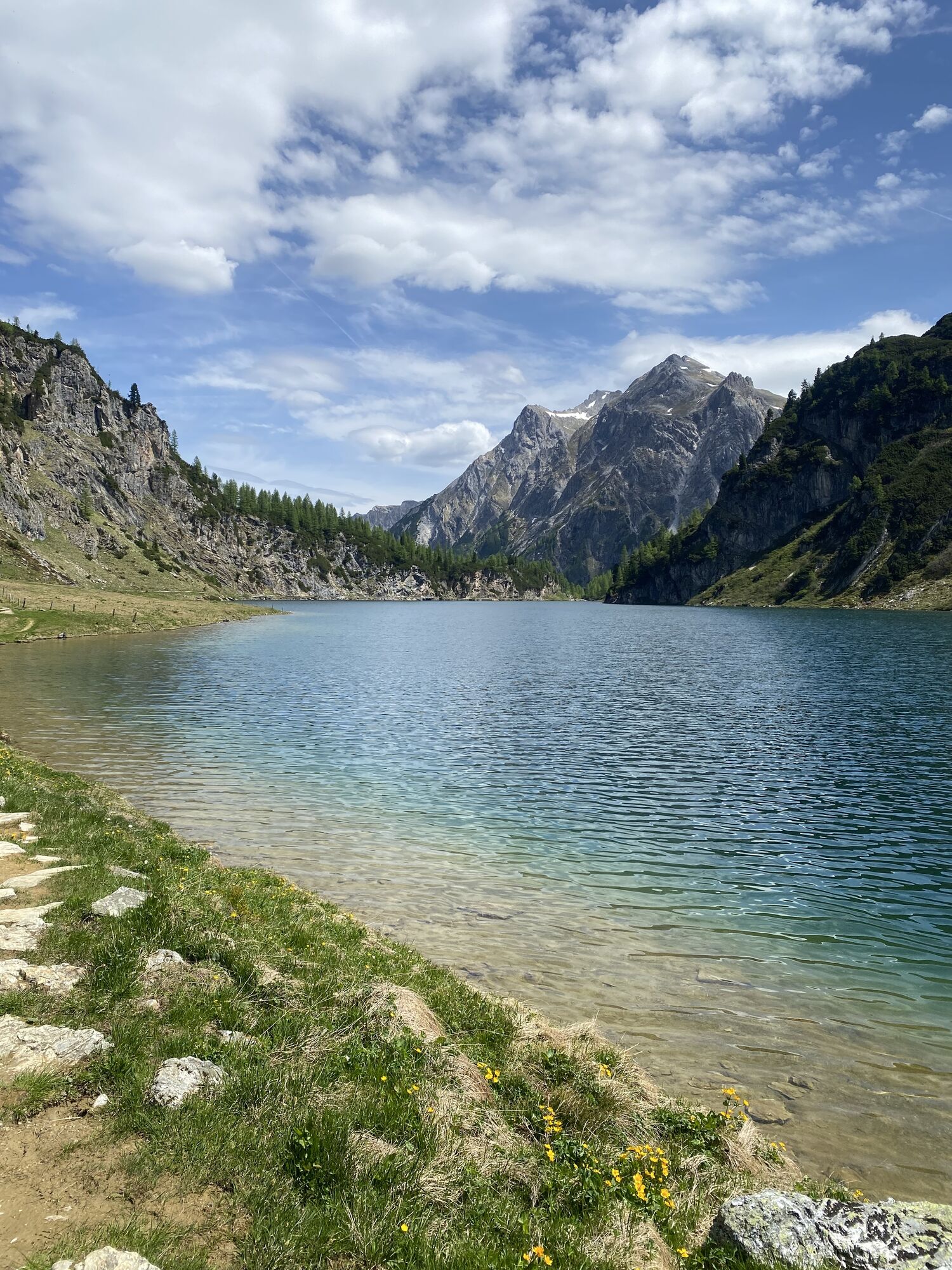
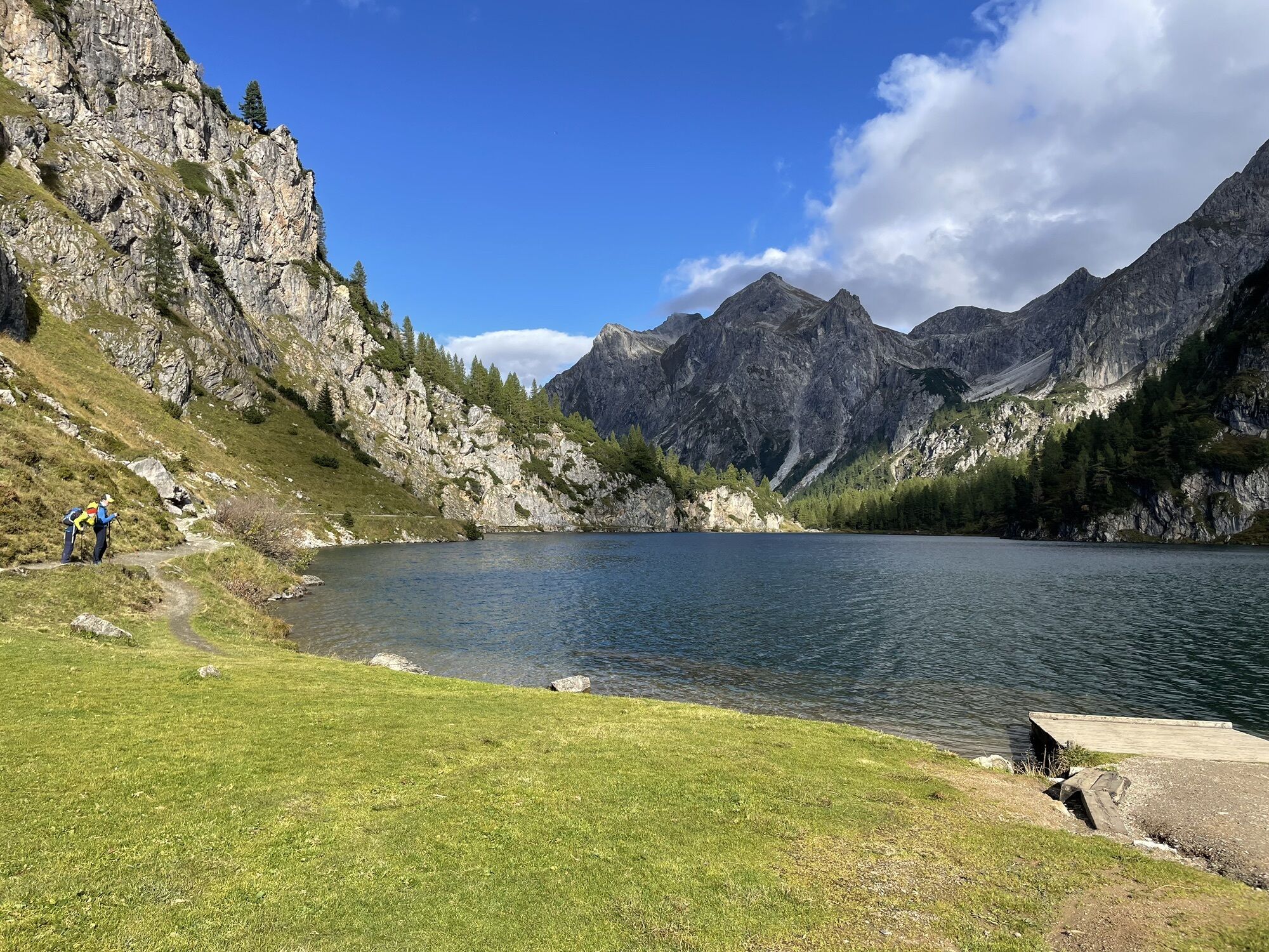
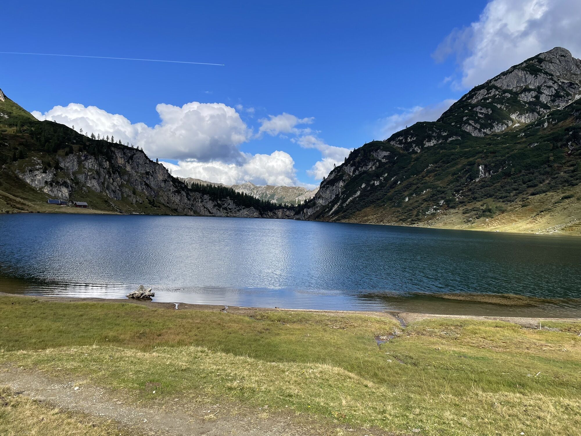
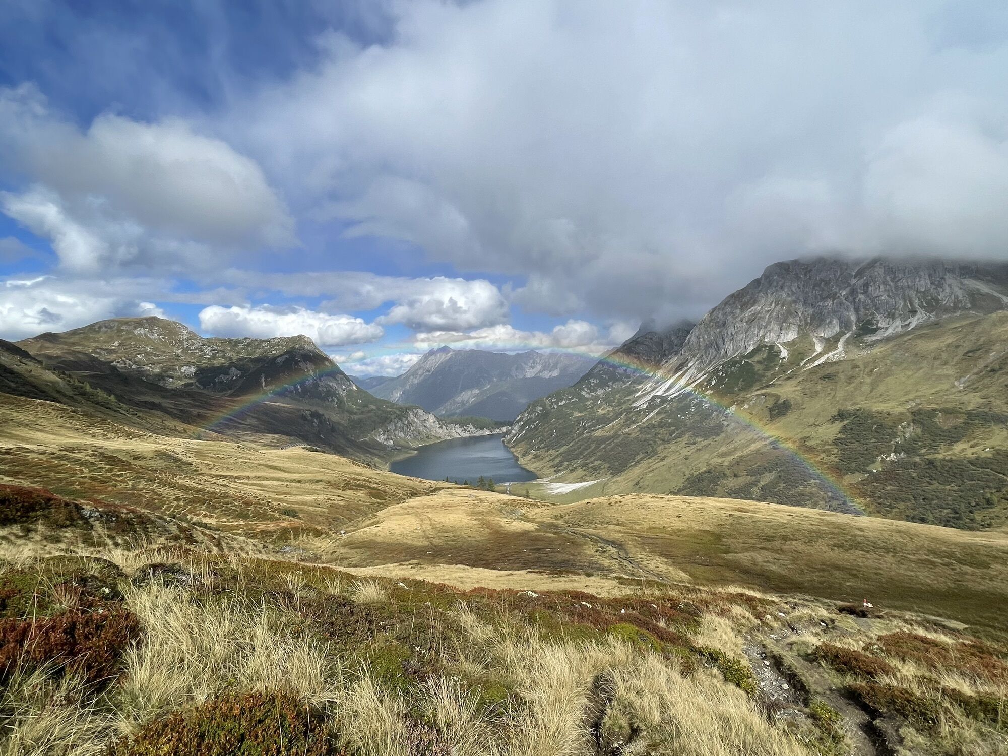
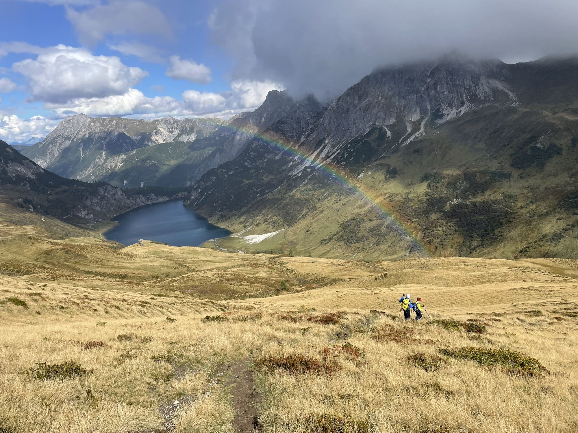
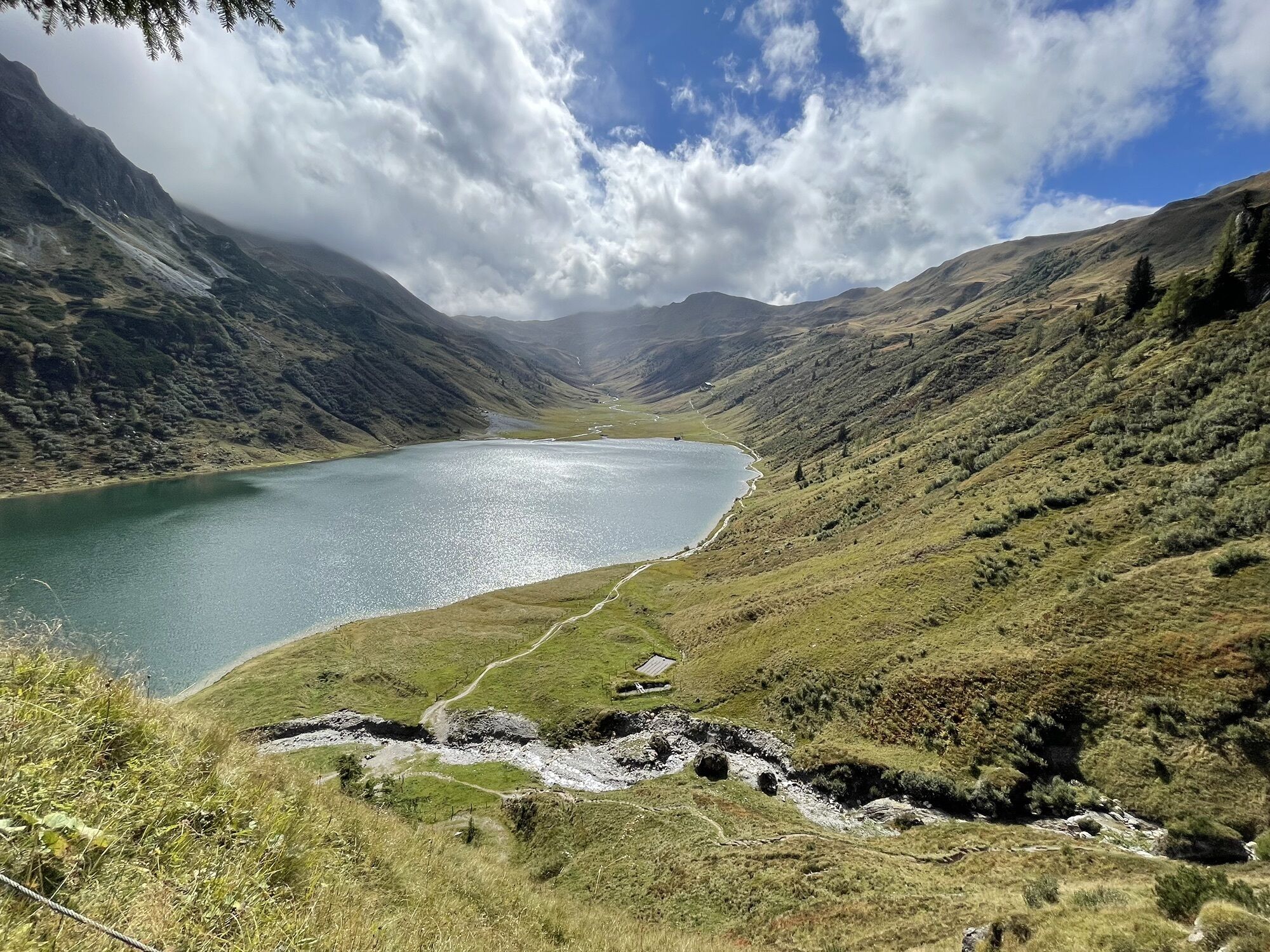
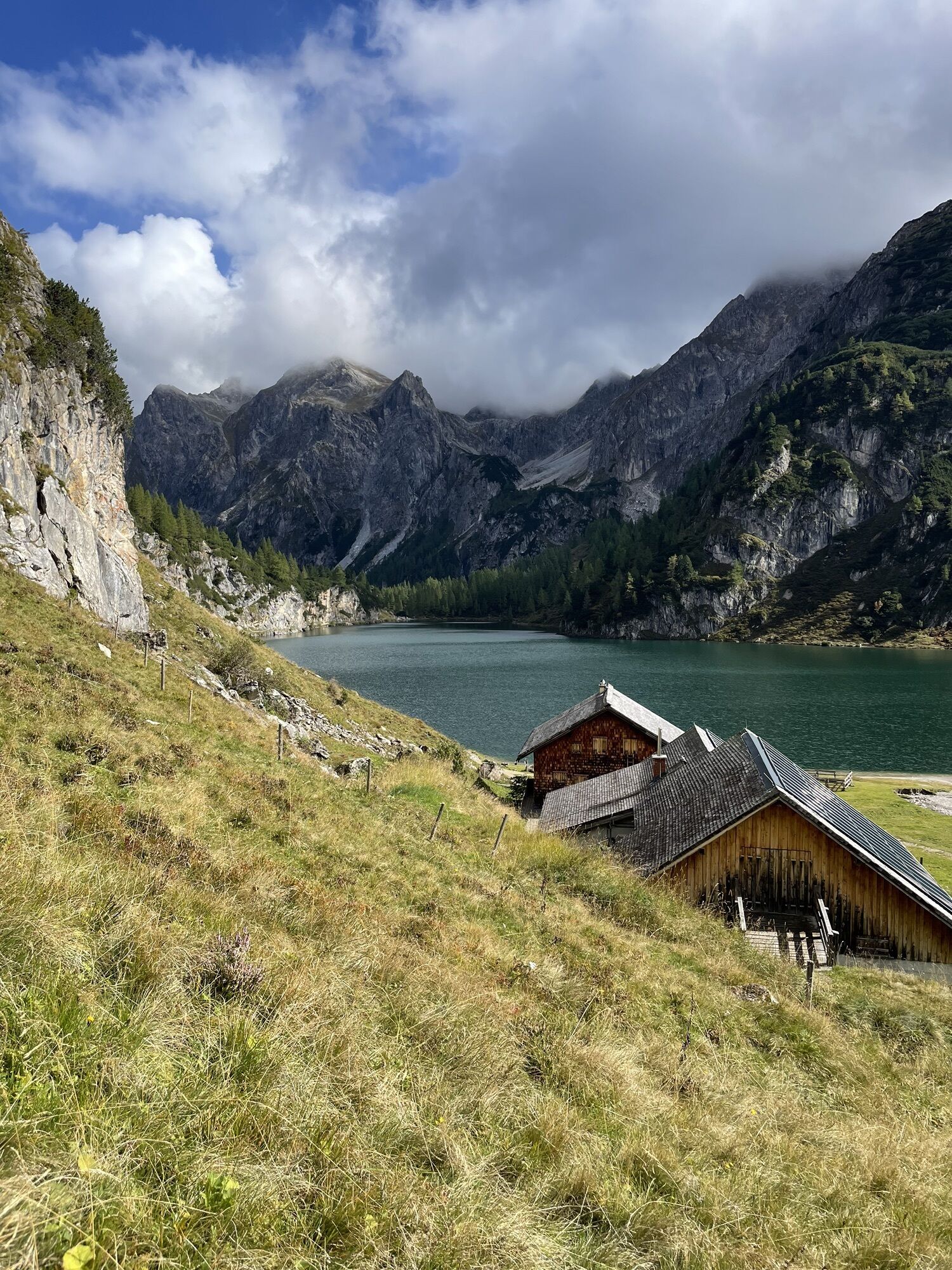
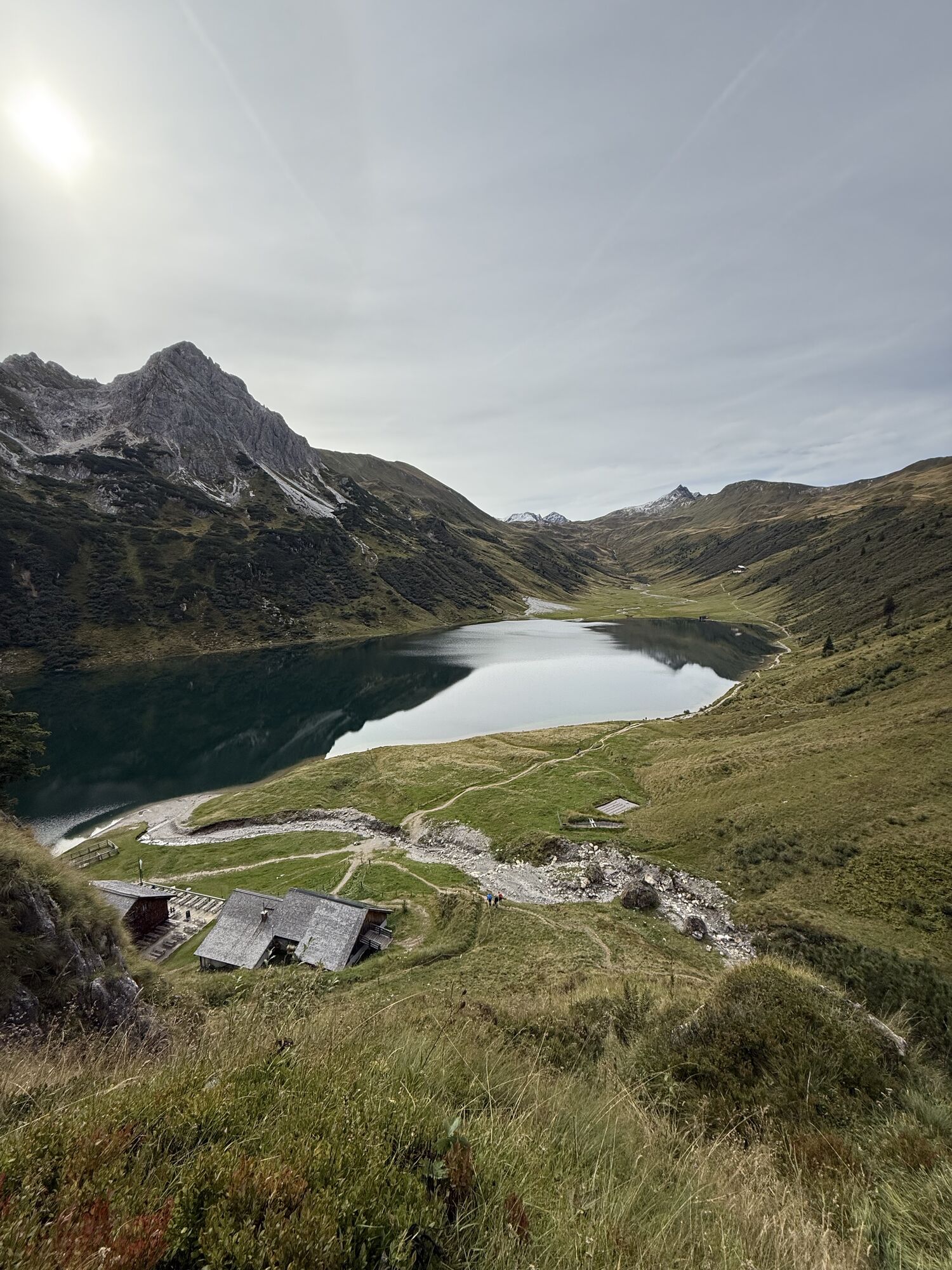
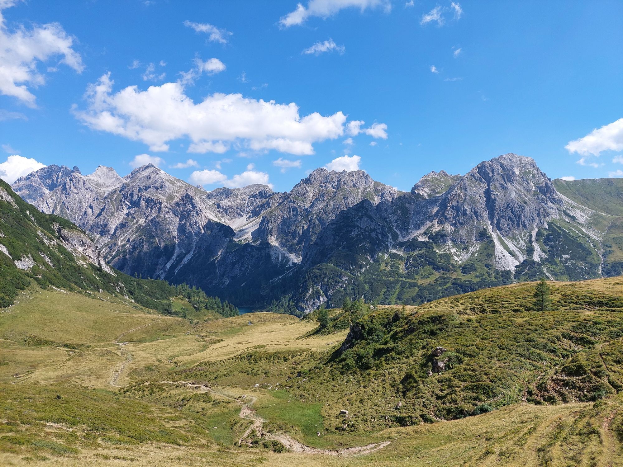
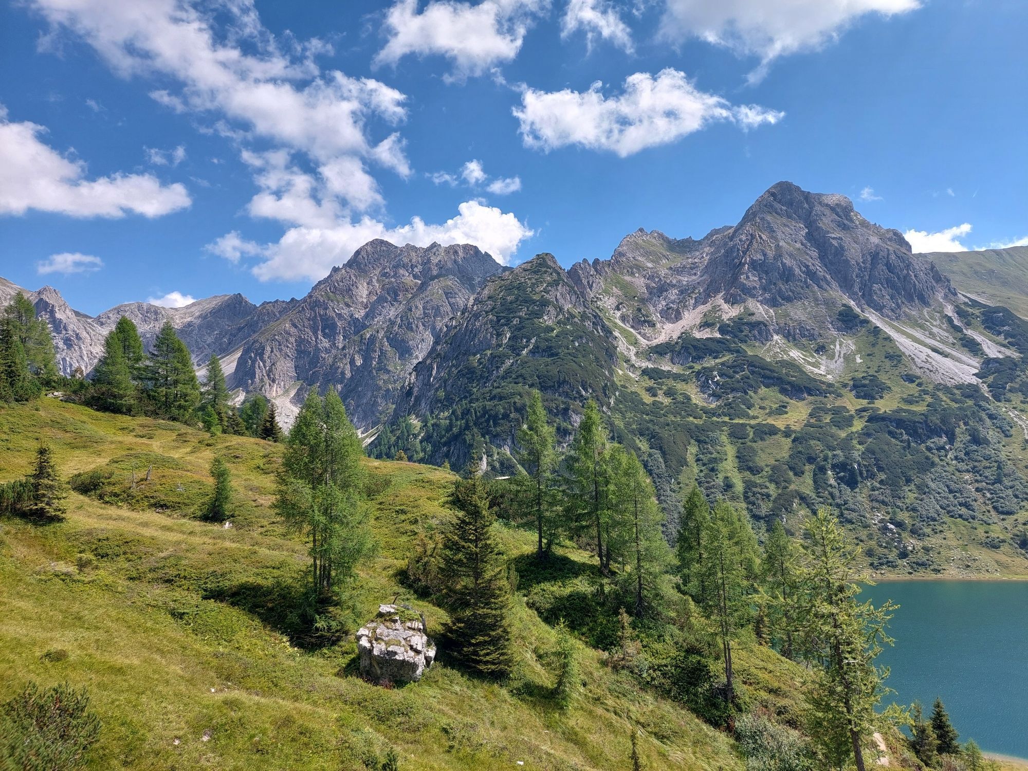
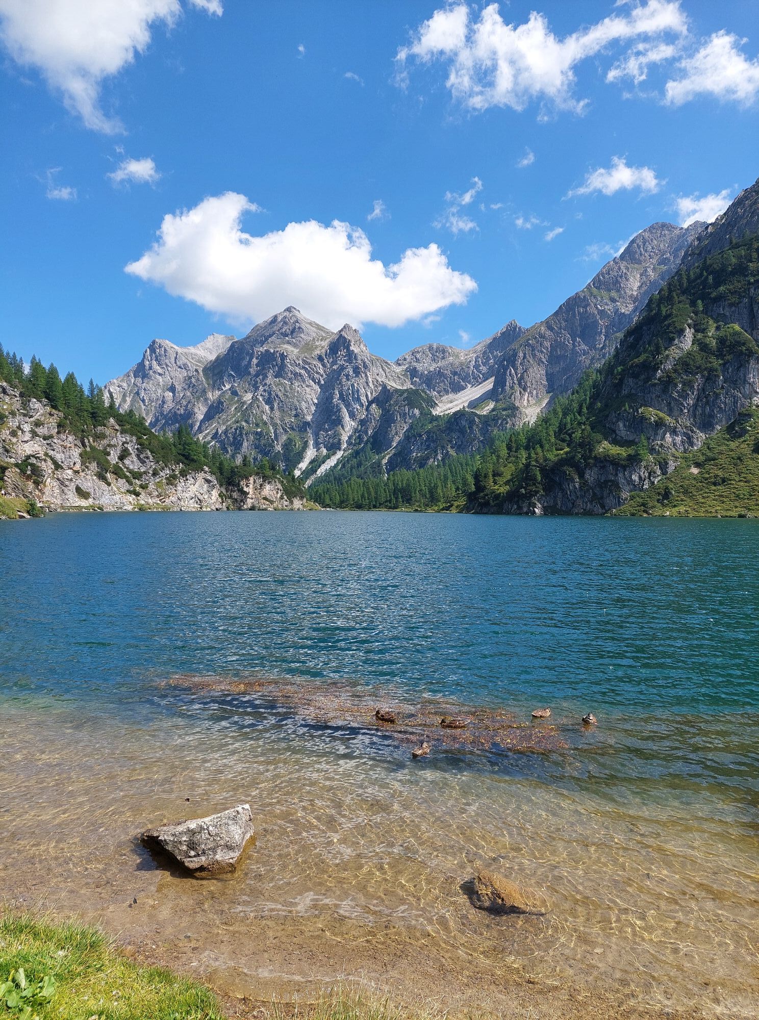
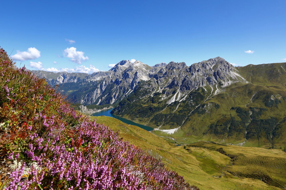
You will be awakened by the ringing of cowbells. After a hearty alpine breakfast, the path leads you to the Draugsteintörl. From here, you already have a beautiful view of the Tappenkarsee, the largest mountain lake in the Eastern Alps. The descent to the lake is via a hiking trail. (Alternatively, you can also hike along the ridge to the Karteistörl.) According to legend, the Tappenkarsee is connected to the Schuhflickersee because a wagon wheel that once fell into the Tappenkarsee was found in the Schuhflickersee... The Tappenkarseehütte is an alpine club hut and offers accommodation. Especially popular here, besides the mountaineer's hash, is also the blueberry pancake. After a cozy rest, you hike back uphill to the Karteistörl. Here you simply have to turn around once again and take a look at the Tappenkarsee. Then go to the Karteisalm, which is currently not managed. Shortly after the alpine pasture, there is a small fountain - the water in our valley is everywhere of drinking water quality. Through the spruce forest, it goes downhill to the Hallmoosalm, the starting point of the route.
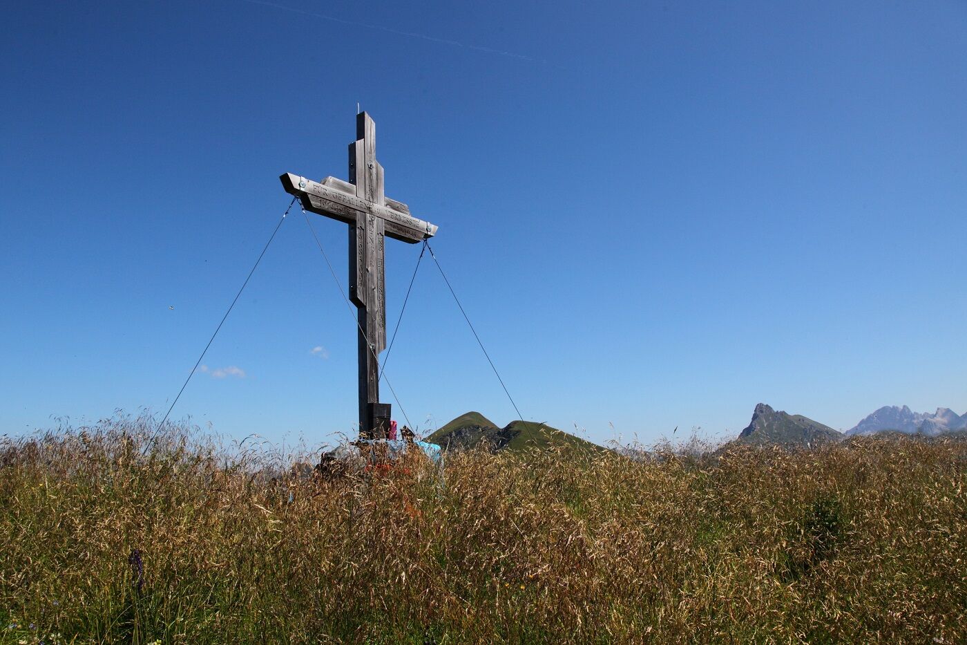
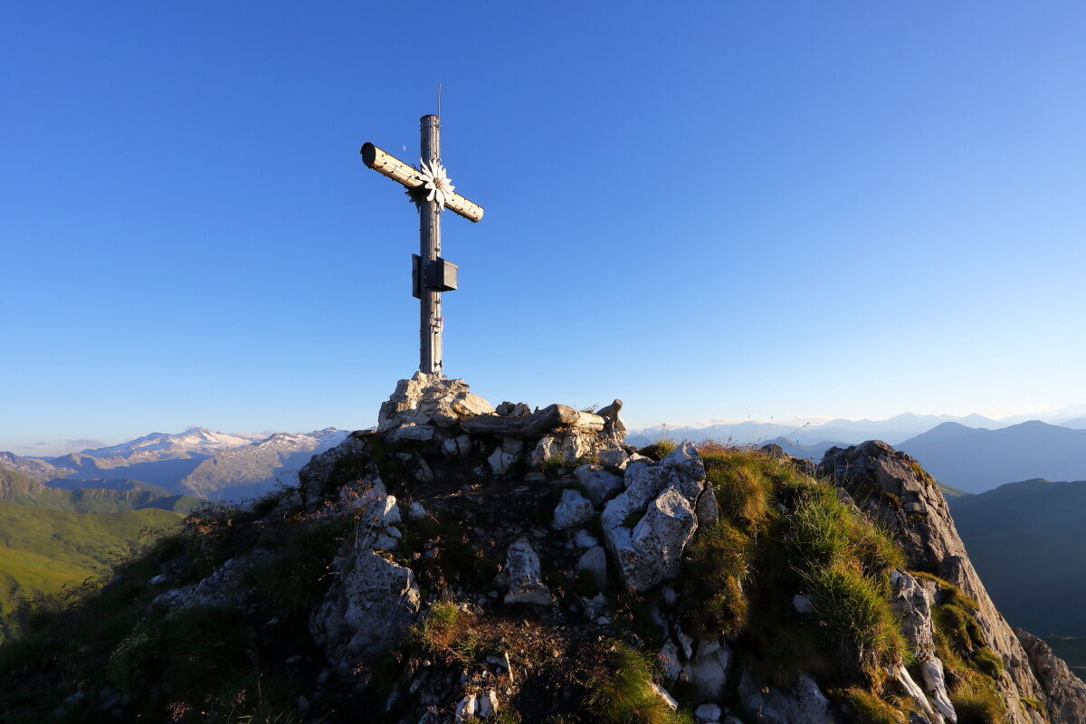
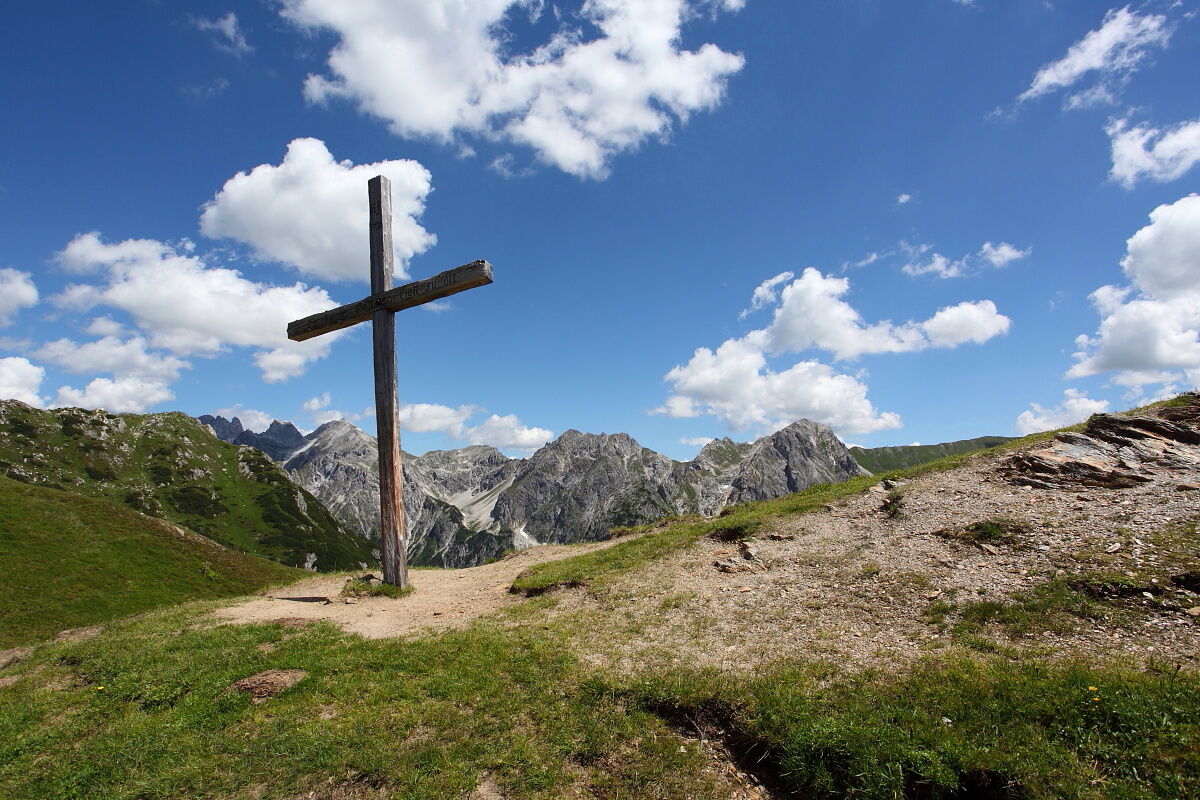
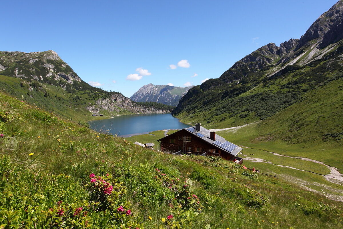
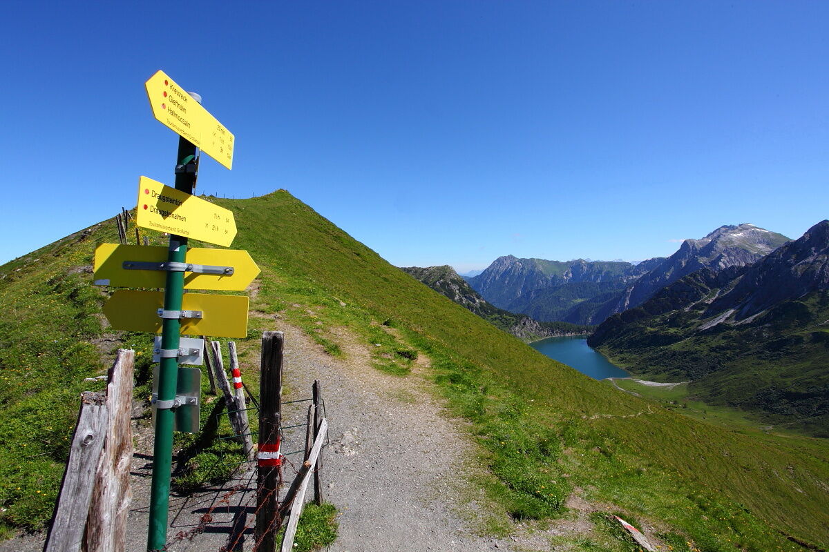

Drive by car or hiking taxi via the Seilsitzberg forestry road (Hüttschlag/Karteis) to Hallmoosalm, 1,300 m (not serviced) – parking available. Crossing the Karteis ravine on the new forest road and hiking on trail no. 55A via Schleglalm, 1,566 m (not serviced) to the Hundegg, 2,079 m (approx. 2 1/2 hours). Continue on trail no. 55 over the Spielkogel, 2,201 m to the Stangersattel. There you meet trail no. 64 and follow it to the Filzmoossattel, 2,062 m (approx. 1 1/2 hours). Descent on trail no. 54A to the two Draugsteinalms, 1,778 m (approx. 1 1/4 hours) – overnight stay at the Steinmannhütte or Schrambachhütte. Total walking time: approx. 5 1/4 hours
Day 2:
Ascent on trail no. 54 to the Draugsteintörl, 2,077 m (approx. 1 hour). Descent on trail no. 12 to the Tappenkarseealm, 1,768 m (approx. 1/2 hour), then hiking along the Tappenkarsee to the Tappenkarseehütte, 1,820 m (approx. 1/2 hour). Ascent on trail no. 721 to the Karteistörl, 2,145 m (approx. 3/4 hour). OR ALTERNATIVELY: hike on trail no. 54 from the Draugsteintörl directly to the Karteistörl (approx. 2 hours). Descent on trails no. 53, 721 to the Karteisalm, 1,661 m (approx. 1 1/2 hours – not serviced) and continue on the same trail to the Hallmoosalm, the starting point of the route (approx. 1 hour). Total walking time: approx. 5 1/4 hours
Áno
Áno
Hiking boots with profile sole, some fruit, drinks (refillable bottles), wind and rain protection, toiletries, warm clothes and spare clothes, flashlight, mini first aid kit, hiking map, sunscreen, chocolate or muesli bars, …
Drive by car or hiking taxi to Hallmoosalm in Hüttschlag. You can also take the Postbus line no. 540 to the "Karteis" stop and walk from there (approx. 1 hour to Hallmoosalm).
Parking Hallmoosalm – there are parking spaces directly at Hallmoosalm & more higher up.
For all those who want a real summit experience: the Draugstein, 2,359 m, is an option on both the first and second days (about 1 hour ascent and 1 hour descent). The view from up here is simply unique. But CAUTION: freedom from dizziness and sure-footedness are prerequisites.

Webové kamery z prehliadky
Získajte prehľad
Vždy naživo na mieste s viac ako 9 500 webovými kamerami. bergfex Ako používateľ Pro si teraz môžete pozrieť príslušné webové kamery pre mnohé zájazdy v aplikácii zájazdy z. Môžete si tak priamo prezerať aktuálne podmienky.
Aktivity počas prehliadky


Obľúbené výlety v okolí
-
5,0
Hüttschlag: Karteistörl - Tappenkarsee - Draugsteintörl - Draugsteinalmen
strednáTuristika 13,5 km -
4,9
Großarl: Aualm - Liechtensteinkopf - Aukopf - Schuhflicker - Schuhflickersee
strednáTuristika 5,84 km -
4,2
Tappenkarsee Kleinarl
strednáTuristika 9,11 km -
5,0
4-Gipfel-Tour
strednáHorská turistika 6,40 km -
4,9
Großarl: Alpine pasture circuit in Ellmautal
strednáTuristika 9,69 km -
4,7
Großarl: Mooslehenalm – Niggeltalalm – Viehhausalm
strednáTuristika 5,44 km -
5,0
Großarl: Heukareck
strednáTuristika 12,5 km -
4,5
Gasteiner Höhenweg von Bad Gastein nach Bad Hofgastein
svetloTuristika 8,58 km -
4,9
Großarl: Bichlalm
strednáMountainbike 18,9 km -
4,7
Großarl: Saukaralm - Saukarkopf - Gerstreitalm
strednáTuristika 9,39 km
Turistika a stopovanie


Nenechajte si ujsť ponuky a inšpiráciu na ďalšiu dovolenku
Vaša e-mailová adresa bol pridaný do poštového zoznamu.





