






Salzburger Almenweg - stagevariant 11a: Hüttschlag - Karteistörl - Franz-Fischer-Hütte
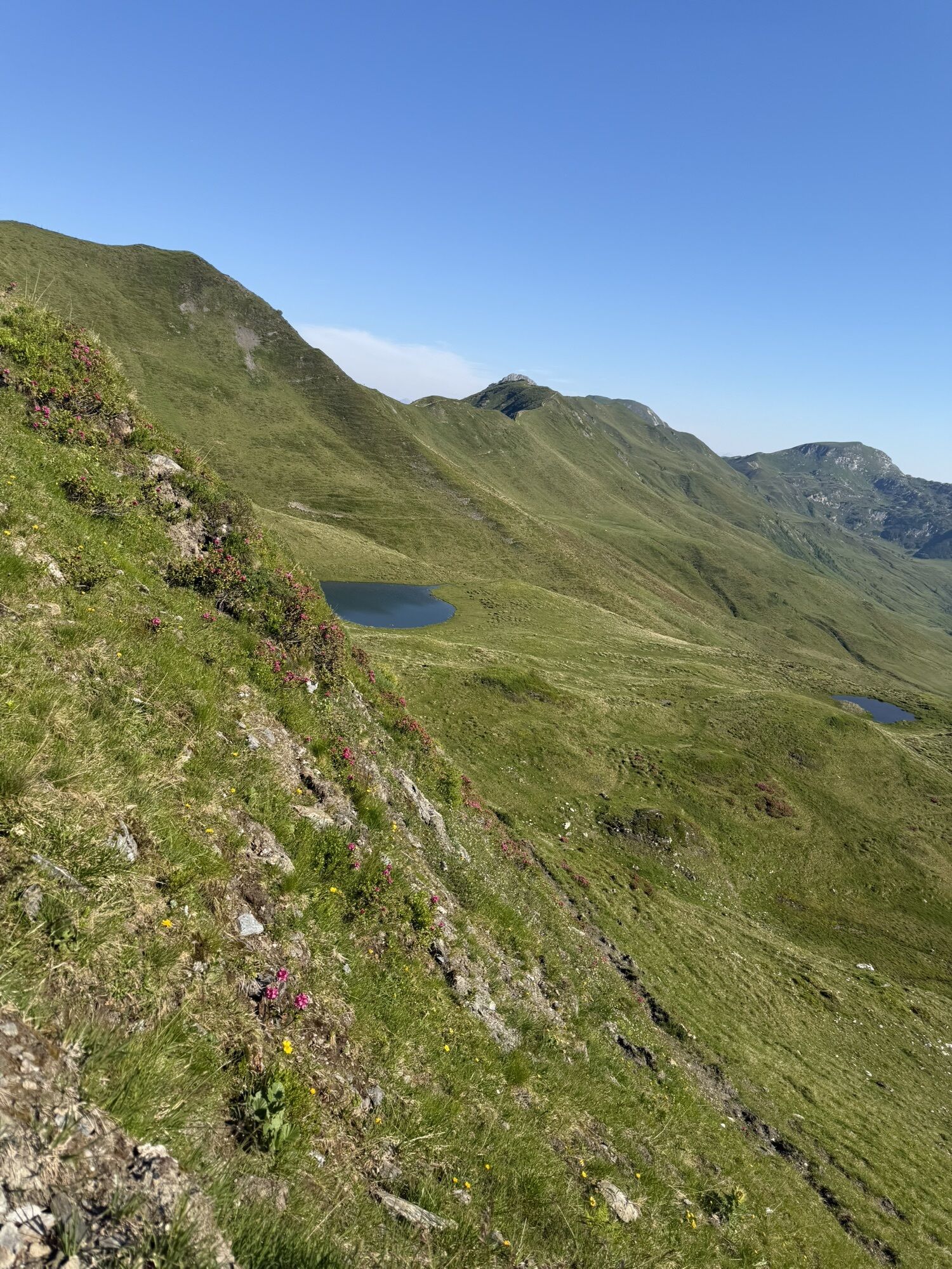
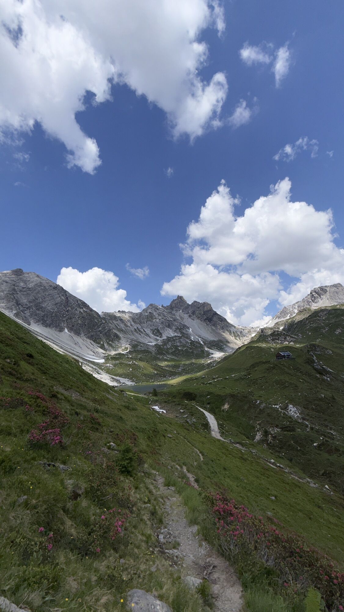
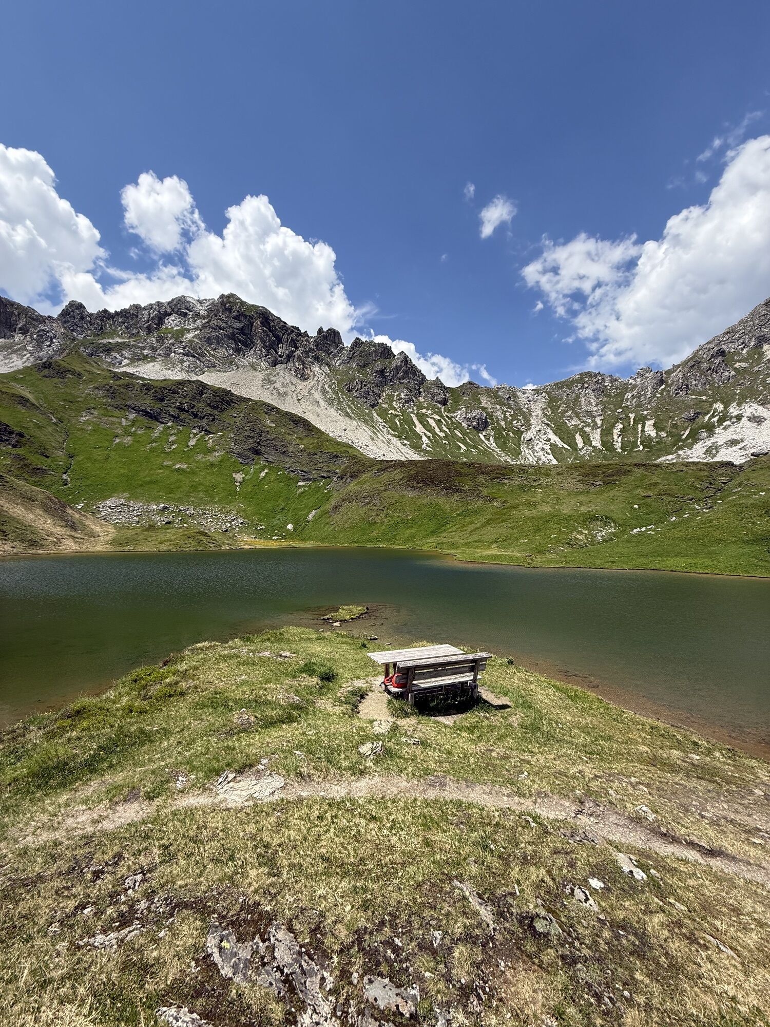
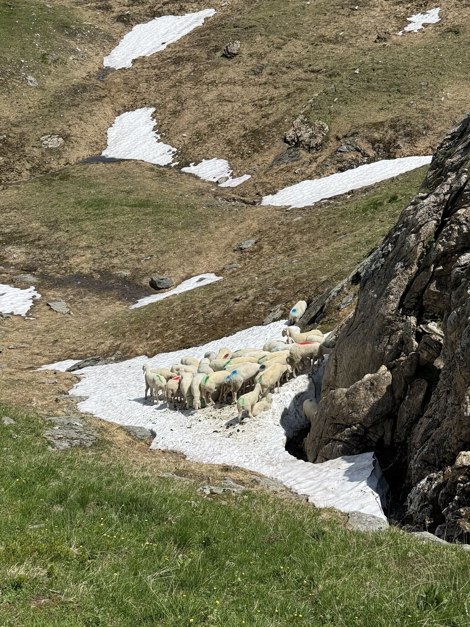
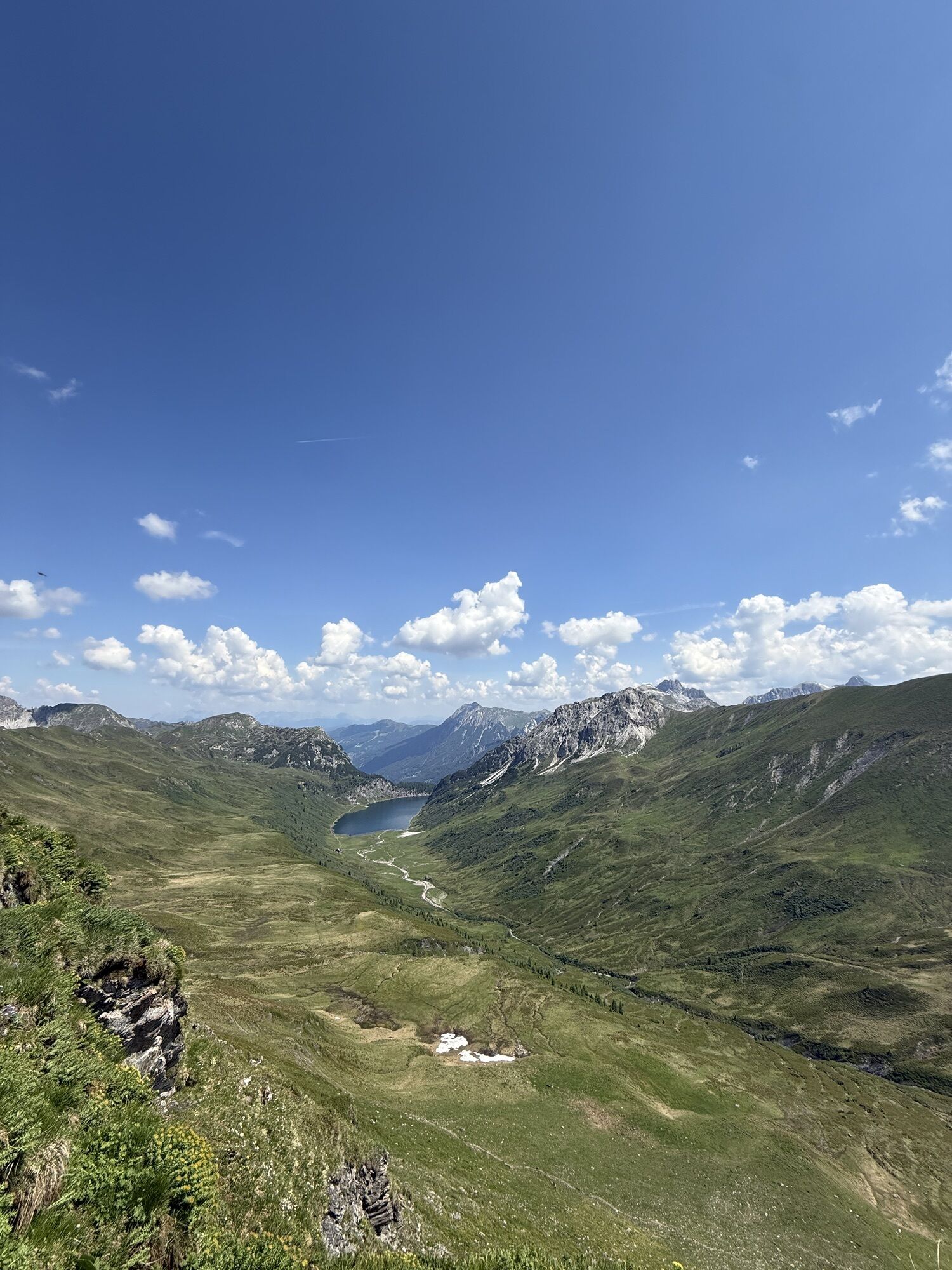
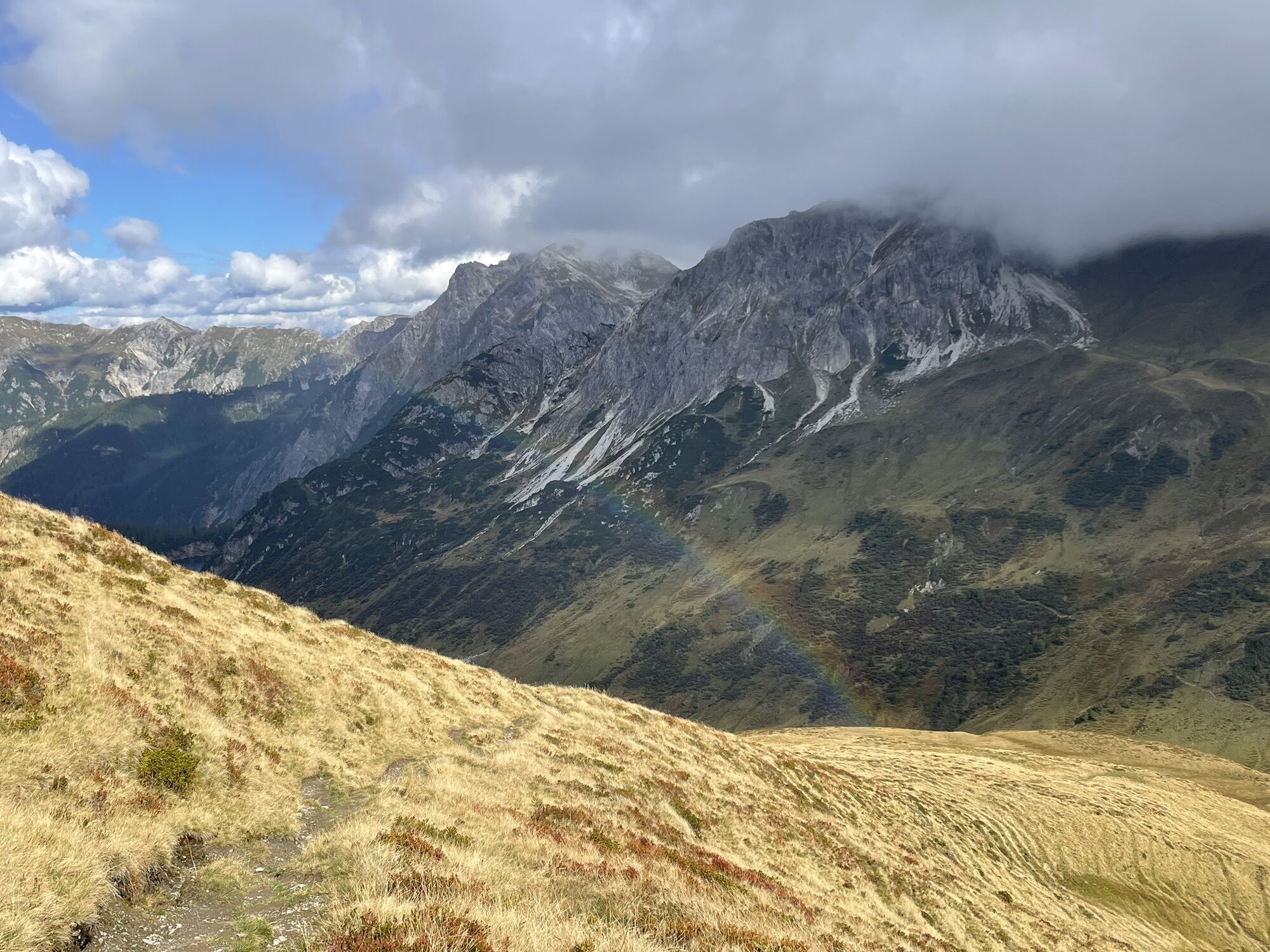
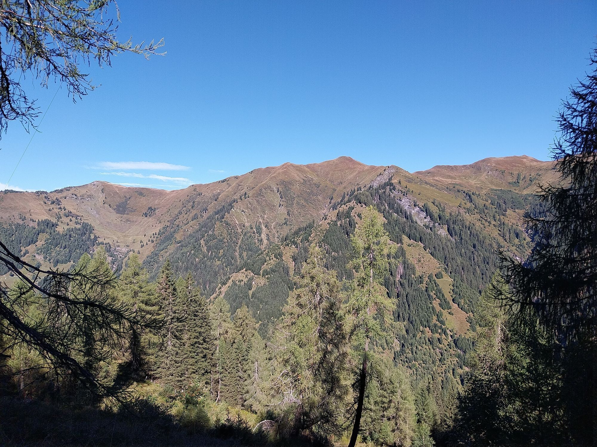
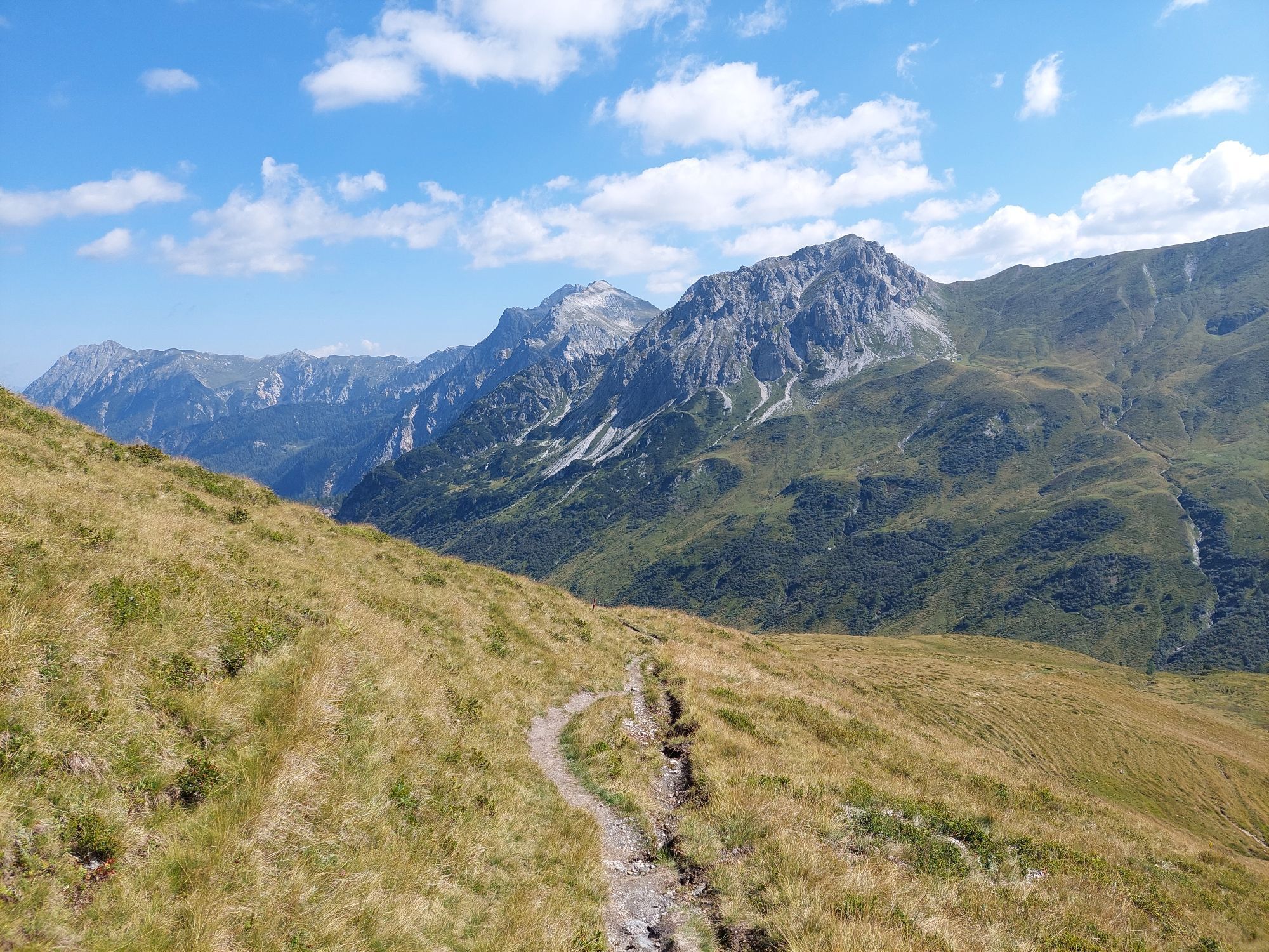
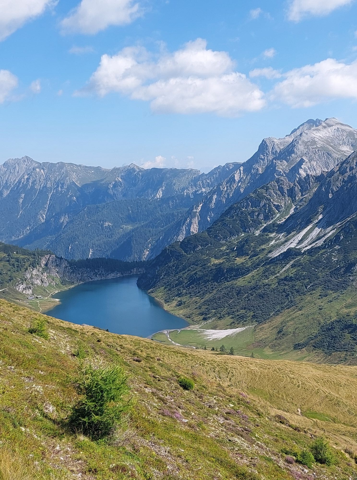
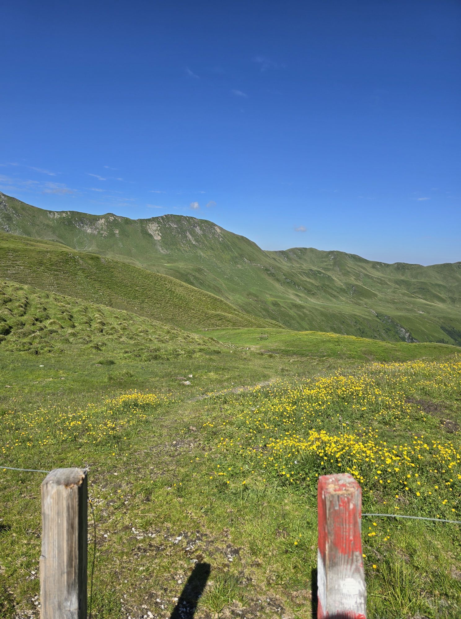
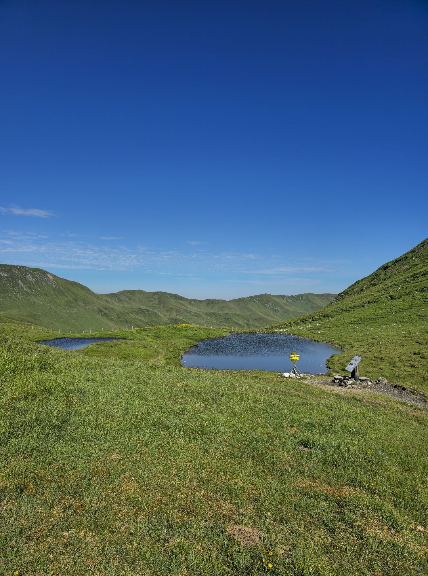
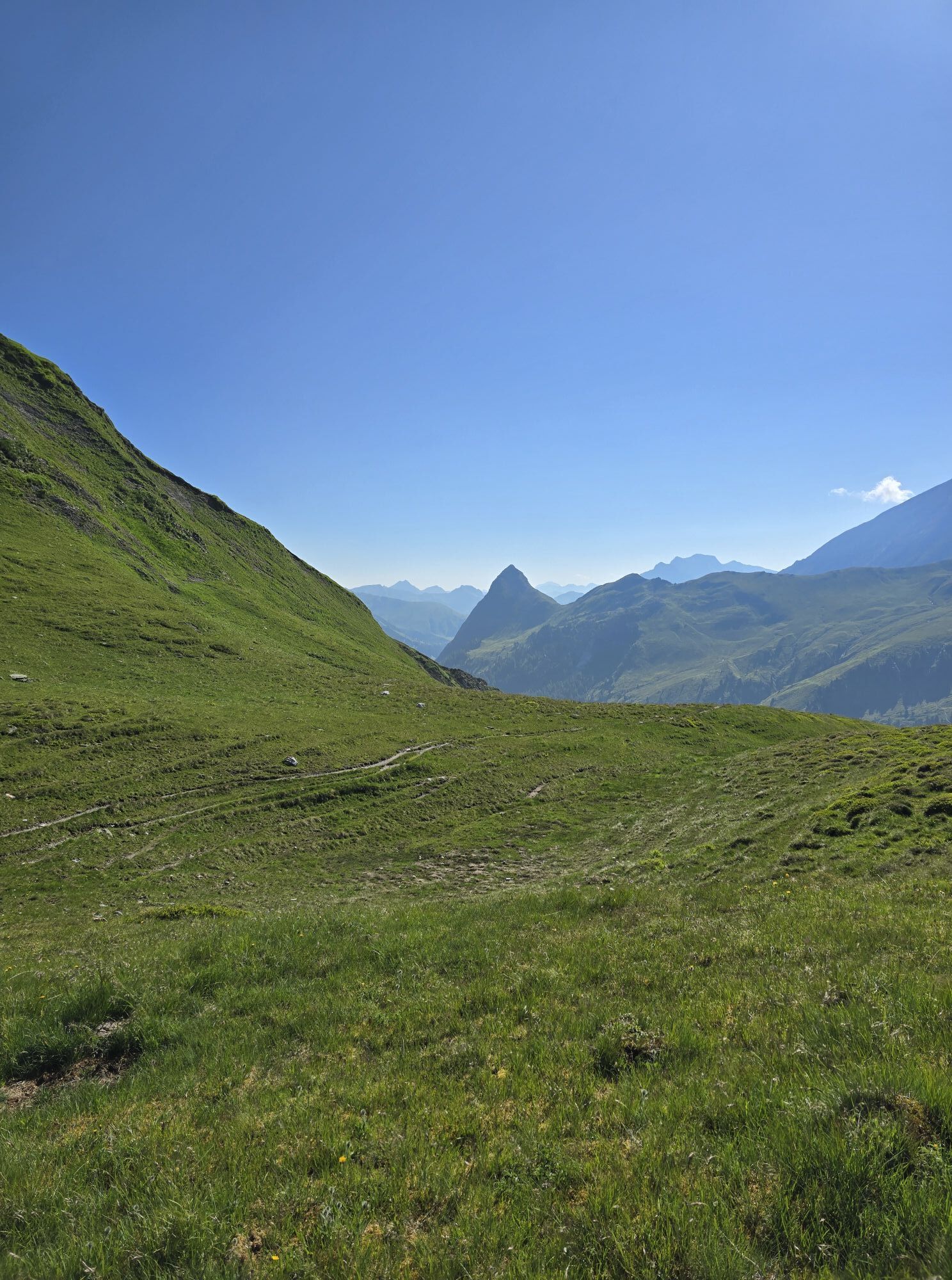
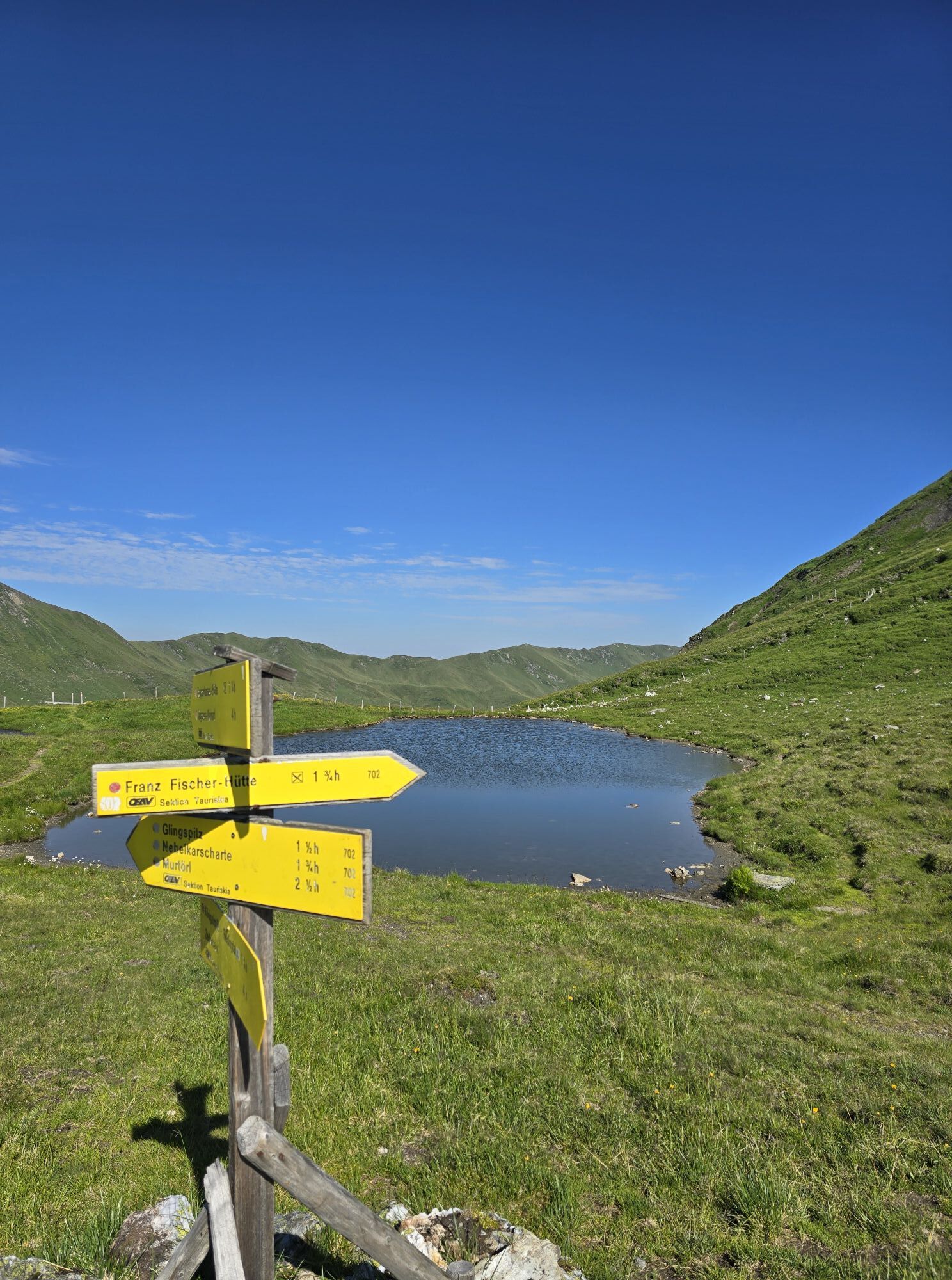
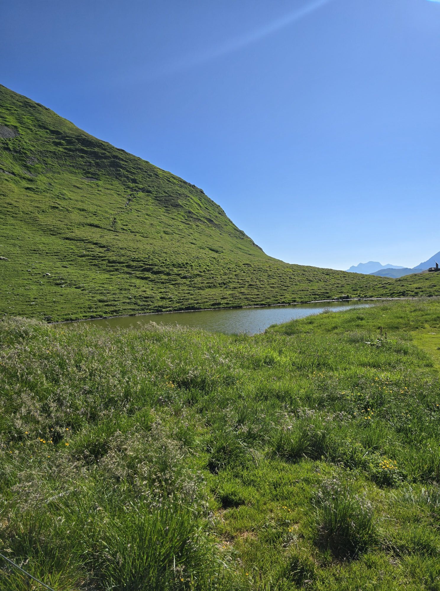
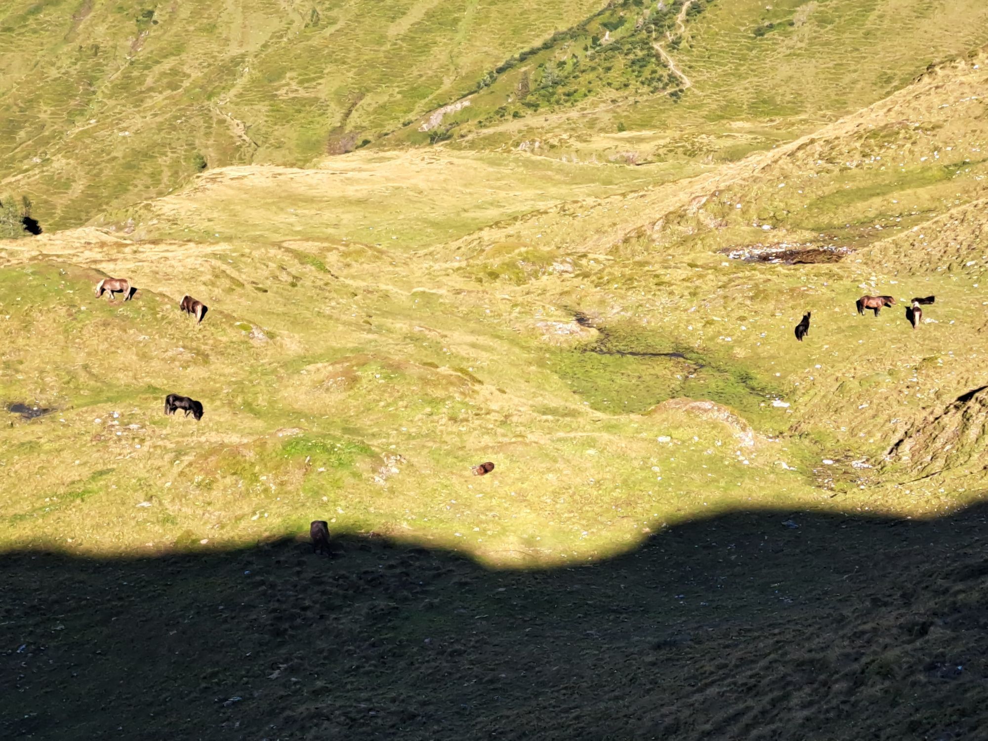
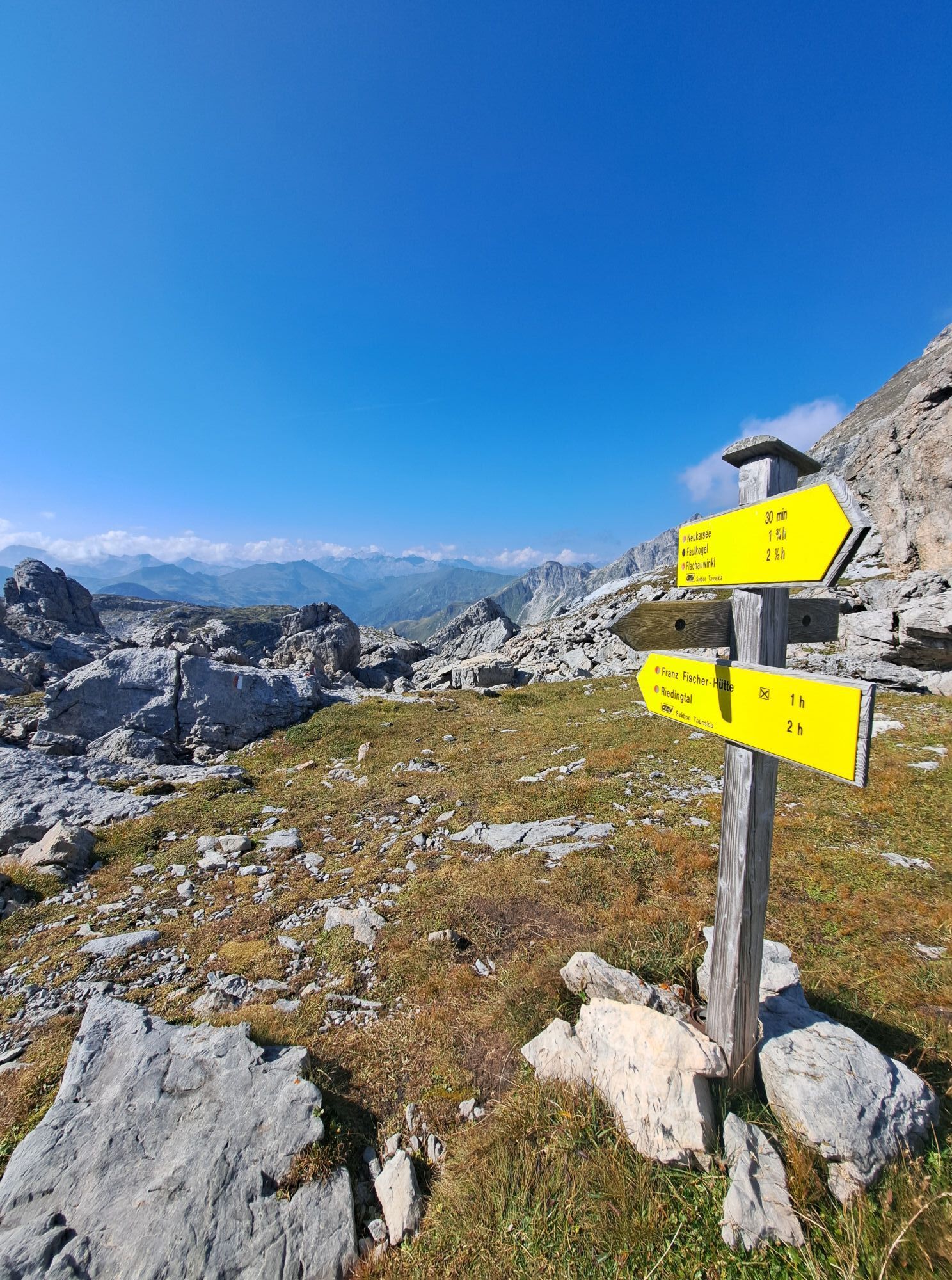
From the mountaineering village of Hüttschlag, you hike up to the Franz Fischer Hütte (2,020 m). The ascent is challenging with an altitude difference of almost 850 meters, but remarkably beautiful: you...
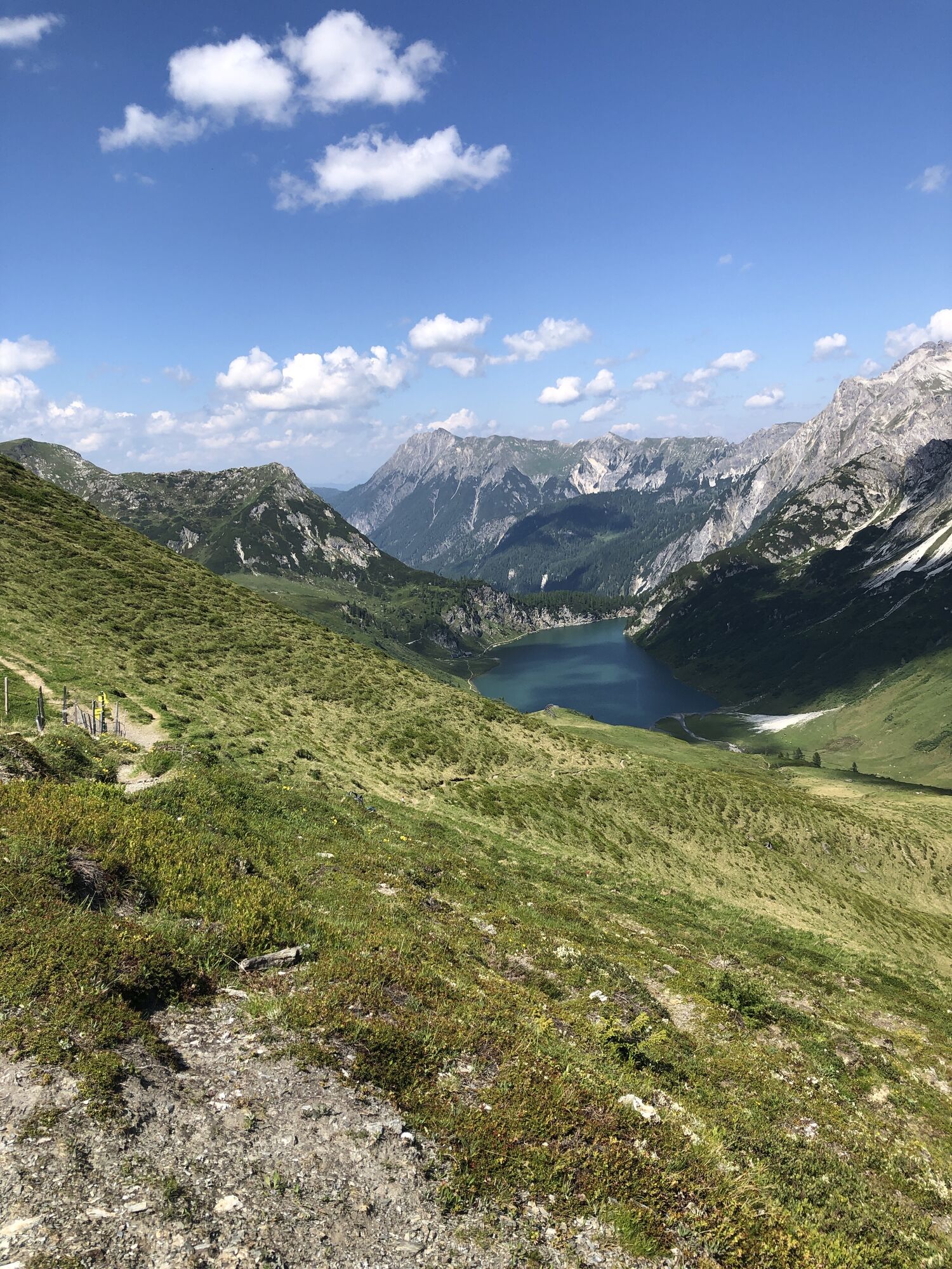
From the mountaineering village of Hüttschlag, you hike up to the Franz Fischer Hütte (2,020 m). The ascent is challenging with an altitude difference of almost 850 meters, but remarkably beautiful: you hike across flower meadows, the Karteistörl and the Haselloch to the idyllic Zaunersee with the Franz Fischer Hütte, an extremely committed and innovatively managed Alpine Club hut. Today you hike from the Hallmoosalm in Hüttschlag to the Karteistörl on the original stage 11 of the Salzburger Almenweg. From the Karteistörl you make a scenic detour from the Salzburger Almenweg into the Salzburger Lungau to the Franz Fischer Hütte. The next day, you return from the hut on stage 12a to the Salzburger Almenweg and the Tappenkarsee - probably one of the most beautiful places on the route of the Salzburger Almenweg.


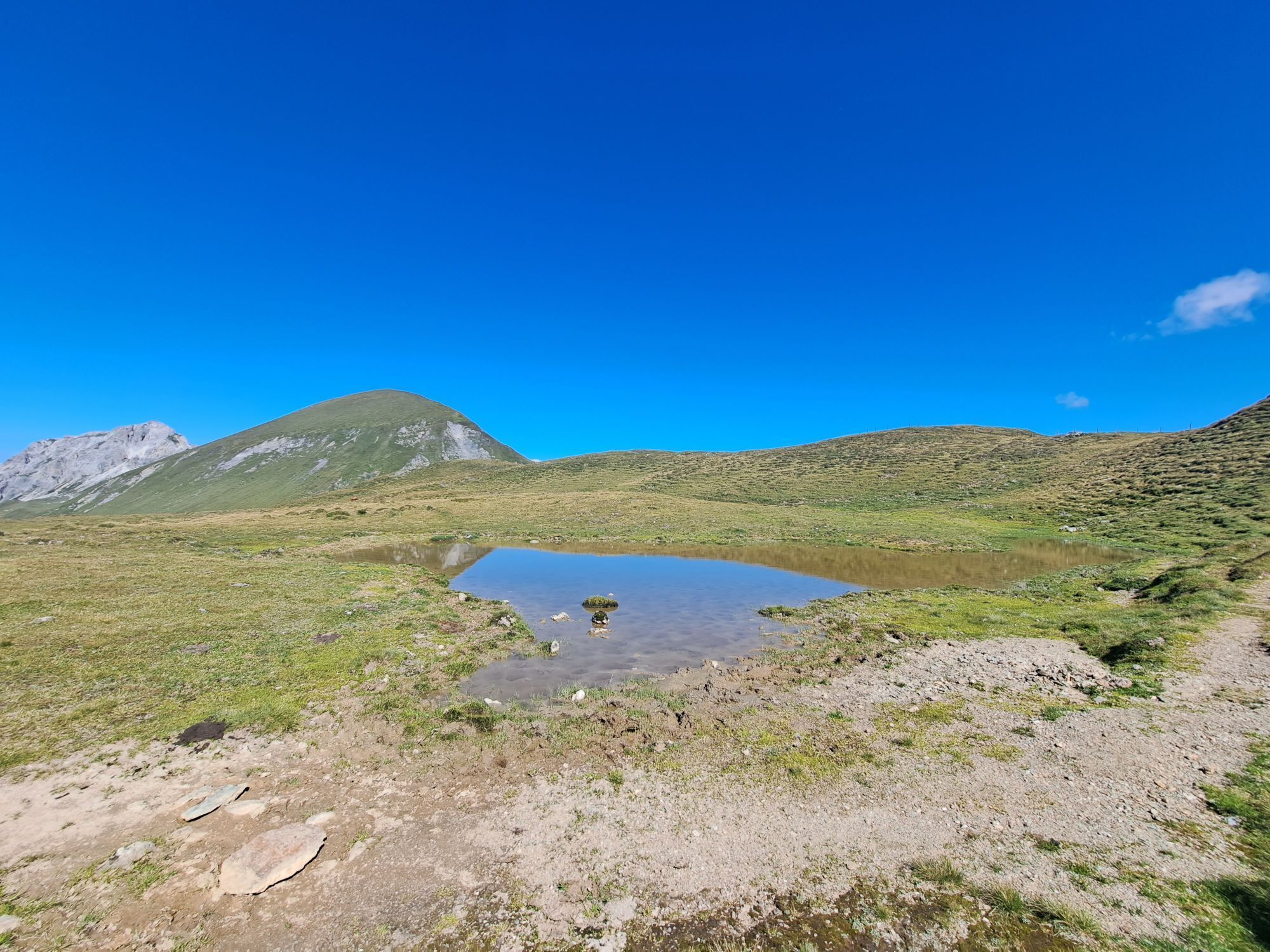
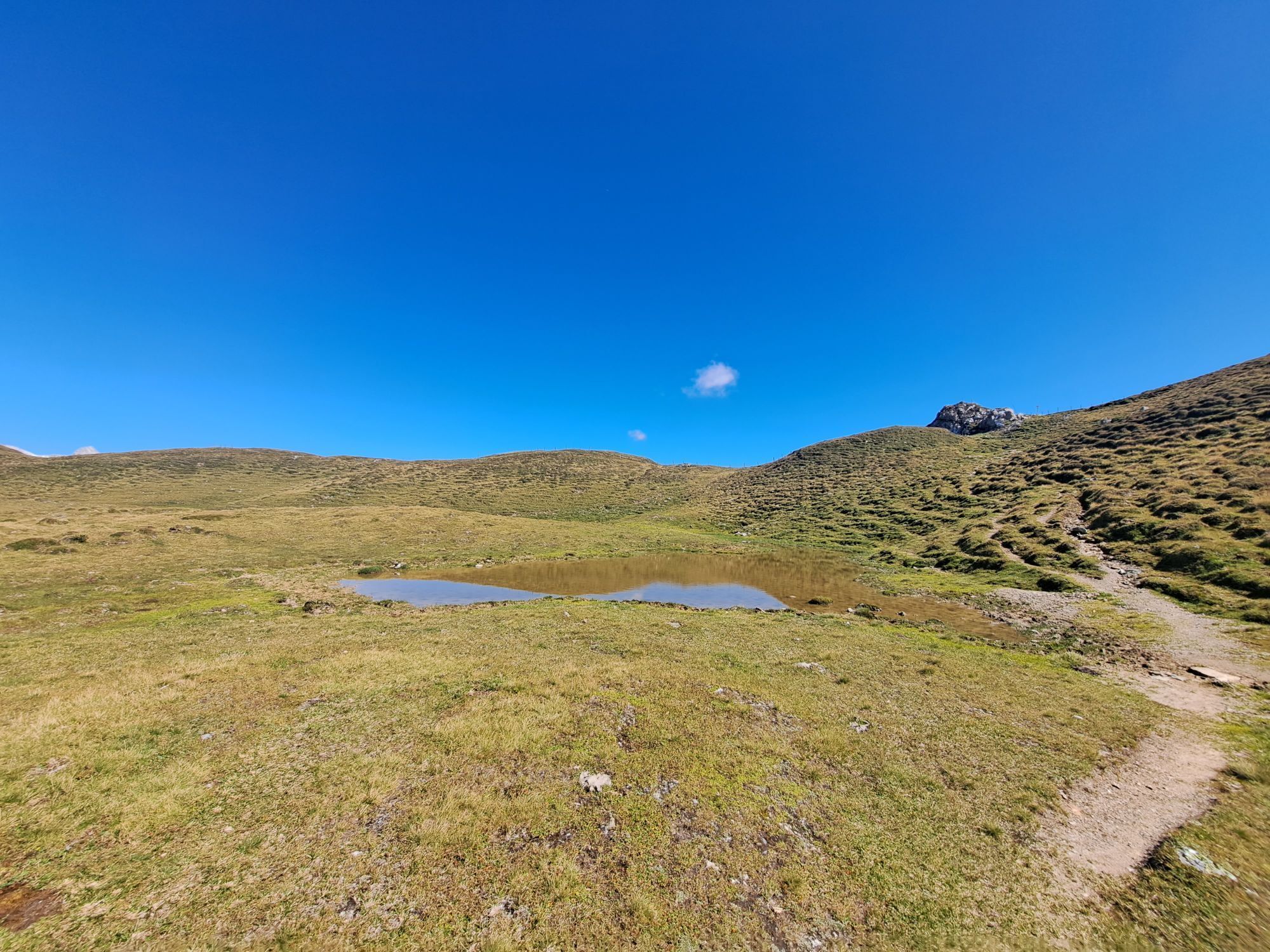
As the stage to the Franz Fischer Hütte is quite long, we recommend taking a cab to the Hallmoosalm parking lot, where today's stage starts (saving a good 2 hours compared to starting in Hüttschlag). At the first parking lot past the Hallmoosalm, at the second parking lot - at the fork with the two barriers - follow trail no. 53 to the right and the signs to the Karteisalm. After approx. 10 minutes' walk, a farm track (no. 53) branches off to the left from the forest path to the Karteisalm, which becomes narrower and narrower and finally leads into an alpine path. From the alpine pasture, the trail leads through a wide cirque to the Karteistörl (2,179 m), from where a 15-minute detour to the Kreuzeck (2,204 m) is possible and extremely worthwhile. At Karteistörl, the paths of the original route of the Salzburger Almenweg and the variant to Franz Fischer Hütte described here diverge: unlike the original route of the Salzburger Almenweg, you do not follow hiking trail no. 721 down to the Tappenkarseehütte, but instead follow the path on the right at a constant altitude below Kreuzeck and Riffel to the less pronounced summit of the Wurmkogel and then briefly down to the Haselloch, where there is a small mountain lake (incidentally, the Haselloch forms the border between Pongau and Lungau). Several paths cross here: the path to the Franz Fischer Hütte leads straight ahead, initially steeper up through the eastern flank of the Schiereck and then milder again through an extensive alpine pasture.
Získajte prehľad
Vždy naživo na mieste s viac ako 9 500 webovými kamerami. bergfex Ako používateľ Pro si teraz môžete pozrieť príslušné webové kamery pre mnohé zájazdy v aplikácii zájazdy z. Môžete si tak priamo prezerať aktuálne podmienky.
Aktivity počas prehliadky


Obľúbené výlety v okolí
-
5,0
Hüttschlag: Karteistörl - Tappenkarsee - Draugsteintörl - Draugsteinalmen
strednáTuristika 13,5 km -
5,0
Großarl: Alpine pasture circuit in Ellmautal
strednáTuristika 9,69 km -
4,1
Tappenkarsee Kleinarl
strednáTuristika 9,11 km -
4,7
Großarl: Mooslehenalm – Niggeltalalm – Viehhausalm
strednáTuristika 5,44 km -
4,5
Gasteiner Höhenweg von Bad Gastein nach Bad Hofgastein
svetloTuristika 8,58 km -
4,9
Großarl: Bichlalm
strednáMountainbike 18,9 km -
4,5
Mountain route from the Kötschachtal to the natural jewel Reedsee
strednáTuristika 12,5 km -
4,4
"Elendrunde" Kleinelend Valley - Zwischenelendscharte - Großelend Valley
strednáTuristika 21,9 km -
4,7
Kölnbreinspeicher bis Osnabrücker Hütte
svetloTuristika 15,9 km -
4,6
Großarl: Saukaralm - Saukarkopf - Gerstreitalm
strednáTuristika 9,39 km
Turistika a stopovanie


Nenechajte si ujsť ponuky a inšpiráciu na ďalšiu dovolenku
Vaša e-mailová adresa bol pridaný do poštového zoznamu.





