



3-day hut route - day 1


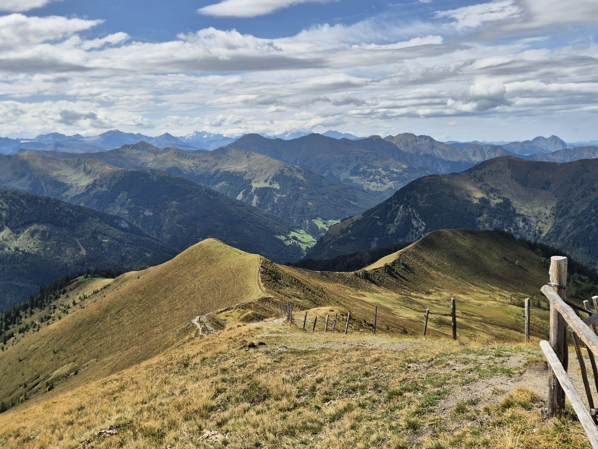
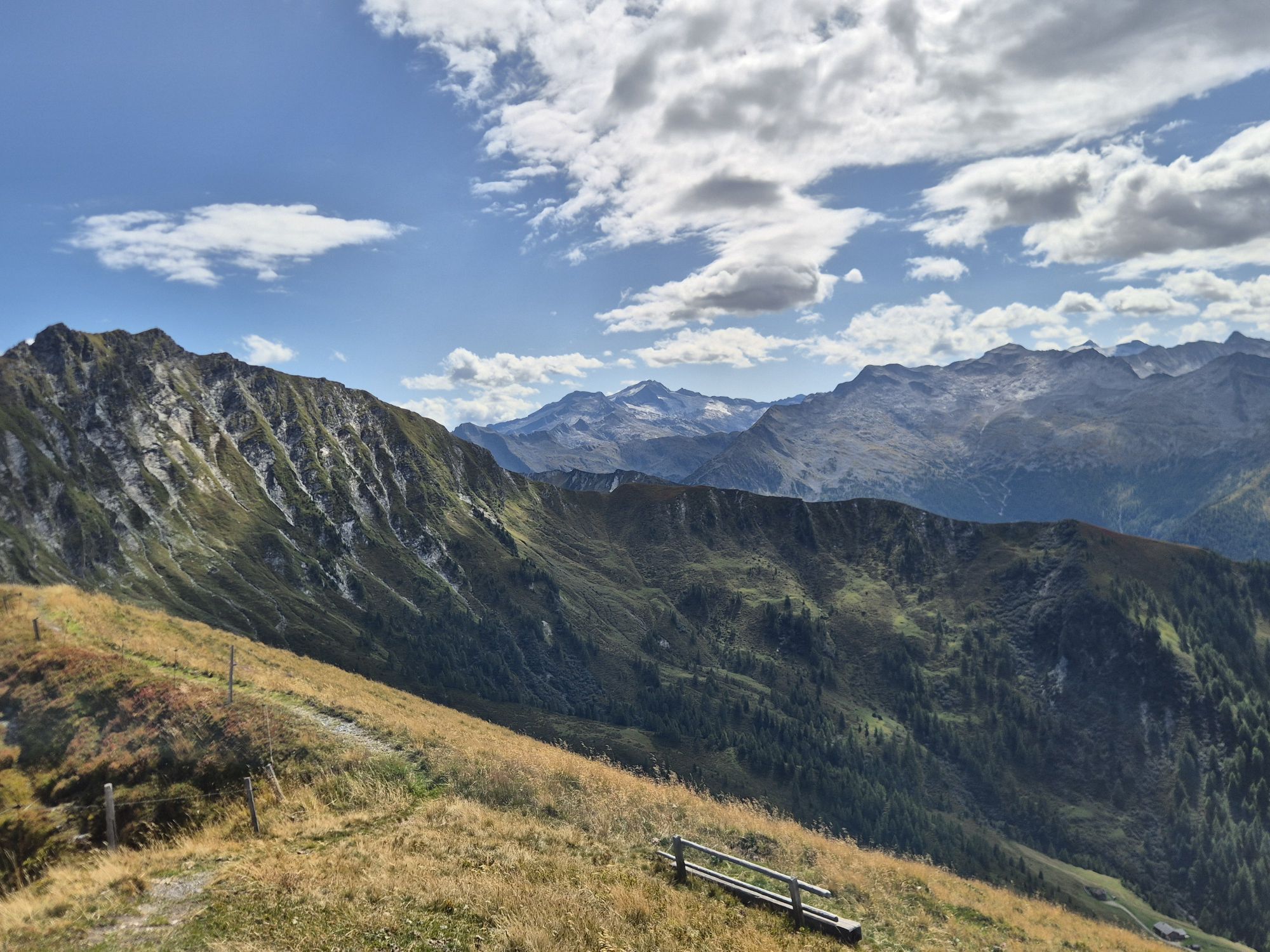
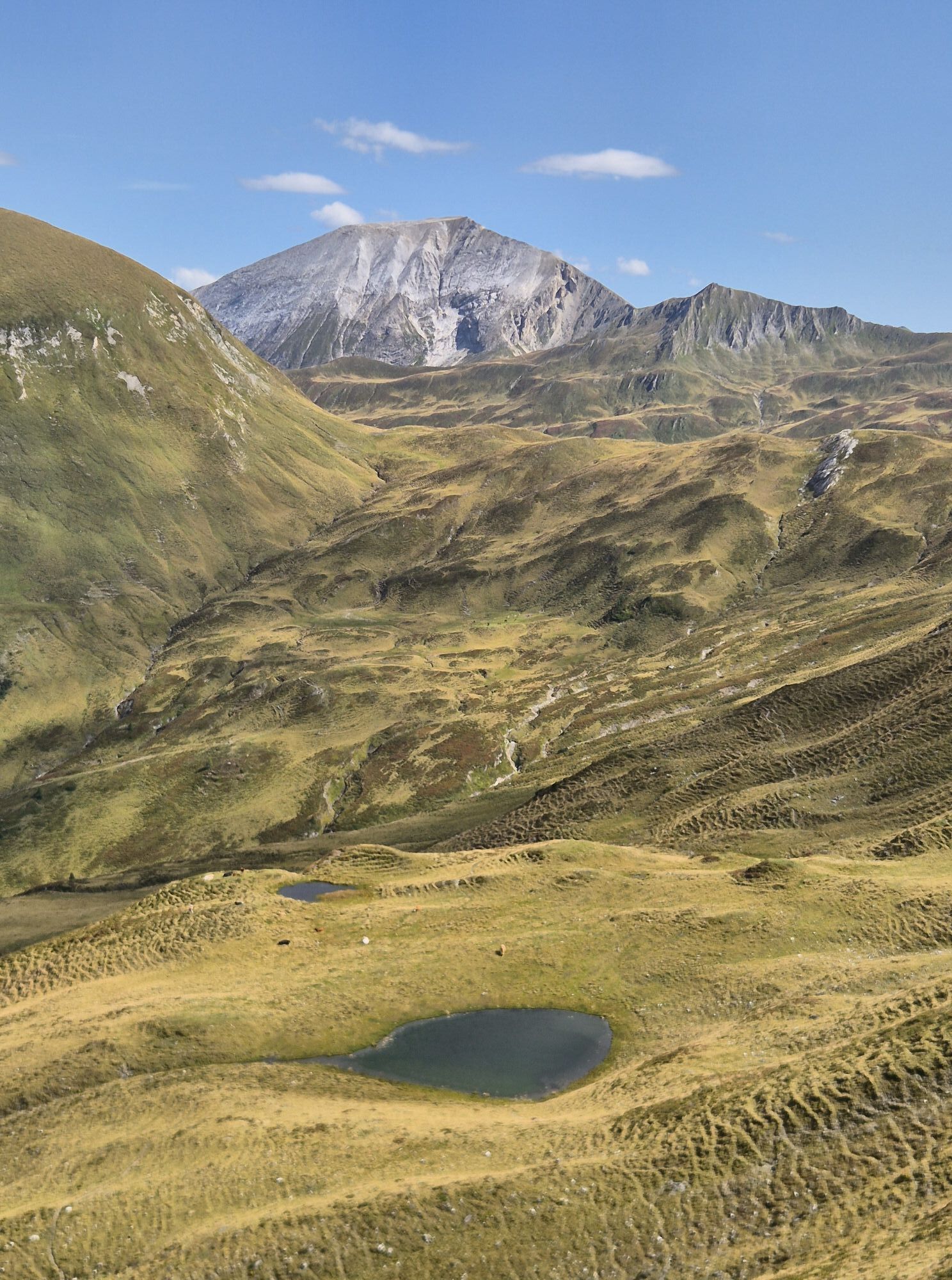
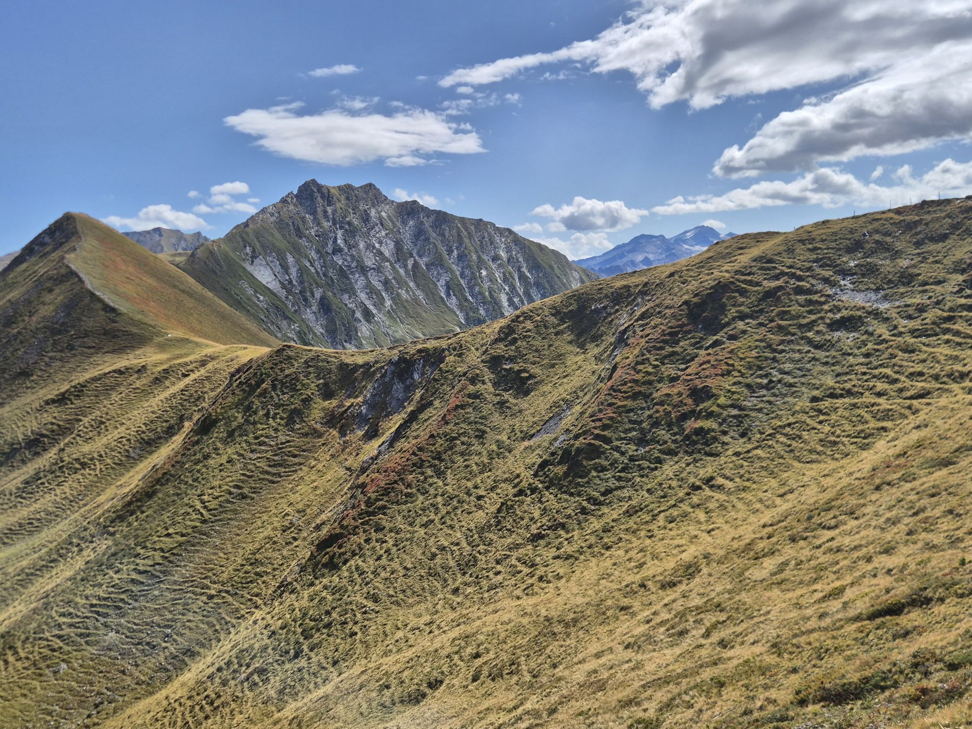
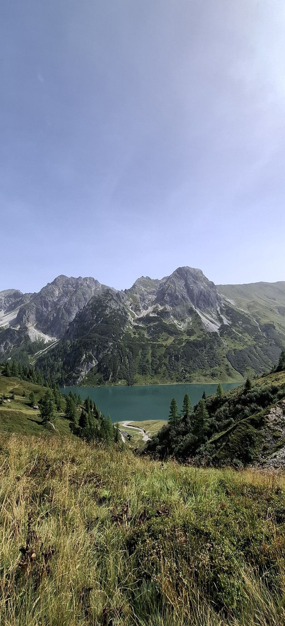
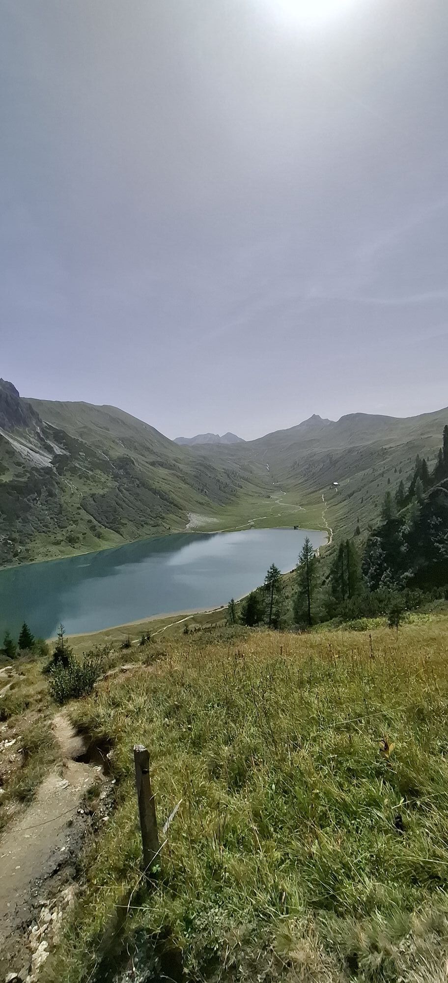
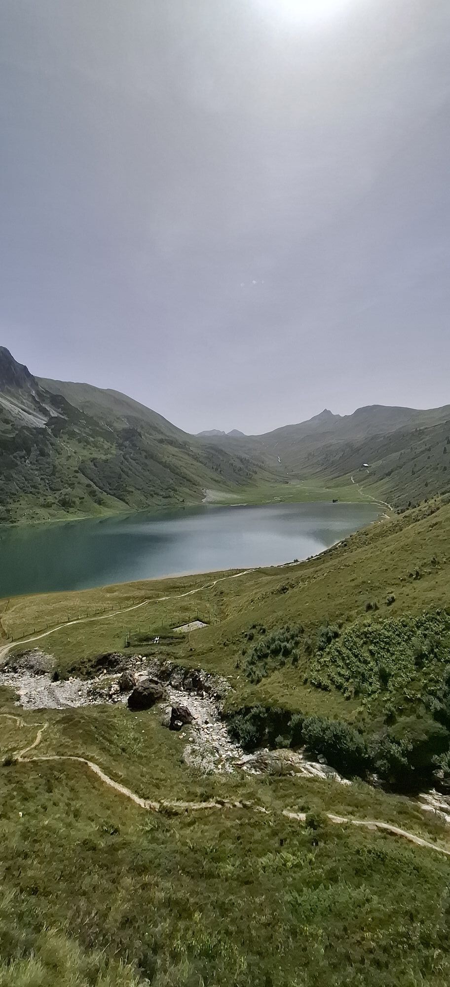
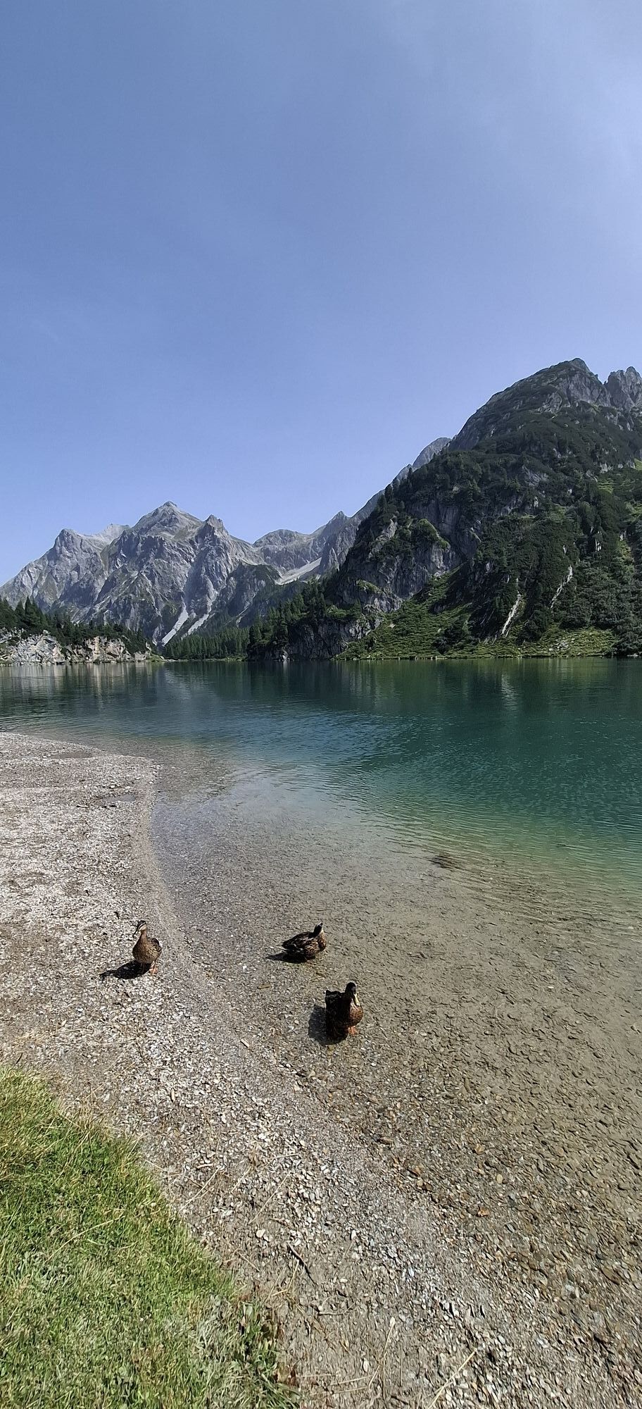
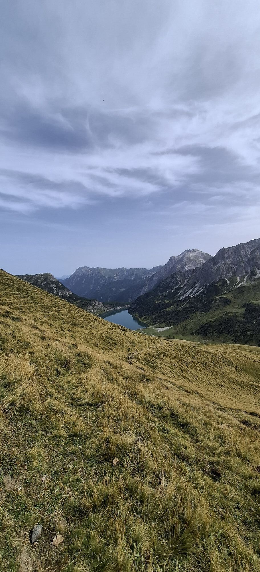
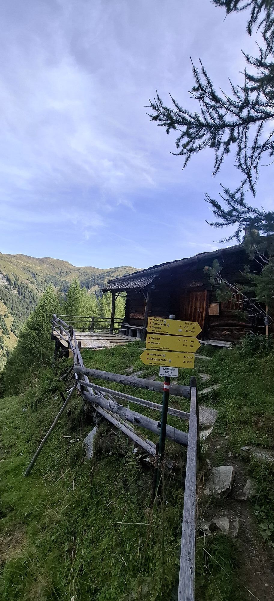
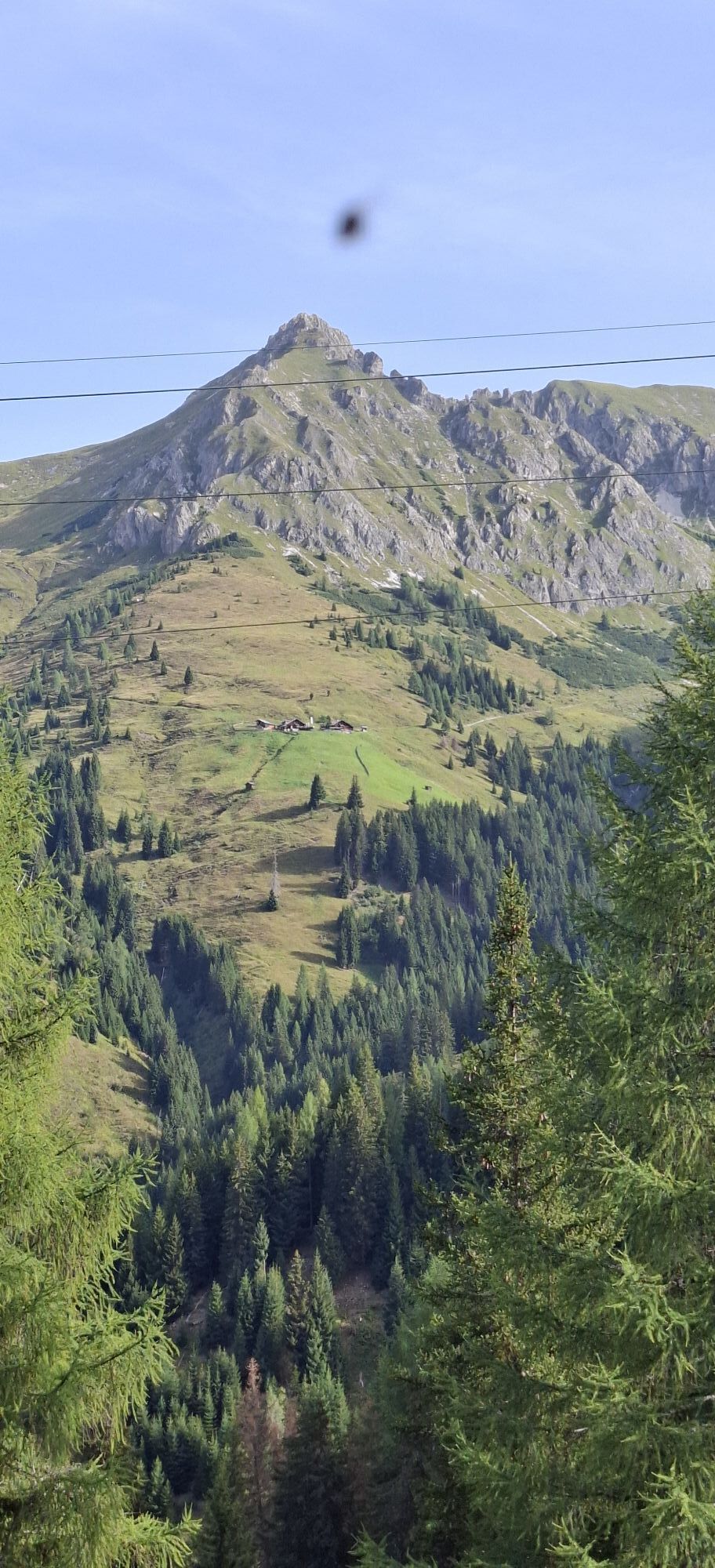
On the first day of the 3-day hut route, you start at the Hallmoosalm parking lot in Hüttschlag, hike a piece through the forest and pass the Karteisalm (not managed). Then continue over alpine meadows...
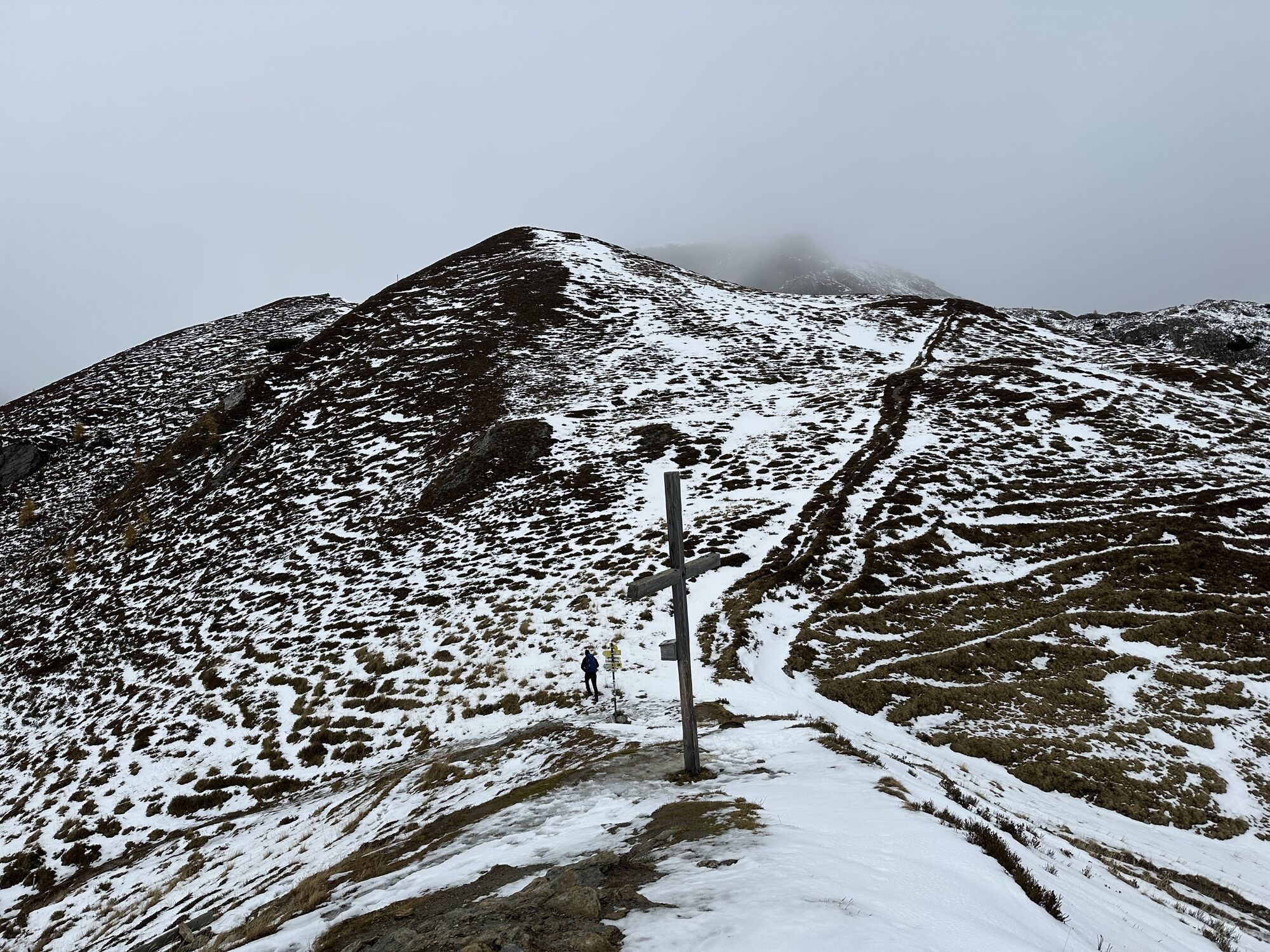
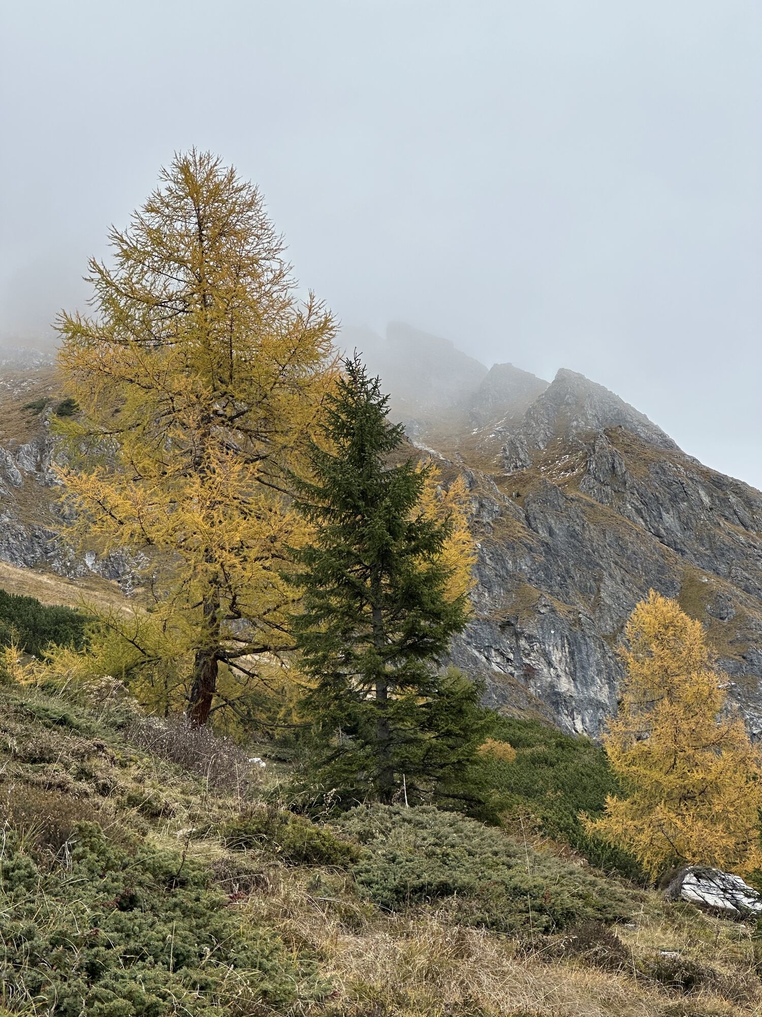
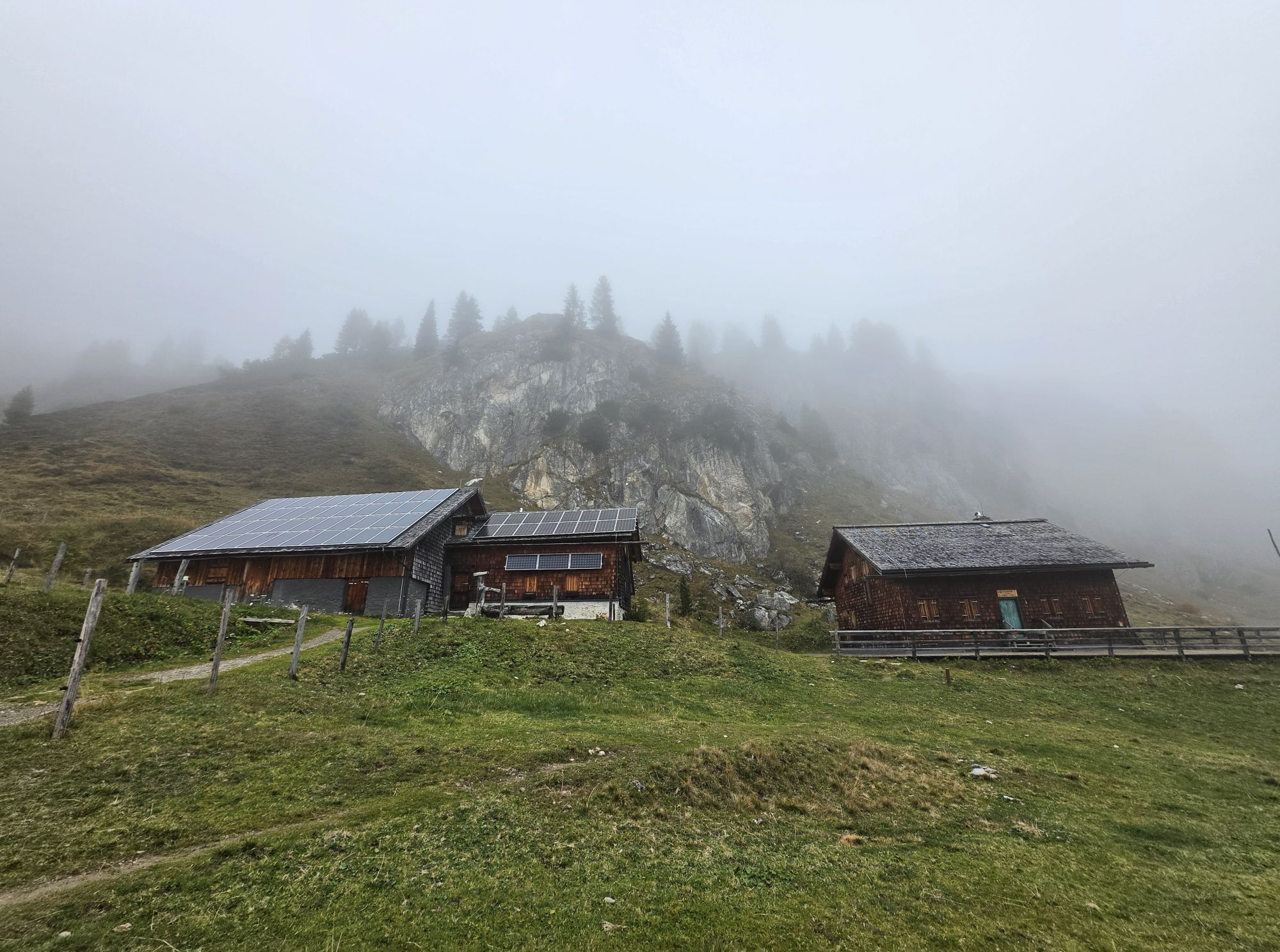
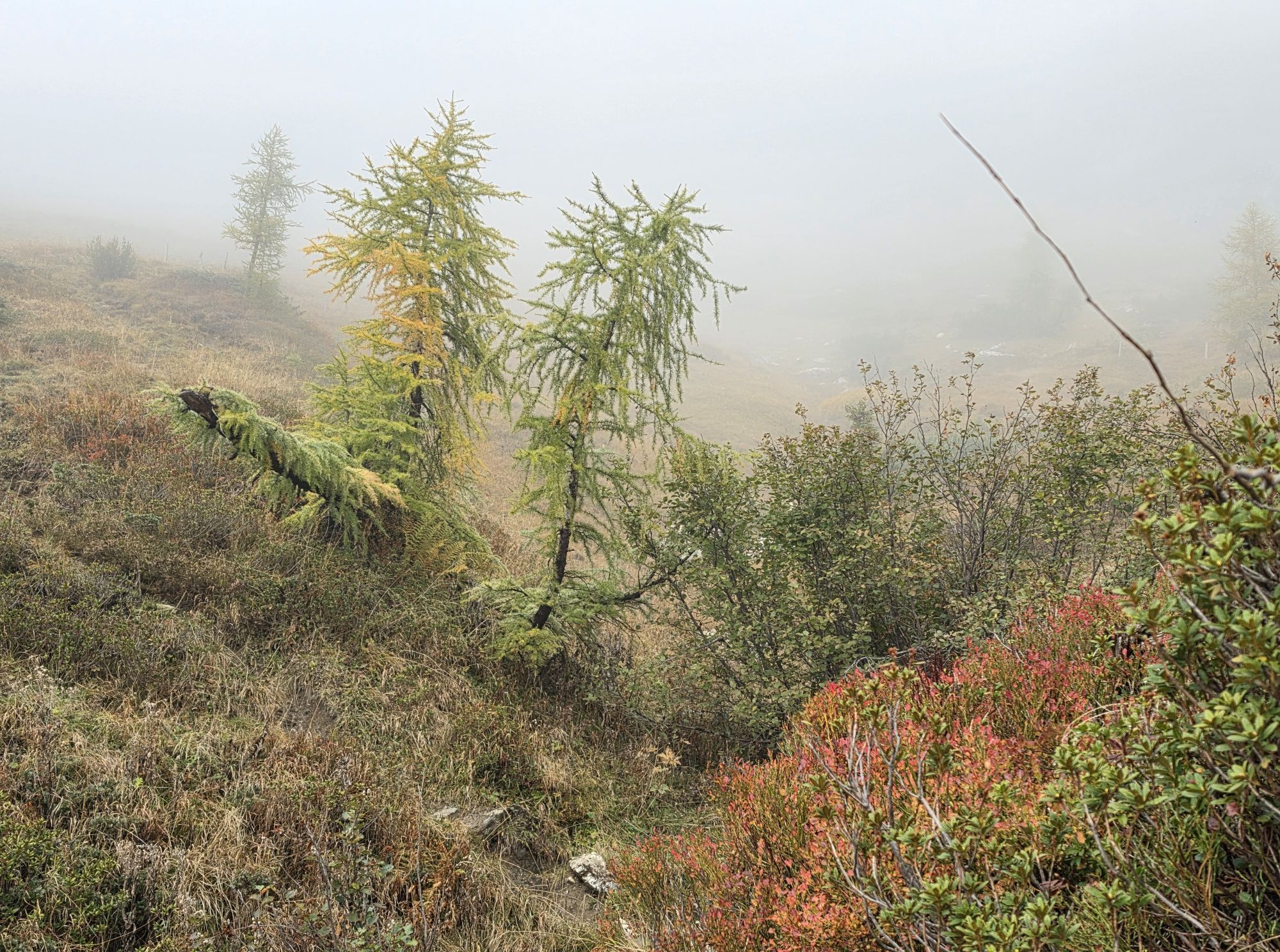
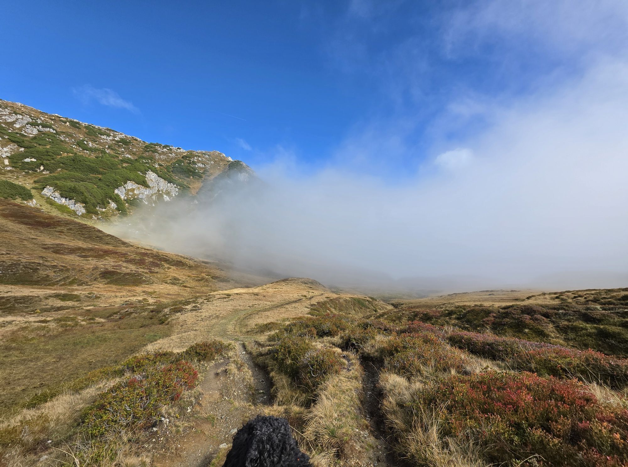
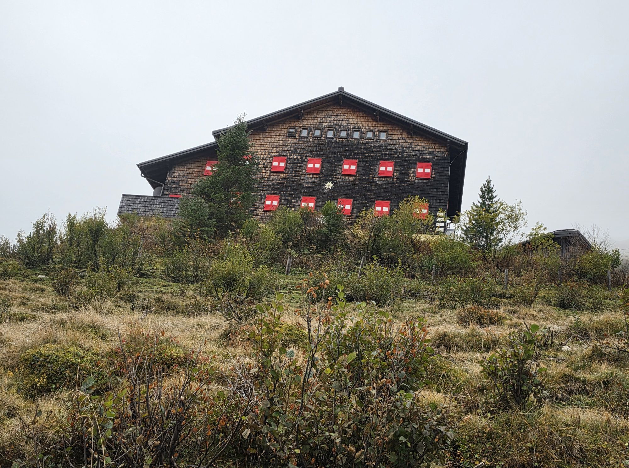
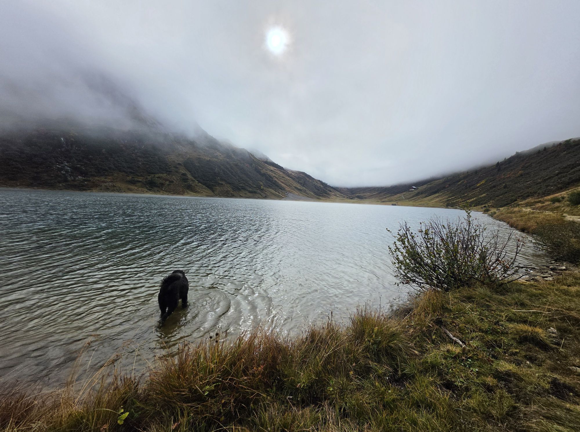
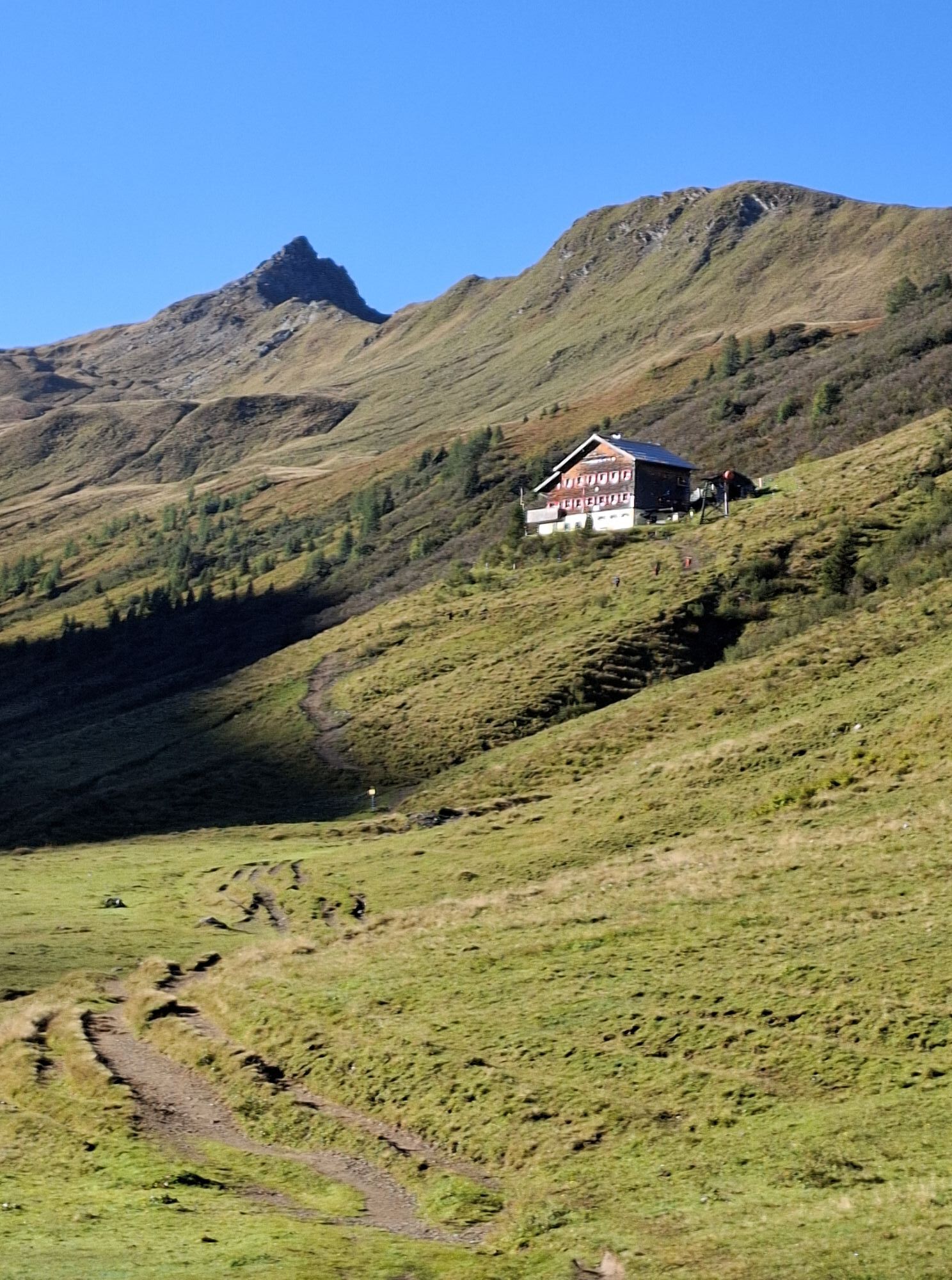
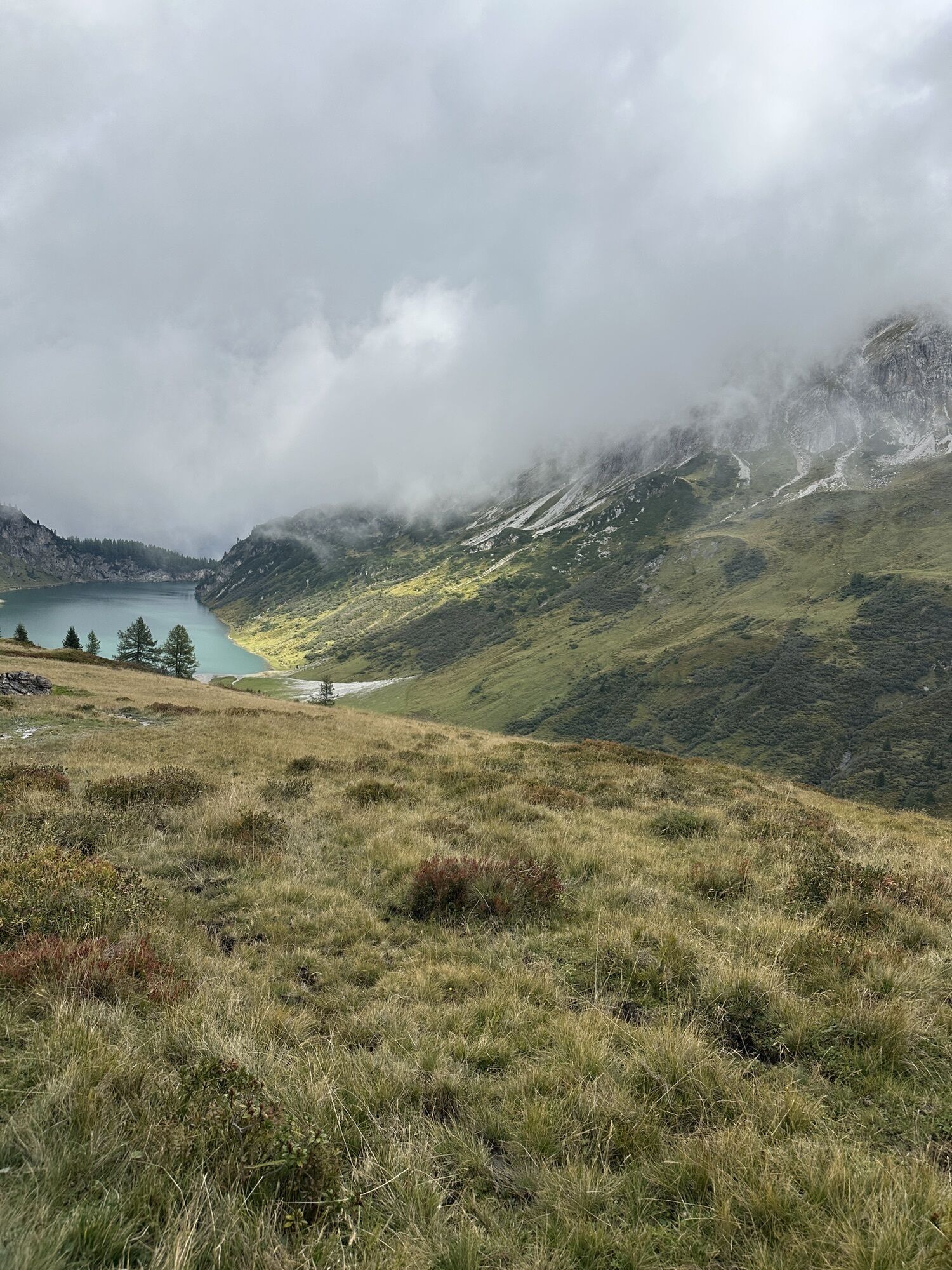
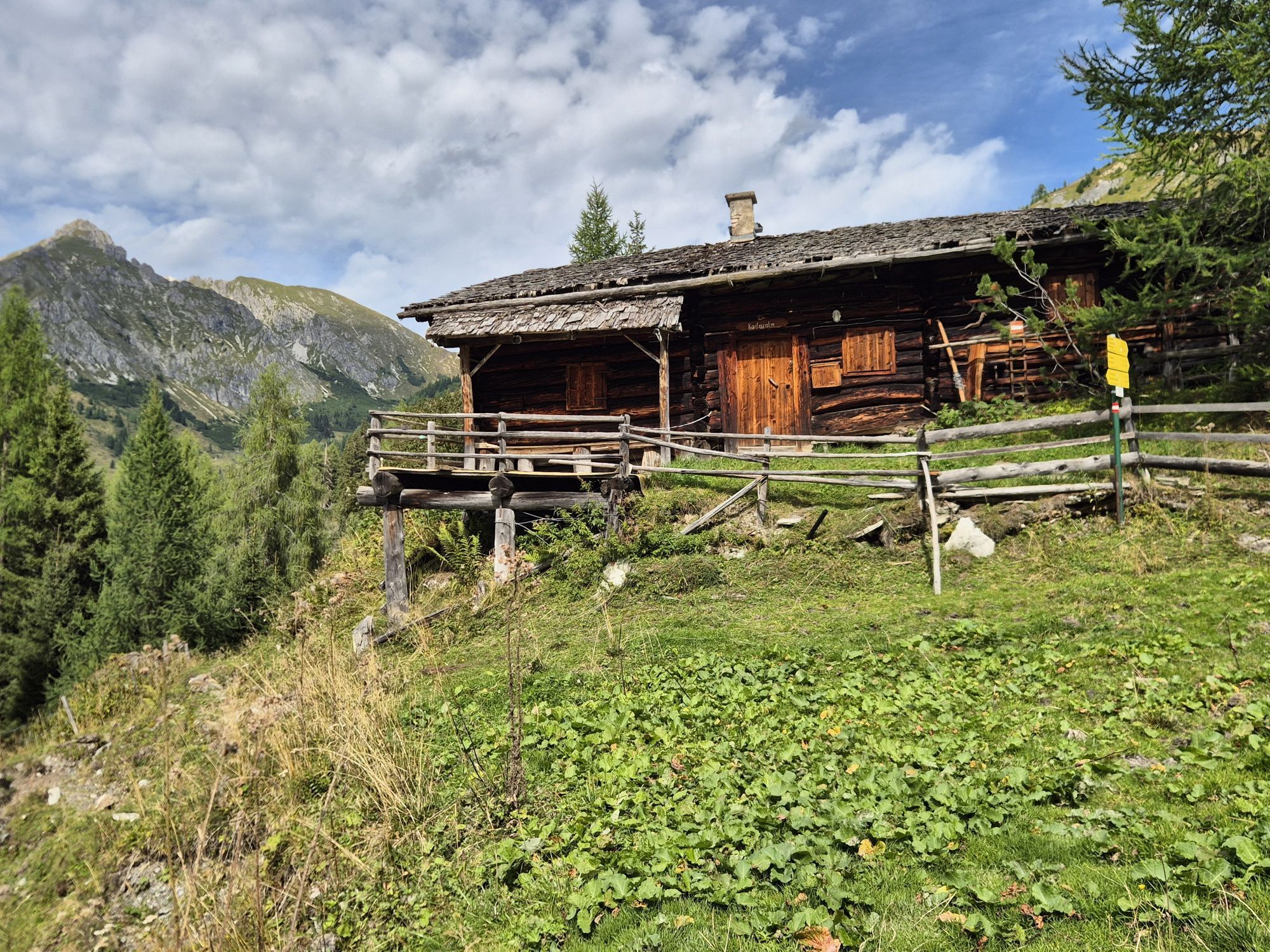
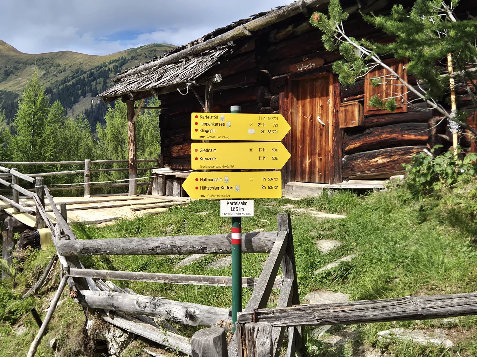
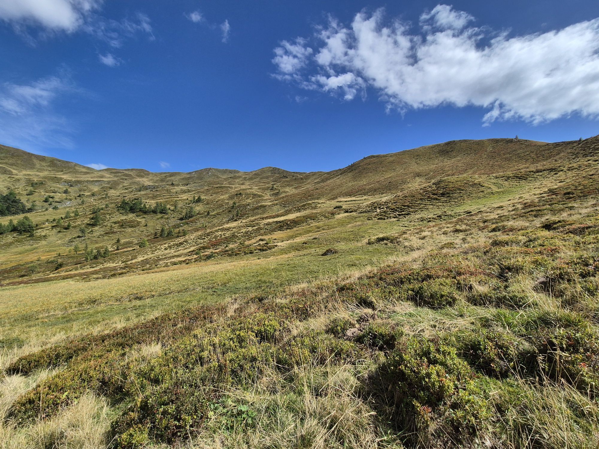
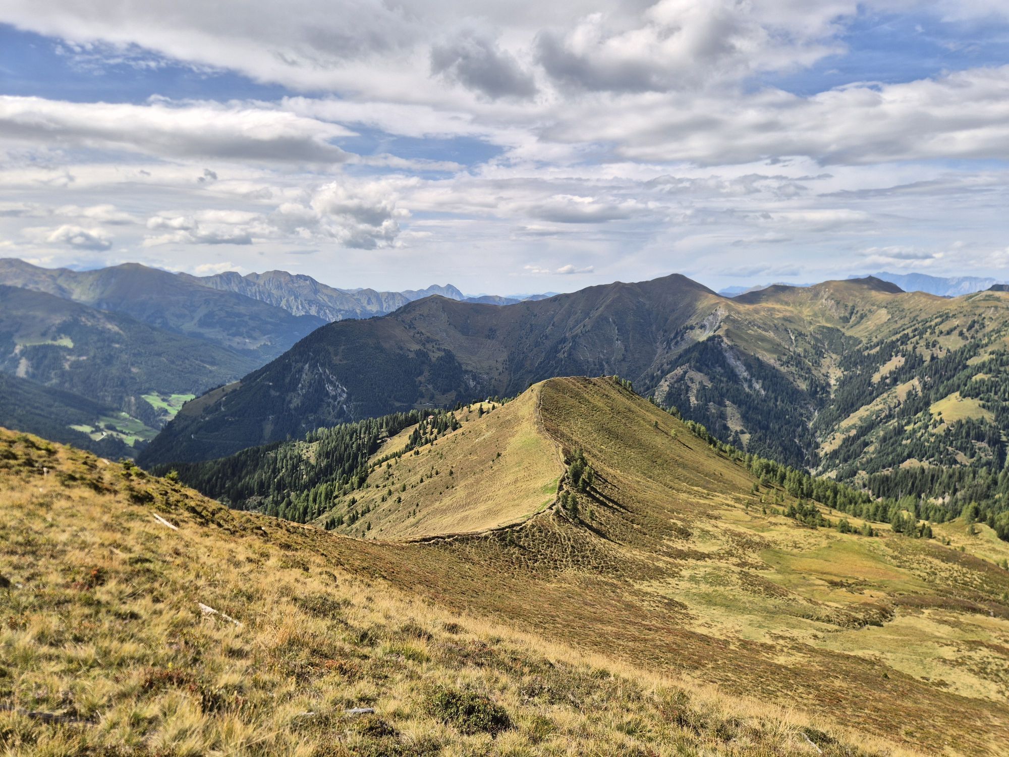
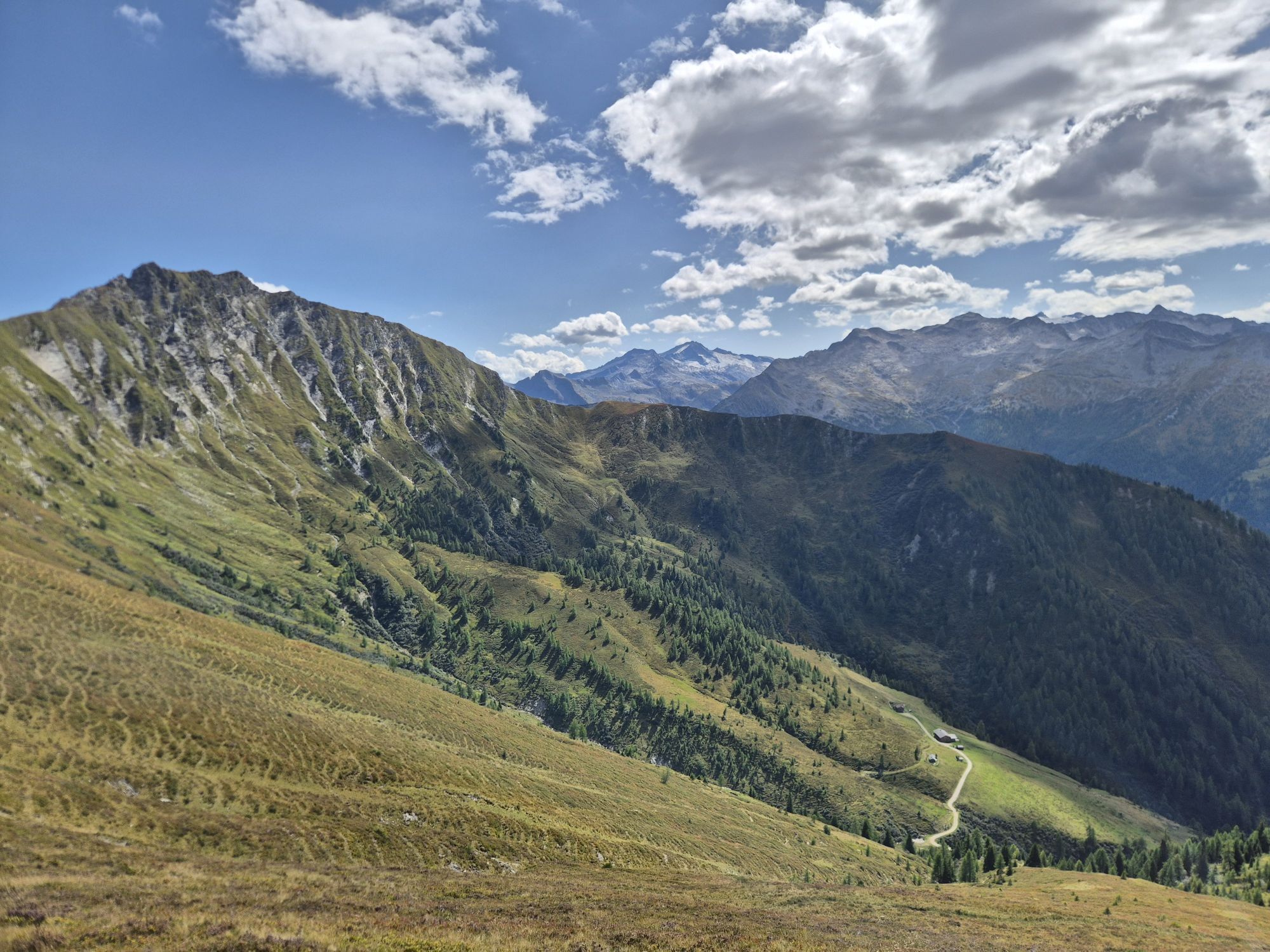
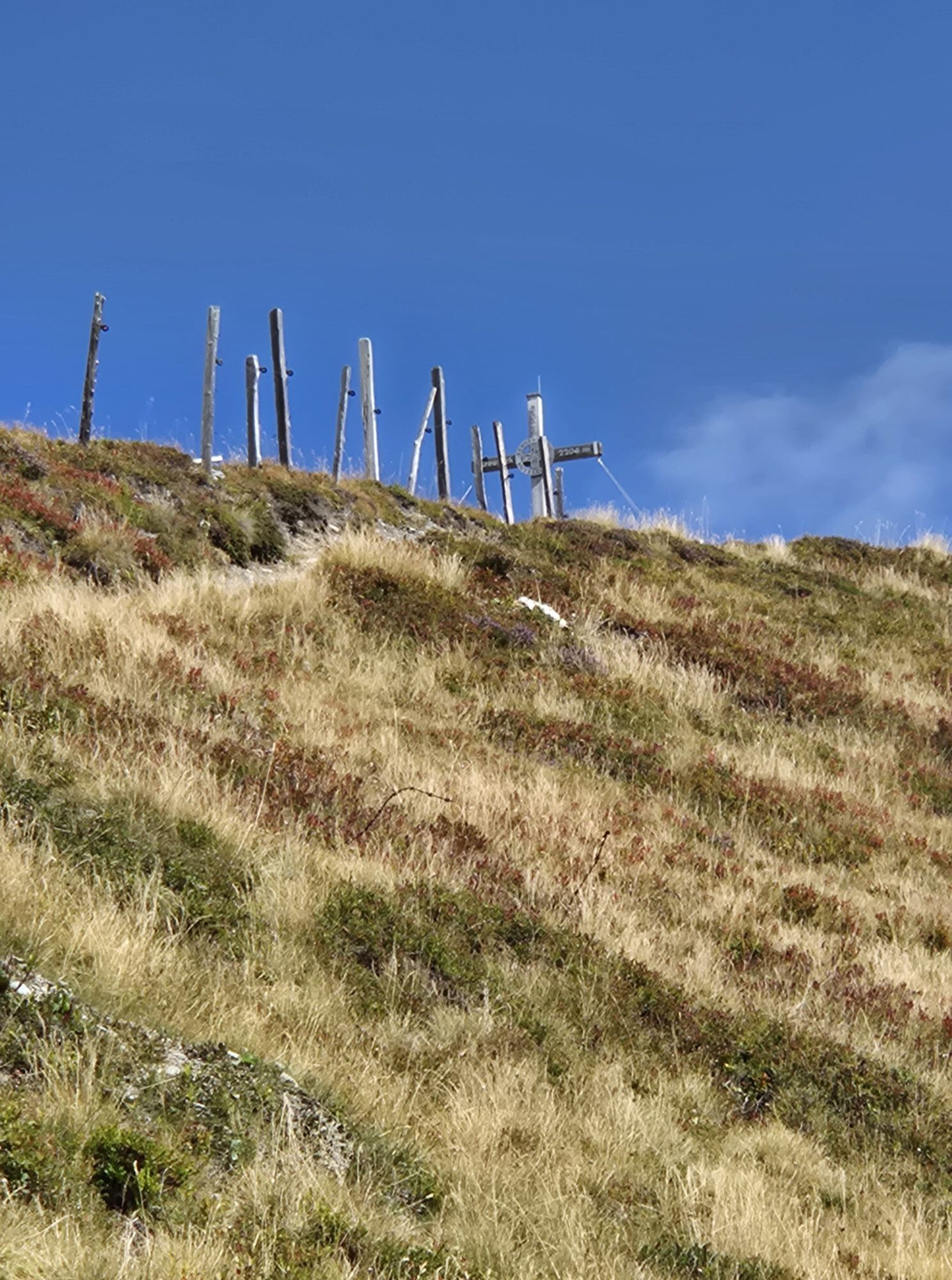
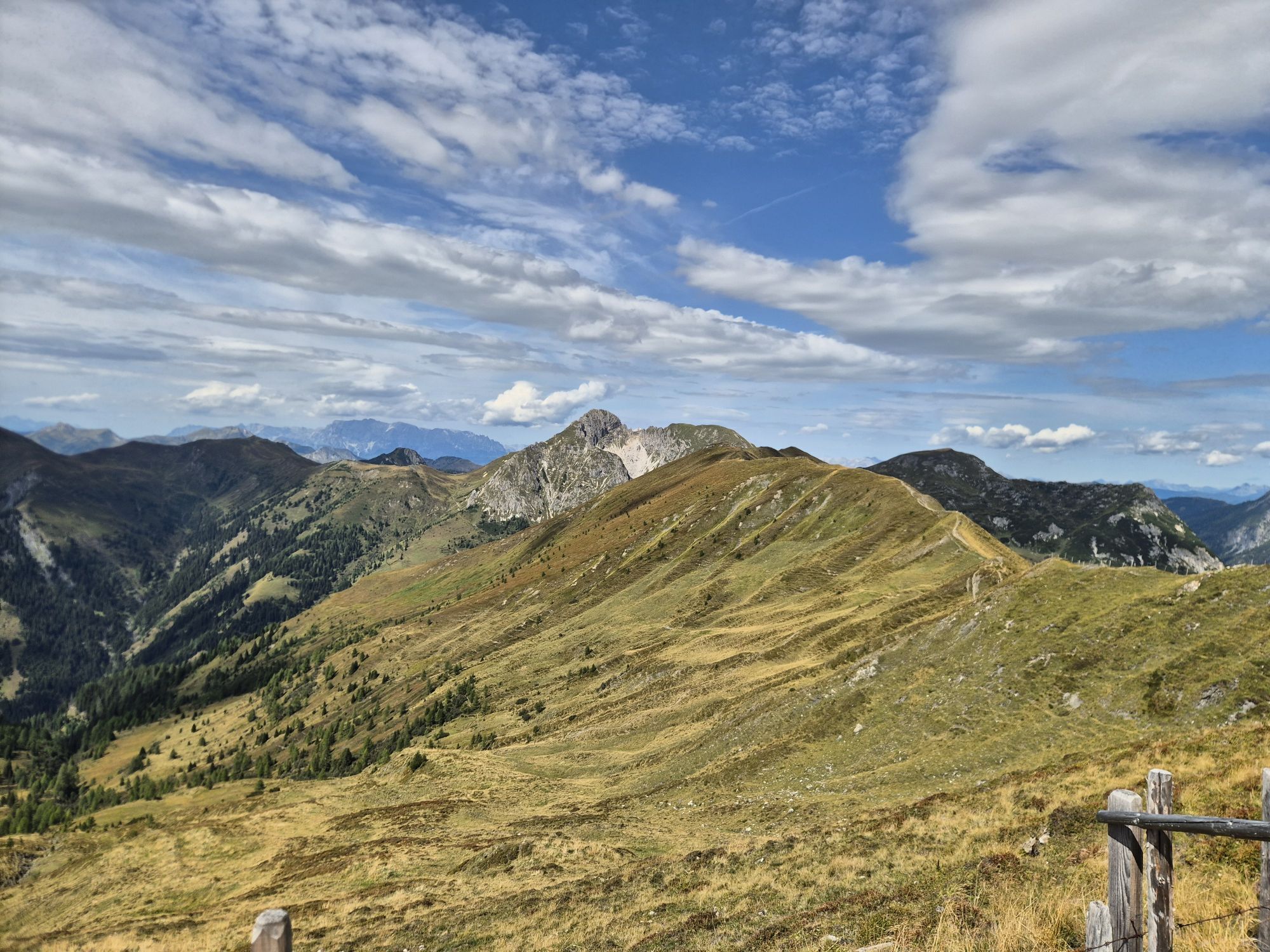
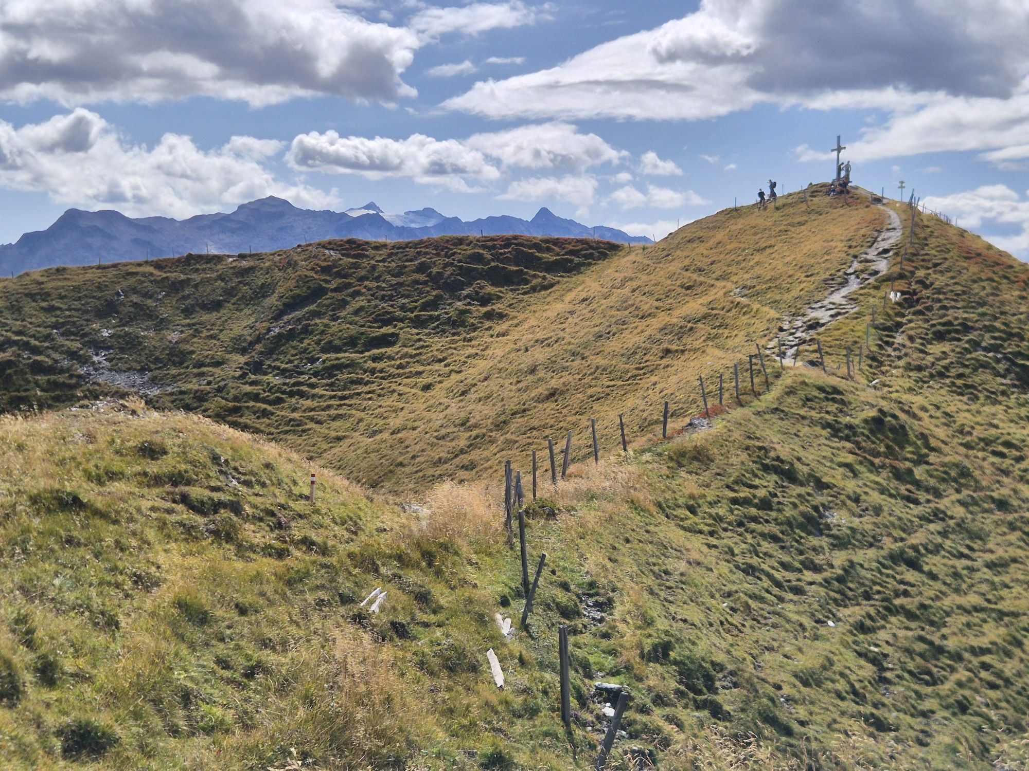
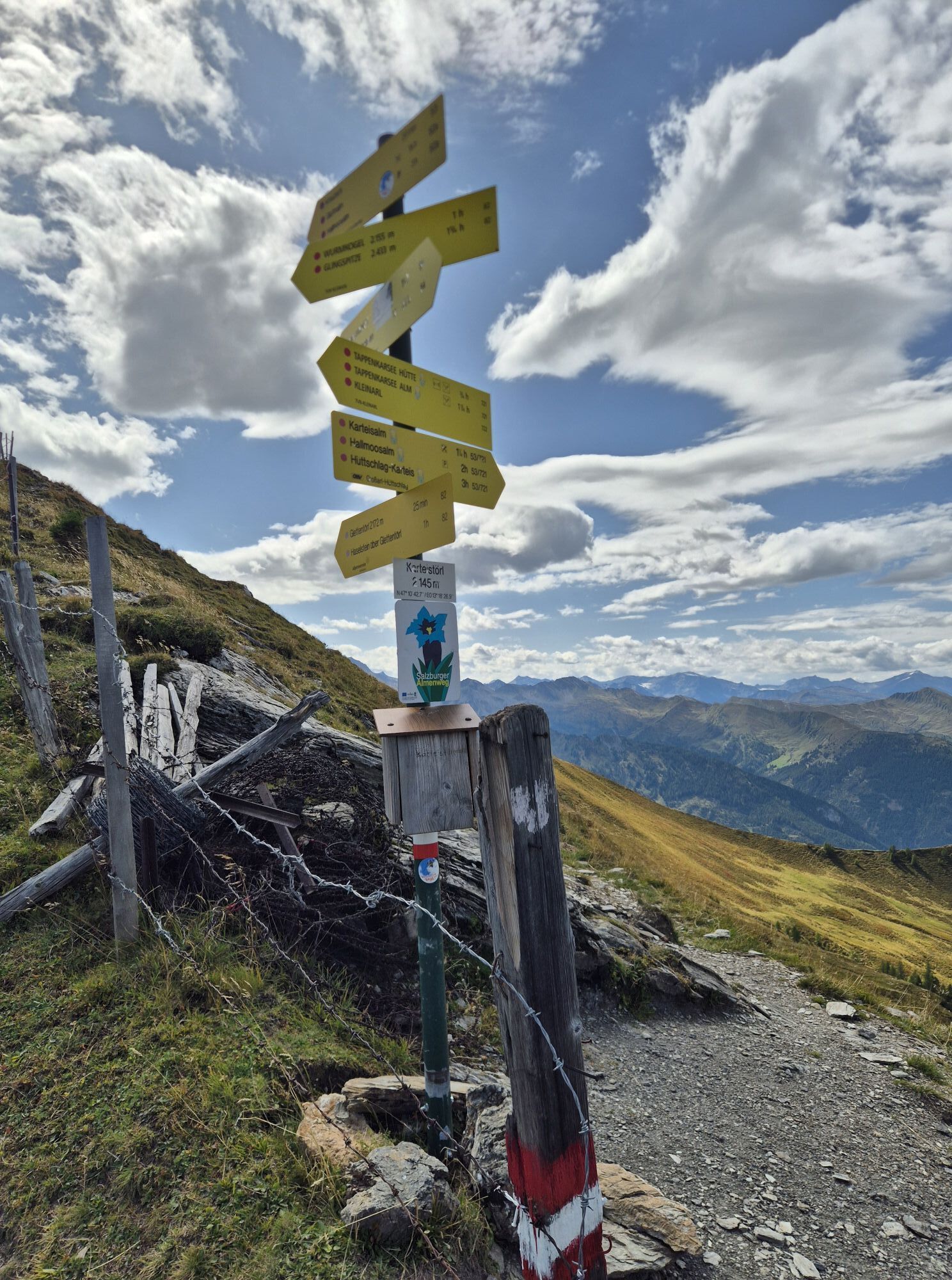
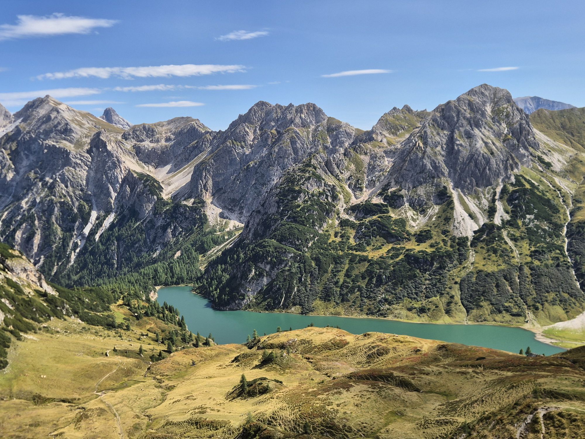
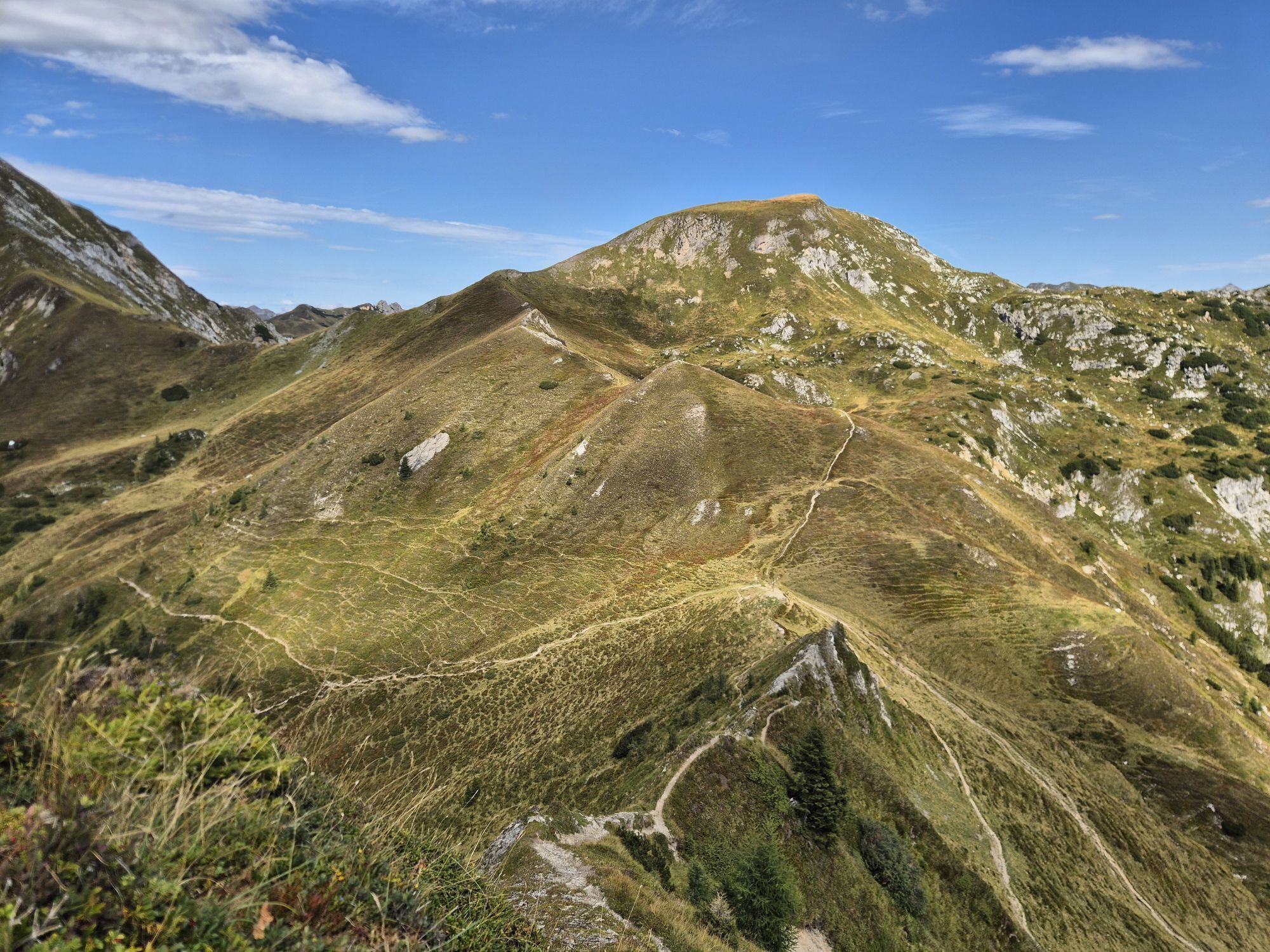
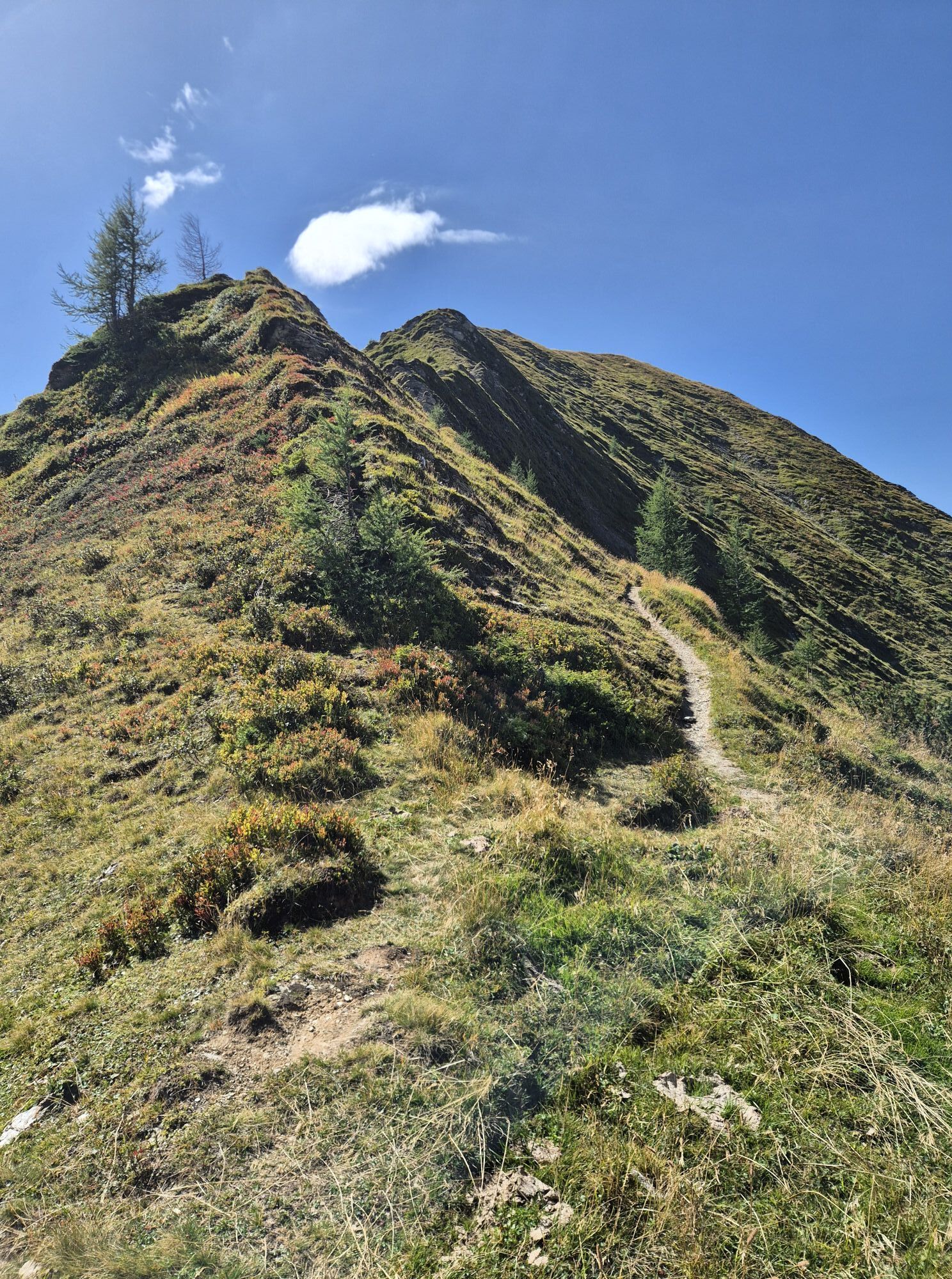
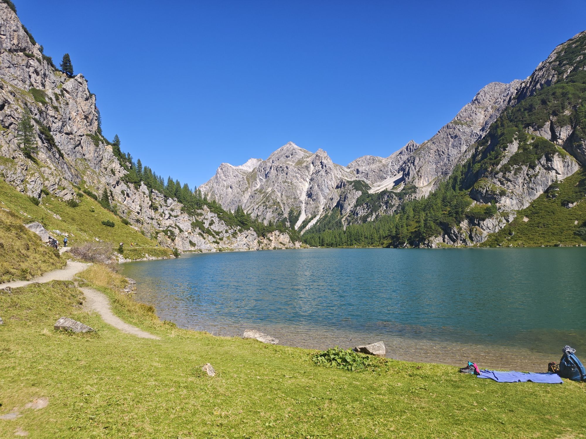
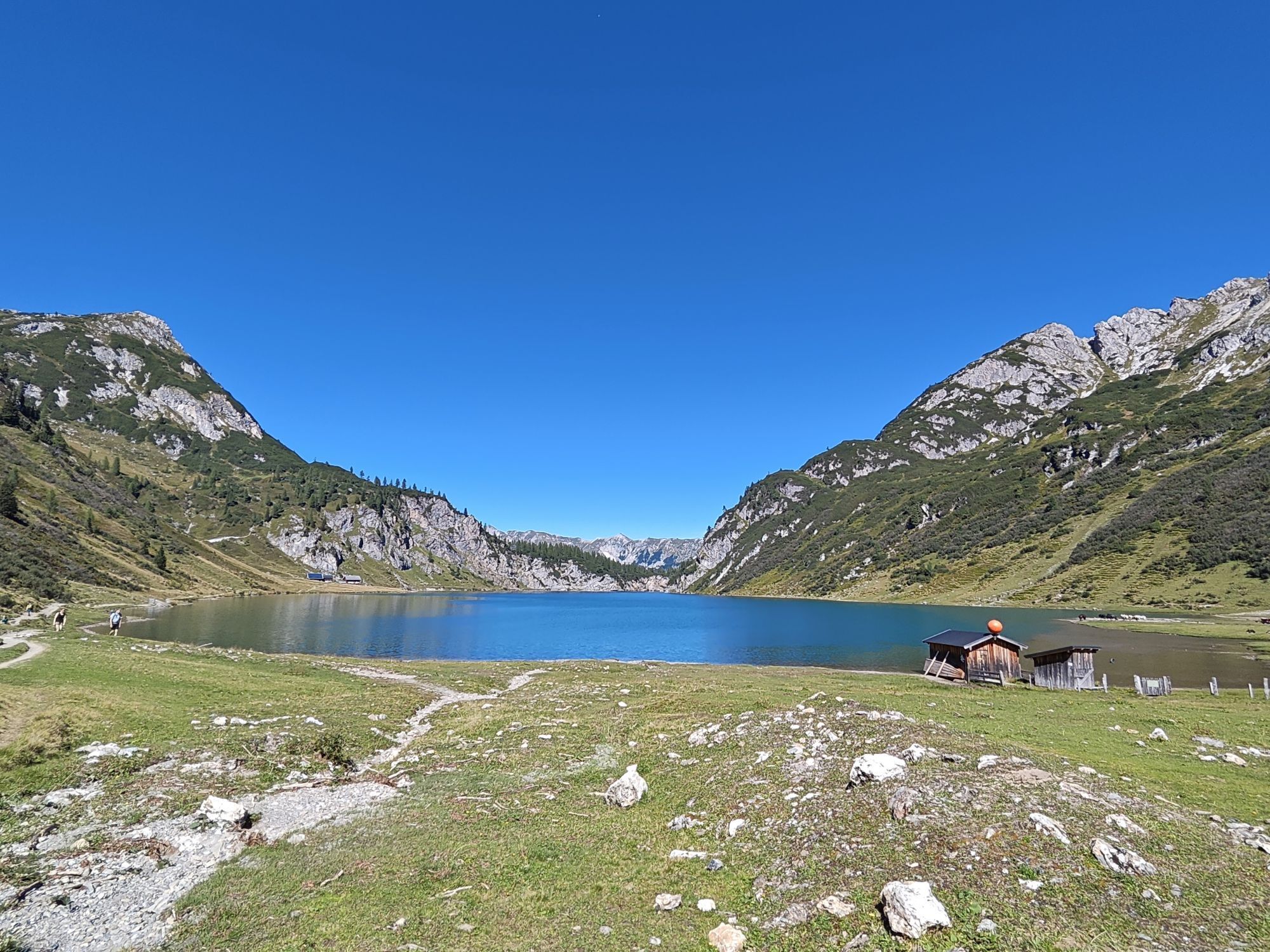
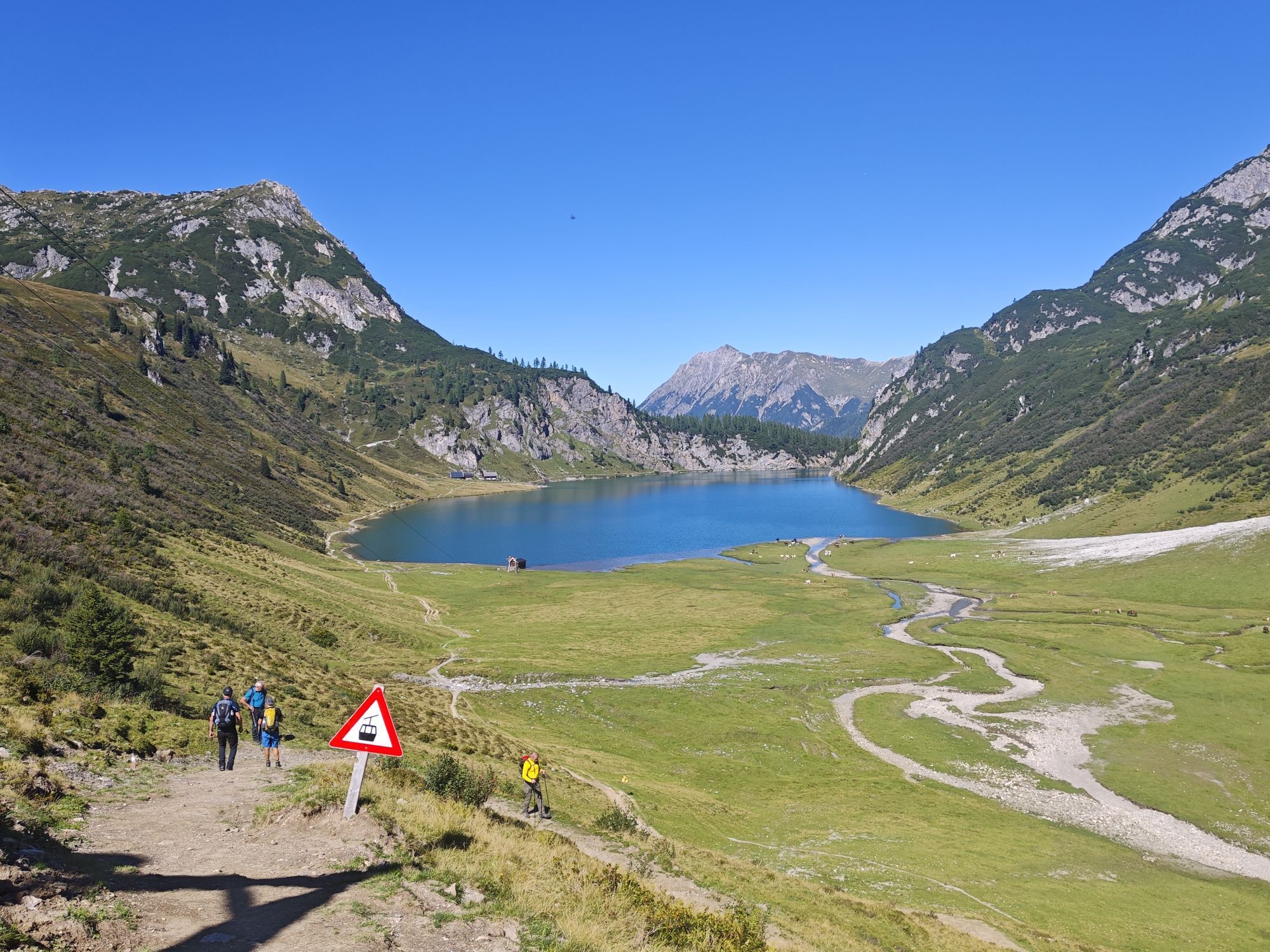
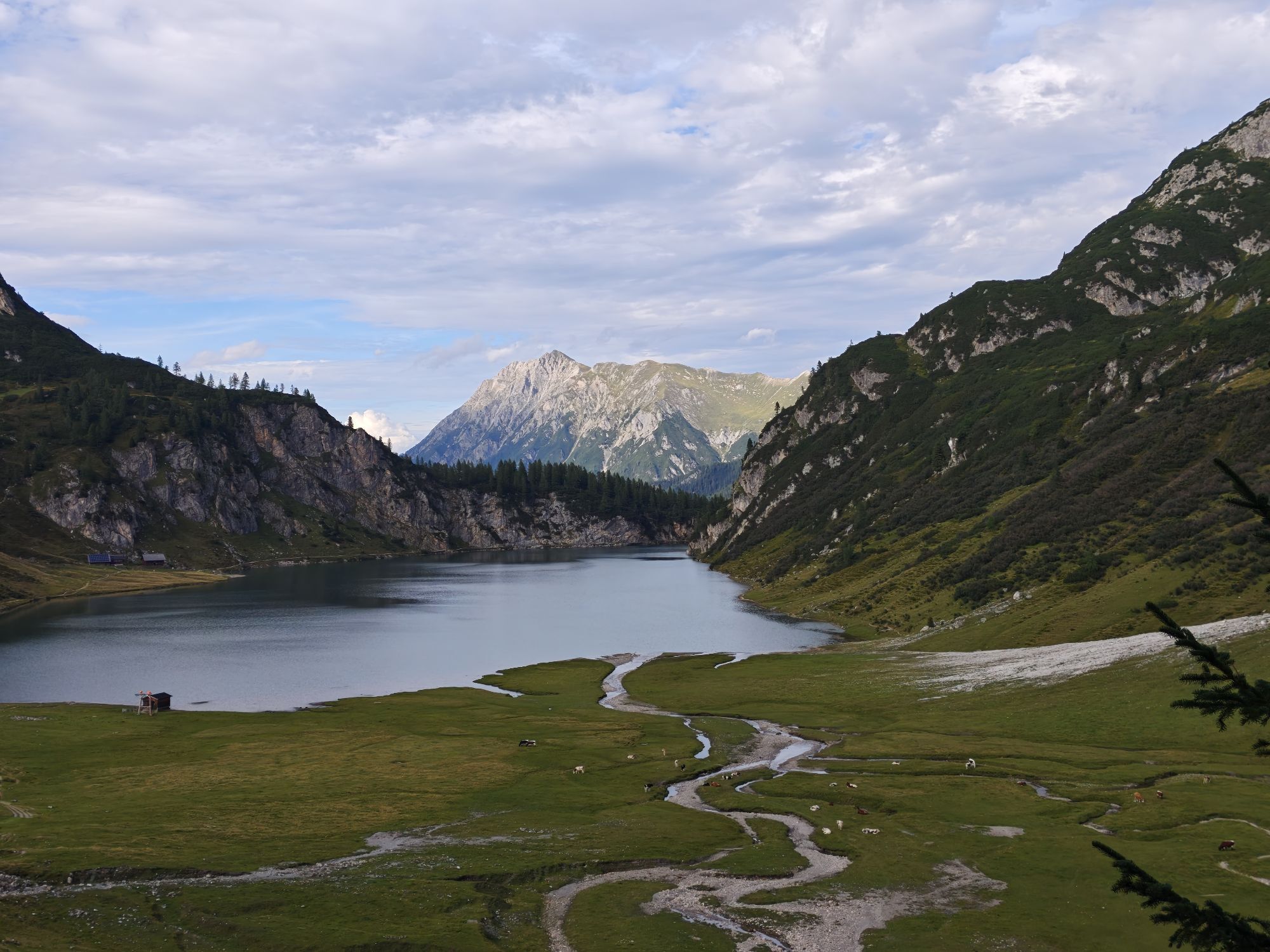
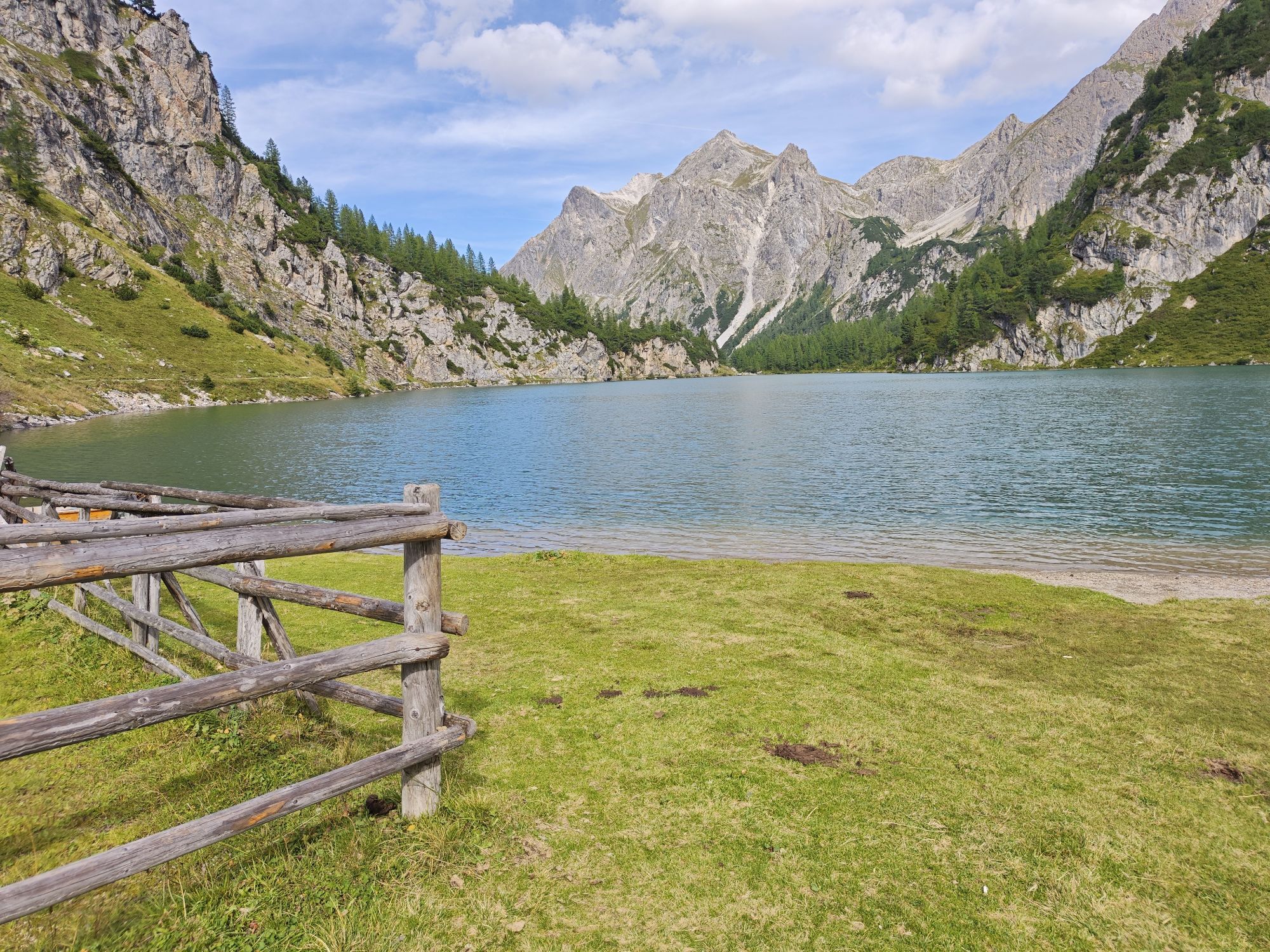
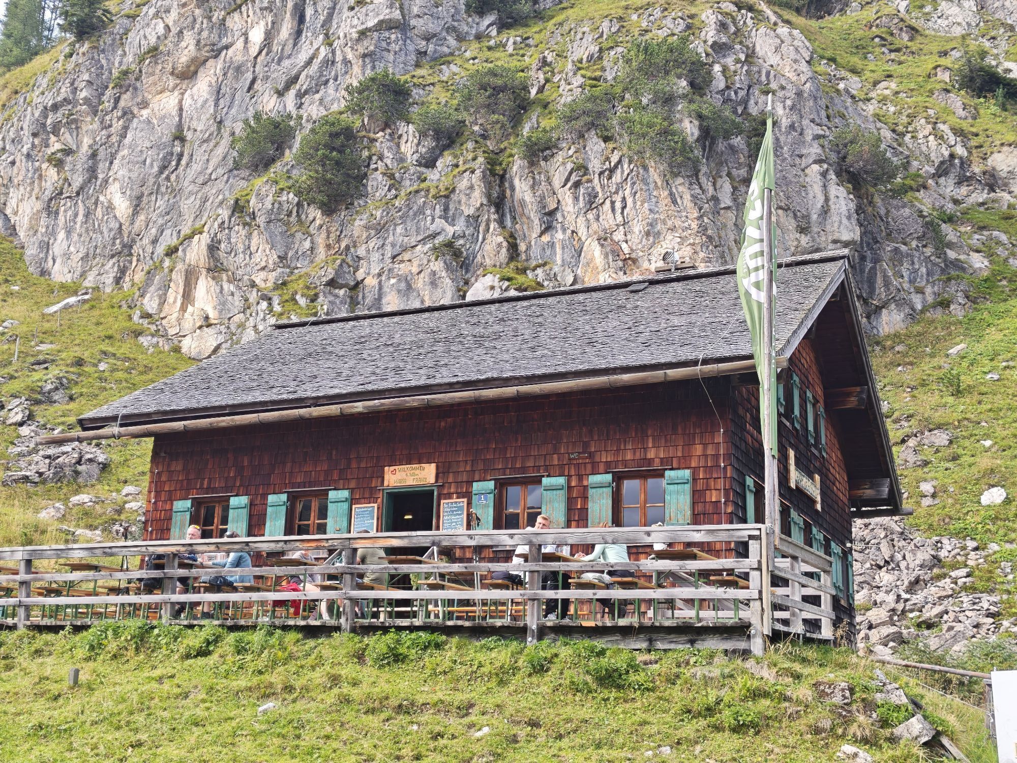
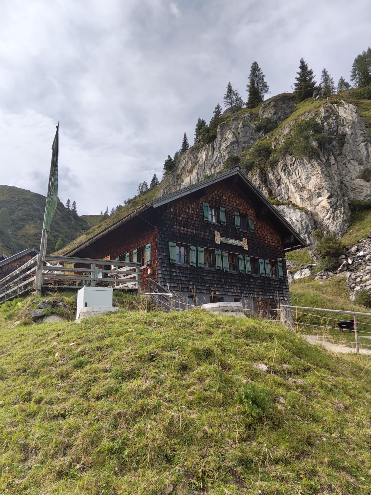
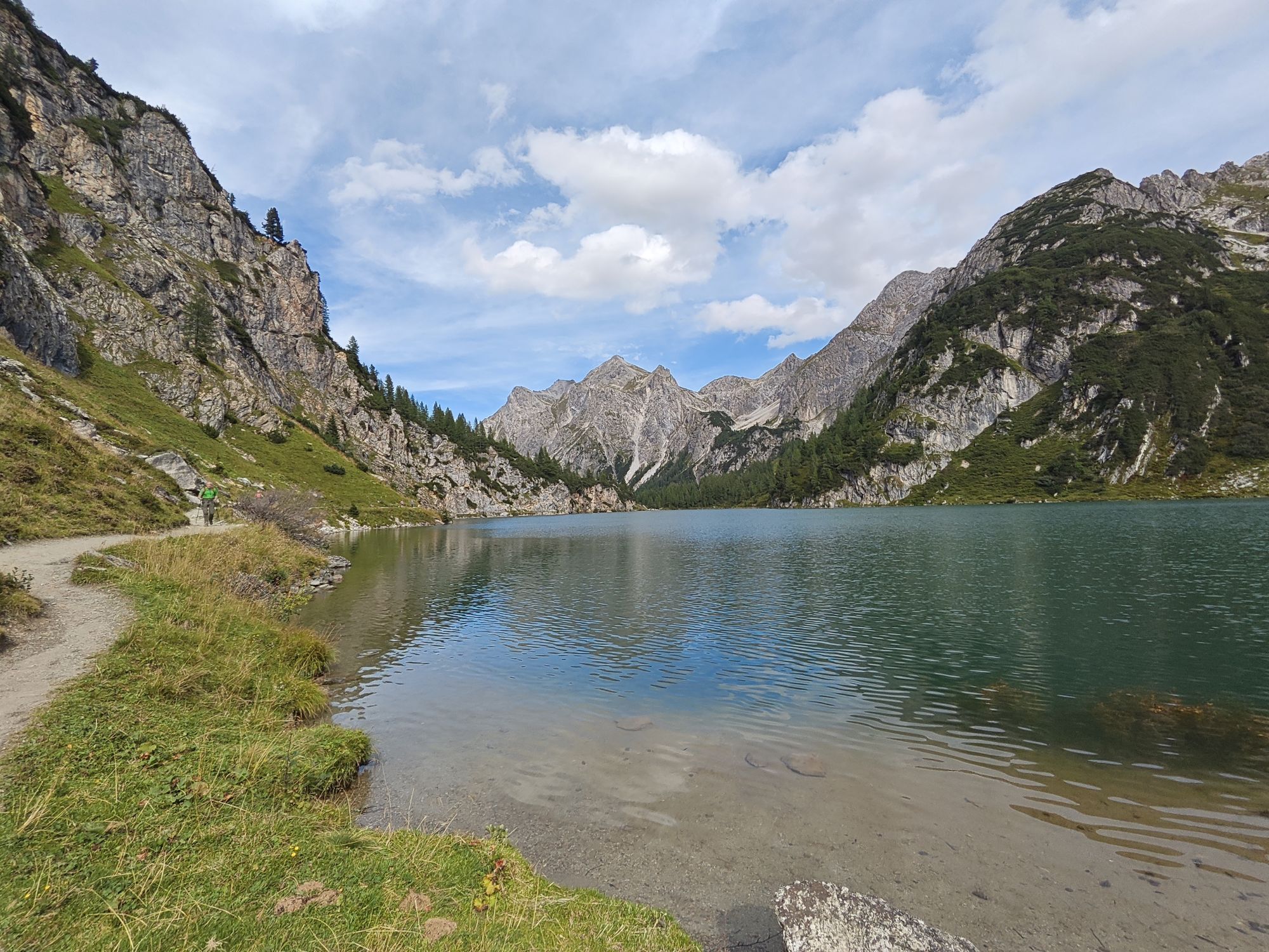
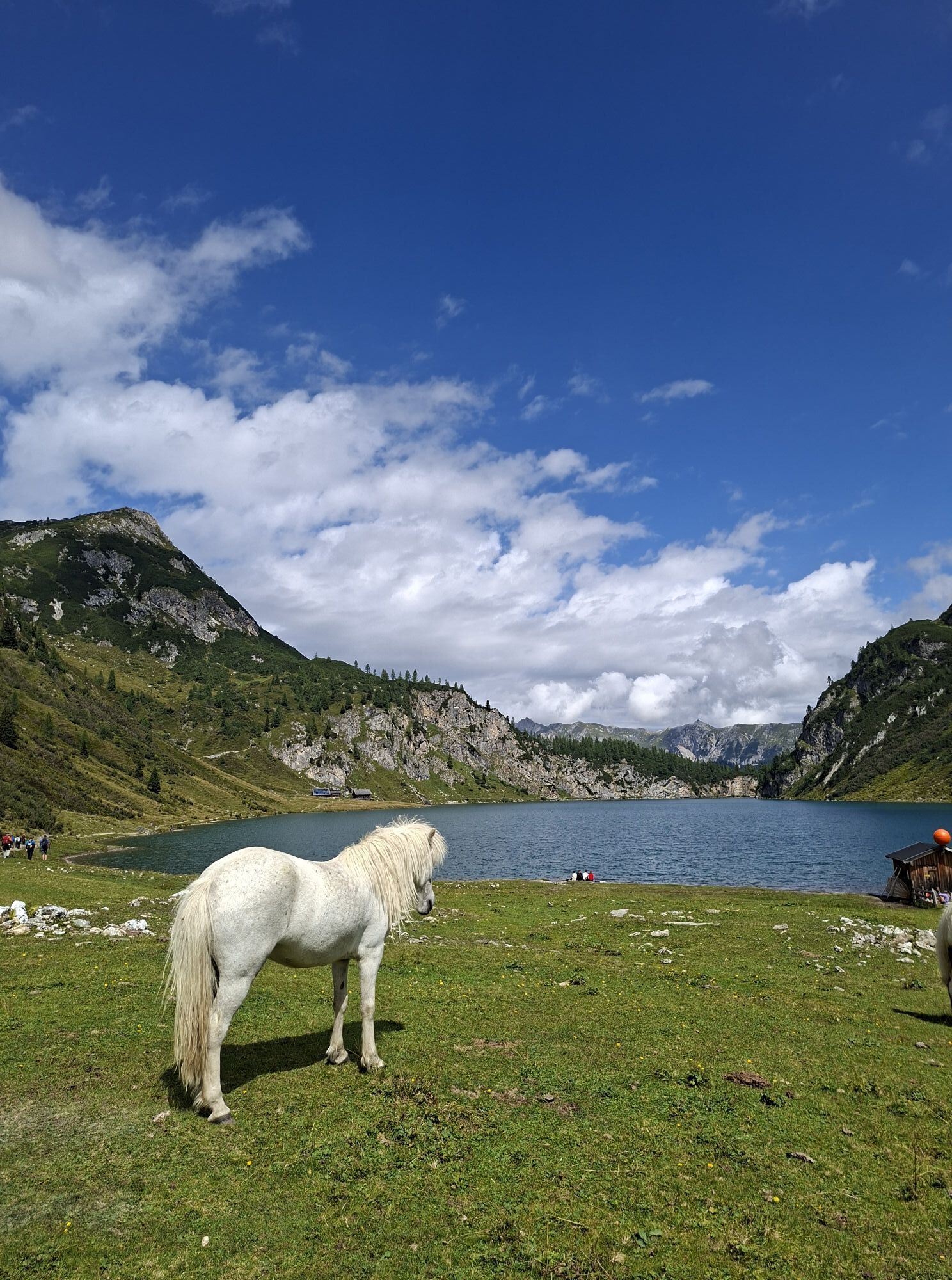
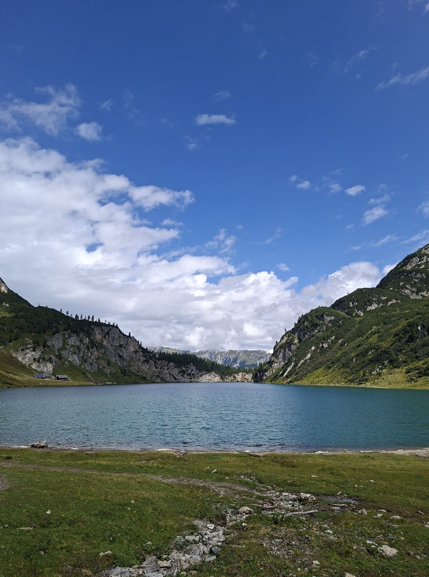
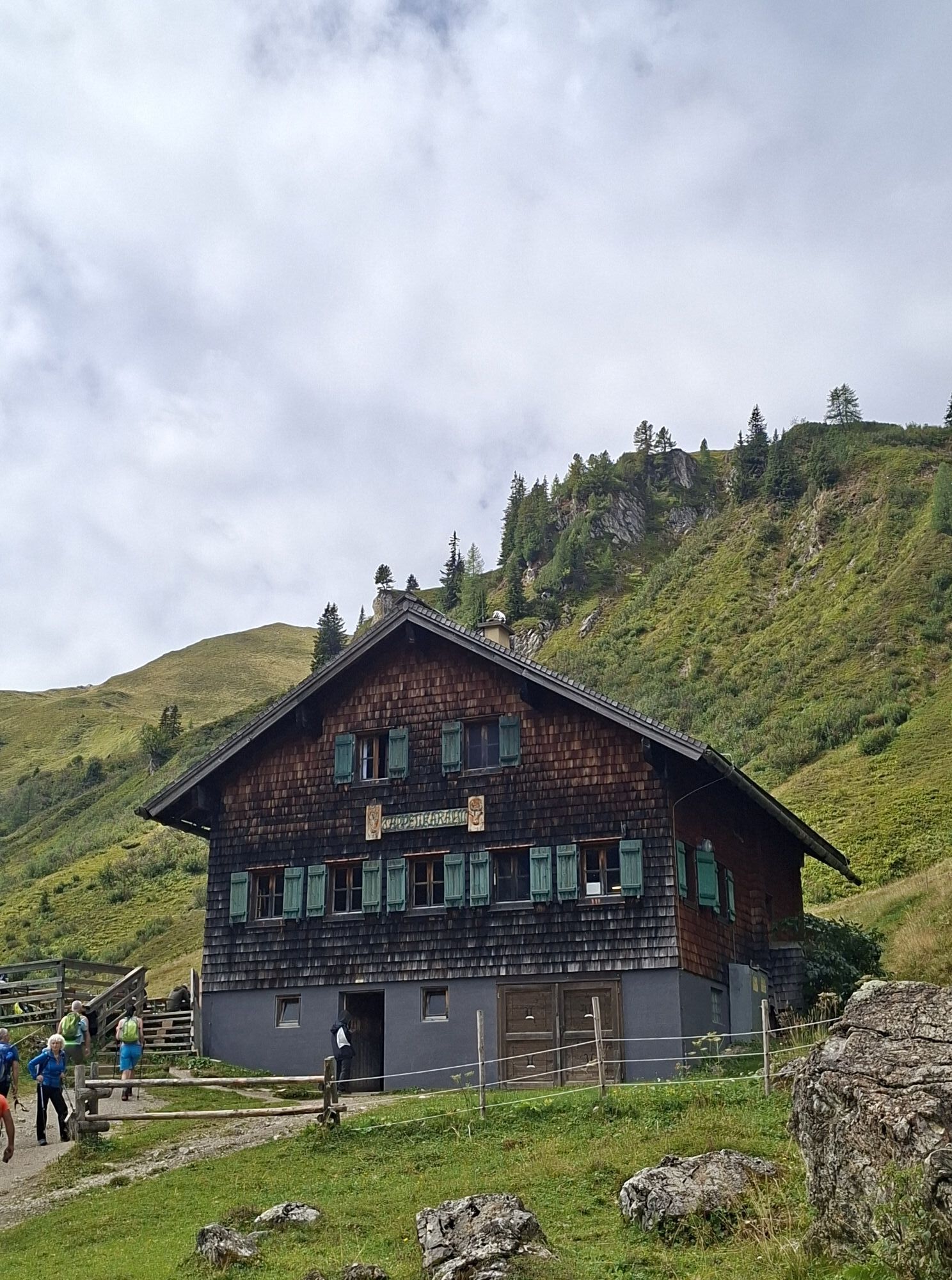
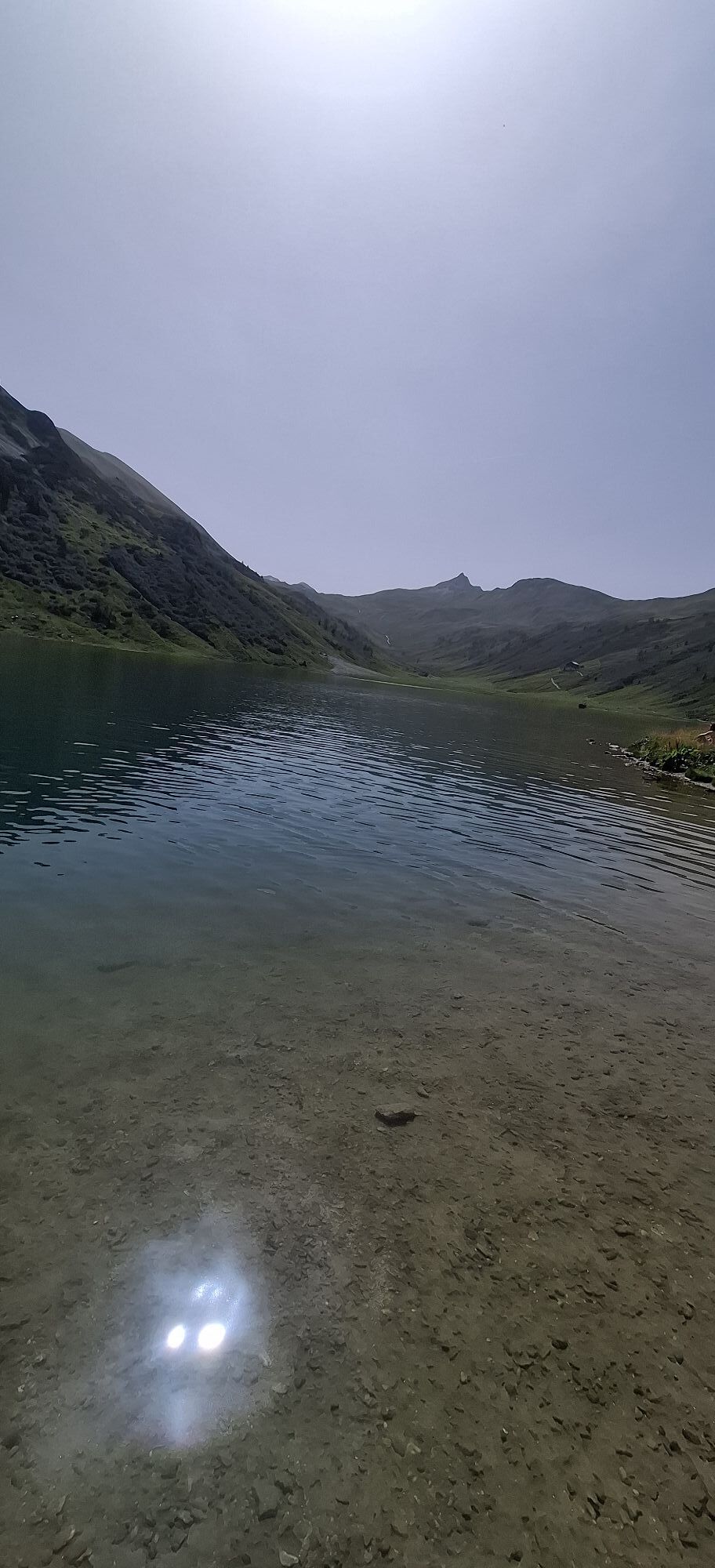
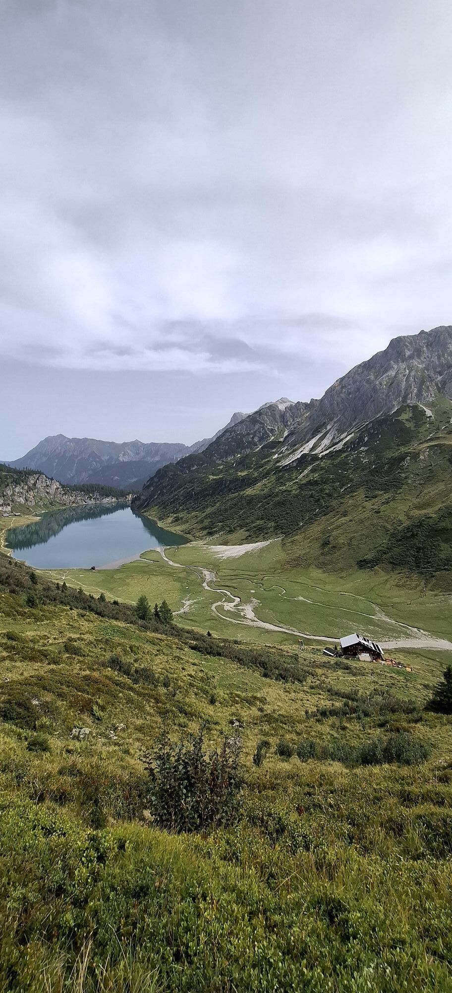
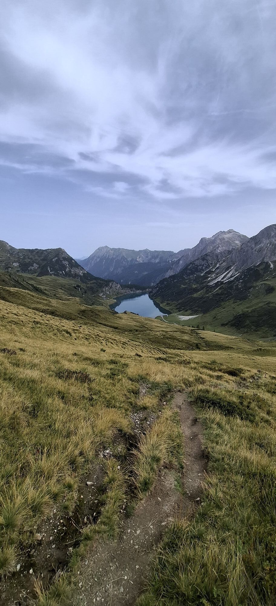
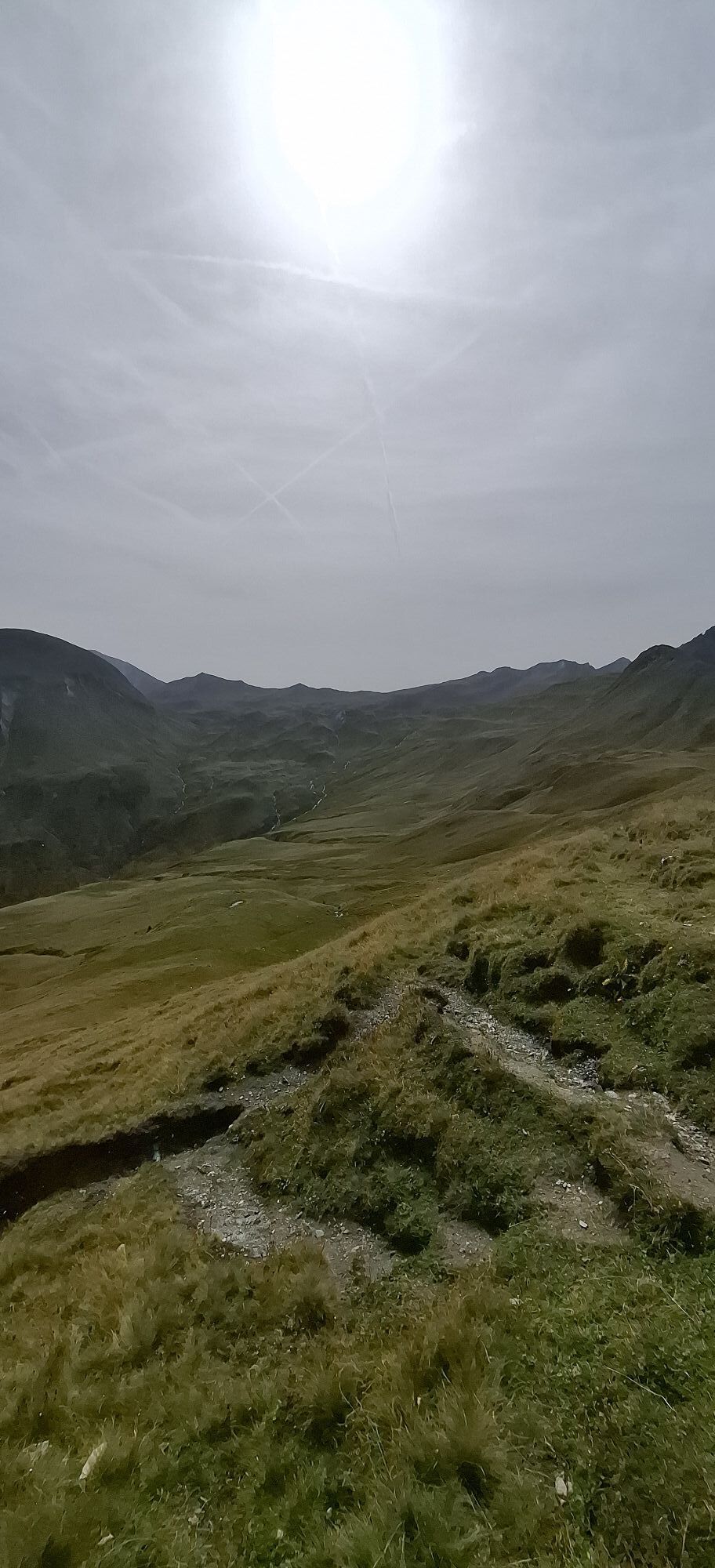
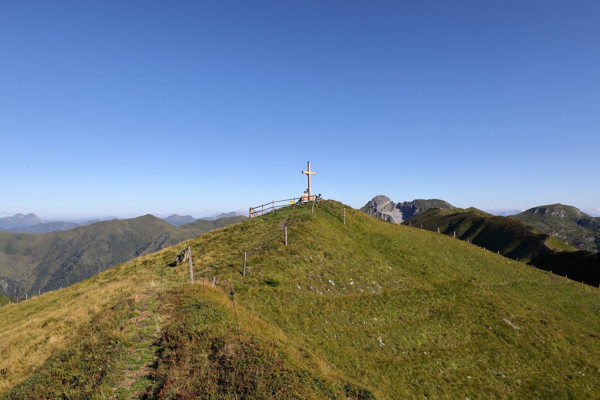
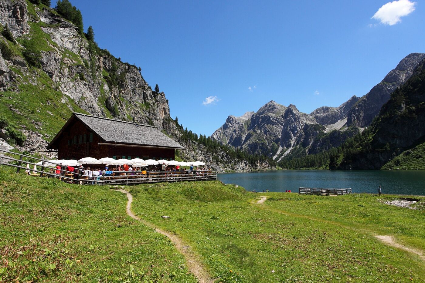
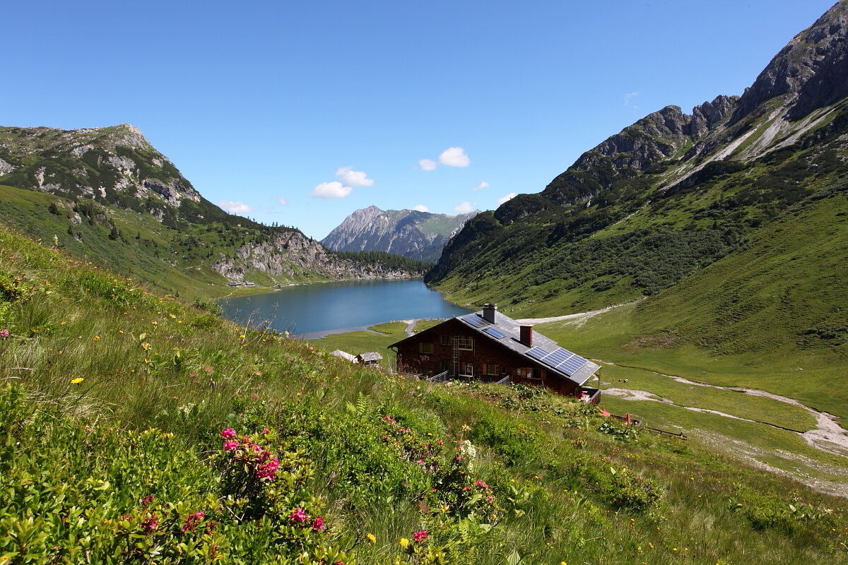
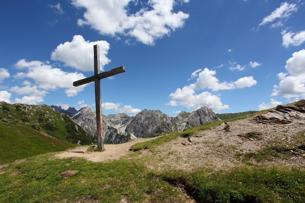
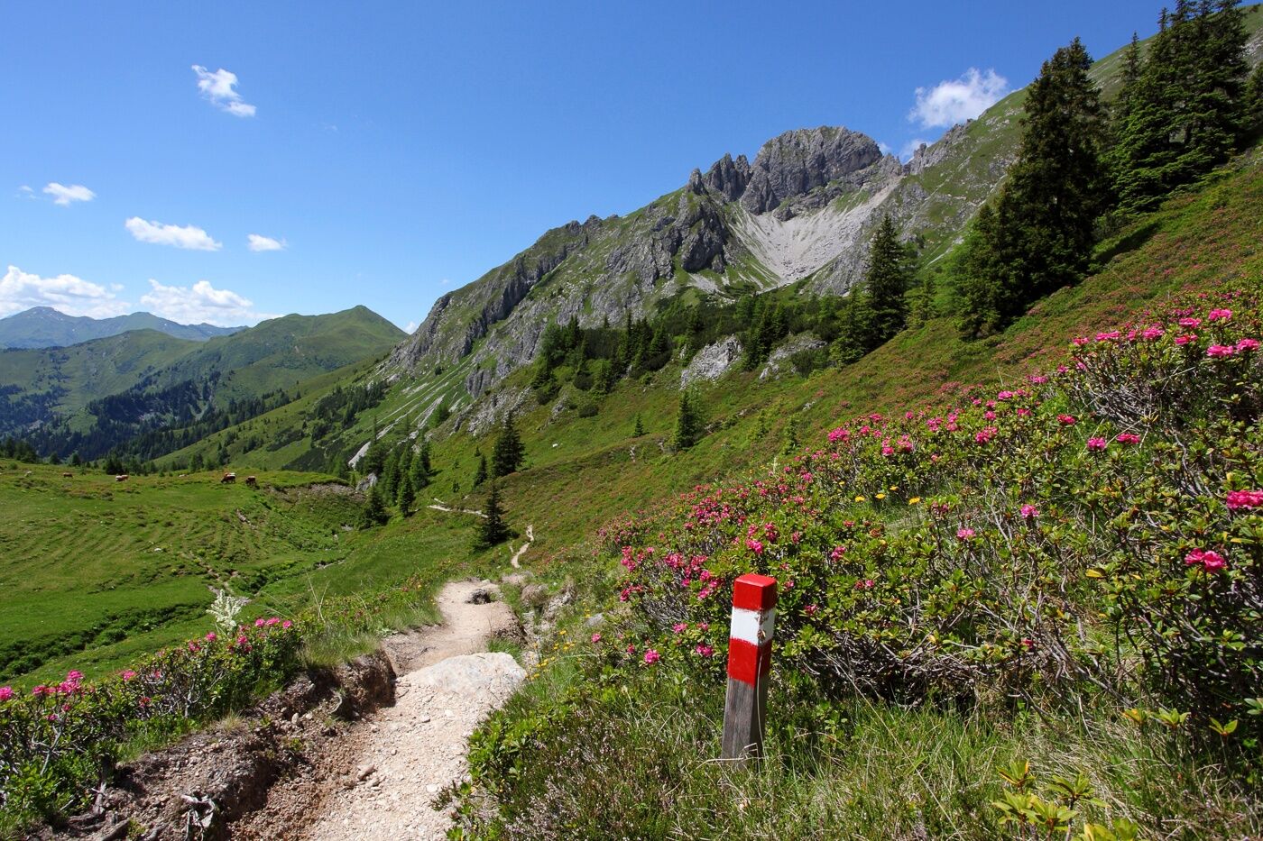
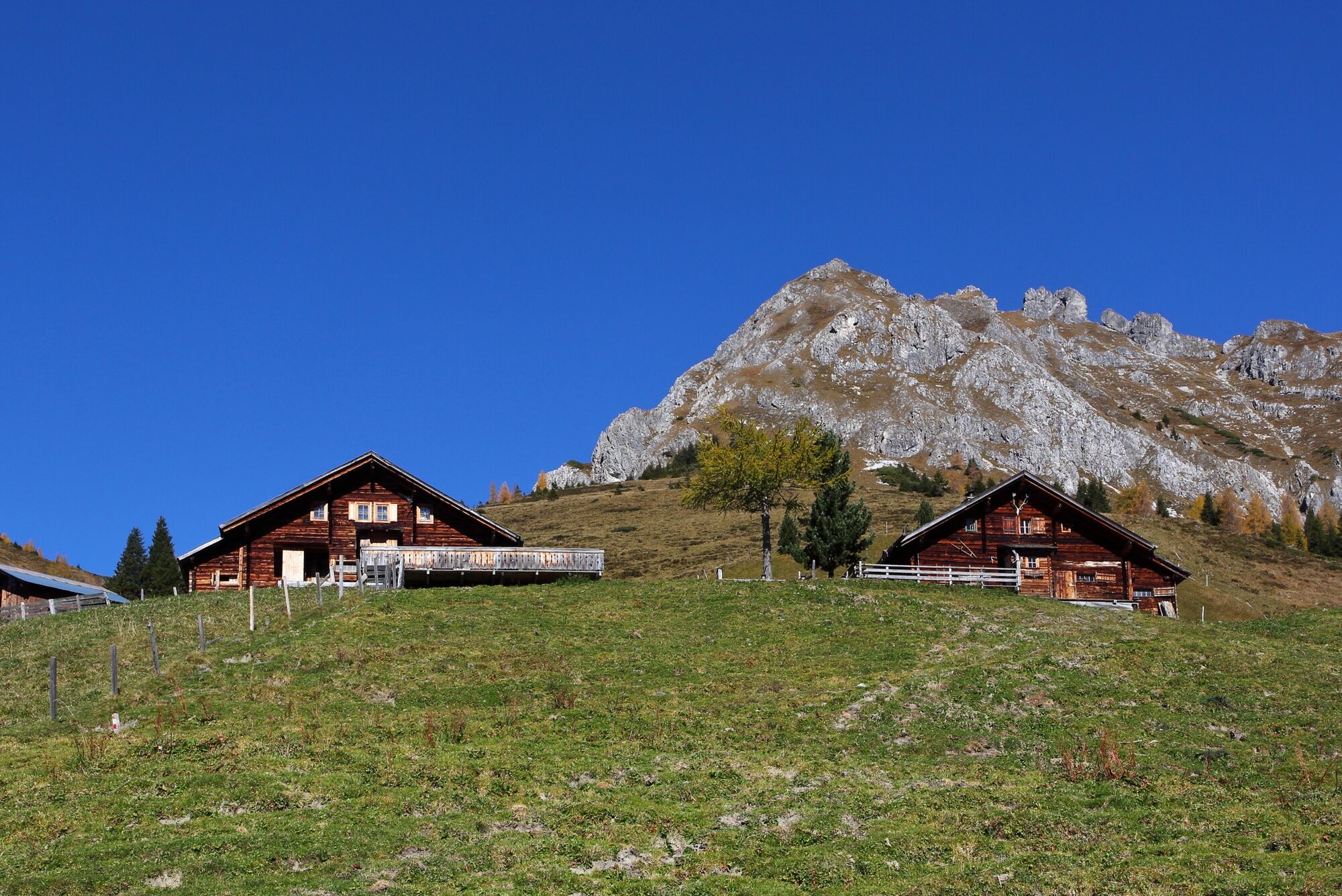
On the first day of the 3-day hut route, you start at the Hallmoosalm parking lot in Hüttschlag, hike a piece through the forest and pass the Karteisalm (not managed). Then continue over alpine meadows (especially beautiful in early summer when the alpine roses bloom) to the Kreuzeck. From here you have a fantastic view of the Tappenkarsee, the largest mountain lake in the Alps. Afterwards you descend via the Karteistörl to the Tappenkarsee. The Tappenkarsee Hut lies directly by the lake. The alpine club hut also tempts with warm delicacies. Then continue along the Tappenkarsee to the Tappenkarseealm. Afterwards, hike uphill again to the Draugsteintörl. Descent to the Draugsteinalms. Here the flora and fauna are particularly beautiful because the limestone allows many species of flowers that are otherwise very rare. At the Draugsteinalms, the right of the two huts is the Steinmann Hut and the left one the Schrambach Hut. Both huts offer delicacies from their own production and overnight accommodations.


Áno
Áno
Hiking boots with profiled soles, fruit, drinks (refillable bottles), wind and rain protection, toiletries, warm clothing and change of clothes, slippers, flashlight, mini first aid kit, hiking map, sunscreen, chocolate or muesli bars, a thin hut sleeping bag is recommended.
The starting point is the Hallmoosalm parking lot, 1,300 m. You reach it coming from St. Johann im Pongau via the Großarler Landesstraße (L 109) to Hüttschlag, then to the district Karteis, where you turn left and follow the Seilsitzberg farm road uphill. You can also take the Postbus line no. 540 to the stop "Karteis" and walk from there (approx. 1 h to Hallmoosalm).
Hallmoosalm parking lot - there are parking spaces directly at Hallmoosalm and further up there are more
With some luck, you can spot a marmot in the area of the Tappenkarsee.
Webové kamery z prehliadky



Obľúbené výlety v okolí
-
5,0
Hüttschlag: Karteistörl - Tappenkarsee - Draugsteintörl - Draugsteinalmen
strednáTuristika 13,5 km -
4,9
4-Gipfel-Tour
strednáHorská turistika 6,40 km -
4,2
Tappenkarsee Kleinarl
strednáTuristika 9,11 km -
4,8
Großarl: Himmelsroute
strednáTuristika 5,41 km -
4,7
Großarl: Mooslehenalm – Niggeltalalm – Viehhausalm
strednáTuristika 5,44 km -
4,7
Großarl: Saukaralm - Saukarkopf - Gerstreitalm
strednáTuristika 9,39 km -
4,5
Gastein high path from Bad Gastein to Bad Hofgastein
svetloTuristika 8,58 km -
4,8
Grossarl: Gründegg
strednáTuristika 9,58 km -
4,8
Großarl: Bichlalm
strednáMountainbike 18,9 km -
4,4
Ennskraxn (2410m)
ťažkéTuristika 14,7 km
Turistika a stopovanie


Nenechajte si ujsť ponuky a inšpiráciu na ďalšiu dovolenku
Vaša e-mailová adresa bol pridaný do poštového zoznamu.


