







Via Alpina 2nd stage

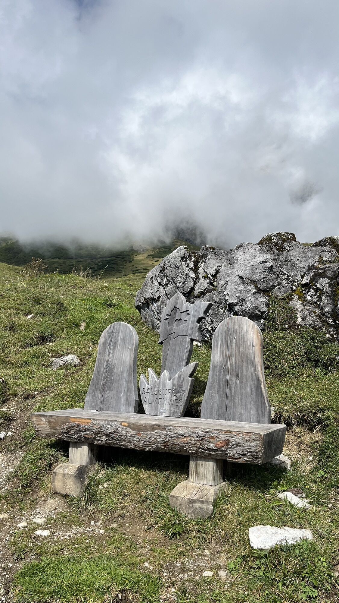
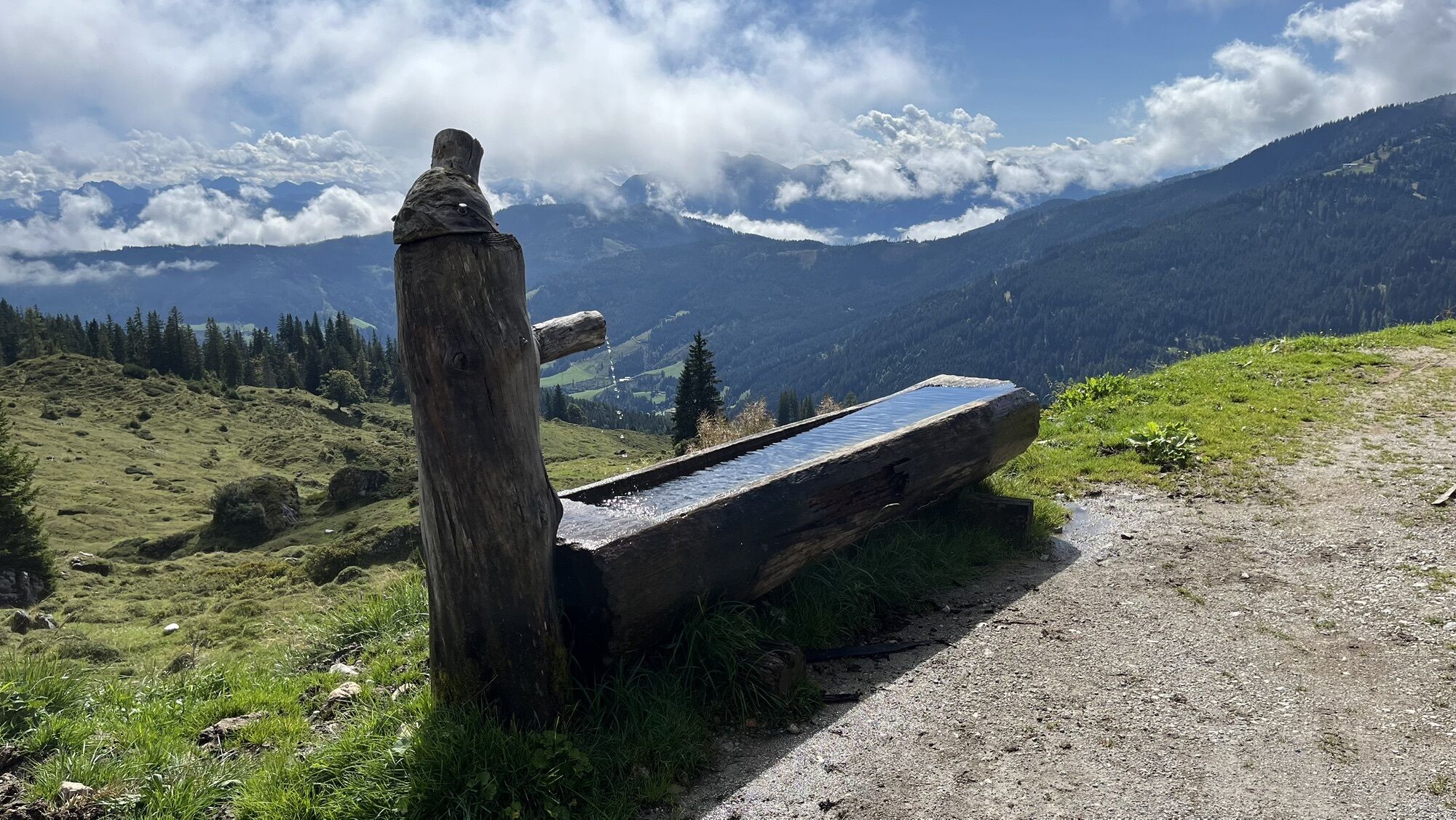
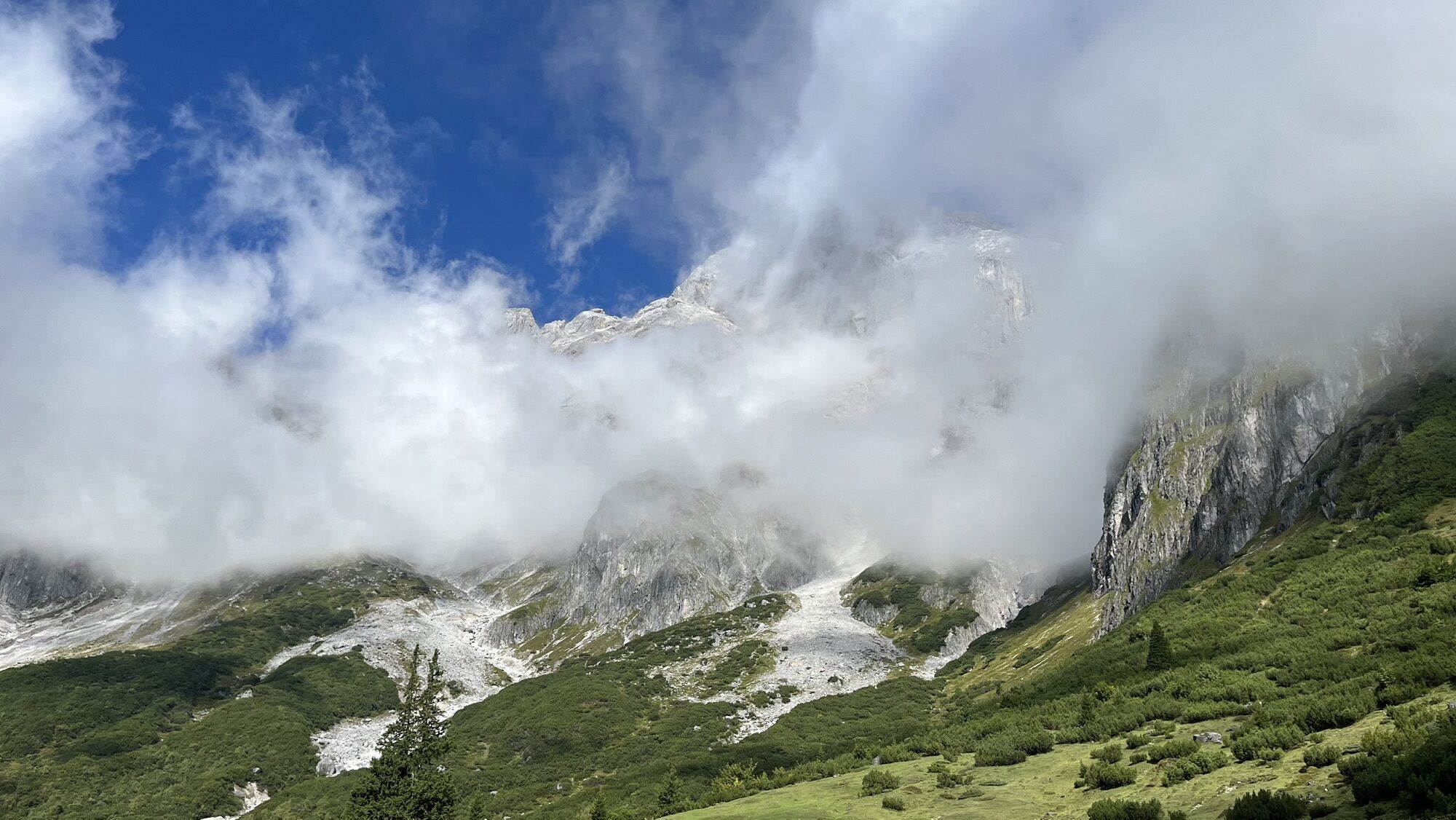
The Via Alpina is a cross-border hiking trail from Trieste to Monaco. On its five routes, it passes through the eight Alpine countries: Italy, Slovenia, Germany, Austria, Switzerland, Liechtenstein, France,...
The Via Alpina is a cross-border hiking trail from Trieste to Monaco. On its five routes, it passes through the eight Alpine countries: Italy, Slovenia, Germany, Austria, Switzerland, Liechtenstein, France, and Monaco. Three of the total 342 day stages pass through the Hochkönig region.

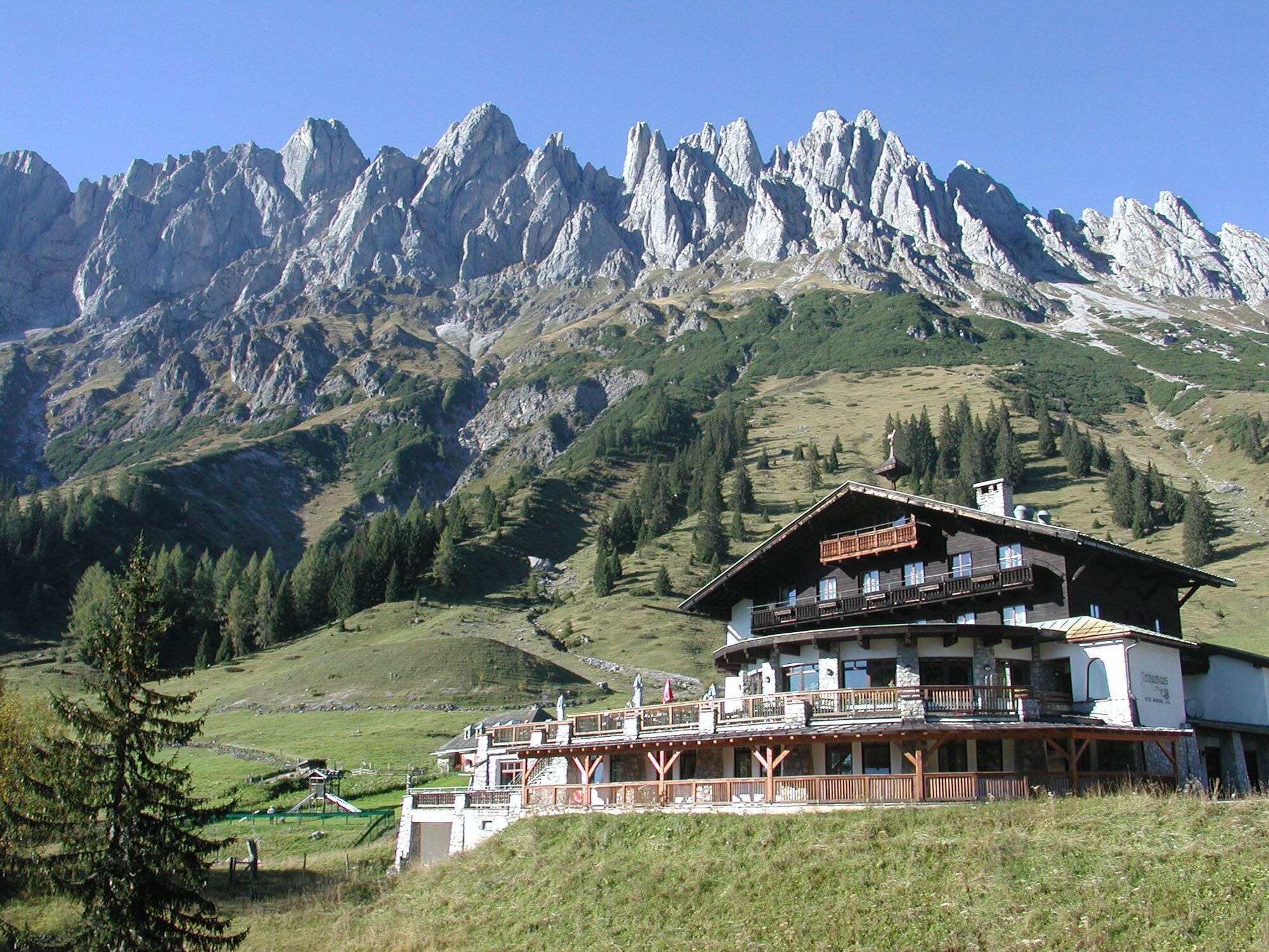
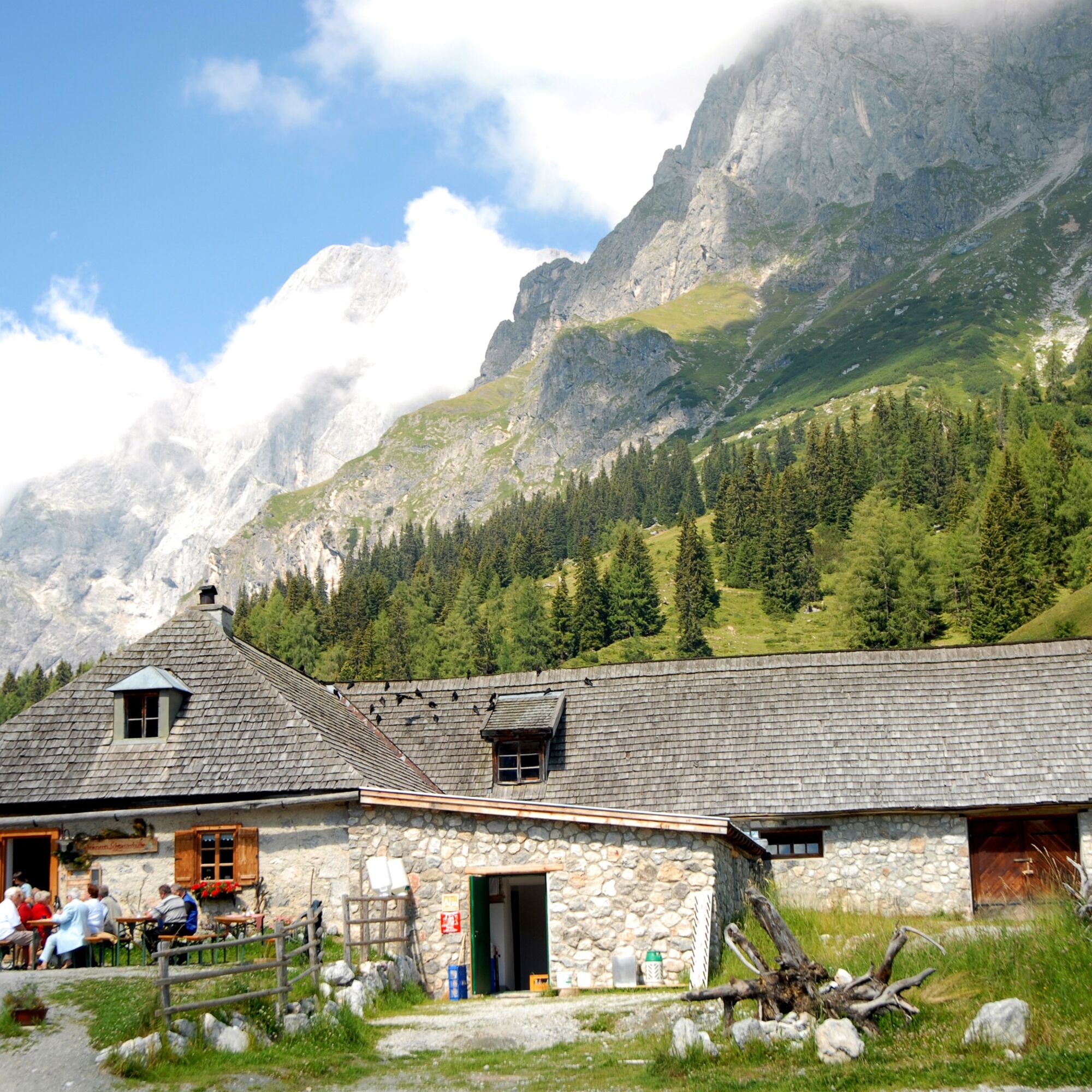
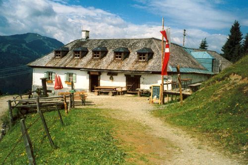
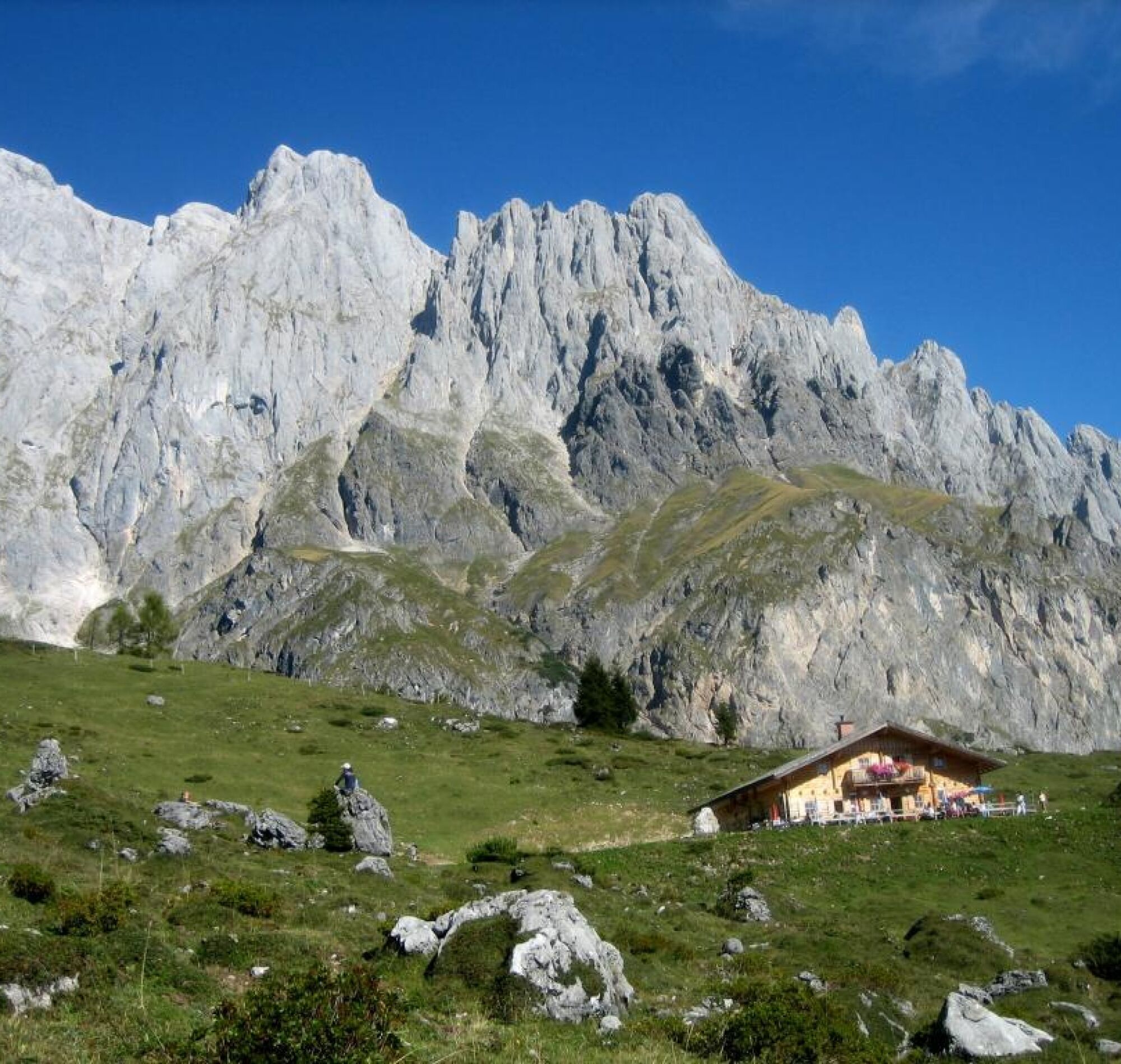
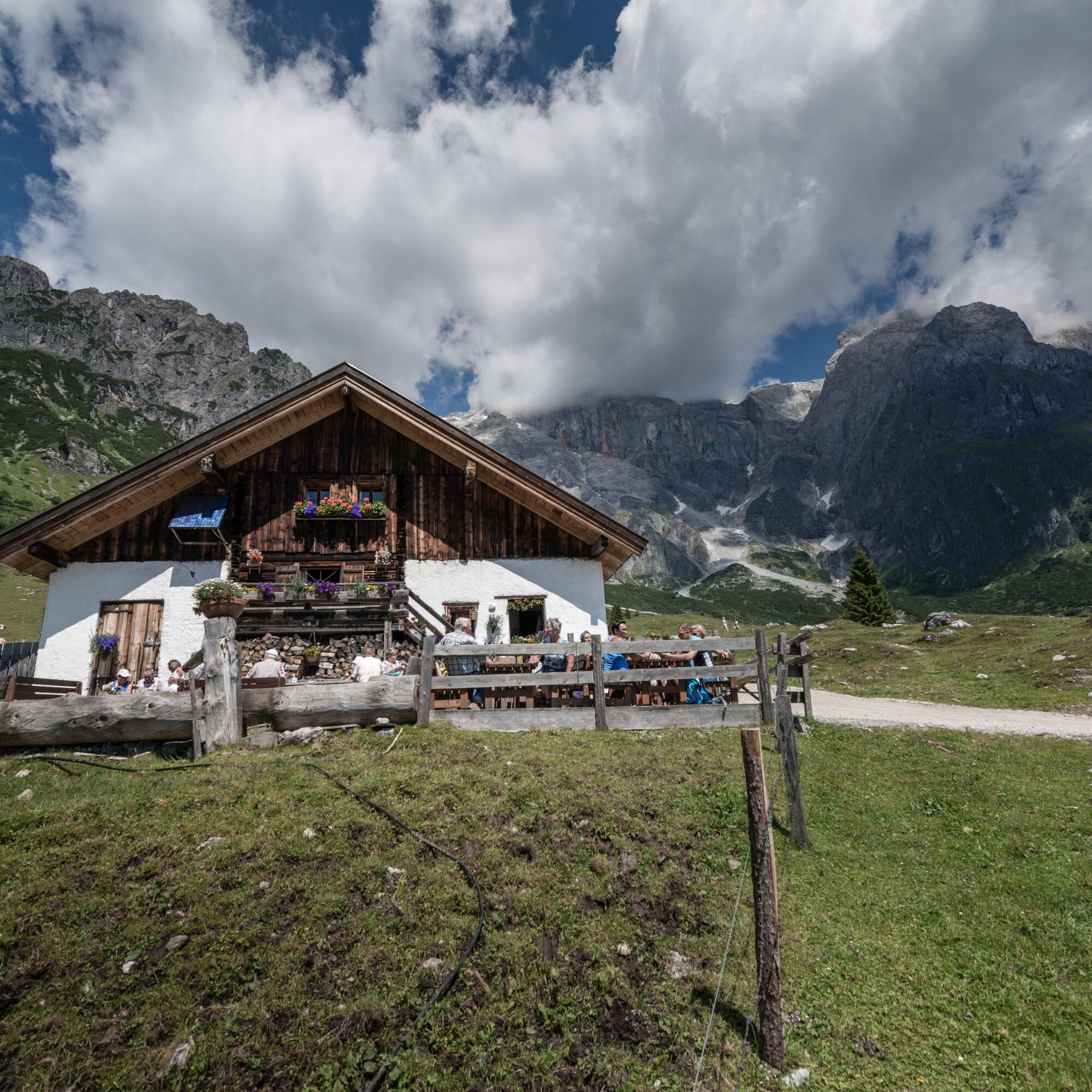

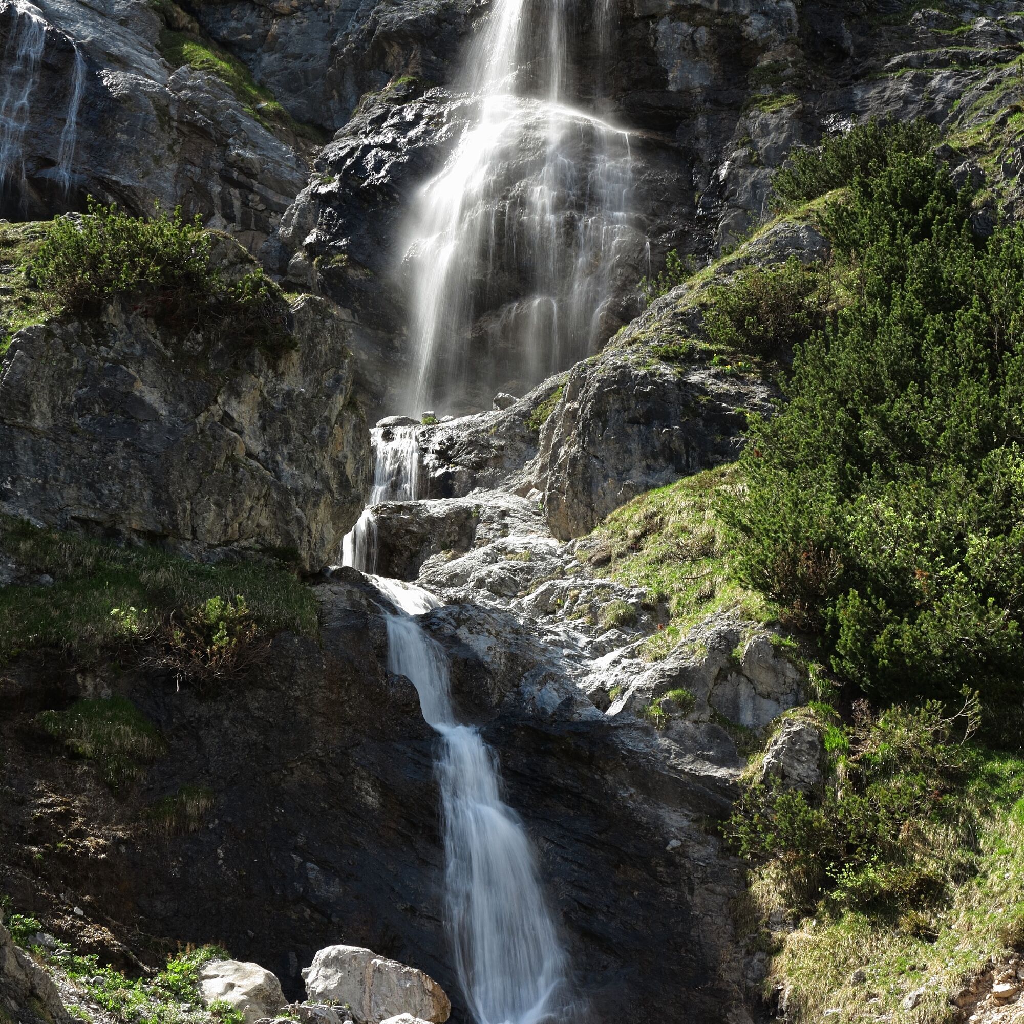
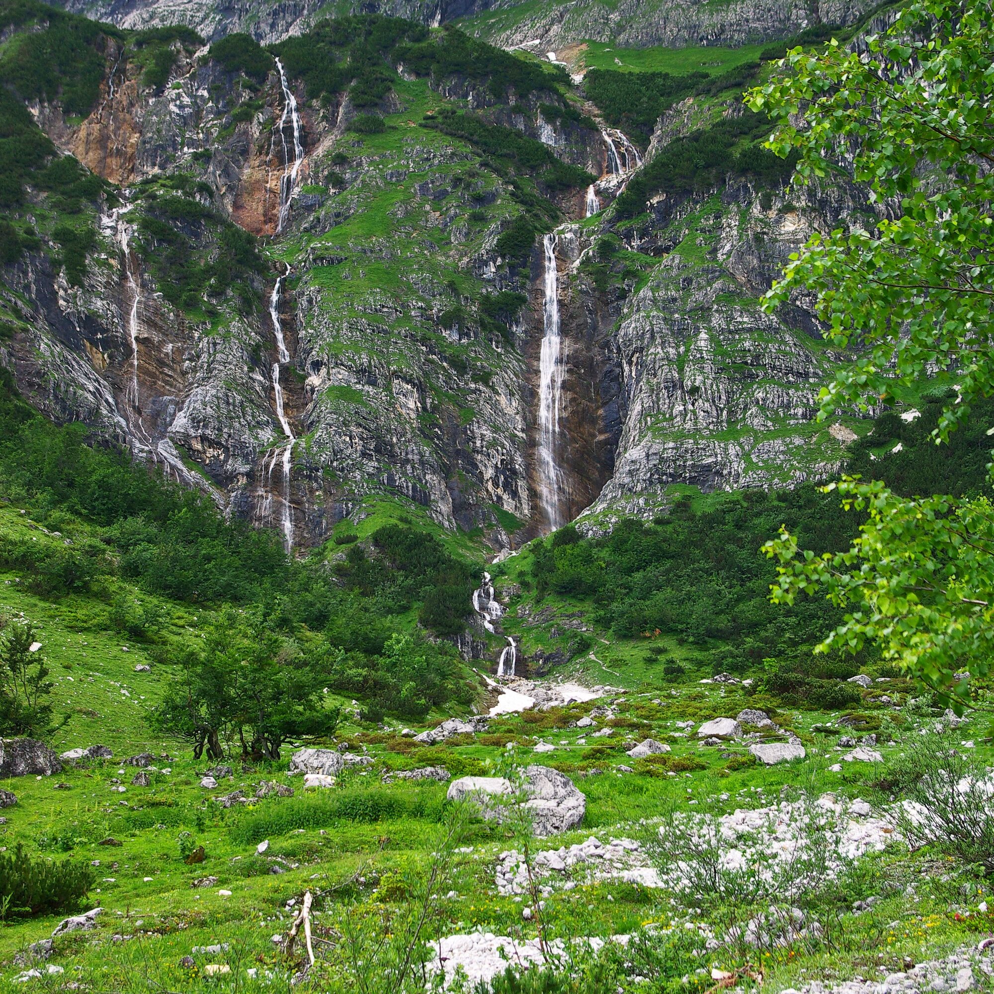
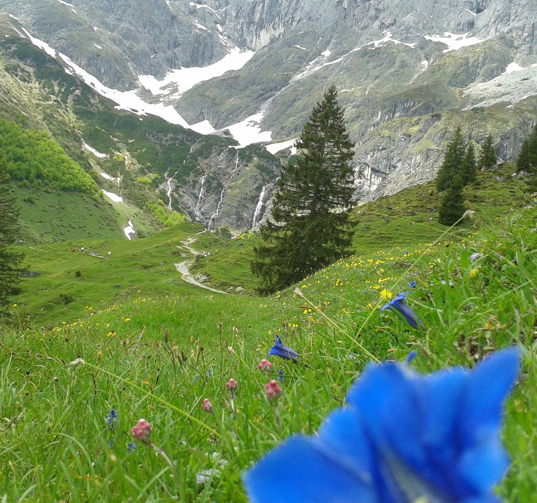
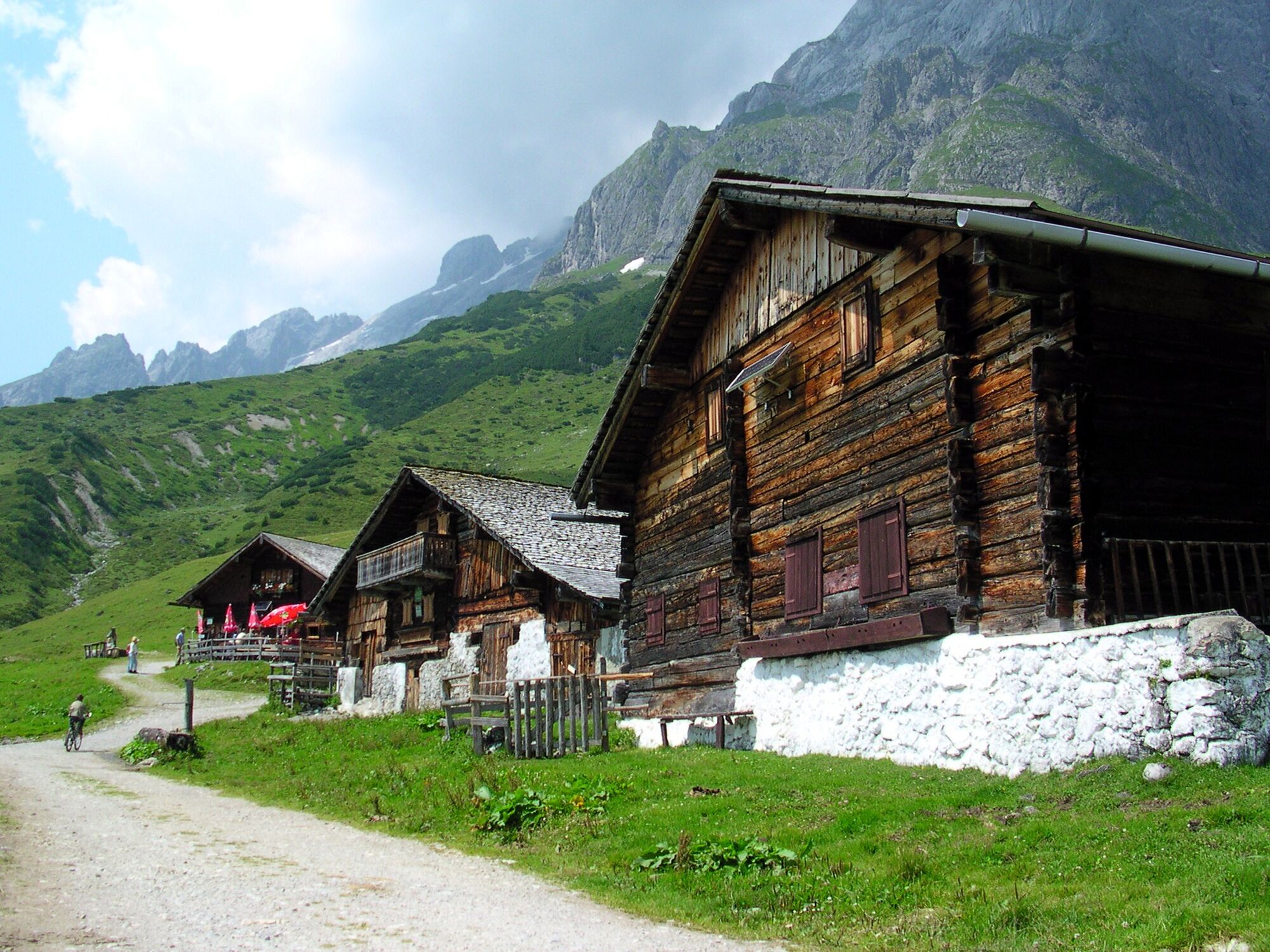
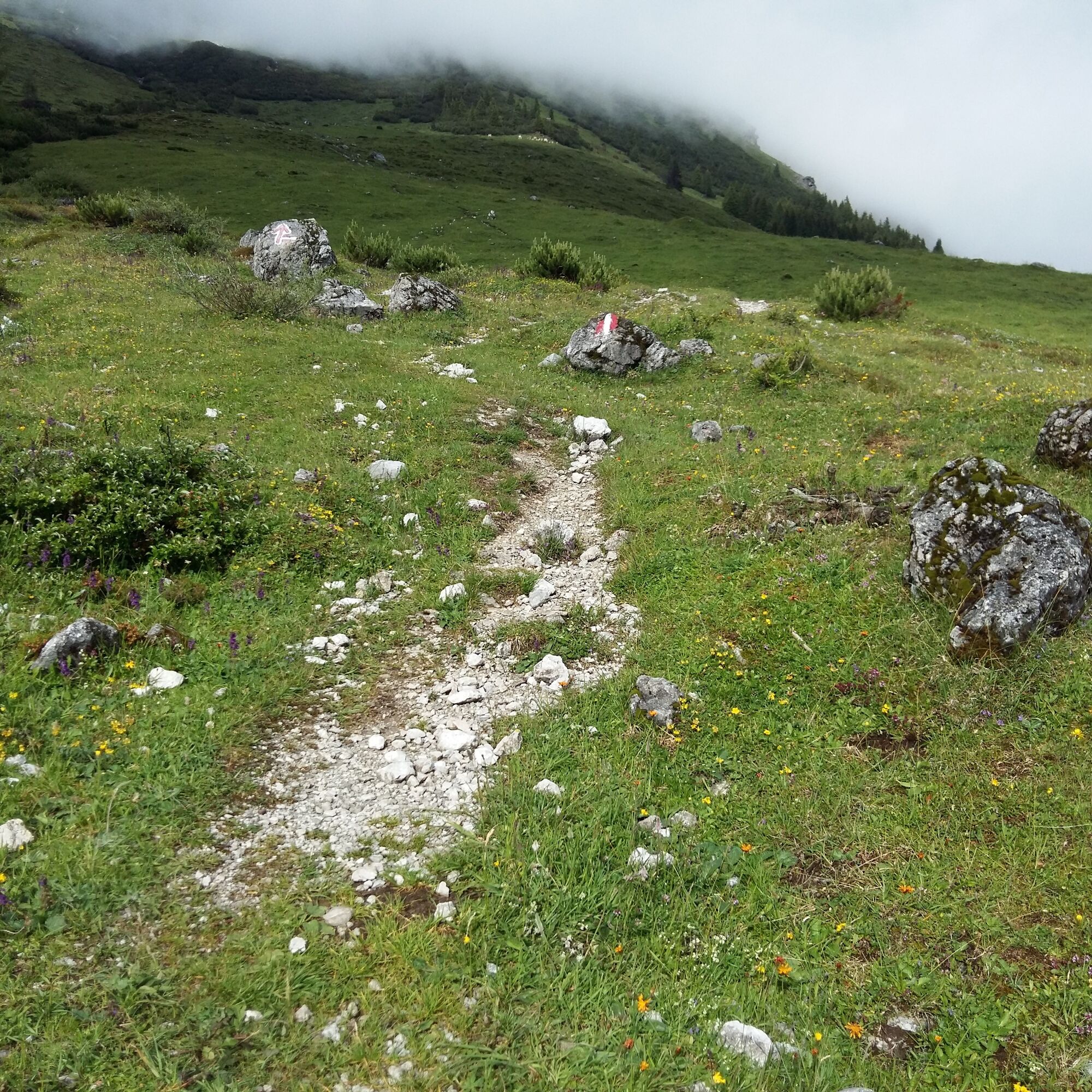
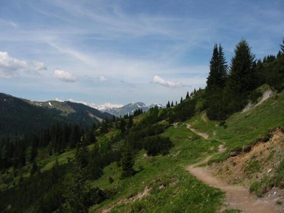


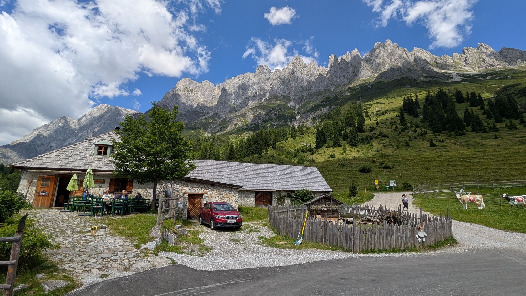
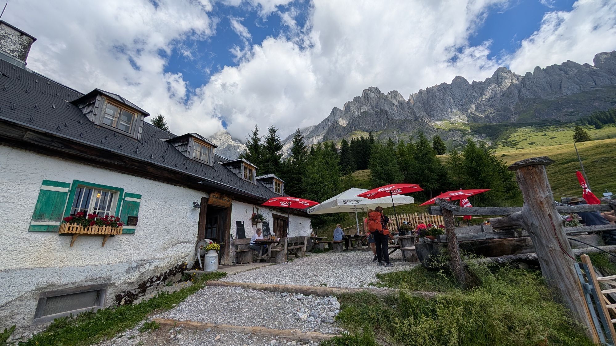
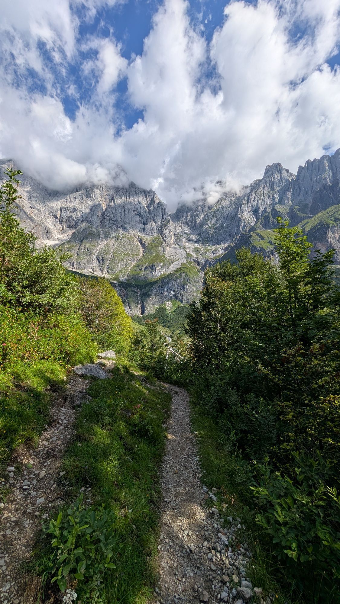
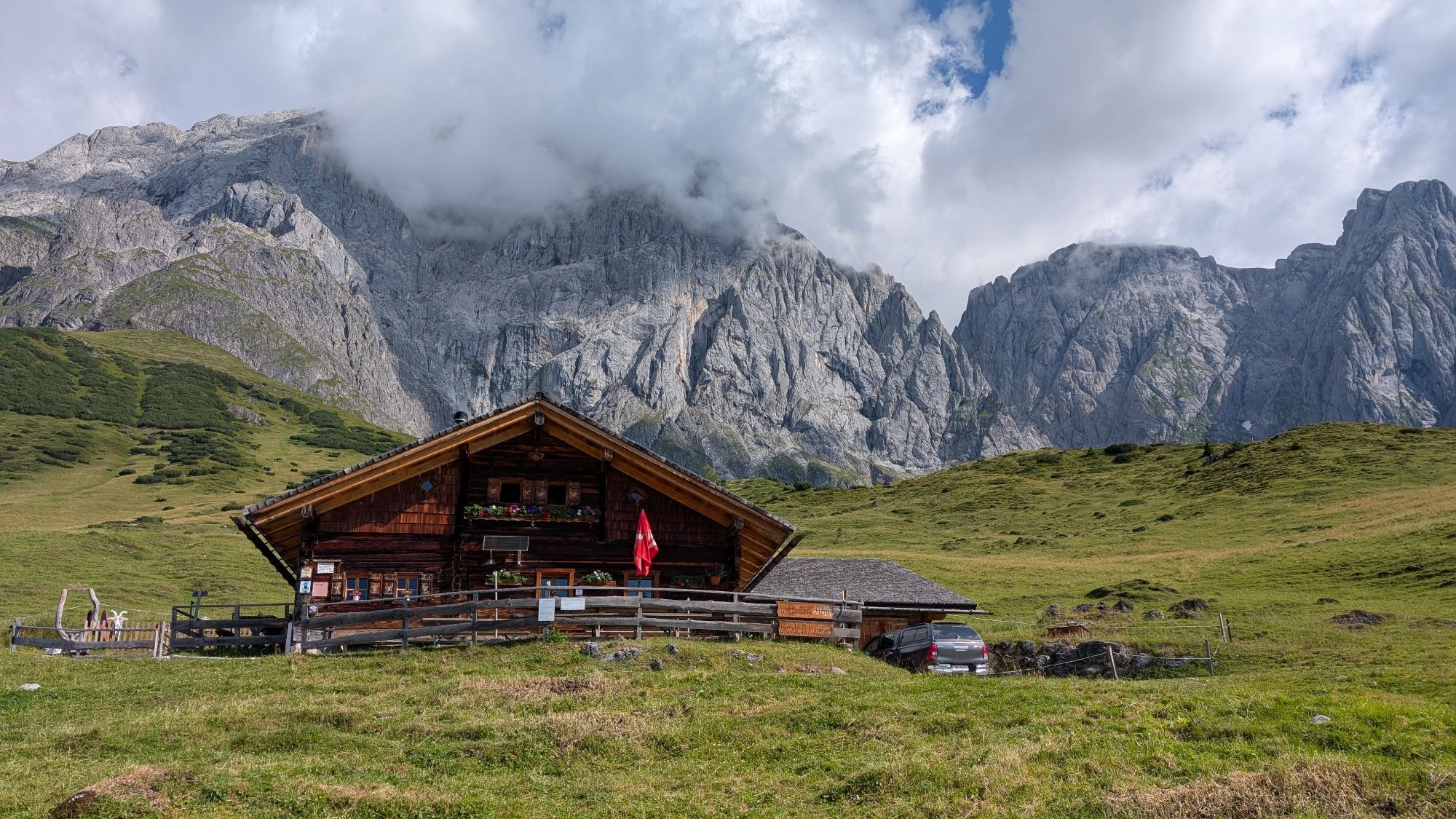
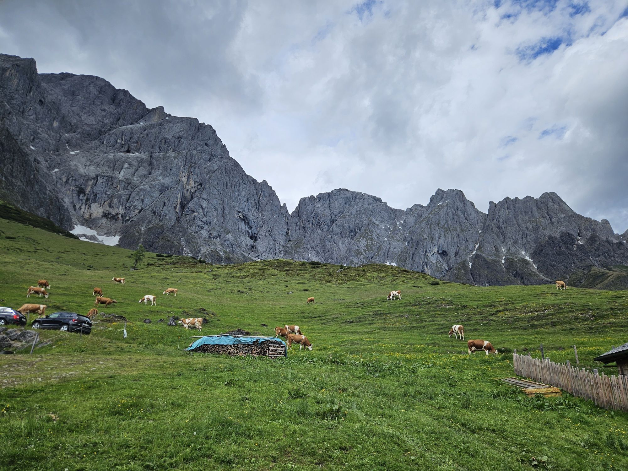
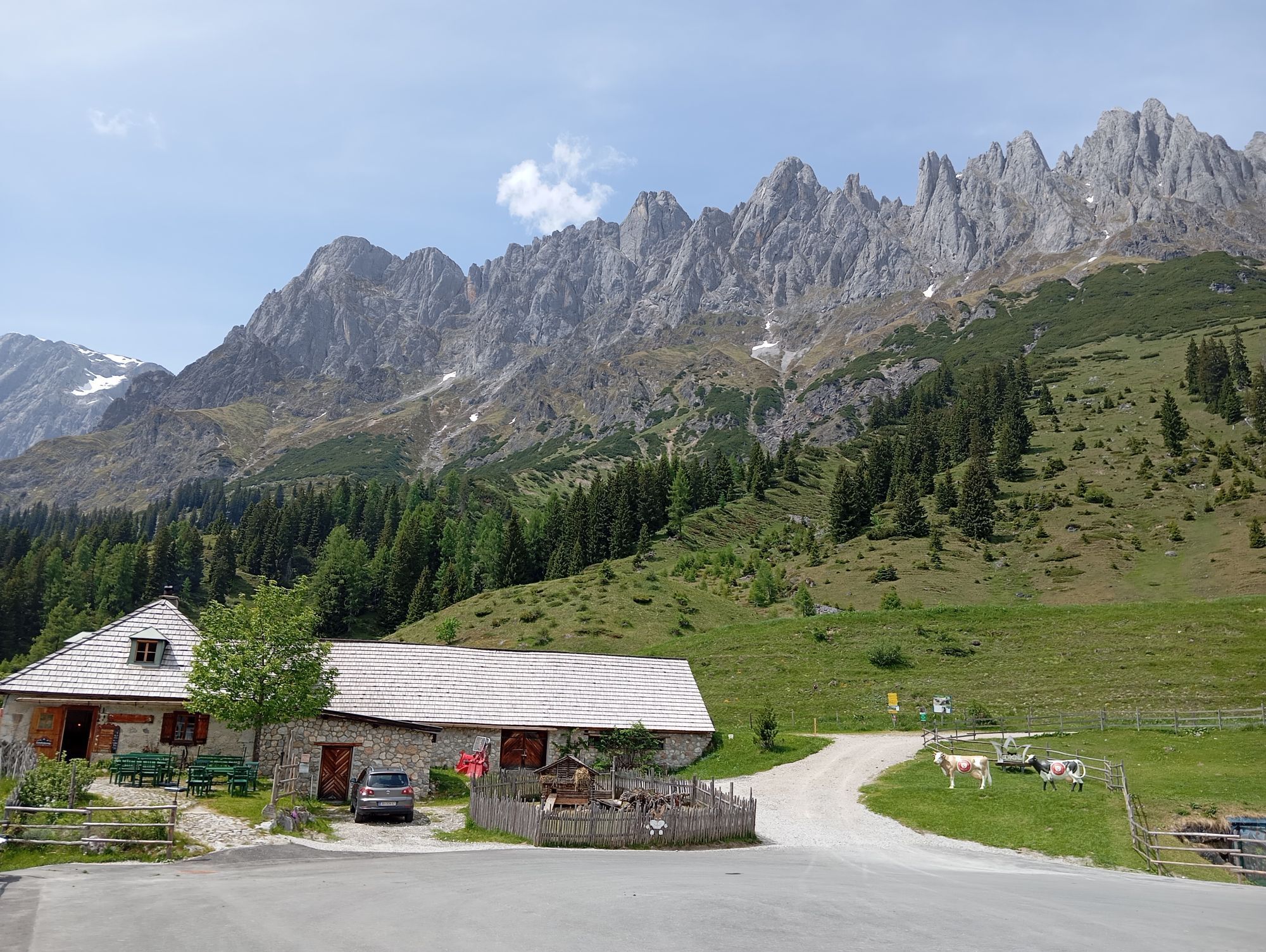
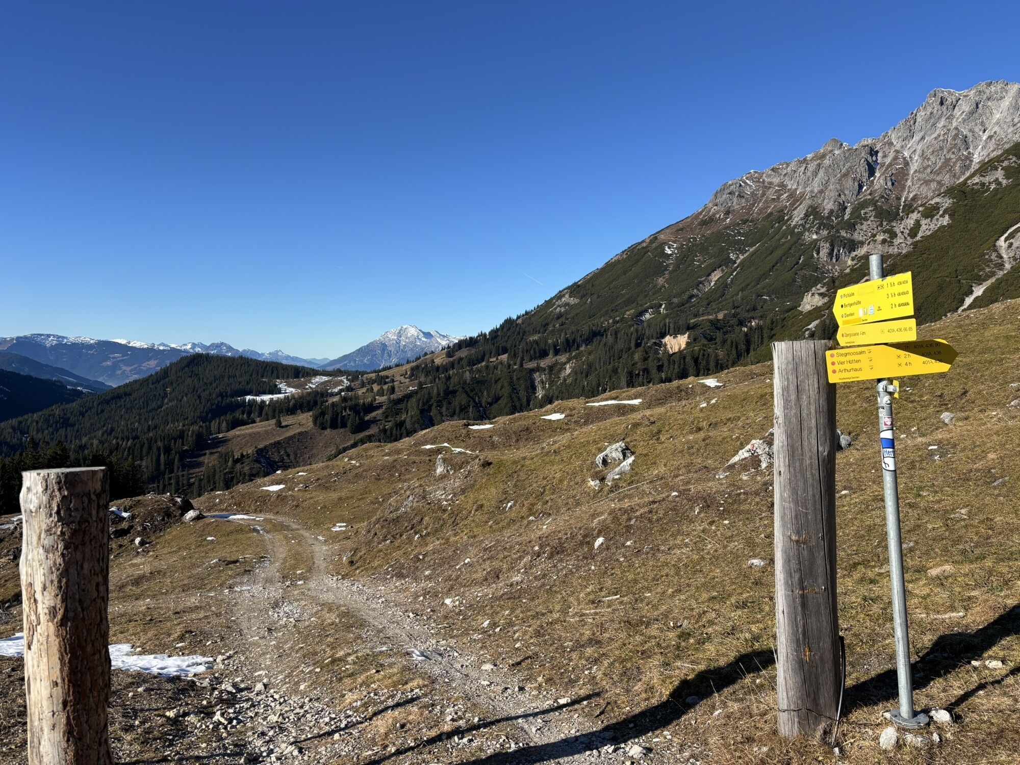
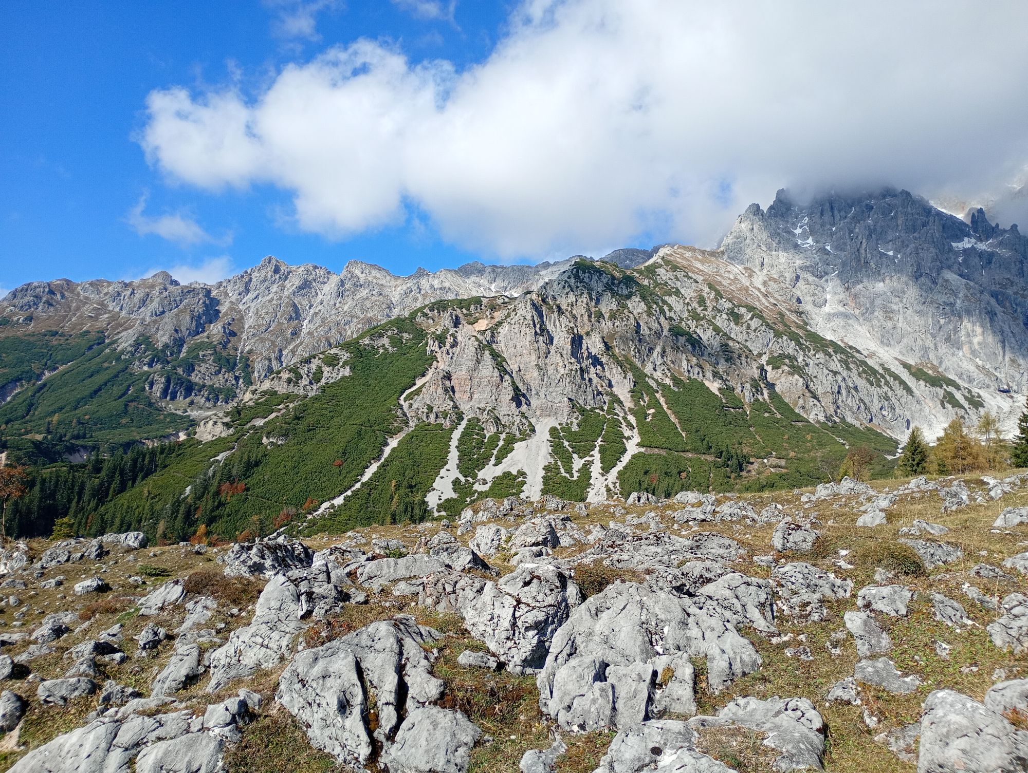
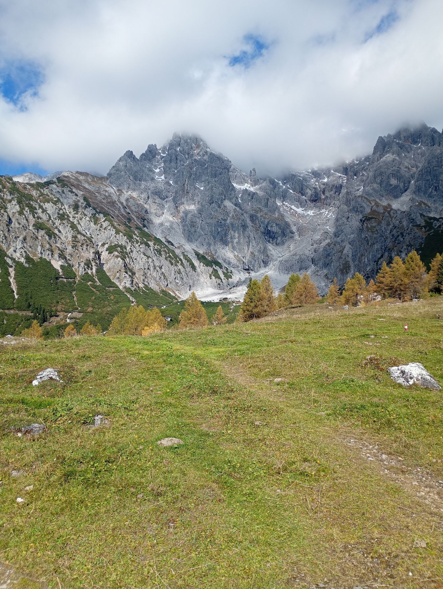
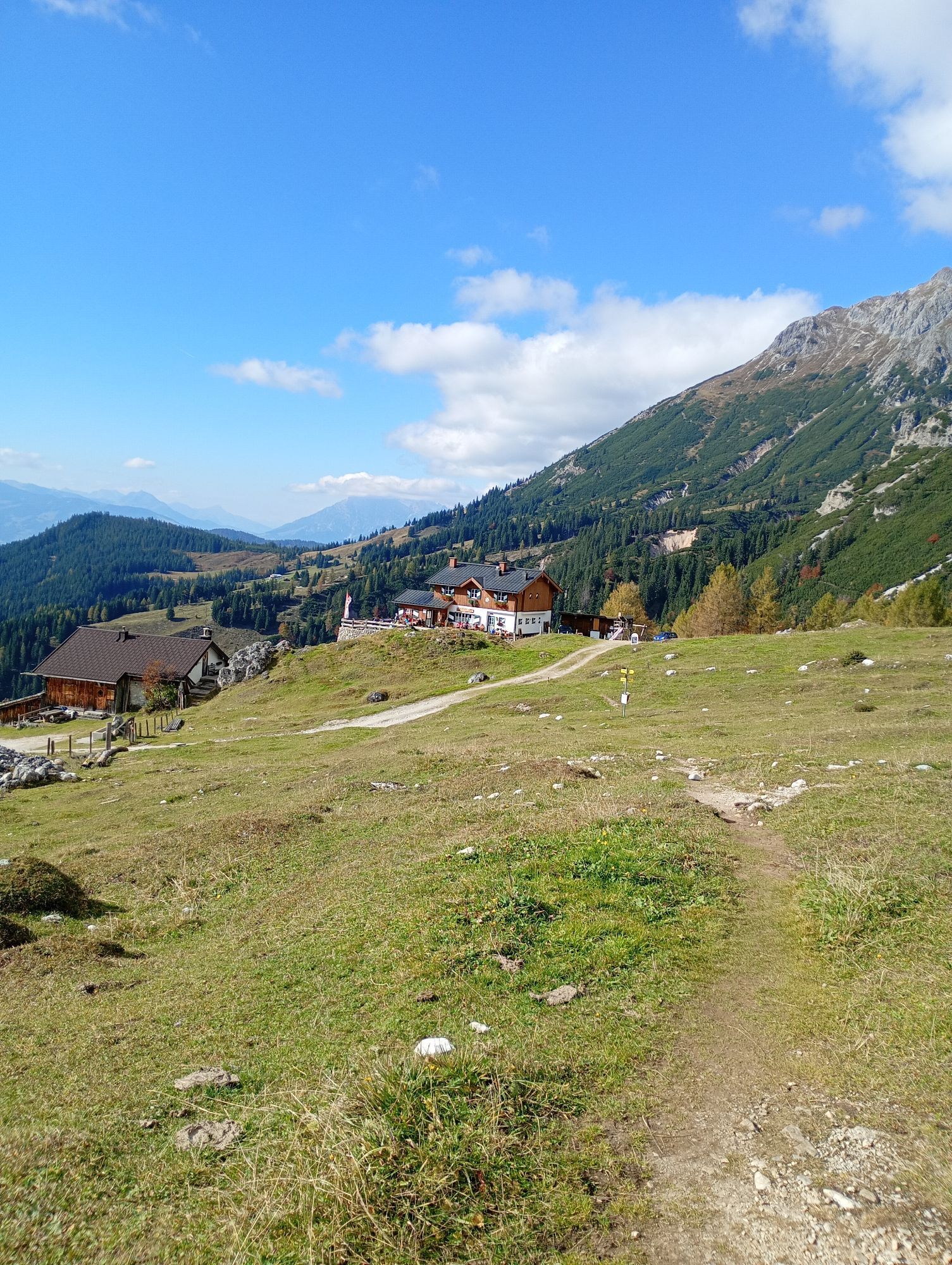
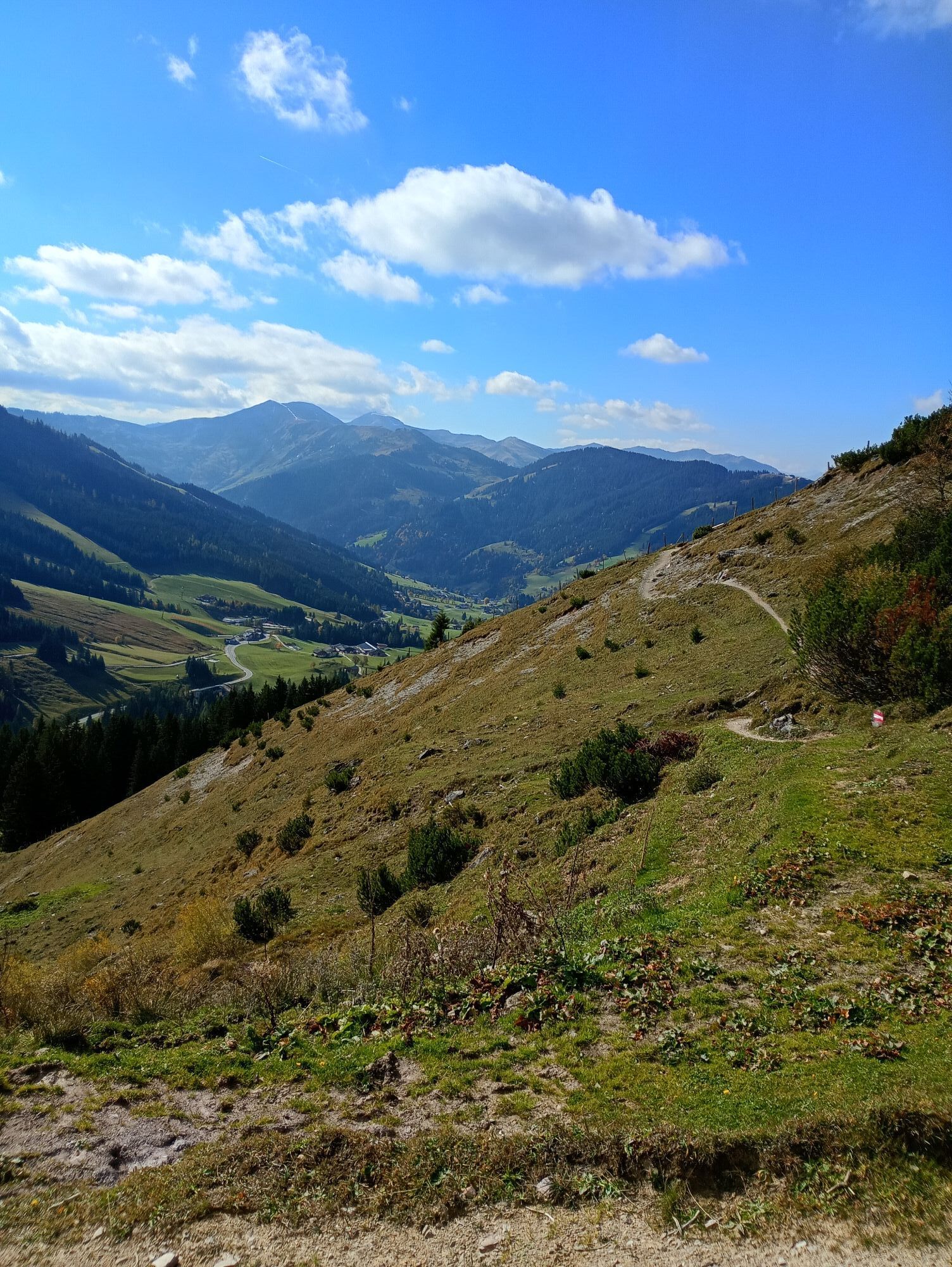
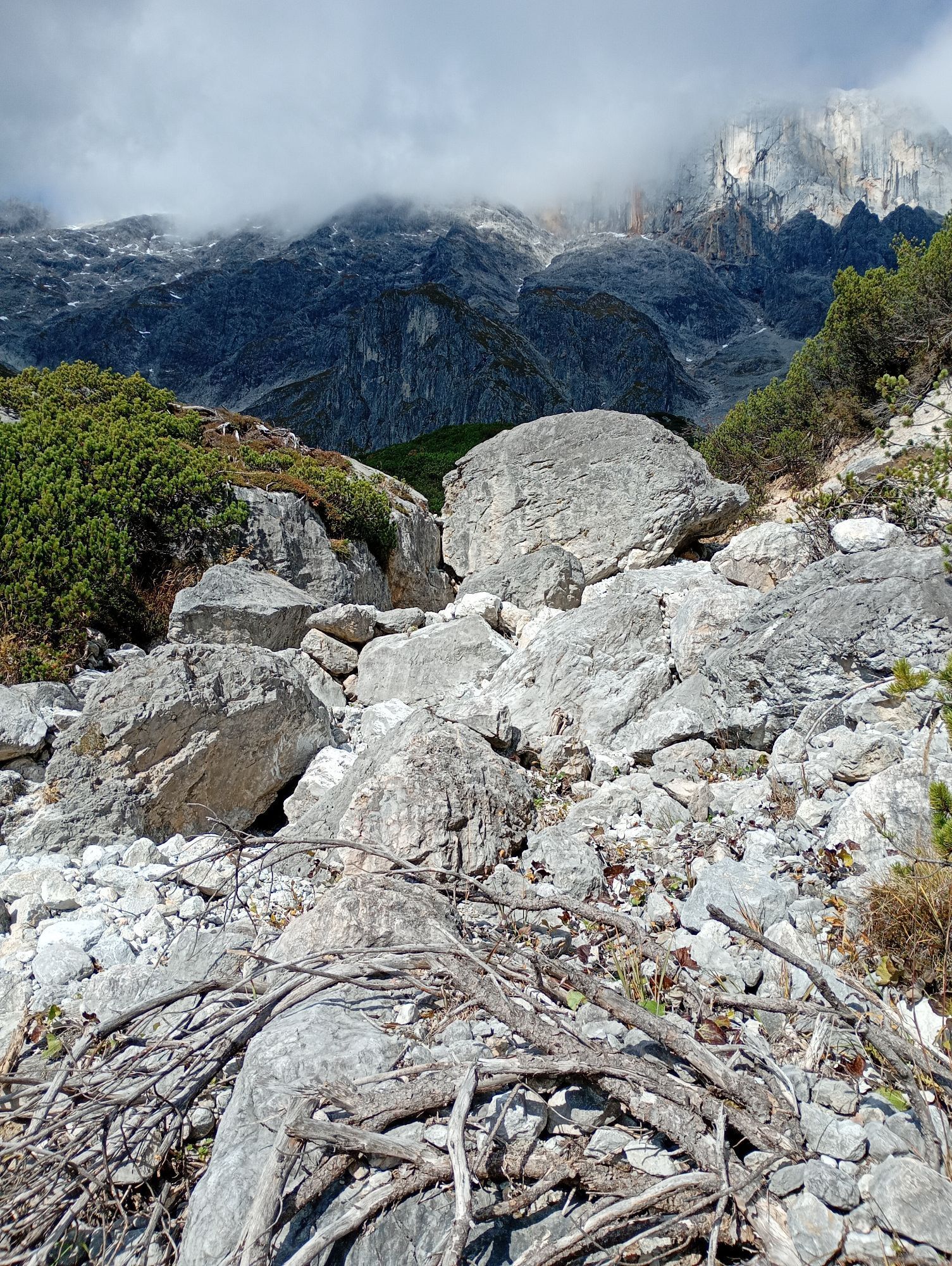
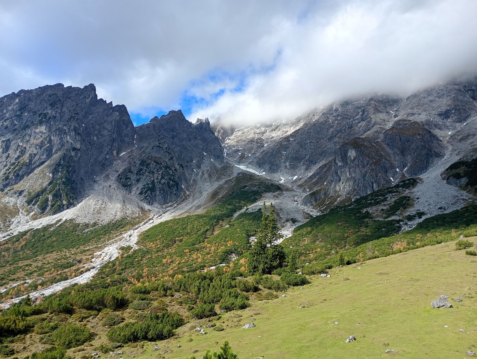
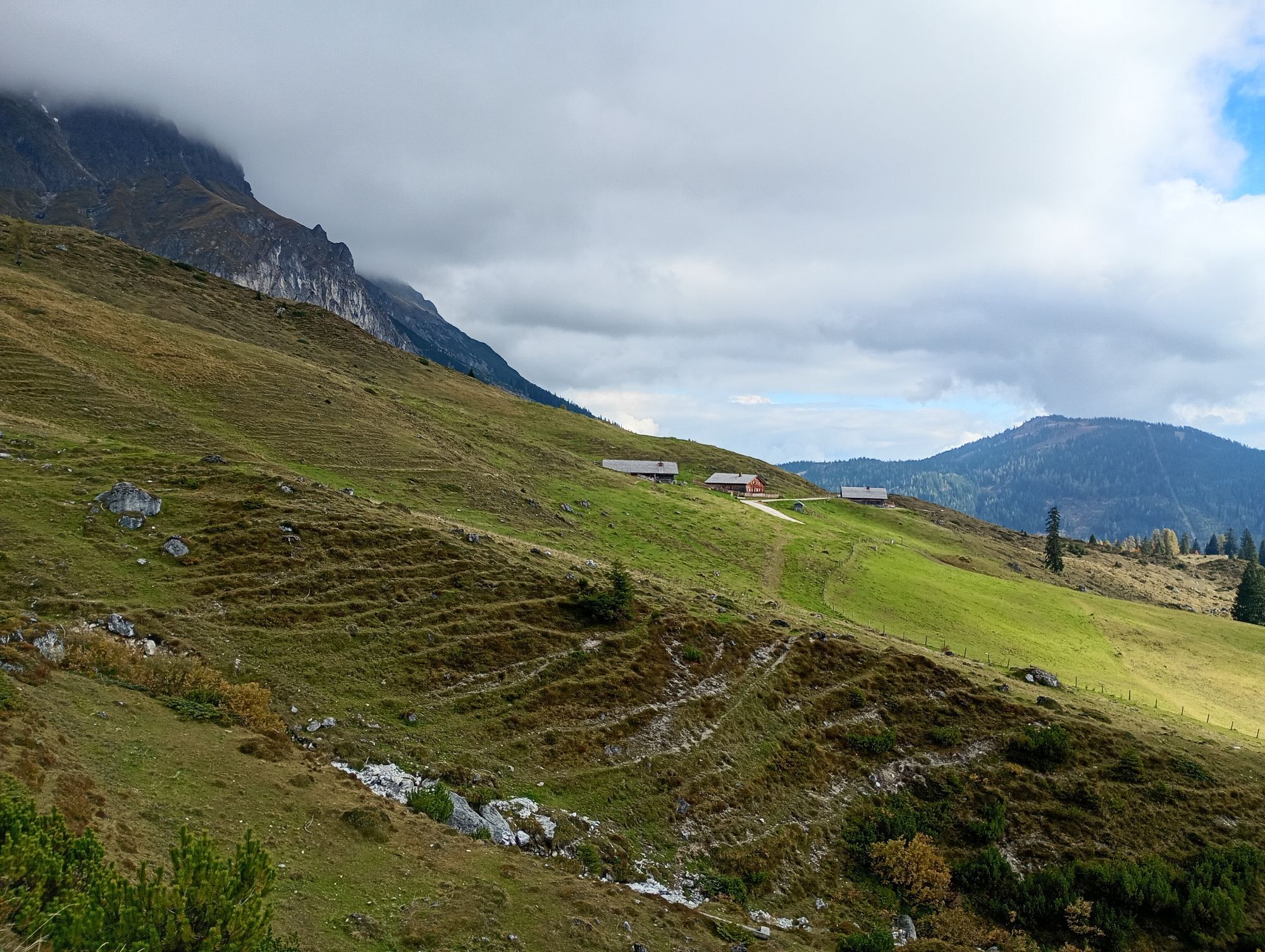
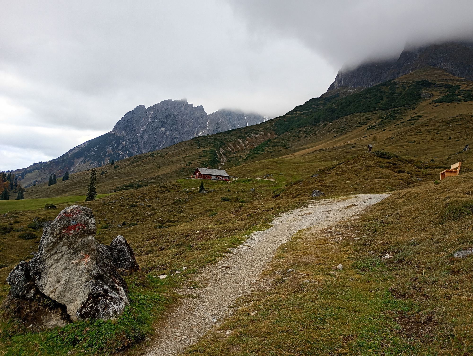
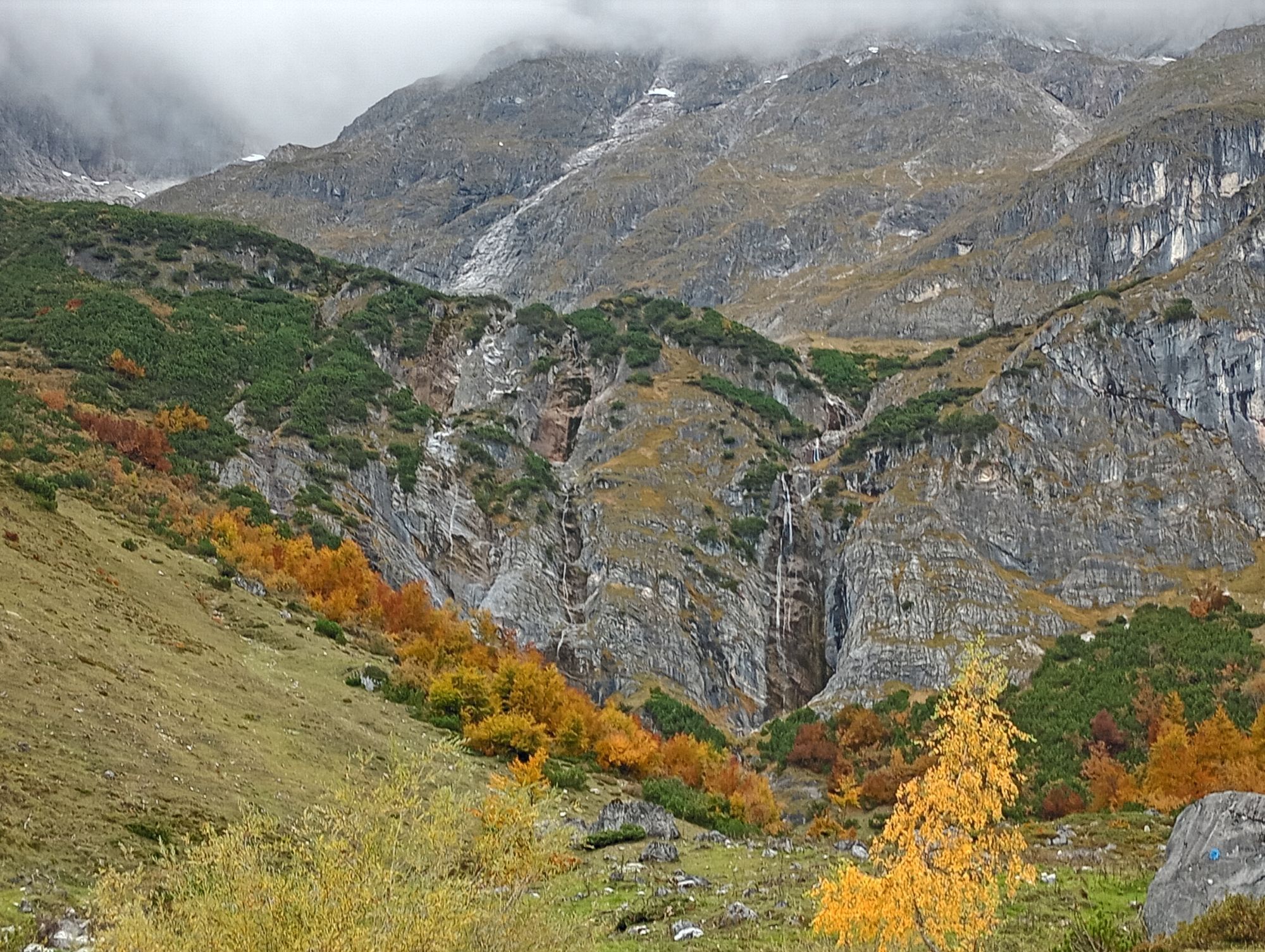
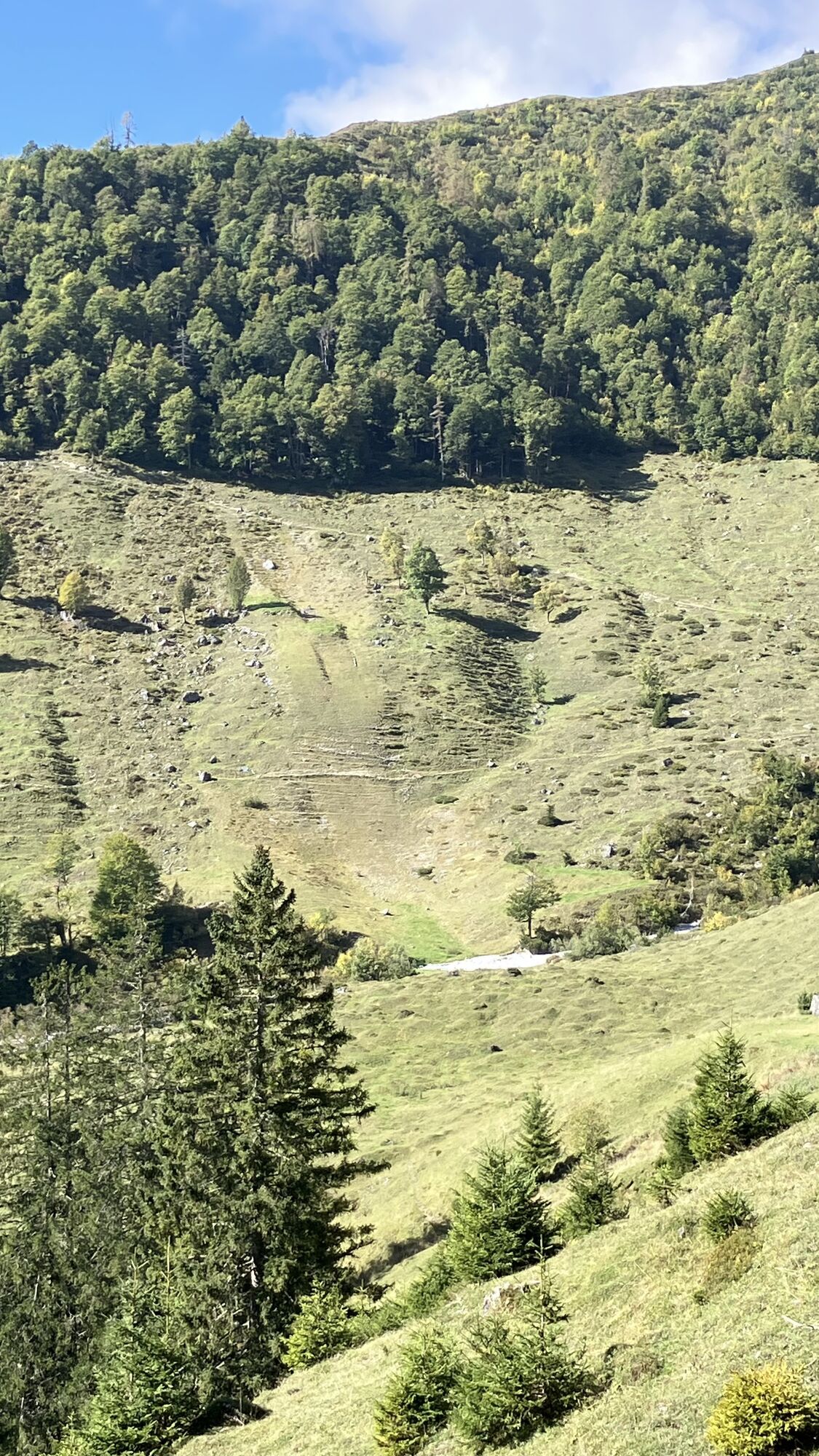
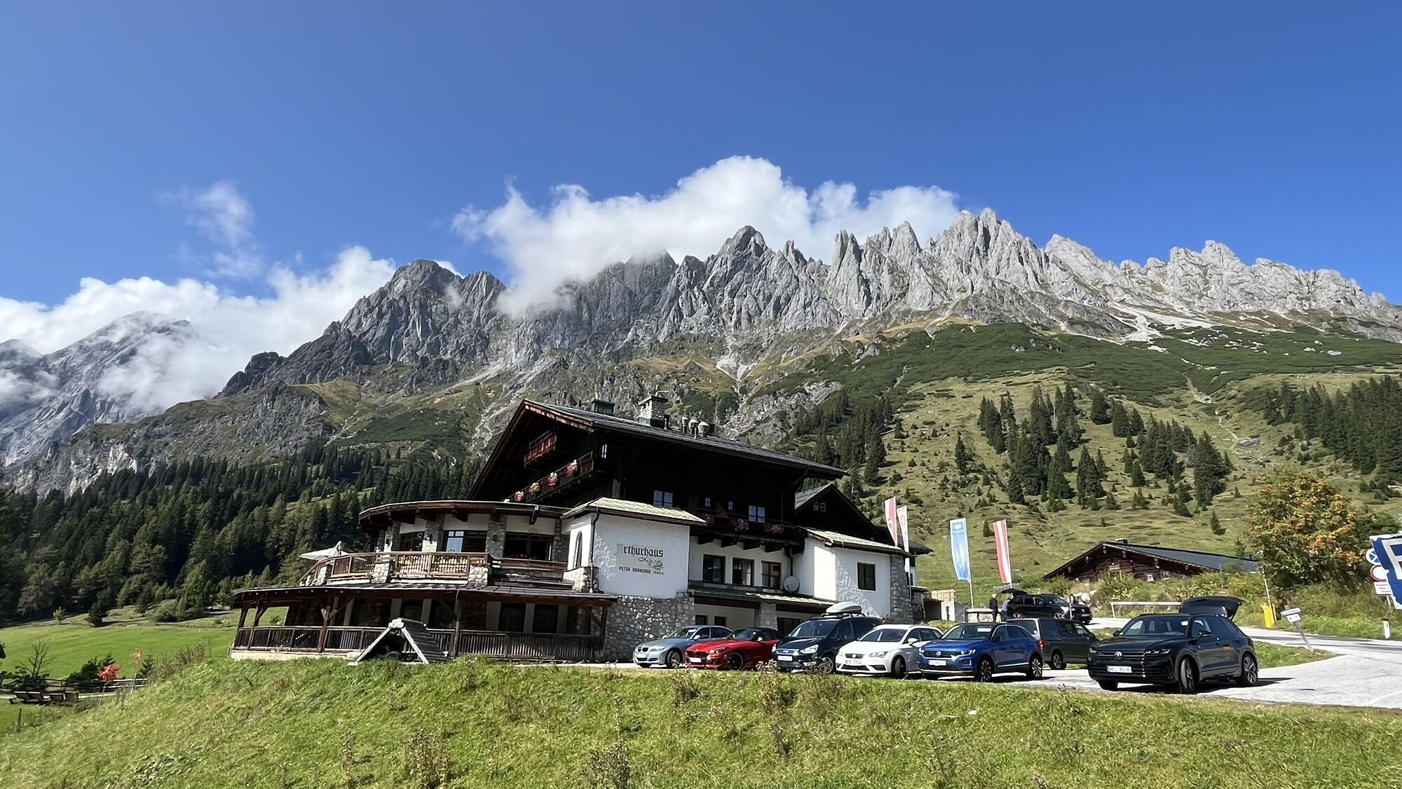
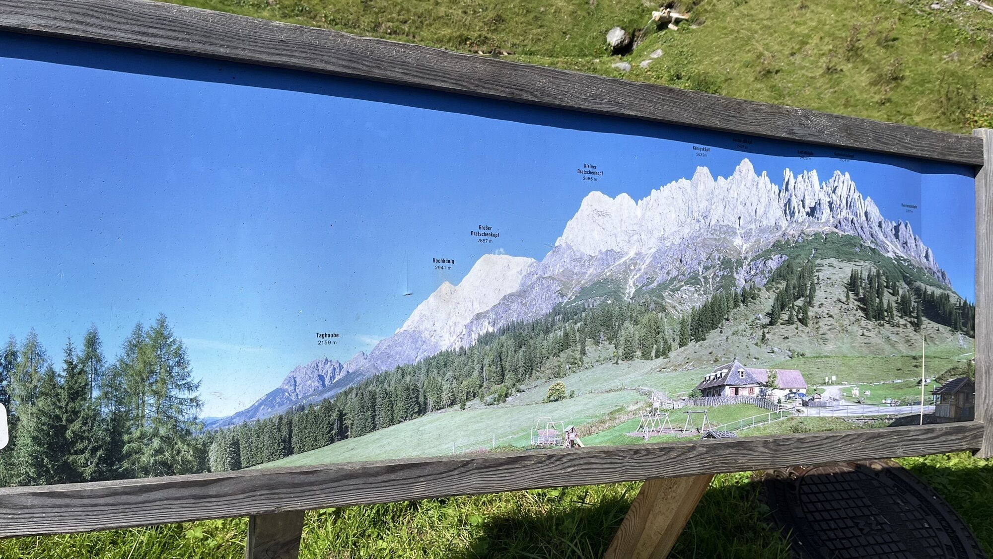
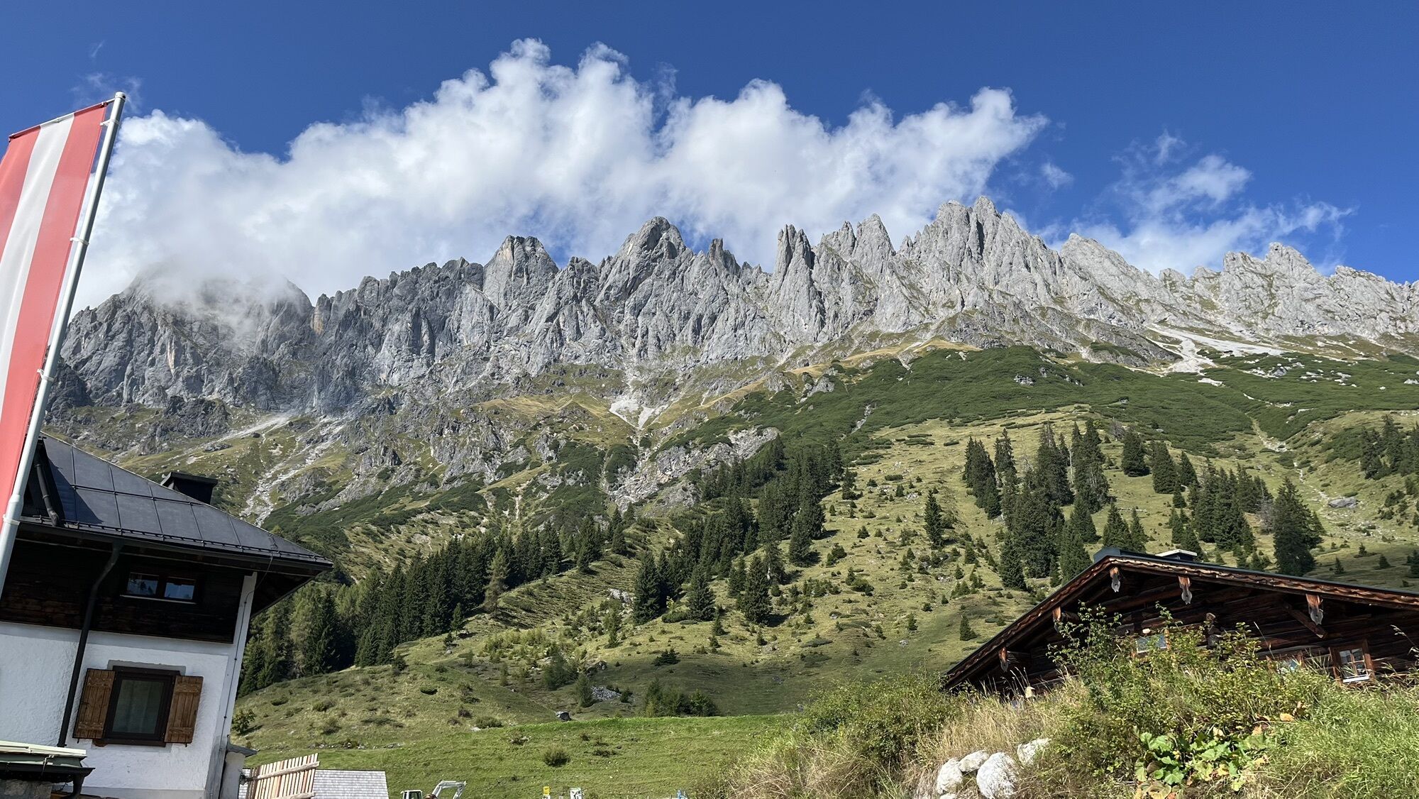
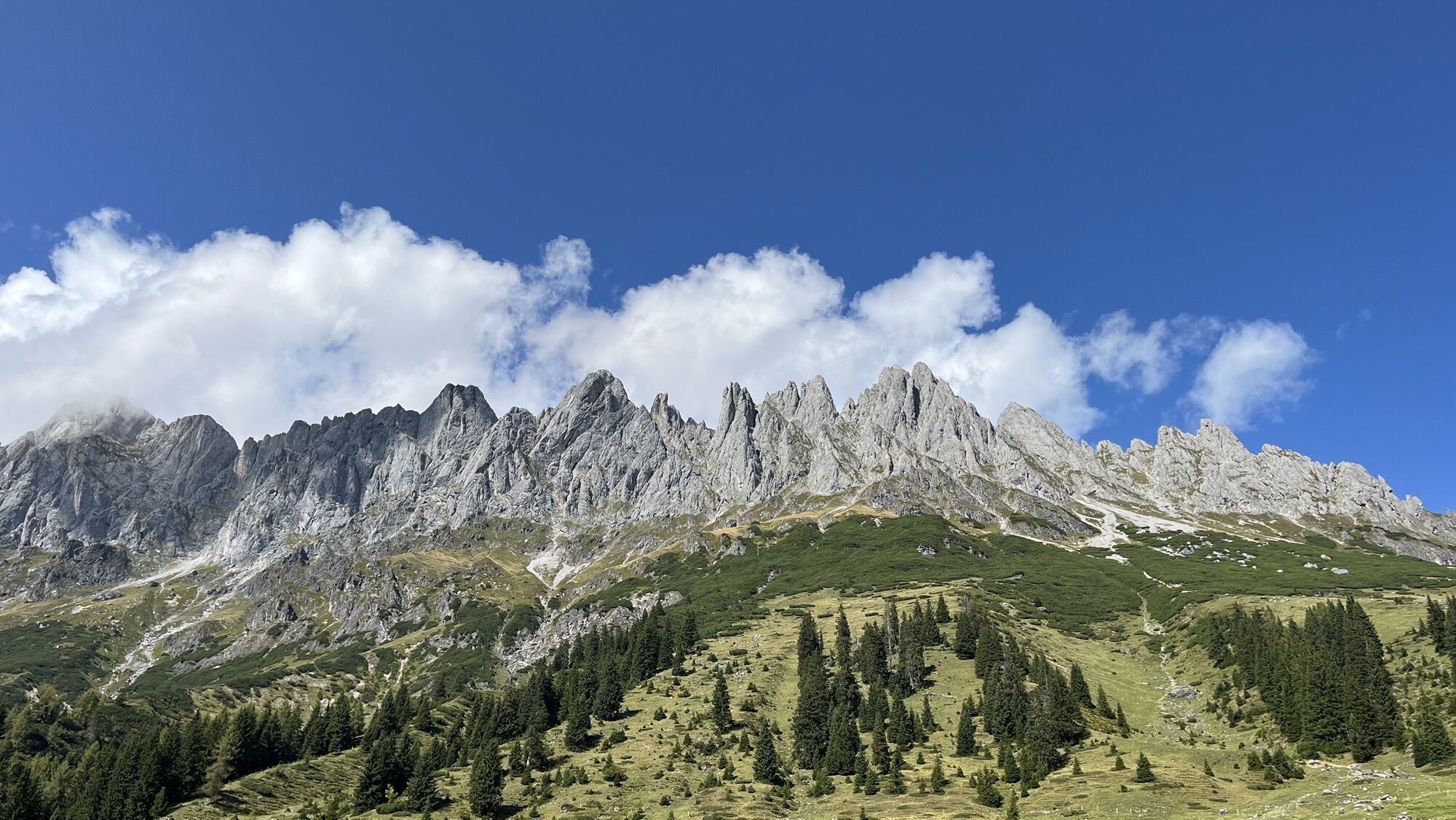
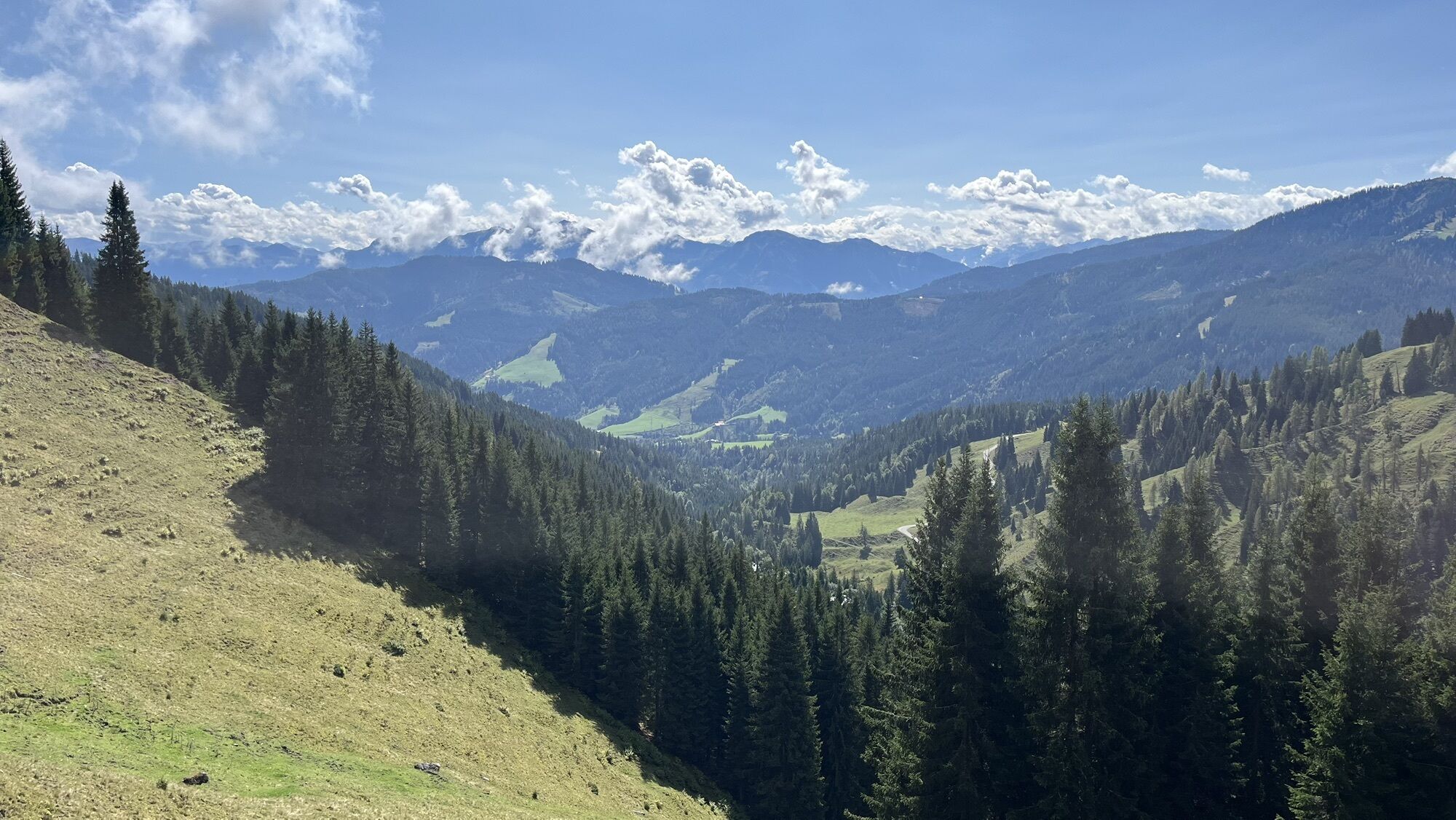
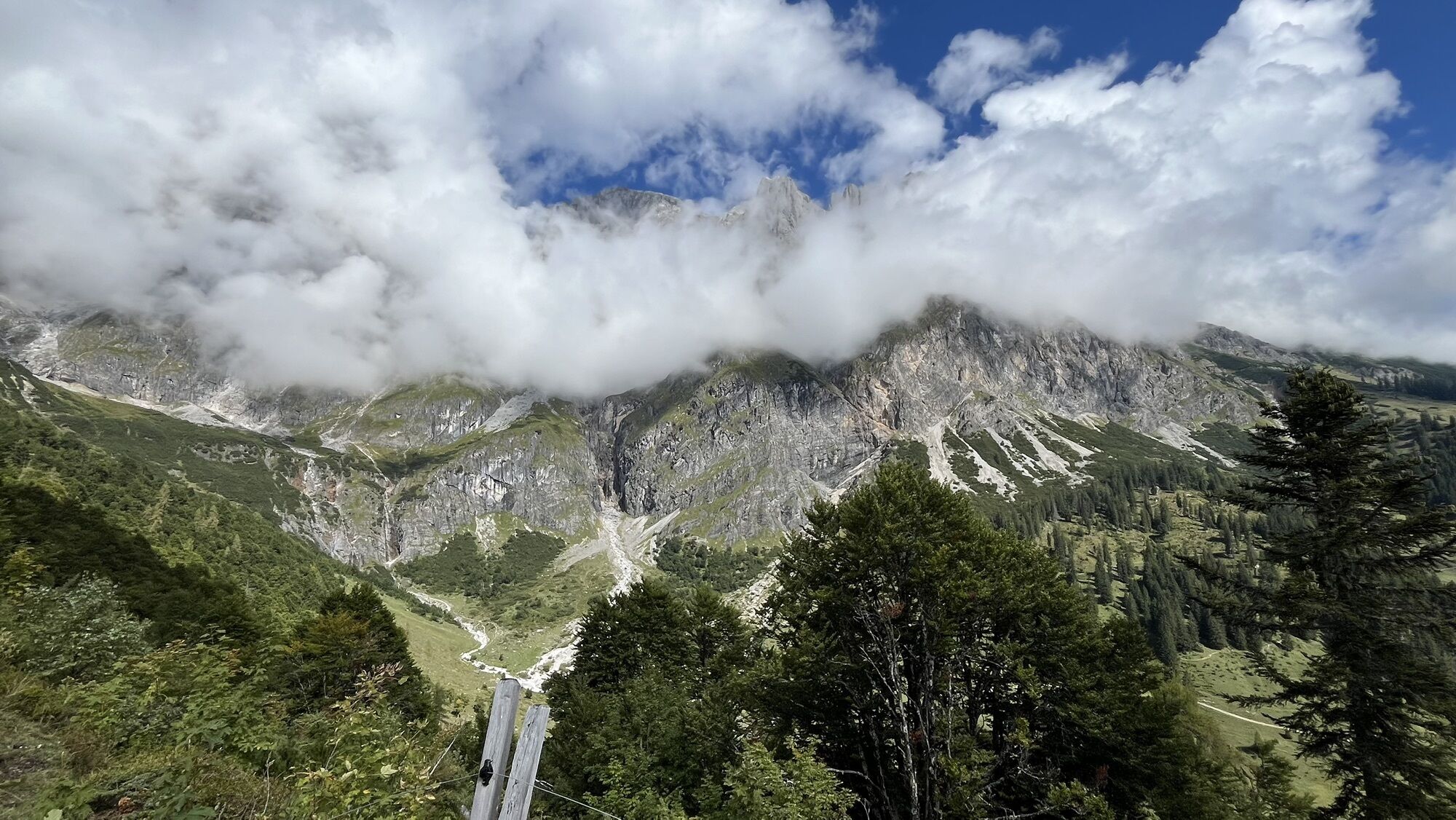
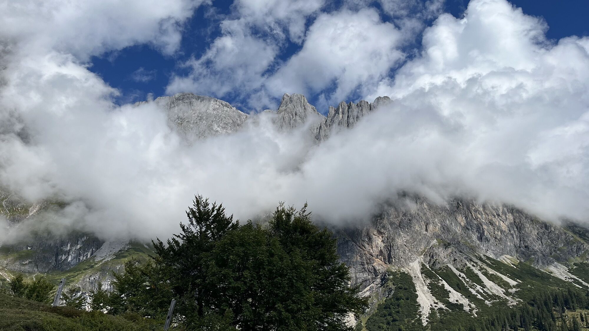
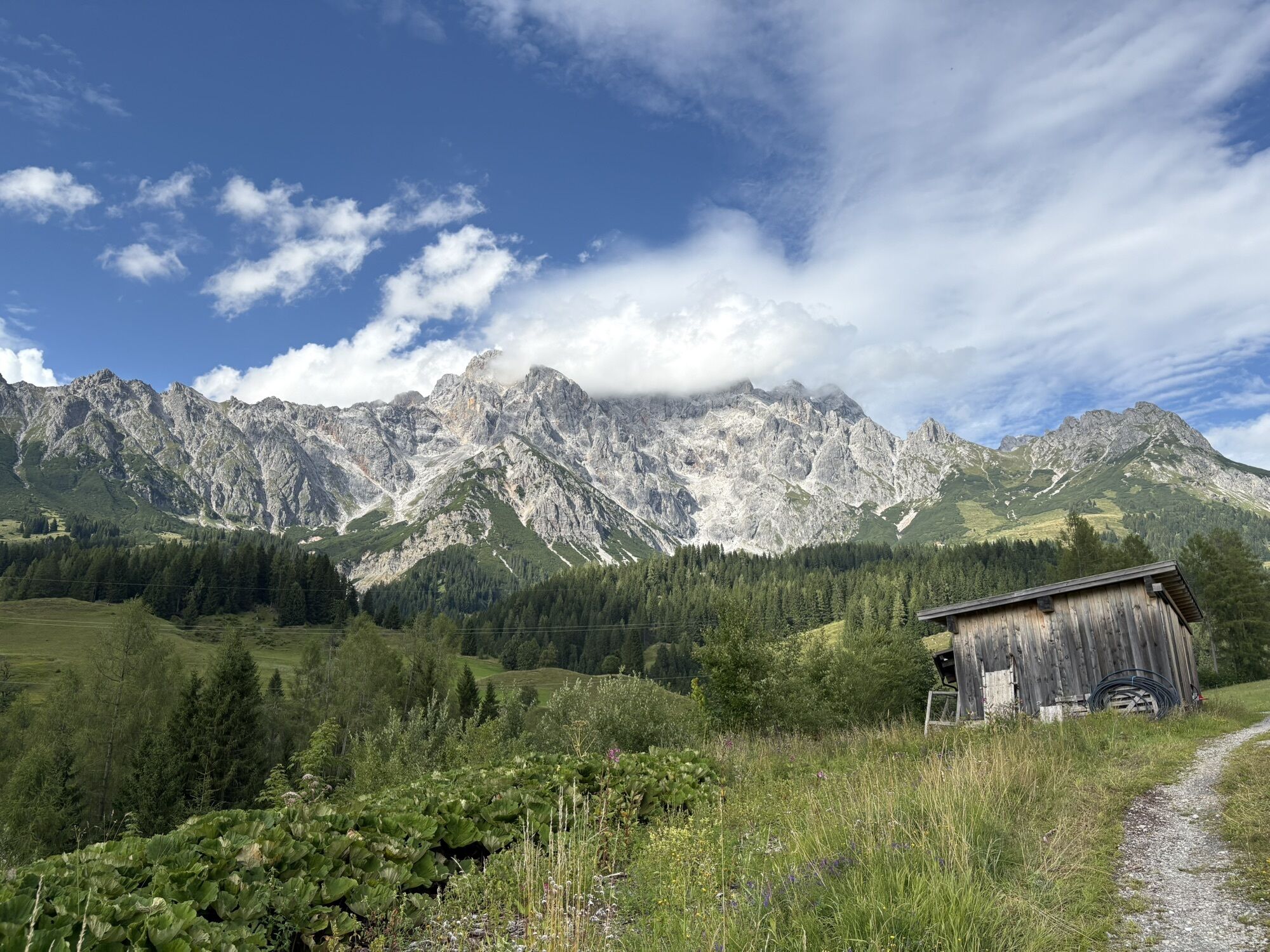
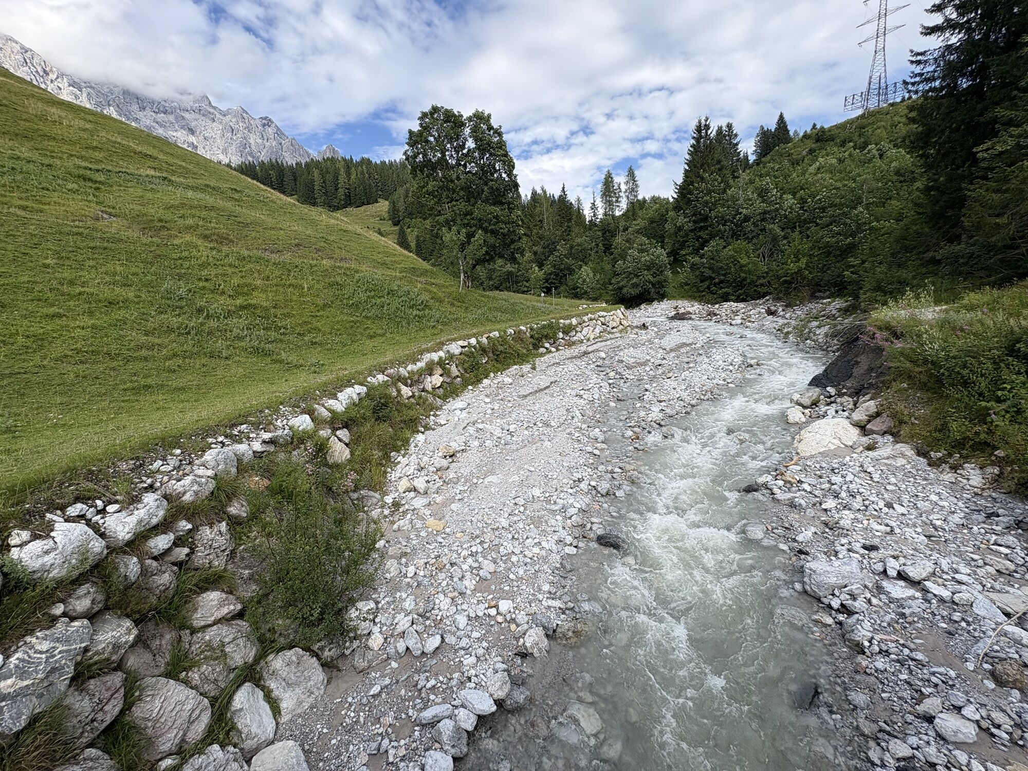
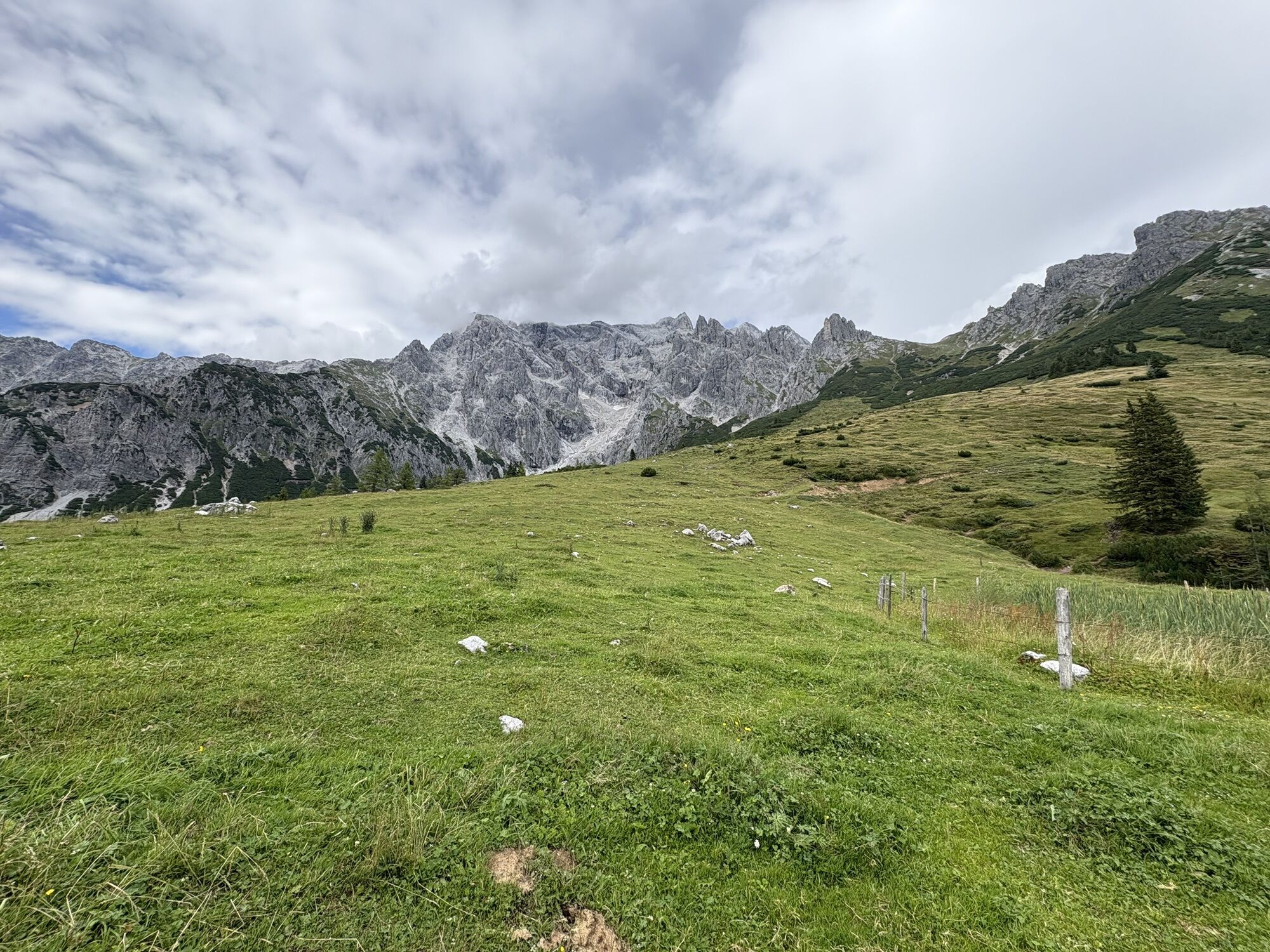
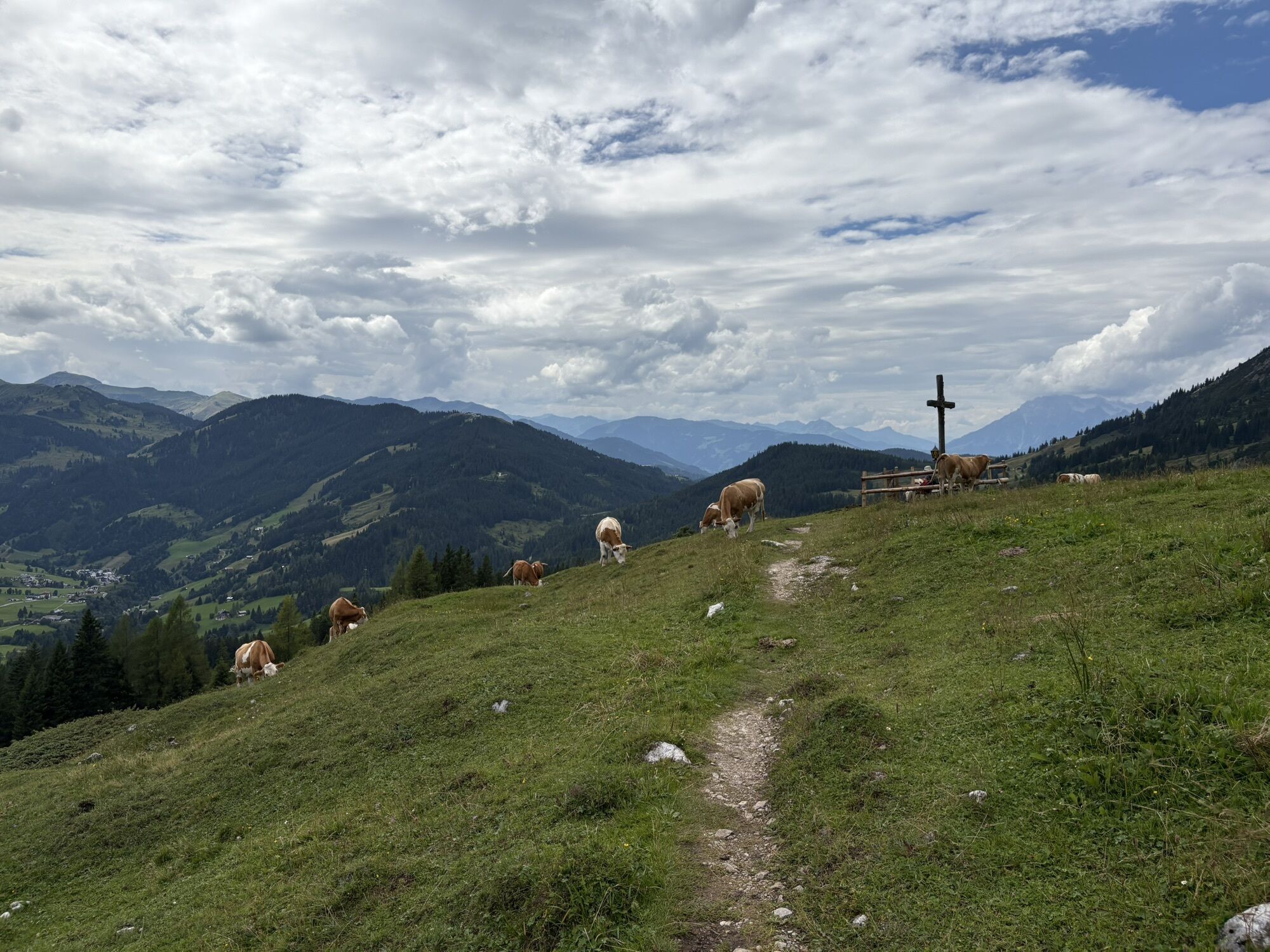
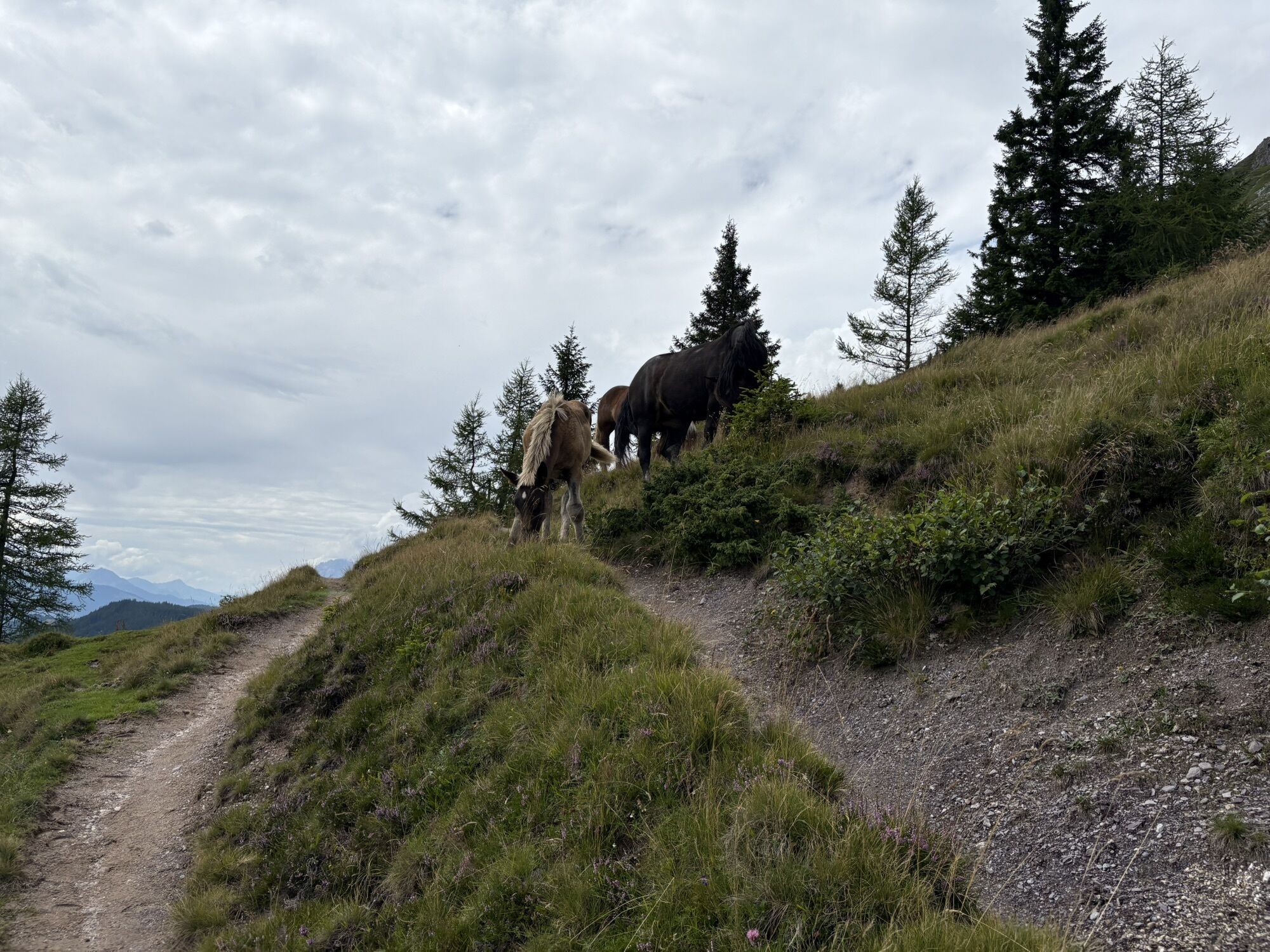
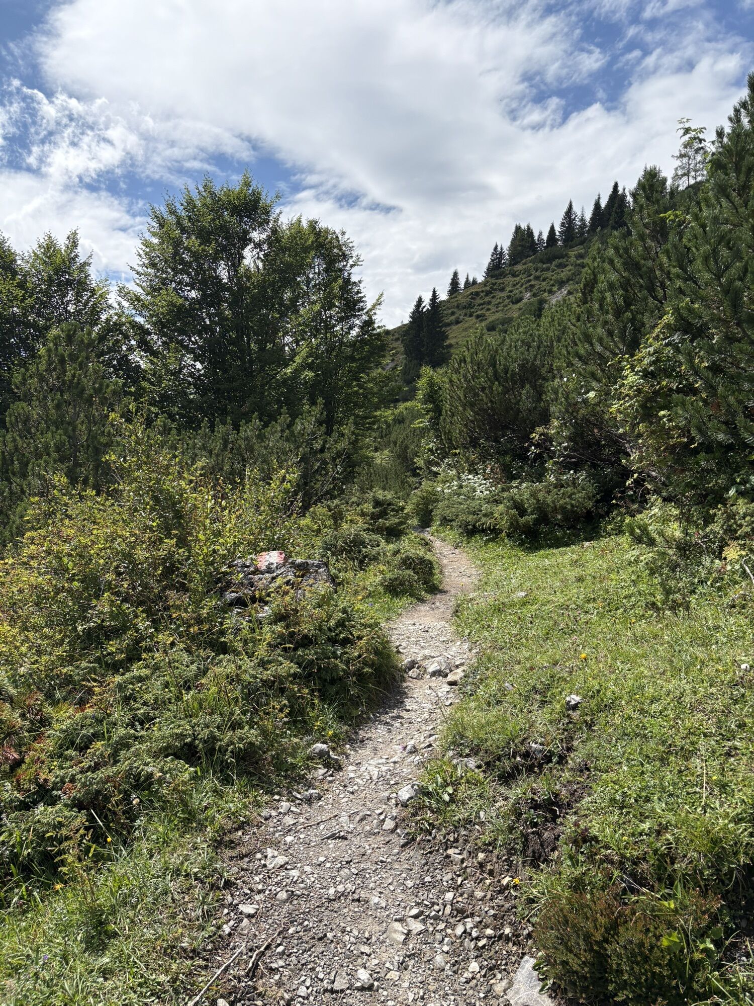
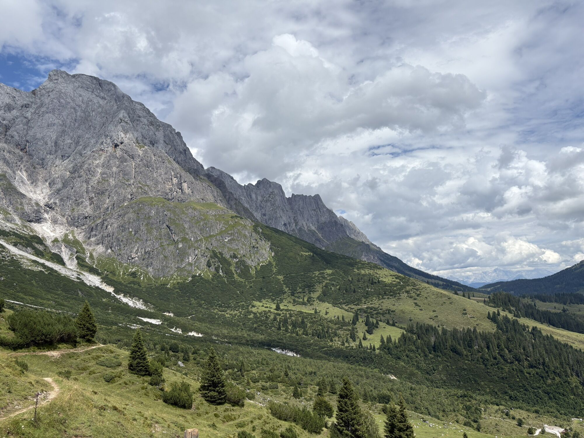
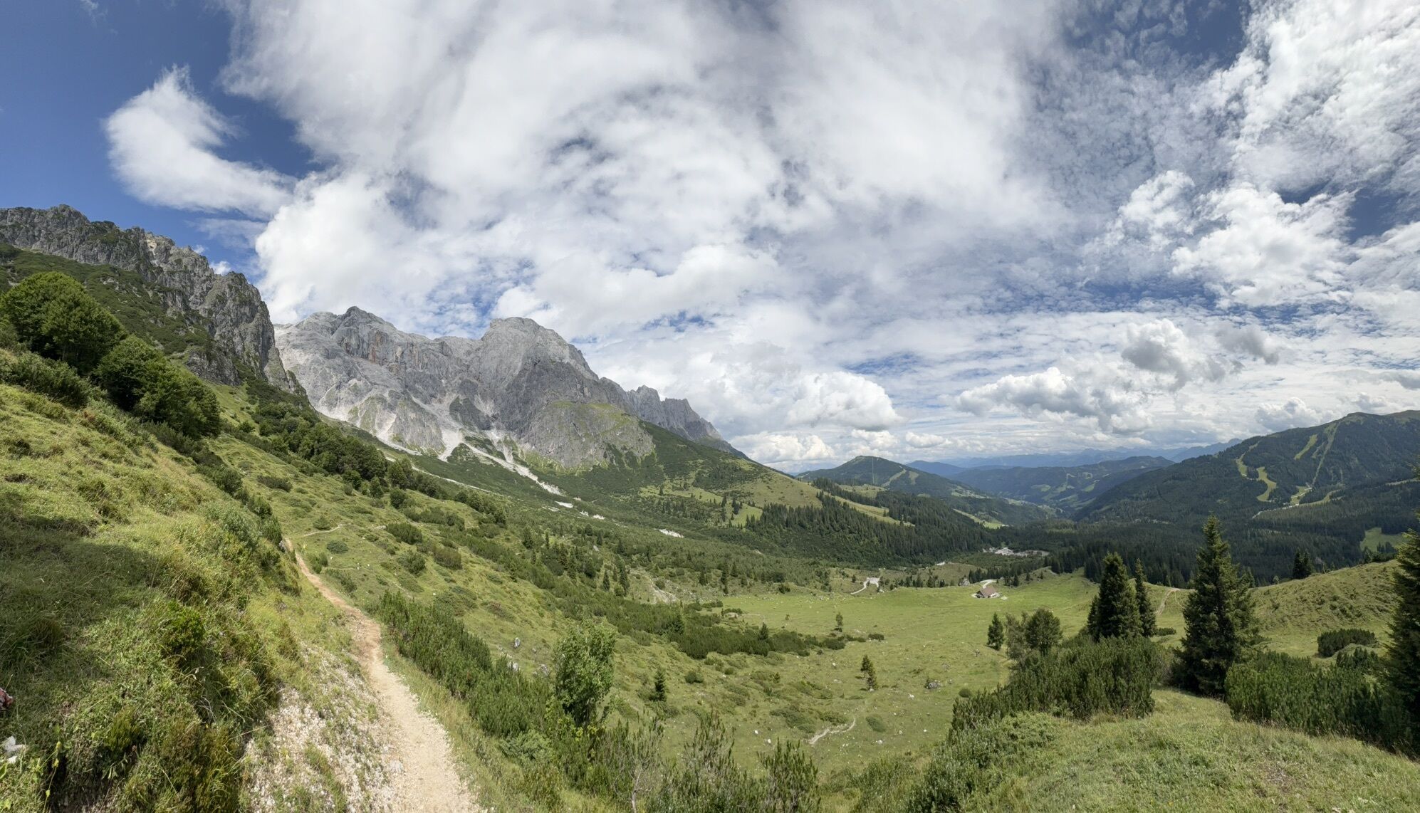
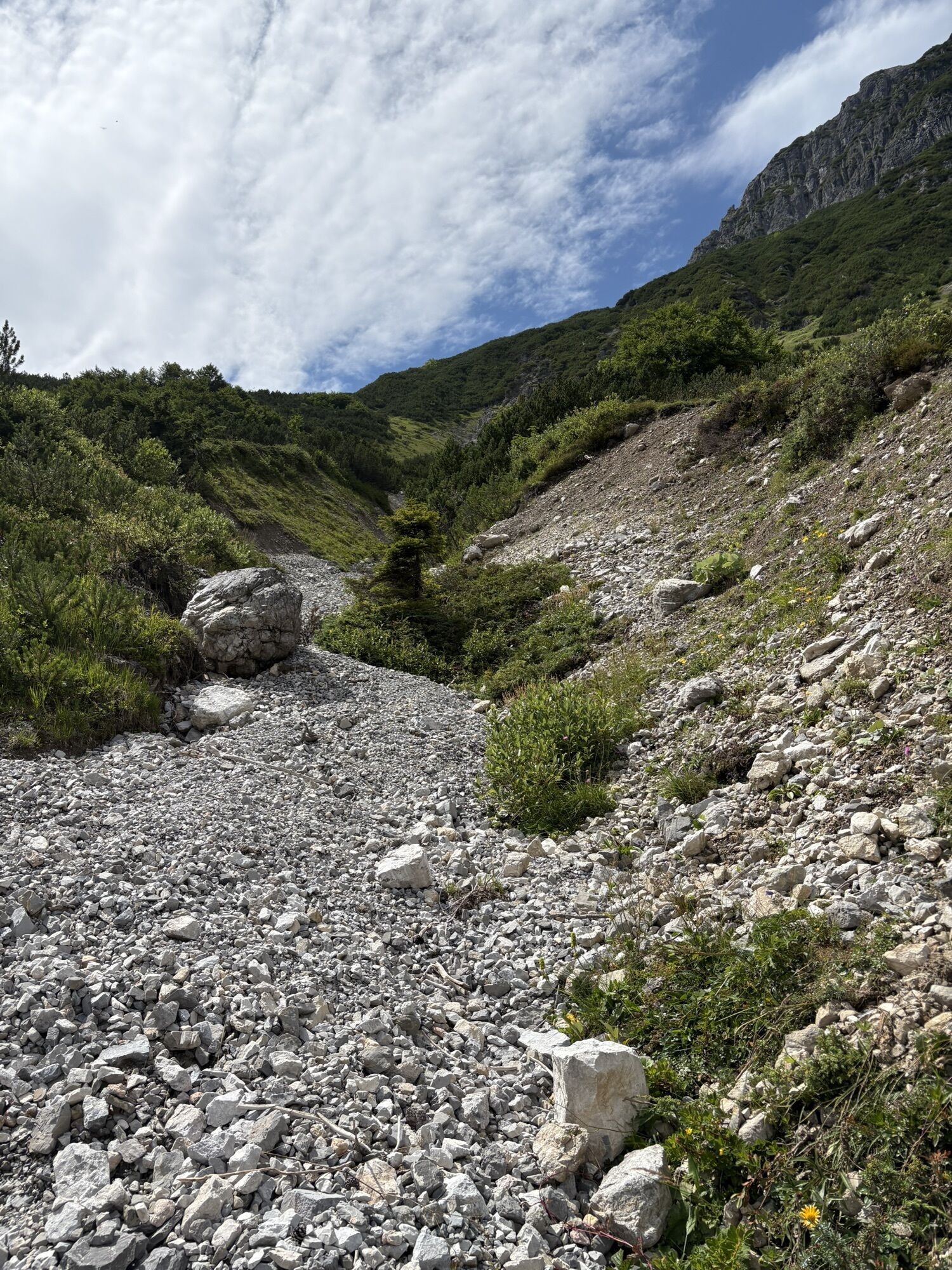
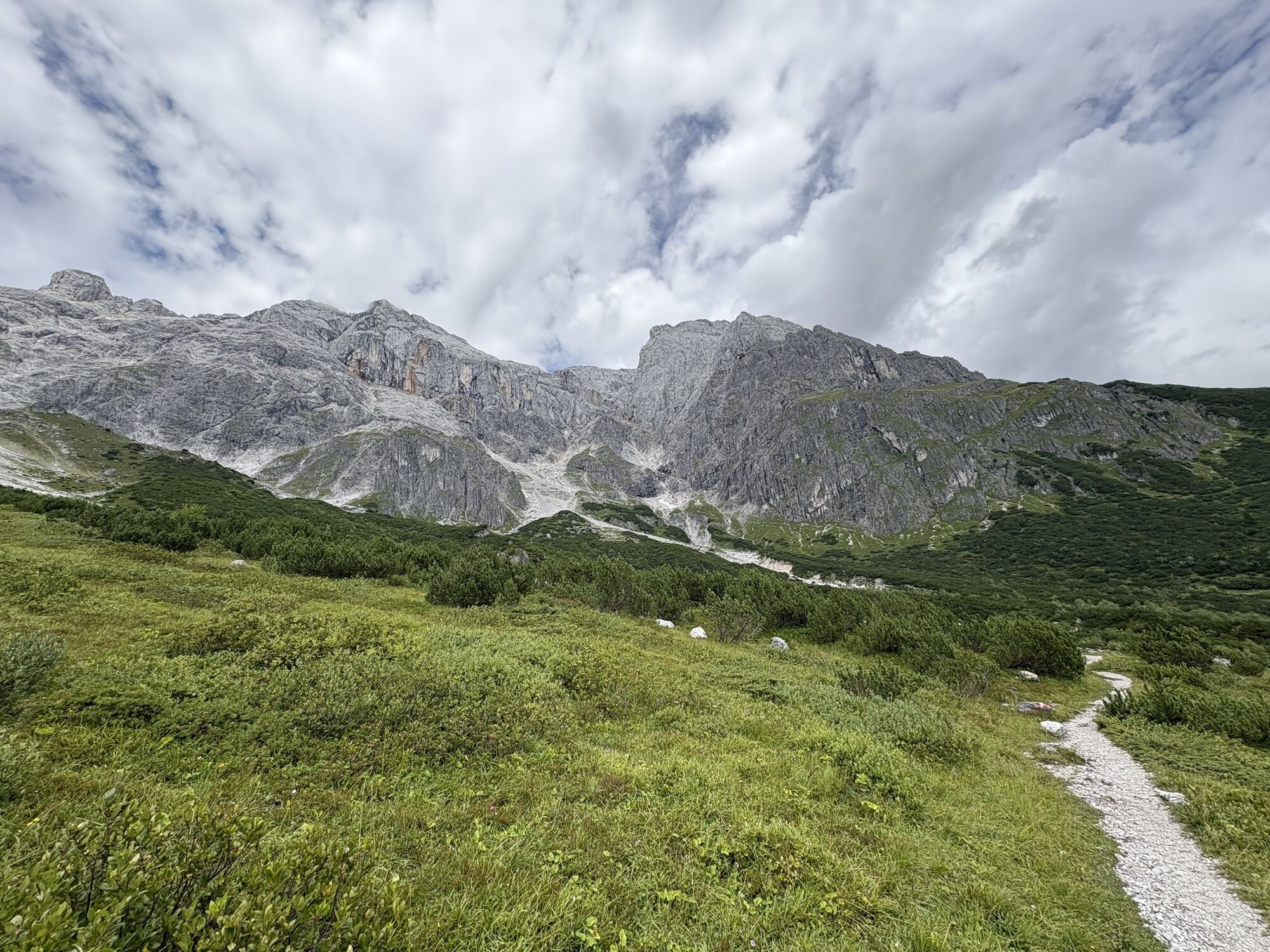
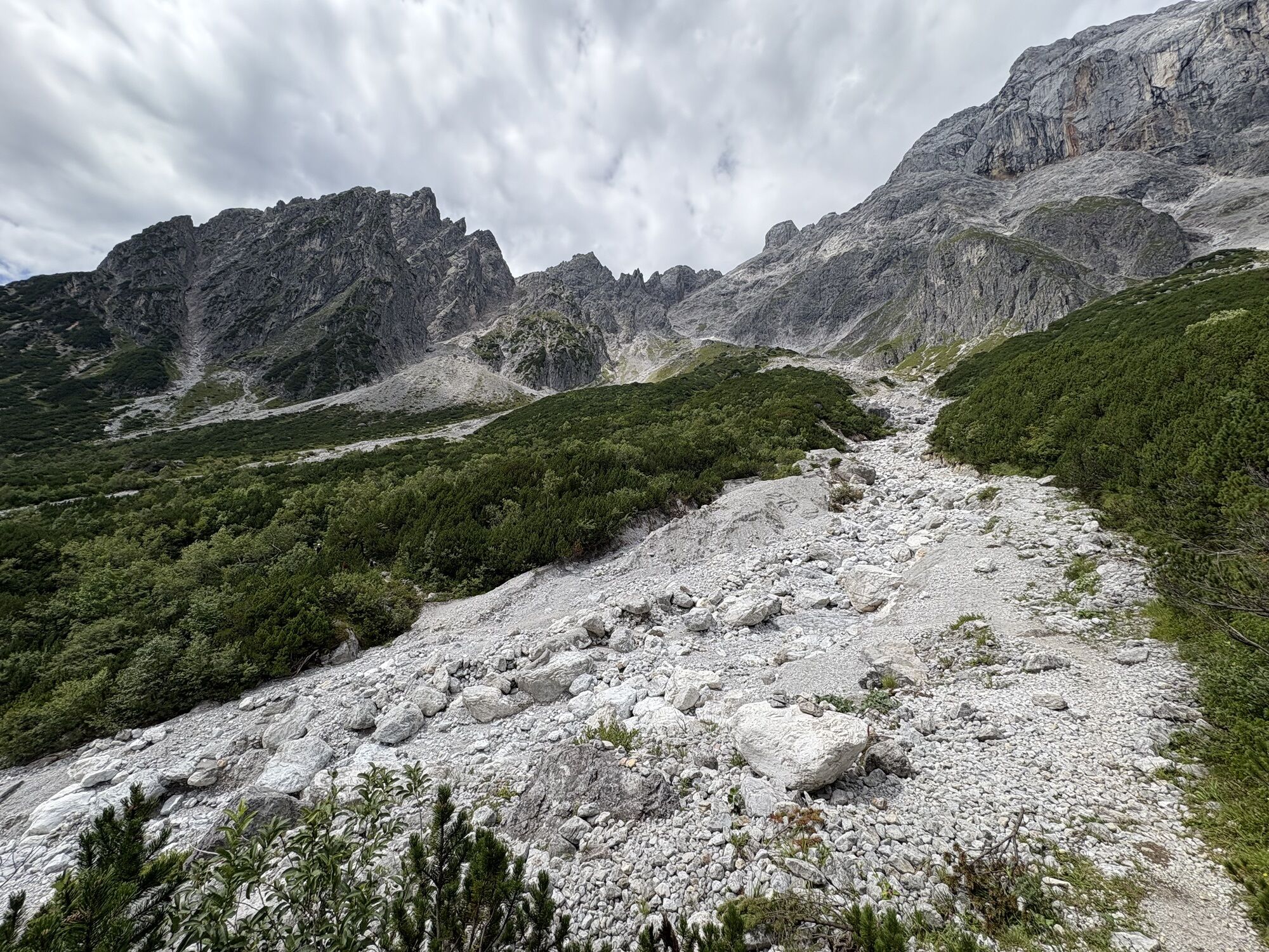
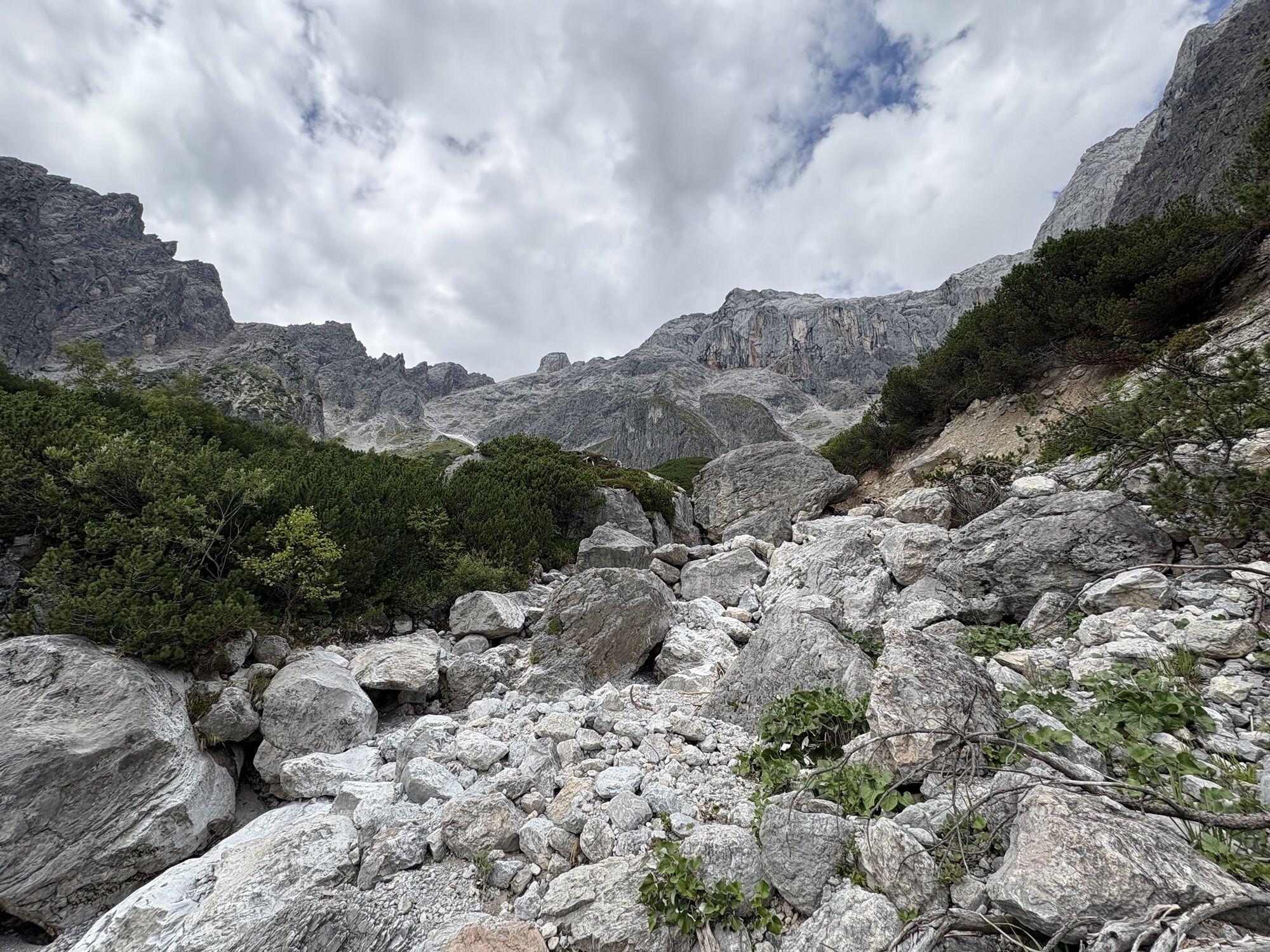
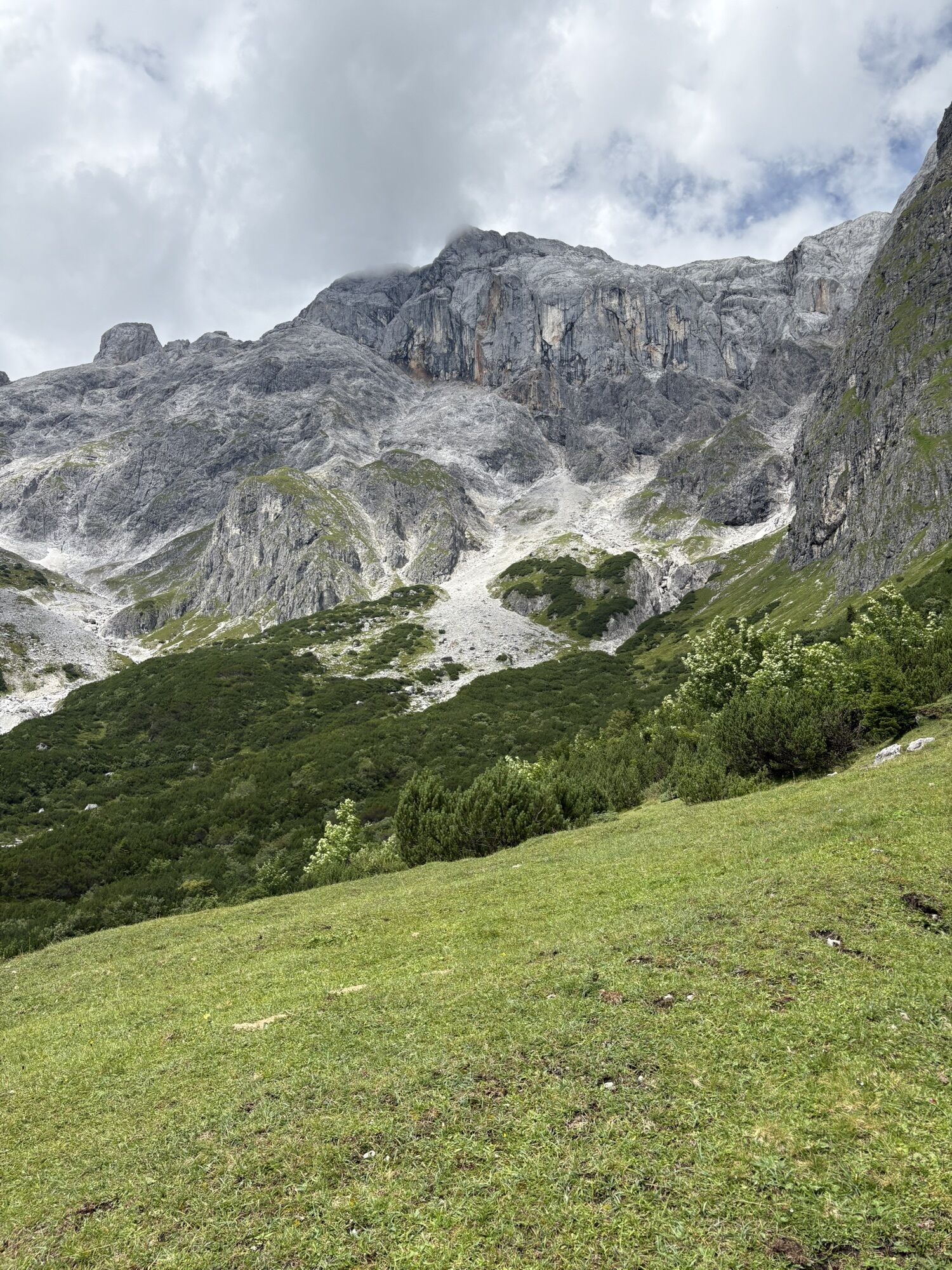
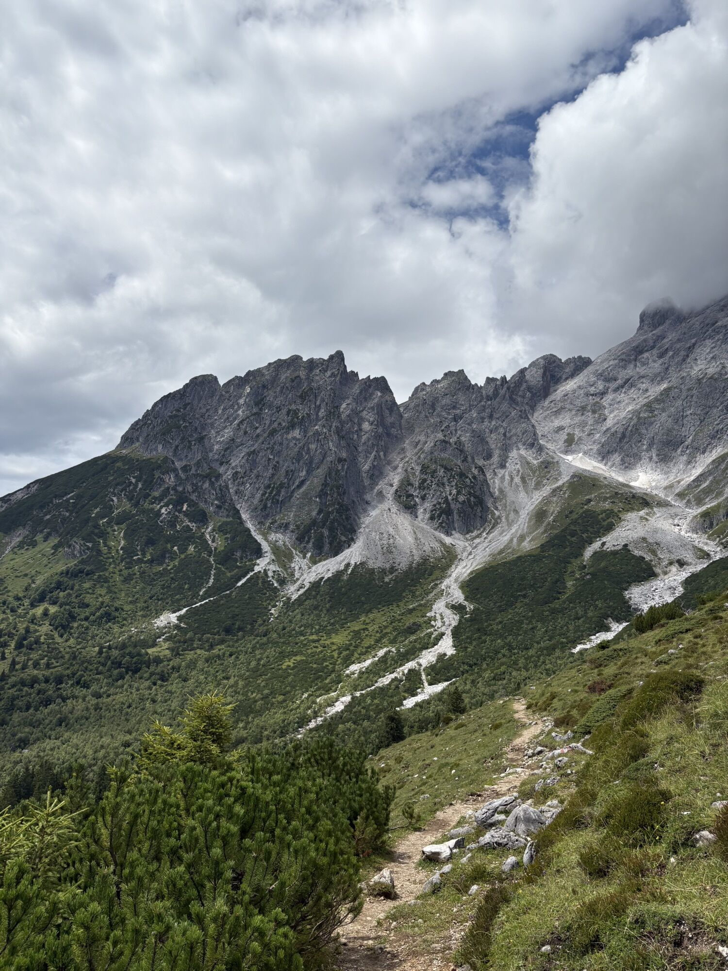
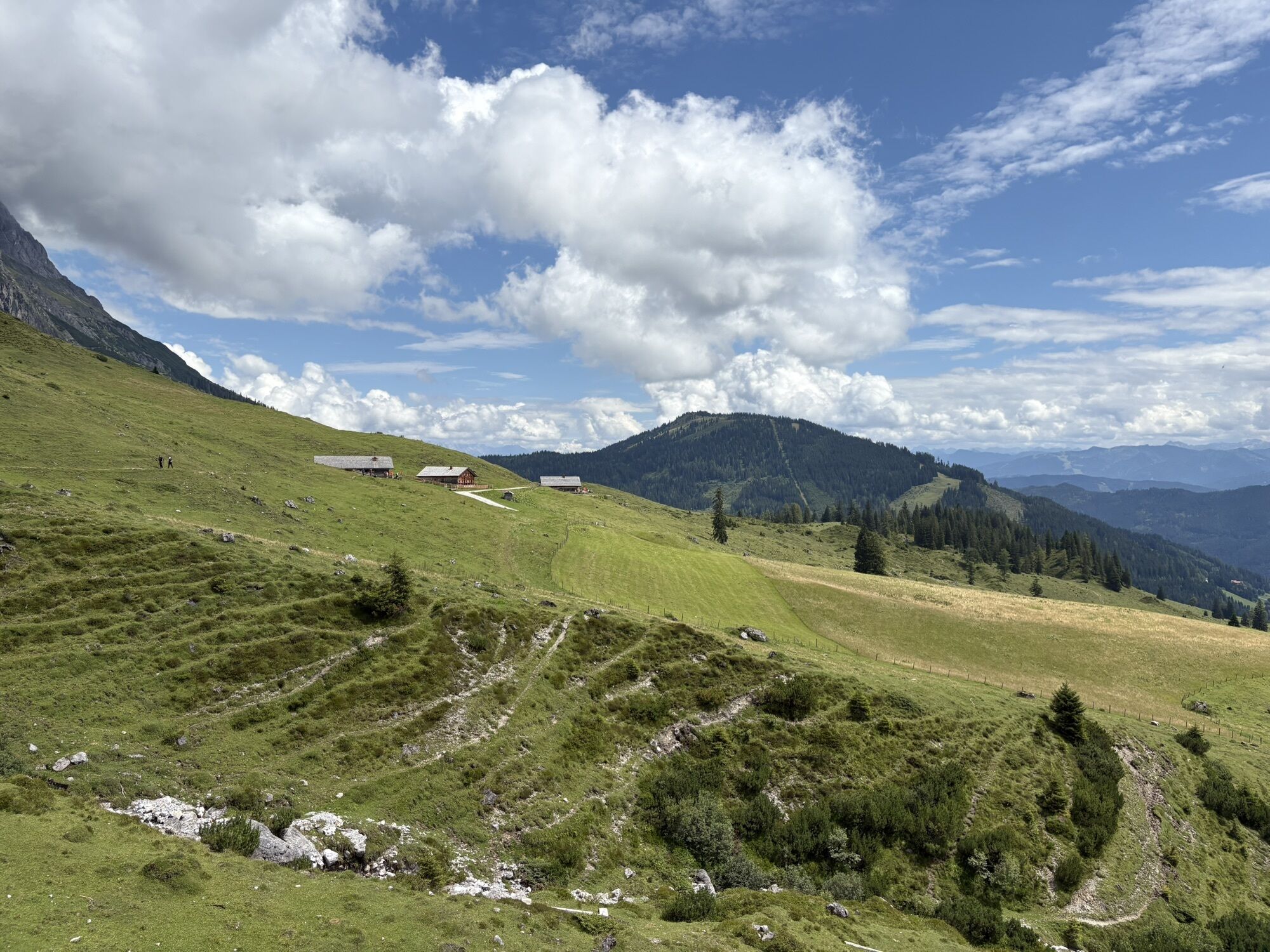
From the Arthurhaus, start along the Hochkönig Panorama Trail (path no. 401A/436). You pass by the Windraucheggalm and through the Riedingtal. A small detour of about 1 hour to the Riedingtal Waterfalls is highly recommended. Continue hiking along the panorama trail past the Four Huts, through the rocky foothills of the Birgkar to the Erichhütte. Attention: Trail closure at the Bockkluft theme trail! The path has been rerouted: After the Erichhütte, follow path no. 66 towards Wirtsalm back to Dienten. The hiking trail below the farmhouse (path no. 66) takes you past more beautiful farms (path no. 65) to Dienten.
Sturdy, ankle-high footwear
Hiking clothing
Hiking poles
Headwear
Sun protection and sunglasses with UV protection
Rain protection
Drinks and a small snack
Necessary medications
First aid kit
Hiking map
Self-assessment: Before each mountain tour, check your physical fitness and properly assess your own strength as well as that of your companions – especially your children! Sure-footedness and being free from vertigo are often very important!
Planning and preparation: Plan each intended mountain tour carefully in advance. Hiking maps and guides, as well as information from alpine clubs and locals such as mountain guides and hut hosts, can be helpful.
Equipment: On the mountain, you need appropriate equipment and clothing, especially sturdy, high shoes with grippy soles. Weather and cold protection are essential, as the weather can change unexpectedly.
Weather forecasts: Pay attention to the current weather conditions at: zamg.at or www.uwz.at.
Togetherness: Observe the 10 rules for proper interaction with grazing animals and do not leave any waste in nature!
Do not dislodge stones: Avoid dislodging stones, as this can seriously endanger other hikers. Marked areas with rockfall danger should be crossed as quickly as possible with attention and caution.
Turn back in time: There is no shame in turning back; it is a sign of prudence. It becomes necessary if the weather changes, fog sets in, or the path is too difficult or not in good condition.
Emergency numbers: Alpine emergency: 140, international emergency: 112, rescue: 144
Arrival from Salzburg: Take the A10 motorway to the Bischofshofen exit, then take the B311 towards Bischofshofen. Follow the Hochkönig federal road/B164 to Mühlbach.
Arrival from Innsbruck/Kufstein: Take the Loferer Straße/B178 towards St. Johann i.T., then via the Hochkönig federal road/B164 through Saalfelden to Mühlbach.
For using the Austrian motorway and expressway network, a valid vignette is required. Carrying a first aid kit, warning triangle, and safety vest is also mandatory. More information at Asfinag.
You can enjoy your holiday from the start by train. You can book your train connection at www.oebb.at or by phone at 051717.
From Bischofshofen station, you can take the regional bus to Mühlbach - regional bus timetable
Paid parking lot at the mountain hotel Arthurhaus.
More information on hiking and activities in the Hochkönig region:
For detailed information on hiking maps, operating hours of mountain railways as well as huts and alpine pastures in summer, we recommend visiting the local service center. There you will not only get the hiking map but also valuable tips on the best hiking routes and current conditions.
Summer operating hours of the mountain railways: The mountain railways offer various opening hours during the summer months, which may vary depending on weather conditions and season. Please check in advance for the current operating times.
Opening hours of huts & alpine pastures in summer: The huts and alpine pastures in the region are ideal rest stops for hikers. The opening hours may also vary depending on the season and day of the week. Let the friendly hosts advise you about the offers and specialties on site.
For more information please visit our website: www.hochkoenig.at.
If you have questions or want to receive specific information, please feel free to contact us:
Email: region@hochkoenig.at
Phone: +43 (0)6584 20388
We look forward to helping you and wish you lots of fun exploring the beautiful Hochkönig hiking region!
Pack only the essentials!

Webové kamery z prehliadky
-
Mühlbach am Hochkönig
-
Maria Alm - Hochmaisbahn
-
Bürglalmlift - Dienten
-
Mühlbach am Hochkönig - Hotel Bergheimat
-
Bergstation Kings Cab
-
Matrashaus am Hochkönig
-
Grünegg Alm & Edelbrennerei
-
Dienten - Übergossene Alm Resort
-
Dienten - Almsee
-
Dienten - Übergossene Alm Resort
-
Dienten, Bürglalmabfahrt
-
Bergstation Kings Cab
-
Bergstation Kings Cab
-
Bergstation Kings Cab
-
Bergstation Kings Cab
-
Bergstation Kings Cab
-
Bergstation Kings Cab
-
Bergstation Kings Cab
-
Bürglalmbahn Abfahrt
-
Hochkönigblick
-
Arthurhaus - Mühlbach
-
Hinterthal - Urslauerhof
-
Hinterthal - Urslauerhof
Získajte prehľad
Vždy naživo na mieste s viac ako 9 500 webovými kamerami. bergfex Ako používateľ Pro si teraz môžete pozrieť príslušné webové kamery pre mnohé zájazdy v aplikácii zájazdy z. Môžete si tak priamo prezerať aktuálne podmienky.
Aktivity počas prehliadky
-

Dienten am Hochkönig, Salzburg/Österreich
29.06.2026 – Štrkový bicykel -
von Erichhütte zum Arthurhaus
15.06.2026 – Turistika -

Mühlbach am Hochkönig, Salzburg/Österreich
28.08.2025 – Turistika -

Mühlbach am Hochkönig, Salzburg/Österreich
25.08.2025 – Turistika -
Mühlbach am Hochkönig, Salzburg/Austria
21.08.2025 – Turistika -

Mühlbach am Hochkönig, Salzburg/Österreich
14.08.2025 – Turistika -
Mühlbach am Hochkönig, Salzburg/Österreich
09.08.2025 – Mountainbike -
Mühlbach am Hochkönig, Salzburg/Österreich
20.06.2025 – Turistika
Obľúbené výlety v okolí
-
4,3
Maria Alm - Riemannhaus
Turistika 3,99 km -
4,8
Summit stormer route Lauskopf
ťažkéTuristika 8,16 km -
4,8
Summit storming route Taghaube
ťažkéTuristika 6,25 km -
4,7
About the "Four Huts circular route" to Windraucheggalm
strednáTuristika 10,1 km -
4,6
Panorama hike to the Hochkeil
strednáTuristika 6,07 km -
3,6
Wanderung zur Ostpreußenhütte in Werfen (1.630 m)
strednáTuristika 11,2 km -
4,9
Breithorn
strednáTuristika 10,0 km -
4,9
Hochkönig - Gipfel der Gefühle - Matrashaus
ťažkéTuristika 20,9 km -
4,8
Highlight Kitzlochklamm Classic round
strednáTuristika 2,02 km -
4,8
Liechtensteinklamm mit Helix
svetloTematická trasa 3 km
Turistika a stopovanie


Nenechajte si ujsť ponuky a inšpiráciu na ďalšiu dovolenku
Vaša e-mailová adresa bol pridaný do poštového zoznamu.





