







Hüttschlag: Kupfergeist

Úroveň náročnosti: D/E
ATTENTION: All via ferrata routes on the Hüttschlager Wand are temporarily closed due to repair work!
Directly from Hüttschlag a hiking trail leads to the entry of the Kupfergeist via ferrata. You reach...
Directly from Hüttschlag a hiking trail leads to the entry of the Kupfergeist via ferrata. You reach it in just 20 minutes. It was built in 2009.
The via ferrata is named after a spirit who was said to have caused trouble in Hüttschlag during the mining era.
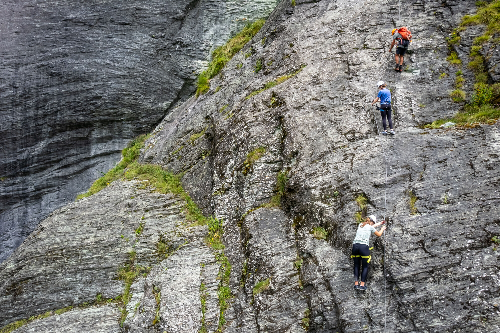
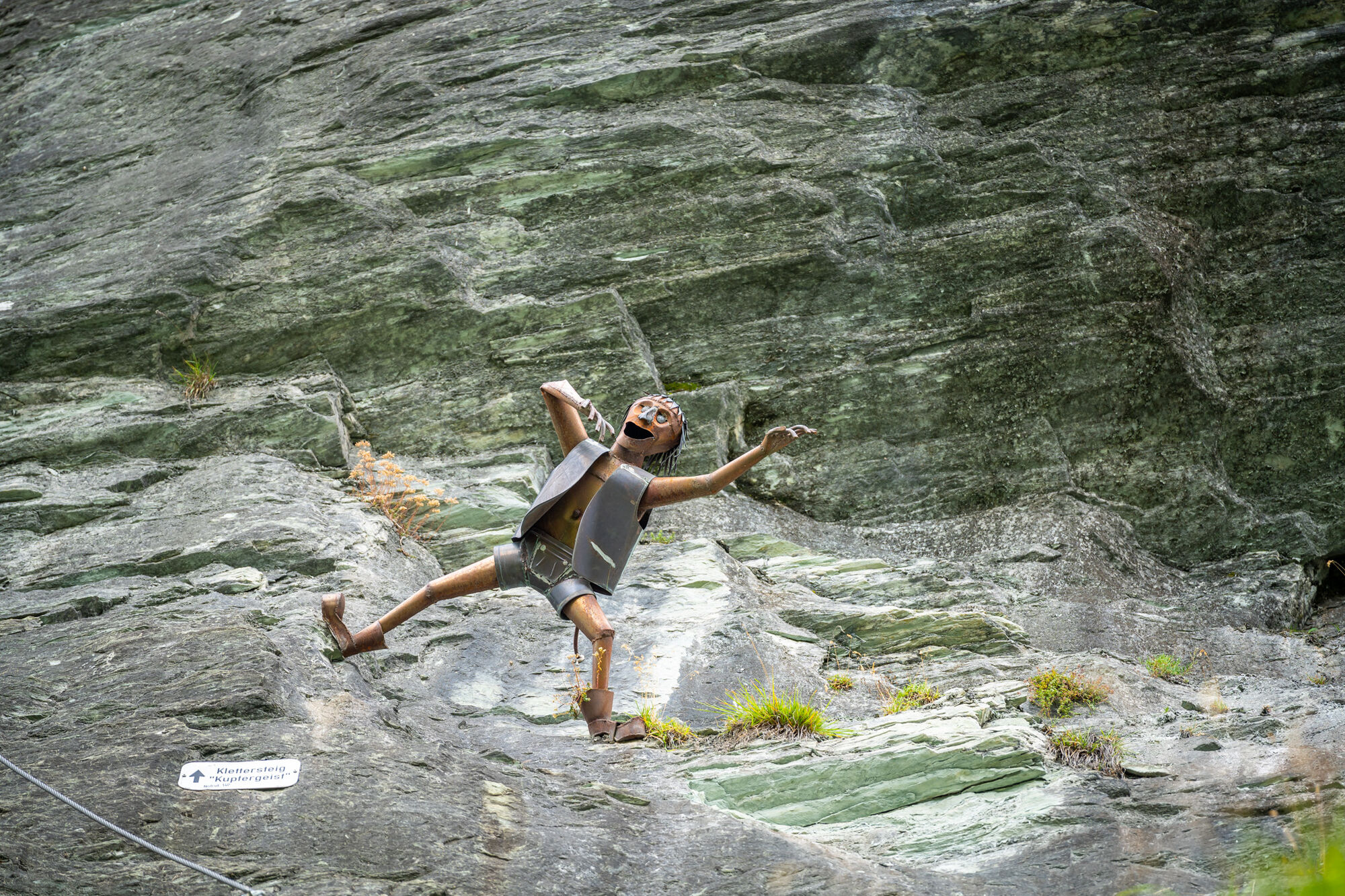
It is a very demanding route, requiring absolute freedom from dizziness. It goes almost vertically over the Hüttschlag wall. Over a length of just 150 m you overcome 120 meters of elevation. A lot of strength and endurance are needed to climb over the slightly overhanging slab zone. Before the exit platform, you must cross a rope bridge – the view from up here is simply unique. Since 2011, the Kupfergeist made of metal has hung in the middle of the via ferrata, watching over the climbers.
Don’t forget: Just before the exit, there is a "hut book" where you can sign in, which is now very well filled.
The descent leads over a lovely hiking trail.

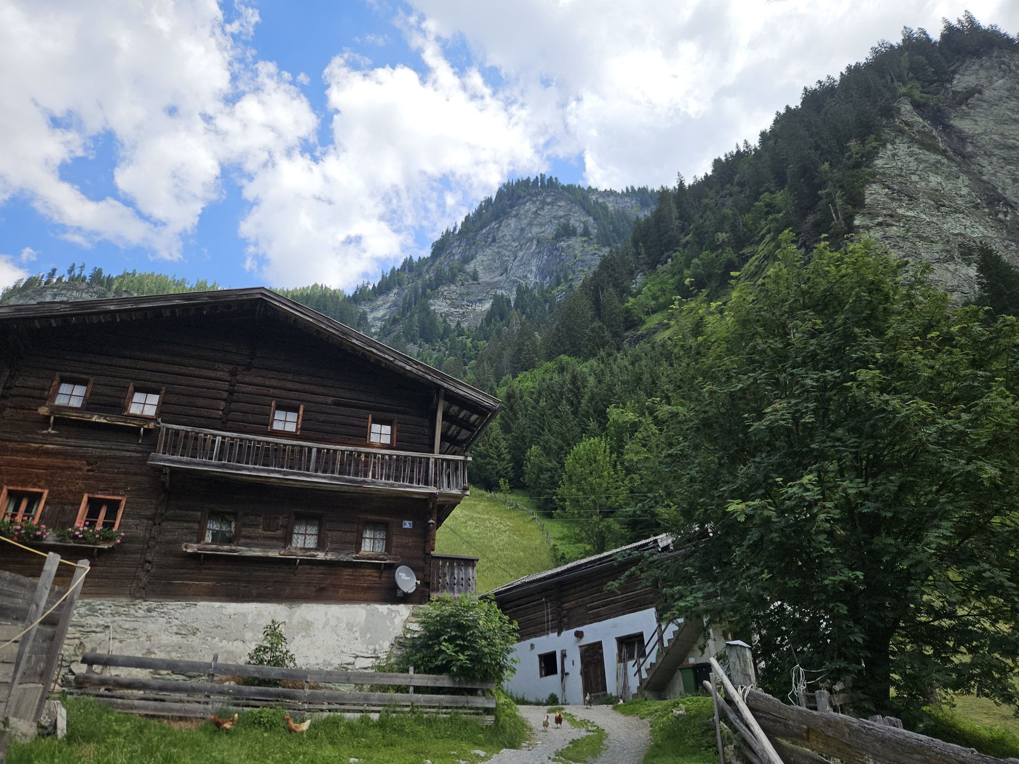
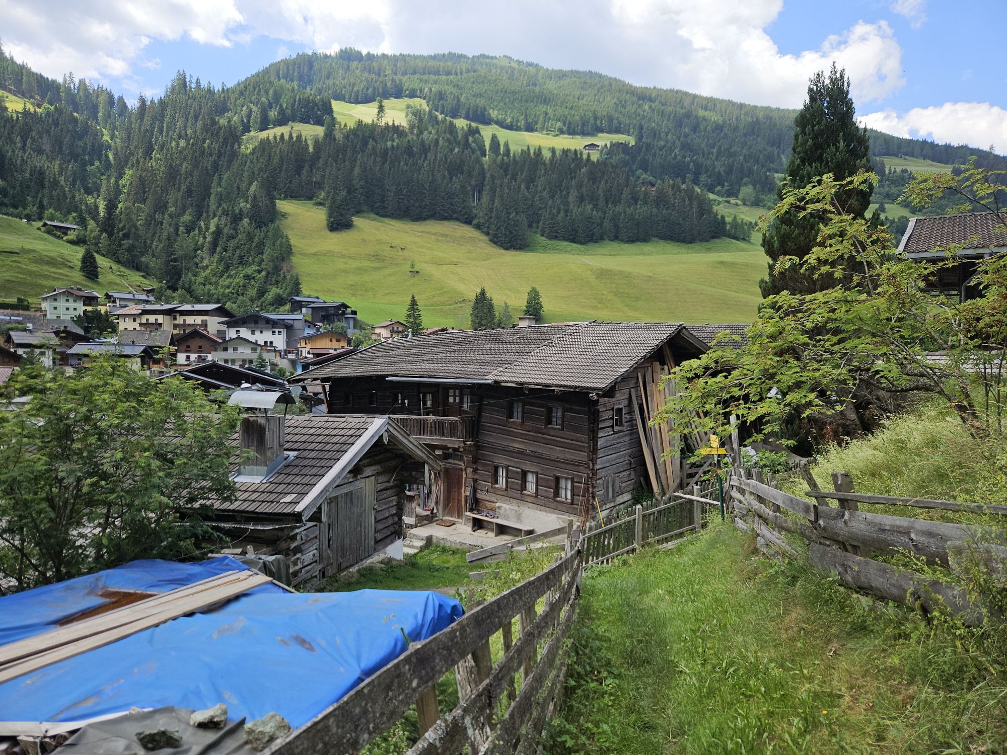
ACCESS: From the parking lot next to the Schappach Chapel, proceed to the main street and follow it to the right until you reach the Huber carpentry workshop. Immediately after, cross the bridge to the left (Asthütt bridge, yellow sign Hundegg and via ferrata) and then continue to the left. Pass the old farmhouse, where the hiking trail to Hundegg branches off to the right. On the path specially created for the via ferrata (the red/white marked hiking trail shortly afterwards leads to the left upwards and should be ignored), ascend in several switchbacks to the base of the wall (belay point slightly further to the right near a bench).
VIA FERRATA: Over the entry slab (B and B/C) to the junction of the Gletschergoassteig. Then left of an overhang upwards (C and C/D) and zig-zag over beautiful, steep slabs (C to D) to a vertical wall, which forms the first key section (D/E, a grip bow). After an earthy grassy ledge follows the second key section (D/E, very steep and strenuous, two grip bows). Then slightly less steep over slabs (C to D) to the left and in a traverse (B to C) to a partially overhanging and very exposed pillar (C/D and D), over which you finally reach the rope bridge with a last traverse. After this, over the short exit pillar (C) to the viewing platform (grate).
Length: 240 m
Elevation: 140 m
Difficulty: D/E
DESCENT: From the viewing platform, go briefly upwards into the forest and then follow the marked path to a beautiful alpine meadow. Via the marked hiking trail (No. 55) you reach the starting point again in about 30 minutes.
Helmet, climbing harness, and via ferrata set are required; gloves and climbing shoes are recommended.
Good physical condition and being free from dizziness as well as via ferrata experience are prerequisites!
Drive by car or take the Postbus line No. 540 to the town center of Hüttschlag
Parking available in the town center of Hüttschlag
D/E
From up here you have a breathtaking view of Hüttschlag.

Obľúbené výlety v okolí
-
5,0
Hüttschlag: Karteistörl - Tappenkarsee - Draugsteintörl - Draugsteinalmen
strednáTuristika 13,5 km -
4,9
Großarl: Aualm - Liechtensteinkopf - Aukopf - Schuhflicker - Schuhflickersee
strednáTuristika 5,84 km -
4,9
Großarl: Heukareck
strednáTuristika 12,5 km -
4,2
Tappenkarsee Kleinarl
strednáTuristika 9,11 km -
5,0
Großarl: Alpine pasture circuit in Ellmautal
strednáTuristika 9,69 km -
4,6
Großarl: Mooslehenalm – Niggeltalalm – Viehhausalm
strednáTuristika 5,44 km -
4,7
Großarl: Saukaralm - Saukarkopf - Gerstreitalm
strednáTuristika 9,39 km -
4,5
Gasteiner Höhenweg von Bad Gastein nach Bad Hofgastein
svetloTuristika 8,58 km -
4,5
Mountain route from the Kötschachtal to the natural jewel Reedsee
strednáTuristika 12,5 km -
4,8
Großarl: Bichlalm
strednáMountainbike 18,9 km
Turistika a stopovanie


Nenechajte si ujsť ponuky a inšpiráciu na ďalšiu dovolenku
Vaša e-mailová adresa bol pridaný do poštového zoznamu.





