


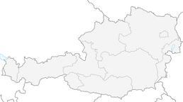


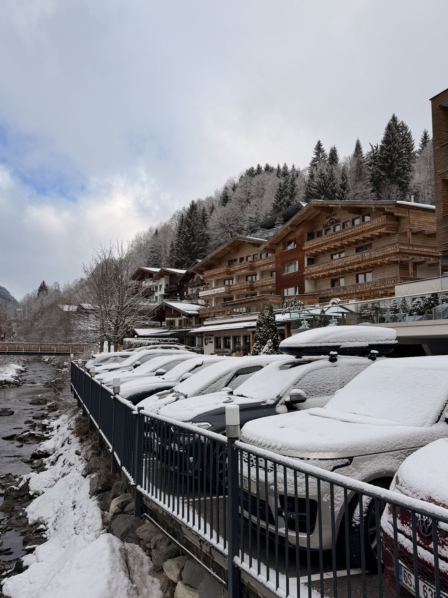
Connection Glemmtal - Salzachtal (Crossing the Alps)
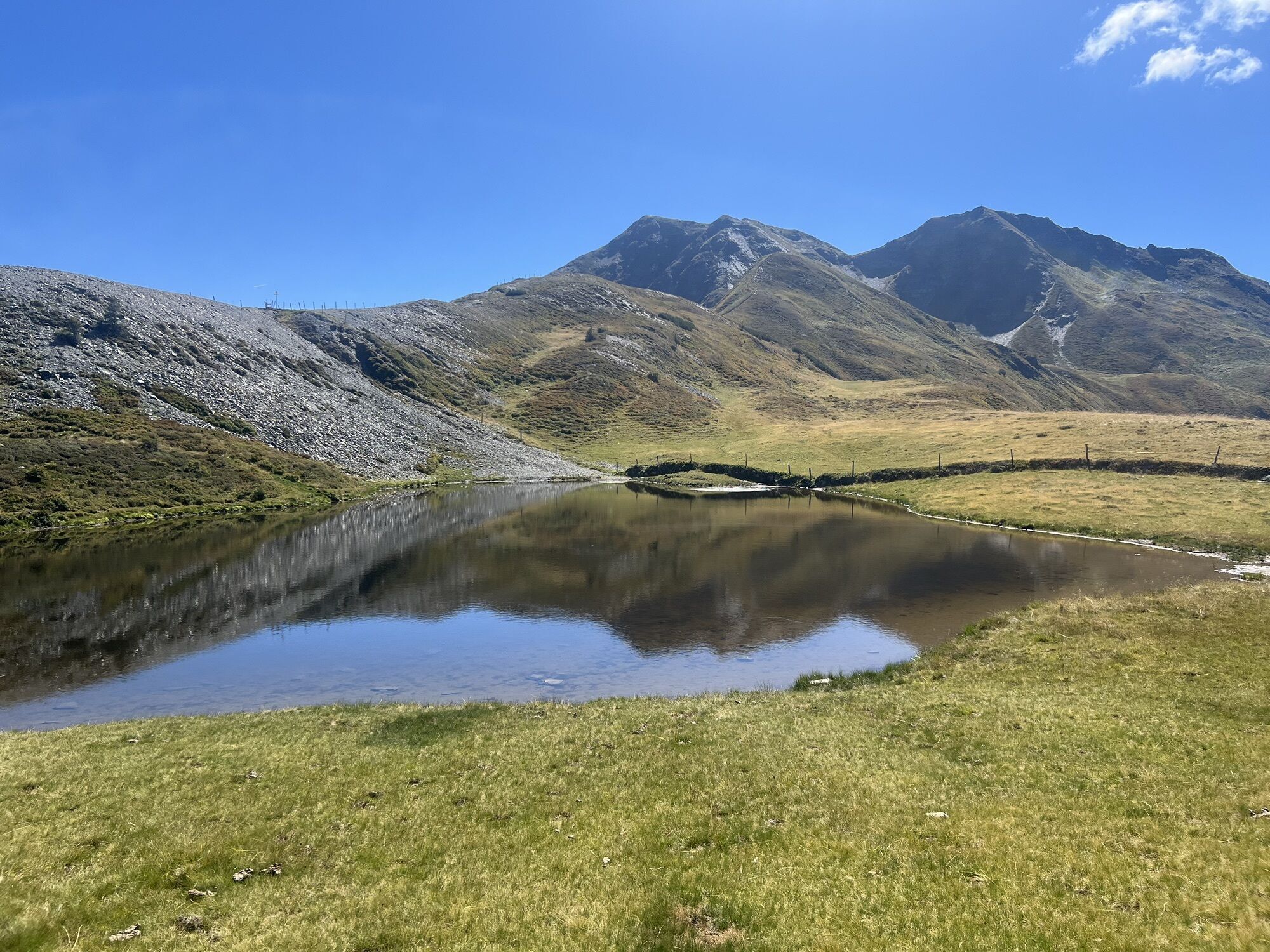
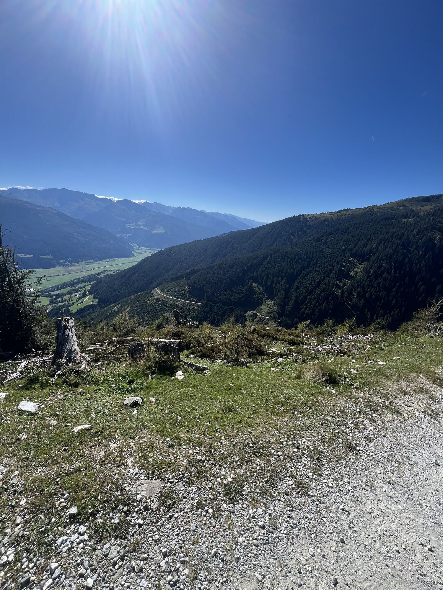
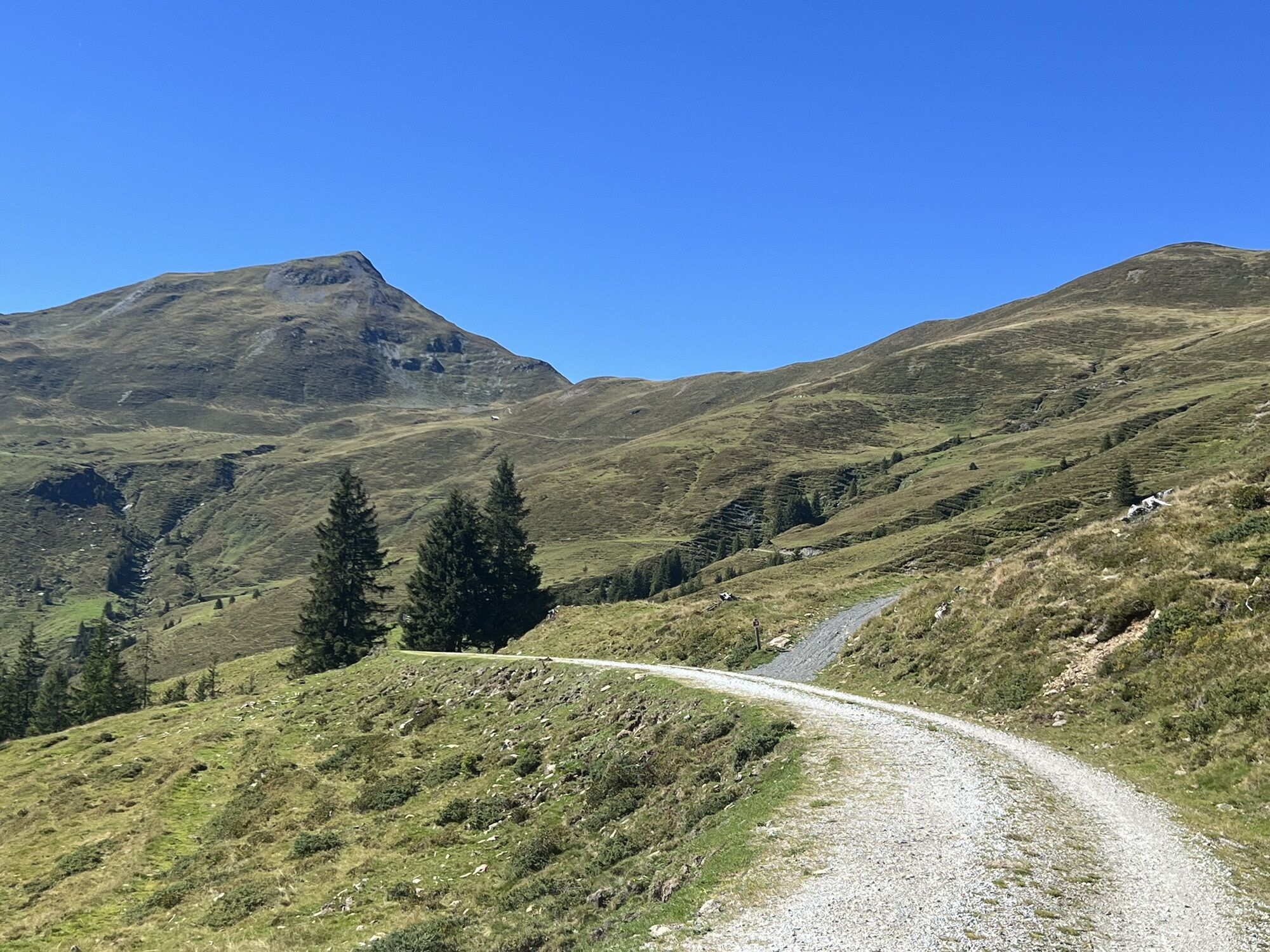
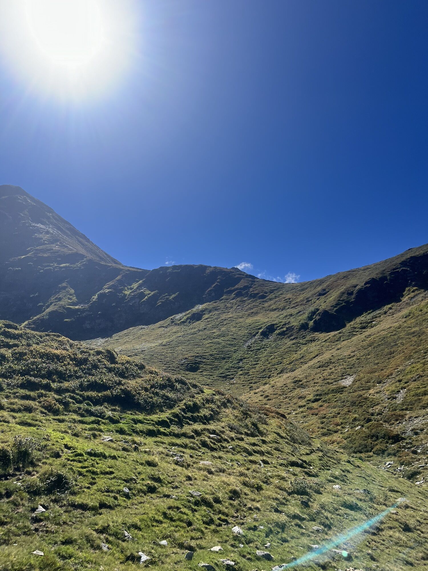


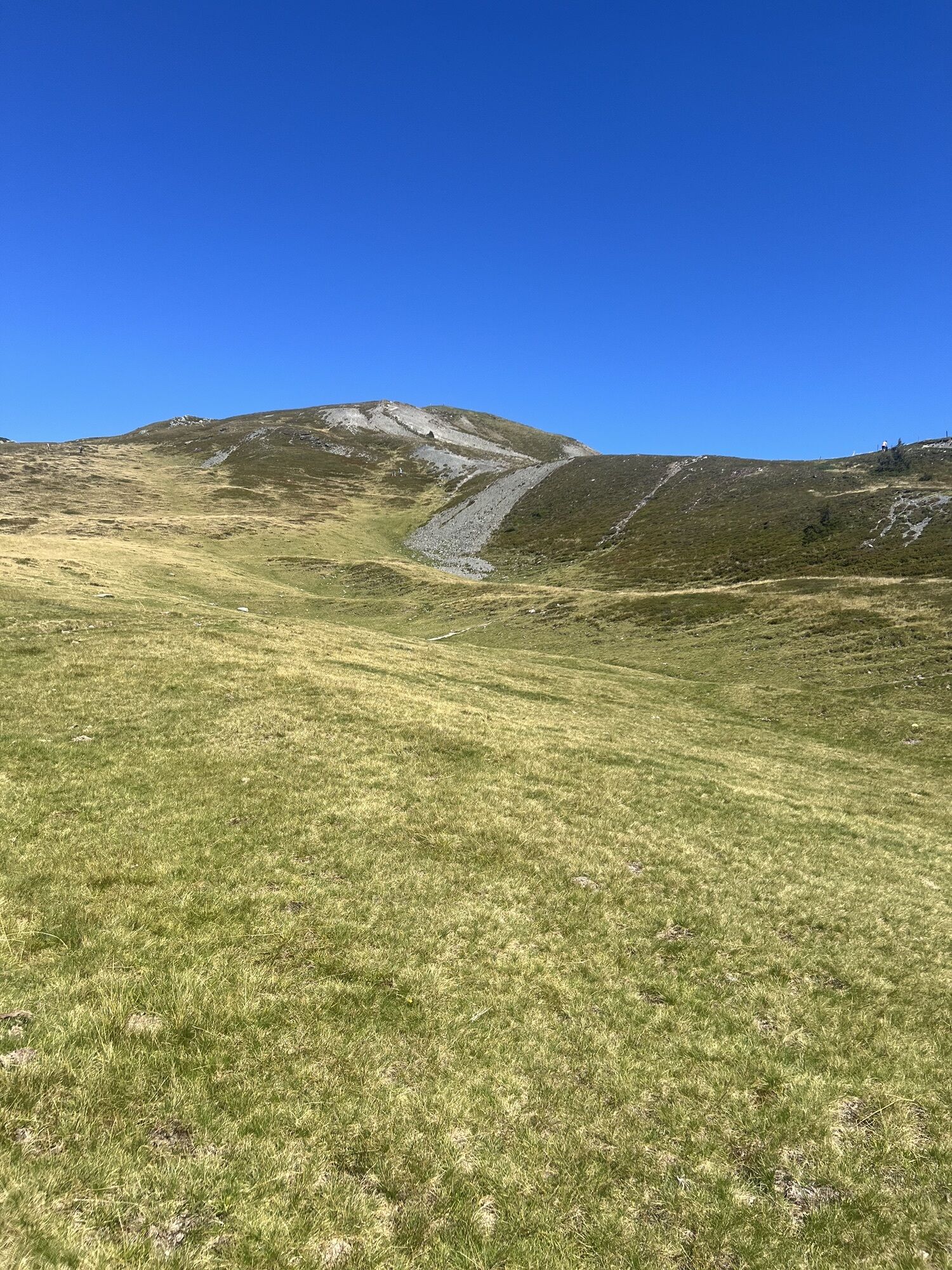

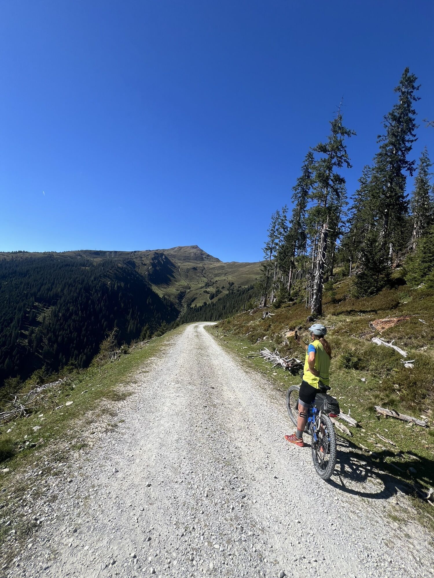

Coming from Saalbach, continue along the promenade into the valley to Hinterglemm. At the western end of the village, turn into the Schwarzachergraben and follow it for approx. 2.5 km. Then turn left towards...
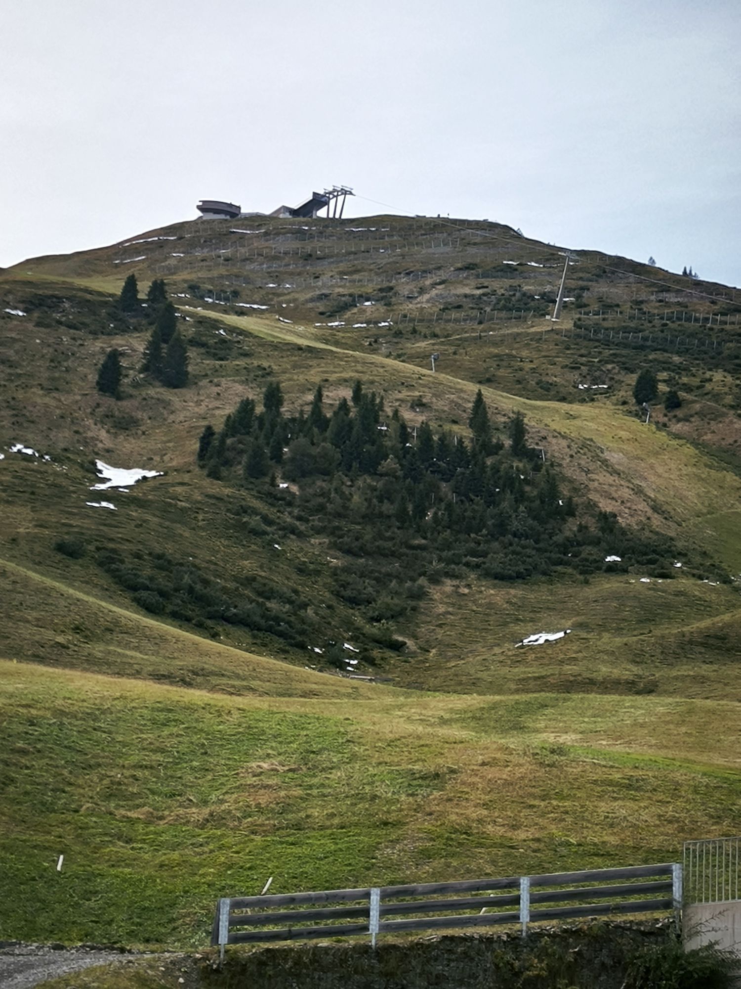
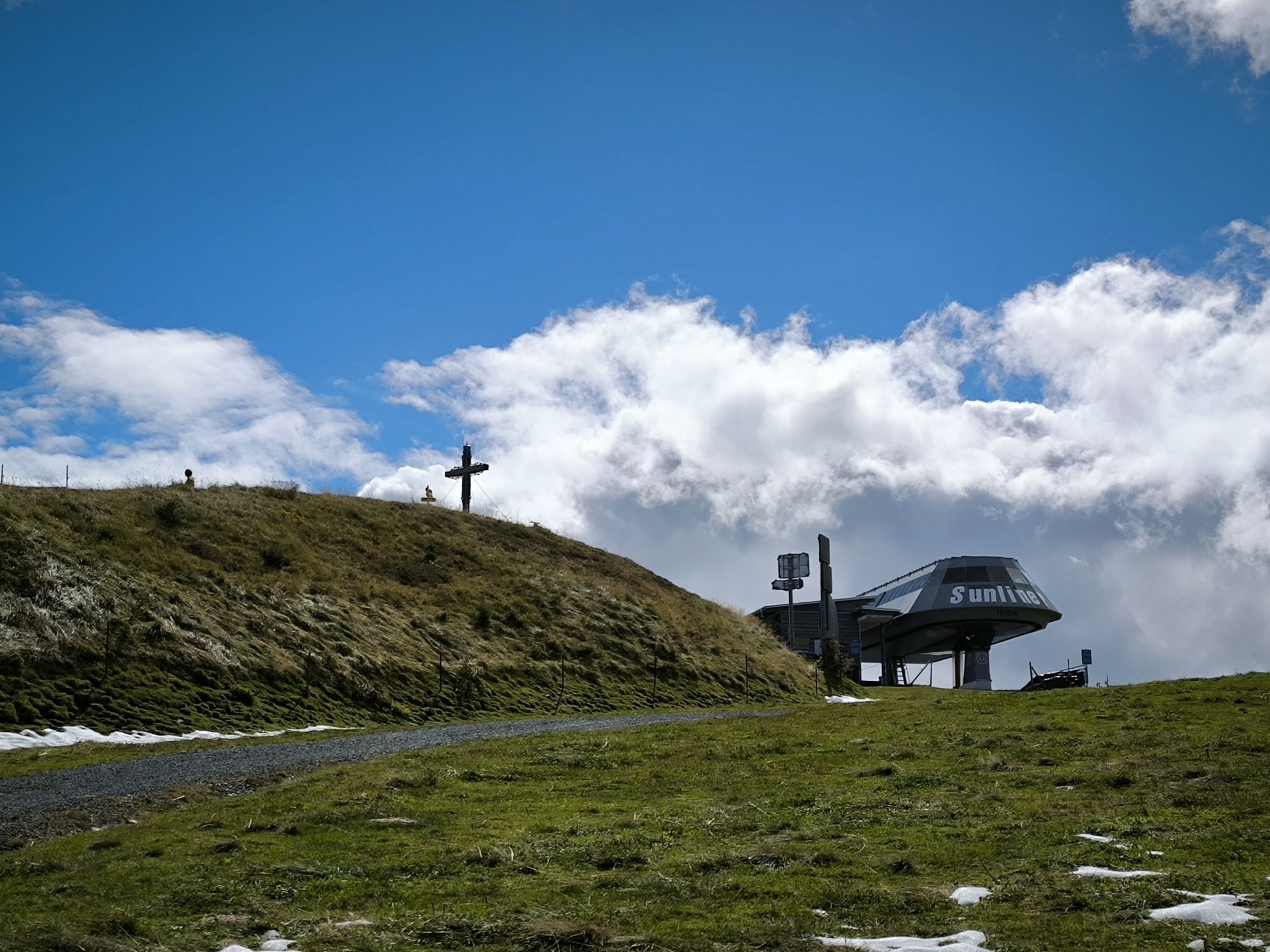
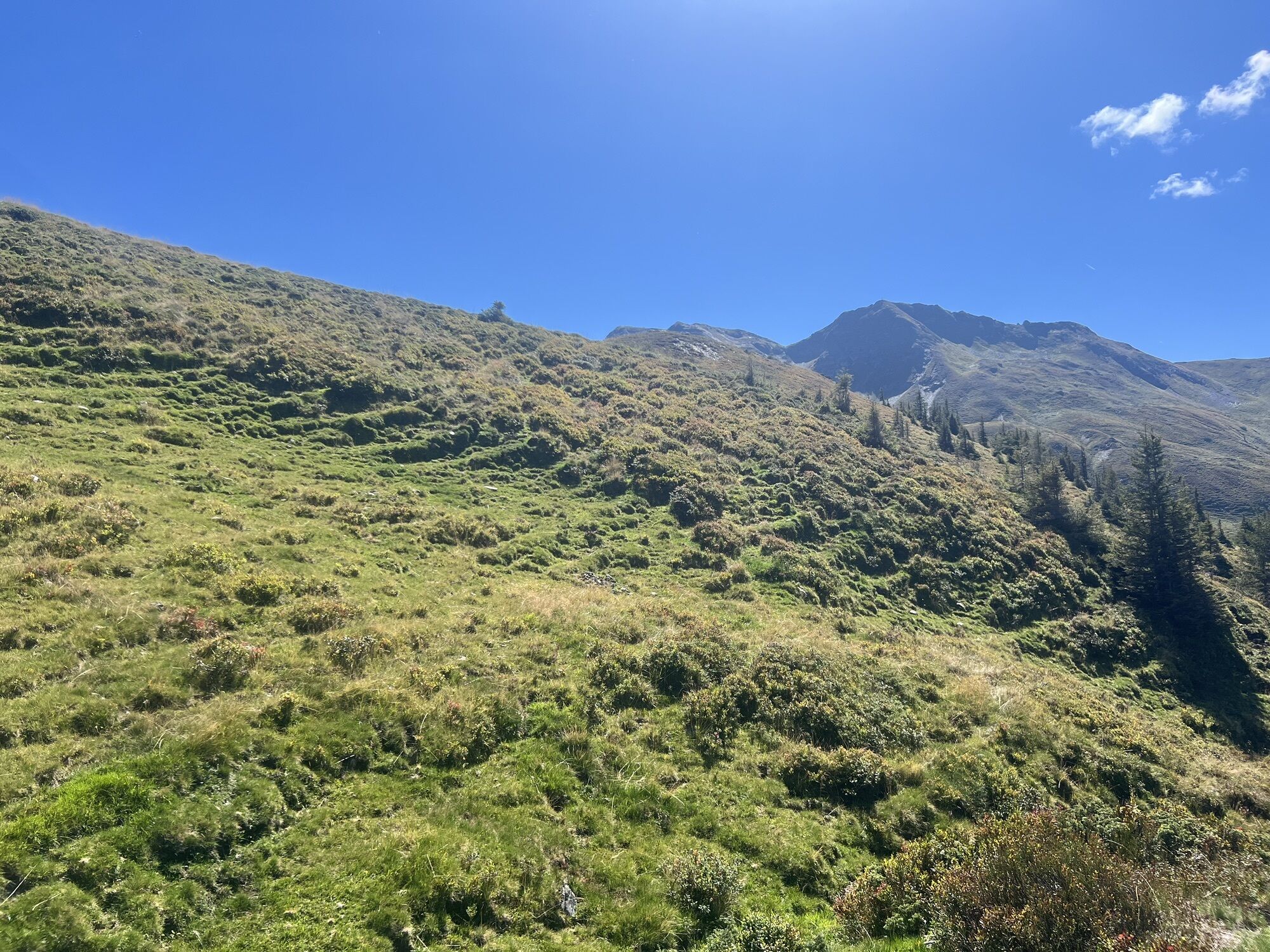
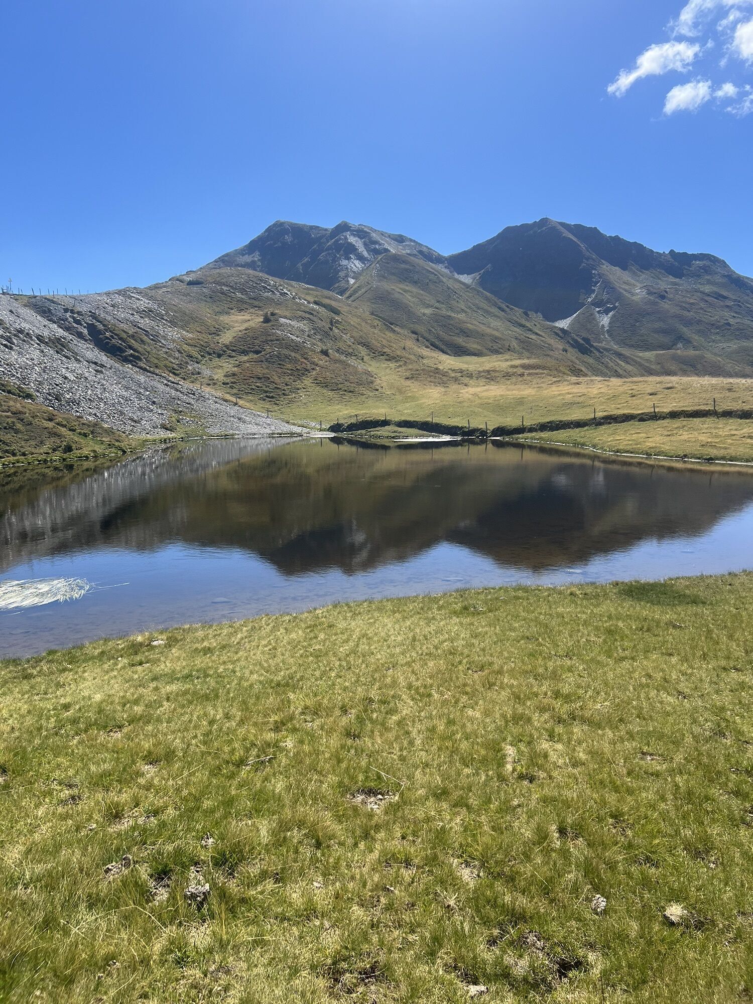
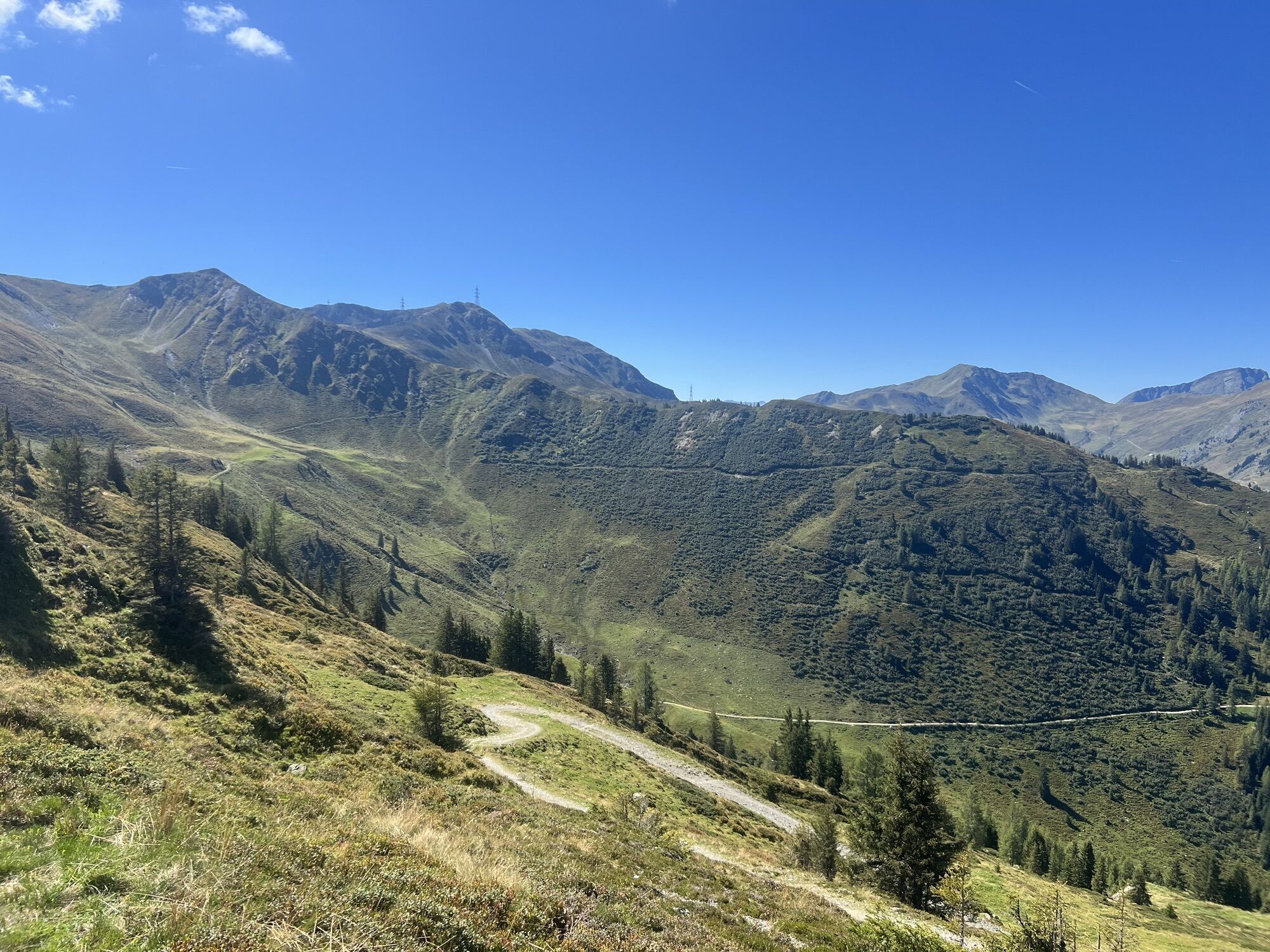
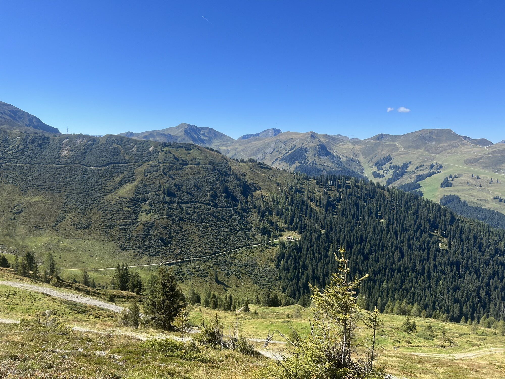
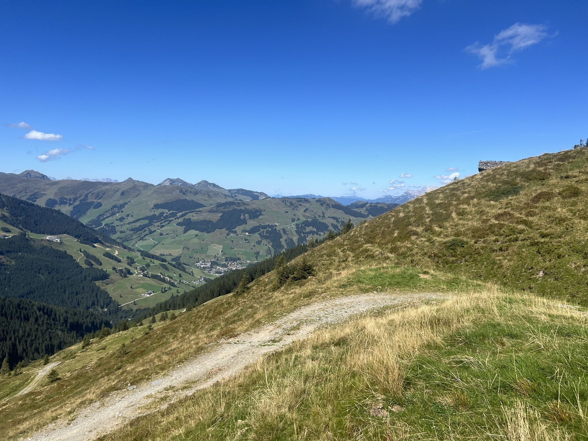
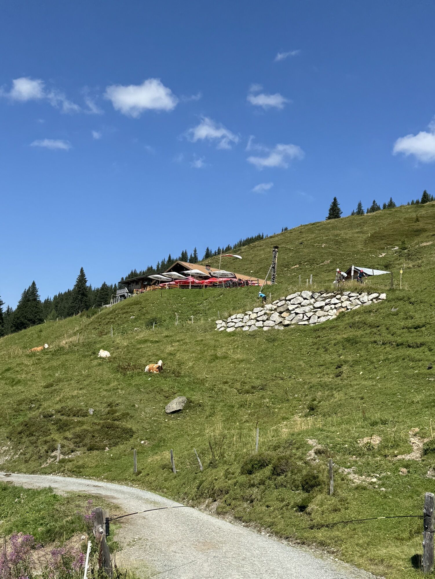
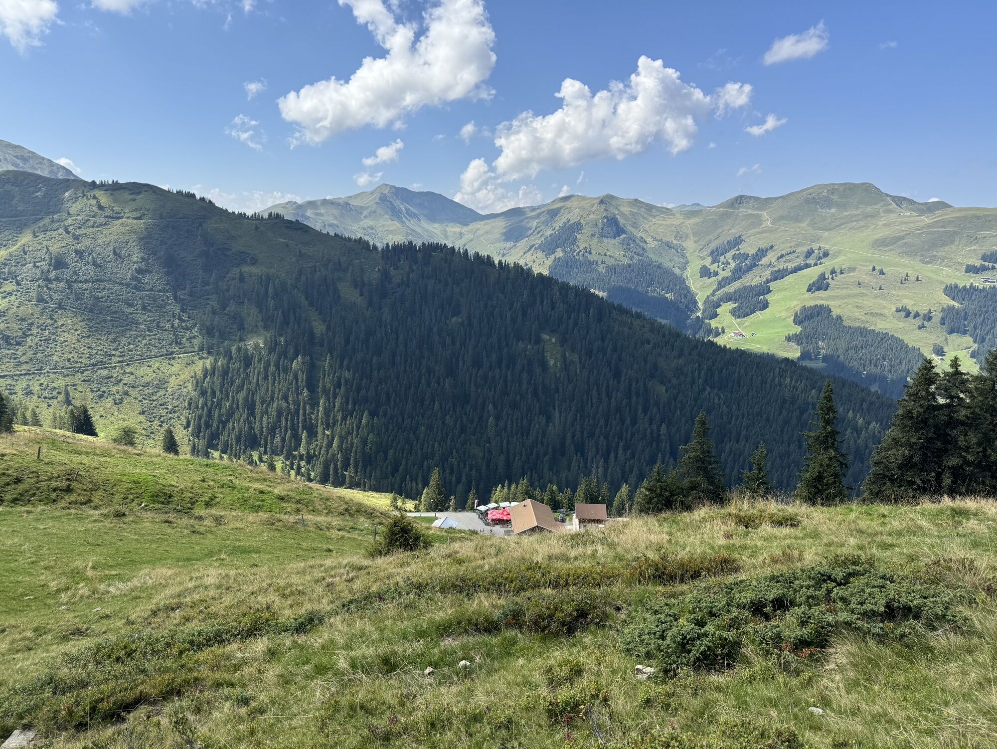
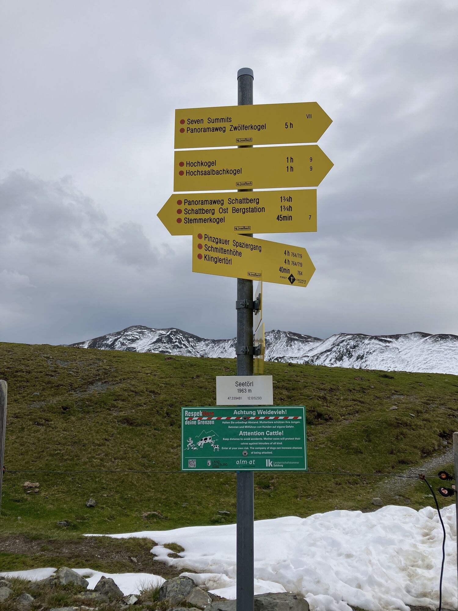
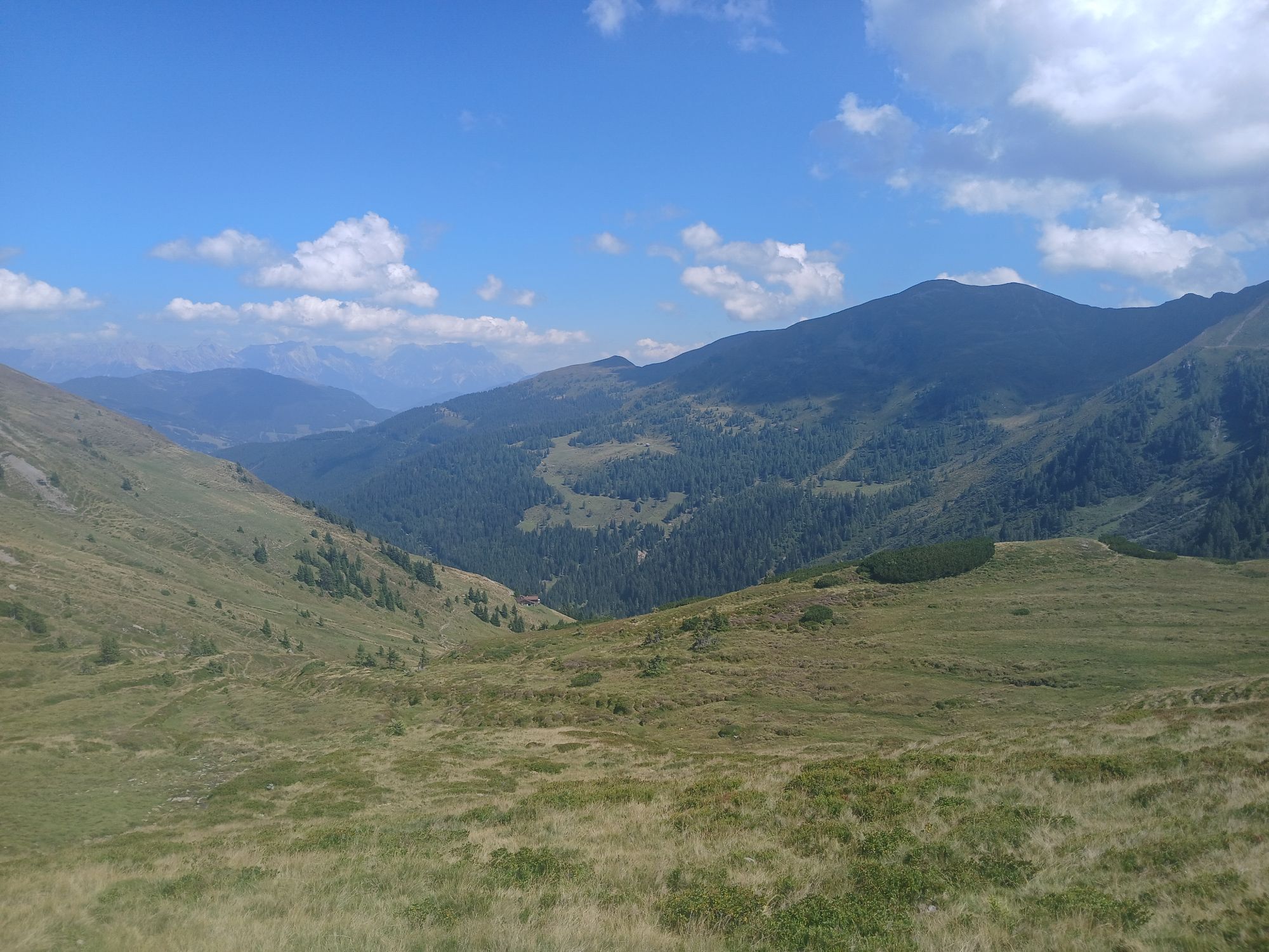
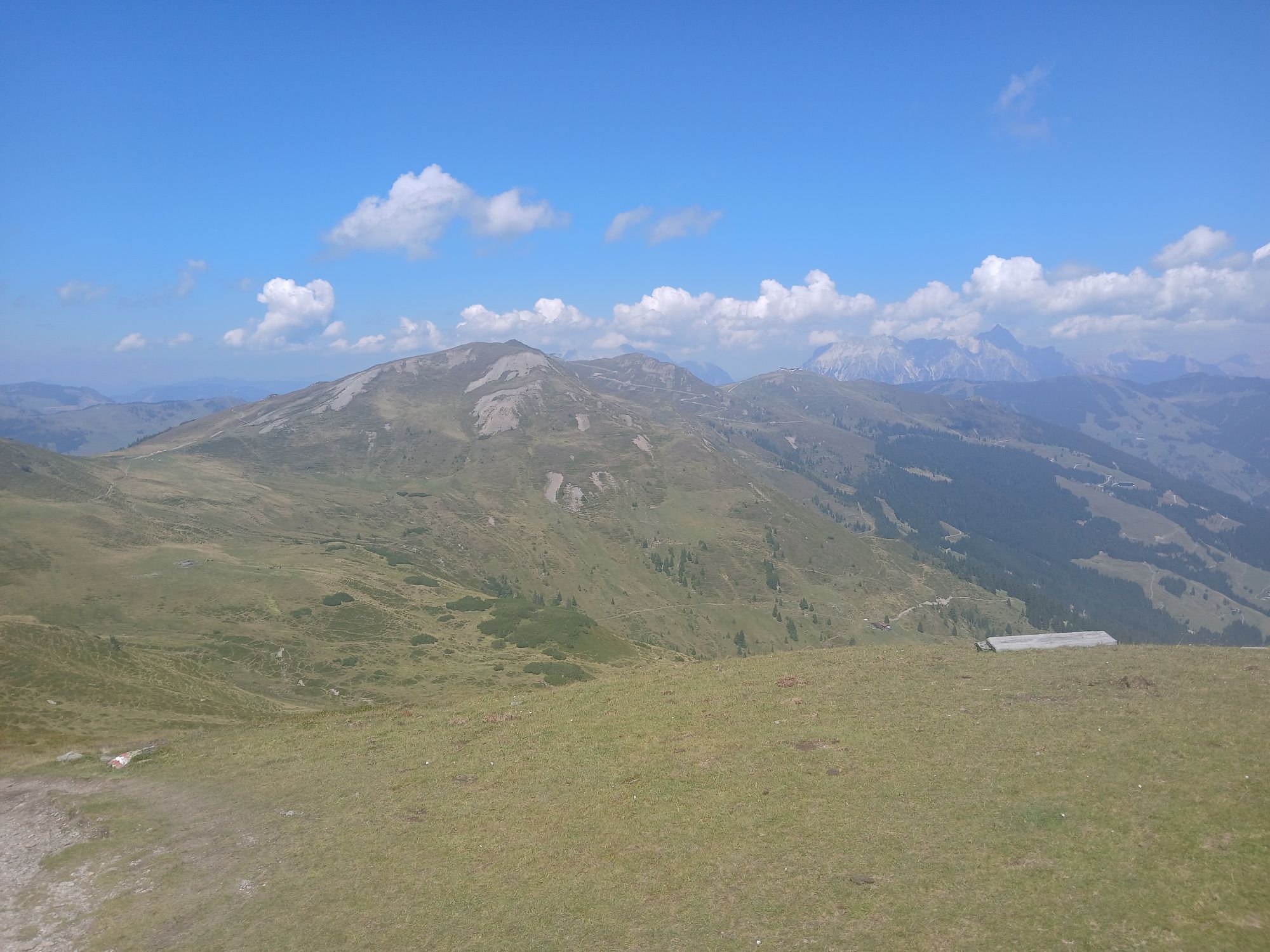
Coming from Saalbach, continue along the promenade into the valley to Hinterglemm. At the western end of the village, turn into the Schwarzachergraben and follow it for approx. 2.5 km. Then turn left towards Hacklbergeralm. After the hut, continue to the Hacklberger lakes and the Seetörl. Continue below the eastern flank of the Hochkogel to the Klinglertörl (highest point, shelter hut) and then descend to Walchen in the Salzach Valley.


Obľúbené výlety v okolí
-
4,8
Sigmund Thun Klamm, Klammsee, Bürgkogel
svetloTuristika 4,56 km -
4,0
Maurerkogel (Top)
Turistika 10,5 km -
4,9
Hochsonnberg Runde
strednáMountainbike 59,8 km -
4,5
Thumersbach, Runde um den Zeller See
svetloTuristika 13,3 km -
4,4
Sigmund Thun Klamm
svetloTuristika 3,10 km -
4,0
Berg der Sinne
svetloTuristika 4,39 km -
5,0
Panorama route 3 peaks and 2 lakes
strednáTuristika 7,21 km -
5,0
Leo’s play hiking trail
svetloTematická trasa 4,89 km -
4,2
Saalachtaler Höhenweg EAST (Asitz - Biberg)
strednáTuristika 13,1 km -
4,7
Tristkogel
ťažkéTuristika 15,6 km
Turistika a stopovanie


Nenechajte si ujsť ponuky a inšpiráciu na ďalšiu dovolenku
Vaša e-mailová adresa bol pridaný do poštového zoznamu.