


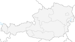


SH 31 Panorama Alm - route

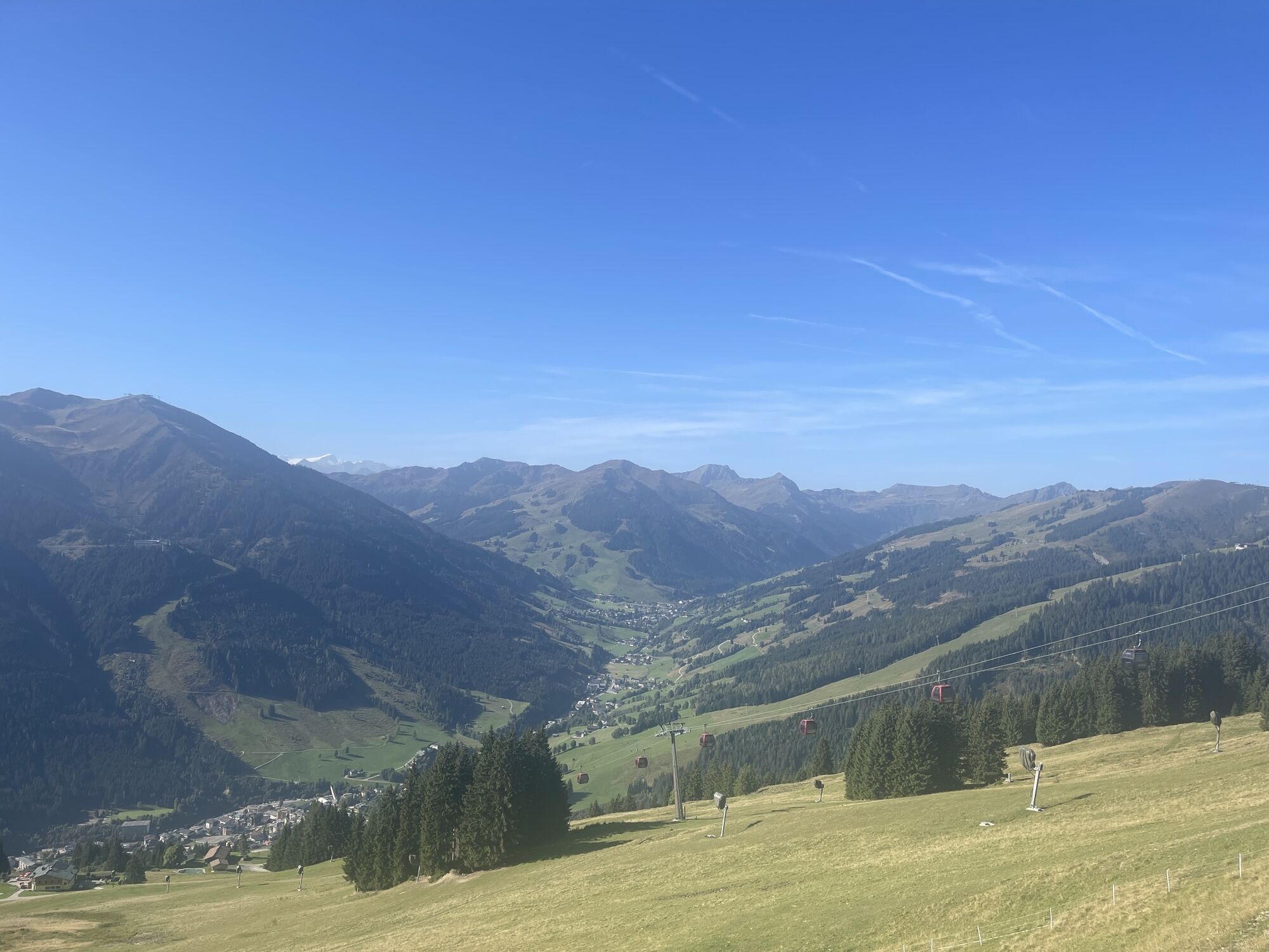
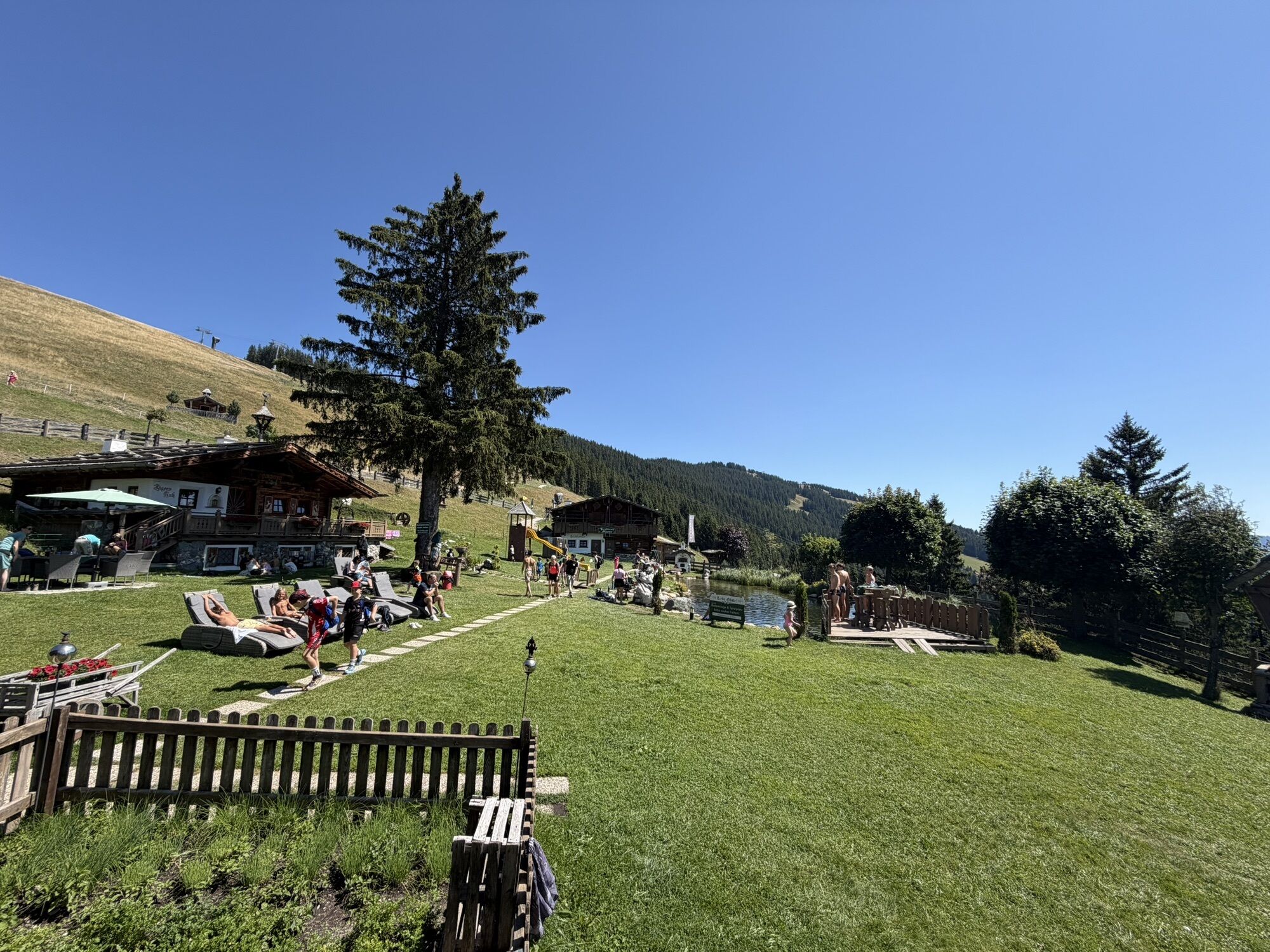
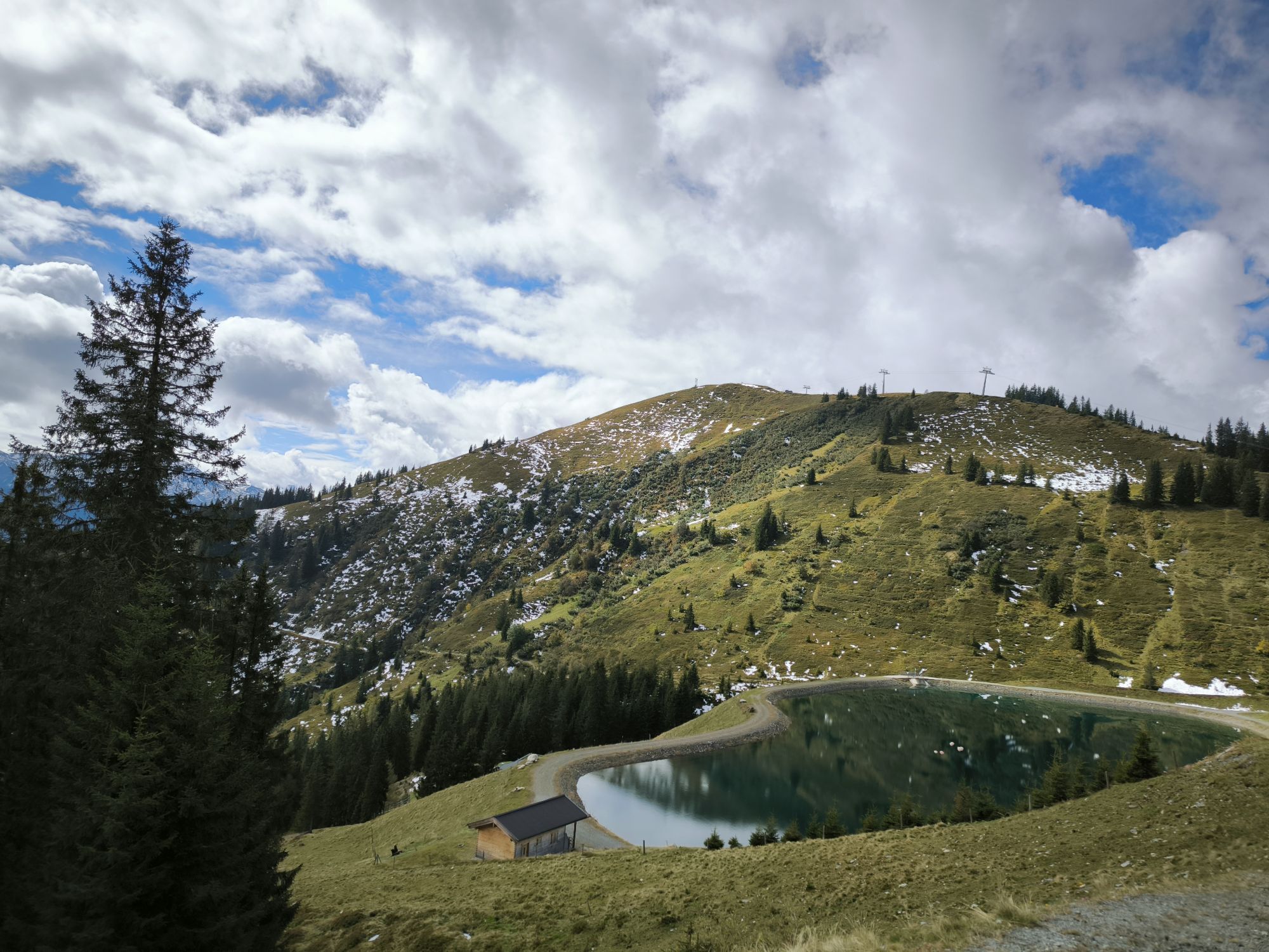
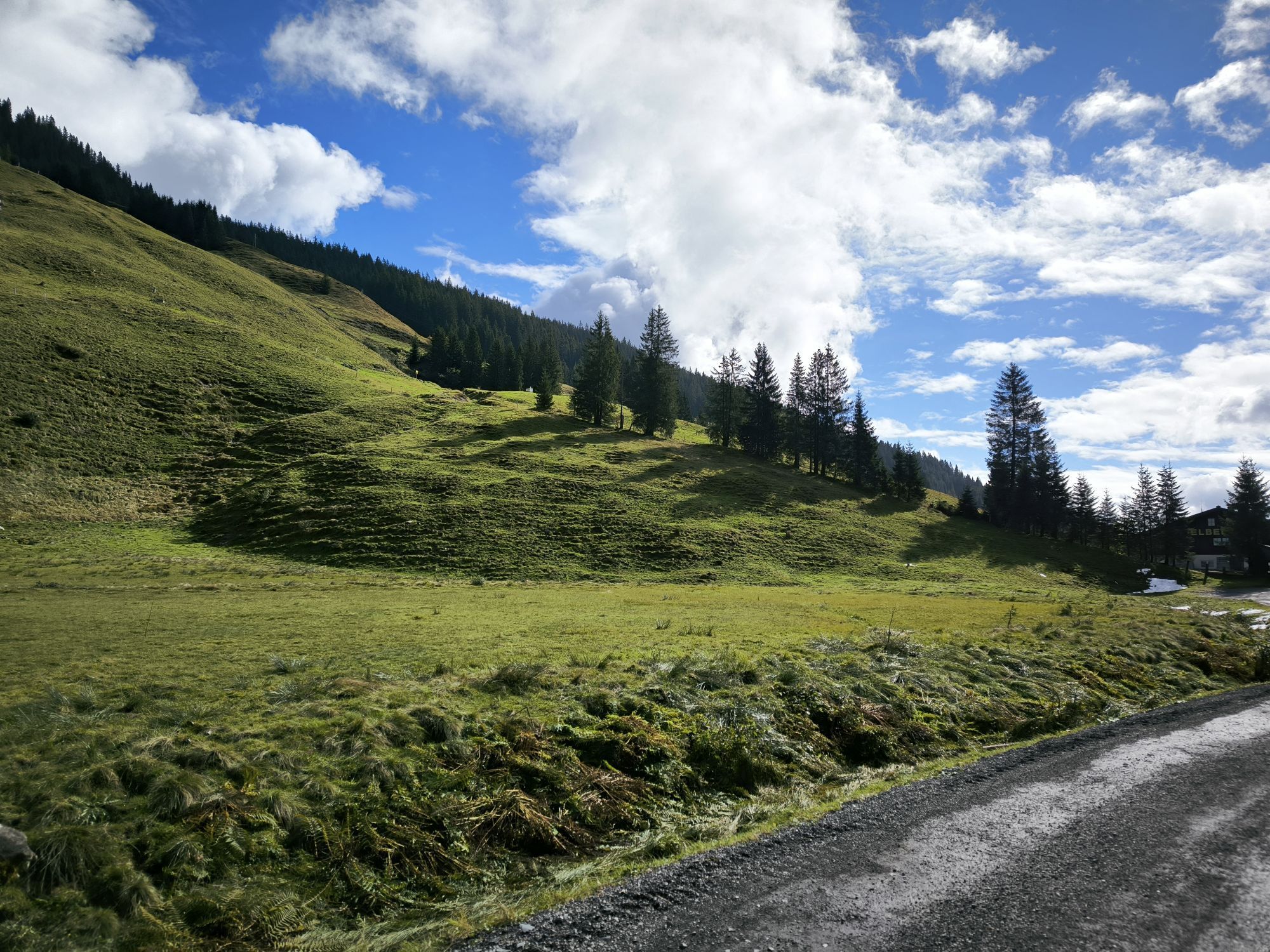
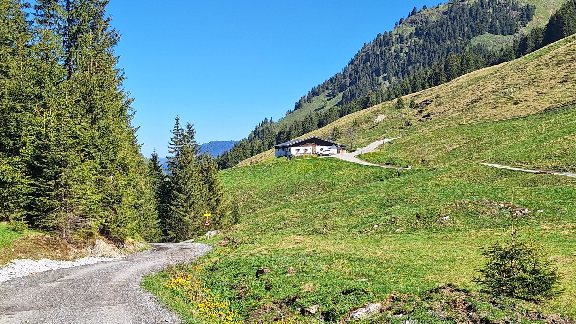
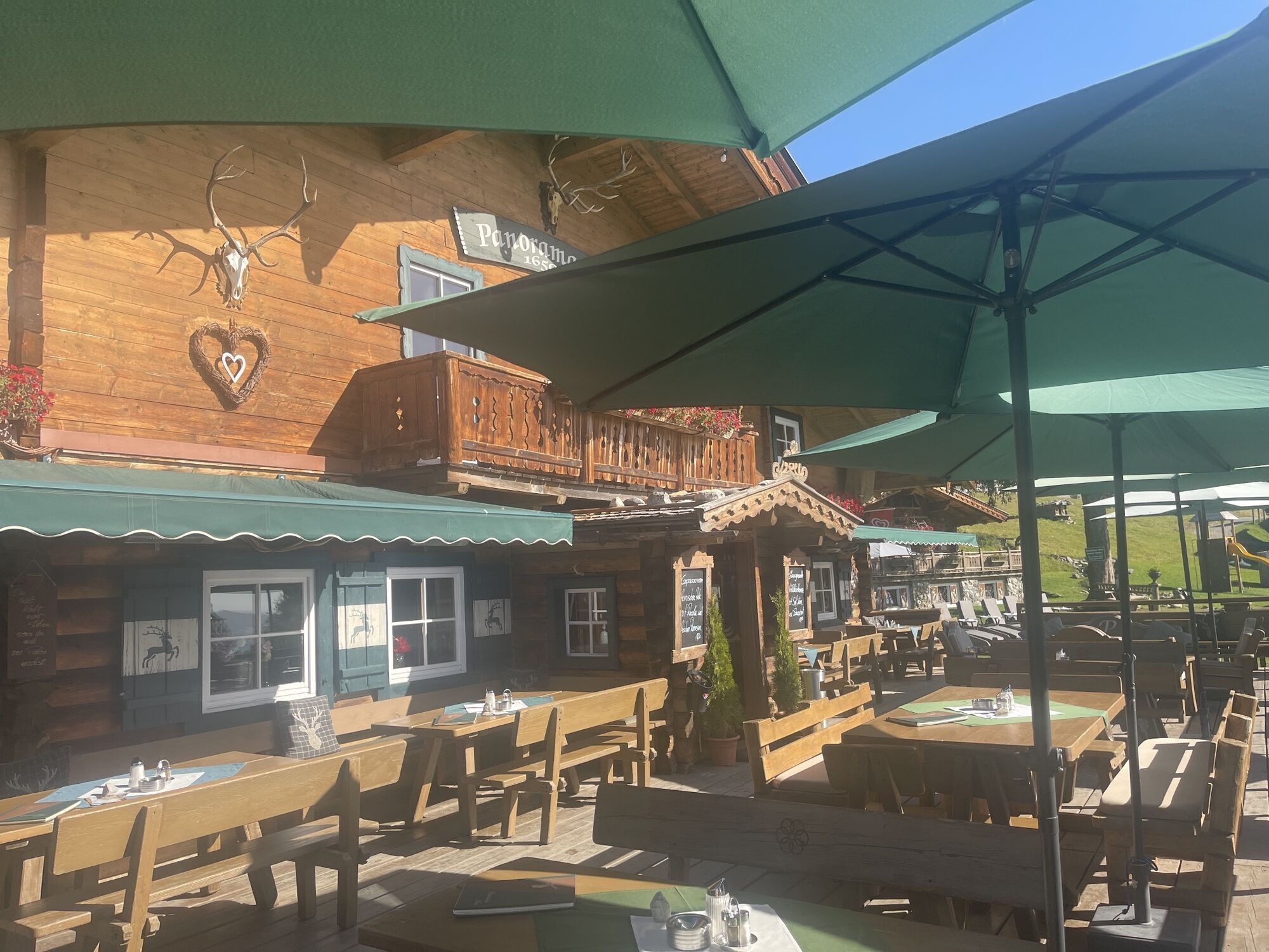
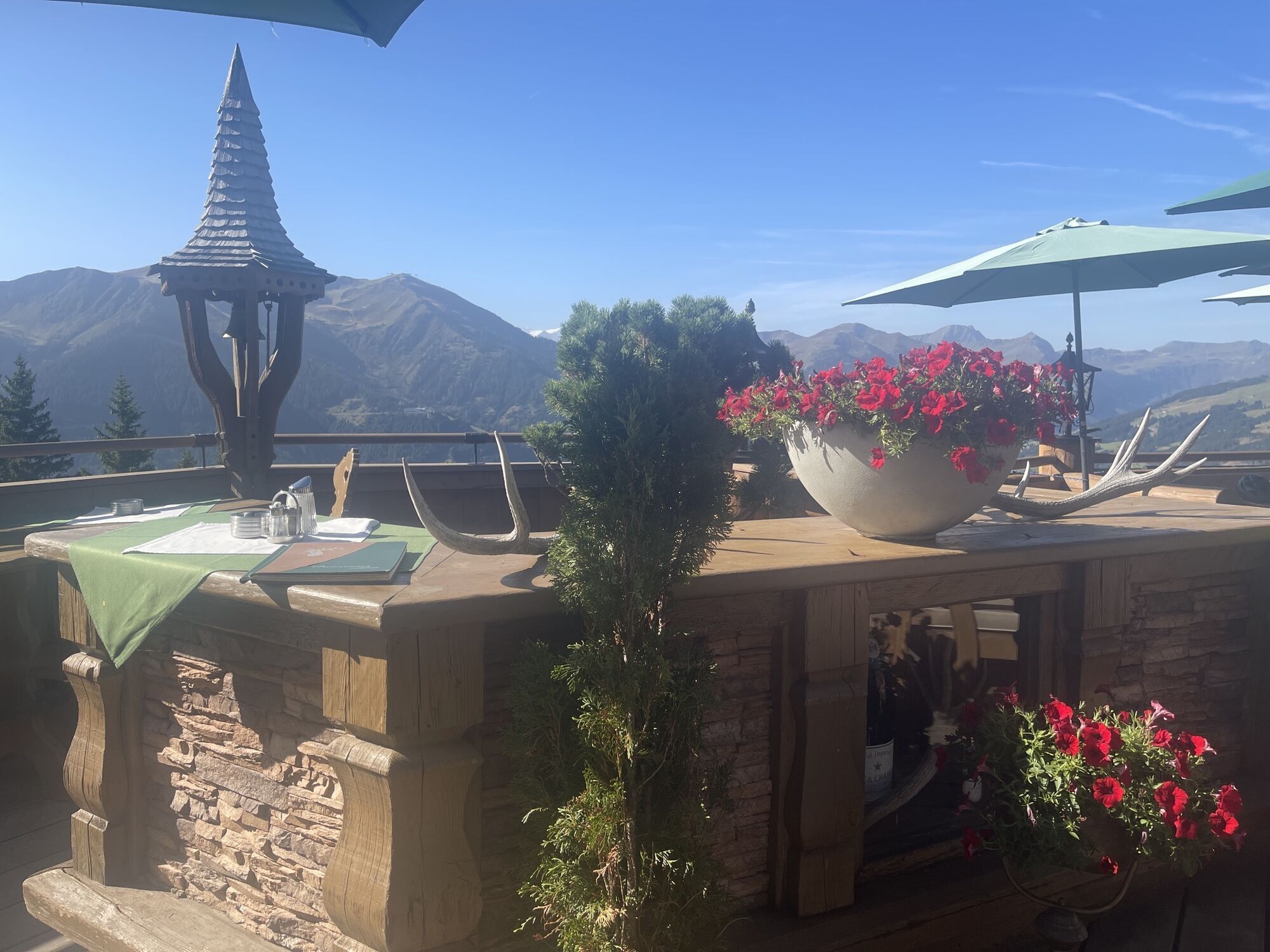

The start is at the Schattberg X-Press in Saalbach. Right at the cable car you cross the Saalach and cycle down the Glemmtal cycle path to the Bergerkreuz district. Here, you turn left over the bridge,...
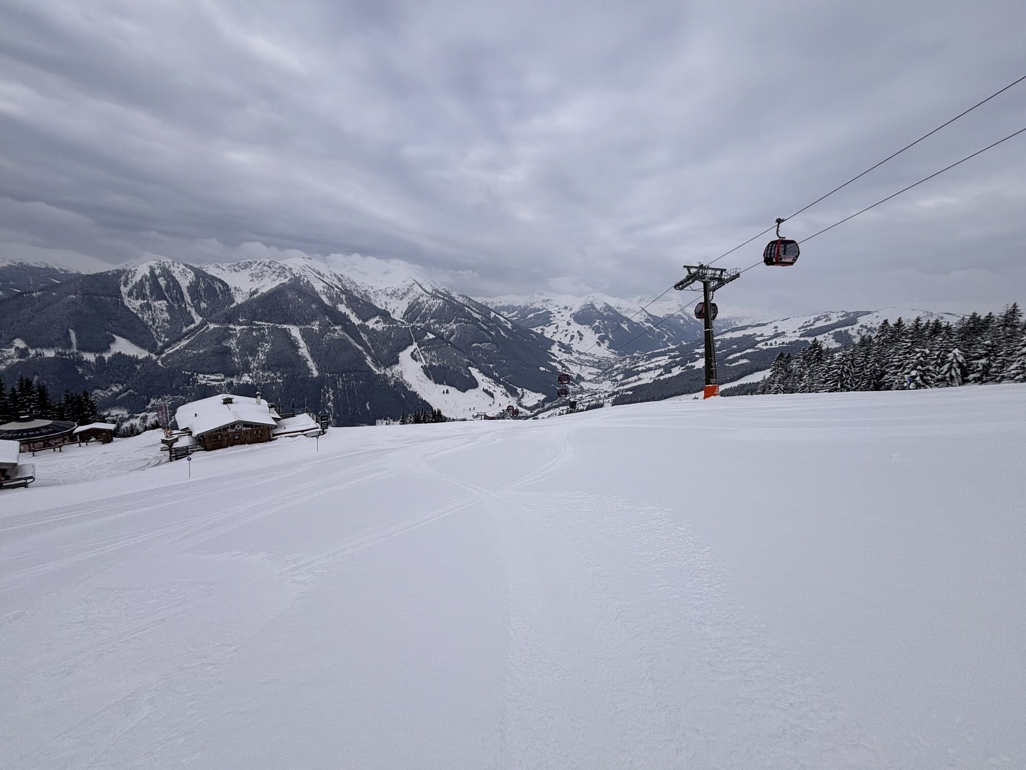
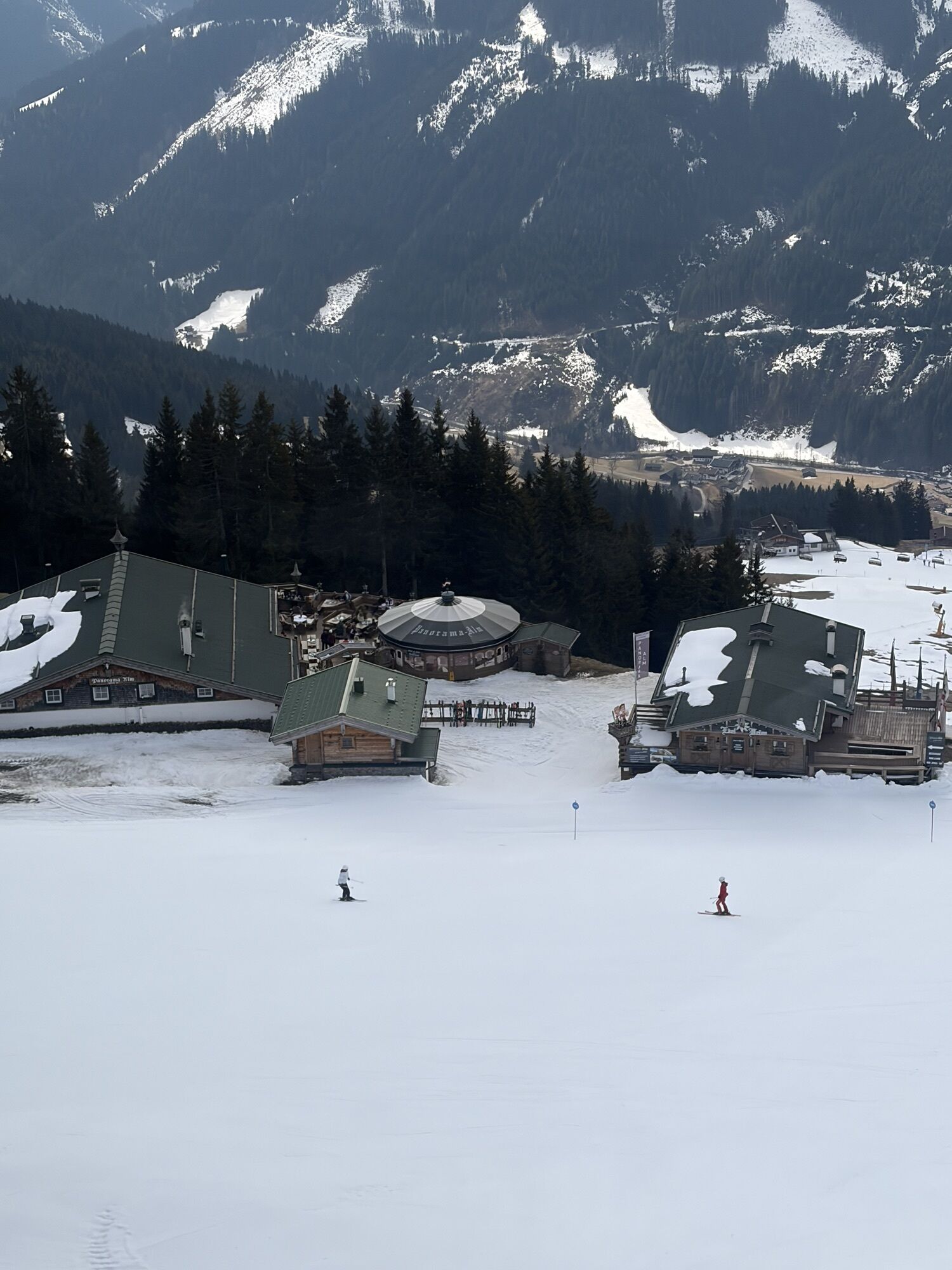
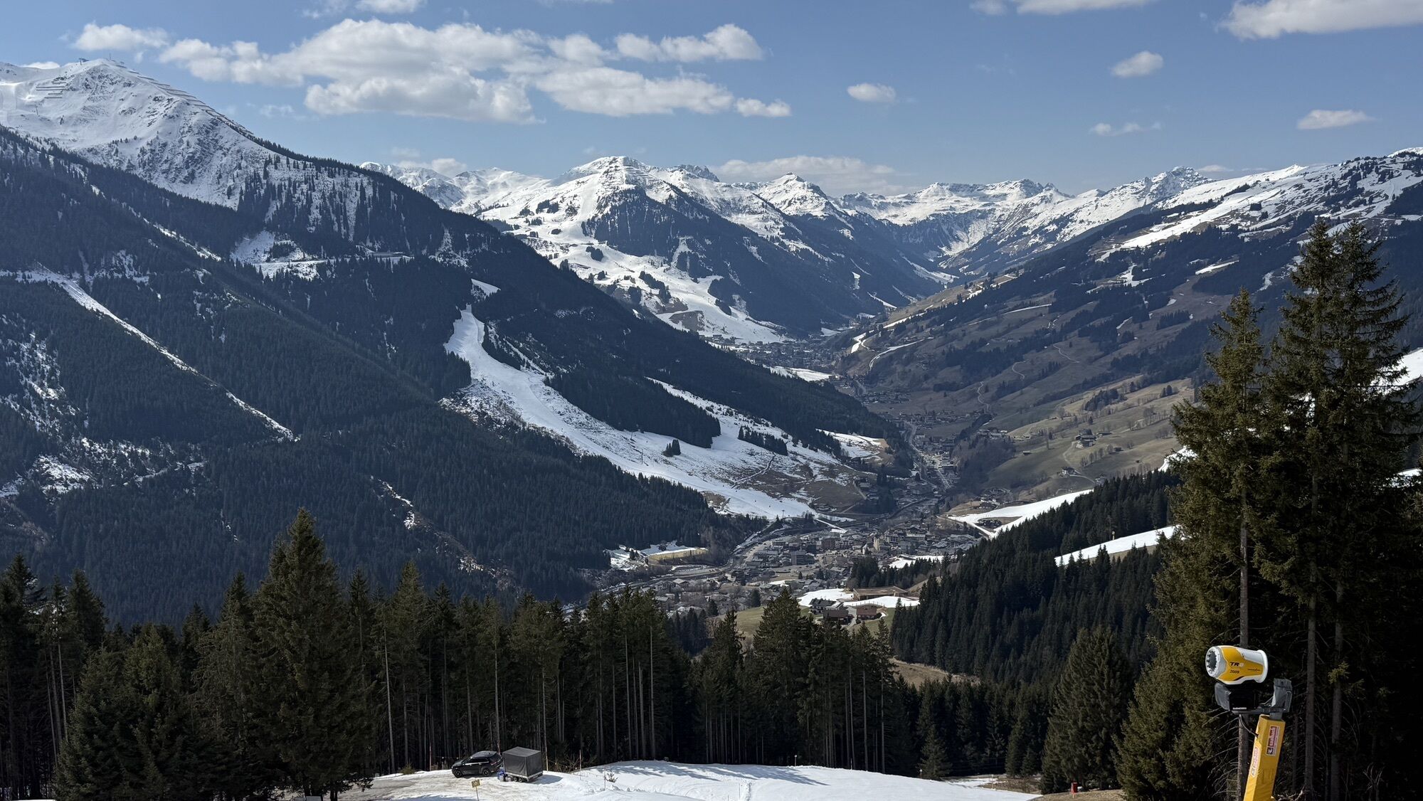
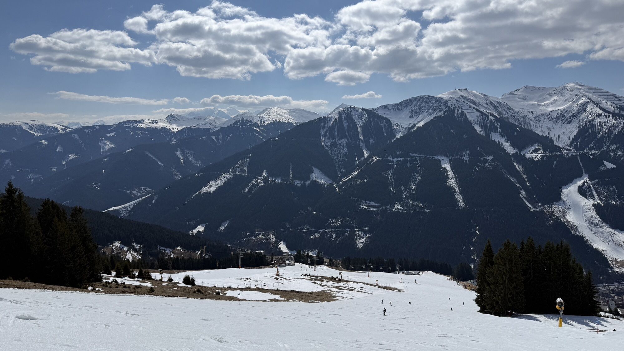
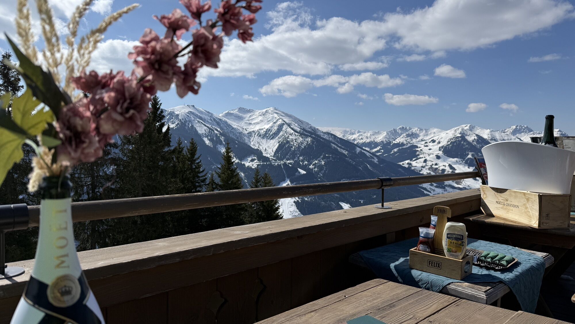
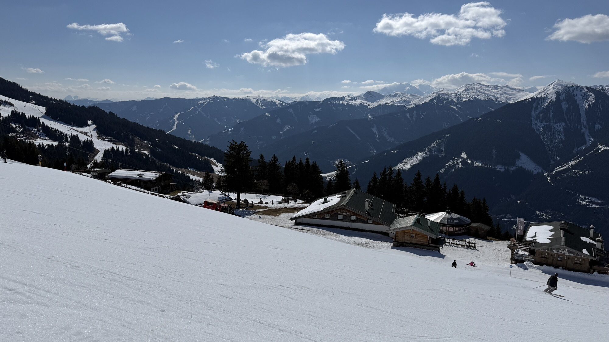
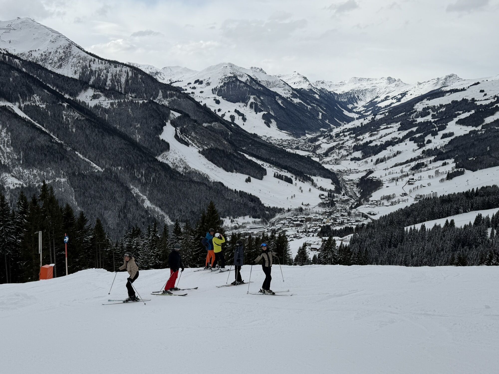
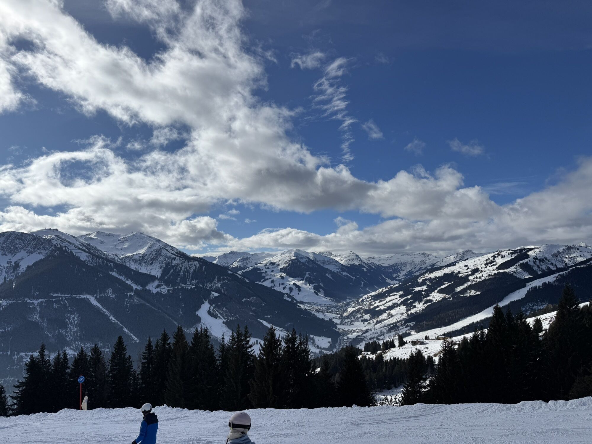
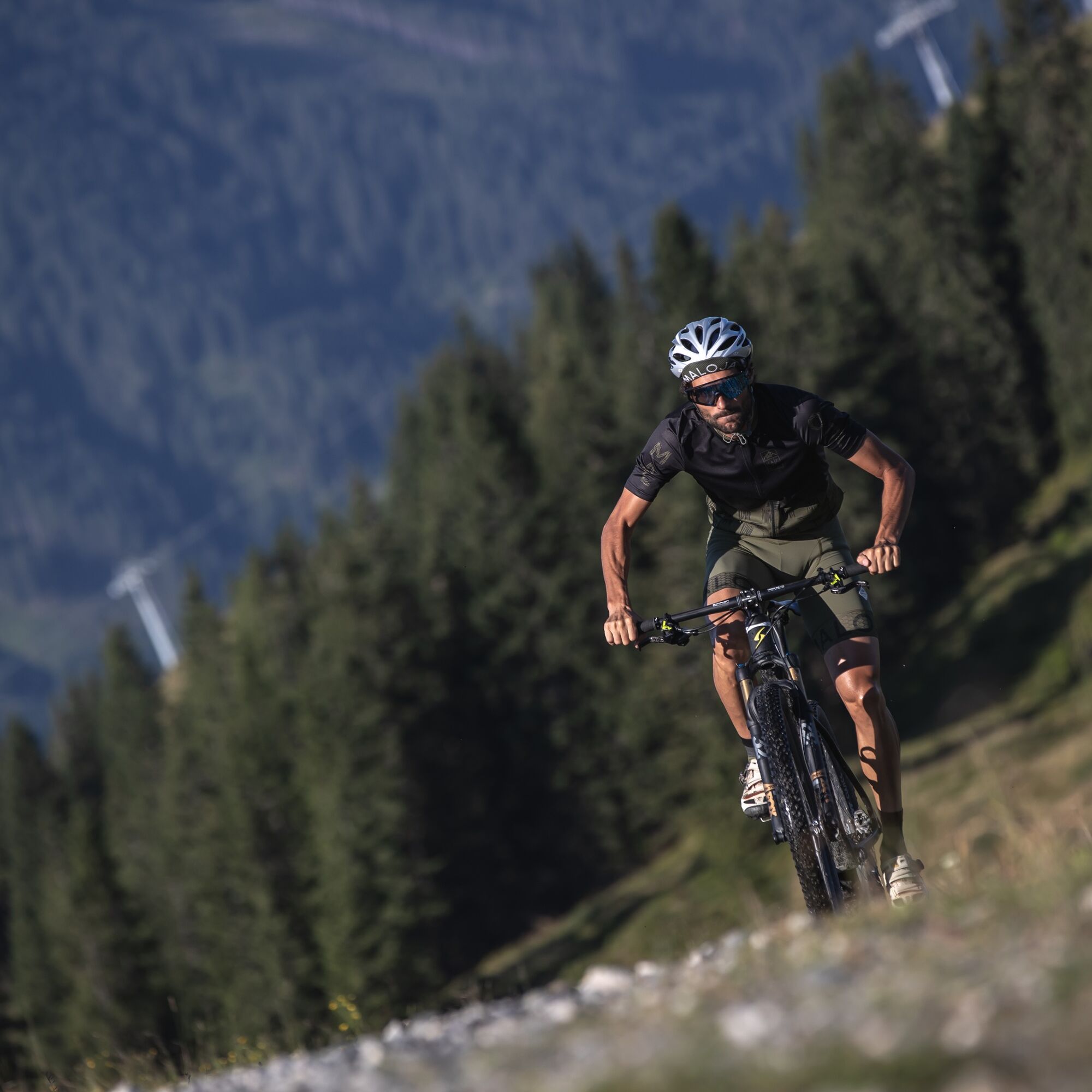
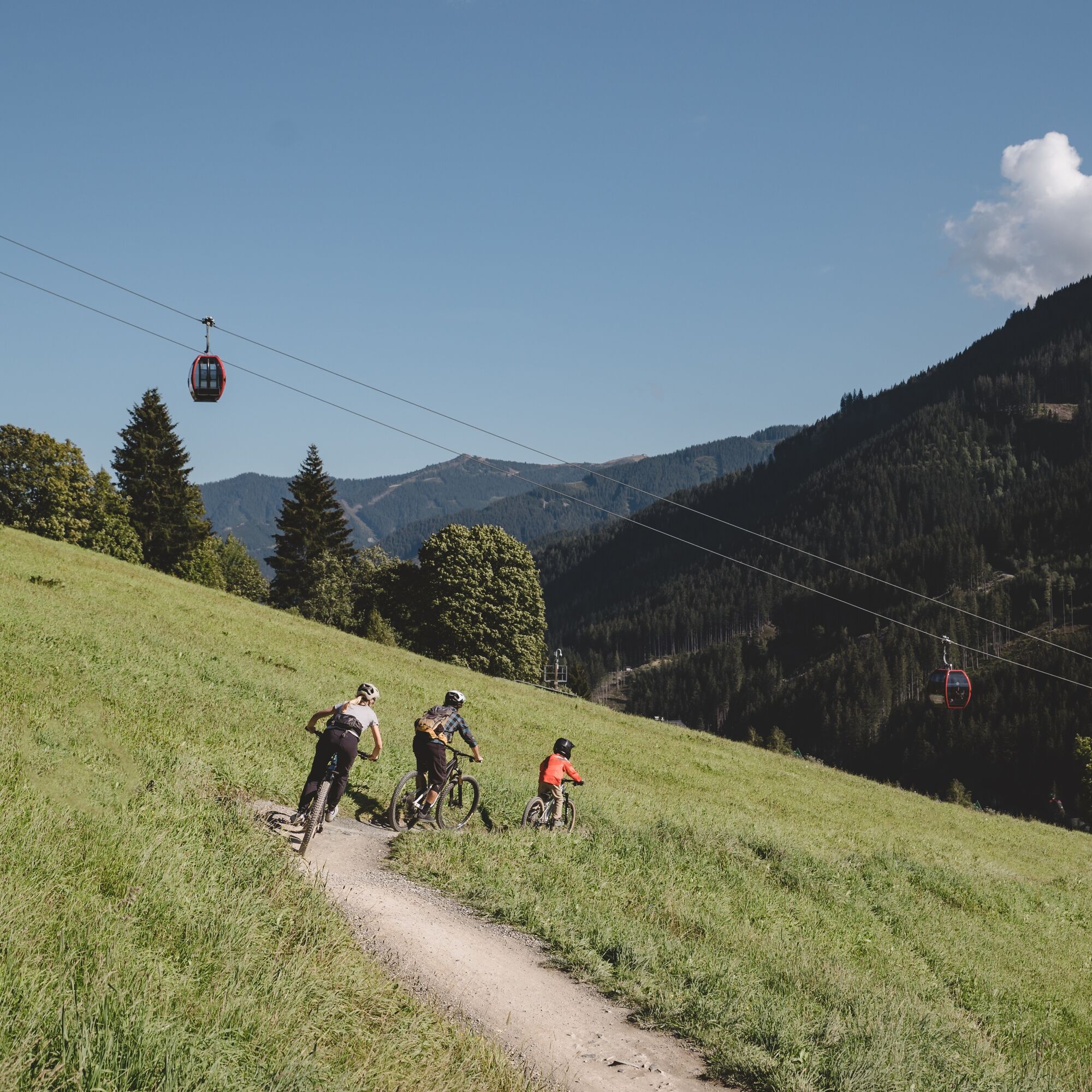
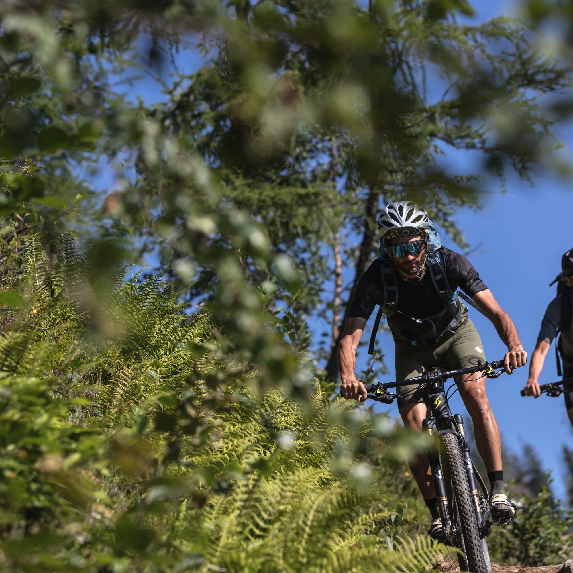
The start is at the Schattberg X-Press in Saalbach. Right at the cable car you cross the Saalach and cycle down the Glemmtal cycle path to the Bergerkreuz district. Here, you turn left over the bridge, cross the main road and follow the paved Bergerkreuzweg uphill. First on asphalt, later on gravel, the route leads uphill with a consistent gradient and many curves. You pass the Bergeralm and the Thurneralm and reach the highest point of the route after a total of 680 m of altitude gain at the Panorama Alm. From here, a quick gravel descent starts towards the northwest, past the Wirtsalm to the Spielberghaus. Either at the beginning via the short but fine Höllen Trail, or straight on the forest road along the Spielbergbach, it then goes back to the starting point in Saalbach.


Download the route as a single map HERE !


Webové kamery z prehliadky
-
Schattberg - West
-
Asitz Gipfel
-
Schattberg Westgipfel
-
Asitz Mittelstation
-
Kohlmais Tal
-
Hinterglemm - Saalbach
-
Großer Asitz / Gipfelkreuz
-
Saalbach-Hinterglemm - Schattberg Ost
-
Saalbach-Hinterglemm - Wildenkarkogel
-
Saalbach - Hotel Alpinresort
-
Zwölferkogel
-
Wildenkarkogel
-
Saalbach-Hinterglemm - Kohlmais
-
Kohlmaiskopf
-
Leogang - Grosser Asitz
-
Wohlfühlhotel-Johanneshof
-
Eberharthof - Saalbach-Hinterglemm



Obľúbené výlety v okolí
-
4,3
Maurerkogel (Top)
Turistika 10,5 km -
4,6
Lettlkaser
strednáTuristika 8,80 km -
4,7
Panorama route 3 peaks and 2 lakes
strednáTuristika 7,21 km -
5,0
Leo’s play hiking trail
svetloTematická trasa 4,89 km -
4,2
Passauer Hütte
ťažkéTuristika 8,27 km -
4,1
Berg der Sinne
svetloTuristika 4,39 km -
4,5
Birnbachloch
strednáTuristika 6,35 km -
4,6
Birnbachloch Leogang, Österreich
strednáTuristika 5,18 km -
4,5
Areitweg - Plettsauerkopf - Rundwanderung
strednáTuristika 11,8 km -
4,9
Hochsonnberg Runde
strednáMountainbike 59,8 km
Turistika a stopovanie


Nenechajte si ujsť ponuky a inšpiráciu na ďalšiu dovolenku
Vaša e-mailová adresa bol pridaný do poštového zoznamu.


