







SH 71 Schattberg Tour
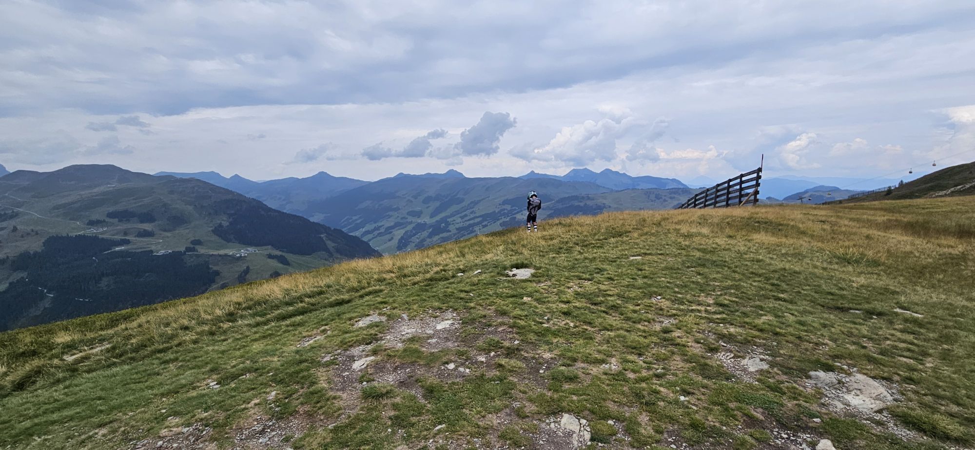
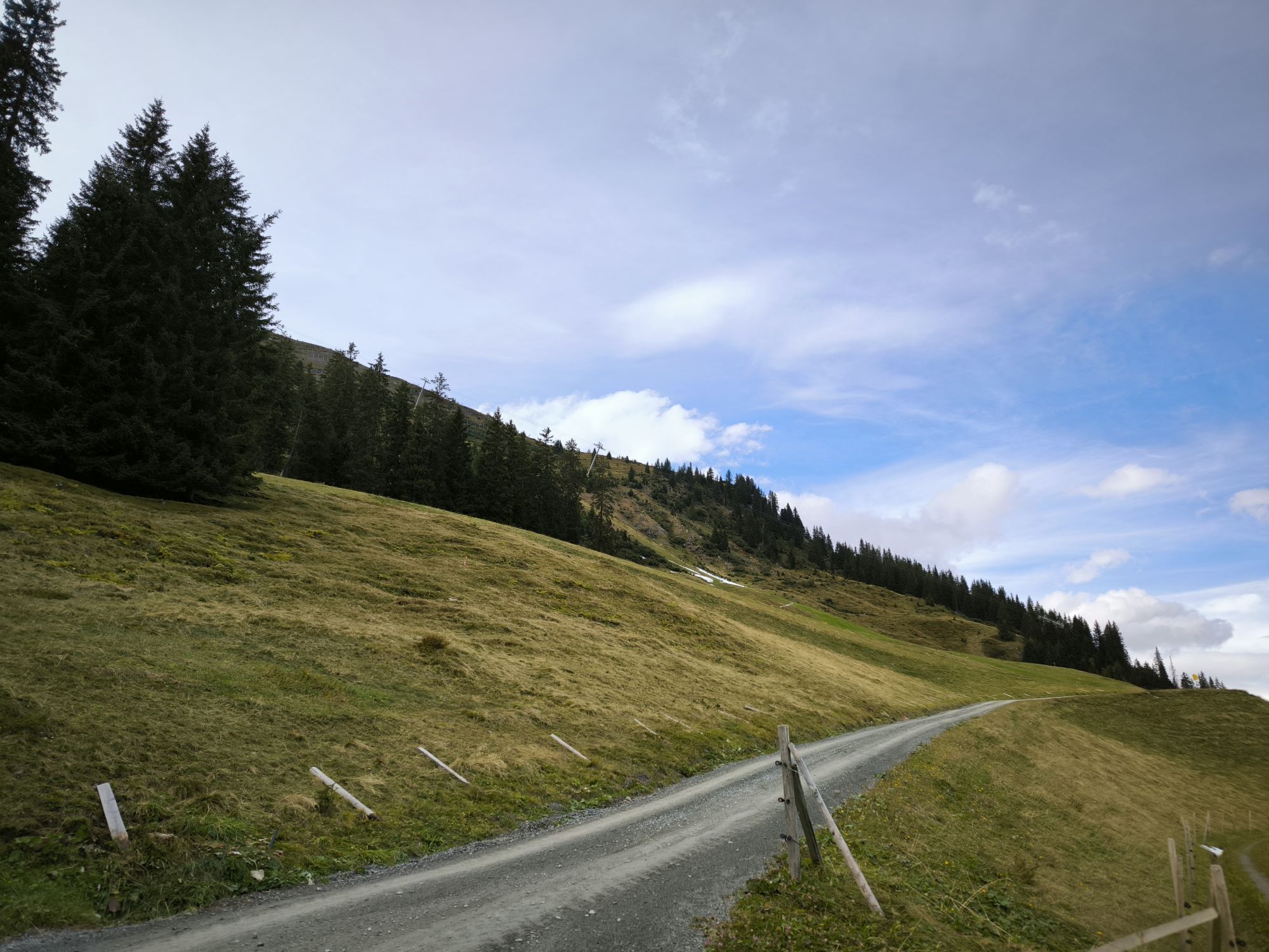
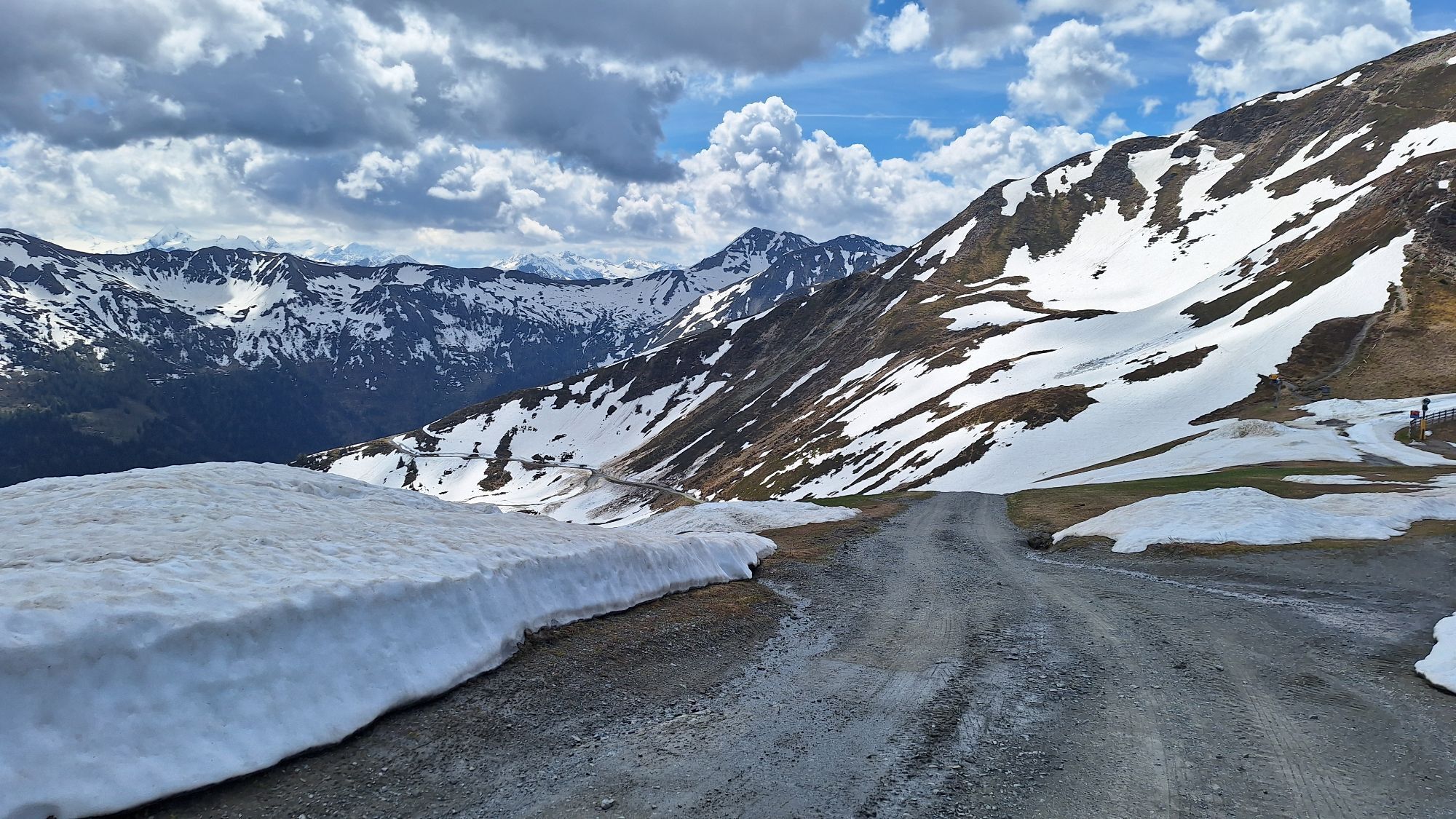
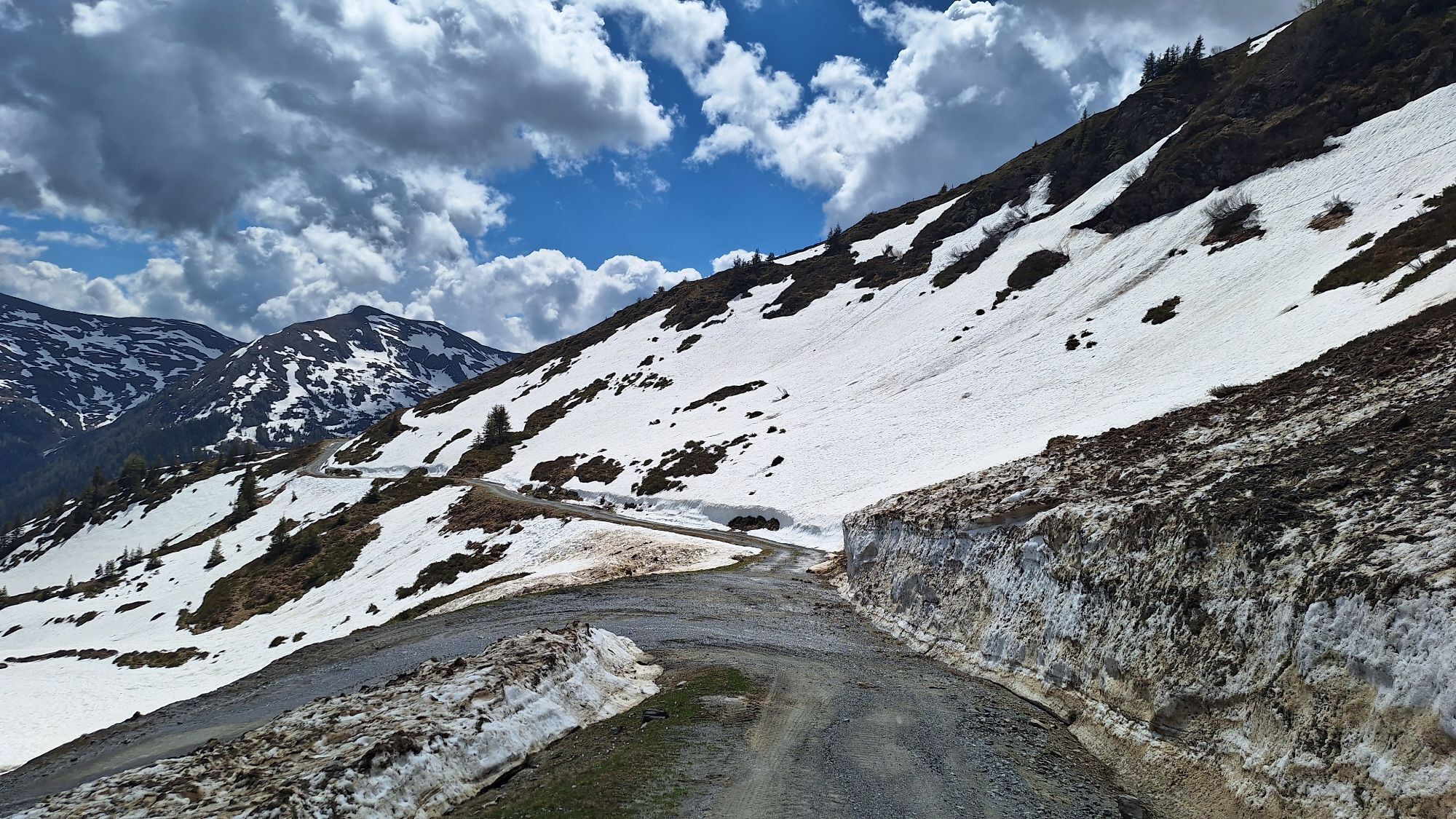

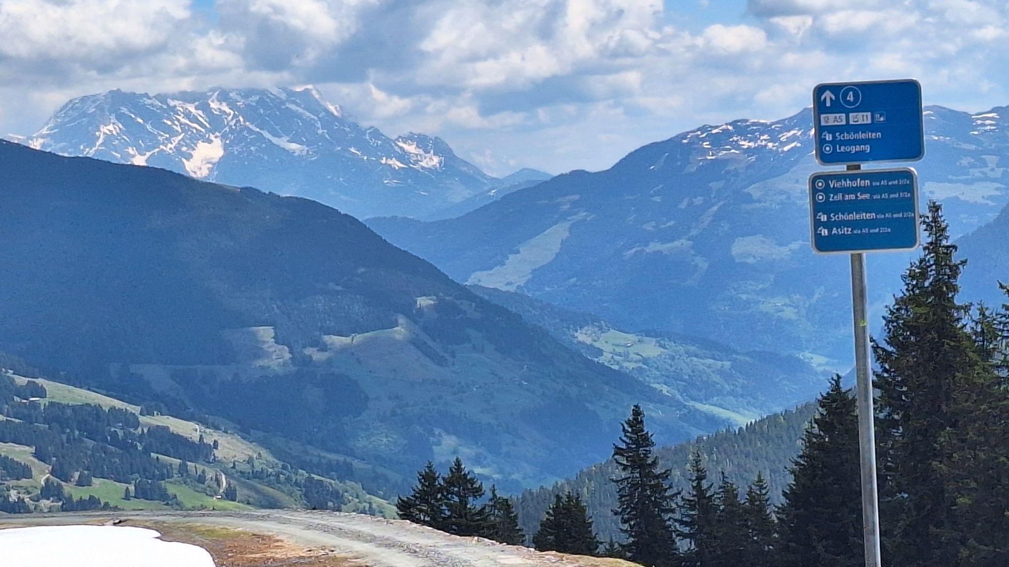
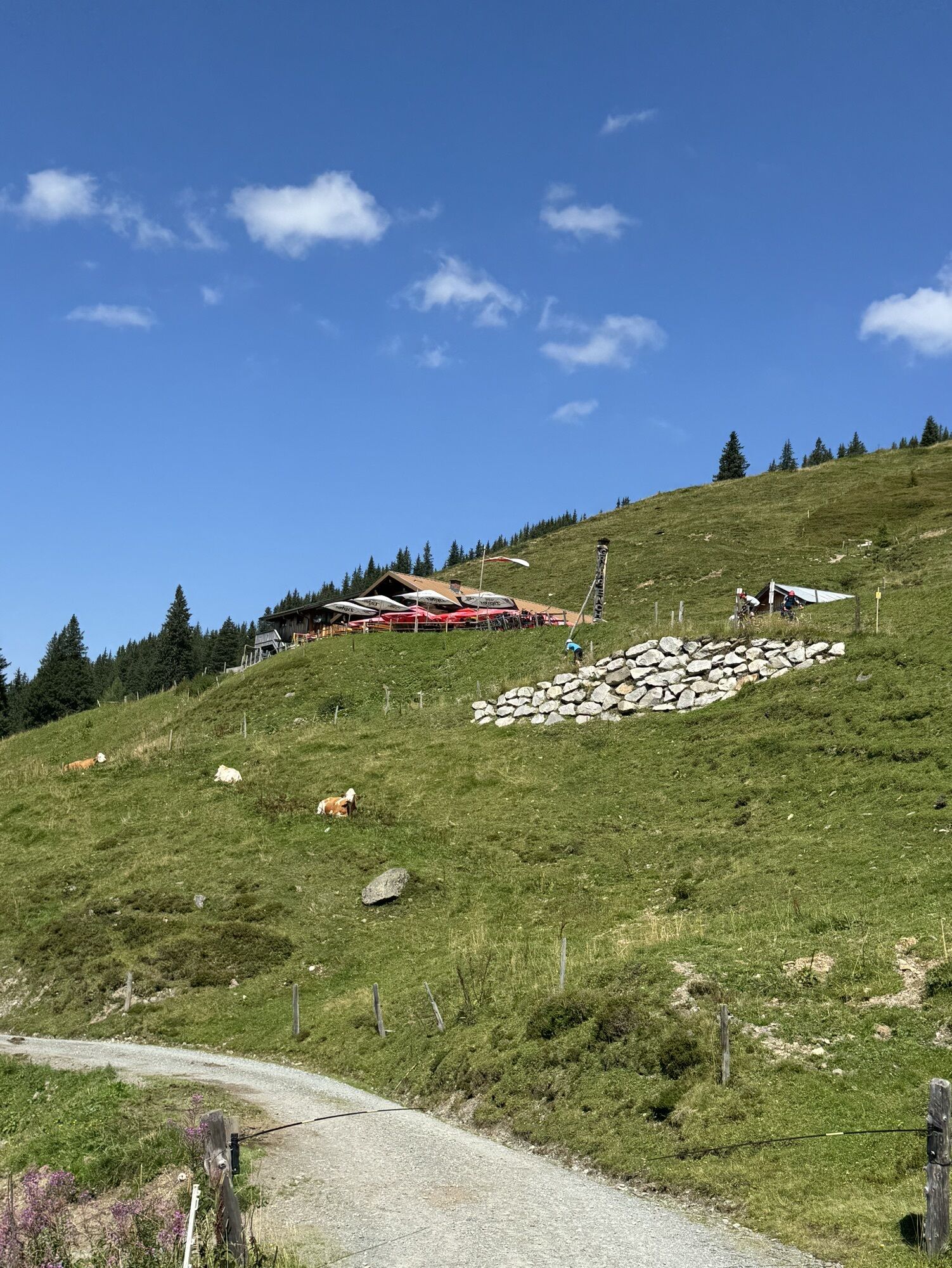
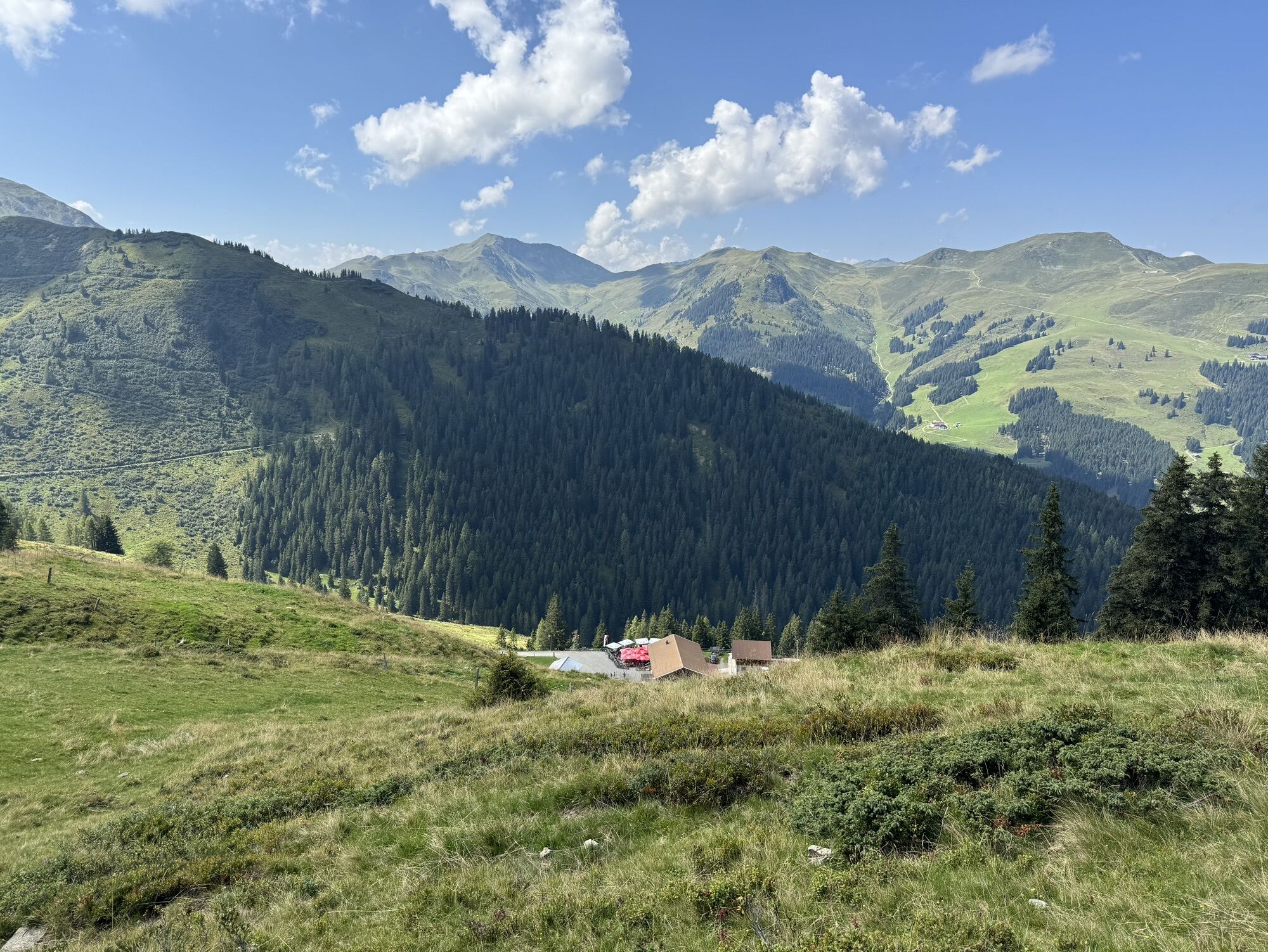
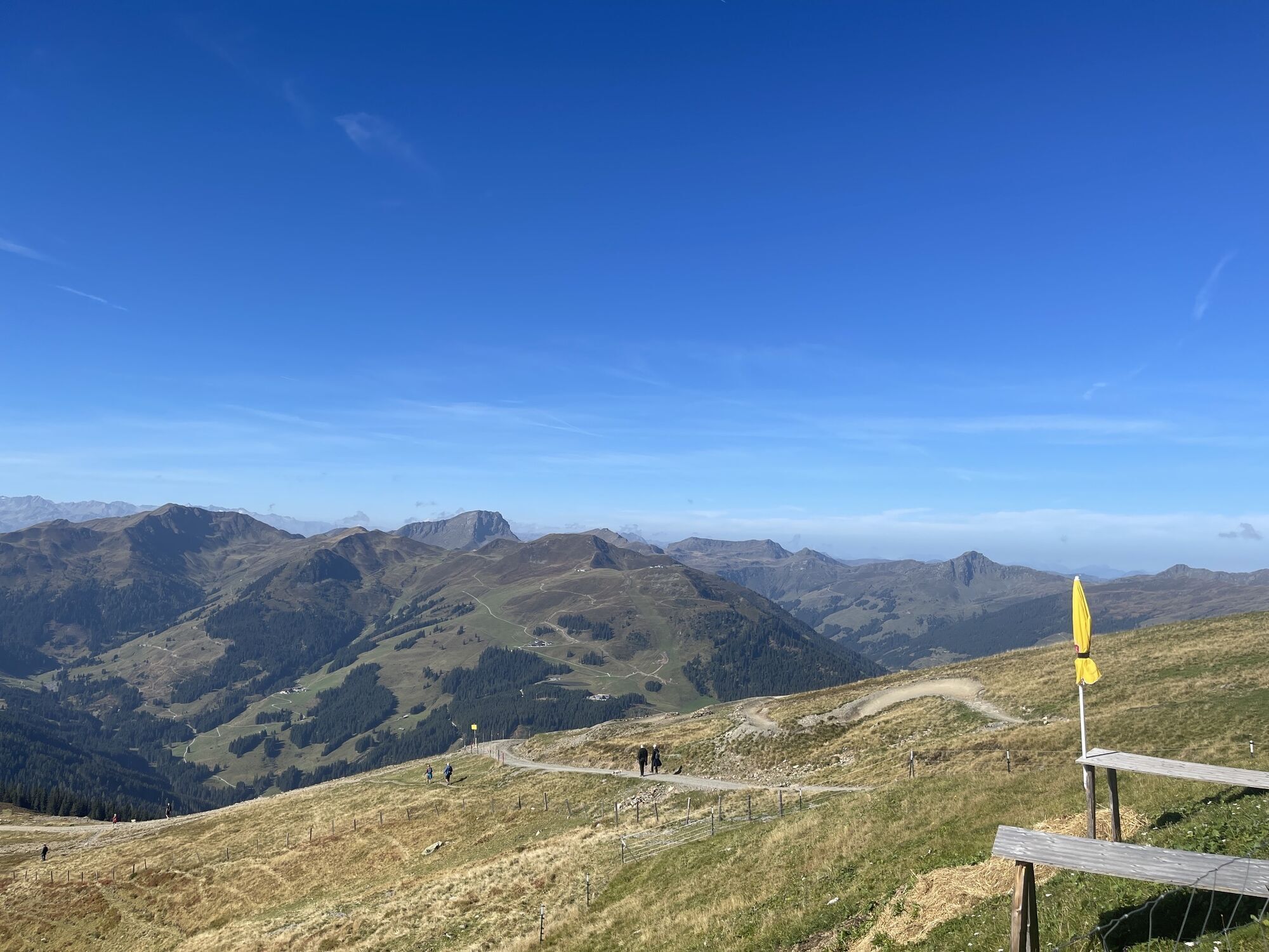
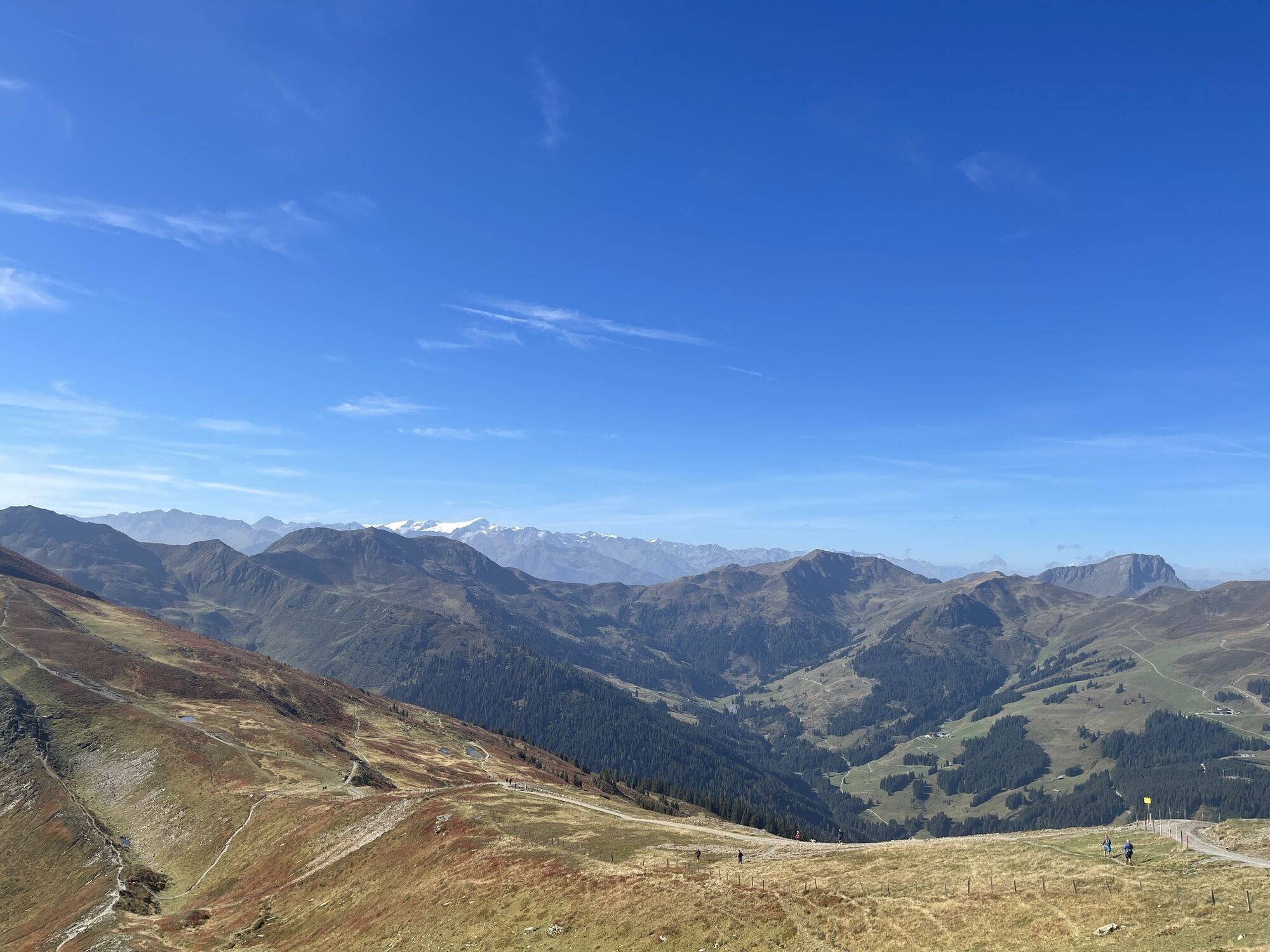
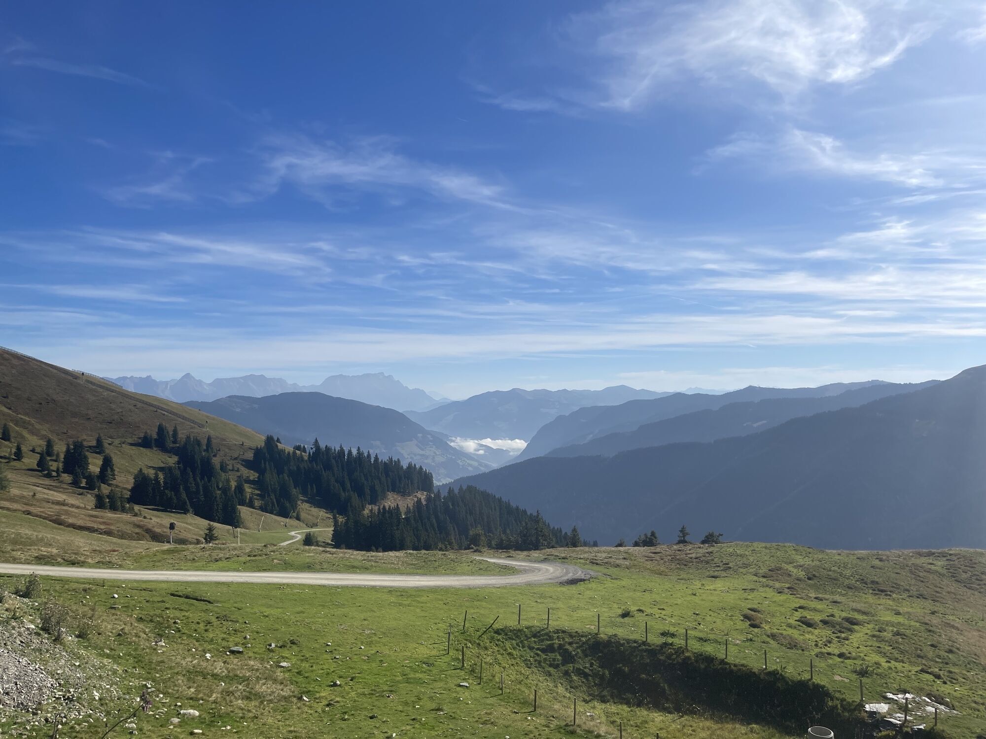
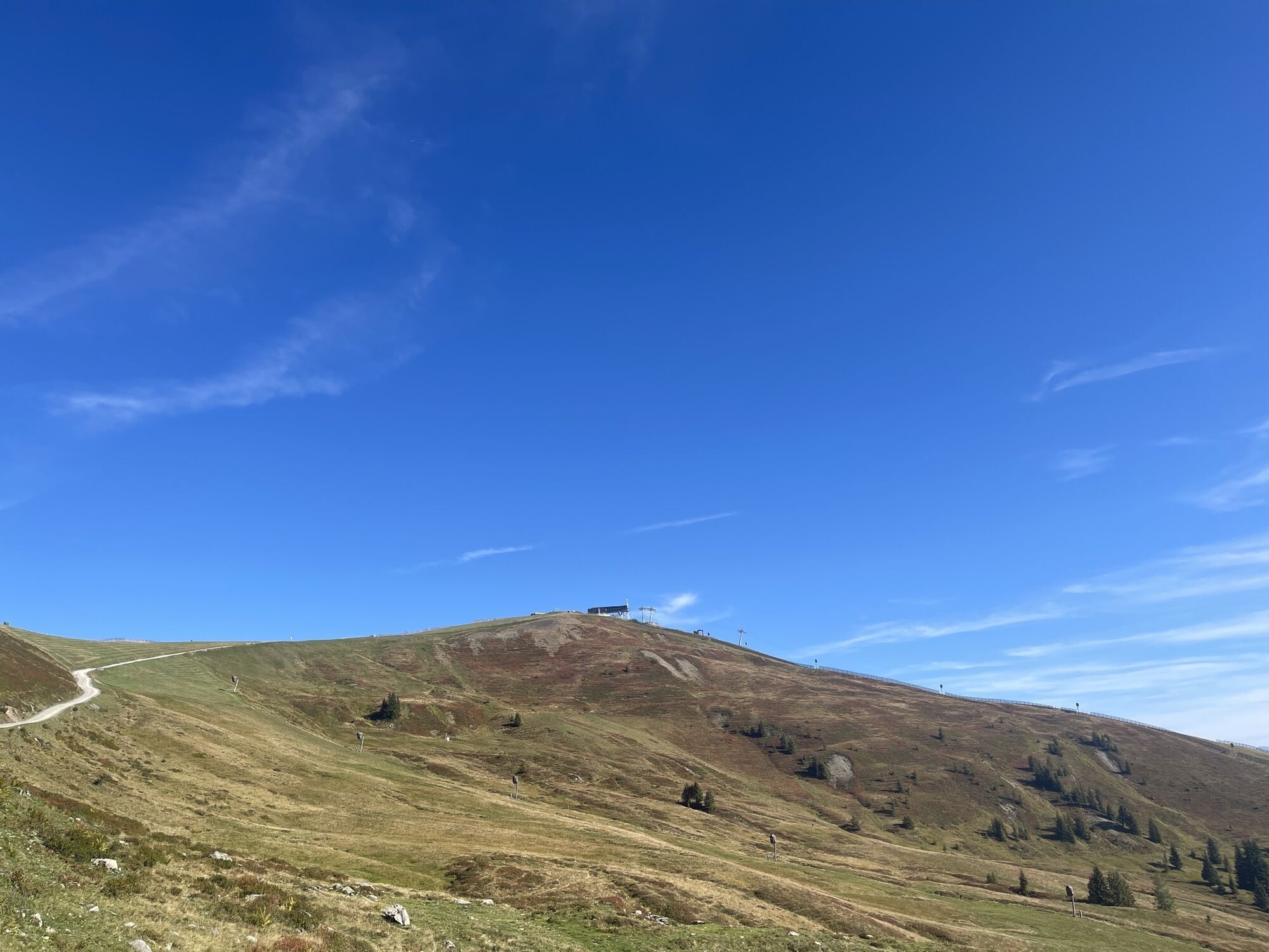
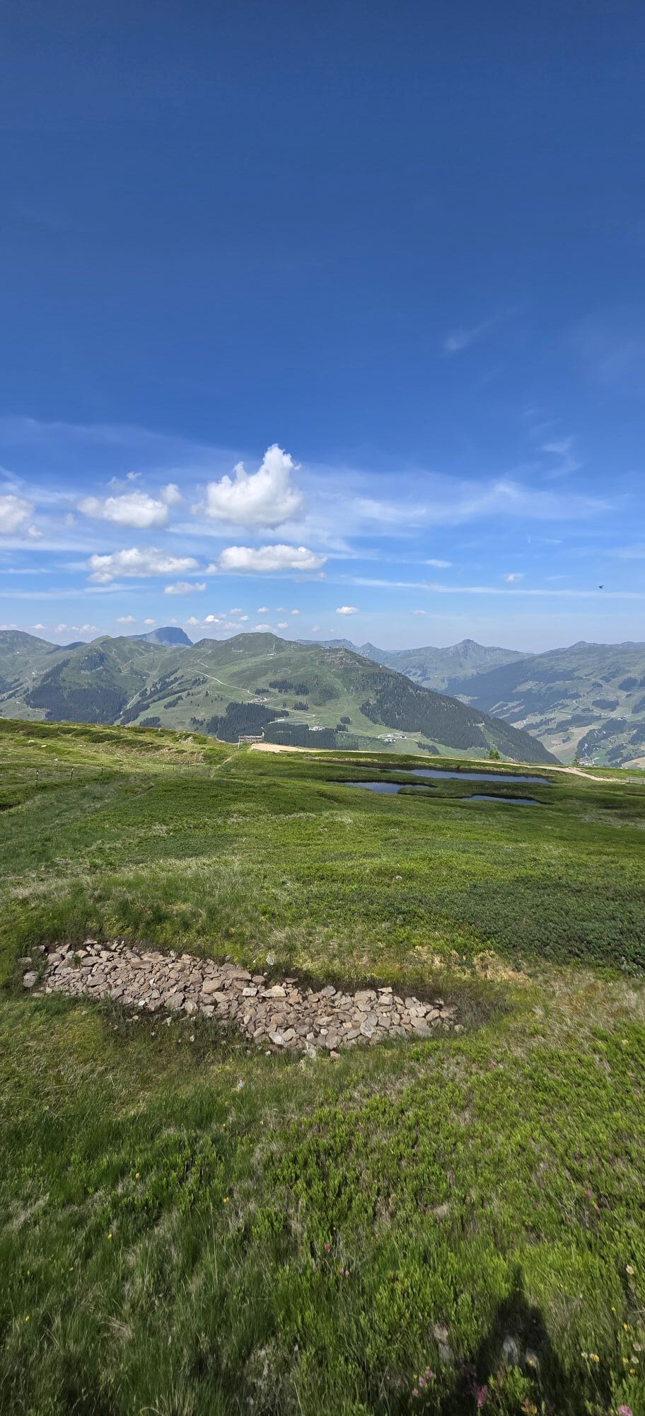
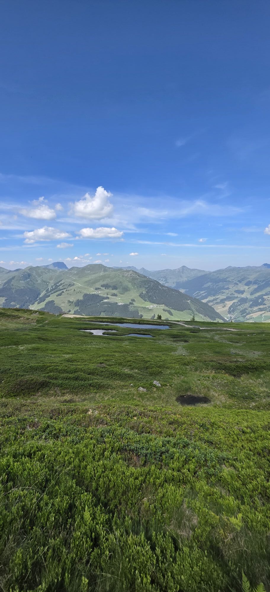
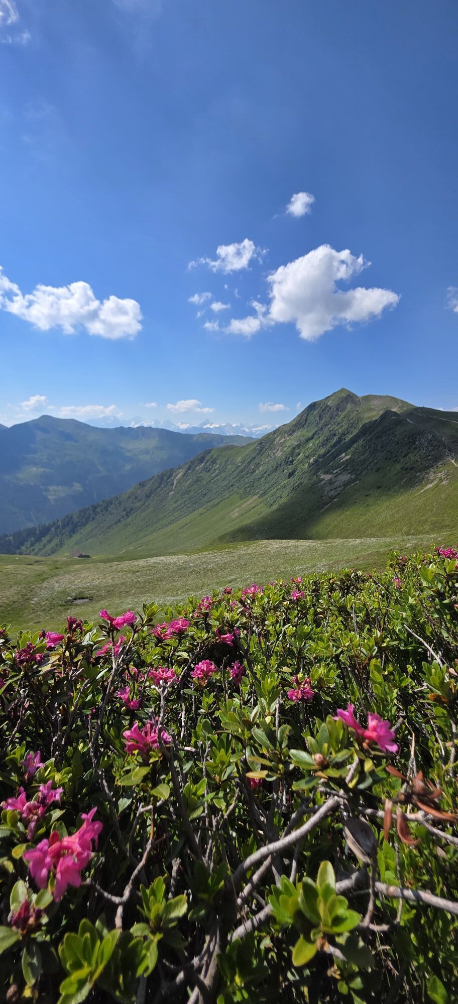
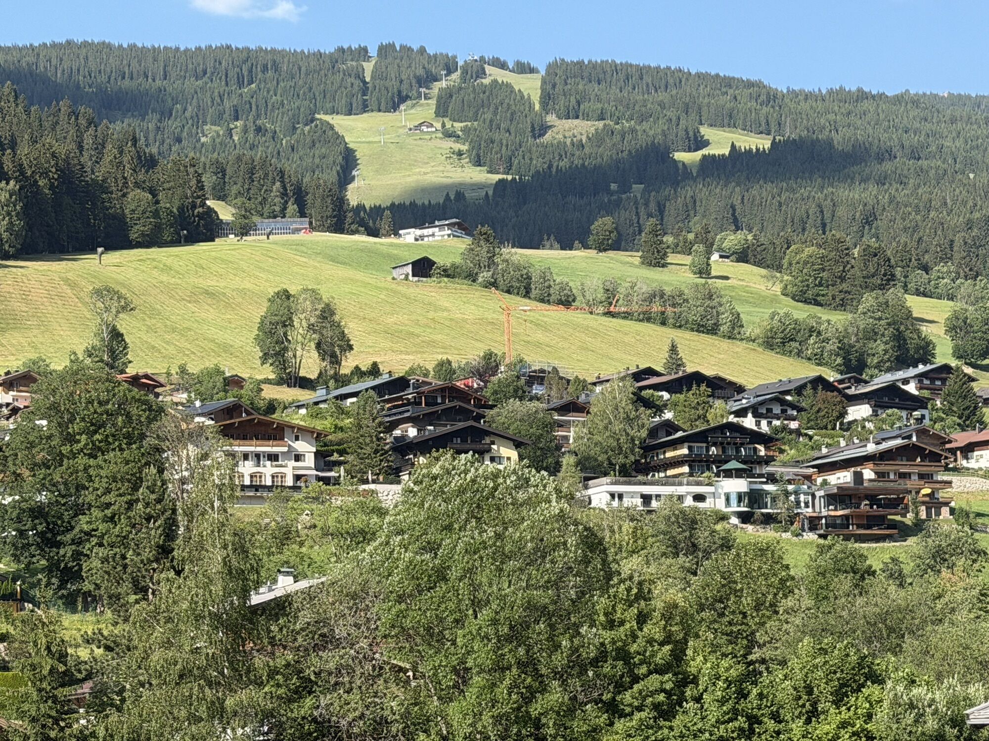
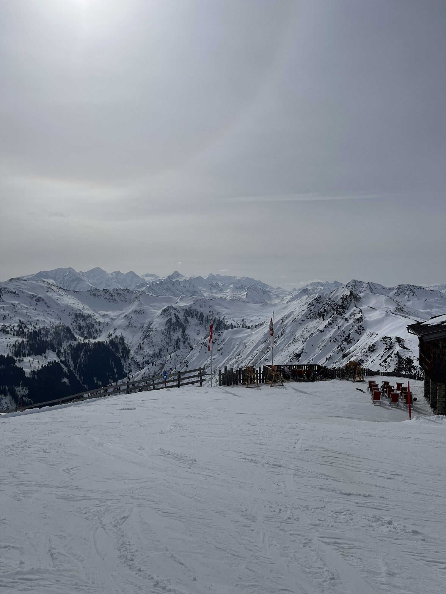
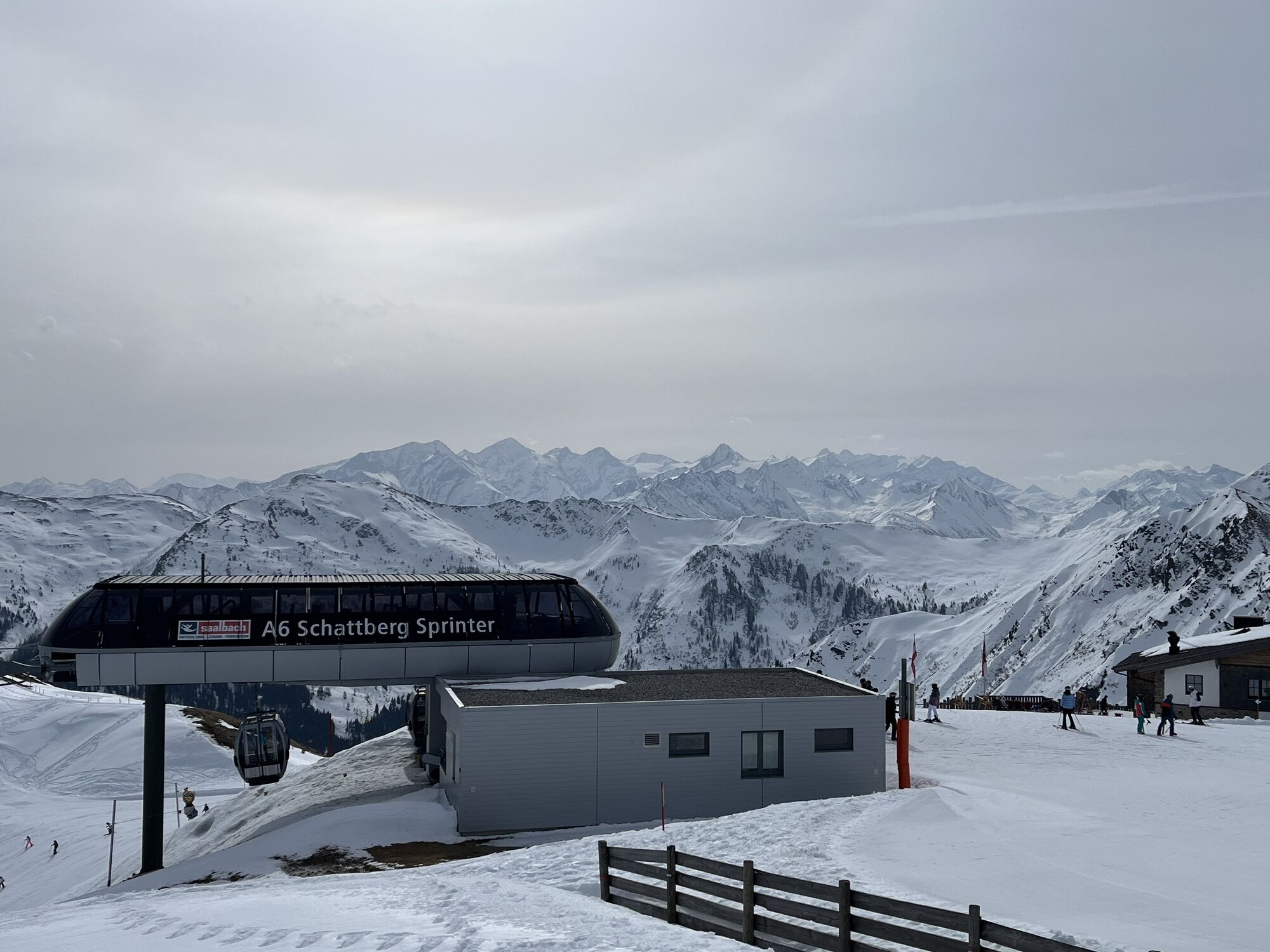
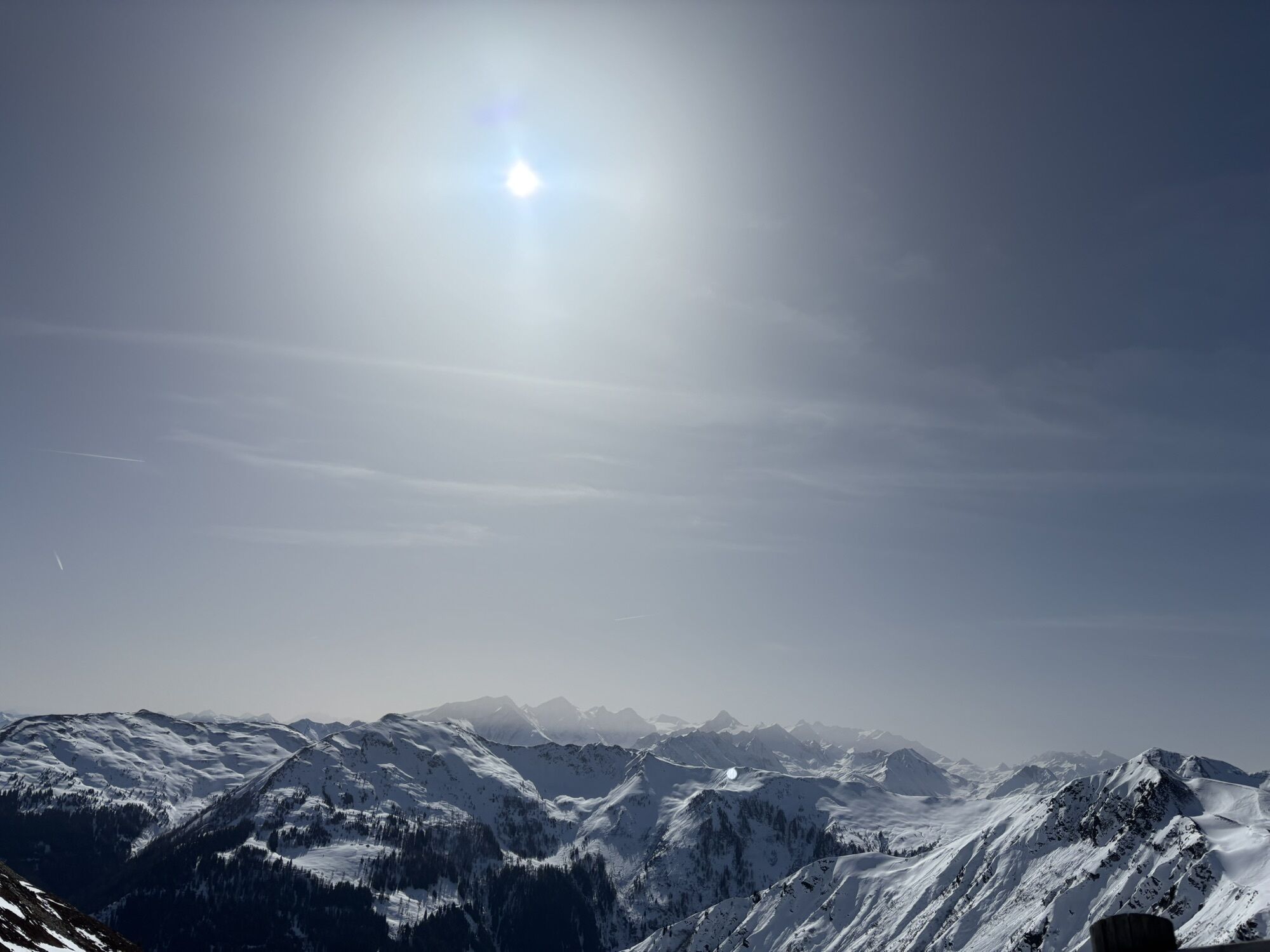
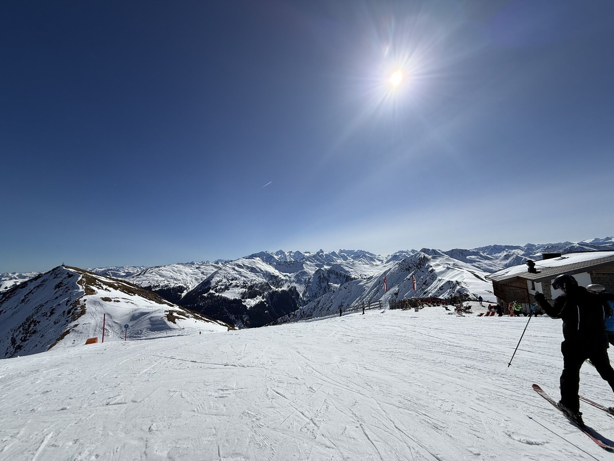
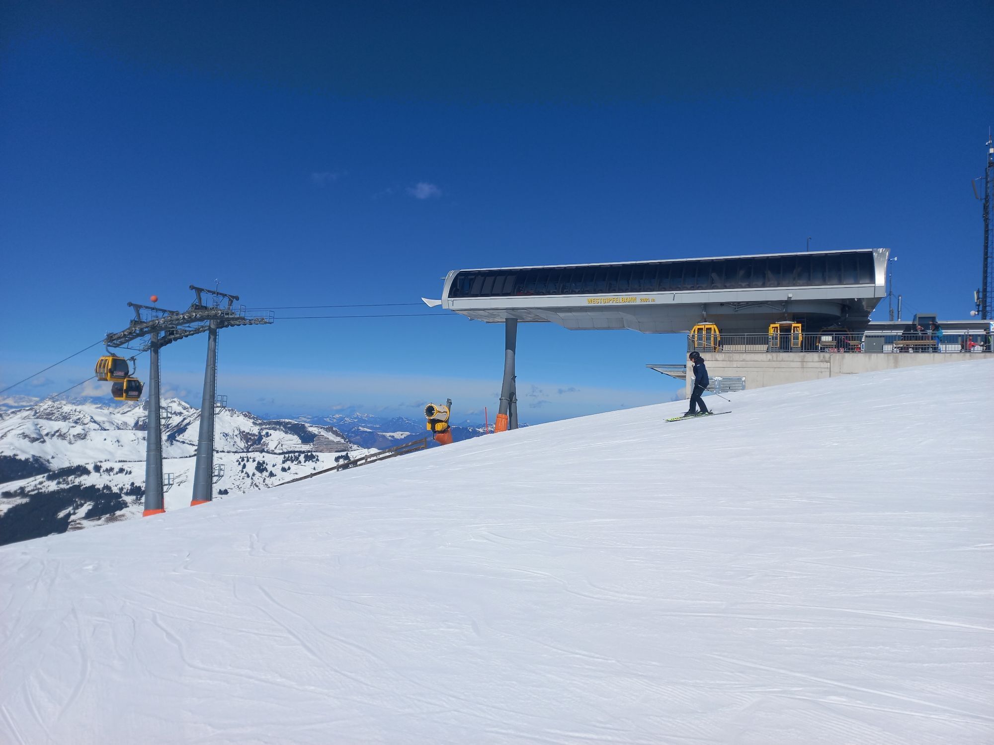
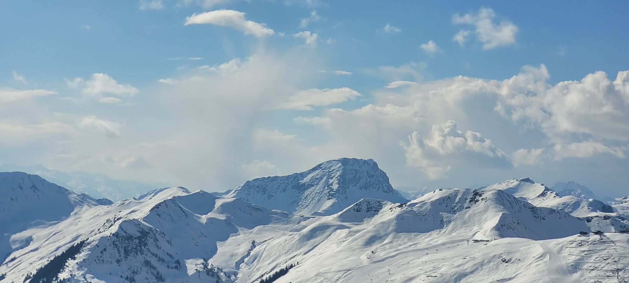
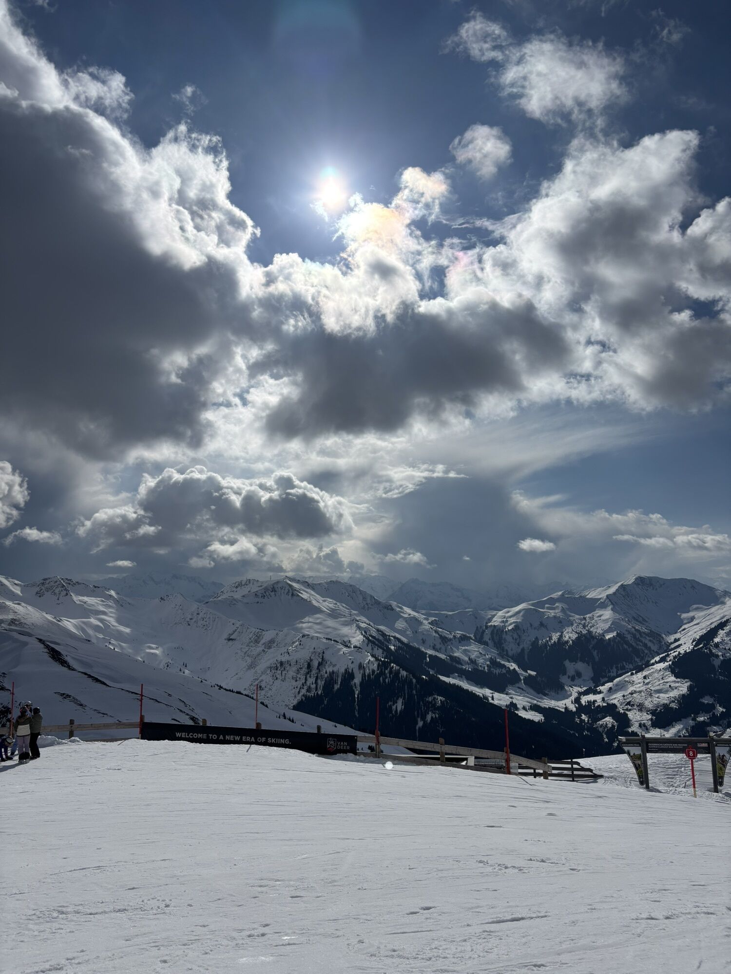
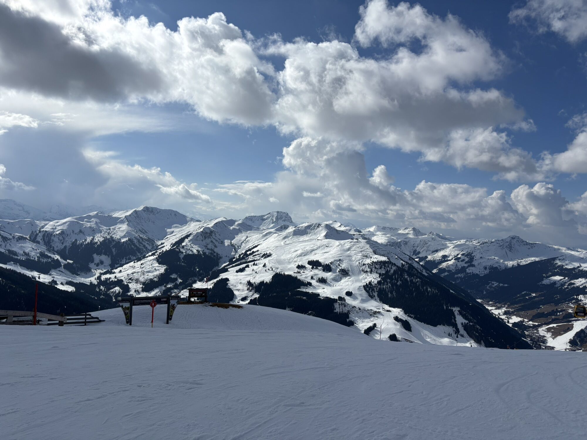
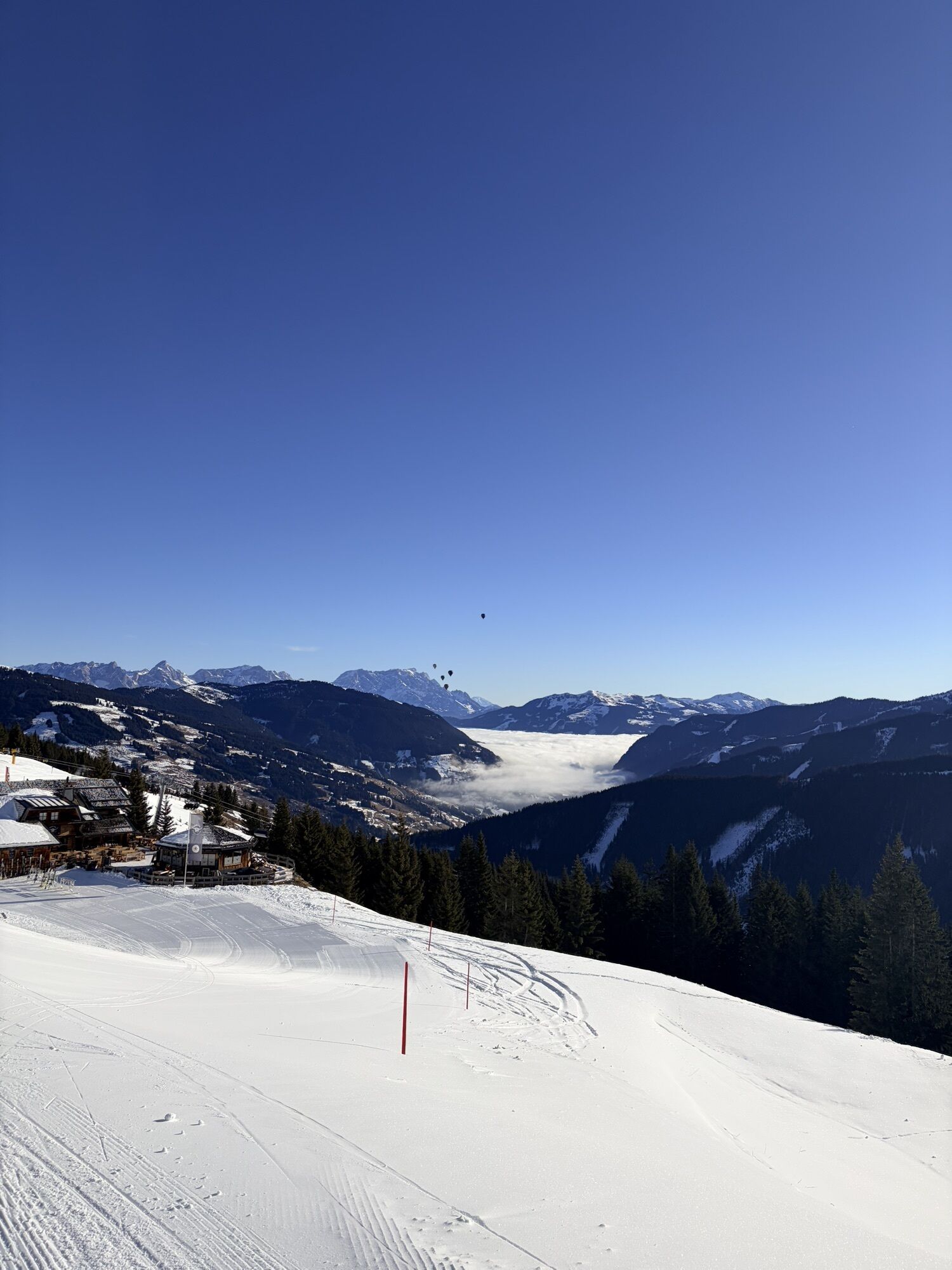
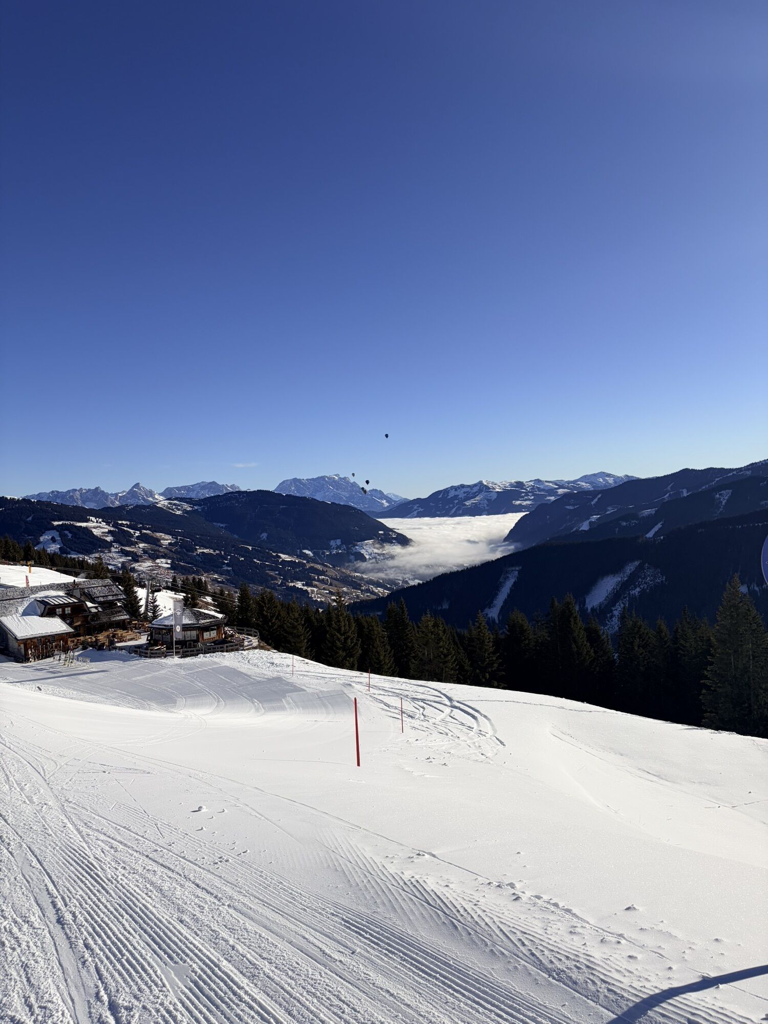
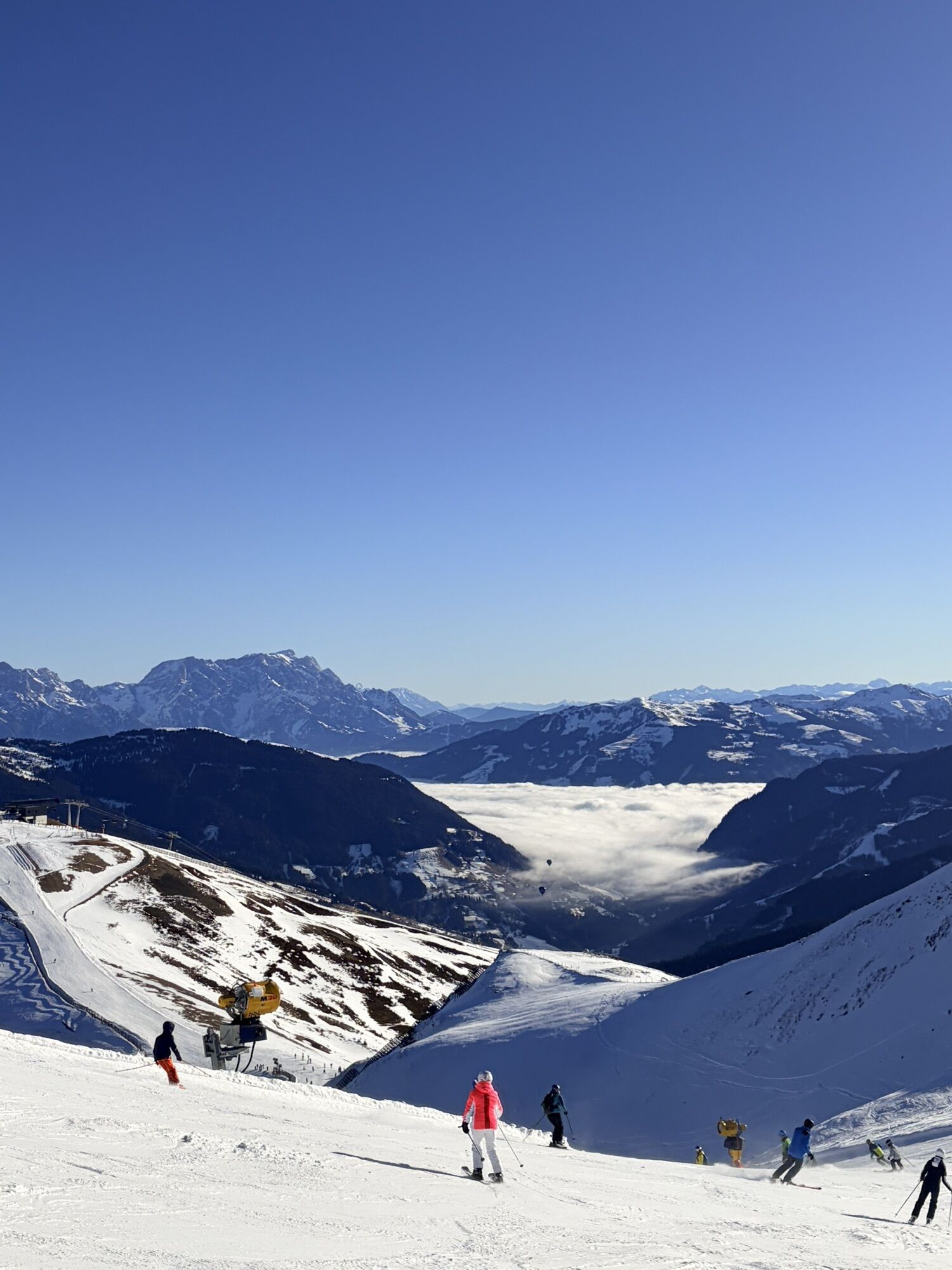
From the Schattberg X-Press, take the Glemmtal cycle path to Jausern and turn right into the Löhnersbachgraben. This is where the long but very varied climb up the Schattberg begins. Many serpentines lead...
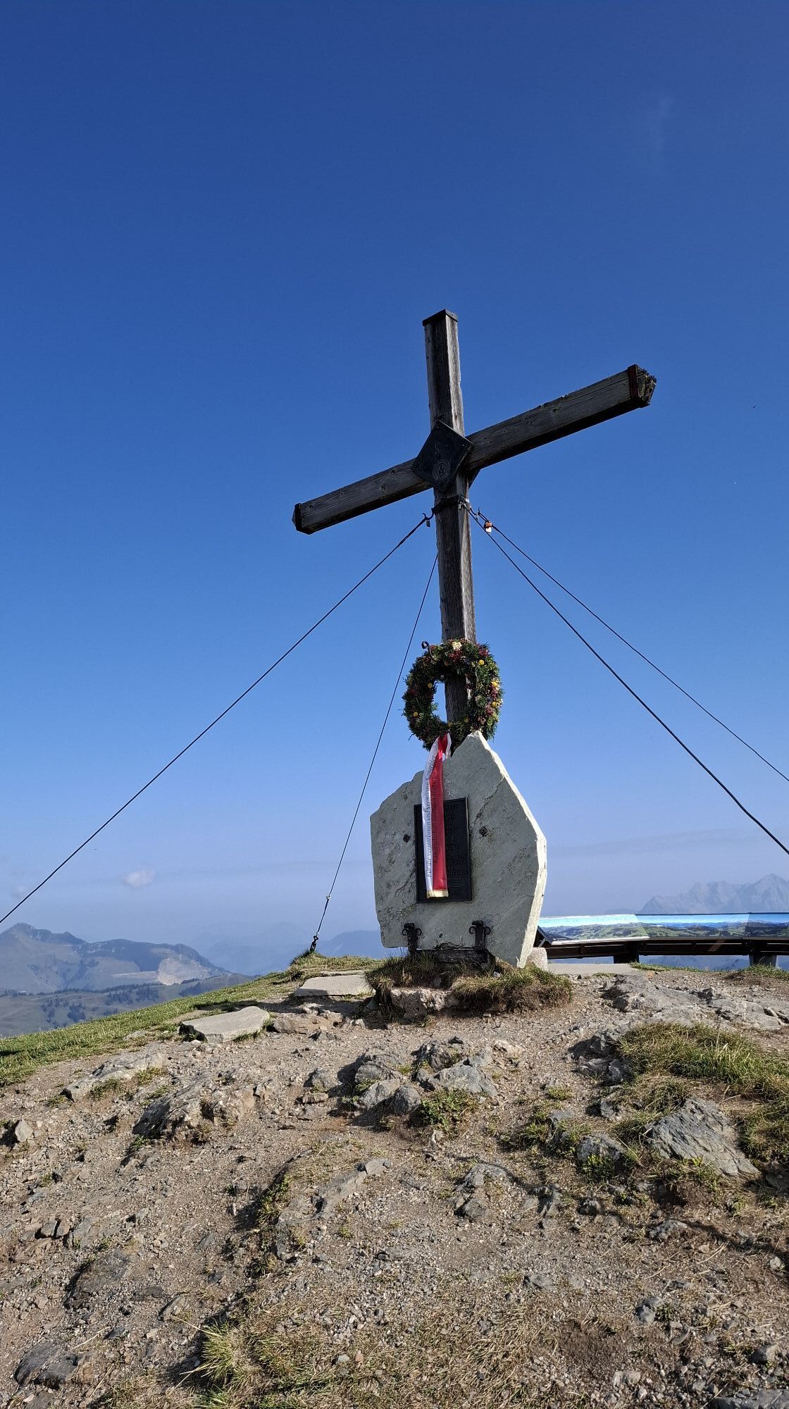
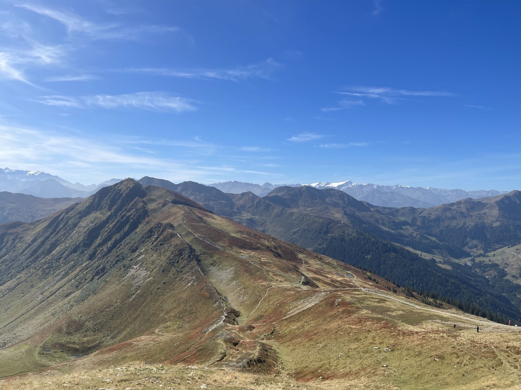
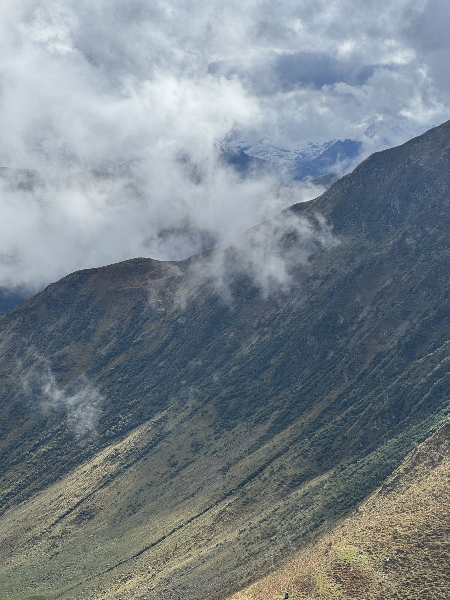
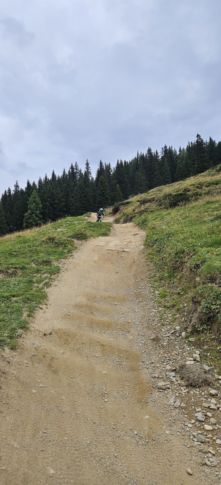
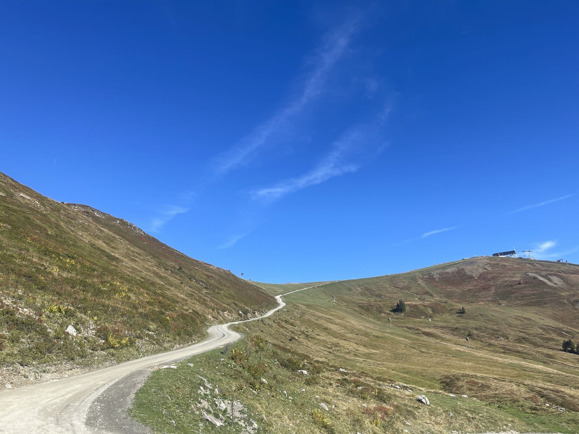
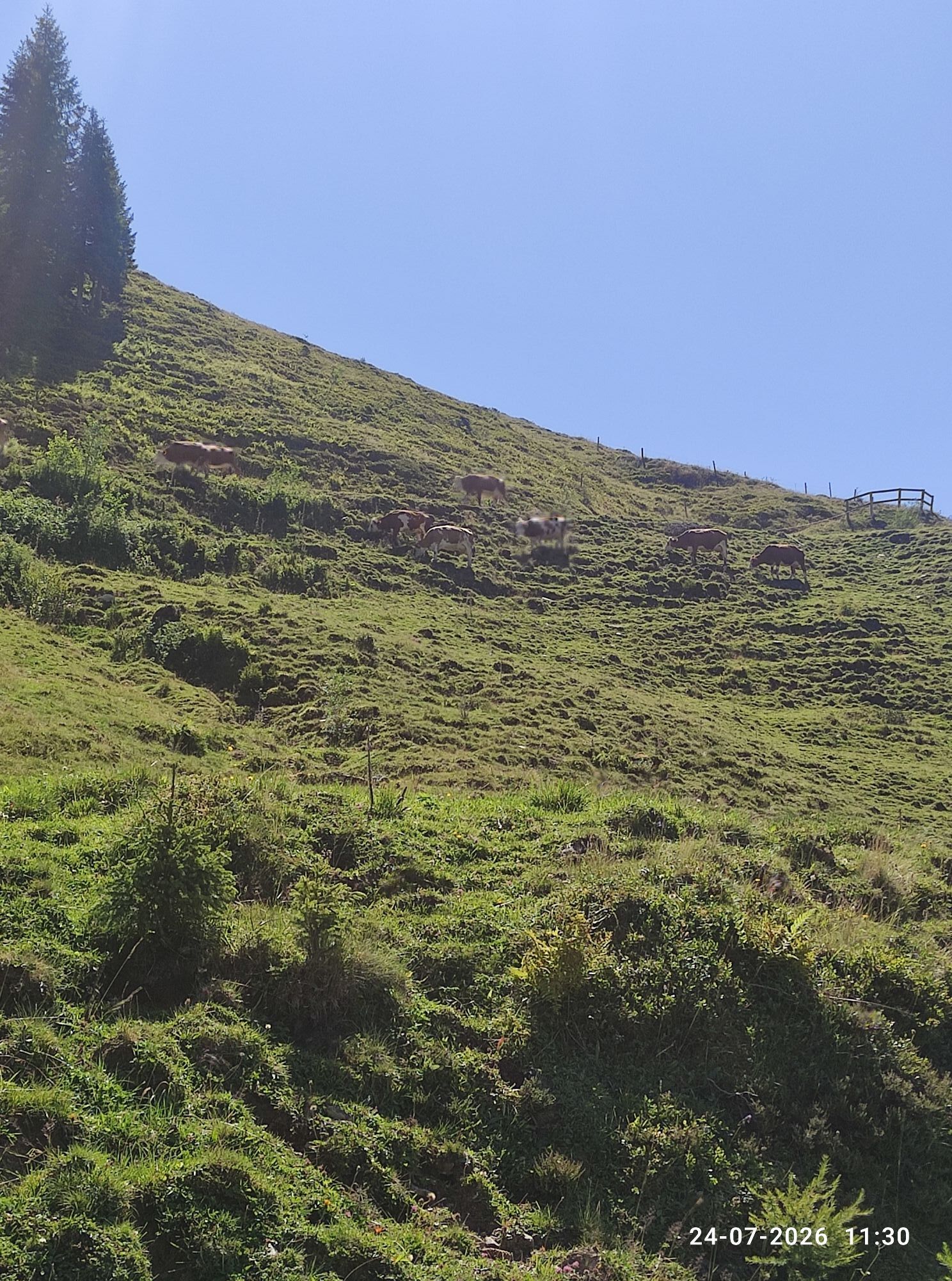
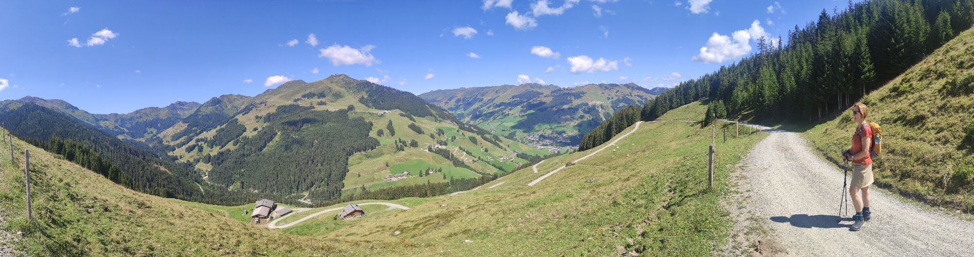
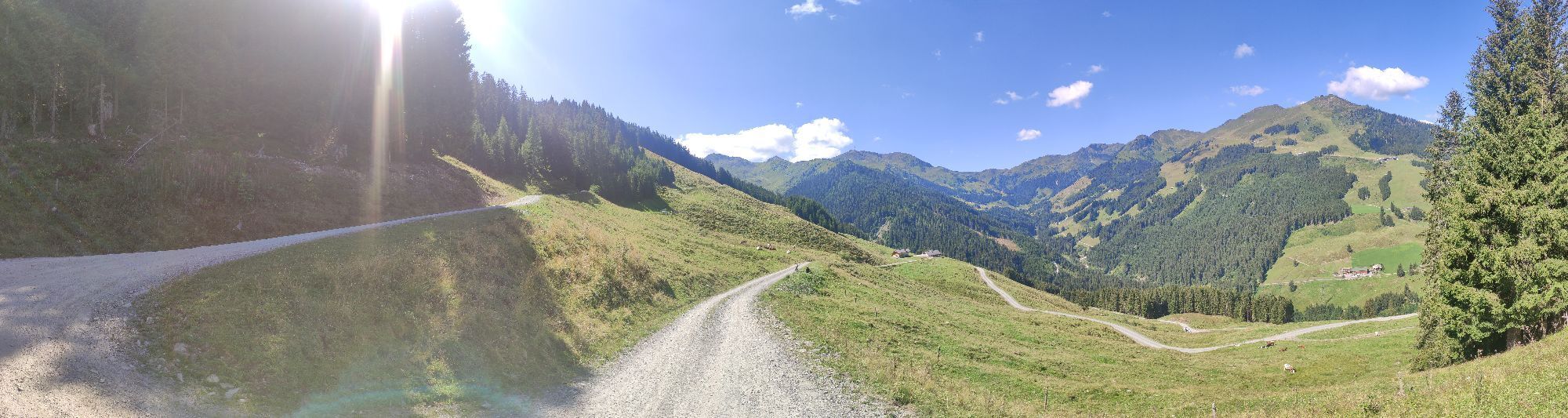
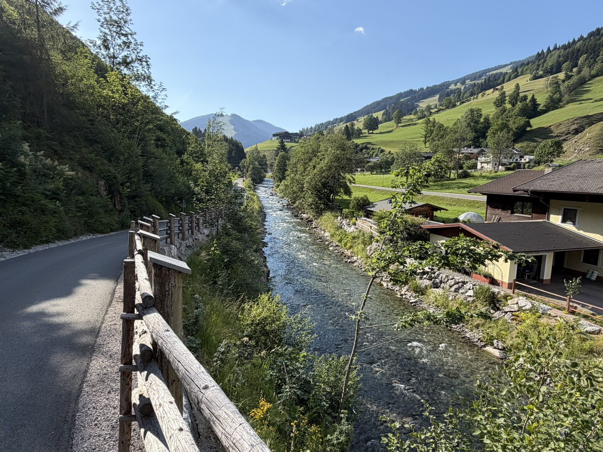
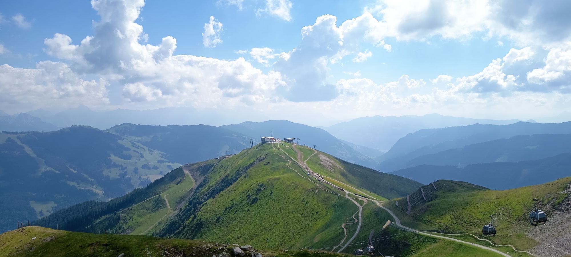
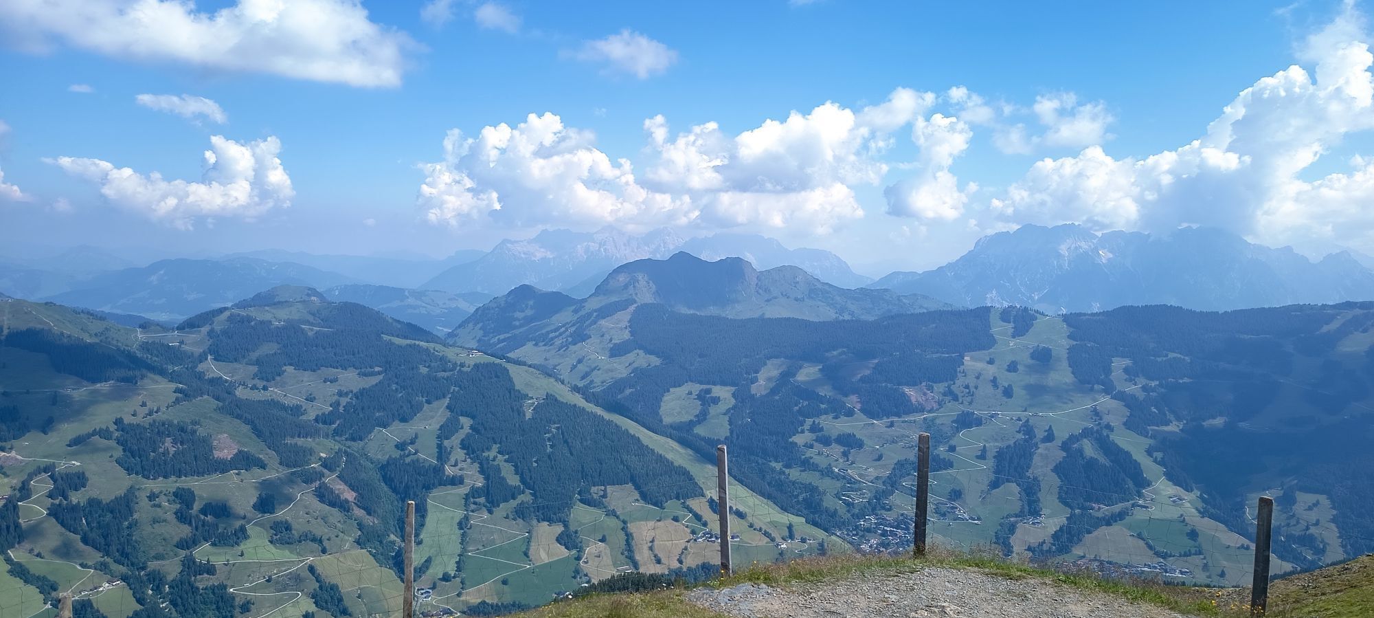
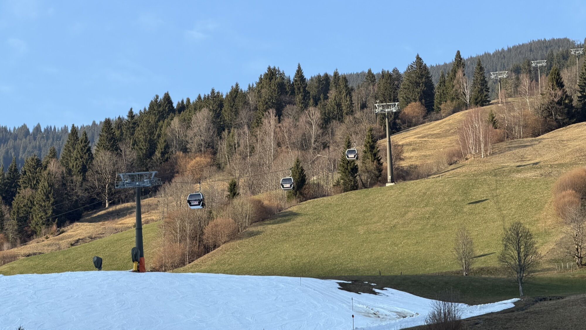
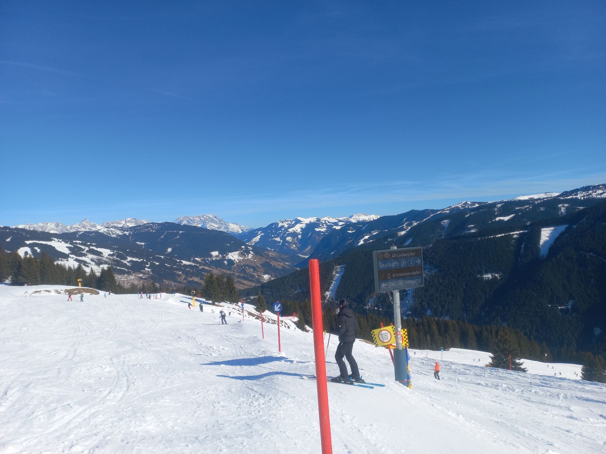
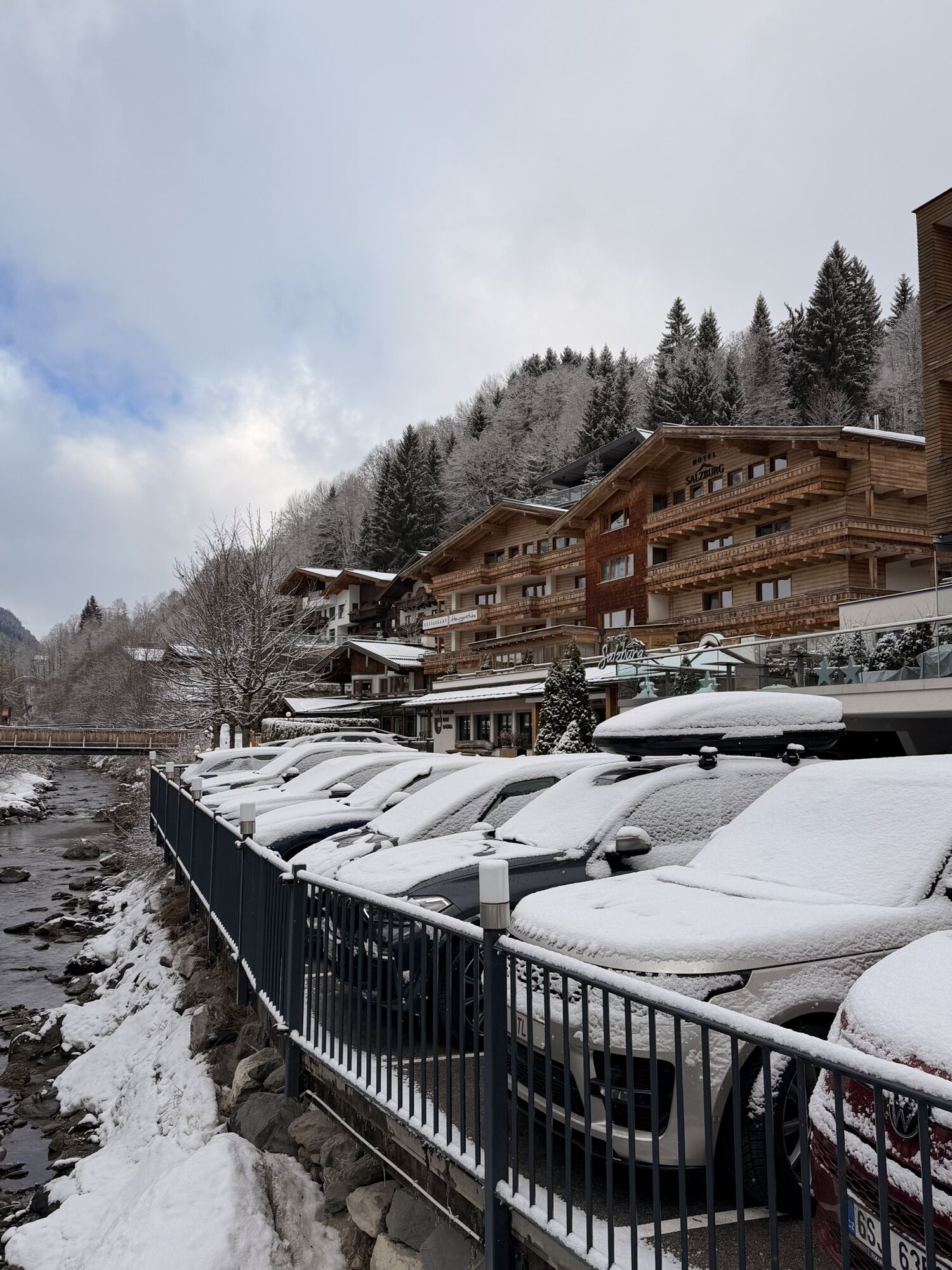
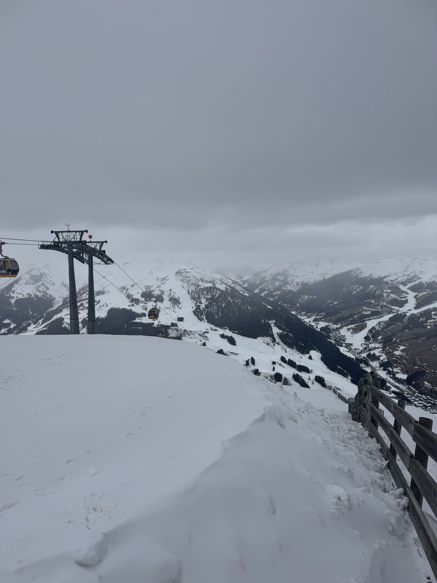
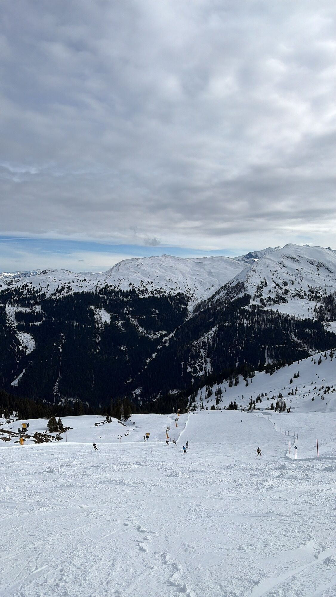
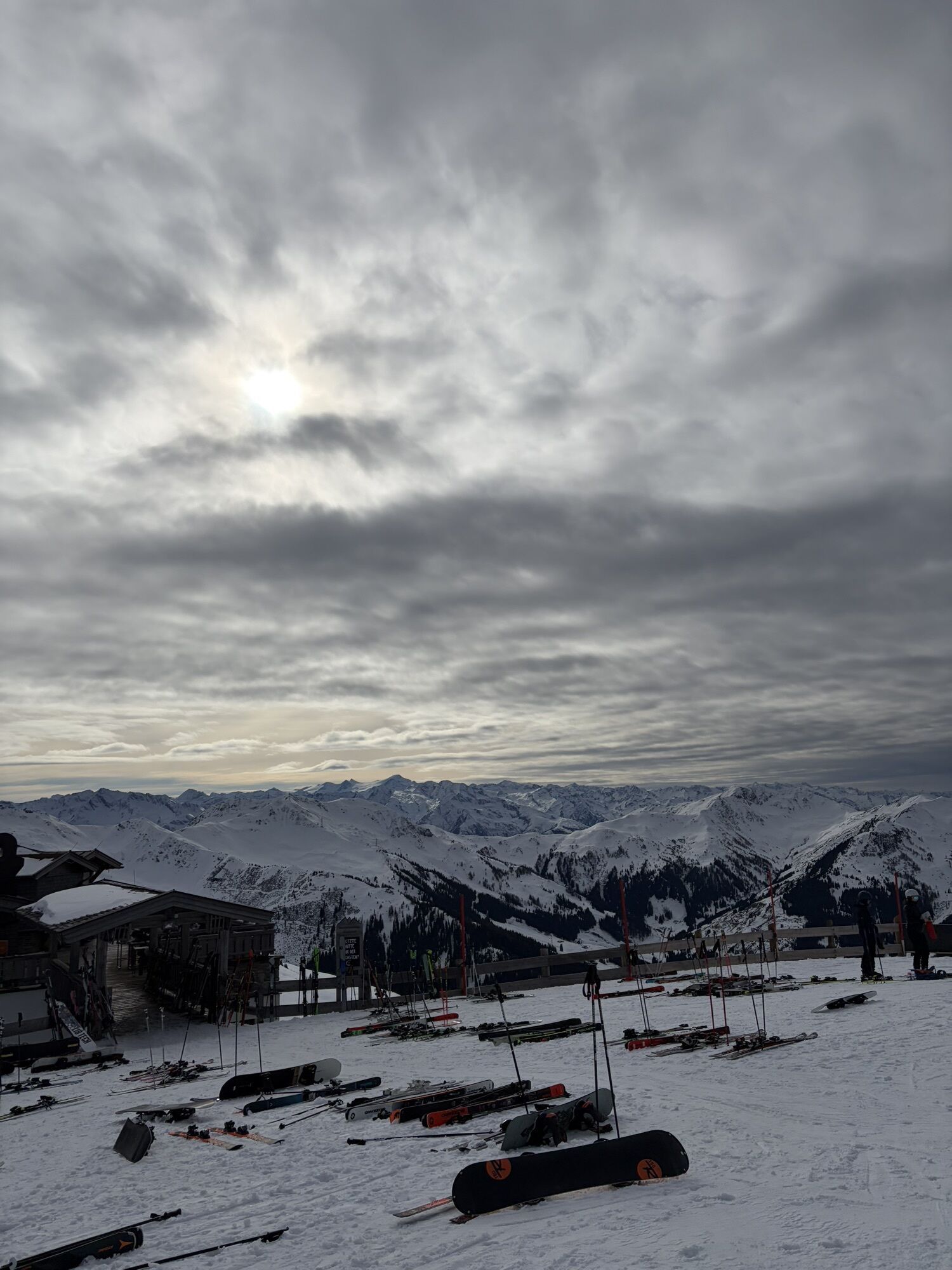
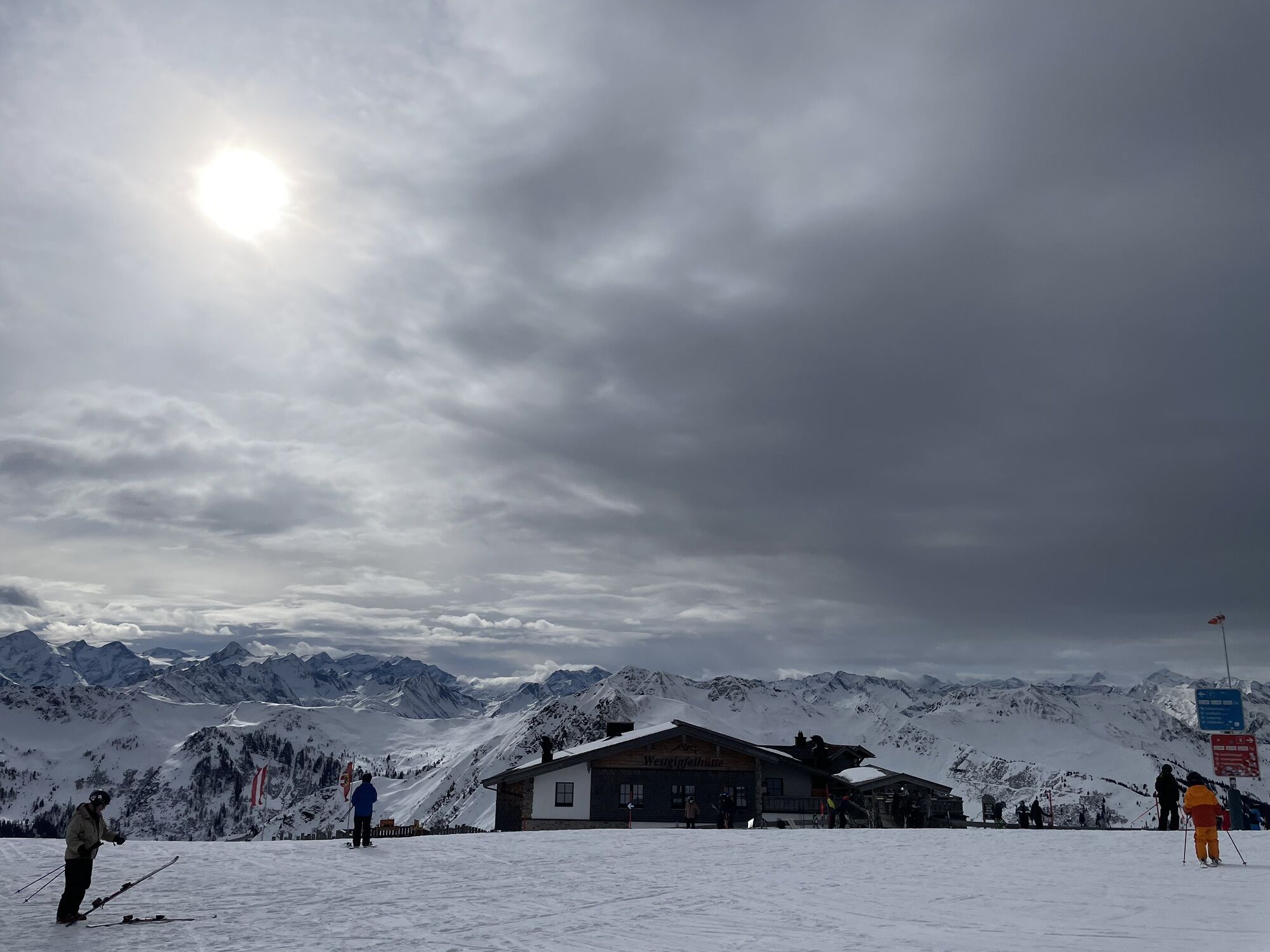
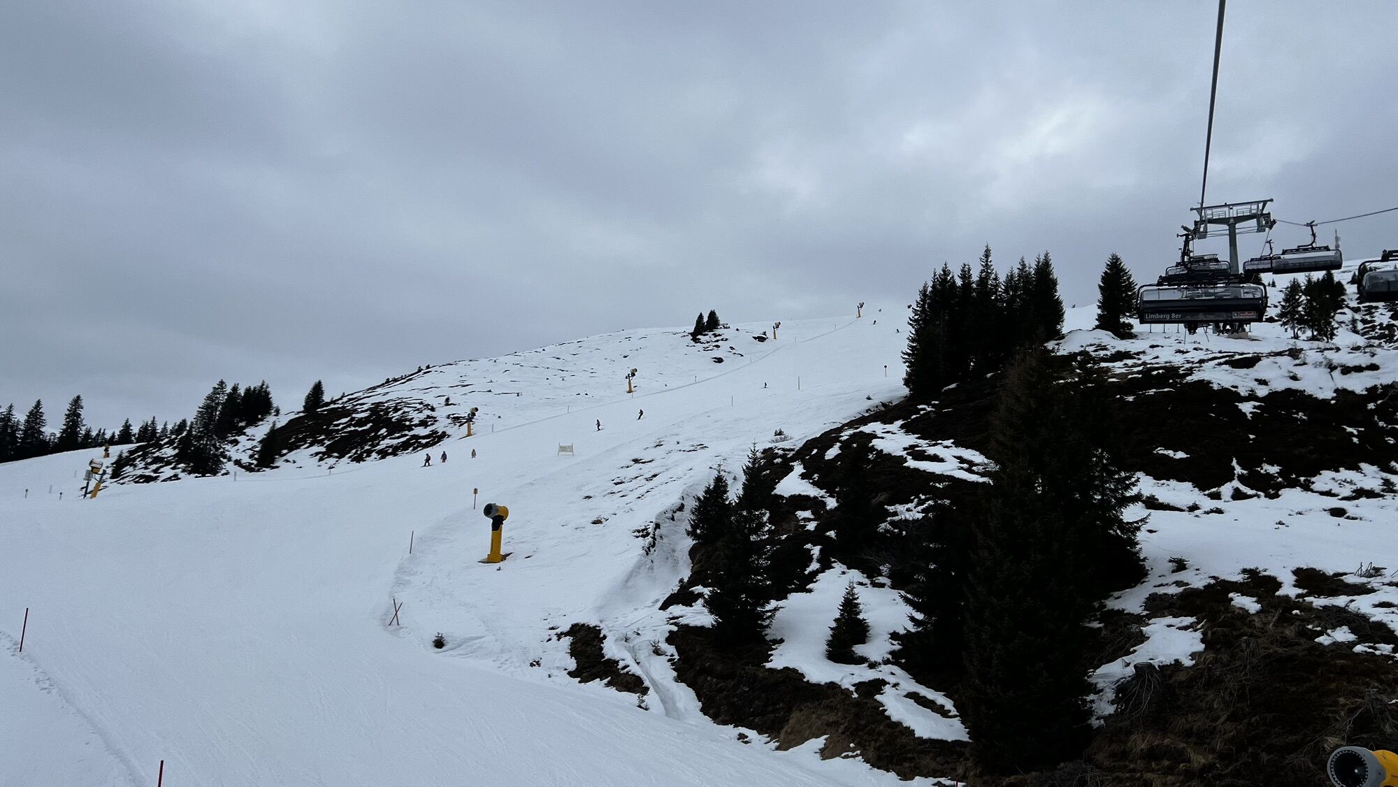
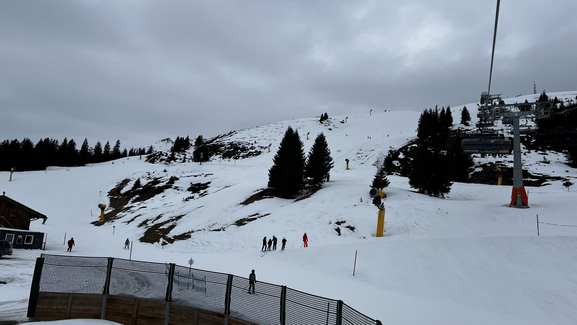
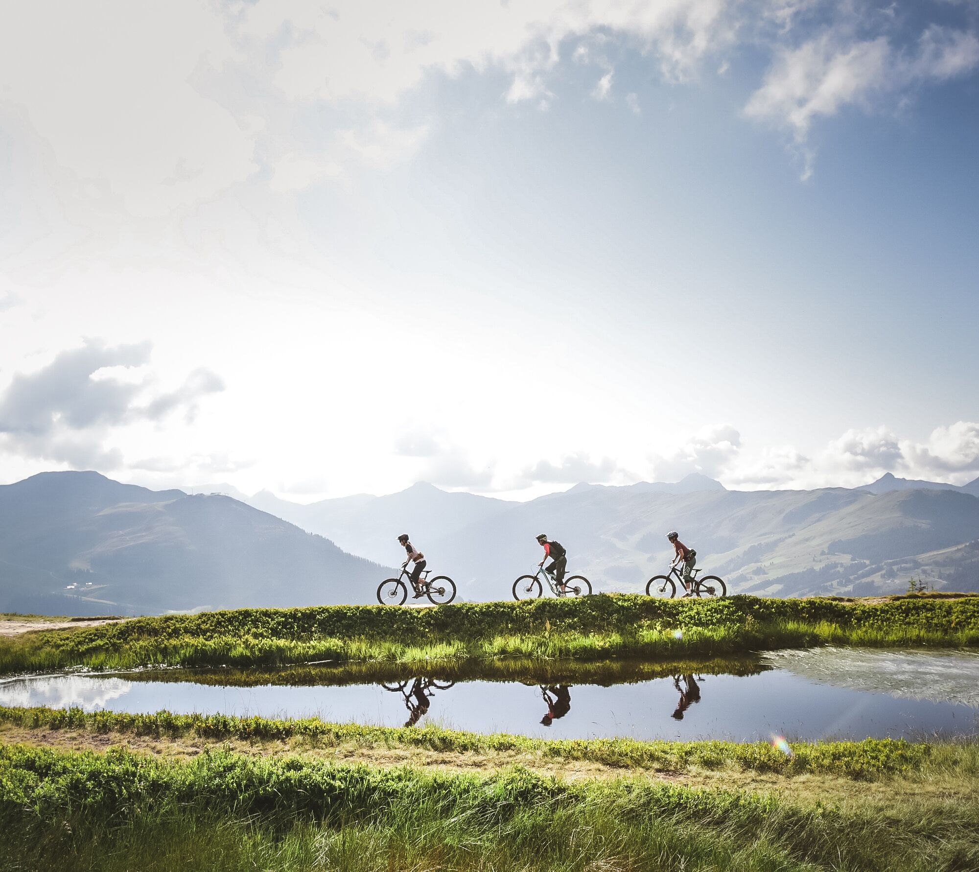
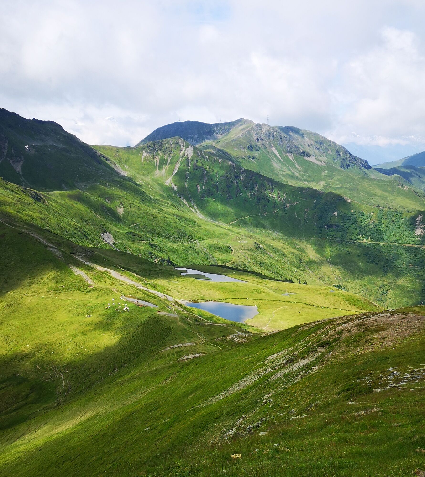
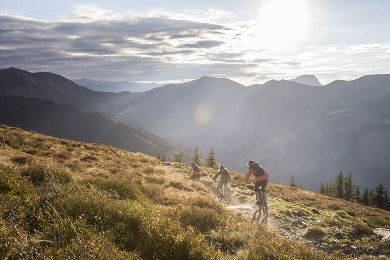
From the Schattberg X-Press, take the Glemmtal cycle path to Jausern and turn right into the Löhnersbachgraben. This is where the long but very varied climb up the Schattberg begins. Many serpentines lead through sunny alpine pastureland with lots of grazing cattle and two managed alpine pastures to the double summit of the Schattberg. Here you have several options: If you don't like trails, turn around and go back the same way. If you want to complete a spectacular trail, get on the technical X-Line and return directly to the starting point. The "normal" course of the Schattberg loop is on sheer endless flowing trails, first via the Hacklberg trail, later via the Buchegg trail. Pure downhill fun down to Hinterglemm and via the Glemmtal cycle path back to the starting point.


Áno
Download the track sheet.

Webové kamery z prehliadky
-
Schattberg - West
-
Asitz Gipfel
-
Berghotel Seidl-Alm
-
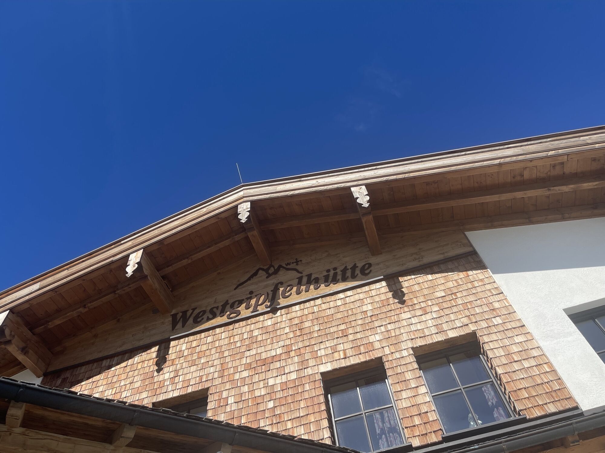
Schattberg Westgipfel
-
Kohlmais Tal
-
Hinterglemm - Saalbach
-
Großer Asitz / Gipfelkreuz
-
Saalbach-Hinterglemm - Schattberg Ost
-
Saalbach-Hinterglemm - Zwölferkogel
-
Saalbach-Hinterglemm - Wildenkarkogel
-
Saalbach - Hotel Alpinresort
-
Zwölferkogel
-
Wildenkarkogel
-
Saalbach-Hinterglemm - Kohlmais
-
Kohlmaiskopf
-
Leogang - Grosser Asitz
-
zellamseeXpress
-
Martenhof
-
Wohlfühlhotel-Johanneshof
-
Eberharthof - Saalbach-Hinterglemm
-
Hochalm Mittelstation
Získajte prehľad
Vždy naživo na mieste s viac ako 9 500 webovými kamerami. bergfex Ako používateľ Pro si teraz môžete pozrieť príslušné webové kamery pre mnohé zájazdy v aplikácii zájazdy z. Môžete si tak priamo prezerať aktuálne podmienky.

Obľúbené výlety v okolí
-
4,3
Maurerkogel (Top)
Turistika 10,5 km -
4,2
Passauer Hütte
ťažkéTuristika 4,14 km -
4,6
Lettlkaser
strednáTuristika 4,40 km -
4,1
Berg der Sinne
svetloTuristika 4,39 km -
4,6
Birnbachloch Leogang, Österreich
strednáTuristika 5,18 km -
4,6
Thumersbach, Runde um den Zeller See
svetloTuristika 13,3 km -
4,9
Hochsonnberg Runde
strednáMountainbike 59,8 km -
4,6
Panorama route 3 peaks and 2 lakes
strednáTuristika 7,21 km -
4,9
Schmittenhöhe - Hochsonnbergalm - Pinzgauer Hut
strednáTuristika 9,09 km -
4,3
Saalachtaler Höhenweg EAST (Asitz - Biberg)
strednáTuristika 13,1 km
Turistika a stopovanie


Nenechajte si ujsť ponuky a inšpiráciu na ďalšiu dovolenku
Vaša e-mailová adresa bol pridaný do poštového zoznamu.





