






Johanneswasserfall and Felseralm Trail
Úroveň náročnosti: S2
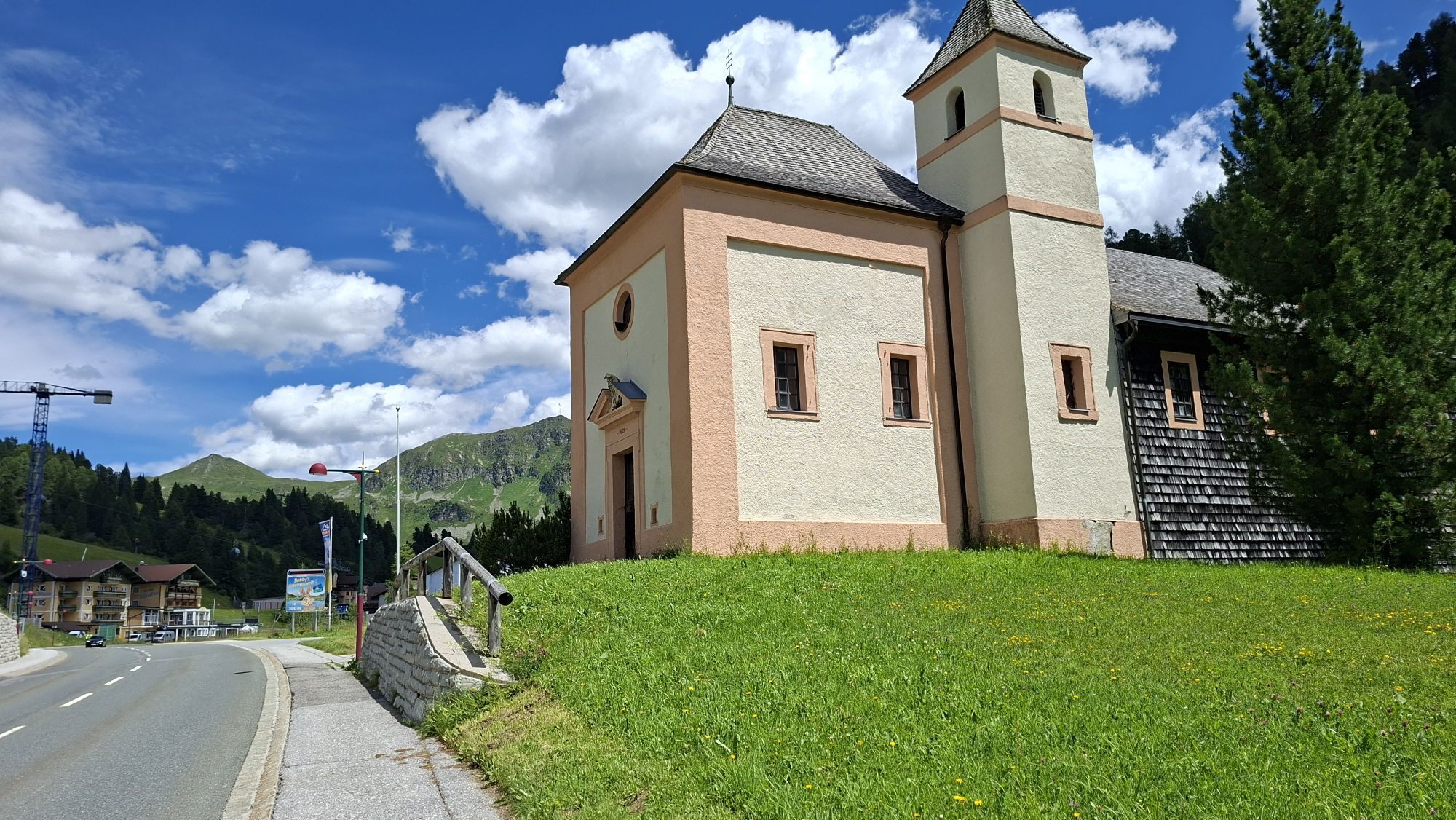
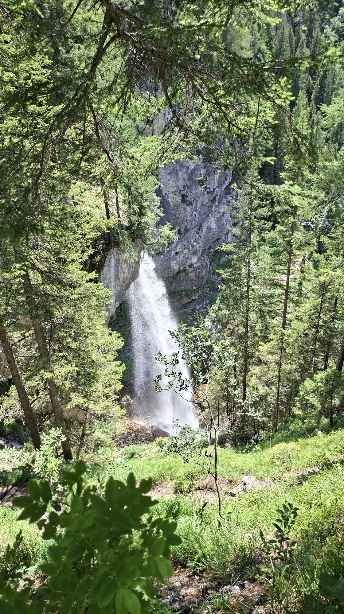
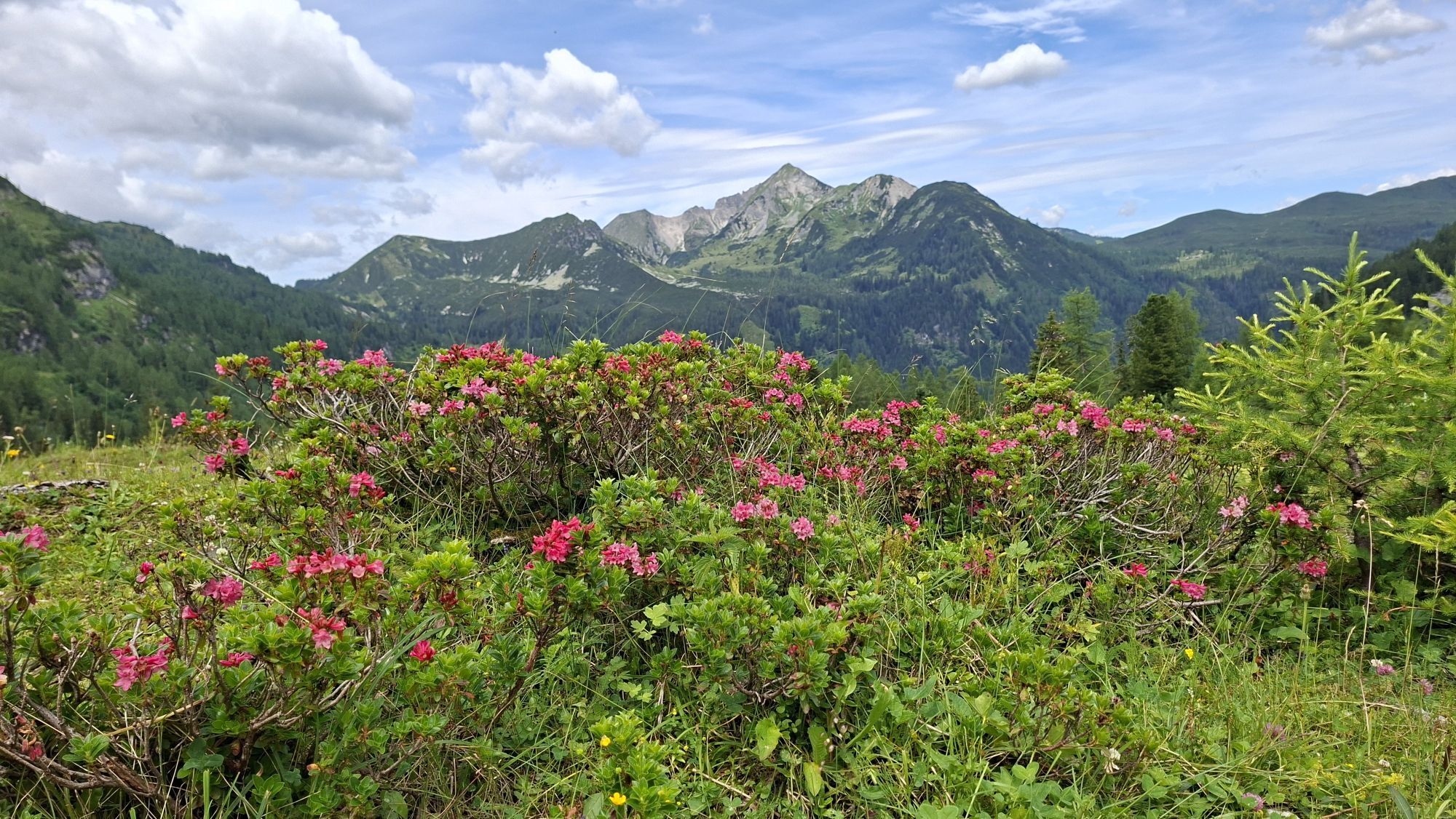
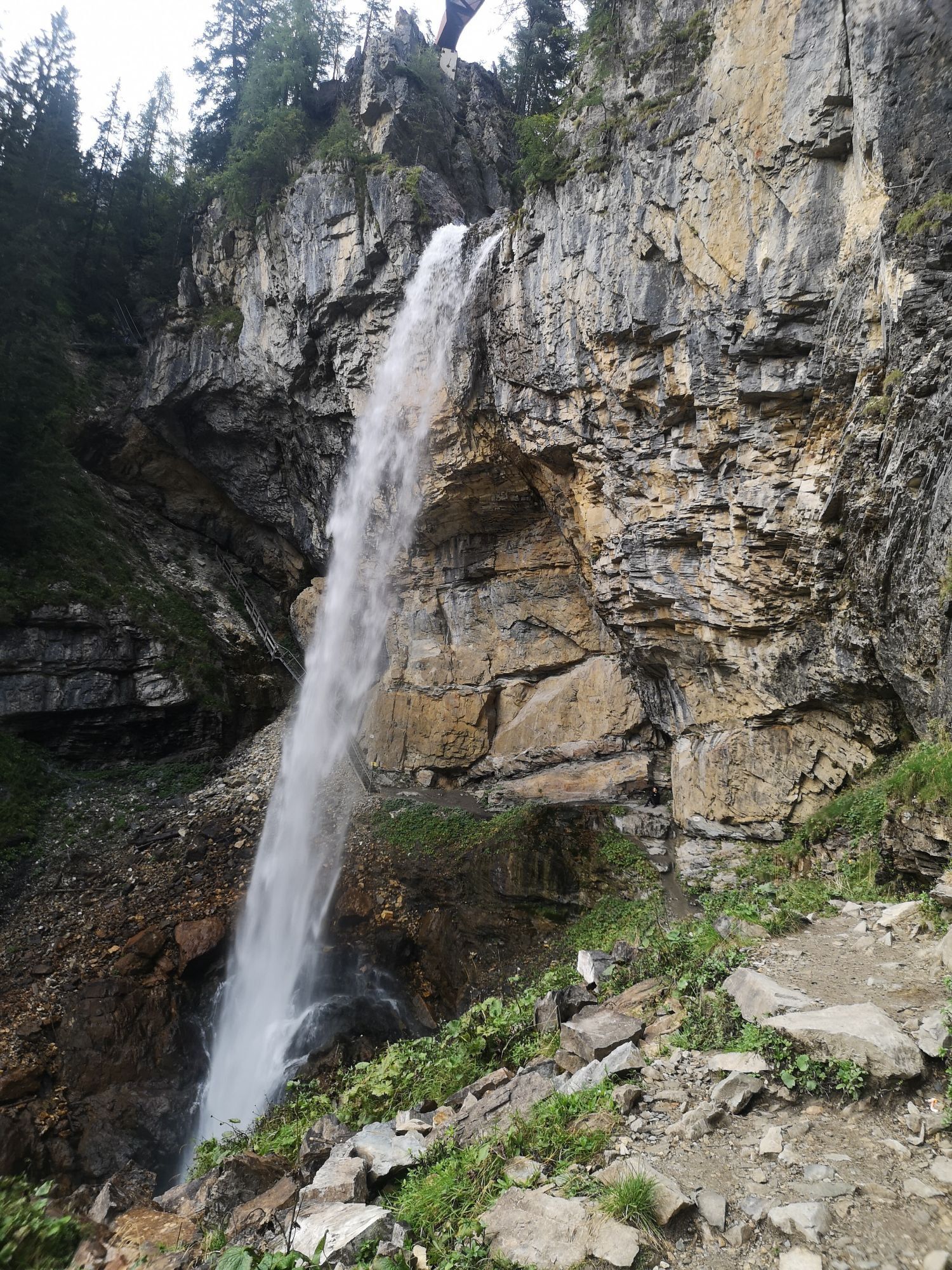
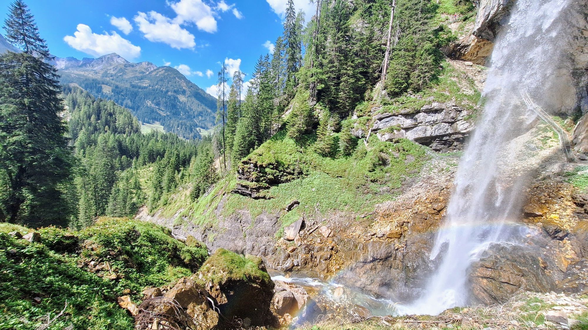
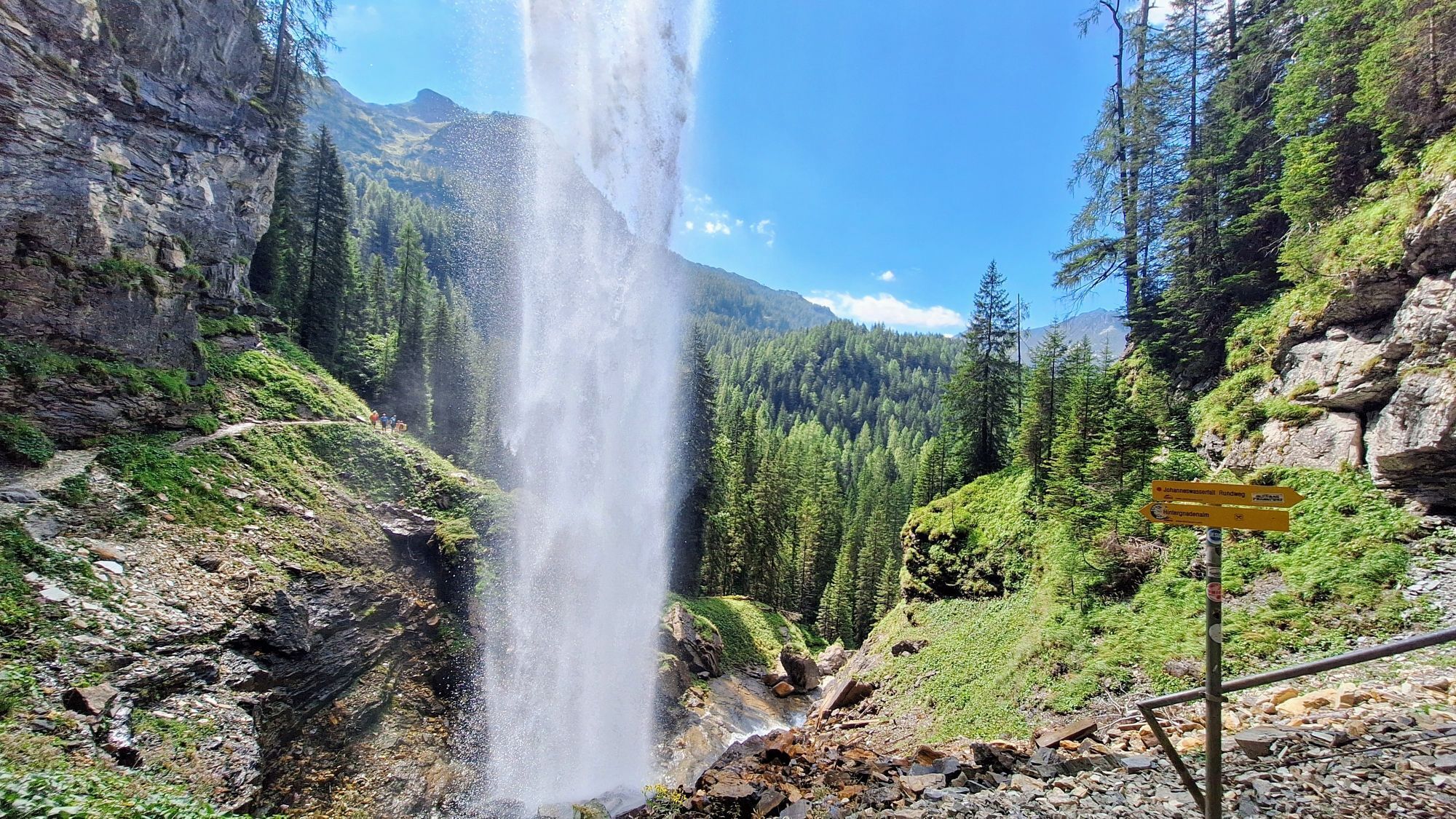
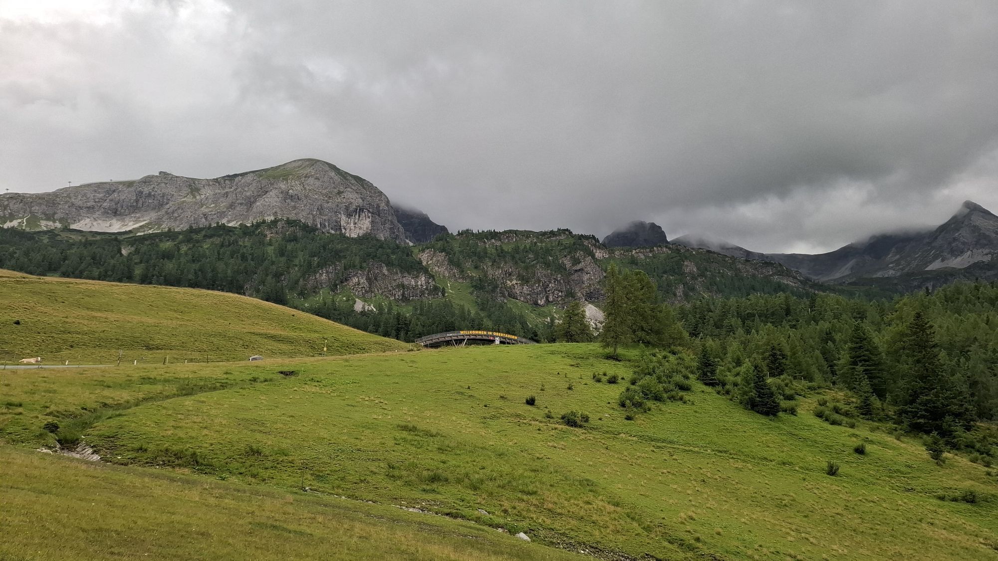
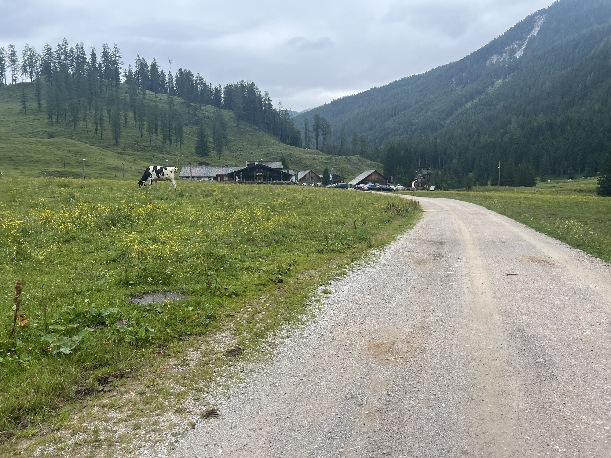
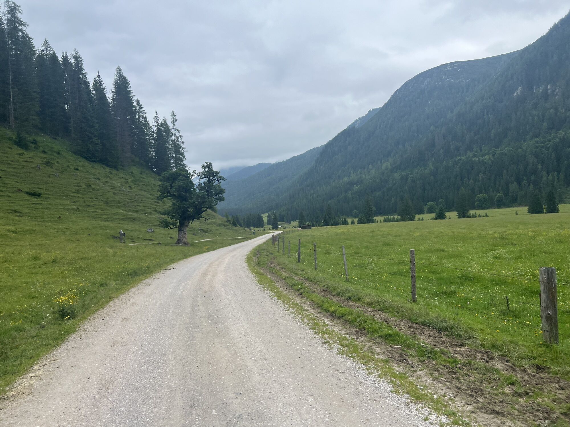
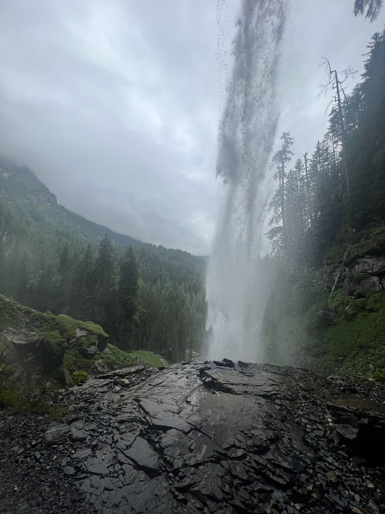
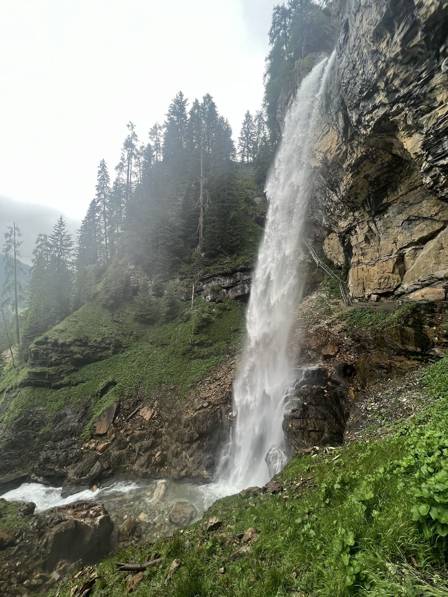
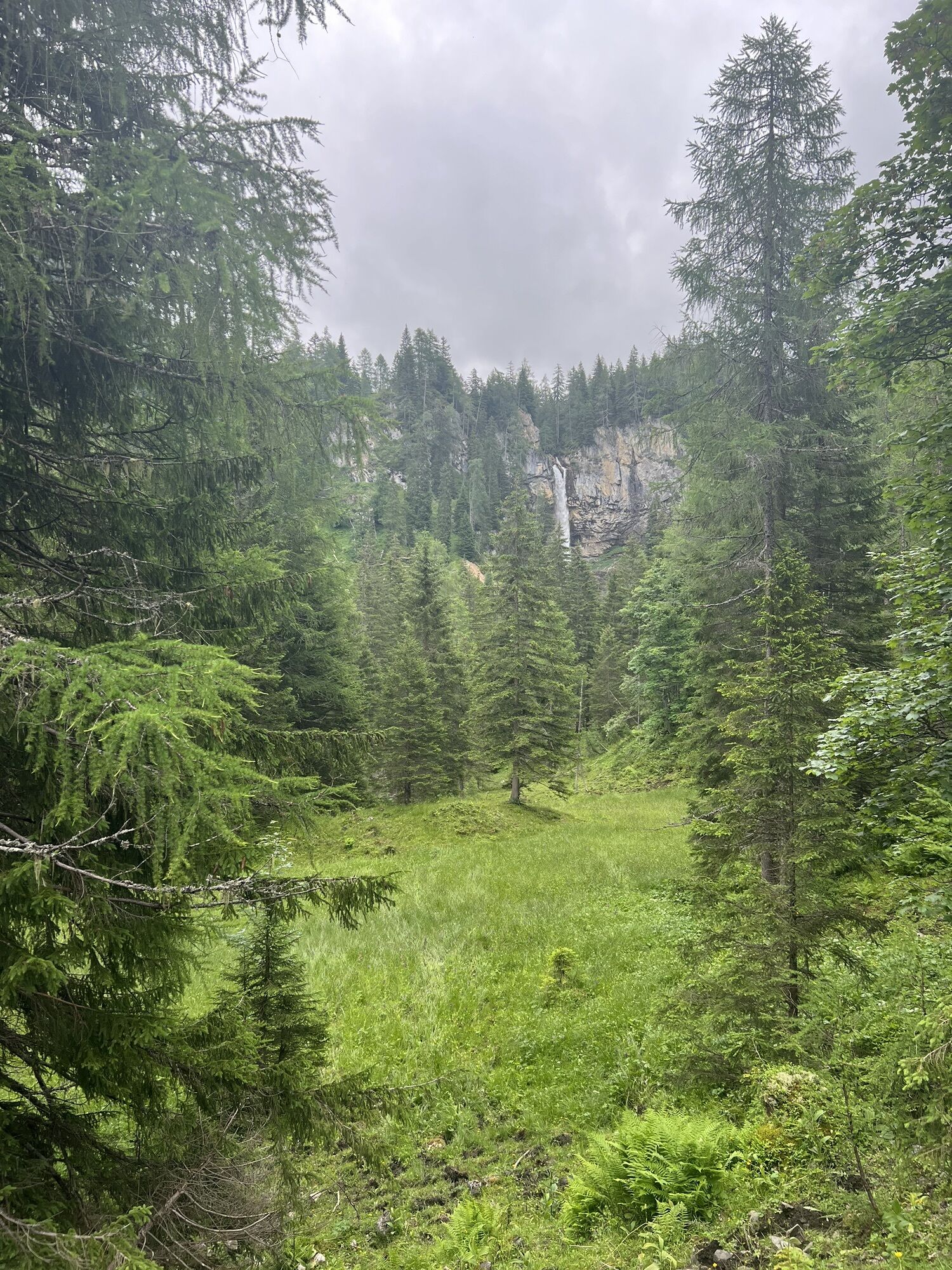

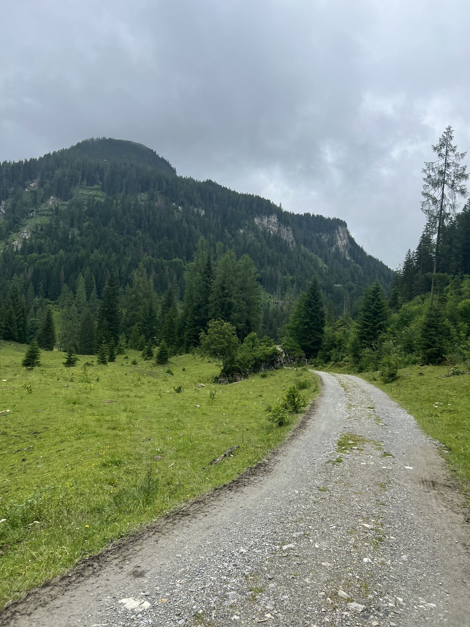
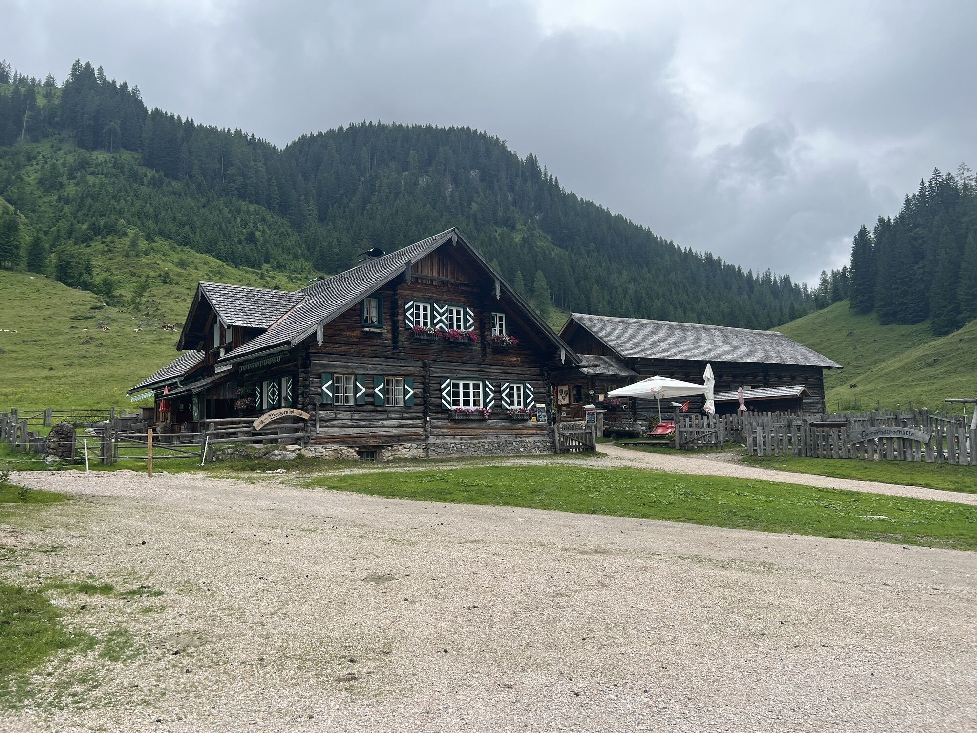
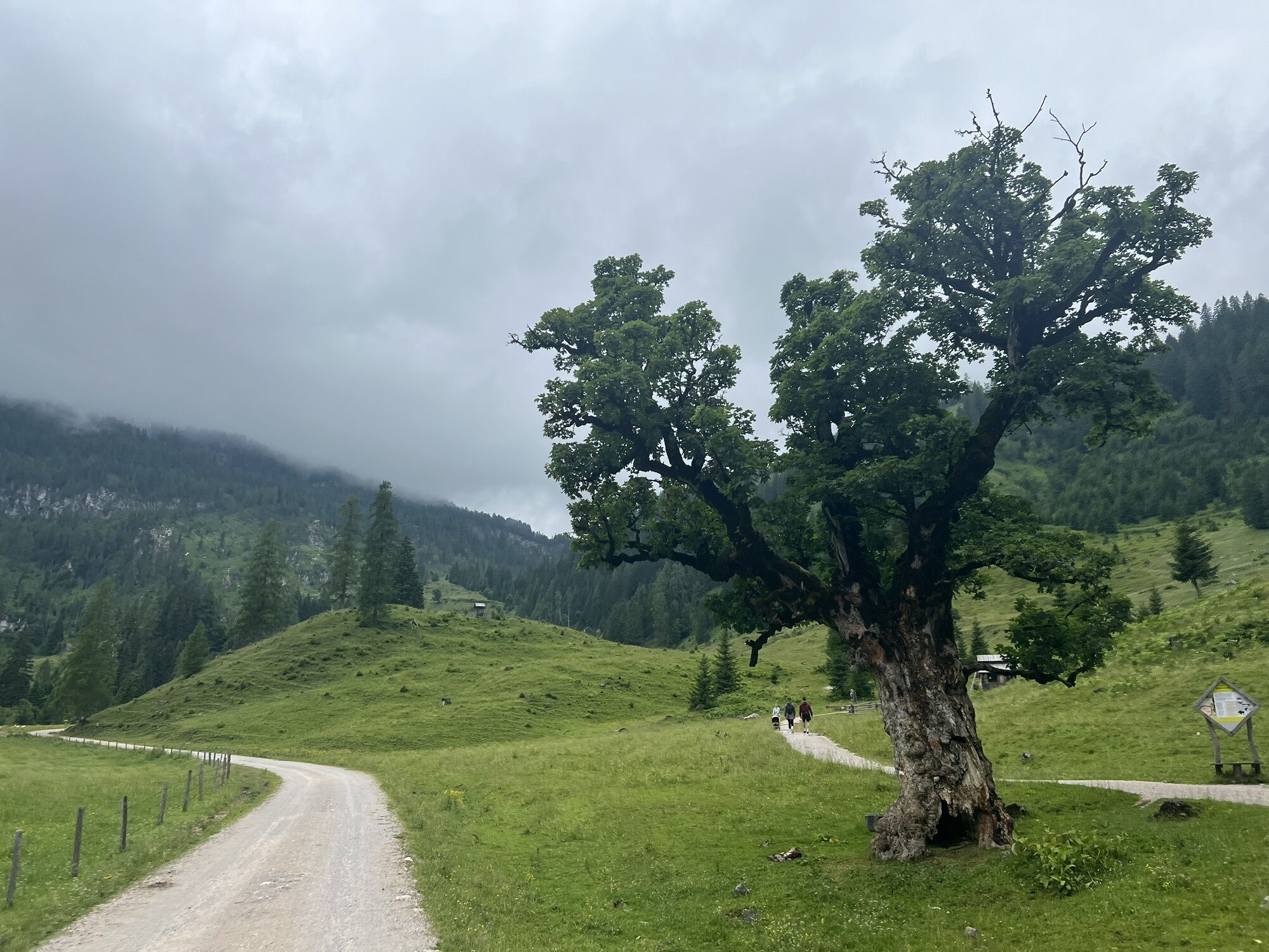

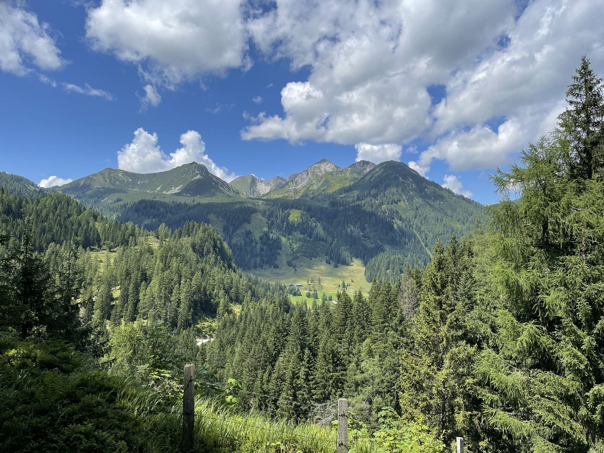
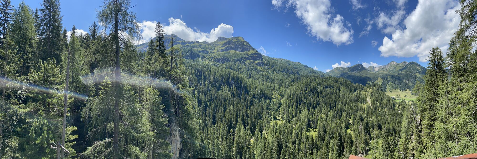
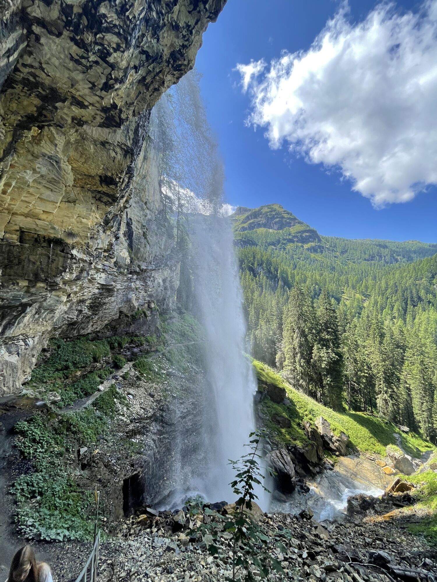
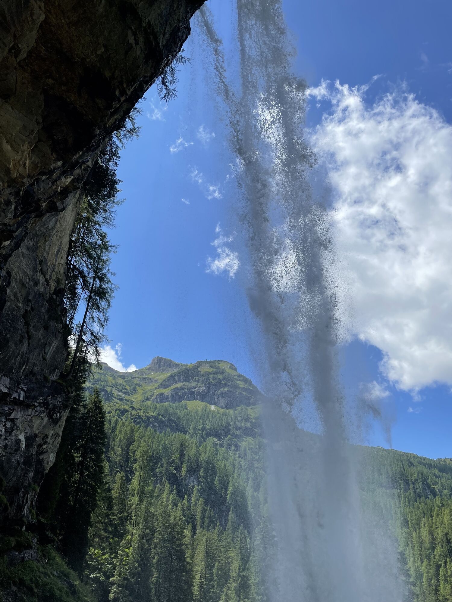
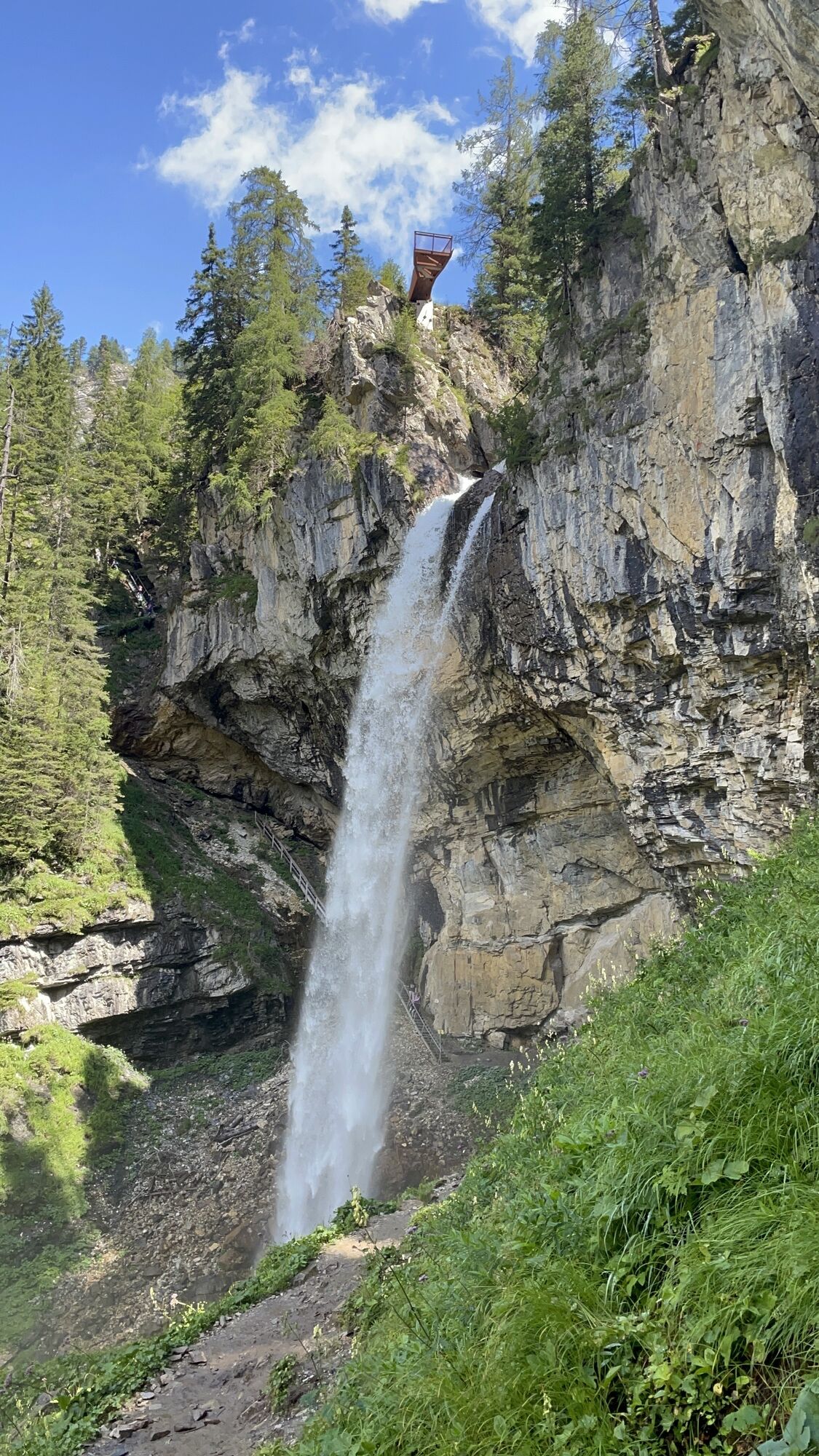
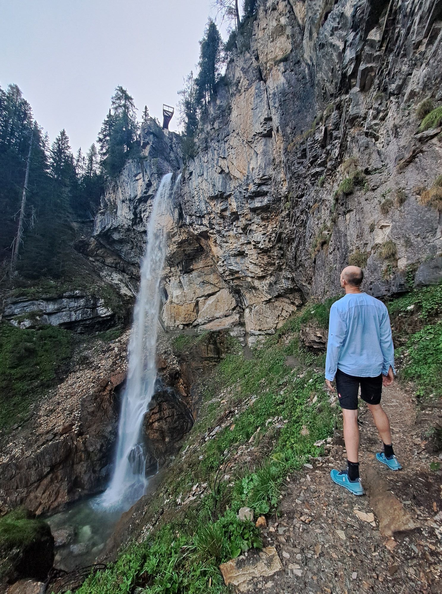
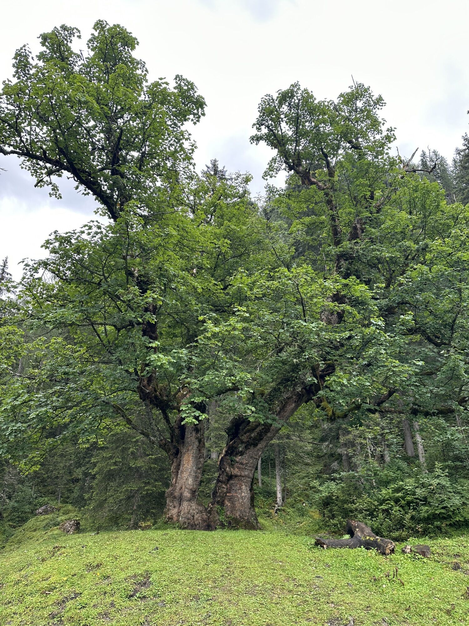
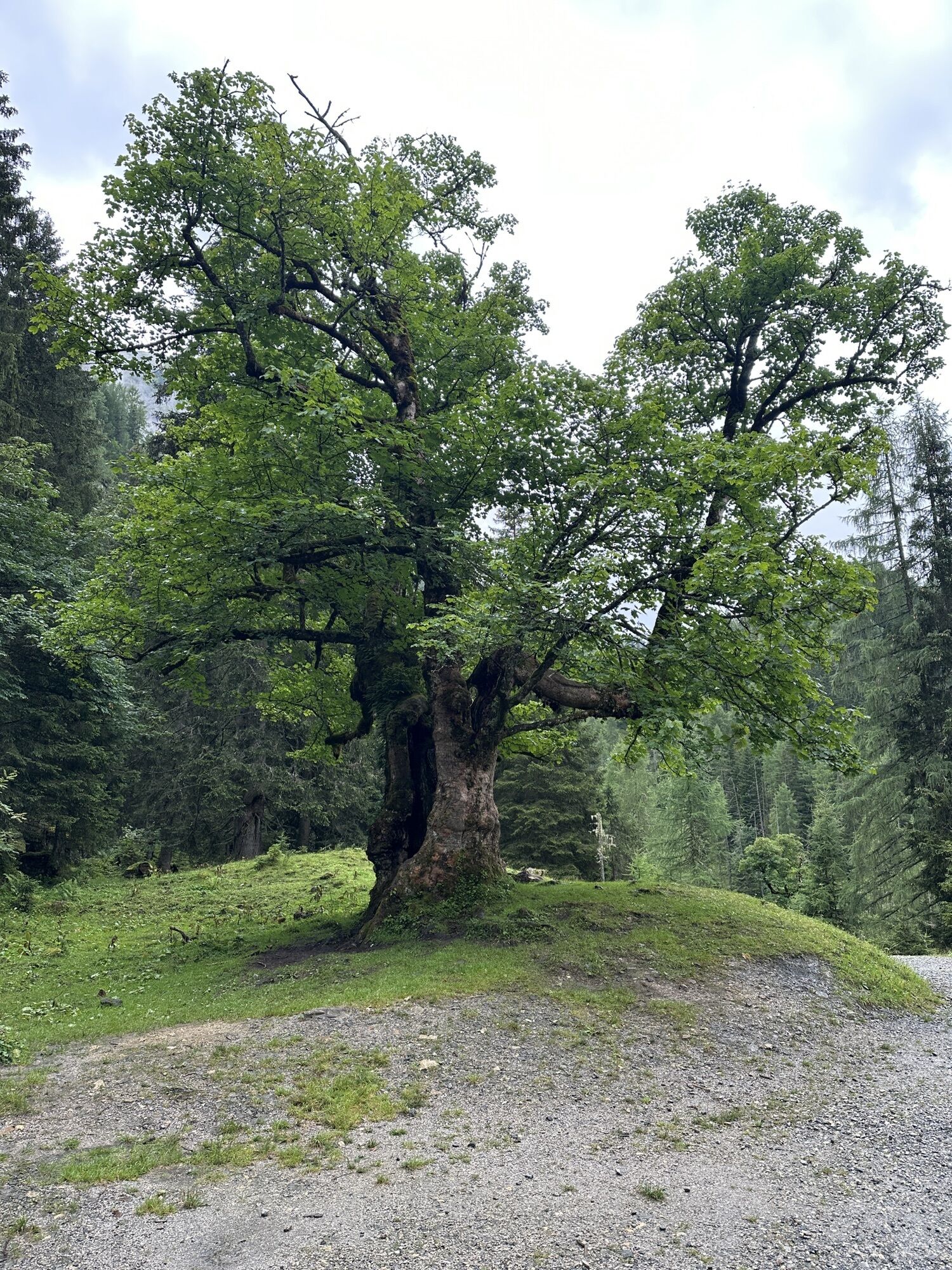
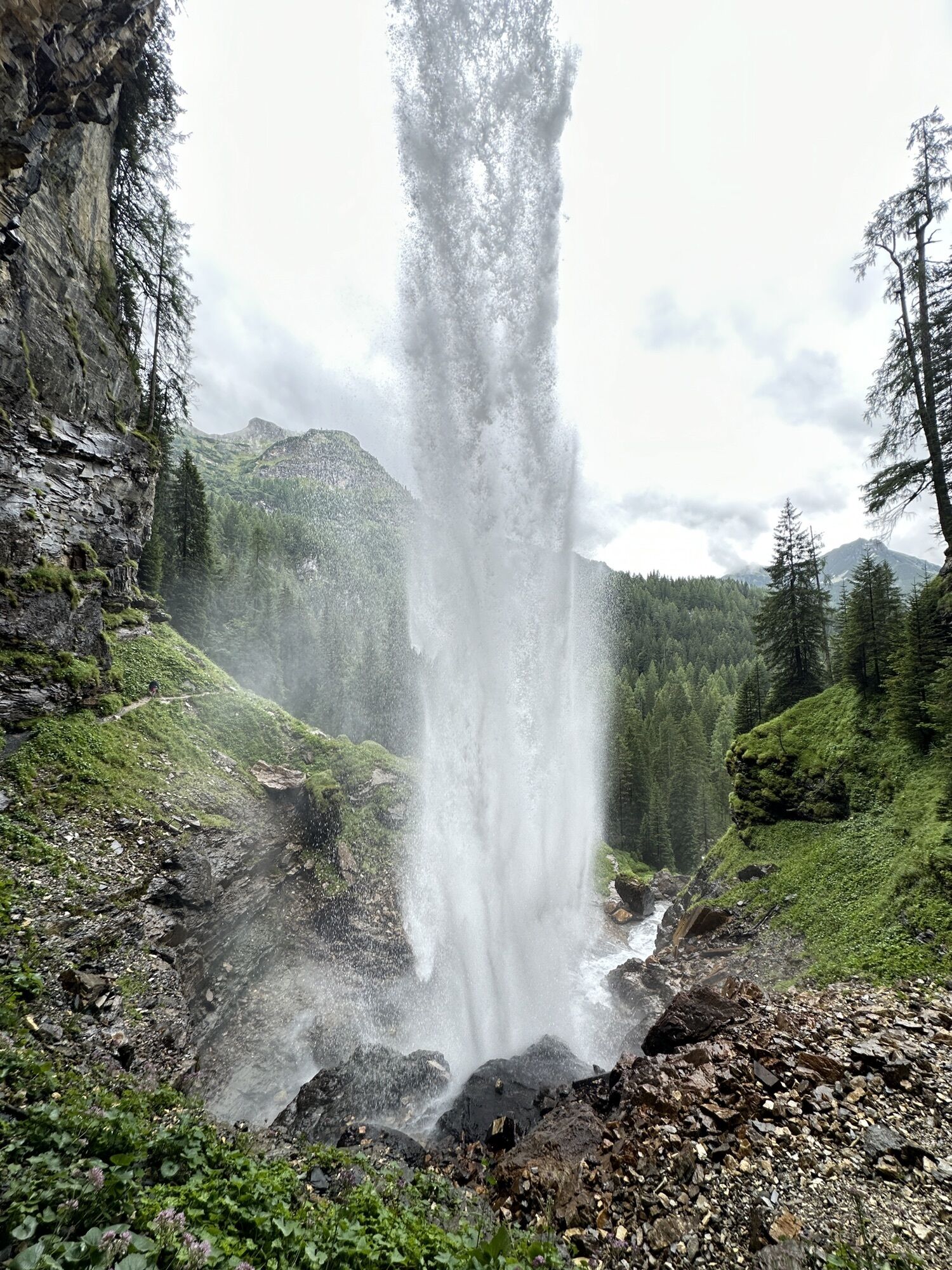
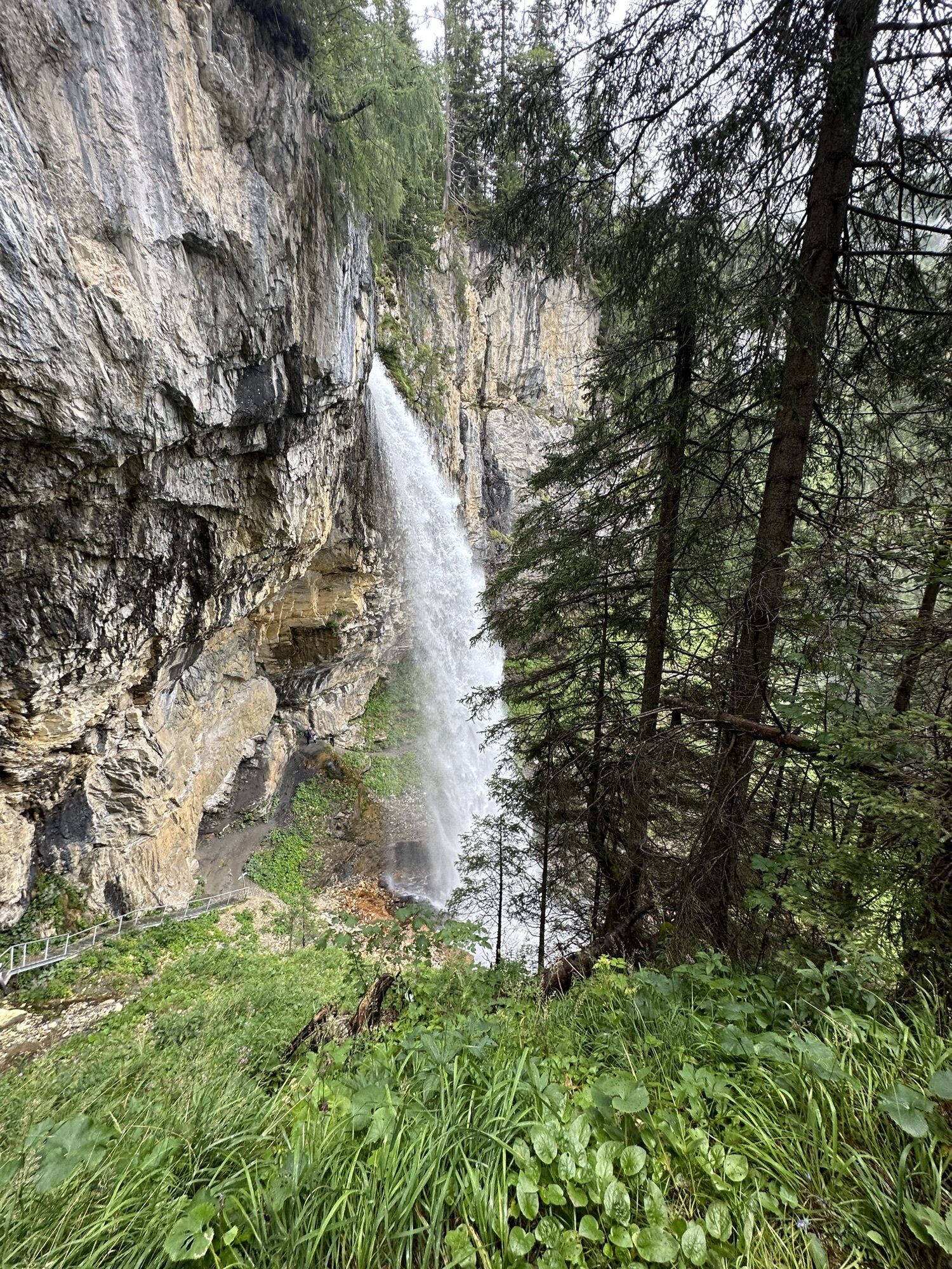
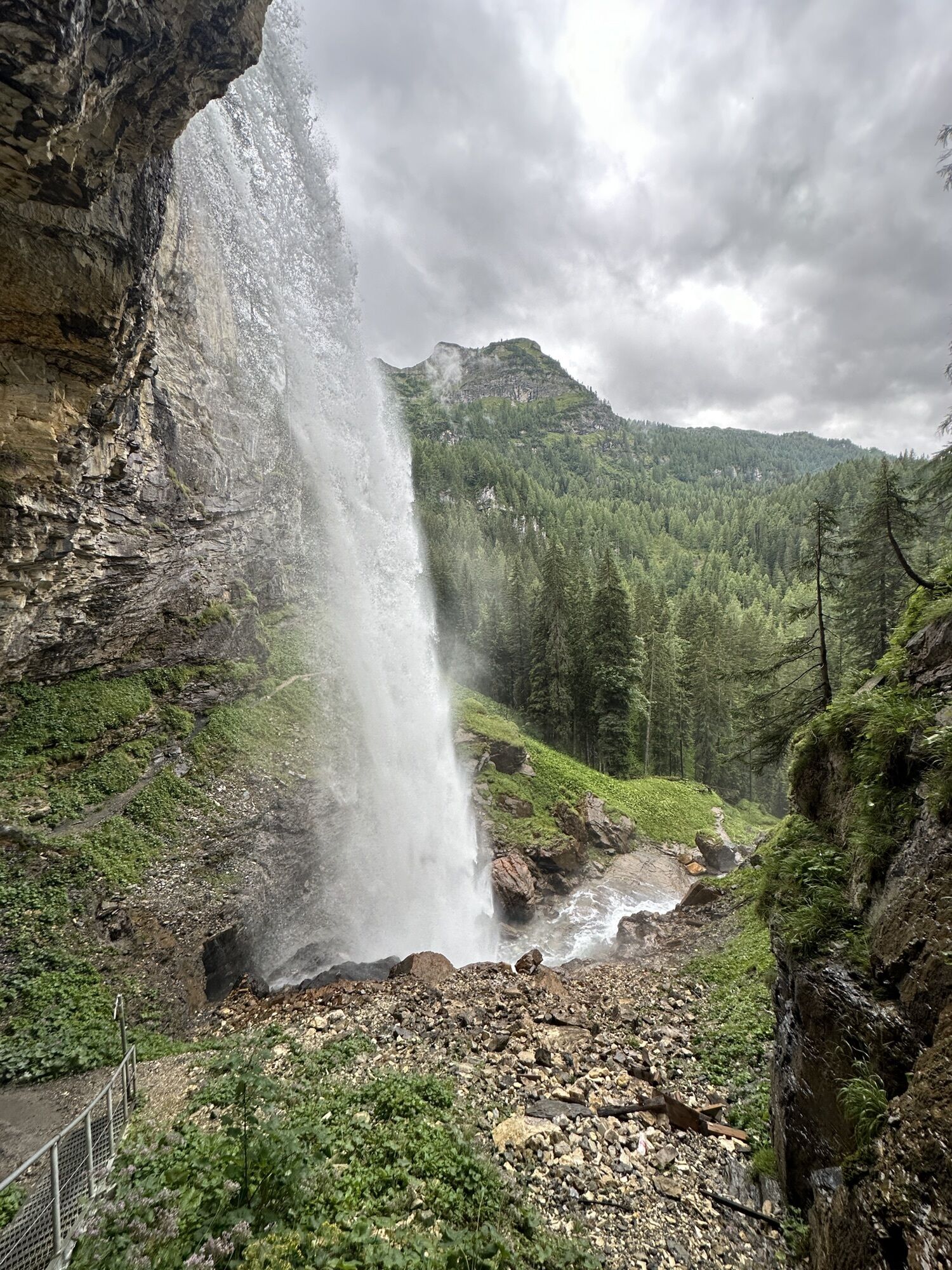
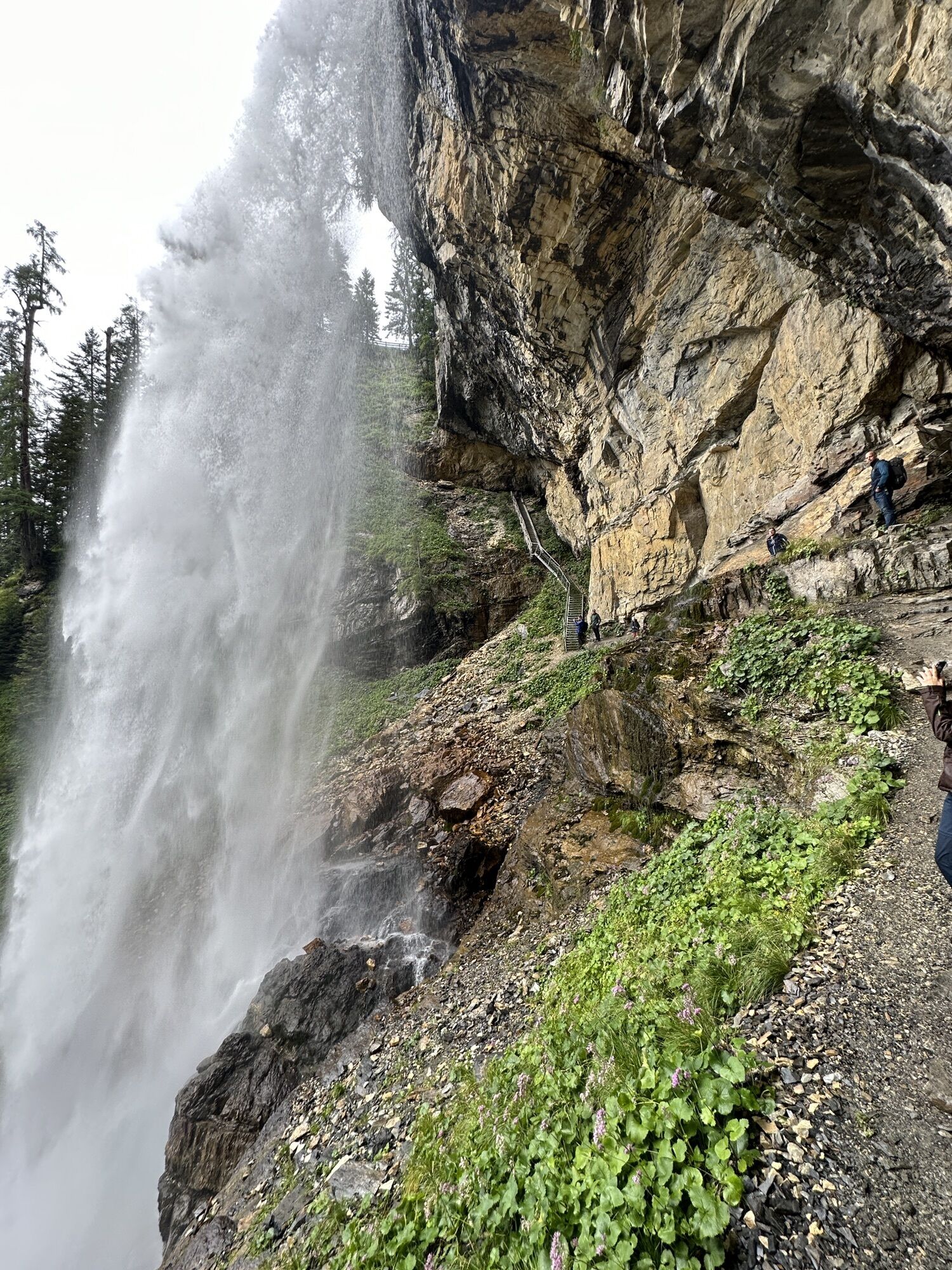
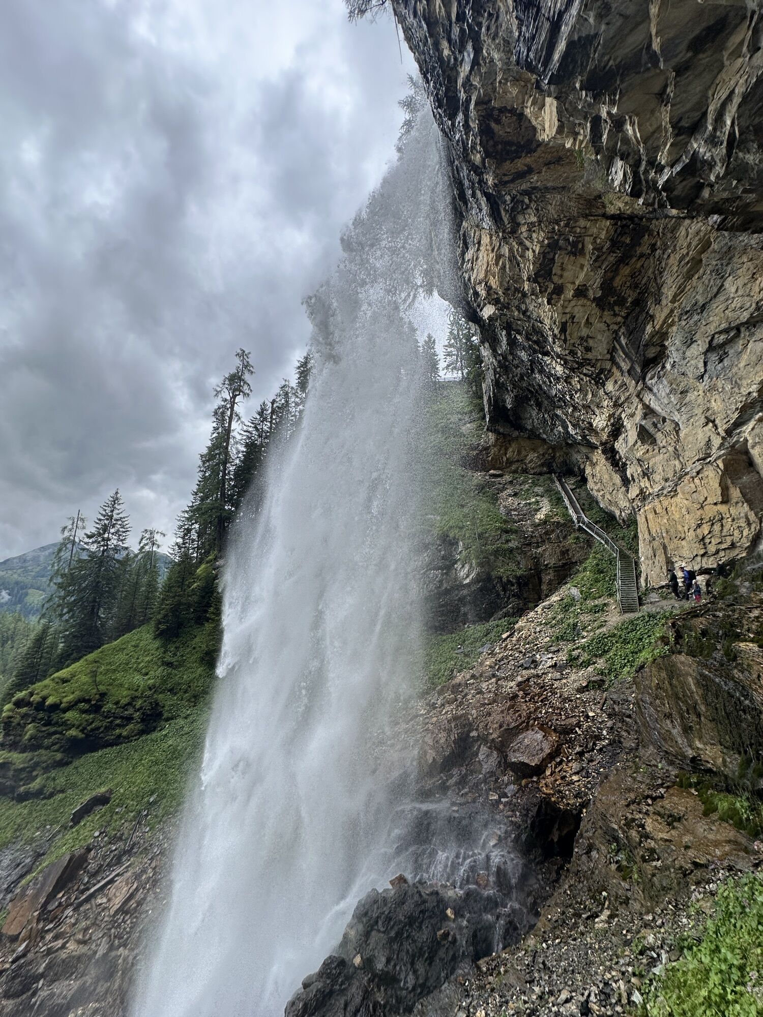
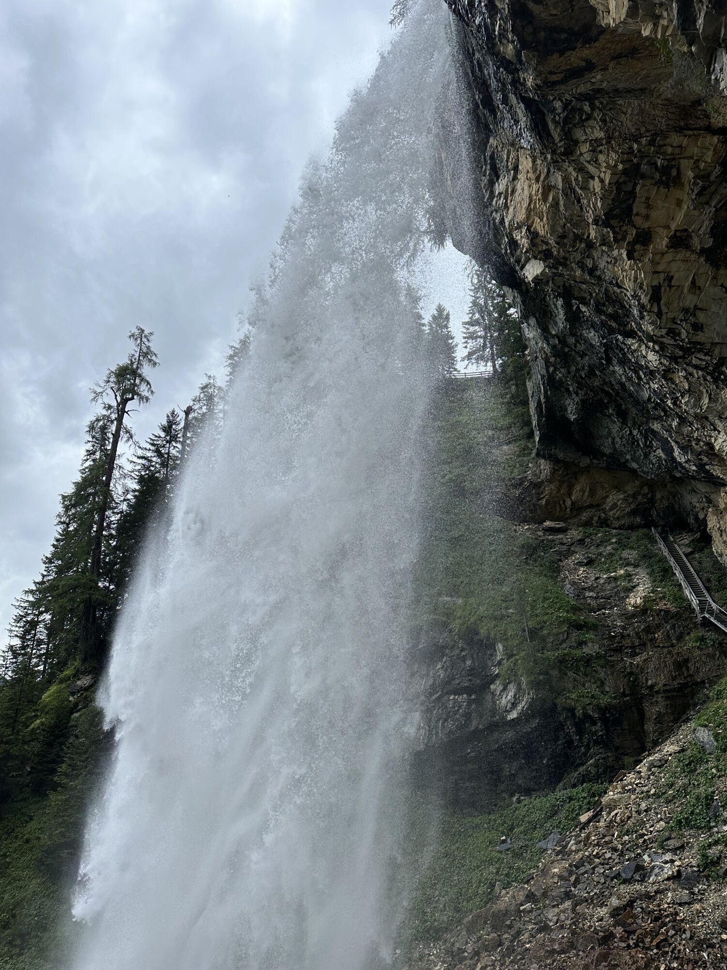
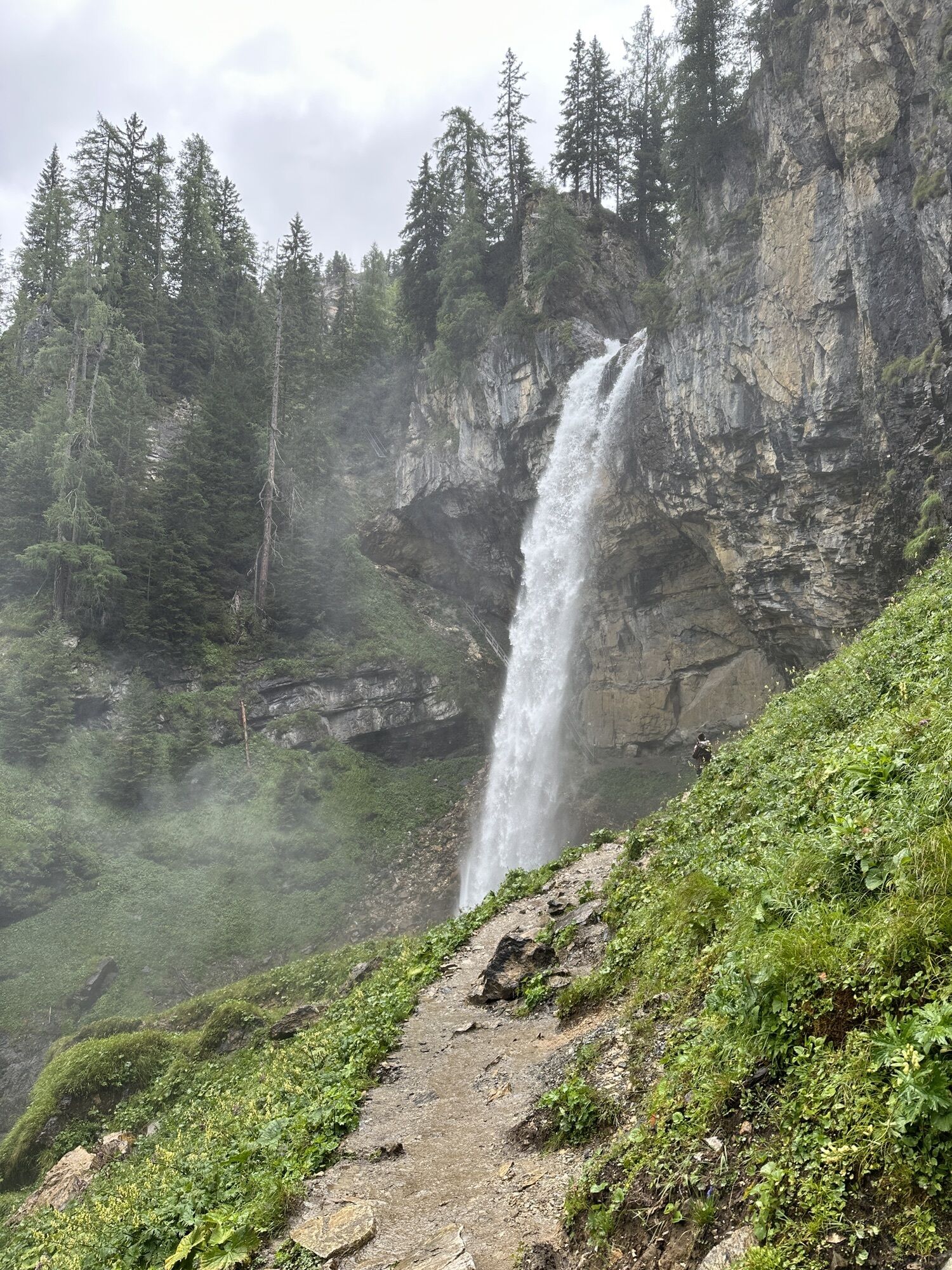
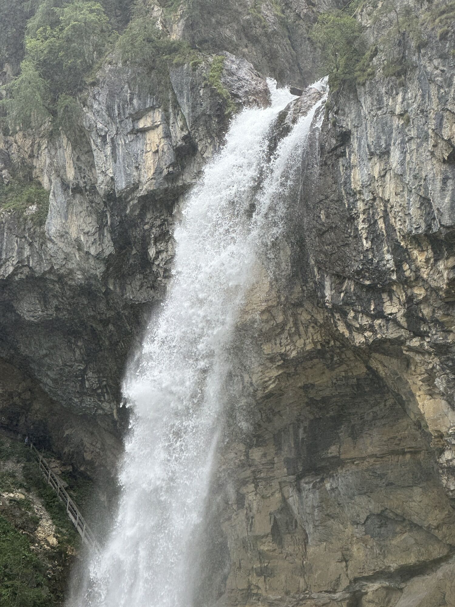
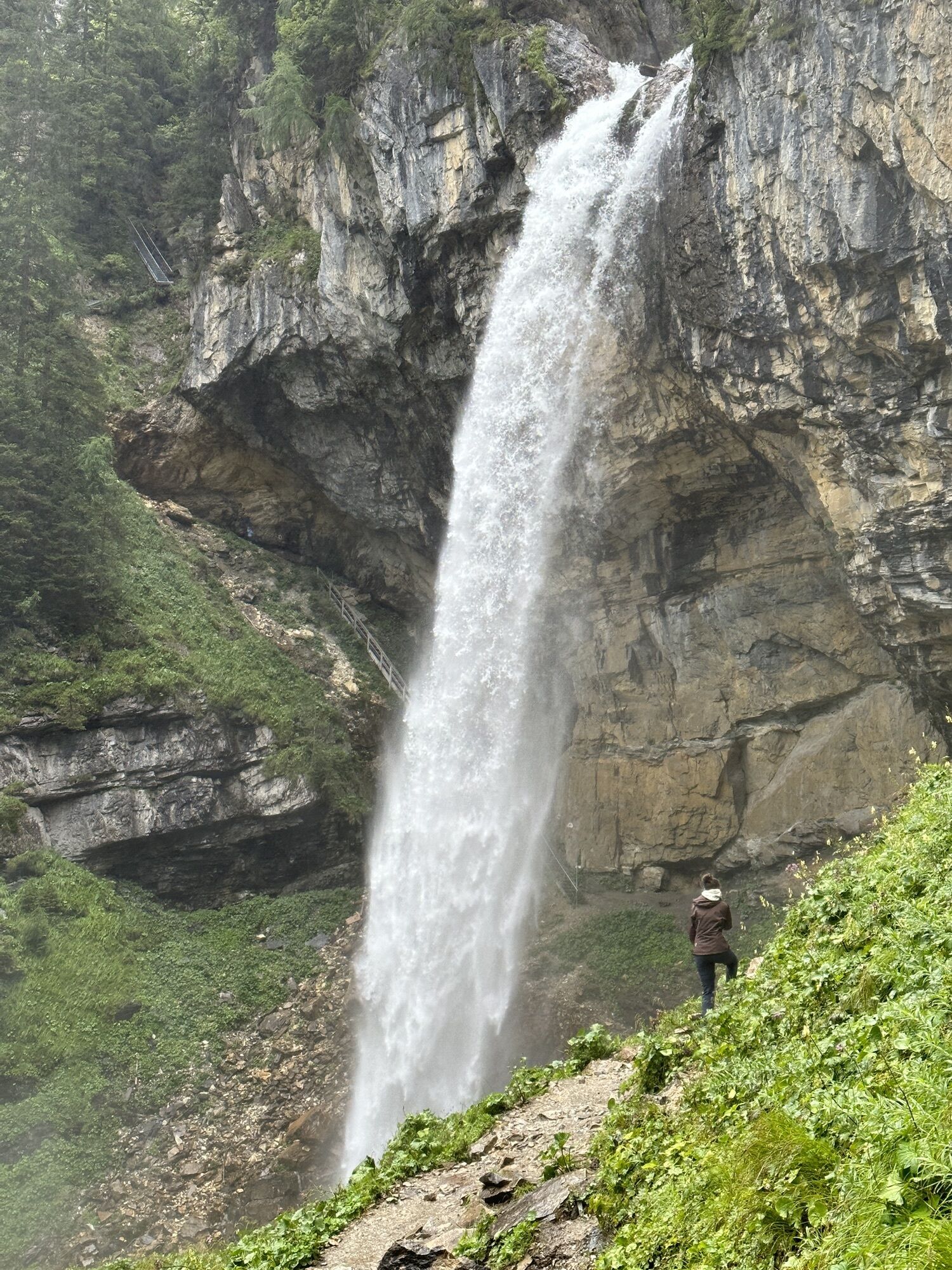
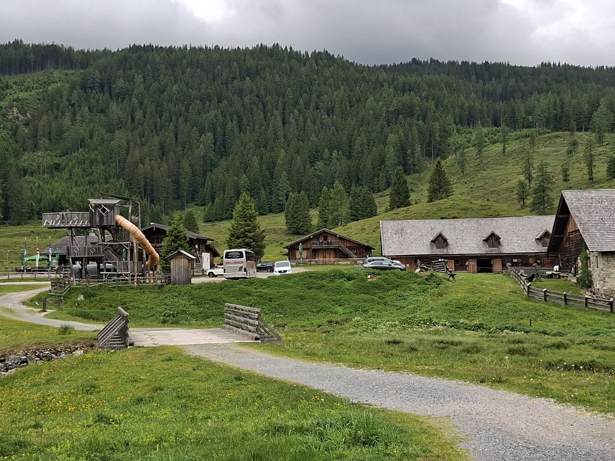
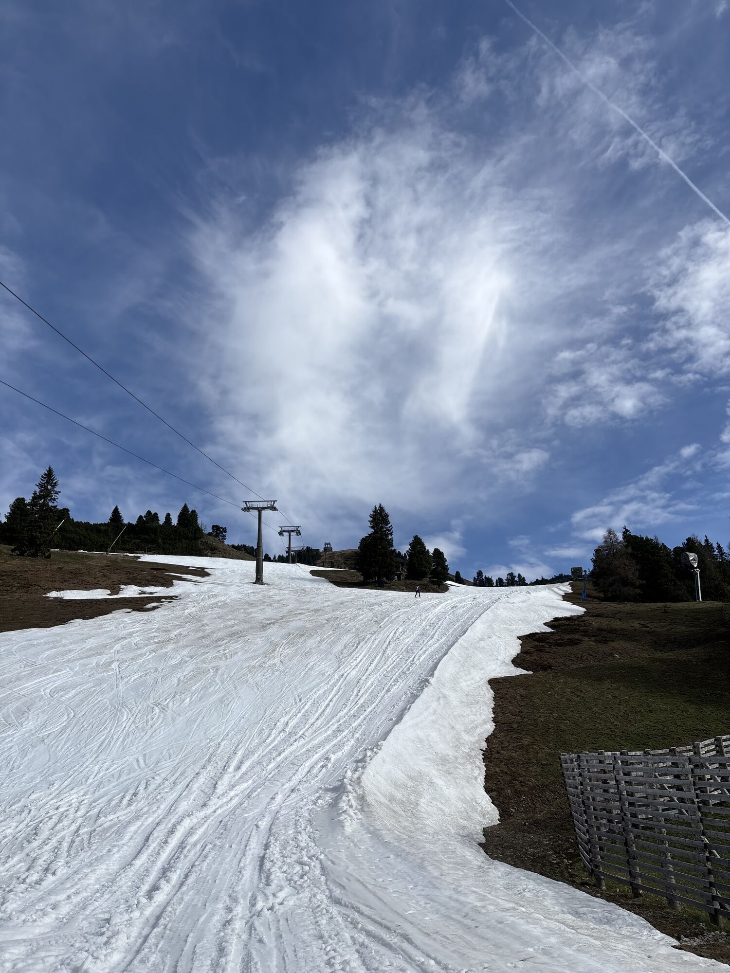
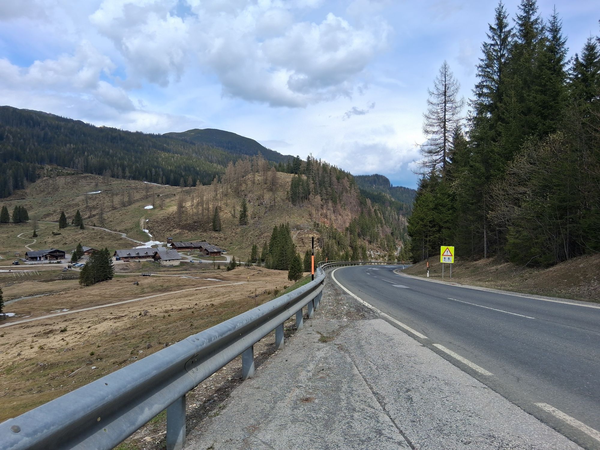
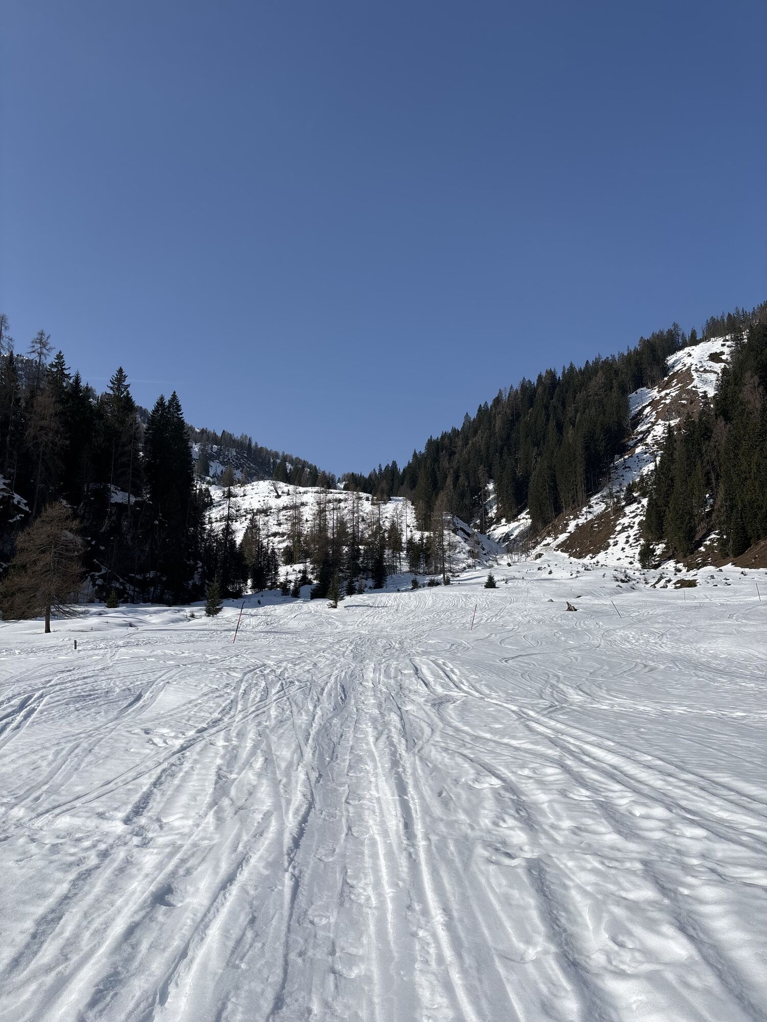
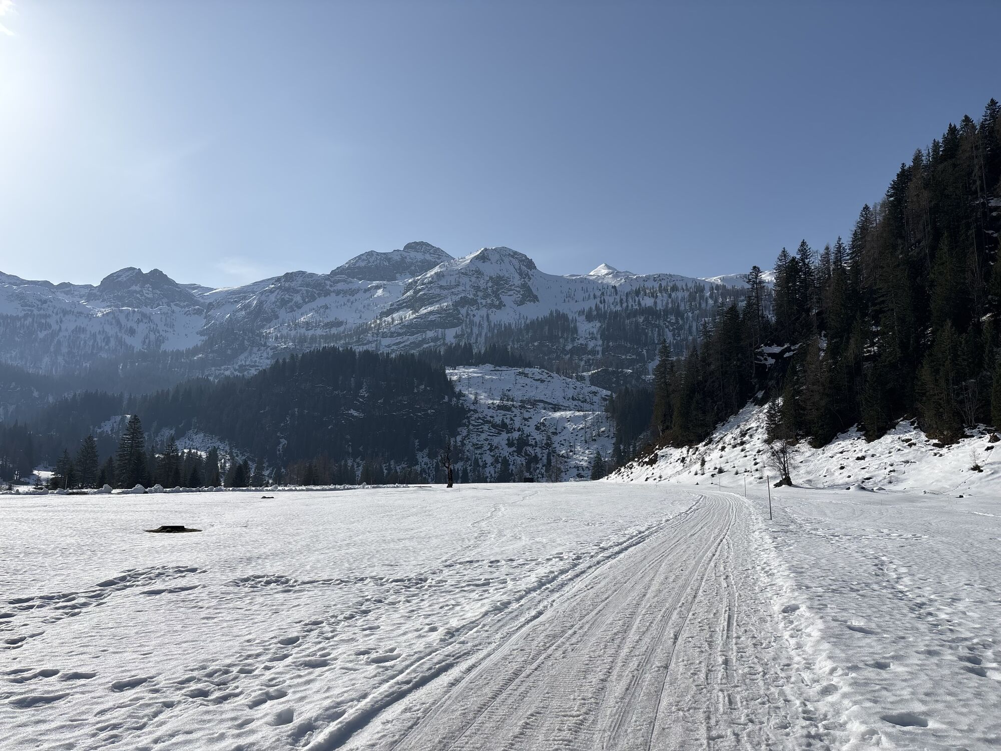
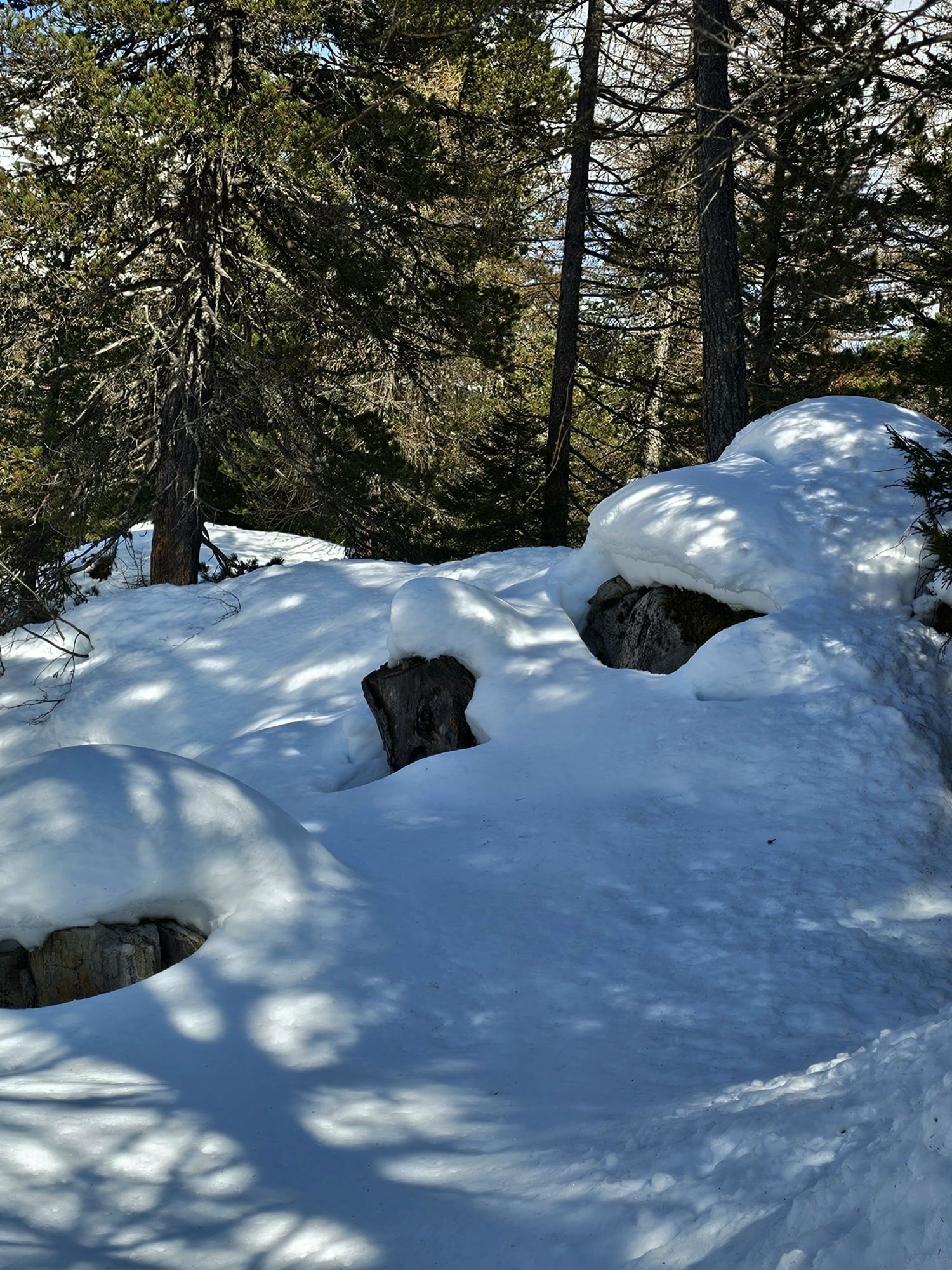
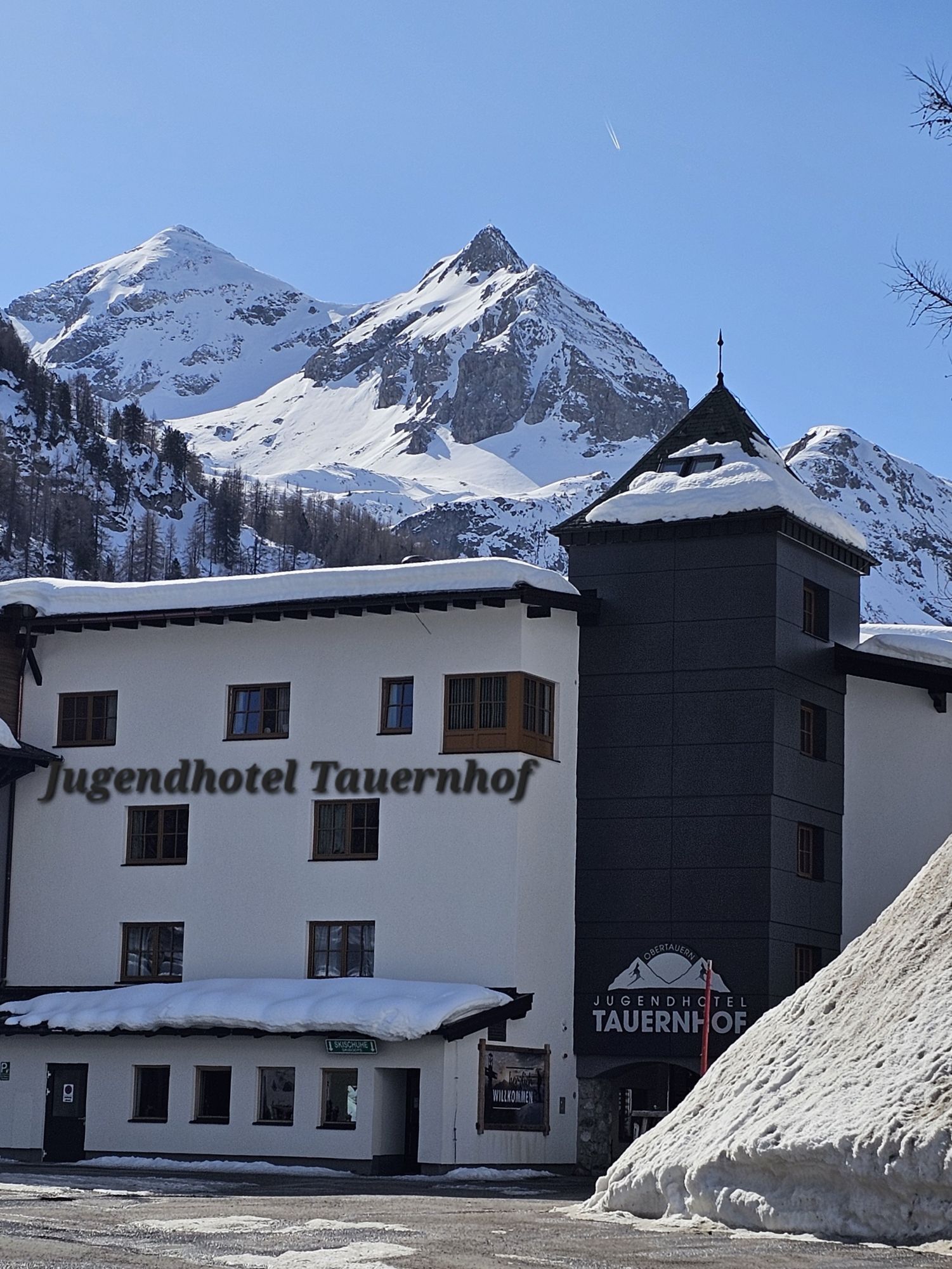
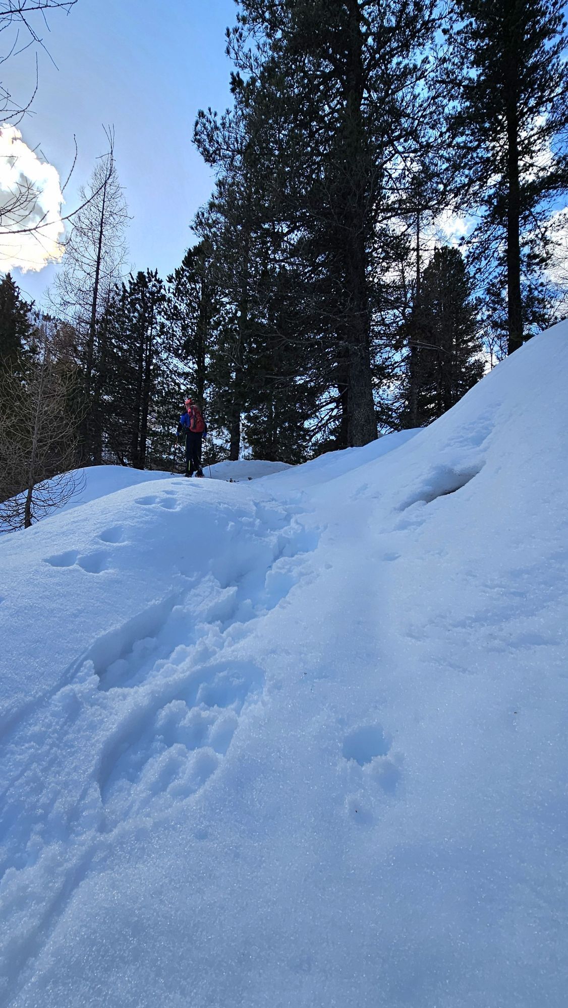
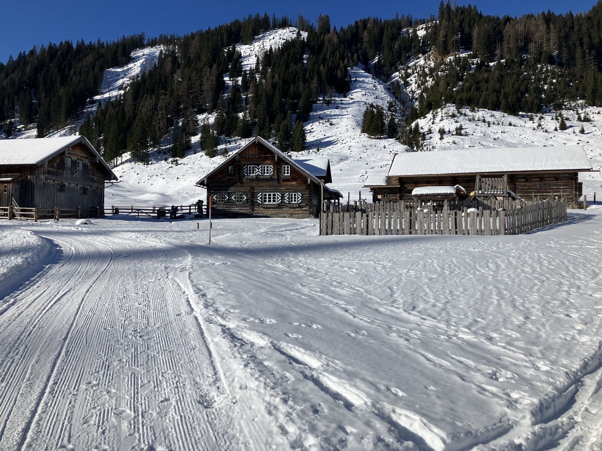
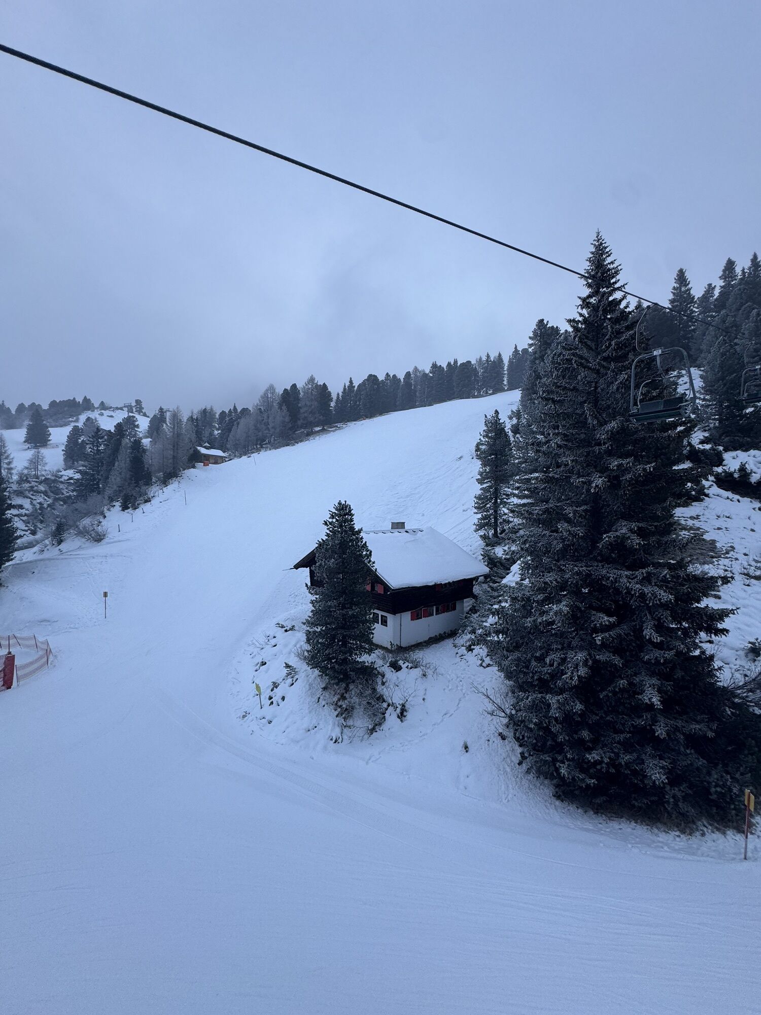
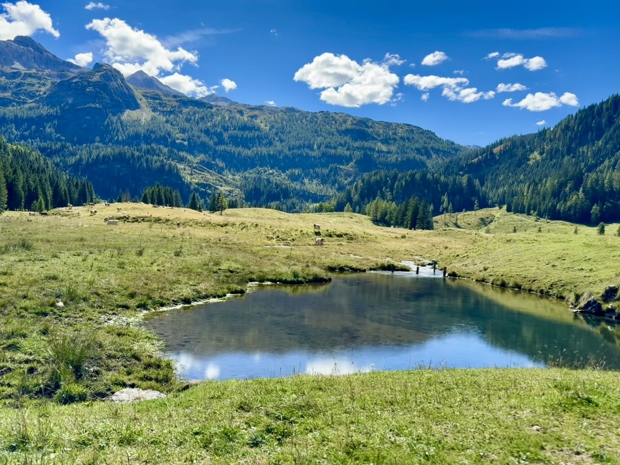
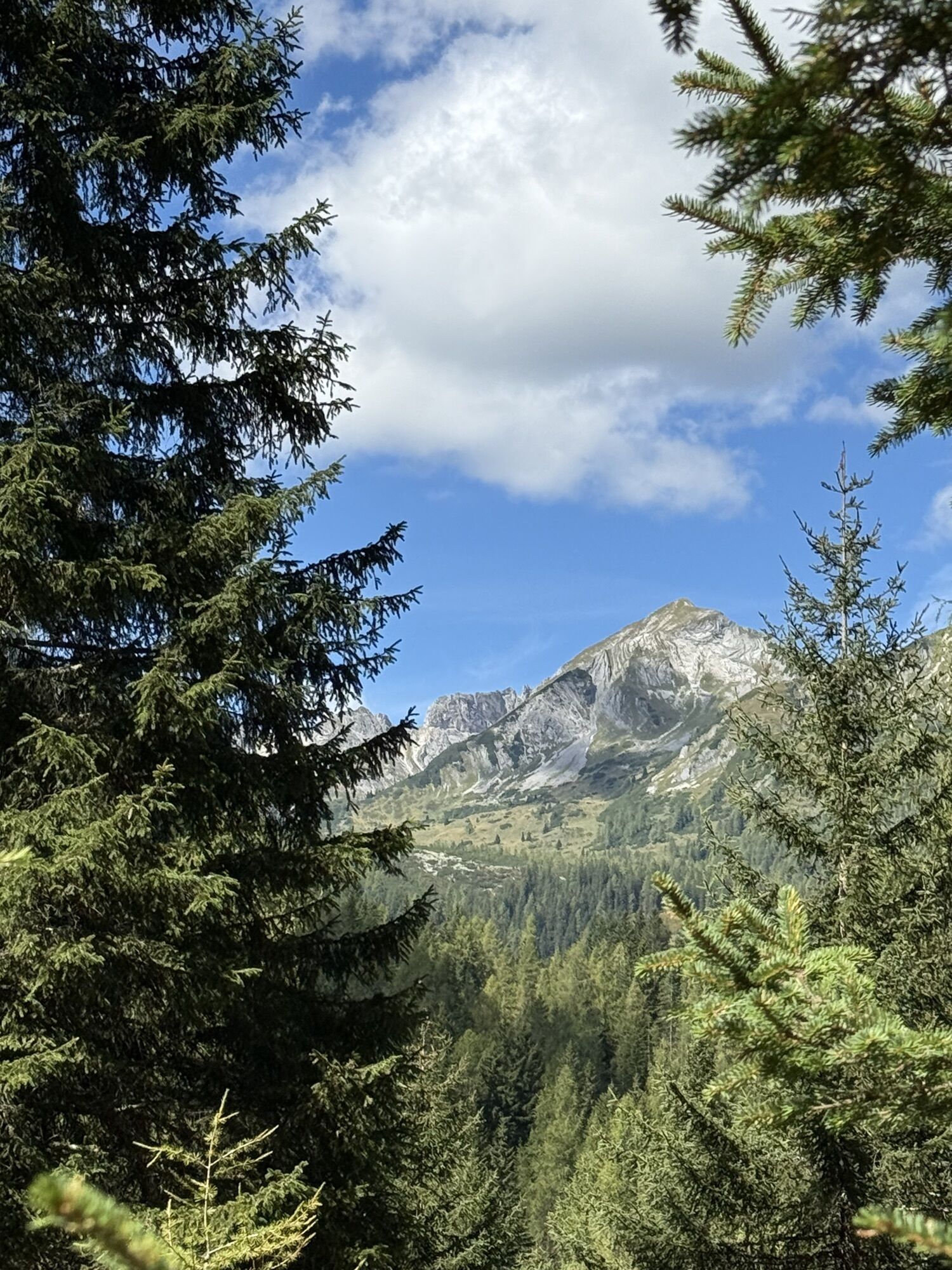
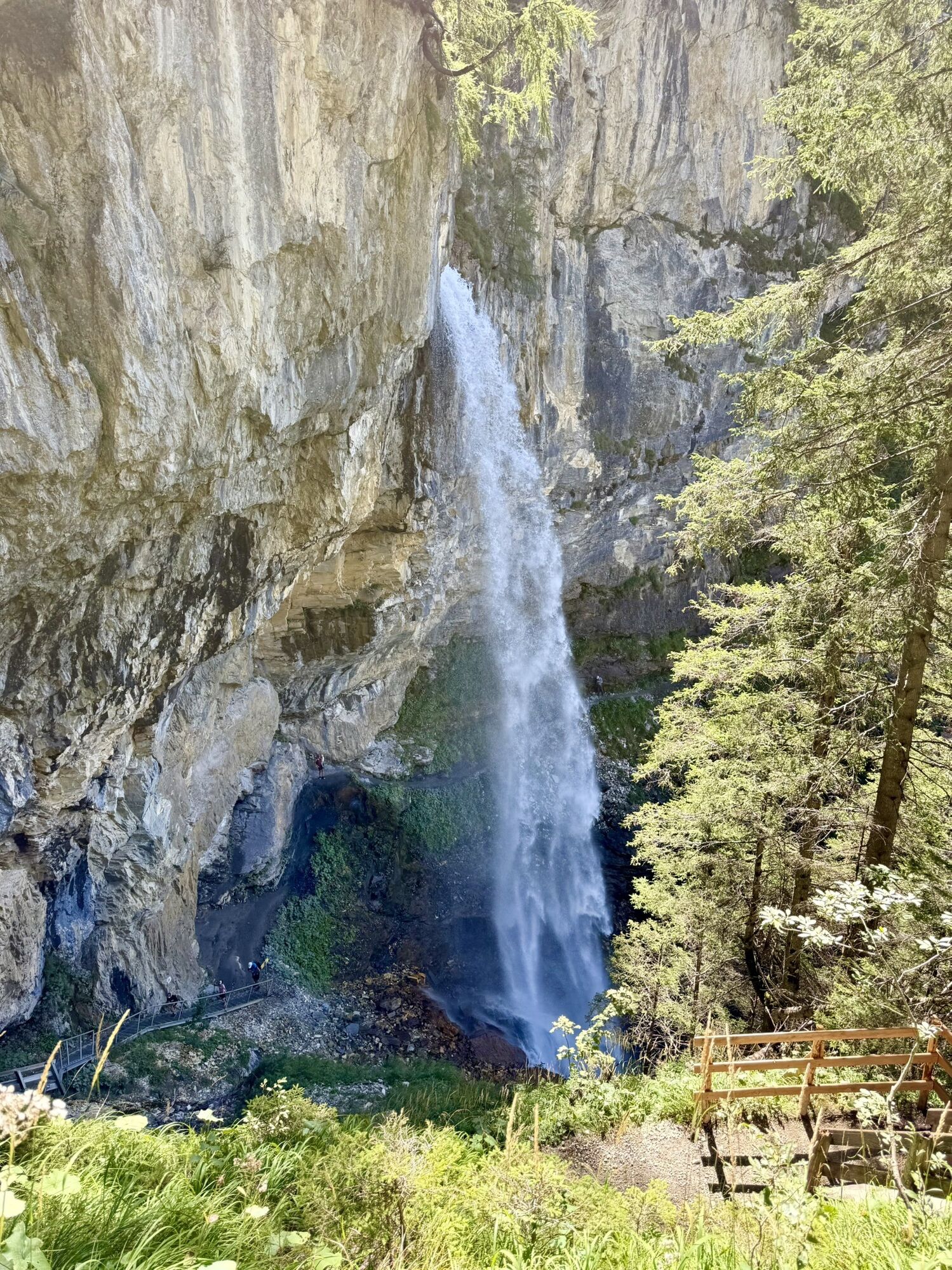

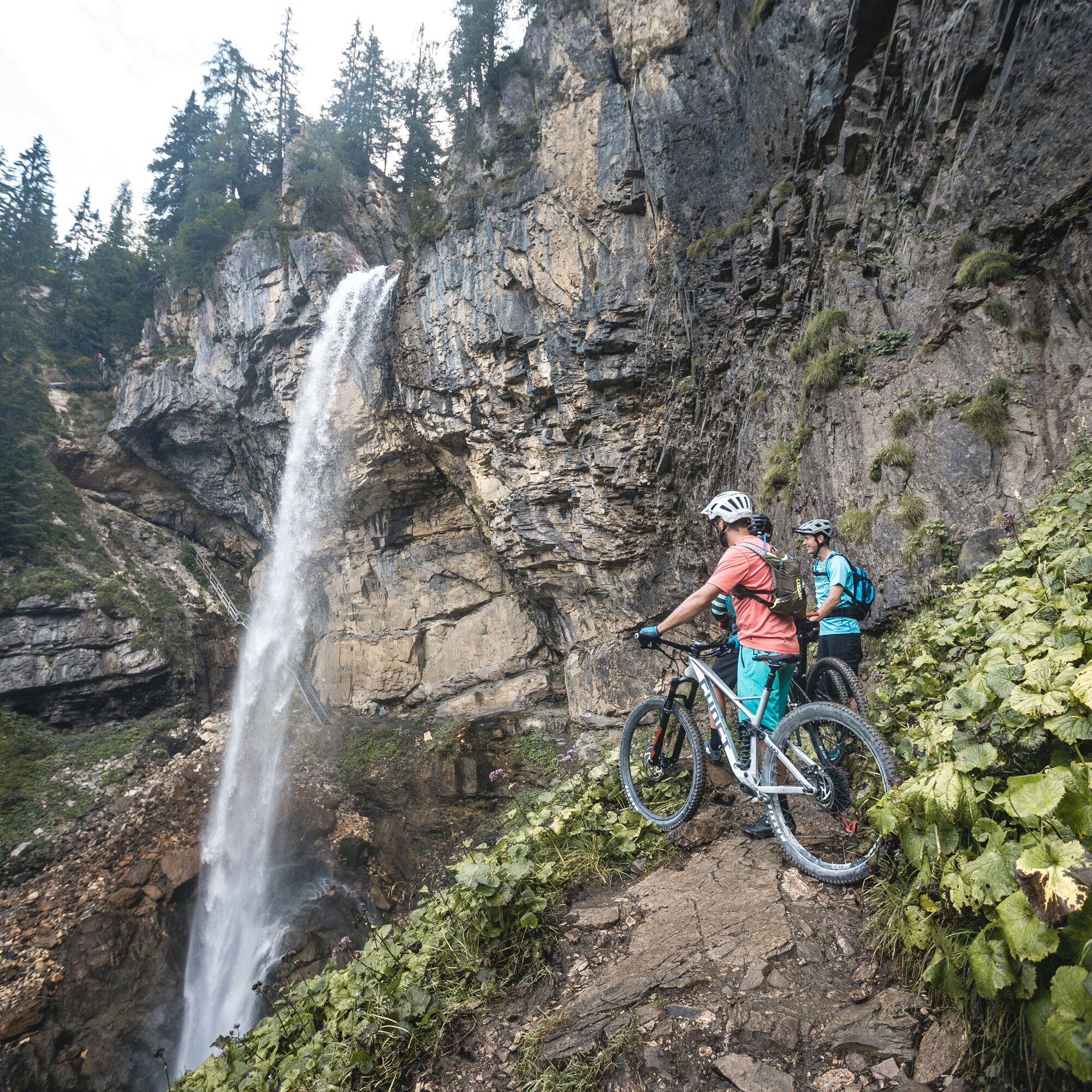

The start is in Obertauern. You first ride downhill on the forest road to Felseralm, from there continue toward Johanneswasserfall, which you reach via a short detour. Afterwards, it goes downhill to Gnadenalm, which is ideal for a rest.
For the return, follow the main road slightly uphill back toward Obertauern. After the tunnel, the road flows back into the area of Felseralm, from where you take the last climb back to the town center.
Anyone starting out with a mountain bike in the terrain should be well equipped – for safety, comfort, and riding fun.
A helmet is mandatory, gloves and protectors (knees, elbows, back) offer additional protection. Breathable clothing, padded cycling shorts, and sturdy shoes provide comfort – ideal in any weather with a wind or rain jacket. Don't forget a water bottle or hydration system, as well as a small snack for in between. A first aid kit and a charged phone for emergencies are also advisable.
Short push section at the Johanneswasserfall. Rideable for switchback specialists.
ARRIVAL BY CAR:
Arrive safely, quickly, and easily at your holiday destination. Obertauern is easily accessible via well-developed roads – and from all directions!
Access from the north
Motorway Munich - Salzburg - A10 Tauern Motorway - motorway exit Radstadt, Exit 63 - B99 Katschberg federal road - Radstadt - Obertauern
Access from the south
Villach - A10 Tauern Motorway - motorway exit toll station St. Michael, Exit 104 - Mauterndorf - Obertauern
Access from the east
Vienna - A2 - S6 - Semmering - A9 Pyhrn Motorway - Liezen B320 - Radstadt or Judenburg - Murtal federal road - Murau - Tamsweg - Mauterndorf - Obertauern
TIP: If you want to arrive by public transport, the Postbus line 280 stops directly in Obertauern.
Online bus timetable information
Parking spaces are available free of charge at P2 Zehnerkar, P3 Grünwaldkopf, P4 Sonnenlift, P5 Gamsleiten, P7 Schaidberg parking lot (hiking parking), as well as the Obertauern mountain pass.
S2
Photo point: Natural Monument Johanneswasserfall.

Webové kamery z prehliadky
-
Gamskogelhütte
-
Plattenkar
-
Gnadenalm
-
Grünwaldkopf
-
Zehnerkar
-
Seekar
-
Sporthotel Snowwhite
-
Hotel Cinderella
-
Sonnenterasse Edelweissalm
-
Hotel Garni Gloria
-
Lürzeralm
-
Hotel Kesselspitze
-
Hotel Auerhahn - Obertauern
-
Hotel Schneider
-
Breitlehenalm
-
Zauchensee Weltcuparena
-
Gamsleiten
-
Zauchensee
-
Hochalmkopf
-
Zauchensee Weltcuparena
-
Obertauern - Haus Petergstamm
-
Zauchensee - Hotel Alpenhof
-
Seekarhaus - Obertauern
-
Seekarhaus - Bergstation Seekarspitzbahn
-
Zauchensee - Rosskopf
-
Seekarhaus 3
-
Schaidberg
-
Zehnerkar
-
Obertauern - Aparthotel Weninger Alm
-
Obertauern - Hundskogel
-
Obertauern - Gamsleiten
-
Hotel “Der Sailer”
-
Gamsleiten
Získajte prehľad
Vždy naživo na mieste s viac ako 9 500 webovými kamerami. bergfex Ako používateľ Pro si teraz môžete pozrieť príslušné webové kamery pre mnohé zájazdy v aplikácii zájazdy z. Môžete si tak priamo prezerať aktuálne podmienky.
Obľúbené výlety v okolí
-
4,9
Rundwanderweg von der Fallhausalm und Vögeialm übers Klamml zur Oberhütte am See
strednáTuristika 10 km -
4,8
4-Jahreszeiten Wanderweg
strednáZimná turistika 5,94 km -
4,6
Ski route Lackenkogel
strednáSkitour 7,82 km -
5,0
Twengsee
strednáTuristika 9,66 km -
4,8
Obertauern to the Johannes Waterfall
strednáTuristika 9,39 km -
4,7
Reiteralmrunde
svetloTuristika 5,71 km -
4,6
Mosermandl Windischscharte, Salzburger Land/Österreich
ťažkéTuristika 14,6 km -
5,0
Doggotour von Hochwurzen zur Ursprungsalm
ťažkéTuristika 16,0 km -
4,5
Ursprungalm - Hochwurzen
strednáTuristika 9,37 km -
4,3
Ennskraxn (2410m)
ťažkéTuristika 14,7 km
Turistika a stopovanie


Nenechajte si ujsť ponuky a inšpiráciu na ďalšiu dovolenku
Vaša e-mailová adresa bol pridaný do poštového zoznamu.





